 Block
Block
Lena, Ohio
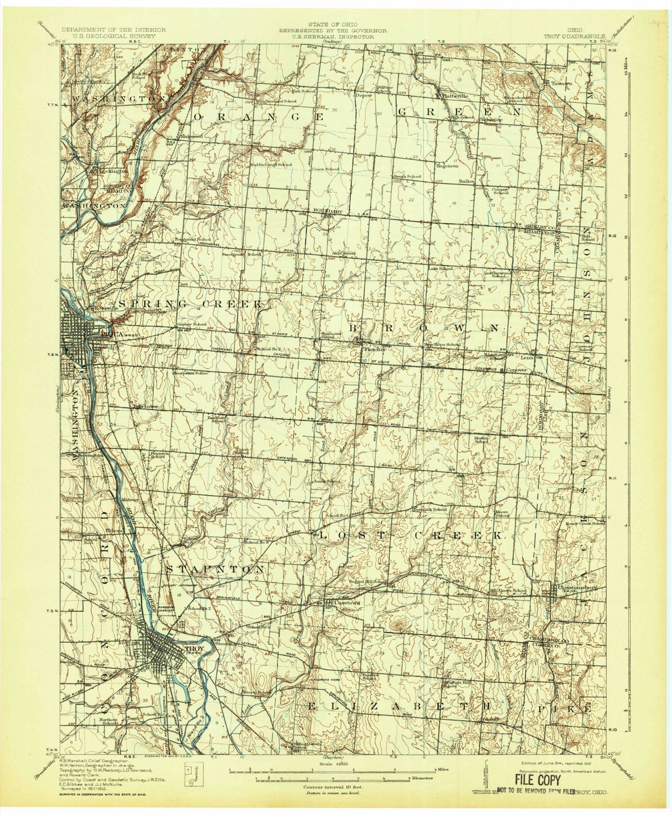
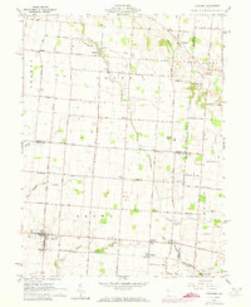
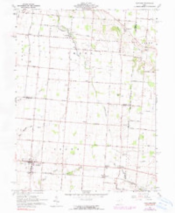
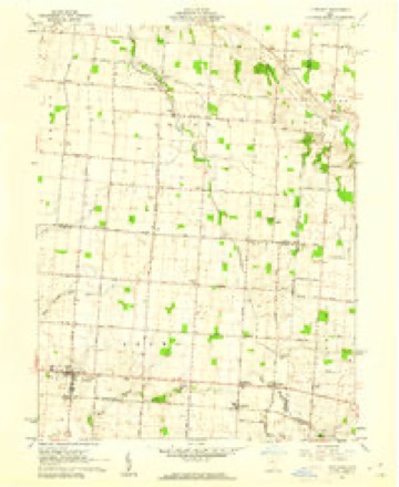
15 topographic sheets cover this place, the earliest surveyed in 1914 and the latest in 1986. It stands in Brown Township. It lies in ZIP code area 45317. The Survey maps it on the Fletcher quadrangle.
Then and now
1914 to 1986The same ground, surveyed 72 years apart. Drag the handle to wipe between them. Both sheets are United States Geological Survey originals; neither has been altered.

Topographic sheets covering this place
15 sheetsMatched by testing this settlement's coordinate against the published boundary of every sheet in the United States Geological Survey's historical collection. Each opens the scanned sheet at the Survey.
- 1914 USGS Troy quadrangle1:62500
- 1914 USGS Troy quadrangle1:62500
- 1944 USGS Troy quadrangle1:62500
- 1953 USGS Muncie quadrangle1:250000
- 1953 USGS Muncie quadrangle1:250000
- 1953 USGS Muncie quadrangle1:250000
- 1953 USGS Muncie quadrangle1:250000
- 1953 USGS Muncie quadrangle1:250000
- 1956 USGS Muncie quadrangle1:250000
- 1961 USGS Fletcher quadrangle1:24000
- 1961 USGS Fletcher quadrangle1:24000
- 1961 USGS Fletcher quadrangle1:24000
- 1986 USGS Piqua quadrangle1:100000
- 1986 USGS Piqua quadrangle1:100000
- 1986 USGS Piqua quadrangle1:100000









In the county-history sources
75,880 words on this townshipThe History of Miami County, Ohio, published 1880 names this settlement in its chapter on Brown Township. These are the passages that mention it, exactly as the scans read.
John D. Corry, a brother-in-law of Maj. Manning, with whom he came to this township, was a native of New Jersey, from which place he emigrated in 1818, and, reaching Ohio, stopped in Dayton the 4th day of July of the same year. Mr. Corry was the first merchant in this part of the township, having purchased a small stock of goods, which he sold at his house as early as 1825. After having been engaged in this business for three or four years, he sold his property here and removed to Shelby County, subsequently moving on to Illinois, where he located permanently.
Passage source: The History of Miami County, Ohio, published 1880.
Cox M. D. Treasurer ; J. F. Collins, Secretary ; E. F. Davis, T. ; S. L. Abiov B. H. White, Stewards. The oldest living member of the lodge is morton ; the youngest, James Wright. Joseph Frazier and . n are toTupward of sUty years of age. The property of the lodge is worth about
Passage source: The History of Miami County, Ohio, published 1880.
Were, he would have been considered by the settlers as a person whosepr^ominant passion was an inexcusable proneness to exaggeration, and yet the - many farms in the township that could not be purchased for t money per acre, and but very few of the land-holders in Spring Cree dispose of their highly productive farms for a less price than this. Almost e ve y species of forest tree indigenous to American soil were found here in su dance as to impress the early settler with the thought that even old Natu forgot or saw no reason why she should economize in the materials provi her use, and, apparently in a mood of apathetic indifference, grew extaravaga - } profuse both in regard to the kind and quality of these gifts which she so indiscriminately over all parts of this township. The kinds of tun abundant when the first settlers came here were the oak, beech, map e a while walnut, elm, hickory and basswood were found in quantities by no inconsiderable. The greater portion of these spontaneous products oi t have long since passed away, and now but a comparatively small P01^10^ township is timbered, and these wooded parts that still remain hftV® ** , thinned out for building purposes, as well as for fhel, that, instead oi tBc appearance it originally presented they have been converted into bea groves, which, threaded by murmuring streams of pure water, afford an mex ible quantity of excellent pasturage. Great quantities of the most durable stone are to be found in many parts of the township, and, from the quftmes being operated, not only is enough material for the stone- work of all buna within the township obtained, but there is also a considerable surplus ®ver is needed for home consumption, which is shipped, not only to different P . our own State, but also the demand from other States proves so extensive be highly remunerative to those who engage in this traffic. . , - m
Passage source: The History of Miami County, Ohio, published 1880.
Machine-read from a century-old scan, so expect the errors a machine makes: misspelled names, dropped words, stray characters.
Read the whole chapter on Brown Township - it names this place 25 more 25 times.
Specimens collected near this place
12 of 45 shownRegional context, not property-specific evidence. Museums hold 45 specimens collected within 10 miles of Lena between 1835 and 1967: 34 Animalia, 5 Plantae, 3 Protozoa, 3 Fungi. 12 distinct Species records are shown. Collected by A. R. Gaufin, A.R. Gaufin, H.H. Ross, Andrew R. Moldenke and others. Each is a physical object with a catalogue number, and each entry opens the museum's record. This is what was collected and kept, not a survey of what lives here - nothing can be concluded from a species being absent.
| Image | Species | Year | Collected by | Where, as recorded |
|---|---|---|---|---|
 | Quercus macrocarpa Michx. | 1835 | Frank | |
 | Gentianella quinquefolia subsp. occidentalis (A.Gray) J.M.Gillett | 1835 | Joseph C. Frank | Ohio, in ditione civitatis Miami |
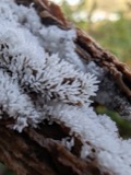 | Ceratiomyxa fruticulosa var. arbuscula (Berk. & Broome) Nann.-Bremek., 1975 | 1897 | Thaxter, R. | USA, Florida, Cocoanut Grove |
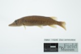 | Esox vermiculatus Lesueur, 1846 | 1930 | Trautman, M. B. (Milton Bernard) & Foster, R. (Robert) | Spring Creek, within central Springcreek township, near Fletcher, Springcreek township |
 | Etheostoma caeruleum Storer, 1845 | 1930 | Trautman, M. B. (Milton Bernard) & Foster, R. (Robert) | Spring Creek, within central Springcreek township, near Fletcher, Springcreek township |
 | Lythrurus fasciolaris (Gilbert, 1891) | 1930 | Trautman, M. B. (Milton Bernard) & Foster, R. (Robert) | Spring Creek, within central Springcreek township, near Fletcher, Springcreek township |
 | Notropis heterolepis Eigenmann & Eigenmann, 1893 | 1930 | Trautman, M. B. (Milton Bernard) & Foster, R. (Robert) | Spring Creek, within central Springcreek township, near Fletcher, Springcreek township |
| Puccinia asparagi DC. | 1941 | Gries | Conover | |
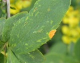 | Puccinia graminis Pers. | 1941 | Gries | Conover |
| Ustilago bullata Berk. | 1941 | Gries | Conover | |
| Isoperla nana (Walsh, 1862) | 1953 | A. R. Gaufin | Piqua-Troy Rd. | |
 | Perlesta lagoi Stark, 1989 | 1953 | Arden R. Gaufin | Piqua Troy Road |
All 45 specimens within 10 miles, at the Global Biodiversity Information Facility.
Storms near this place
2 since 2011Regional context, not property-specific evidence. The National Weather Service names Lena in 2 storm reports between 2011 and 2013: 1 hail, 1 tornado. No death or injury is recorded in these reports. Each account below is quoted exactly as the forecast office filed it, from the NOAA Storm Events Database, and each date opens the federal record of that event.
| When | Event | Place named | Harm | What the report says |
|---|---|---|---|---|
| October 2013 | Tornado (EF0) | Lena | $70,000 | The tornado touched down in a corn field on the west side of Lena-Palestine Road where it produced a clear path of heavily damaged corn stalks. The tornado then crossed Lena-Palestine Road where it destroyed a barn and strewn debris from the barn to the north and upwind of the actual tornado path. A large portion of the barn roof was lifted and thrown upwind into the top of a nearby tree. A tree was also split near this barn. The tornado then continued on the ground and produced heavy damage to a second barn north of the first barn before the tornado lifted. Based on the damage surveyed, the maximum wind speed of this tornado was estimated at 75 miles per hour. |
| July 2011 | Hail | Lena | - | no account filed |
Nearest settlements
The eight closest, with where each one stands in the county. Distances are straight-line, computed from the Geographic Names Information System coordinates.
| Map | Place | Distance | Sheets |
|---|---|---|---|
| Conover | 0.8 miles | 15 | |
| Sodom (historical) | 4.2 miles | 15 | |
| Fletcher | 4.3 miles | 15 | |
| Casstown | 8.0 miles | 17 | |
| Alcony | 9.0 miles | 15 | |
| Haven View | 9.3 miles | 15 | |
| Hunters Ridge | 9.6 miles | 17 | |
| Hunters Run | 9.6 miles | 17 |
Provenance
This settlement is recorded in the Geographic Names Information System as feature 1070813. The sheet list is computed by point-in-boundary test against the United States Geological Survey's historical topographic inventory. Both are works of the United States government and carry no copyright under 17 U.S.C. 105.
Specimens. Global Biodiversity Information Facility (GBIF), https://www.gbif.org/. Only records licensed CC0 or CC BY are used. Records licensed CC BY-NC are excluded because this site carries advertising. Images are checked individually and any whose licence is non-commercial, no-derivatives or unreadable is refused.
Storms. NOAA National Centers for Environmental Information, Storm Events Database https://www.ncei.noaa.gov/stormevents/ A work of the United States government, no copyright under 17 U.S.C. 105. Narratives are quoted verbatim from the National Weather Service report and are not edited or summarised.