 Block
Block
Liberty, Ohio
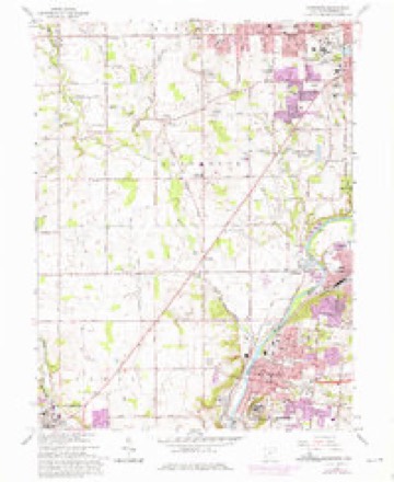
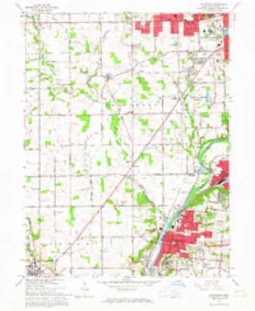
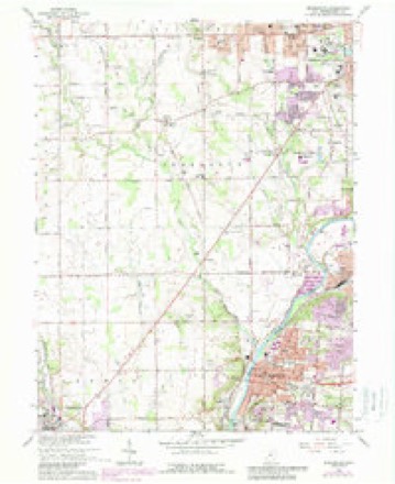
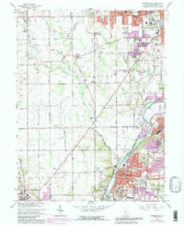
13 topographic sheets cover this place, the earliest surveyed in 1908 and the latest in 1986. It stands in Jefferson Township. It lies in ZIP code area 45417. It stands on Little Bear Creek. The Survey maps it on the Miamisburg quadrangle.
Then and now
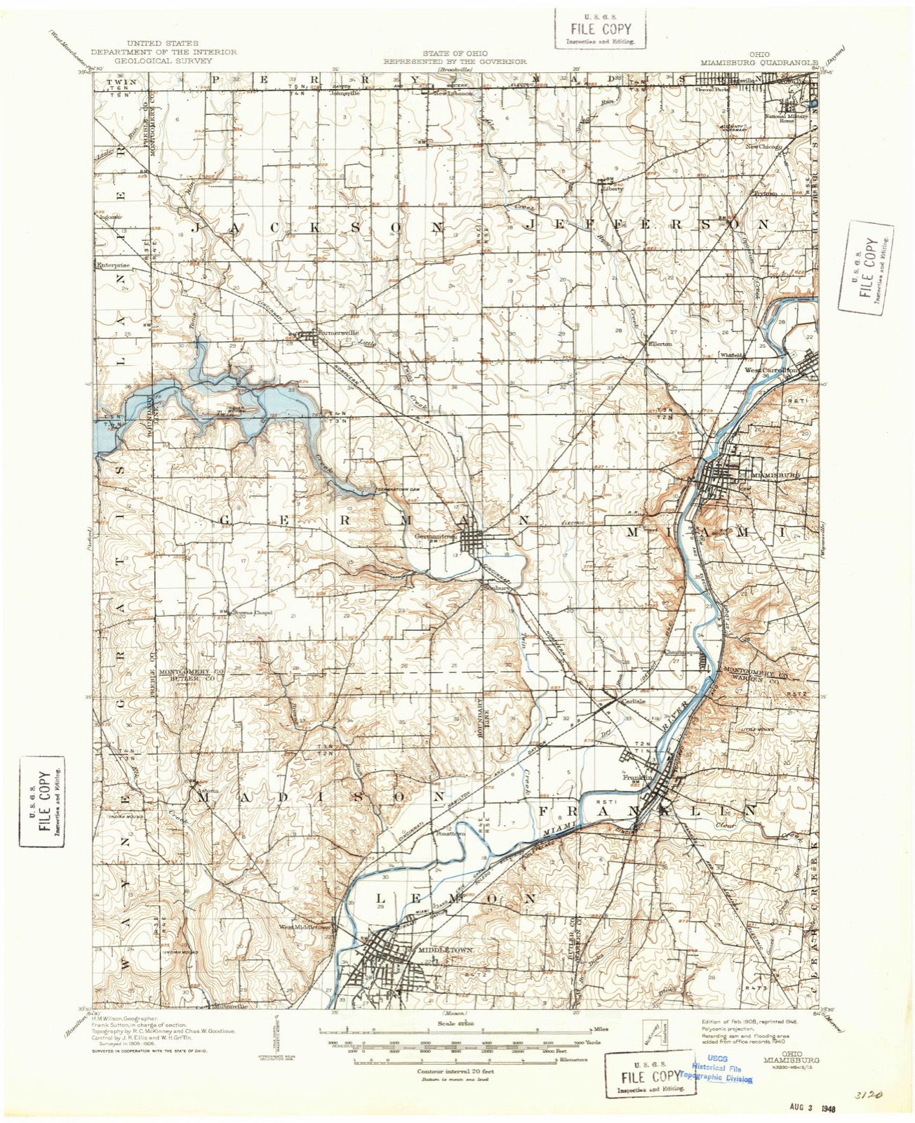
1908 to 1986The same ground, surveyed 78 years apart. Drag the handle to wipe between them. Both sheets are United States Geological Survey originals; neither has been altered.

Topographic sheets covering this place
13 sheetsMatched by testing this settlement's coordinate against the published boundary of every sheet in the United States Geological Survey's historical collection. Each opens the scanned sheet at the Survey.
- 1908 USGS Miamisburg quadrangle1:62500
- 1953 USGS Cincinnati quadrangle1:250000
- 1953 USGS Cincinnati quadrangle1:250000
- 1953 USGS Cincinnati quadrangle1:250000
- 1955 USGS Miamisburg quadrangle1:24000
- 1955 USGS Miamisburg quadrangle1:24000
- 1957 USGS Cincinnati quadrangle1:250000
- 1965 USGS Miamisburg quadrangle1:24000
- 1965 USGS Miamisburg quadrangle1:24000
- 1965 USGS Miamisburg quadrangle1:24000
- 1965 USGS Miamisburg quadrangle1:24000
- 1986 USGS Dayton quadrangle1:100000
- 1986 USGS Dayton quadrangle1:100000






In the county-history sources
30,650 words on this townshipThe History of Montgomery County, Ohio, Containing a History of the County;, published 1882 names this settlement in its chapter on Jefferson Township. These are the passages that mention it, exactly as the scans read.
Their families accompanied them, but of what they consisted we are unto to say. They effected settlements along Bear Creek. Among those come a. little later were George Hoffman and family. Hoffman came from off aurel Hill," eager to leave the land of chestnuts for a home in the Western ost, beneath whose boughs and shaded turf lie hidden untold wealth. He nisred a half-section of land east of Liberty, and at once, with the assistance of . inestimable wife, built in the forest primeval a rude shed, which served as a pile of abode for all until time and circumstances permitted of a change, ffman had been united in marriage with Fannie Enimert, and the union was Isedwith thirteen children - Barbara, Betsey, Susie, Jacob, John, Fannie,
Passage source: The History of Montgomery County, Ohio, Containing a History of the County;, published 1882.
What is known as the Forney Graveyard, comprising about one-half acre ground, lying west of Liberty, is also one of the very early burying-grounds. b Nicholas yard, near that church, is second in size, and interments were bwise made there in early days. The remaining two, one at the United bthren Church, in Liberty, and the other south of that town, are small. Of 1 origin of these, we have been unable to derive any knowledge.
Passage source: The History of Montgomery County, Ohio, Containing a History of the County;, published 1882.
The little town of Liberty is situated near the center of the township, and tains a population of about 225. Although several cabins were clustered bl ut the site of the town for years prior to 1815, it was not laid out into town and platted until December of that year. The land was owned by Peter 3 her, and by him laid out. Why it was so named is buried in the past, but v e we permitted to offer a solution it would be that the word expressed to ! pioneers a sentiment most dear. They were lovers of freedom. Originally, be were seventy-two lots. A bachelor by the name of William Brown built l first of a cluster of cabins referred to and in it dwelt in lonely bliss, and i 'e opened the first store in the township. He was not contented to remain 'cfined to the trade of the neighborhood, and so occasionally went on a tour oeddling. This was about the year 1809. I
Passage source: The History of Montgomery County, Ohio, Containing a History of the County;, published 1882.
Machine-read from a century-old scan, so expect the errors a machine makes: misspelled names, dropped words, stray characters.
Read the whole chapter on Jefferson Township - it names this place 13 more 13 times.
Specimens collected near this place
12 of 599 shownRegional context, not property-specific evidence. Museums hold 599 specimens collected within 10 miles of Liberty between 1835 and 1975: 442 Animalia, 88 Plantae, 61 Fungi, 4 Chromista, 3 Protozoa, 1 Unrecorded. 12 distinct Species records are shown. Collected by A. E. Foeerste, A. E. Foerste, A. F. Foerste and others. Each is a physical object with a catalogue number, and each entry opens the museum's record. This is what was collected and kept, not a survey of what lives here - nothing can be concluded from a species being absent.
| Image | Species | Year | Collected by | Where, as recorded |
|---|---|---|---|---|
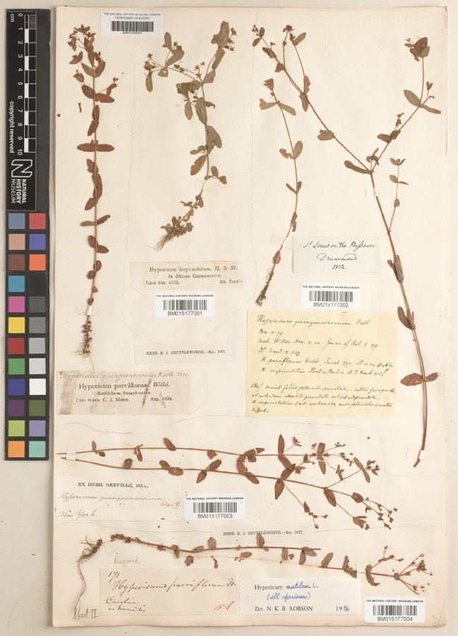 | Hypericum mutilum subsp. mutilum | 1835 | Joseph C. Frank | Germantown |
 | Ambrosia artemisiifolia L. | 1881 | Foerste AF | |
 | Geaster limbatus Fr. | 1883 | A. E. Foeerste | Dayton |
 | Platanthera leucophaea (Nutt.) Lindl. | 1836 | C. W. Short | Dayton |
 | Hydrophyllum macrophyllum Nutt. | 1838 | J. W. Van Cleve | Dayton |
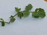 | Cardamine L. | 1839 | Sanders, Alfred; J.J. Nagel, J.G. Haupt. | Dayton. 1 mile east. |
 | Cassia marilandica L. | 1839 | Sanders, Alfred | Dayton |
 | Cynoglossum officinale L. | 1839 | not recorded | Dayton. Suburbs E. |
 | Iris versicolor L. | 1839 | not recorded | Dayton. 2 mi. south |
 | Nuphar advena (Aiton) Aiton | 1839 | Sanders, Mrs.; J.G. Haupt | Dayton |
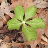 | Podophyllum peltatum L. | 1839 | Nagel, J.J.; J.G. Haupt | Dayton. 1 m. SE |
 | Polygala verticillata L. | 1839 | Sanders, Alfred [?] | 1 mile SE of Dayton |
All 599 specimens within 10 miles, at the Global Biodiversity Information Facility.
Mines and quarries near this place
6 within 5 milesRegional context, not property-specific evidence. The federal mineral resources record lists 6 workings within 5 miles of Liberty: 3 producers, 2 past producers, 1 plant. 4 still produce. What was taken out: Sand and Gravel, Construction, Limestone, General, Stone, Crushed/Broken. Distance is straight-line from the map coordinates, so a quarry counted here may appear on a neighbouring settlement's page as well.
| Where | Site | Commodity | Status | Recorded |
|---|---|---|---|---|
| Olive Road Limestone Plant | Stone, Crushed/Broken | Plant | ||
| Olive Road Quarry | Limestone, General | Past Producer | Sedimentary | |
| Carter & Webb Incorporated | Sand and Gravel, Construction | Producer | ||
| Hilltop Pit | Sand and Gravel, Construction | Producer | ||
| Number 1 Pit | Sand and Gravel, Construction | Past Producer | Sedimentary | |
| West Carrollton Aggregate No. 1 Pit | Sand and Gravel, Construction | Producer |
Storms near this place
3 since 2013Regional context, not property-specific evidence. The National Weather Service names Liberty in 3 storm reports between 2013 and 2020: 2 flash flood, 1 thunderstorm wind. No death or injury is recorded in these reports. Each account below is quoted exactly as the forecast office filed it, from the NOAA Storm Events Database, and each date opens the federal record of that event.
| When | Event | Place named | Harm | What the report says |
|---|---|---|---|---|
| October 2013 | Thunderstorm Wind | Liberty | $50,000 | A barn and numerous trees were blown down between Germantown and New Lebanon due to thunderstorm winds. |
| March 2020 | Flash Flood | Liberty | $3,000 | There was a high water rescue on Dayton Farmersville Road near Liberty Ellerton Road. |
| March 2020 | Flash Flood | Liberty | - | Several roads remained closed due to high water, mainly in Jefferson Township. |
Nearest settlements
The eight closest, with where each one stands in the county. Distances are straight-line, computed from the Geographic Names Information System coordinates.
| Map | Place | Distance | Sheets |
|---|---|---|---|
| Six Mile | 2.0 miles | 13 | |
| Voyager Village West | 2.6 miles | 13 | |
| Frytown | 2.7 miles | 13 | |
| Drexel | 2.7 miles | 13 | |
| Kingsville (historical) | 2.9 miles | 13 | |
| Ellerton | 3.0 miles | 13 | |
| Ridgewood Heights | 3.4 miles | 13 | |
| New Chicago | 3.6 miles | 13 |
Provenance
This settlement is recorded in the Geographic Names Information System as feature 1065710. The sheet list is computed by point-in-boundary test against the United States Geological Survey's historical topographic inventory. Both are works of the United States government and carry no copyright under 17 U.S.C. 105.
Specimens. Global Biodiversity Information Facility (GBIF), https://www.gbif.org/. Only records licensed CC0 or CC BY are used. Records licensed CC BY-NC are excluded because this site carries advertising. Images are checked individually and any whose licence is non-commercial, no-derivatives or unreadable is refused.
Mines and quarries. USGS Mineral Resources Data System (MRDS) https://mrdata.usgs.gov/mrds/ A work of the United States government, no copyright under 17 U.S.C. 105.
Storms. NOAA National Centers for Environmental Information, Storm Events Database https://www.ncei.noaa.gov/stormevents/ A work of the United States government, no copyright under 17 U.S.C. 105. Narratives are quoted verbatim from the National Weather Service report and are not edited or summarised.