 Block
Block
Londonderry, Ohio
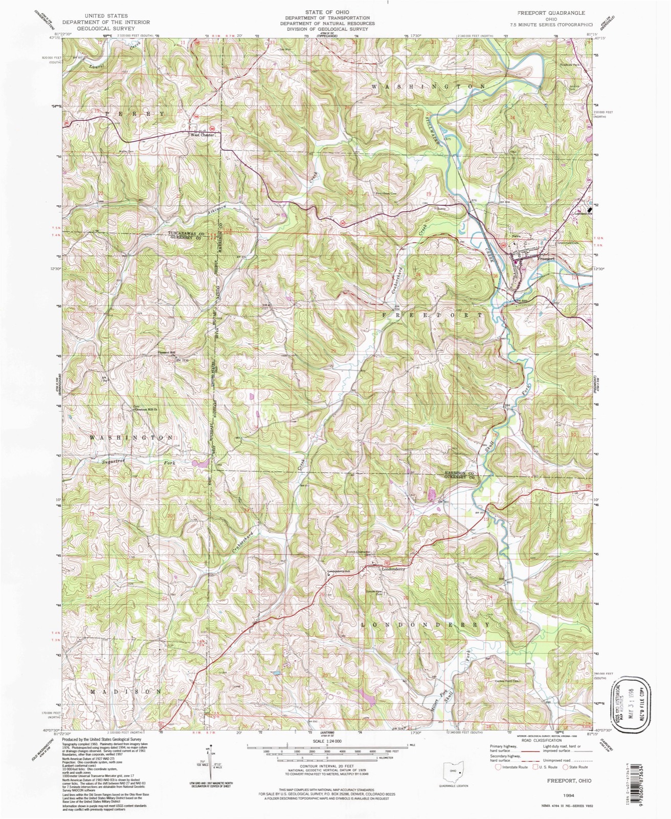
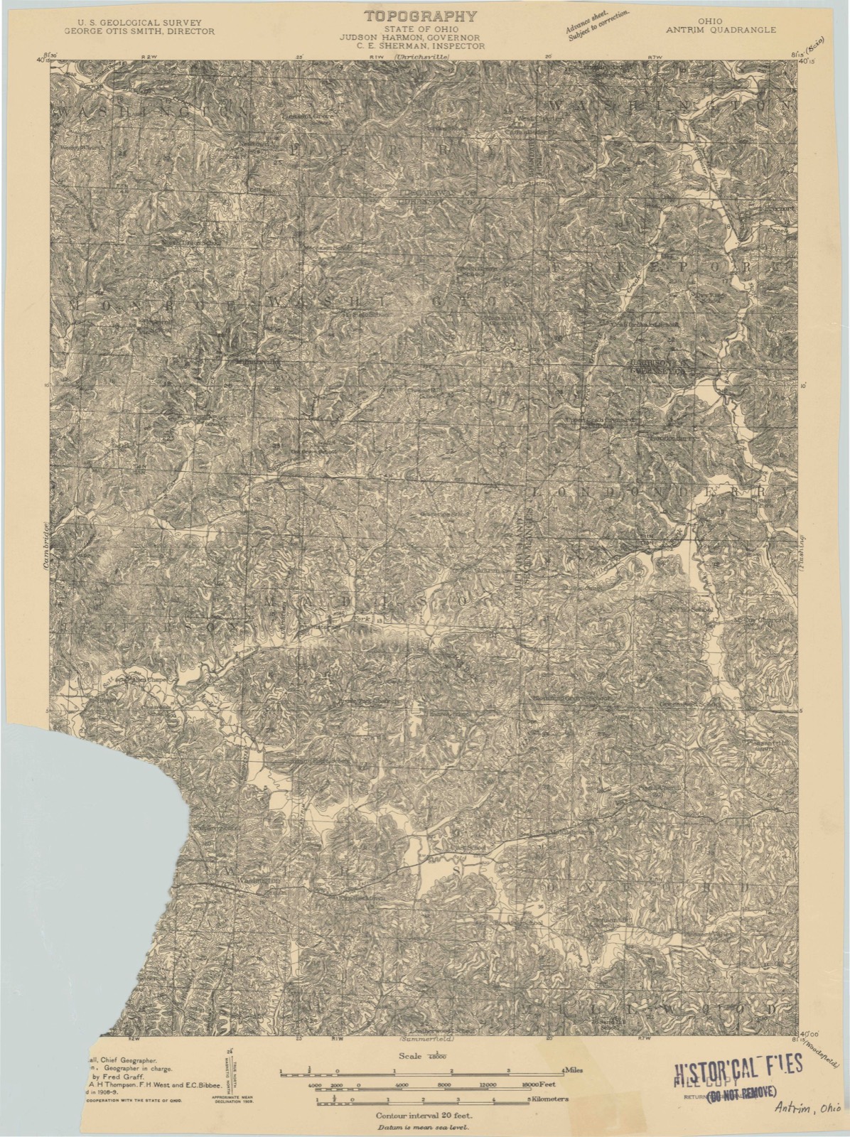
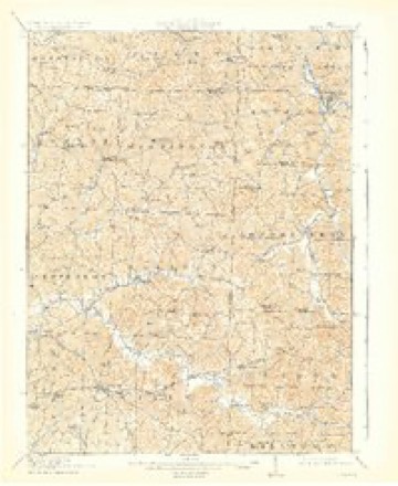
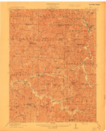
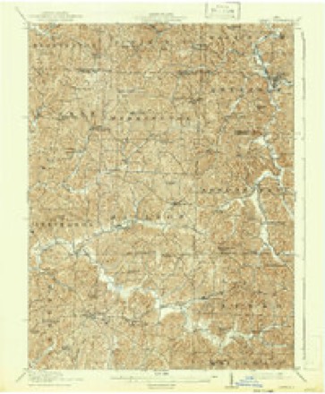
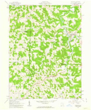
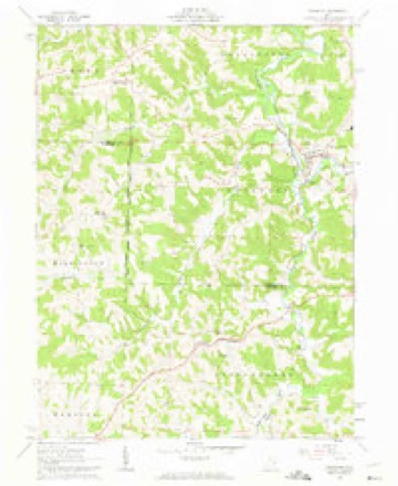
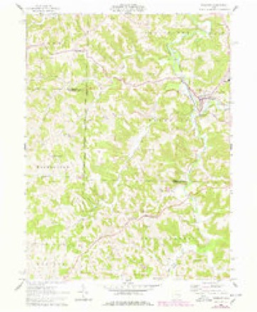
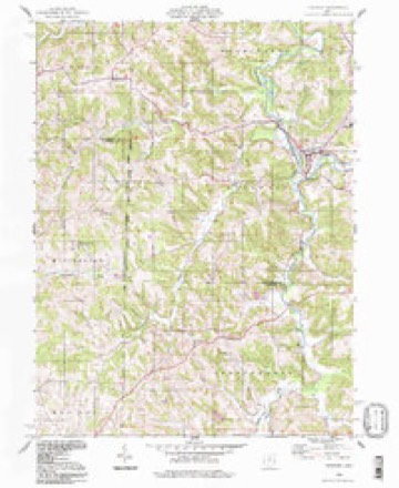
16 topographic sheets cover this place, the earliest surveyed in 1909 and the latest in 1994. It stands in Londonderry Township. It lies in ZIP code area 43973. The Survey maps it on the Freeport quadrangle.
Then and now
1909 to 1994The same ground, surveyed 85 years apart. Drag the handle to wipe between them. Both sheets are United States Geological Survey originals; neither has been altered.
Topographic sheets covering this place
16 sheetsMatched by testing this settlement's coordinate against the published boundary of every sheet in the United States Geological Survey's historical collection. Each opens the scanned sheet at the Survey.
- 1909 USGS Antrim quadrangle1:48000
- 1909 USGS Antrim quadrangle1:62500
- 1911 USGS Antrim quadrangle1:62500
- 1911 USGS Antrim quadrangle1:62500
- 1911 USGS Antrim quadrangle1:62500
- 1951 USGS Canton quadrangle1:250000
- 1953 USGS Canton quadrangle1:250000
- 1957 USGS Canton quadrangle1:250000
- 1957 USGS Canton quadrangle1:250000
- 1957 USGS Canton quadrangle1:250000
- 1961 USGS Freeport quadrangle1:24000
- 1961 USGS Freeport quadrangle1:24000
- 1961 USGS Freeport quadrangle1:24000
- 1962 USGS Canton quadrangle1:250000
- 1962 USGS Canton quadrangle1:250000
- 1994 USGS Freeport quadrangle1:24000







In the county-history sources
573 words on this townshipPortrait and Biographical Record of Guernsey County, Ohio, Containing Biographical Sketches of Prominent and Representative Citizens of the County, Together with Biographies and Portraits of All the Presidents of the United States, published 1895 names this settlement in its chapter on Londonderry Township. These are the passages that mention it, exactly as the scans read.
The original proprietor of the township was Robert Wilkin, who emigrated from the North of Ireland in 1807, and settled on the present site of the town. The town, however, was not laid out until in August, 1815, when fifty-six lots were surveyed, with a ten-rod square in the center, called the "Diamond," which is not visible at the present day. Many of the settlers followed Mr. Wilkin from the North of Ireland, and then the town was laid out. They called it Londonderry, in honor of or for some fancied resemblance to the city of that iifirae in the Old Country. The township, which was organized June 3, 1816, is included in one of the seven ranges of land to which the Indian titles were extinguished by the treaty of Ft. Stanwix. October 27, 1784, and when the land office was opened at Steuben ville. In 1801 the Government proceeded to open up these lands to entry and settlement. As emigrants from Pennsylvania, Maryland, Virginia, Ireland and Scotland were flocking into the country in great numbers, and as the roads were of primary necessity, one was located and blazed from Steubenvilie to Zane's Crossing, which, as we know, struck Zane's Trail at Cambridge, forming the route of what h.ns since become the Cambridge, Cadiz and Steubenvilie free turnpike.
Passage source: Portrait and Biographical Record of Guernsey County, Ohio, Containing Biographical Sketches of Prominent and Representative Citizens of the County, Together with Biographies and Portraits of All the Presidents of the United States, published 1895.
In 1801 Edward Carpenter, a son of John Carpenter, one of the pioneers who crossed the Ohio River in 1781 and built what was known as Carpenter's Fort, a short distance above where the town of Warrentou nowstands, took a contract for cutting out eighteen miles of this road, extending west from Big Stillwater to willun seven or eight miles of Cambridge, for which he received the sum of $300. The road, as then opened, passed through the present site of Londonderry, to which Mr. Carpenter afterward removed in 1807 and entered the northeast quarter of section 26, which is still owned by his son, Edward Carpenter, who was born in 1802, and was only five years of age when his father removed to the place, then an almost unbroken wilderness, abounding in wild game, especially deer, "bar," wolves and turkeys, which constituted their principal reliance for subsistence for some years afterward.
Passage source: Portrait and Biographical Record of Guernsey County, Ohio, Containing Biographical Sketches of Prominent and Representative Citizens of the County, Together with Biographies and Portraits of All the Presidents of the United States, published 1895.
The school facilities at that time were limited, hut about 1819 or 1820 they succeeded in emploj-- ing Robert Jamison, an Irish schoolmaster, who taught the first school ever opened in Londonderry, and to the support of which Mr. Carpenter paid $36 a quarter, and Mr. Wilkin and others no doubt were equally as liberal. The fact that the characteristics of tiie first settlers often remain impressed upon communities for years is strongly exemplified in the history of Londonderry, and the industrj', integritj', morality and rigid exnctness of the Irish and Scotch Presbyterians have exerted an influence that is yet apparent in that community, and has no doubt contributed much to the temporal prosperity and religious character of the people.
Passage source: Portrait and Biographical Record of Guernsey County, Ohio, Containing Biographical Sketches of Prominent and Representative Citizens of the County, Together with Biographies and Portraits of All the Presidents of the United States, published 1895.
Machine-read from a century-old scan, so expect the errors a machine makes: misspelled names, dropped words, stray characters.
Fires near this place
9 since 2009Regional context, not property-specific evidence. The federal wildfire occurrence database lists 9 fires within 5 miles of Londonderry between 2009 and 2019, burning about 14 acres in total. None started naturally. None was recorded as arson. Distance is straight-line from the map coordinates, so a fire counted here may appear on a neighbouring settlement's page as well.
| Reported cause | Fires |
|---|---|
| Debris and open burning | 8 |
| Missing data/not specified/undetermined | 1 |
The most recent of them, most recent first, with the day each was reported and the service that recorded it.
| Date | Cause | Size | Reported by | Name on the report |
|---|---|---|---|---|
| 26 September 2019 | Debris and open burning | under an acre | Ohio Department of Natural Resources | 15270 |
| 9 May 2019 | Debris and open burning | under an acre | Ohio Department of Natural Resources | 15193 |
| 9 April 2009 | Debris and open burning | under an acre | Ohio Department of Natural Resources | not named |
| 3 April 2013 | Missing data/not specified/undetermined | 4.0 acres | Ohio Department of Natural Resources | not named |
| 24 April 2009 | Debris and open burning | under an acre | Ohio Department of Natural Resources | not named |
| 10 April 2011 | Debris and open burning | under an acre | Ohio Department of Natural Resources | not named |
| 27 March 2019 | Debris and open burning | 5.5 acres | Ohio Department of Natural Resources | 15045 |
| 22 March 2014 | Debris and open burning | 1.0 acres | Ohio Department of Natural Resources | not named |
Settlements close enough to share some of these fires:
Specimens collected near this place
12 of 33 shownRegional context, not property-specific evidence. Museums hold 33 specimens collected within 10 miles of Londonderry between 1923 and 1974: 22 Animalia, 6 Plantae, 5 Fungi. 12 distinct Species records are shown. Collected by Adams, W.; Adams, S., Adams, William; Adams, Sue, Borror, K. G. (Kathy G.) and others. Each is a physical object with a catalogue number, and each entry opens the museum's record. This is what was collected and kept, not a survey of what lives here - nothing can be concluded from a species being absent.
| Image | Species | Year | Collected by | Where, as recorded |
|---|---|---|---|---|
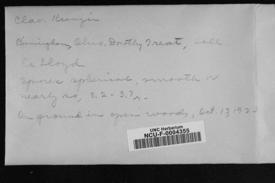 | Clavaria kunzei Fr. | 1923 | Treat, Dorothy | Birmingham |
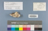 | Polyporus caesius (Schrad.) Fr. | 1923 | Nicholson Lawrence | Vermilion River, 1.5 Mi. S. of Birmingham, Erie Co. Frondose Woods along |
 | Stereum rameale (Pers.) Burt | 1923 | Grover F. O. | Vermilion River, 1.5 Mi. S. of Birmingham, Erie Co. in Woods along |
 | Campostoma anomalum (Rafinesque, 1820) | 1925 | CL & LC Hubbs | Trib to Salt Fork of Wills Creek, just above Middlebourne; Muskingum system |
 | Etheostoma nigrum Rafinesque, 1820 | 1925 | CL & LC Hubbs | Trib to Salt Fork of Wills Creek, just above Middlebourne; Muskingum system |
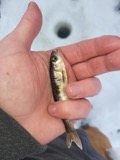 | Luxilus cornutus (Mitchill, 1817) | 1925 | CL & LC Hubbs | Trib to Salt Fork of Wills Creek, just above Middlebourne; Muskingum system |
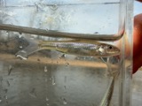 | Notropis buccatus (Cope, 1865) | 1925 | CL & LC Hubbs | Trib to Salt Fork of Wills Creek, just above Middlebourne; Muskingum system |
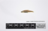 | Phoxinus erythrogaster (Rafinesque, 1820) | 1925 | CL & LC Hubbs | Trib to Salt Fork of Wills Creek, just above Middlebourne; Muskingum system |
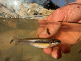 | Pimephales notatus (Rafinesque, 1820) | 1925 | CL & LC Hubbs | Trib to Salt Fork of Wills Creek, just above Middlebourne; Muskingum system |
 | Rhinichthys atratulus (Hermann, 1804) | 1925 | CL & LC Hubbs | Trib to Salt Fork of Wills Creek, just above Middlebourne; Muskingum system |
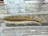 | Semotilus atromaculatus (Mitchill, 1818) | 1925 | CL & LC Hubbs | Trib to Salt Fork of Wills Creek, just above Middlebourne; Muskingum system |
 | Catostomus commersonii (Lacepède, 1803) | 1929 | Trautman, M. B. (Milton Bernard) & Walker, C. F. (Charles F.) | Salt Fork, within Oxford township, near Quaker City, Oxford township |
All 33 specimens within 10 miles, at the Global Biodiversity Information Facility.
Storms near this place
3 since 2013Regional context, not property-specific evidence. The National Weather Service names Londonderry in 3 storm reports between 2013 and 2019: 2 thunderstorm wind, 1 hail. No death or injury is recorded in these reports. Each account below is quoted exactly as the forecast office filed it, from the NOAA Storm Events Database, and each date opens the federal record of that event.
| When | Event | Place named | Harm | What the report says |
|---|---|---|---|---|
| July 2013 | Thunderstorm Wind | Londonderry | $20,000 | Law enforcement reported trees down. |
| March 2019 | Thunderstorm Wind | Londonderry | - | The Department of Highways reported trees down alongside US 22. |
| May 2016 | Hail | Londonderry | - | no account filed |
Nearest settlements
The eight closest, with where each one stands in the county. Distances are straight-line, computed from the Geographic Names Information System coordinates.
| Map | Place | Distance | Sheets |
|---|---|---|---|
| Antrim | 3.9 miles | 16 | |
| Oakgrove | 3.9 miles | 14 | |
| Winterset | 7.1 miles | 17 | |
| Birmingham | 7.4 miles | 17 | |
| Middlebourne | 7.4 miles | 16 | |
| Odell | 9.4 miles | 17 | |
| Elizabethtown | 9.9 miles | 17 | |
| Easton | 10.7 miles | 17 |
Provenance
This settlement is recorded in the Geographic Names Information System as feature 1065717. The sheet list is computed by point-in-boundary test against the United States Geological Survey's historical topographic inventory. Both are works of the United States government and carry no copyright under 17 U.S.C. 105.
Wildfire. Short, Karen C. 2022. Spatial wildfire occurrence data for the United States, 1992-2020 [FPA_FOD_20221014]. 6th Edition. Fort Collins, CO: Forest Service Research Data Archive. https://doi.org/10.2737/RDS-2013-0009.6 Collected with United States Government funding and usable without additional permissions or fees.
Specimens. Global Biodiversity Information Facility (GBIF), https://www.gbif.org/. Only records licensed CC0 or CC BY are used. Records licensed CC BY-NC are excluded because this site carries advertising. Images are checked individually and any whose licence is non-commercial, no-derivatives or unreadable is refused.
Storms. NOAA National Centers for Environmental Information, Storm Events Database https://www.ncei.noaa.gov/stormevents/ A work of the United States government, no copyright under 17 U.S.C. 105. Narratives are quoted verbatim from the National Weather Service report and are not edited or summarised.