 Block
Block
Lucas, Ohio
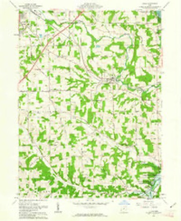
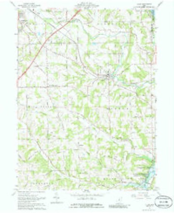
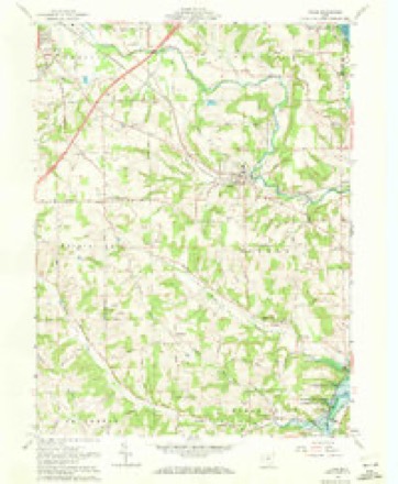
13 topographic sheets cover this place, the earliest surveyed in 1912 and the latest in 1994. It stands in Monroe Township. It lies in ZIP code area 44843. The Survey maps it on the Lucas quadrangle. 589 people lived here at the 2020 count. It stands 1,093 feet above sea level.
Population over time
2 figuresLucas fell from 615 to 589 between 2010 and 2020. These are the recorded population figures Wikidata holds for this place, reached through the Geographic Names Information System number this page is keyed on rather than by name, so they belong to this place and not to another of the same name. Most are census counts, but not all are: an early figure may be a founding or settlement estimate. The change column is computed, and is left blank where more than 20 years separate a figure from the one before it, because a gap that long is not a change between two counts.
| Year | People | Change |
|---|---|---|
| 2010 | 615 | |
| 2020 | 589 | -26 (-4%) |
Then and now
1912 to 1994The same ground, surveyed 82 years apart. Drag the handle to wipe between them. Both sheets are United States Geological Survey originals; neither has been altered.

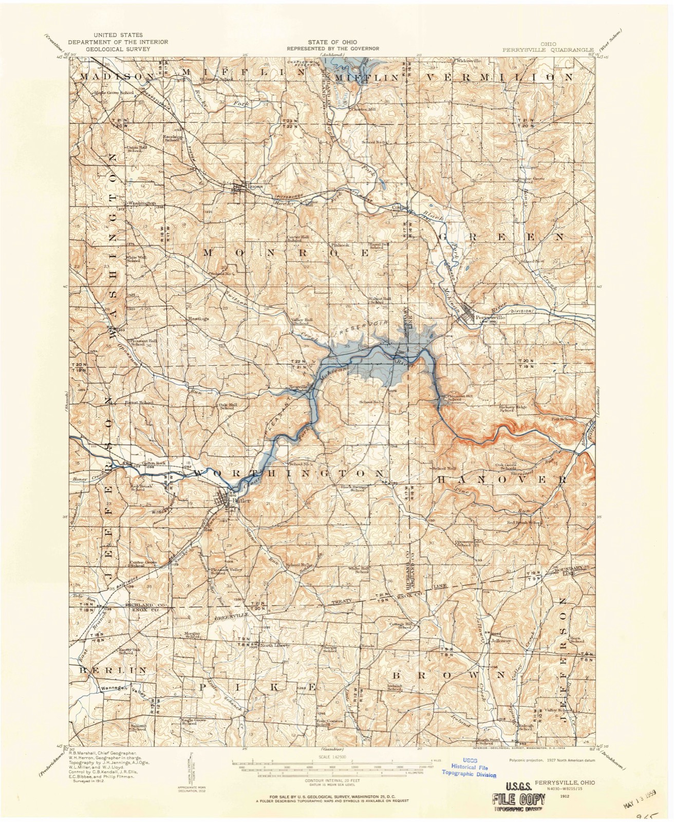
Topographic sheets covering this place
13 sheetsMatched by testing this settlement's coordinate against the published boundary of every sheet in the United States Geological Survey's historical collection. Each opens the scanned sheet at the Survey.
- 1912 USGS Perrysville quadrangle1:62500
- 1915 USGS Perrysville quadrangle1:62500
- 1944 USGS Perrysville quadrangle1:62500
- 1950 USGS Marion quadrangle1:250000
- 1961 USGS Lucas quadrangle1:24000
- 1961 USGS Lucas quadrangle1:24000
- 1961 USGS Lucas quadrangle1:24000
- 1962 USGS Marion quadrangle1:250000
- 1966 USGS Marion quadrangle1:250000
- 1966 USGS Marion quadrangle1:250000
- 1966 USGS Marion quadrangle1:250000
- 1986 USGS Mansfield quadrangle1:100000
- 1994 USGS Mansfield quadrangle1:100000







In the county-history sources
16,273 words on this townshipHistory of Richland County, Ohio : (including the Original Boundaries) ; Its Past and Present, Containing a Condensed Comprehensive History of Ohio, Including an Outline History of the Northwest, a Complete History of Richland County ... Miscellaneous Matter, Map of the County, Biographies and Histories of ... the Most Prominent Families, &c., &c., published 1880 names this settlement in its chapter on Monroe Township. These are the passages that mention it, exactly as the scans read.
The first settlers followed up the Black Fork in 1809. When they came to the junction of the Black Fork and Rocky Fork, some of them continued up the former and settled in Mifflin. Among the latter were the Copuses, the Zimmers, some of the Hills, Andrew Craig and others mentioned in the history of Mifflin. Others continued up the Rocky Fork, and settled first in the neighborhood of the present village of Lucas. Among these early settlers, David Hill has the honor of being the first, and of building the first cabin in Monroe Township. It was erected on the farm for many years occupied b}' John Swigart, adjoining the village of Lucas. The place is now
The first schoolhouse was located on the farm afterward owned by R. Oldfield, near Lucas ; now owned by Josiah Rummel. One of the earliest schoolhouses was located on Section 26. It was of hewed logs, covered with a clapboard roof, etc., as was usual in that day. Some of the teachers in this house were John Clark, John Tucker, William Wigton and Joseph Wolfe. This district embraced a large part of the township, children coming several miles through the woods to school. The same house was frequentl}' used for religious meetings, singing schools, etc. One of the first schools was also opened in the northern part of the township, near the Mount Zion Church. The school was first kept in private houses, and afterward in the log church.
One of the earliest schools was located on Michael Shinnebarger's land, and one also near what is now called the Hastings Post OflSce. This post office was established in 1829, being the first one established in the township. John Tucker was one of the early school teachers. He was a New Hampshire Yankee, and was one of Johmi}' Appleseed's converts, and also a doctor.
Machine-read from a century-old scan, so expect the errors a machine makes: misspelled names, dropped words, stray characters.
Read the whole chapter on Monroe Township - it names this place 17 more 17 times.
Fires near this place
5 since 2007Regional context, not property-specific evidence. The federal wildfire occurrence database lists 5 fires within 5 miles of Lucas between 2007 and 2018, burning about 3 acres in total. None started naturally. None was recorded as arson. Distance is straight-line from the map coordinates, so a fire counted here may appear on a neighbouring settlement's page as well.
| Reported cause | Fires |
|---|---|
| Debris and open burning | 4 |
| Recreation and ceremony | 1 |
The most recent of them, most recent first, with the day each was reported and the service that recorded it.
| Date | Cause | Size | Reported by | Name on the report |
|---|---|---|---|---|
| 16 June 2007 | Recreation and ceremony | 1.0 acres | Ohio Department of Natural Resources | not named |
| 7 April 2013 | Debris and open burning | under an acre | Ohio Department of Natural Resources | not named |
| 21 April 2007 | Debris and open burning | under an acre | Ohio Department of Natural Resources | not named |
| 5 March 2018 | Debris and open burning | 1.0 acres | Ohio Department of Natural Resources | 13546 |
| 19 January 2013 | Debris and open burning | under an acre | Ohio Department of Natural Resources | not named |
Settlements close enough to share some of these fires:
Specimens collected near this place
12 of 744 shownRegional context, not property-specific evidence. Museums hold 744 specimens collected within 10 miles of Lucas between 1835 and 1975: 486 Plantae, 249 Animalia, 9 Fungi. 12 distinct Species records are shown. Collected by A.M.H., Aknown, Berra, T. (Tim) and others. Each is a physical object with a catalogue number, and each entry opens the museum's record. This is what was collected and kept, not a survey of what lives here - nothing can be concluded from a species being absent.
| Image | Species | Year | Collected by | Where, as recorded |
|---|---|---|---|---|
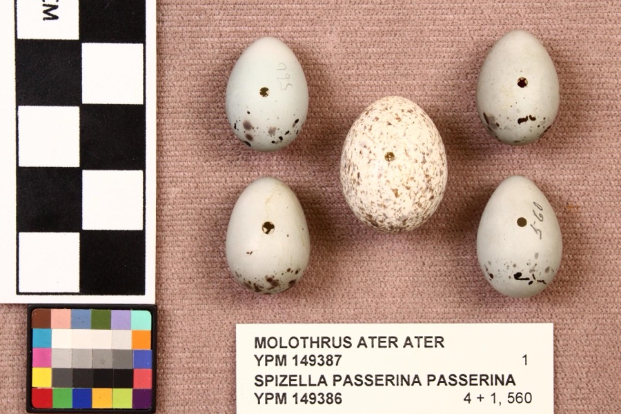 | Molothrus ater ater (Boddaert, 1783) | 1892 | not recorded | Mansfield |
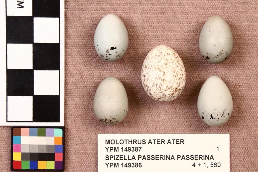 | Spizella passerina passerina (Bechstein, 1798) | 1892 | not recorded | Mansfield |
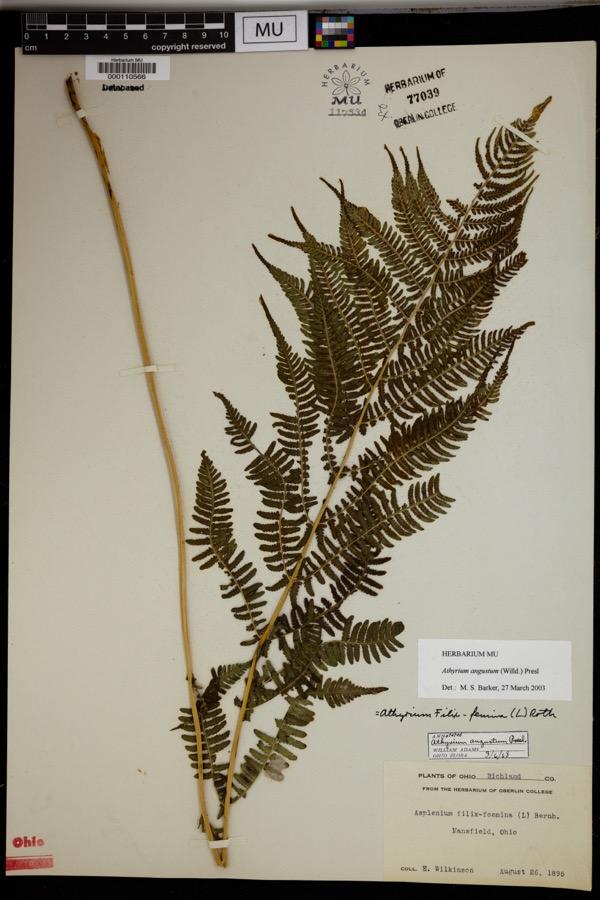 | Athyrium angustum (Willd.) C.Presl | 1895 | Wilkinson, E. | Mansfield. |
 | Alisma subcordatum Raf. | 1835 | Wilkinson, E. | Mansfield |
 | Carex scoparia Schkuhr ex Willd. | 1835 | Wilkinson, E. | Mansfield |
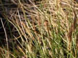 | Carex stricta Lam. | 1835 | Herb. of E. Wilkinson | Mansfield |
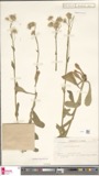 | Erigeron bellidifolius Muhl. ex Willd. | 1835 | Wilkinson,E. 5229 | [USA, Ohio] Mansfield, Ohio. |
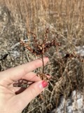 | Penthorum sedoides L. | 1835 | E. Wilkinson | Mansfield |
 | Verbascum thapsus L. | 1835 | Wilkinson, E. | Mansfield |
 | Achillea millefolium L. | 1836 | Wilkinson, E. | Mansfield |
 | Angelica atropurpurea L. | 1836 | Wilkinson, E. | Mansfield |
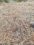 | Apocynum androsaemifolium L. | 1836 | Wilkinson, E. | Mansfield |
All 744 specimens within 10 miles, at the Global Biodiversity Information Facility.
Mines and quarries near this place
3 within 5 milesRegional context, not property-specific evidence. The federal mineral resources record lists 3 workings within 5 miles of Lucas: 1 plant, 1 past producer, 1 producer. 2 still produce. What was taken out: Sand and Gravel, Construction. Distance is straight-line from the map coordinates, so a quarry counted here may appear on a neighbouring settlement's page as well.
| Where | Site | Commodity | Status | Recorded |
|---|---|---|---|---|
| Lucas Pit | Sand and Gravel, Construction | Past Producer | Sedimentary | |
| Lucas Pit & Mill | Sand and Gravel, Construction | Plant | ||
| Weber Mine | Sand and Gravel, Construction | Producer |
Storms near this place
19 since 1994Regional context, not property-specific evidence. The National Weather Service names Lucas in 19 storm reports between 1994 and 2026: 12 thunderstorm wind, 6 hail, 1 flash flood. The reports record 1 injury. Each account below is quoted exactly as the forecast office filed it, from the NOAA Storm Events Database, and each date opens the federal record of that event.
| When | Event | Place named | Harm | What the report says |
|---|---|---|---|---|
| June 2019 | Flash Flood | Lucas | 1 hurt, $2,000 | Swift water lead to road closures in Lucas near Wallace Road and Mt. Zion Road due to flooding from the Black Fork. 2.19 inches of rain fell during the evening and overnight hours. Water rescue of a man in a wheelchair was washed off the street by rushing waters and into a residential backyard where he was trapped for several hours. |
| June 2017 | Thunderstorm Wind | Lucas | $25,000 | Thunderstorm winds toppled a large tree along State Route 39 near Lucas. The tree landed on an old barn causing extensive damage. |
| August 2017 | Thunderstorm Wind | Lucas | $25,000 | Thunderstorm winds downed some trees and power lines in the Lucas area. |
| June 2018 | Thunderstorm Wind | Lucas | $5,000 | Thunderstorm wind gusts downed at least three trees in the Lucas area. At least one of them blocked a road. |
| May 2002 | Hail | Lucas | $5,000 | Dime size hail was observed. |
| June 1994 | Thunderstorm Wind | Lucas | $5,000 | Trees and limbs down, some on power lines. |
| September 2007 | Thunderstorm Wind | Lucas | $4,000 | A few trees were reported down. |
| June 2008 | Thunderstorm Wind | Lucas | $2,000 | Several large limbs were reported down. |
| May 2006 | Thunderstorm Wind | Lucas | $2,000 | Two trees were reported down near Lucas and just to the southeast near Pleasant Hill Lake. |
| June 2002 | Hail | Lucas | $2,000 | Dime size hail was observed. |
| July 2019 | Thunderstorm Wind | Lucas | $1,000 | At least one tree was blown down on a power line. |
| March 2026 | Thunderstorm Wind | Lucas | - | Tree downed in Lucas. |
| July 2023 | Thunderstorm Wind | Lucas | - | Several trees downed about three-miles SSW of Lucas. |
| June 2017 | Thunderstorm Wind | Lucas | - | Thunderstorm winds downed two trees in the Lucas area. |
| June 2007 | Hail | Lucas | - | Penny size hail was observed. |
| April 2006 | Thunderstorm Wind | Lucas | - | Several large limbs were reported down in a roadway. |
| April 2006 | Hail | Lucas | - | Penny size hail was observed. |
| July 2006 | Hail | Lucas | - | Penny size hail was observed. |
| July 2006 | Hail | Lucas | - | Penny size hail was observed. |
Nearest settlements
The eight closest, with where each one stands in the county. Distances are straight-line, computed from the Geographic Names Information System coordinates.
| Map | Place | Distance | Sheets |
|---|---|---|---|
| Culler Mill | 1.6 miles | 13 | |
| Pinhook | 2.6 miles | 13 | |
| Crimson | 2.8 miles | 13 | |
| Little Washington | 3.0 miles | 13 | |
| Melco | 3.2 miles | 13 | |
| Cesarea | 3.4 miles | 13 | |
| West Shore Cottage Area | 3.6 miles | 13 | |
| Hastings | 3.7 miles | 13 |
Elsewhere
Matched on this settlement's Geographic Names Information System number rather than its name, so it cannot be a different place of the same name in another state.
| Wikipedia article on Lucas | An encyclopaedic summary. Its text is share-alike, so it is linked here rather than copied. |
| Wikidata item Q2551684 | The structured record the population and elevation above come from. Public domain (CC0). |
Provenance
This settlement is recorded in the Geographic Names Information System as feature 1048396. The sheet list is computed by point-in-boundary test against the United States Geological Survey's historical topographic inventory. Both are works of the United States government and carry no copyright under 17 U.S.C. 105.
Wildfire. Short, Karen C. 2022. Spatial wildfire occurrence data for the United States, 1992-2020 [FPA_FOD_20221014]. 6th Edition. Fort Collins, CO: Forest Service Research Data Archive. https://doi.org/10.2737/RDS-2013-0009.6 Collected with United States Government funding and usable without additional permissions or fees.
Specimens. Global Biodiversity Information Facility (GBIF), https://www.gbif.org/. Only records licensed CC0 or CC BY are used. Records licensed CC BY-NC are excluded because this site carries advertising. Images are checked individually and any whose licence is non-commercial, no-derivatives or unreadable is refused.
Mines and quarries. USGS Mineral Resources Data System (MRDS) https://mrdata.usgs.gov/mrds/ A work of the United States government, no copyright under 17 U.S.C. 105.
Storms. NOAA National Centers for Environmental Information, Storm Events Database https://www.ncei.noaa.gov/stormevents/ A work of the United States government, no copyright under 17 U.S.C. 105. Narratives are quoted verbatim from the National Weather Service report and are not edited or summarised.