BlockBefore
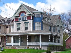
Decorative drawing: a county panorama. Not a photograph of this place.

Richland County, Ohio

62 topographic sheets and 29 fire insurance atlases across 4 places.

Research this county

This curated hub for Richland County, Ohio brings together the page's documented record links, visible map or image evidence where published, and routes to related local records.

What is documented here?

Use the page's provenance and linked records to distinguish the source material from the site's navigation and summaries.

How should I cite it?

Open the original record, preserve its repository and identifier, then use the citation tool for this page as a path back to the source.

Where should I go next?

Follow the county or state hub for related places and records, then use the guide for a source-aware research sequence.

From the record

61 National Register listings · 68 businesses named in the fire insurance atlases from 1887 to 1950 · the 1880 county history tells 1 stories and names 52 people · people the book names include St. .James Hotel (Jefferson Township, 1880) · Charles Augustine (Plymouth Township, 1908) (machine-read).

Sources: the county history on the Internet Archive · the National Register database, National Park Service

Ohio within the United States
Richland County within Ohio
Explore by year 1855 1950

What the record shows

  • 4 places in this county were surveyed for fire insurance: Mansfield, Shelby, Bellville, Butler, between 1885 and 1950.
  • 29 fire insurance atlas(es) survive for the county. Topographic coverage is national; fire insurance survey reached only incorporated places with something worth insuring.
  • 856 topographic sheet readings cover the county's settlements.
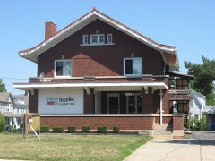
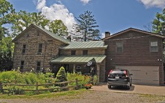
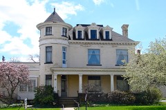
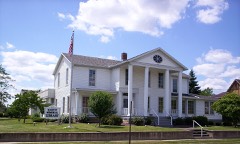
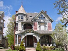
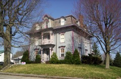
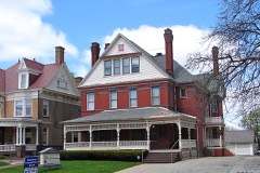
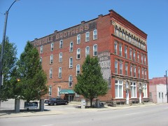
  • 61 properties here are on the National Register of Historic Places, including 23 houses and farms.
  • 10 of the 61 listings were added during the 1970s.
  • The Geographic Names Information System records 63 populated places in this county; 0 are covered by at least one topographic sheet.
  • 5 public-domain county histories, 1880 to 1925, supply 371,964 words of narrative reproduced here in full.

What happened here

1 accounts

A captivity, a drowning, a famine, a man scalped clearing his lot in 1789. These are passages from History of Richland County, Ohio : (including the Original Boundaries) ; Its Past and Present, Containing a Condensed Comprehensive History of Ohio, Including an Outline History of the Northwest, a Complete History of Richland County ... Miscellaneous Matter, Map of the County, Biographies and Histories of ... the Most Prominent Families, &c., &c., written while people who remembered the events were still alive, and each one opens the section it comes from.

1880, Worthington Township

History

coarse features, high cheek-bones and large protruding lips, so much so, indeed. that. when ornamented with a miniature silver clevis and double-tree in each ear, and one in his nose. and smoking from the bow] and through the handle of his iron tomahawk, he presented rather a grotesque appearance. He was, in a word, regarded by the whites as extremely homely and repulsive.

Read the rest of this passage

Photographs

41 photographs, 1943 to 2016

Taken for the Office of War Information and the Farm Security Administration, who photographed the country between 1935 and 1944. Works of United States government photographers, with no known restriction on use. Each opens its catalogue record.

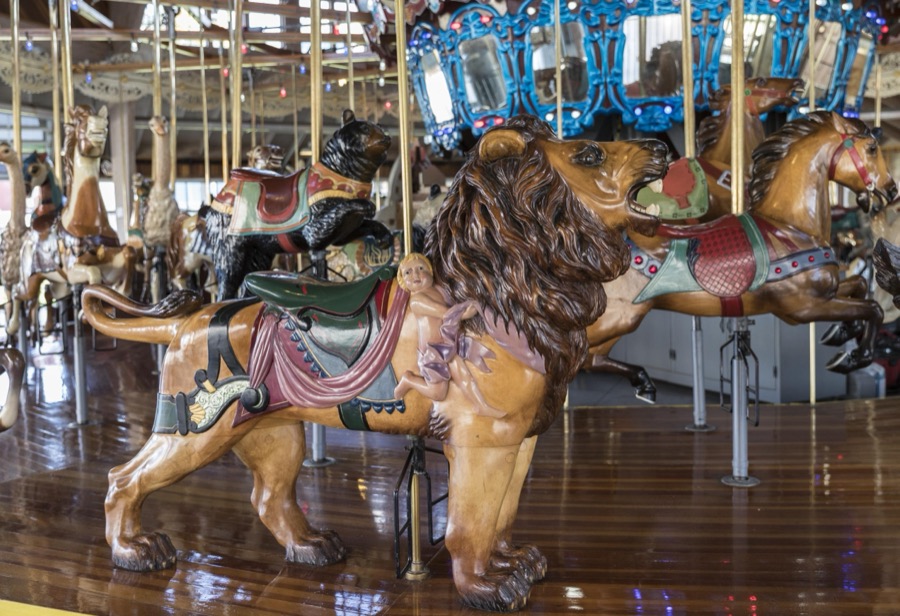
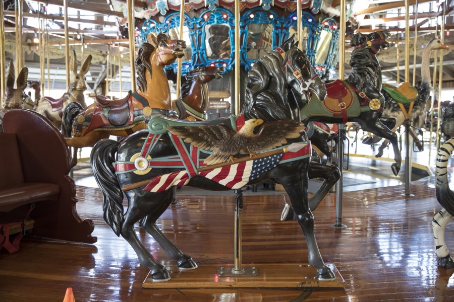
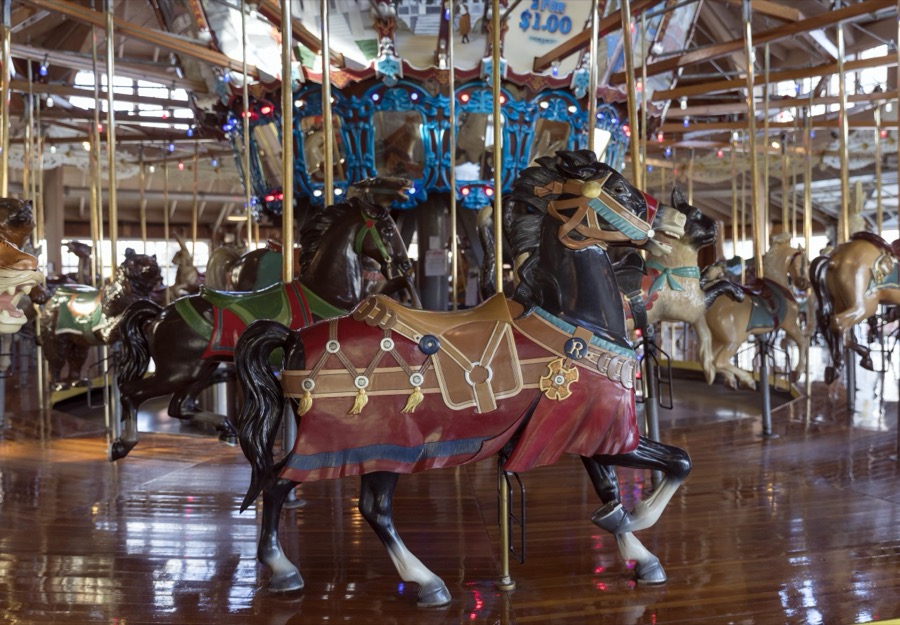
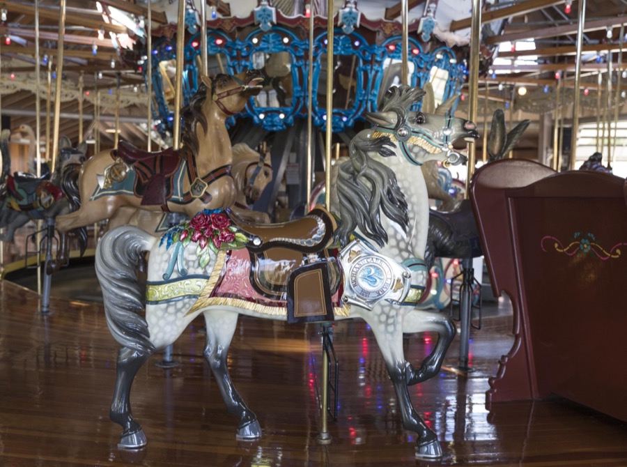
The carousel, or merry-go-round, at Richland Carrousel Park opened in 1991 in downtown Mansfield, Ohio
Highsmith, Carol M, 2016. Library of Congress
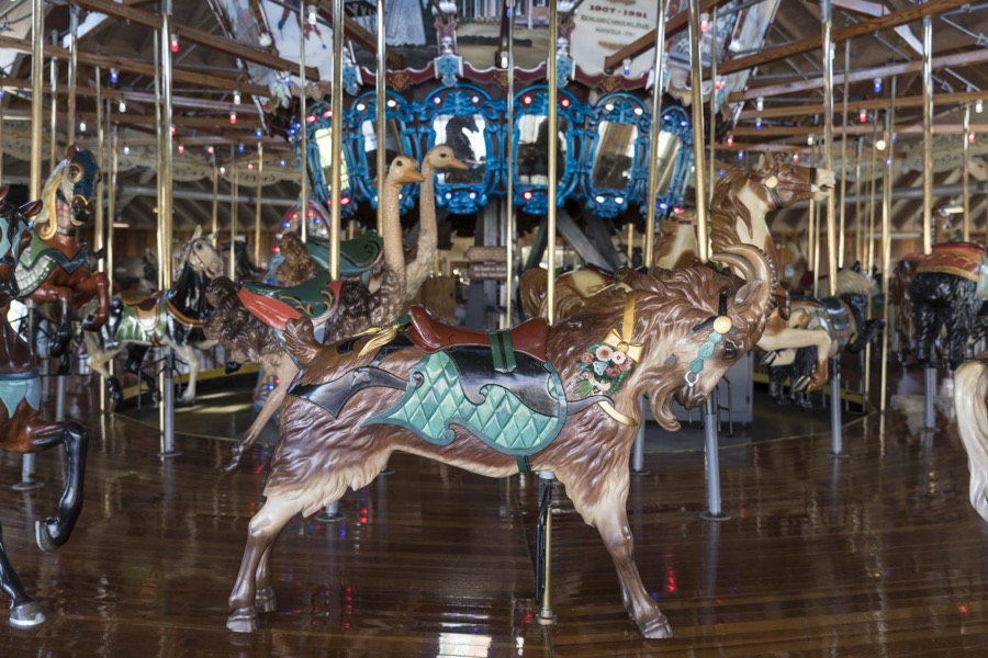
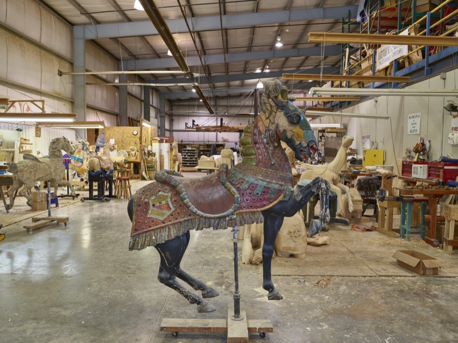
In Mansfield, Ohio, a beautiful "show pony" of the carnival kind awaits shipment at the Carousel Works, the world's largest maker of carousels, sometimes called "merry-go-rounds"
Highsmith, Carol M, 2016. Library of Congress
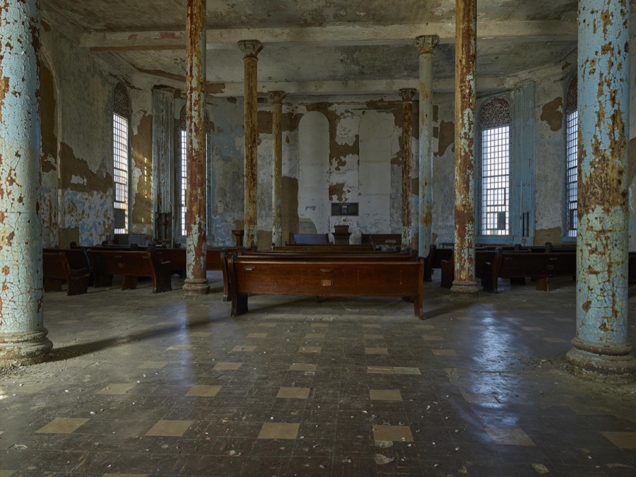
The old chapel inside the old Ohio State Reformatory, built in stages between 1886 and 1910 in Mansfield, Ohio
Highsmith, Carol M, 2016. Library of Congress
The carousel, or merry-go-round, at Richland Carrousel Park opened in 1991 in downtown Mansfield, Ohio
Highsmith, Carol M, 2016. Library of Congress
The carousel, or merry-go-round, at Richland Carrousel Park opened in 1991 in downtown Mansfield, Ohio
Highsmith, Carol M, 2016. Library of Congress
In Mansfield, Ohio, a beautiful "show pony" of the carnival kind awaits shipment at the Carousel Works, the world's largest maker of carousels, sometimes called "merry-go-rounds"
Highsmith, Carol M, 2016. Library of Congress
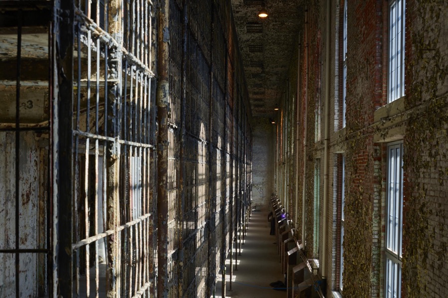
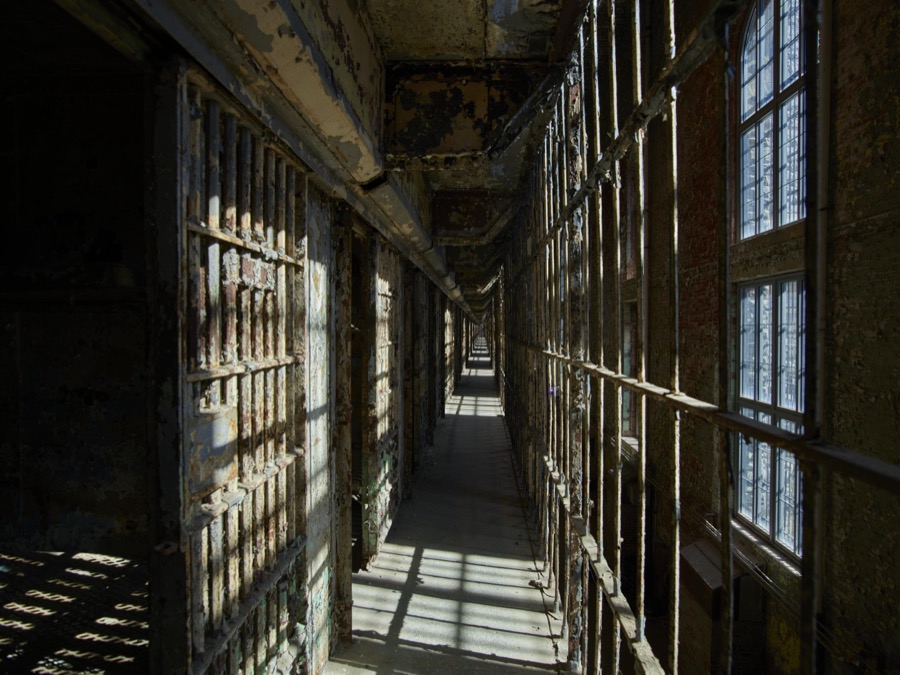
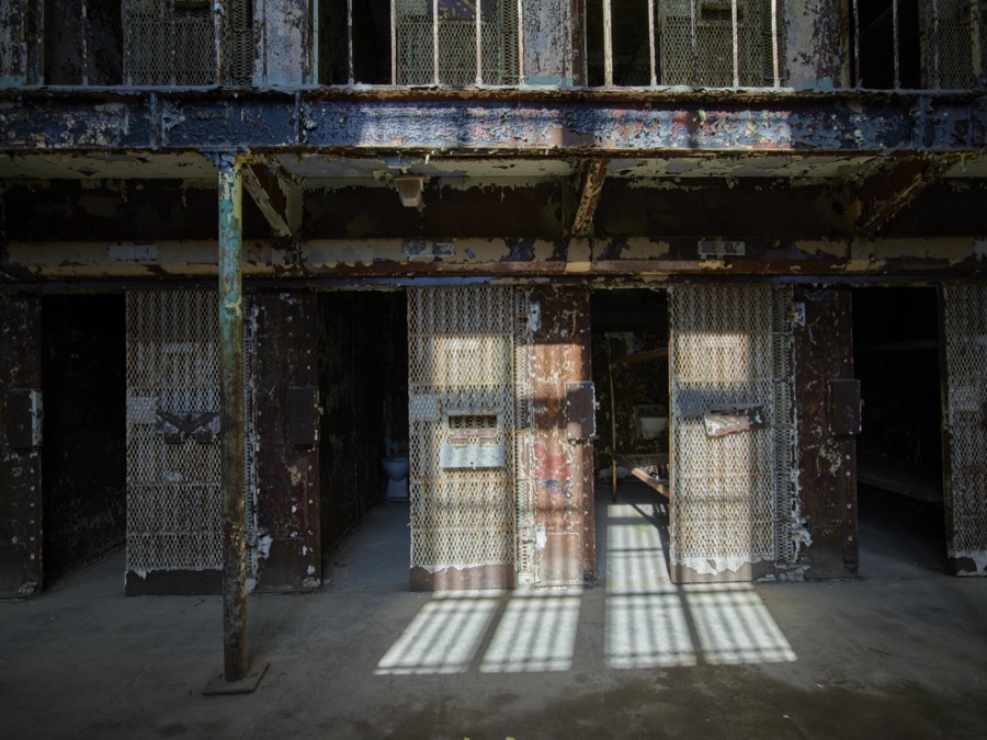
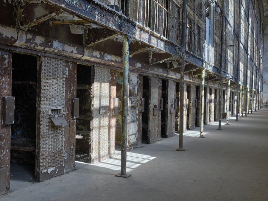
A cellblock at the old Ohio State Reformatory, built in stages between 1886 and 1910 in Mansfield, Ohio

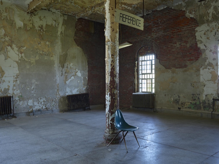
Highsmith, Carol M, 2016. Library of Congress
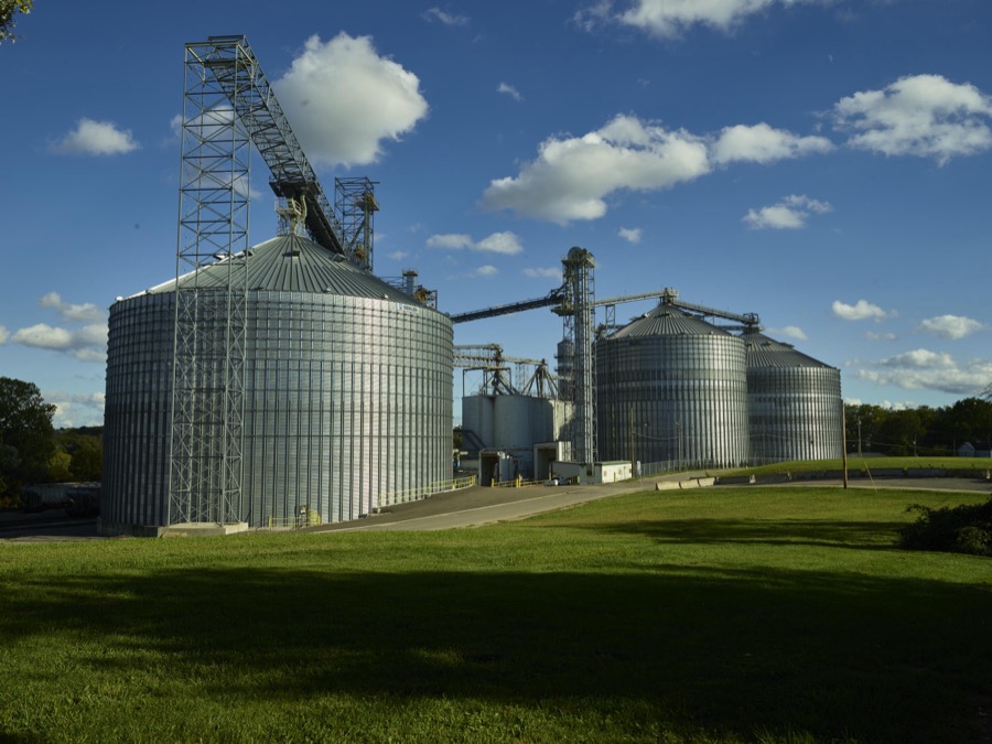
Massive steel grain silos in Mansfield, Ohio
Highsmith, Carol M, 2016. Library of Congress
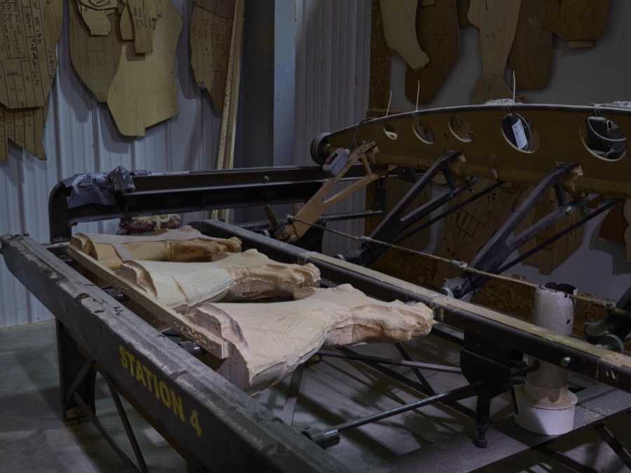
In Mansfield, Ohio, a frame used in crafting carousel horses stands at the ready at the Carousel Works, the world's largest maker of carousels, sometimes called "merry-go-rounds"
Highsmith, Carol M, 2016. Library of Congress
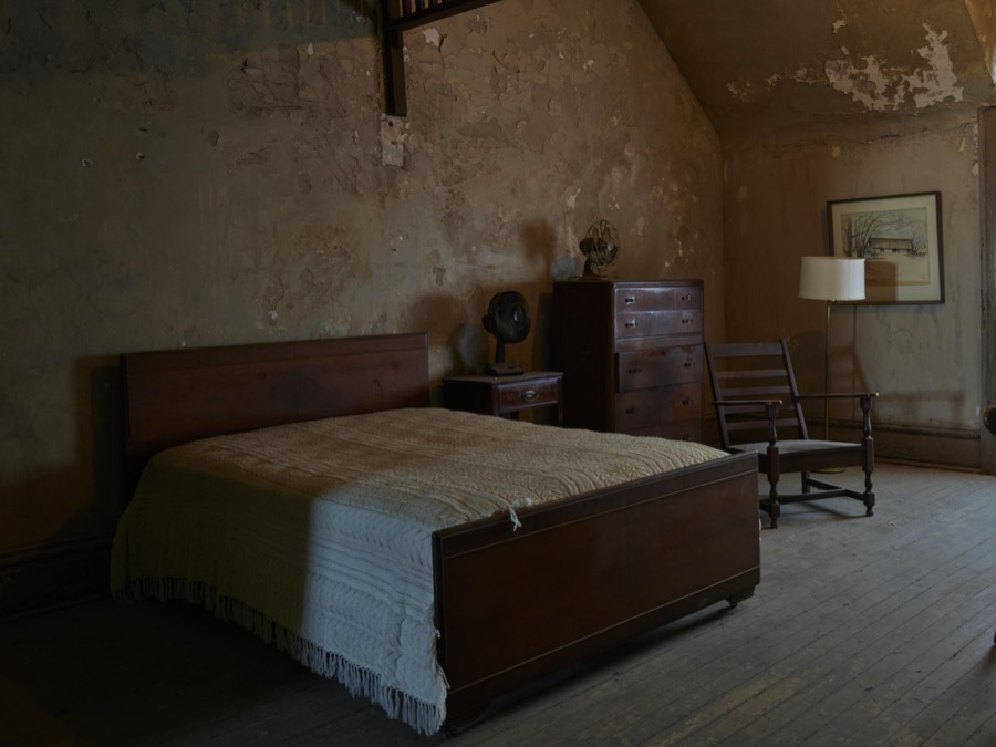
A room inside the old Ohio State Reformatory that was redecorated for the movie "The Shawshank Redemption," filmed there in Mansfield, Ohio
Highsmith, Carol M, 2016. Library of Congress
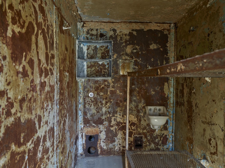
What's left of a cell at the old Ohio State Reformatory, built in stages between 1886 and 1910 in Mansfield, Ohio
Highsmith, Carol M, 2016. Library of Congress
A cellblock at the old Ohio State Reformatory, built in stages between 1886 and 1910 in Mansfield, Ohio

Highsmith, Carol M, 2016. Library of Congress
In Mansfield, Ohio artisan Tim Gorka chisels a detail on a wooden horse at the Carousel Works, the world's largest maker of carousels, sometimes called "merry-go-rounds"
Highsmith, Carol M, 2016. Library of Congress
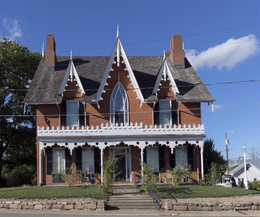
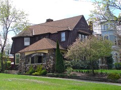
Oak Hill Cottage, a house of seven gables (but not the one about which Nathaniel Hawthorne famously wrote) was built in Mansfield, Ohio, by a prominent physician, Johannes Aten Jones in 1847 and remained in his family for 101 years
Highsmith, Carol M, 2016. Library of Congress
Entry area at the old Ohio State Reformatory, built in stages between 1886 and 1910 in Mansfield, Ohio
Highsmith, Carol M, 2016. Library of Congress
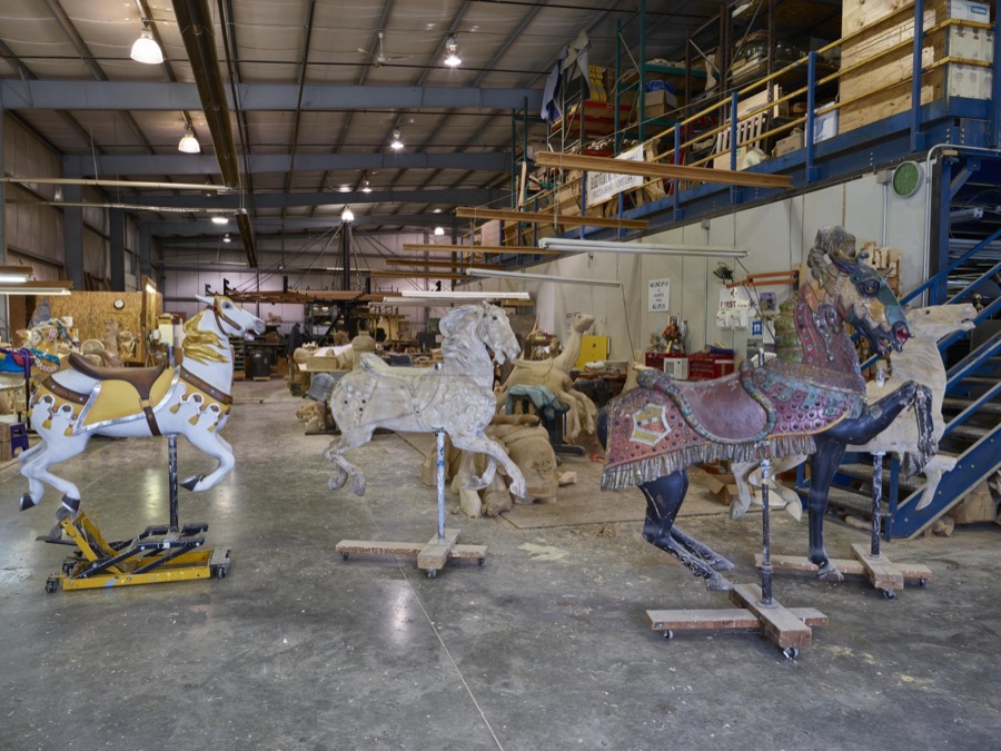
In Mansfield, Ohio, works in progress await completion at the Carousel Works, the world's largest maker of carousels, sometimes called "merry-go-rounds"
Highsmith, Carol M, 2016. Library of Congress
In Mansfield, Ohio, works in progress await completion at the Carousel Works, the world's largest maker of carousels, sometimes called "merry-go-rounds"
Highsmith, Carol M, 2016. Library of Congress
The carousel, or merry-go-round, at Richland Carrousel Park opened in 1991 in downtown Mansfield, Ohio
Highsmith, Carol M, 2016. Library of Congress
A cellblock at the old Ohio State Reformatory, built in stages between 1886 and 1910 in Mansfield, Ohio
Highsmith, Carol M, 2016. Library of Congress
In Mansfield, Ohio, recent creations await shipment at the Carousel Works, the world's largest maker of carousels, sometimes called "merry-go-rounds"
Highsmith, Carol M, 2016. Library of Congress
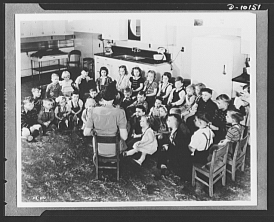
Children are taught good eating habits at nursery established by the Health for Victory Club in a new project of the club's nutrition program at the Westinghouse Electric & Manufacturing Company, at Mansfield, Ohio. Under the direction of a paid kindergarten teacher, the children are taught fundamentals of food and health, while their mothers, who are wives of war workers at the plant, study new points of nutrition under war-time conditions. The Health for Victory Club at the Mansfield plant has developed a program of safeguarding workers' health by buying and serving the foods that make up well-balanced meals that is now used by 640 war plants throughout the country. The Mansfield plant has a labor-management committee formed by representatives of the management and the United Electrical and Radio Machine Workers of America
Rosener, Ann, photographer, 1943. Library of Congress
In Mansfield, Ohio, a beautiful, ridable hummingbird awaits shipment at the Carousel Works, the world's largest maker of carousels, sometimes called "merry-go-rounds"
Highsmith, Carol M, 2016. Library of Congress
The carousel, or merry-go-round, at Richland Carrousel Park opened in 1991 in downtown Mansfield, Ohio
Highsmith, Carol M, 2016. Library of Congress
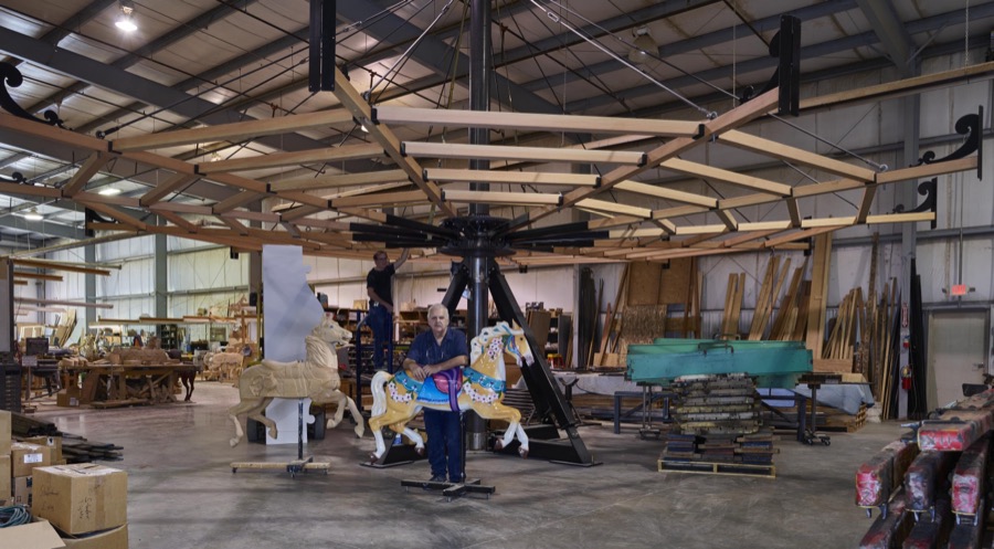
In Mansfield, Ohio, artisan Tim Gorka (on the ladder) and co-owner Art Ritchie stand beneath the ribs of a carousel under construction at the Carousel Works, the world's largest maker of carousels, sometimes called "merry-go-rounds"
Highsmith, Carol M, 2016. Library of Congress
The carousel, or merry-go-round, at Richland Carrousel Park opened in 1991 in downtown Mansfield, Ohio
Highsmith, Carol M, 2016. Library of Congress
A cellblock at the old Ohio State Reformatory, built in stages between 1886 and 1910 in Mansfield, Ohio
Highsmith, Carol M, 2016. Library of Congress
In Mansfield, Ohio, a beautiful "show pony" of the carnival kind awaits shipment at the Carousel Works, the world's largest maker of carousels, sometimes called "merry-go-rounds"
Highsmith, Carol M, 2016. Library of Congress
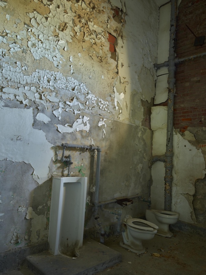
Urinal and toilets at the old Ohio State Reformatory, built in stages between 1886 and 1910 in Mansfield, Ohio
Highsmith, Carol M, 2016. Library of Congress
The carousel, or merry-go-round, at Richland Carrousel Park opened in 1991 in downtown Mansfield, Ohio
Highsmith, Carol M, 2016. Library of Congress
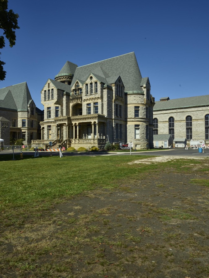
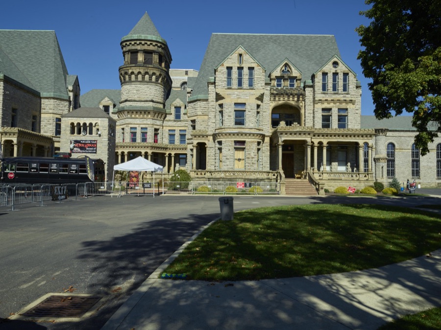
The old Ohio State Reformatory, built in stages between 1886 and 1910 in Mansfield, Ohio
Highsmith, Carol M, 2016. Library of Congress
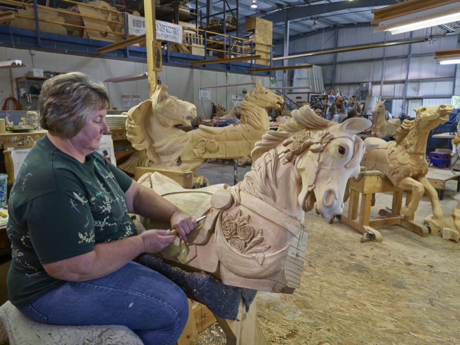
In Mansfield, Ohio, artisan Donna Grantham chisels a detail on a wooden horse at the Carousel Works, the world's largest maker of carousels, sometimes called "merry-go-rounds"
Highsmith, Carol M, 2016. Library of Congress
The carousel, or merry-go-round, at Richland Carrousel Park opened in 1991 in downtown Mansfield, Ohio
Highsmith, Carol M, 2016. Library of Congress
The old Ohio State Reformatory, built in stages between 1886 and 1910 in Mansfield, Ohio
Highsmith, Carol M, 2016. Library of Congress
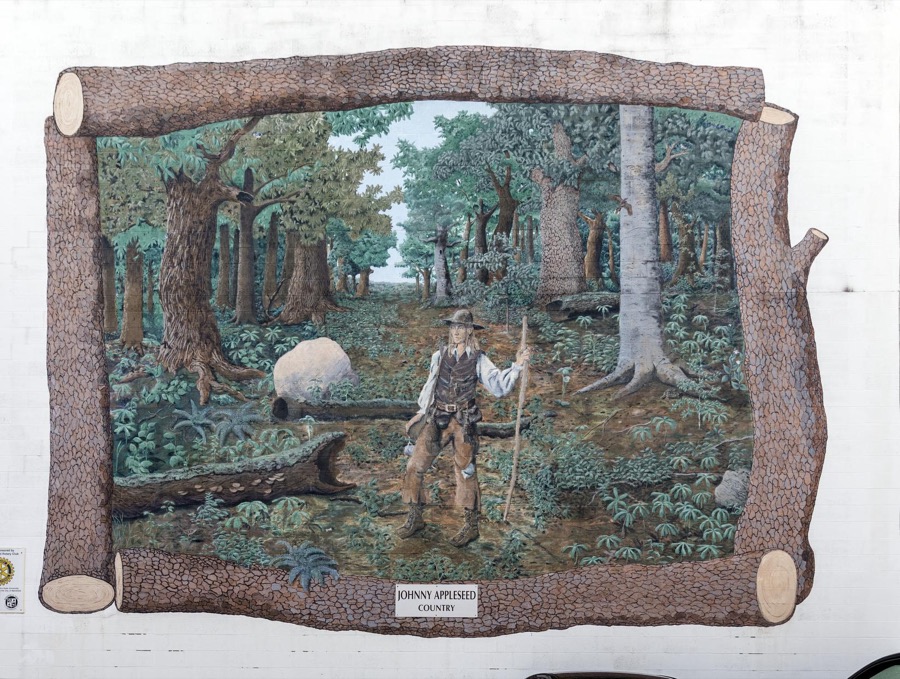
A mural saluting the actual, and especially folklore, figure Johnny Appleseed in downtown Mansfield, Ohio
Highsmith, Carol M, 2016. Library of Congress
The carousel, or merry-go-round, at Richland Carrousel Park opened in 1991 in downtown Mansfield, Ohio
Highsmith, Carol M, 2016. Library of Congress
In Mansfield, Ohio, co-owner Marilyn Ritchie applies finishing touches to a beautiful carousel horse at the Carousel Works, the world's largest maker of carousels, sometimes called "merry-go-rounds"
Highsmith, Carol M, 2016. Library of Congress
A corner of the onetime library inside the old Ohio State Reformatory, built in stages between 1886 and 1910 in Mansfield, Ohio
Highsmith, Carol M, 2016. Library of Congress
The carousel, or merry-go-round, at Richland Carrousel Park opened in 1991 in downtown Mansfield, Ohio
Highsmith, Carol M, 2016. Library of Congress
In Mansfield, Ohio, beautiful "show ponies" of the carnival kind await shipment at the Carousel Works, the world's largest maker of carousels, sometimes called "merry-go-rounds"
Highsmith, Carol M, 2016. Library of Congress
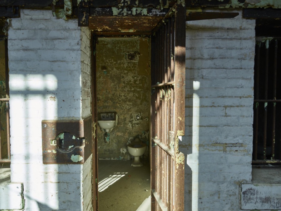
Cell and crude "bathroom" fixtures inside the old Ohio State Reformatory, built in stages between 1886 and 1910 in Mansfield, Ohio
Highsmith, Carol M, 2016. Library of Congress
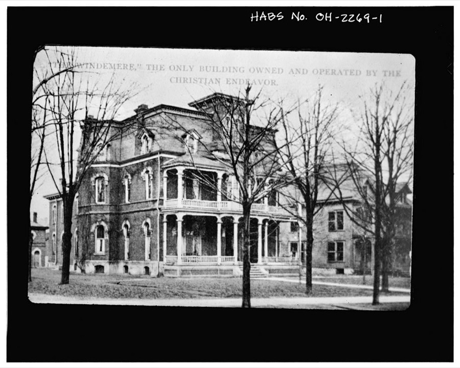
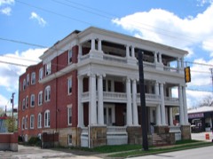
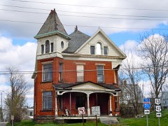
Dimon Sturges House, 114 Park Avenue West, Mansfield, Richland County, OH
Unattributed, . Library of Congress

Places on the National Register

61

Every property in this county listed on the National Register of Historic Places, with the year it was listed and the federal nomination document.

Photograph PropertyType ListedReference
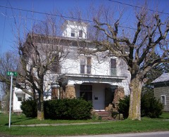
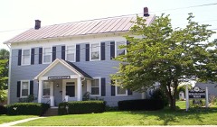
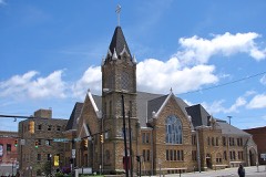
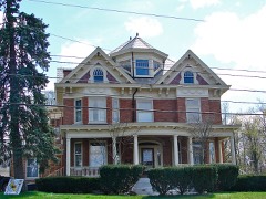
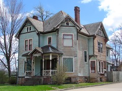
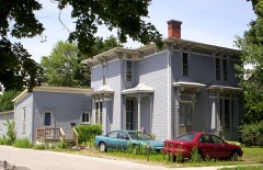
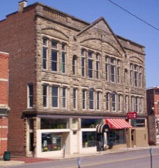
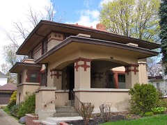
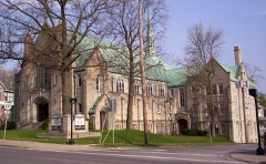
All Souls Unitarian-Universalist Churchbuilding197676001520
Barr, Jacob H., Housebuilding198383002023
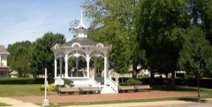
Bellville Bandstandstructure197373001519
Bellville Cemetery Chapelbuilding201010000457
Bellville Village Hallbuilding197676001521
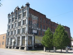
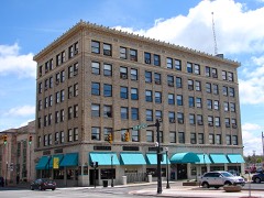
Bissman Blockbuilding198686002882
Bissman, B.F., Housebuilding198383002024
Bissman, Peter, Housebuilding198383002025
Building at 240 Park Avenue Westbuilding198383002026
Building at 252-254 Park Avenue Westbuilding198484003802
Building at 309 Park Avenue Westbuilding198484003801
Building at 415 Park Avenue Westbuilding198484003799
Bushnell, Martin, Housebuilding197474001609
Central United Methodist Churchbuilding198383002027
City Mills Buildingbuilding198686003500
Colonial, Thebuilding198383002028
Cook, J.M., Housebuilding198383002029
Douglas, S.M., Housebuilding198383002030
Dow Housebuilding198383002031
Ferrell, Silas, Housebuilding198787002146
First Congregational Church And Lexington Schoolbuilding197979001929
First English Lutheran Churchbuilding198383002032
Fraser Housebuilding198383002033
Gilbert, F.A., Housebuilding198484003800
Gurney-Kochheiser Housebuilding197676001522
Hancock and Dow Buildingbuilding198786002864
Kern, Rufus A., Housebuilding198383002034
Krause, John, Housebuilding198383002035
Lewis, Samuel, Housebuilding198282003636
Mansfield Savings Bankbuilding198686002872
Mansfield Woman's Clubbuilding198383002037
Mansfield, Judge, Housebuilding198383002036
Marvin Memorial Librarybuilding198786003493
May Realty Buildingbuilding198686002865
Mechanics Building and Loan Companybuilding198383002038
Most Pure Heart Of Mary Churchbuilding197878002179
Oak Hill Cottagebuilding196969000149
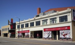
Ohio Theatrebuilding198383002040
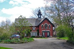
Old Carriage Barnbuilding198383002041
Pacific Curios Antiquesbuilding198383002042
Park Avenue Baptist Churchbuilding198383002043
Plymouth Greenlawn Cemetery Chapelbuilding199696000116
Richland Trust Buildingbuilding198383002044
Ritter, William, Housebuilding197878002178
Rummell Millbuilding198282003635
Sacred Heart of Jesus Churchesbuilding198686000035
Sandiford, Robert, Housebuilding198383002045
Shambaugh, George, Housebuilding198282003637
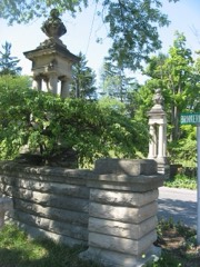
Sherman, John, Memorial Gatewaystructure198383002046
Soldiers and Sailors Memorial Building and Madison Theaterbuilding198080003214
Springfield Township Schoolbuilding200303000325
St. Peters Churchbuilding197979001930
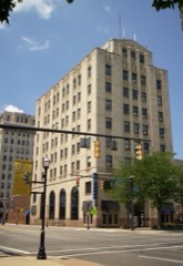
Stewart Towersbuilding198383002048
Sturges, Susan, Housebuilding198383002049
Tappan Housebuilding198383002050
Tubbs--Sourwine Housebuilding199999000094
Upson Housebuilding198383002051
Voegele Buildingbuilding200099001687
Ward, W. S., Housebuilding198383002052

Covered bridges

0

Richland County holds 0 covered bridges on the National Register, more than any other property type here. Each is a listed structure with a federal nomination on file.

Bird's-eye views and land ownership maps

7

Drawn when these were printed as single large sheets: the town seen from the air, and the county divided into its farms with every owner named. Each opens the original at the Library of Congress.

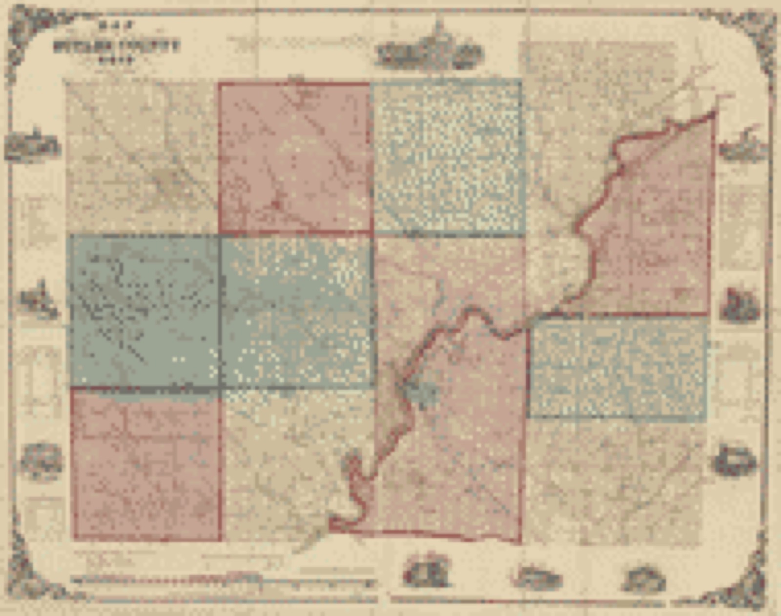
Land ownership map, 1855 - Map of Butler County, Ohio
Land ownership map (1855) - Map of Butler County, Ohio. Library of Congress.
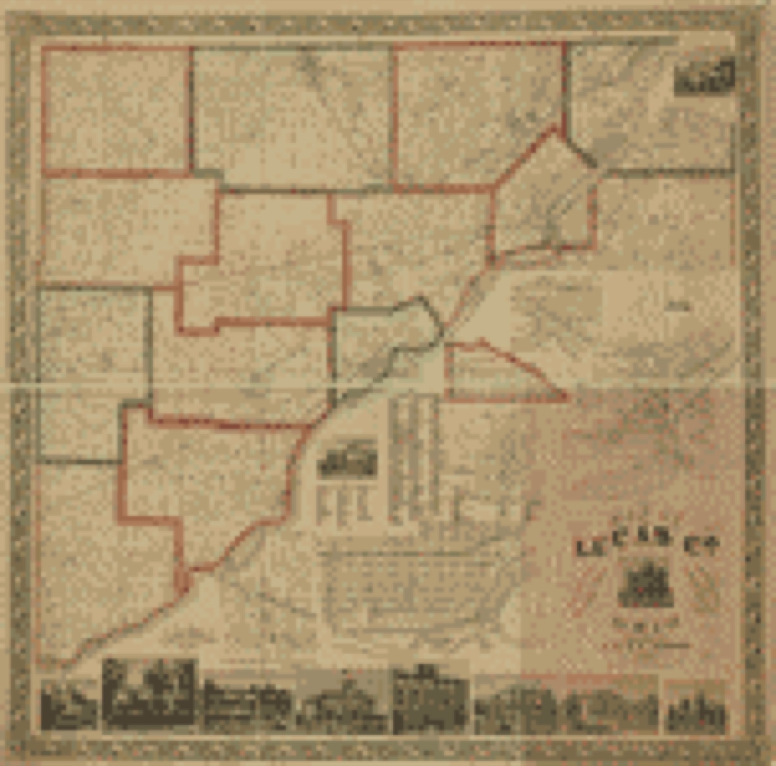
Land ownership map, 1861 - Map of Lucas Co., Ohio
Land ownership map (1861) - Map of Lucas Co., Ohio. Library of Congress.
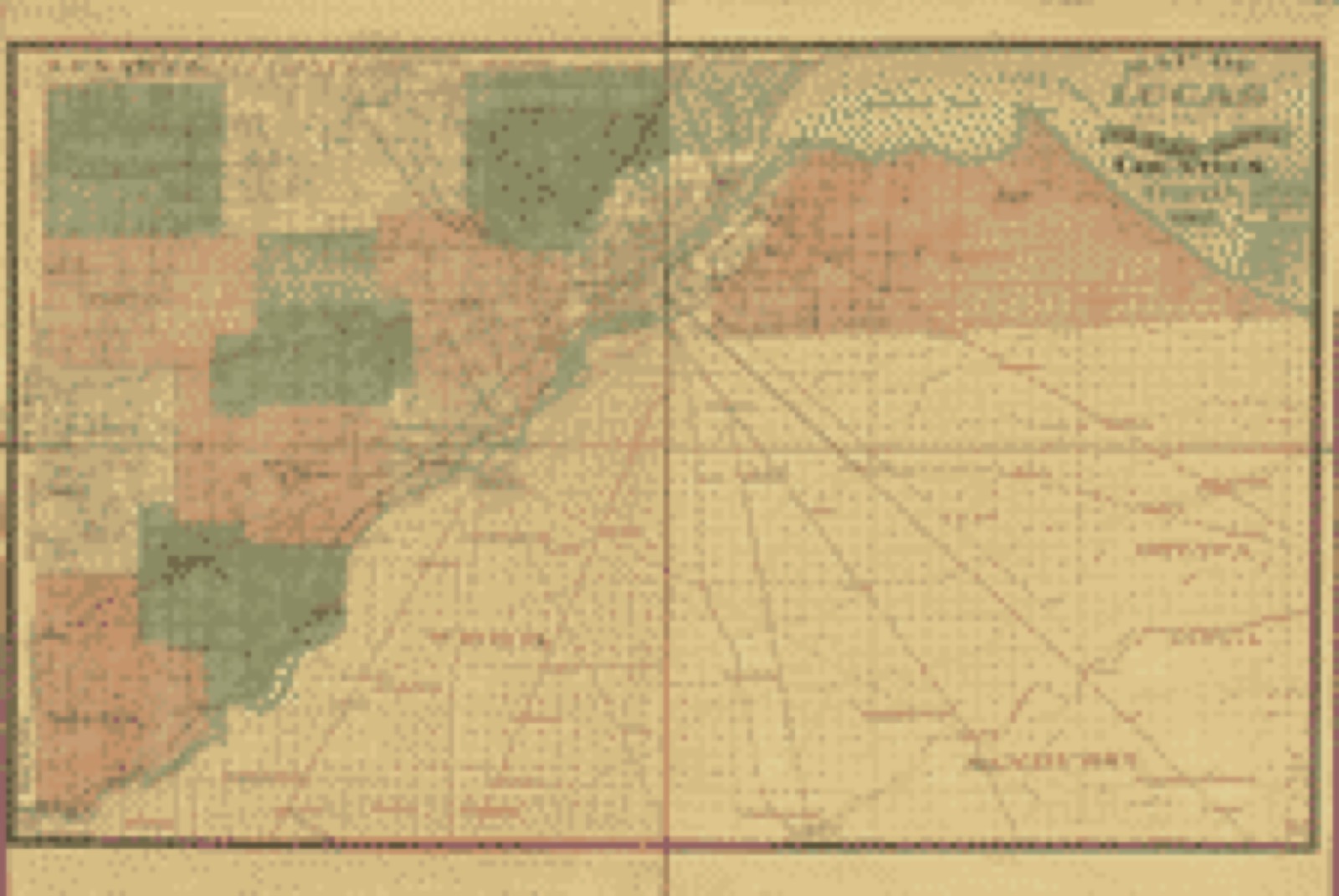
Land ownership map, 1888 - Map of Lucas and parts of Wood, Ottawa and Sandusky Counties, Ohio
Land ownership map (1888) - Map of Lucas and parts of Wood, Ottawa and Sandusky Counties, Ohio. Library of Congress.
Land ownership map, 1896 - Map of Lucas County, Ohio
Land ownership map (1896) - Map of Lucas County, Ohio. Library of Congress.
Land ownership map, 1896 - Map of Lucas County, Ohio
Land ownership map (1896) - Map of Lucas County, Ohio. Library of Congress.
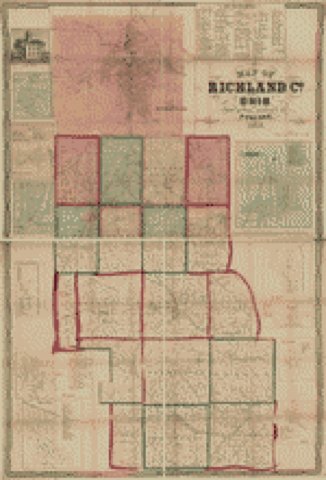
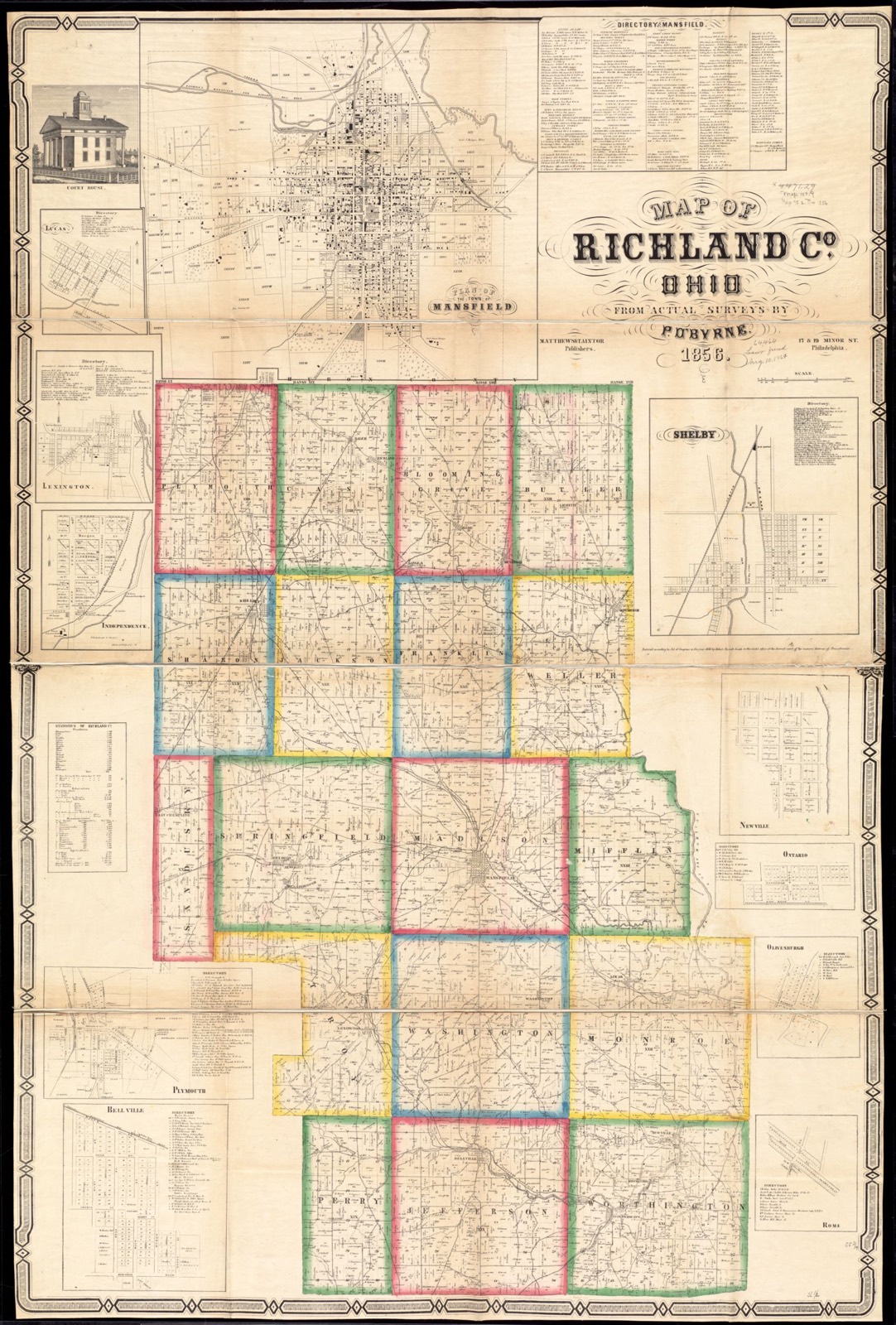
Land ownership map, 1856 - Map of Richland Co., Ohio
Land ownership map (1856) - Map of Richland Co., Ohio. Library of Congress.
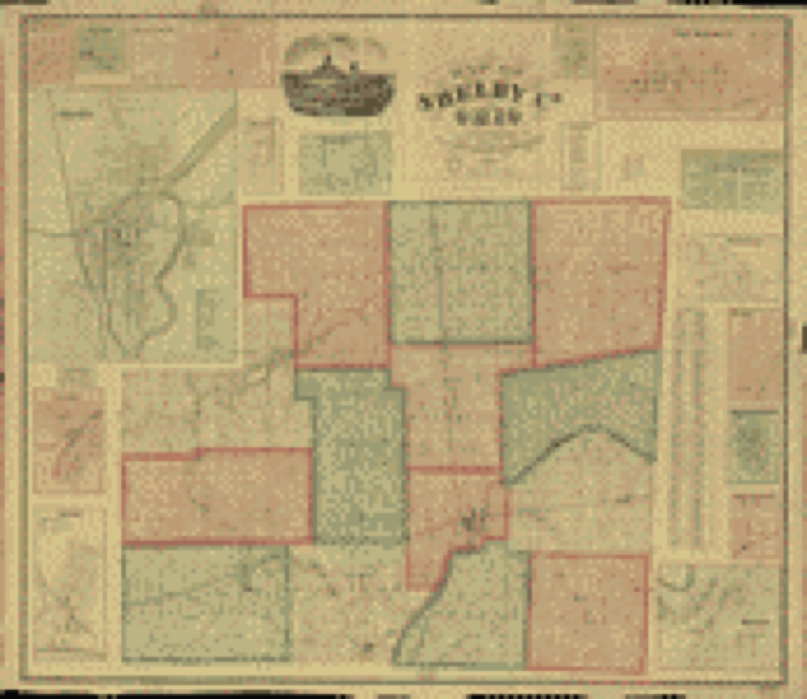
Land ownership map, 1865 - Map of Shelby Co., Ohio
Land ownership map (1865) - Map of Shelby Co., Ohio. Library of Congress.

Photographs from libraries nationwide

3 of 20 shown

Selected from the Digital Public Library of America's 20 image records catalogued for this county. Every one shown here carries a public-domain status or a licence that permits reuse on a site that carries advertising; non-commercial, share-alike and restricted images are excluded. The selection is spread across the county's towns (at most eight per town), so no single institution's bulk upload crowds out the rest. Each opens the holding library's record, and the complete set at the Digital Public Library of America is one click away.

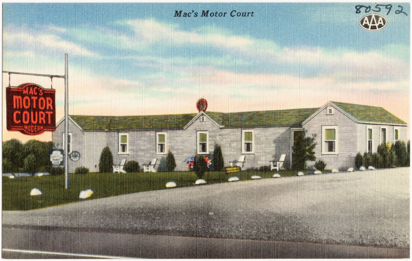
Mac's Motor Court, Boston Public Library - undated
Mac's Motor Court. Boston Public Library, via the Digital Public Library of America.
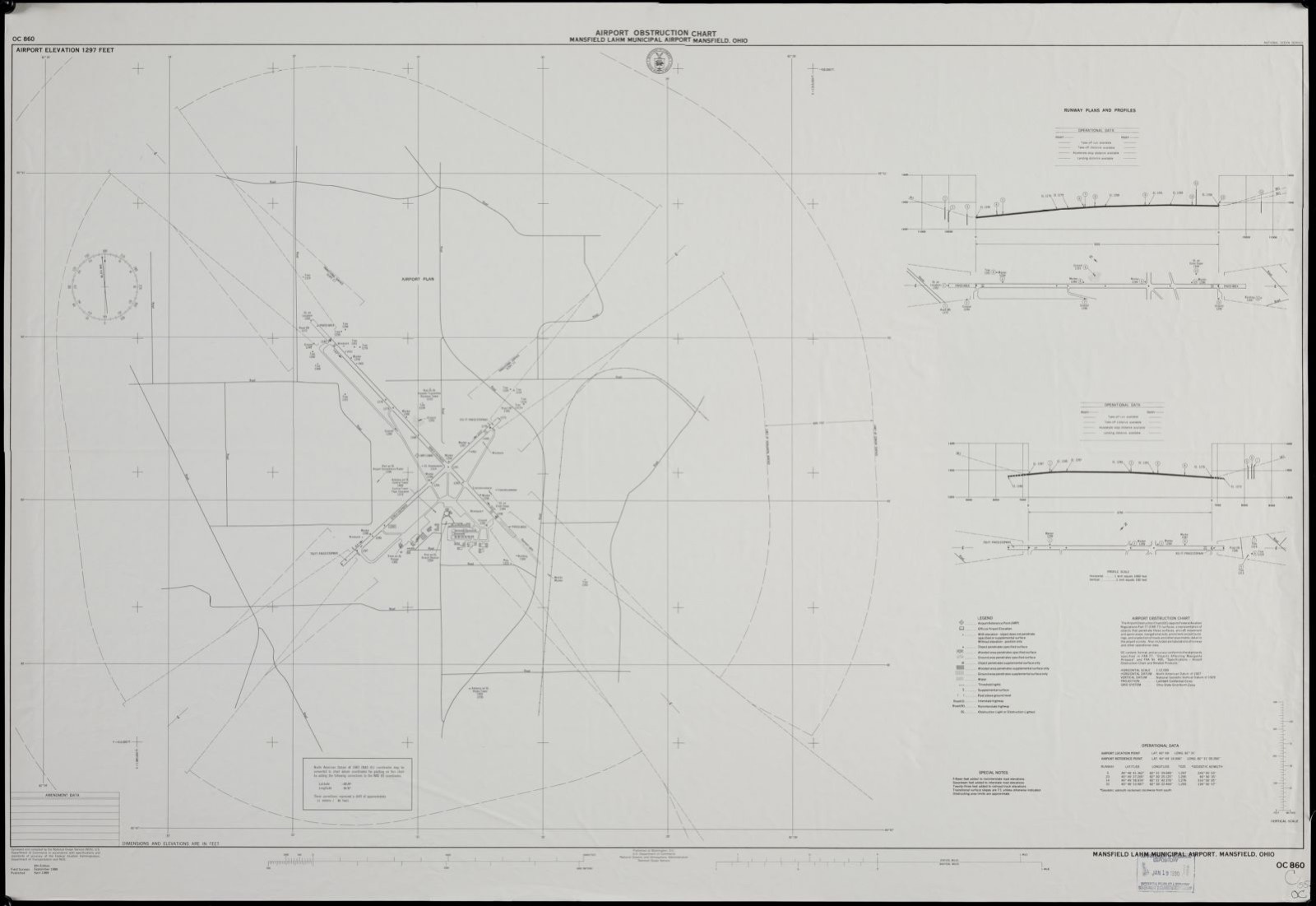
Airport obstruction chart, OC 860, Mansfield Lahm Municipal Airport, Mansfield, Ohio, Boston Public Library - undated
Airport obstruction chart, OC 860, Mansfield Lahm Municipal Airport, Mansfield, Ohio. United States. National Ocean Service, Boston Public Library, via the Digital Public Library of America.
Map of Richland Co., Ohio, Boston Public Library - undated
Map of Richland Co., Ohio. O'Beirne, P, Boston Public Library, via the Digital Public Library of America.

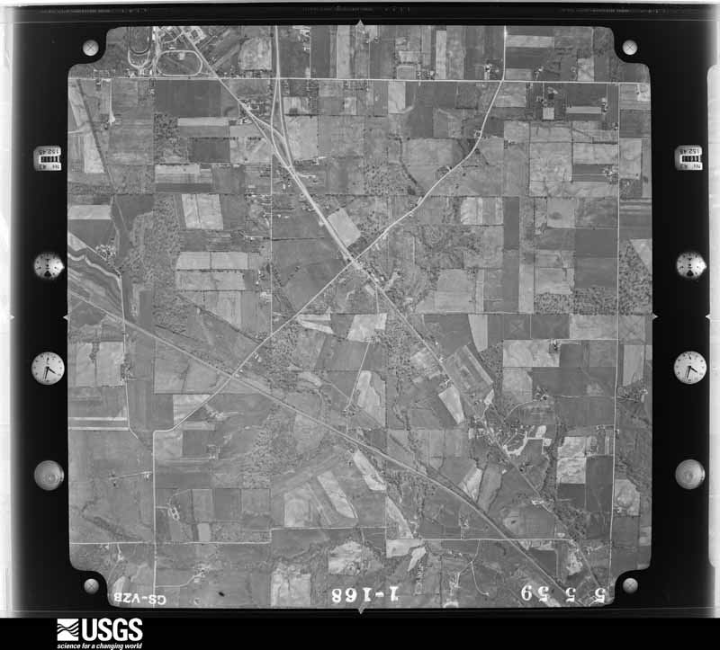
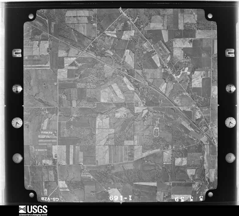
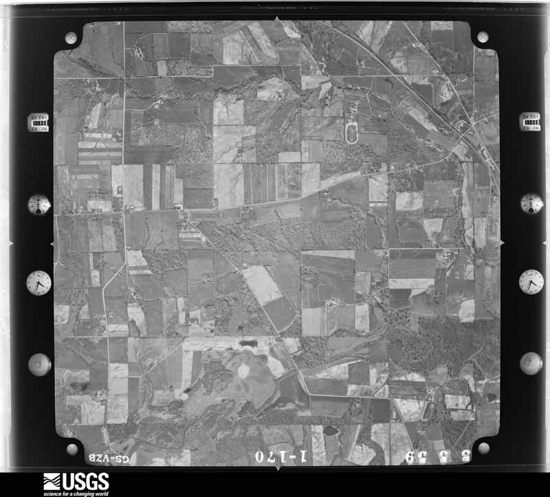
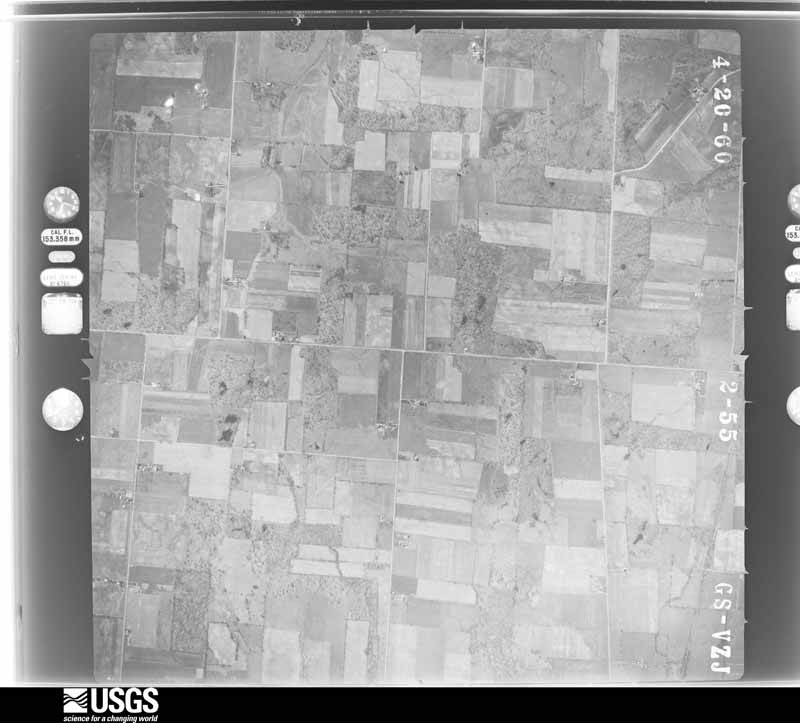
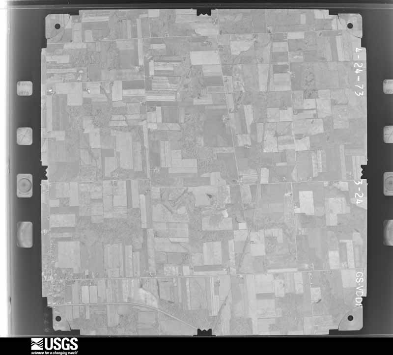
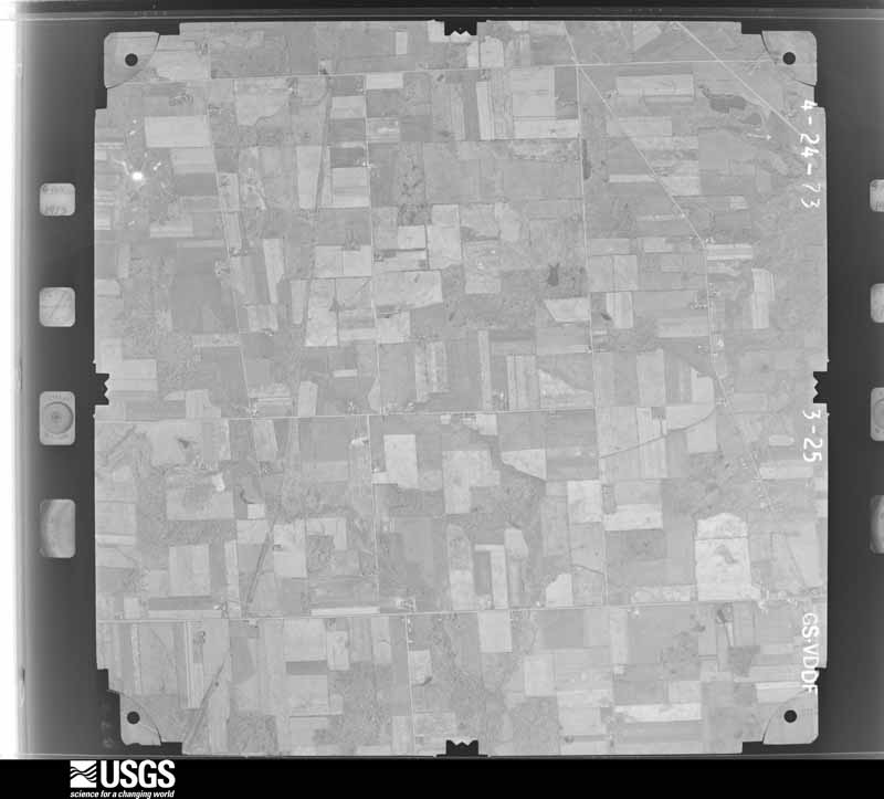
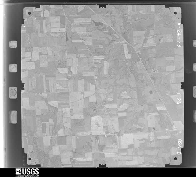
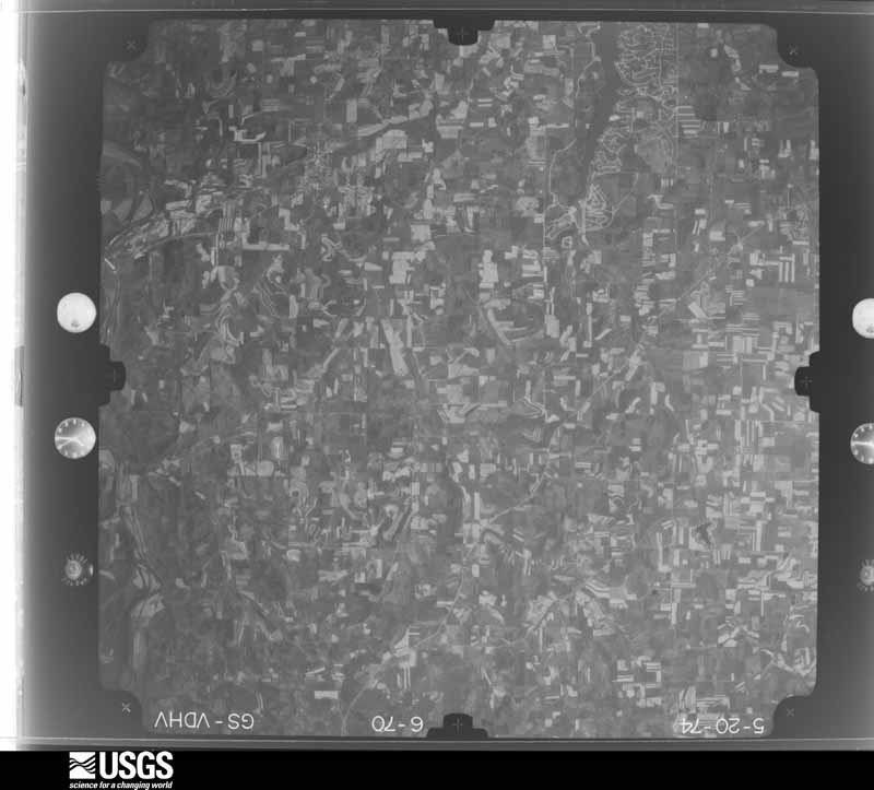
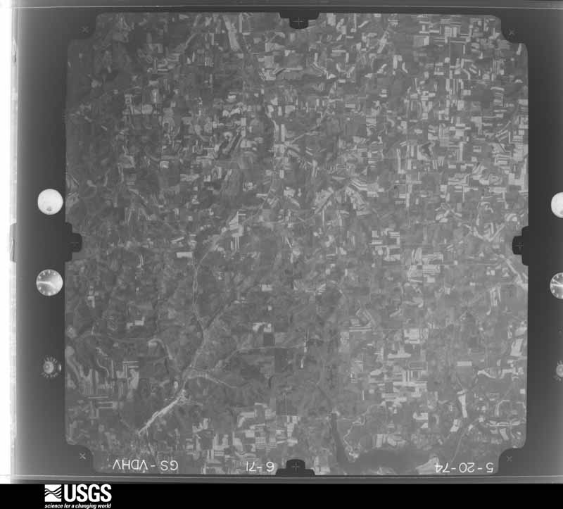
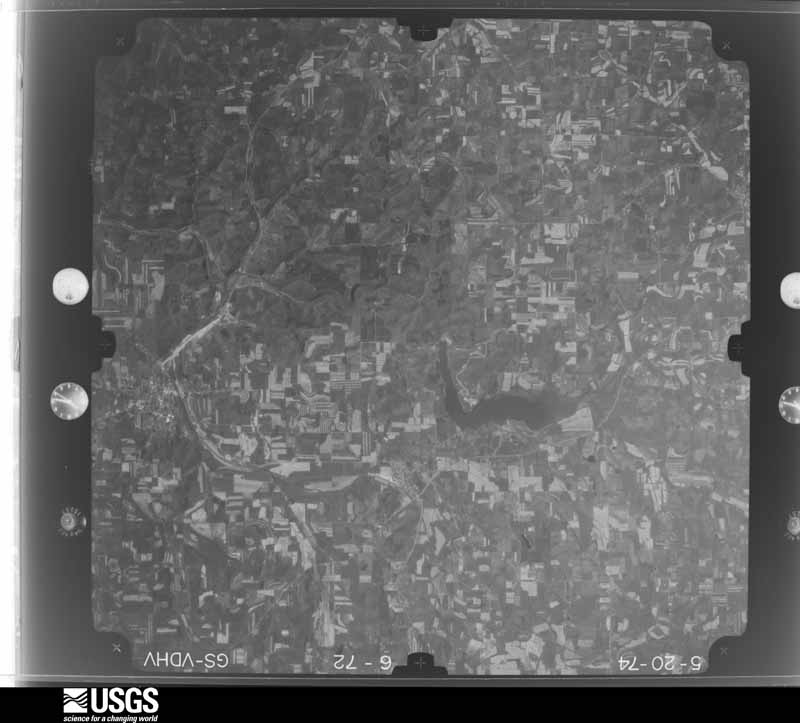
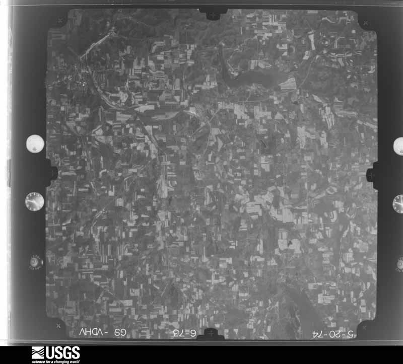
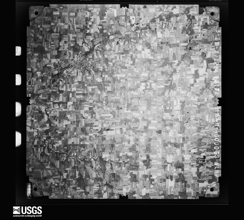
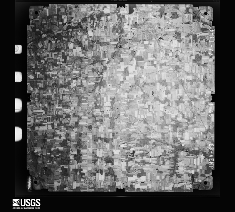
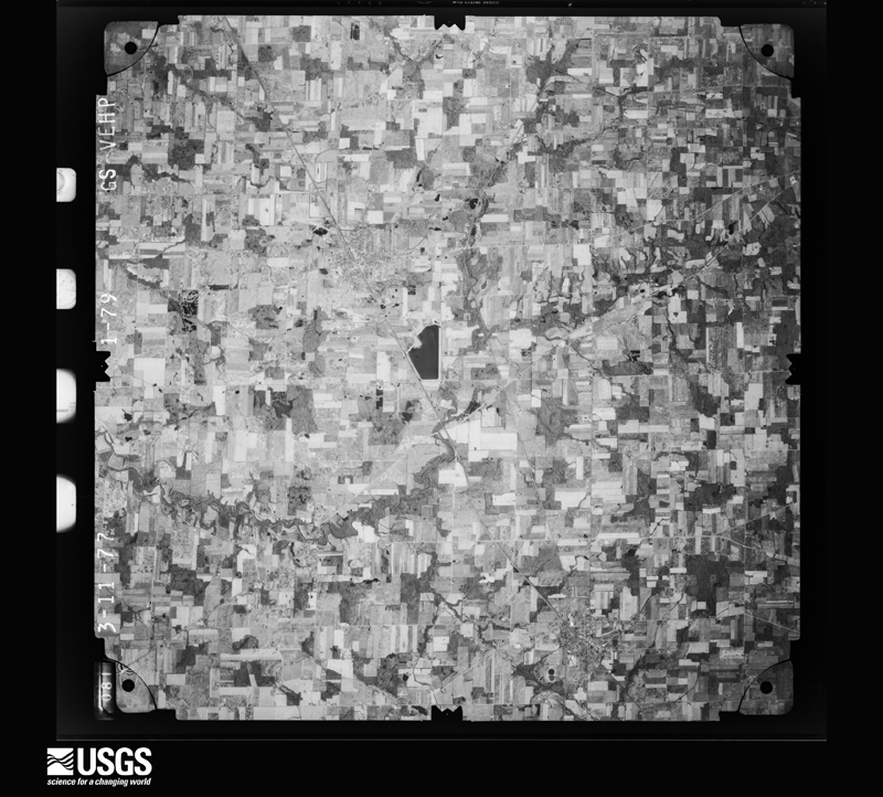
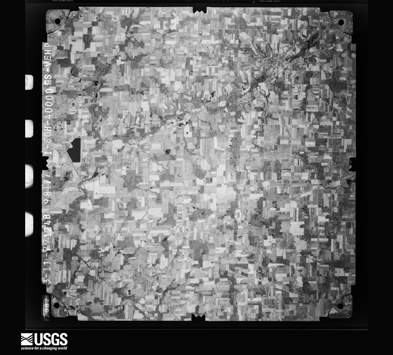
The county from the air

25 of 745 shown

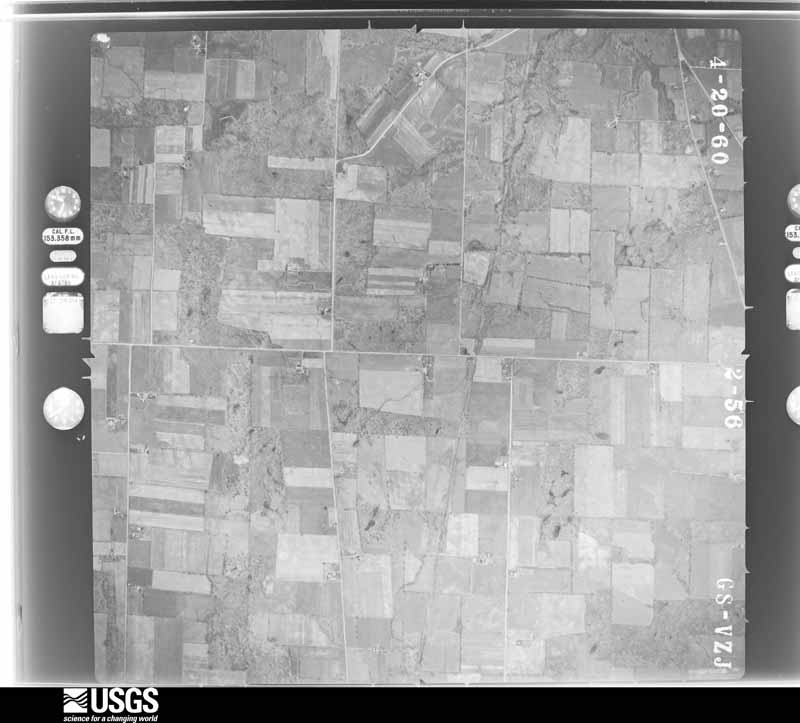
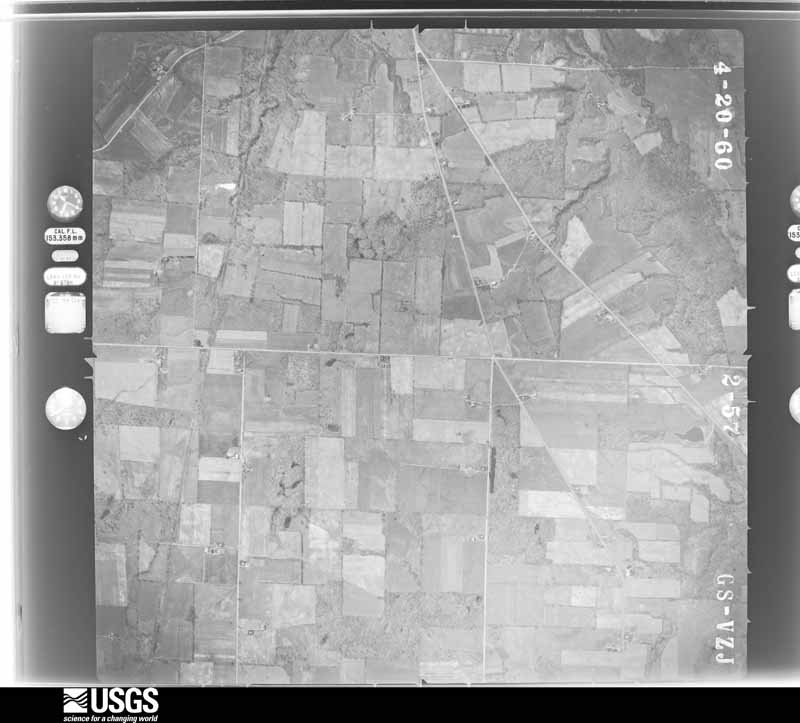
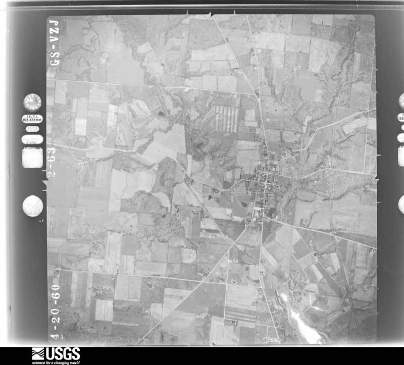
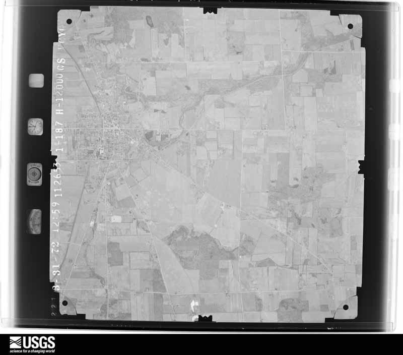
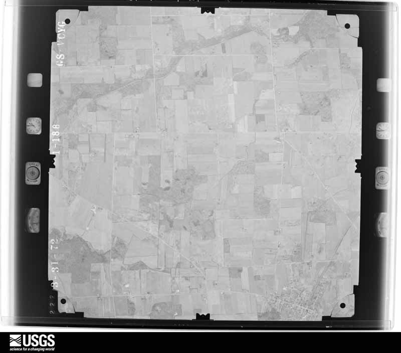
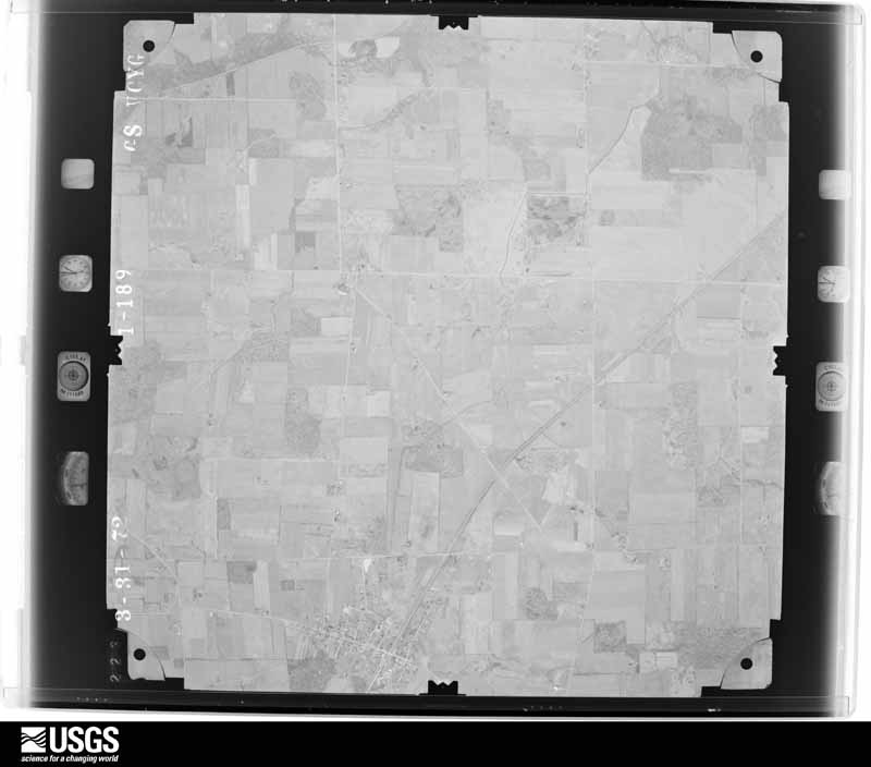
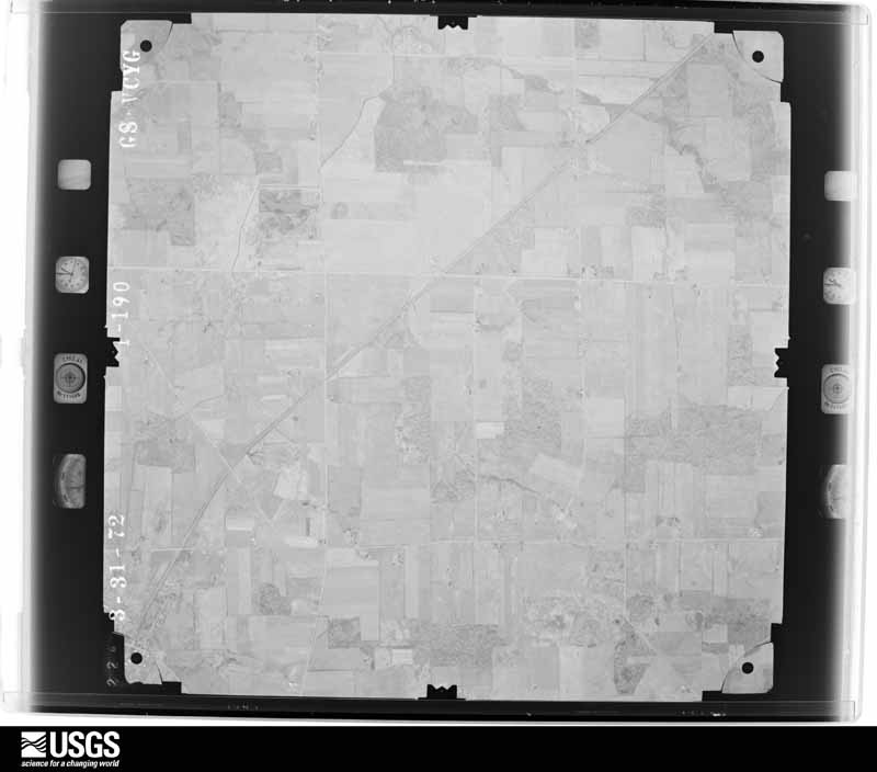
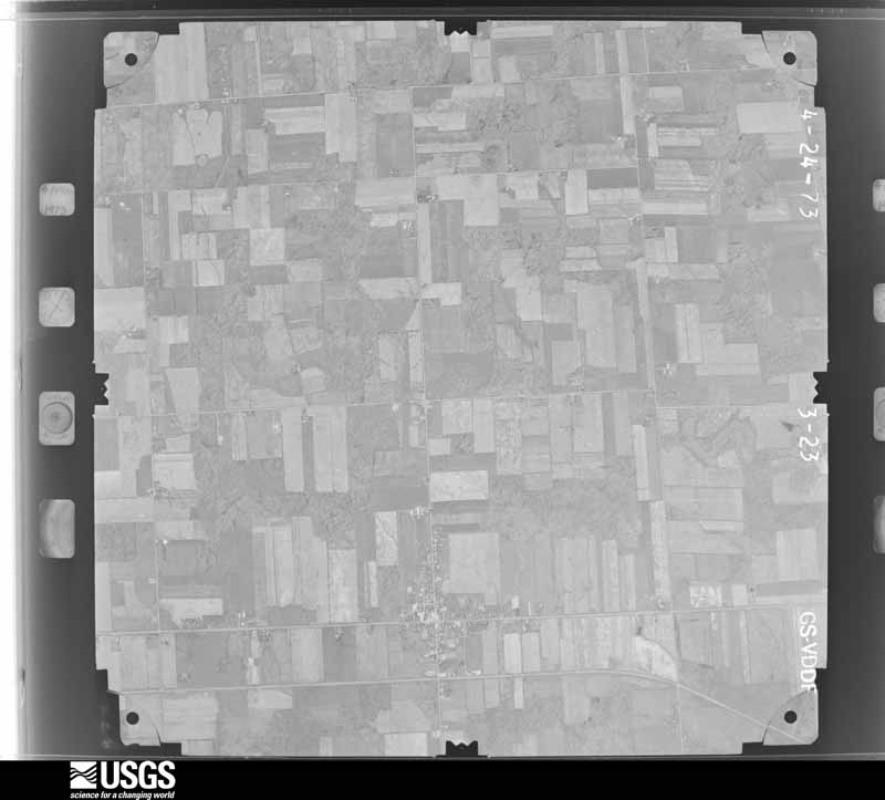
Flown by the U.S. Geological Survey between 1937 and 1989, the Aerial Photo Single Frames collection is the definitive mid-century view of the land: fields, roads and rivers as the camera saw them. 745 frames touch this county; the selection below spreads across the decades of flights (at most four per year), so one flight cannot crowd out the rest. The full set is free to browse and download at EarthExplorer under the dataset Aerial Photo Single Frames.

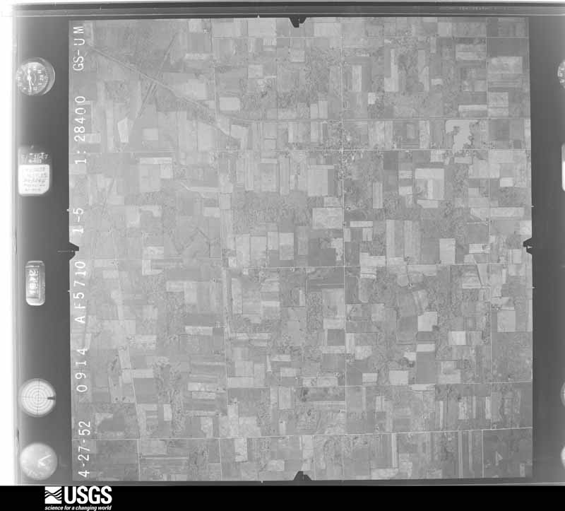
U.S. Geological Survey aerial photograph, 1952-04-01, scale 1:28400
1952-04-01, scale 1:28400. U.S. Geological Survey aerial photograph.
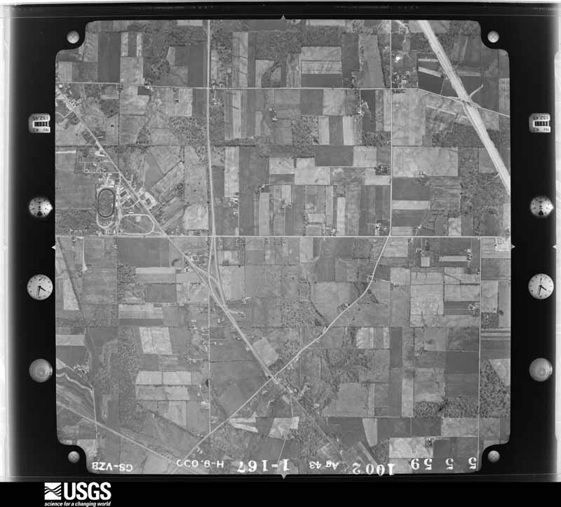
U.S. Geological Survey aerial photograph, 1959-05-08, scale 1:18000
1959-05-08, scale 1:18000. U.S. Geological Survey aerial photograph.
U.S. Geological Survey aerial photograph, 1959-05-08, scale 1:18000
1959-05-08, scale 1:18000. U.S. Geological Survey aerial photograph.
U.S. Geological Survey aerial photograph, 1959-05-08, scale 1:18000
1959-05-08, scale 1:18000. U.S. Geological Survey aerial photograph.
U.S. Geological Survey aerial photograph, 1959-05-08, scale 1:18000
1959-05-08, scale 1:18000. U.S. Geological Survey aerial photograph.
U.S. Geological Survey aerial photograph, 1960-04-01, scale 1:19000
1960-04-01, scale 1:19000. U.S. Geological Survey aerial photograph.
U.S. Geological Survey aerial photograph, 1960-04-01, scale 1:19000
1960-04-01, scale 1:19000. U.S. Geological Survey aerial photograph.
U.S. Geological Survey aerial photograph, 1960-04-01, scale 1:19000
1960-04-01, scale 1:19000. U.S. Geological Survey aerial photograph.
U.S. Geological Survey aerial photograph, 1960-04-01, scale 1:19000
1960-04-01, scale 1:19000. U.S. Geological Survey aerial photograph.
U.S. Geological Survey aerial photograph, 1972-05-05, scale 1:24000
1972-05-05, scale 1:24000. U.S. Geological Survey aerial photograph.
U.S. Geological Survey aerial photograph, 1972-05-05, scale 1:24000
1972-05-05, scale 1:24000. U.S. Geological Survey aerial photograph.
U.S. Geological Survey aerial photograph, 1972-05-05, scale 1:24000
1972-05-05, scale 1:24000. U.S. Geological Survey aerial photograph.
U.S. Geological Survey aerial photograph, 1972-05-05, scale 1:24000
1972-05-05, scale 1:24000. U.S. Geological Survey aerial photograph.
U.S. Geological Survey aerial photograph, 1973-04-01, scale 1:24000
1973-04-01, scale 1:24000. U.S. Geological Survey aerial photograph.
U.S. Geological Survey aerial photograph, 1973-04-01, scale 1:24000
1973-04-01, scale 1:24000. U.S. Geological Survey aerial photograph.
U.S. Geological Survey aerial photograph, 1973-04-01, scale 1:24000
1973-04-01, scale 1:24000. U.S. Geological Survey aerial photograph.
U.S. Geological Survey aerial photograph, 1973-04-01, scale 1:24000
1973-04-01, scale 1:24000. U.S. Geological Survey aerial photograph.
U.S. Geological Survey aerial photograph, 1974-05-01, scale 1:76000
1974-05-01, scale 1:76000. U.S. Geological Survey aerial photograph.
U.S. Geological Survey aerial photograph, 1974-05-01, scale 1:76000
1974-05-01, scale 1:76000. U.S. Geological Survey aerial photograph.
U.S. Geological Survey aerial photograph, 1974-05-01, scale 1:76000
1974-05-01, scale 1:76000. U.S. Geological Survey aerial photograph.
U.S. Geological Survey aerial photograph, 1974-05-01, scale 1:76000
1974-05-01, scale 1:76000. U.S. Geological Survey aerial photograph.
U.S. Geological Survey aerial photograph, 1977-03-11, scale 1:80000
1977-03-11, scale 1:80000. U.S. Geological Survey aerial photograph.
U.S. Geological Survey aerial photograph, 1977-03-11, scale 1:80000
1977-03-11, scale 1:80000. U.S. Geological Survey aerial photograph.
U.S. Geological Survey aerial photograph, 1977-03-11, scale 1:80000
1977-03-11, scale 1:80000. U.S. Geological Survey aerial photograph.
U.S. Geological Survey aerial photograph, 1977-03-11, scale 1:80000
1977-03-11, scale 1:80000. U.S. Geological Survey aerial photograph.

Weather records

20 stations, 12 gages

The thermometers that kept this county's weather, and the gages that watched its rivers, as the federal records hold them. The extremes below are measured values from those records, not estimates.

The 1950 census, district by district

108 districts

Who lived here in 1950, one enumeration district at a time, as the Census Bureau described each district. Each row opens its official National Archives result, with Population Schedules and ED Maps available there.

  • 70-1Blooming Grove township
  • 70-2Butler township
  • 70-3Cass township: Shiloh village
  • 70-4Cass township - That part outside Shiloh village
  • 70-5Franklin township
  • 70-6Shelby city, comprising parts of Jackson and Sharon townships: Shelby city - That part of Ward 3 in Jackson township Bounded by City limits; City limits; E. Main; Dale Ave.
  • 70-7Shelby city - That part of Ward 4 in Jackson township Bounded by E. Main, City limits; City limits; City limits; Township line, Brucker Ave.
  • 70-8Shelby city - That part of Ward 1 in Sharon township Bounded by City limits; Black Fork of Mohican River; W. Main; Sharon, W. Smiley Ave., City limits
  • 70-9Shelby city - That part of Ward 2 in Sharon township Bounded by City limits, W. Smiley Ave.; Sharon; W. Main; City limits
  • 70-10Shelby city - That part of Ward 2 in Sharon township Bounded by W. Main; Black Fork of Mohican River; City limits; City limits, New York Central Railroad
  • 70-11Shelby city - That part of Ward 2 in Sharon township Bounded by City limits, W. Main; New York Central Railroad, City limits; City limits; City limits
  • 70-12Shelby city - That part of Ward 3 in Sharon township Bounded by City limits; City limits; E. Smiley Ave.; Black Fork of Mohican River, City limits
  • 70-13Shelby city - That part of Ward 3 in Sharon township Bounded by E. Smiley Ave.; Oak, Whitney Ave., N. Second; E. Main; Black Fork of Mohican River
  • 70-14Shelby city - That part of Ward 3 in Sharon township Bounded by E. Smiley Ave.; City limits, Dale Ave.; E. Main; N. Second, Whitney Ave., Oak
  • 70-15Shelby city - That part of Ward 4 in Sharon township Bounded by E. Main; Brucker Ave., Township line; Mansfield Ave.; S. Broadway
  • 70-16Shelby city - That part of Ward 4 in Sharon township Bounded by E. Main; S. Broadway, Mansfield Ave., Township line; City limits; City limits, Black Fork of Mohican River
  • 70-17Jackson township - That part outside Shelby city (Remainder of Jackson township is in Shelby city)
  • 70-18Jefferson township: Bellville village: Bellville village - That part east of State Hwy. 13
  • 70-19Bellville village - That part west of State Hwy. 13
  • 70-20Jefferson township - That part east of State Hwy. 13, outside Bellville village
  • 70-21Jefferson township - That part west of State Hwy. 13, outside Bellville village
  • 70-22South Hills, unincorporated comprising parts of Madison and Washington townships: South Hills, unincorporated - That part in Madison township Bounded by Mansfield city limits; Diamond, Unnamed Rd., Unnamed Branch of Rocky Fork; Township line; Unnamed Branch of Rocky Fork, Unnamed Rd., Cook Rd., Mansfield city limits
  • 70-23South Hills, unincorporated - That part in Washington township Bounded by Township line; Unnamed Branch of Rocky Fork; Unnamed Branch of Rocky Fork
  • 70-24West Ausdale, unincorporated comprising parts of Madison and Springfield townships: West Ausdale, unincorporated - That part in Madison township Bounded by U.S. Hwy. 30N., Erie Railroad, Trimble Ave., McPherson; Mansfield city lmits; Offset line 1/4 mile south of and parallel to U.S. Hwy. 30S; Township line
  • 70-25West Ausdale, unincorporated - That part in Springfield township Bounded by U.S. Hwy. 30N; Township line; Offset line 1/4 mile south of and parallel to U.S. Hwy. 30S, Unnamed street; Unnamed road
  • 70-26Madison township, outside the unincorporated places of South Hills and West Ausdale Mansfield city: Mansfield city - That part of Ward 1, excluding Mansfield - Leland Hotel Bounded by Park Ave. W.; S. Main; W. First; Wood
  • 70-27Mansfield - Leland Hotel (In Mansfield city Ward 1)
  • 70-28Mansfield city - That part of Ward 1 Bounded by Park Ave. W.; Wood; Ohio; Vennum Ave., Douglas Ave.
  • 70-29Mansfield city - That part of Ward 1 Bounded by Park Ave. W.; Douglas Ave., Vennum Ave.; Ohio, Popler, Parkview; Bartley Ave.
  • 70-30Mansfield city - That part of Ward 1 Bounded by Parkview, Poplar, Ohio; Wood; Cline Ave.; Bartley Ave.
  • 70-31Mansfield city - That part of Ward 1 Bounded by Glessner Ave.; Sturges; Lexington Ave., Abbeyfeale; Wood
  • 70-32Mansfield city - That part of Ward 1 Bounded by W. First; Columbia Ave., Spruce, Crouse; Glessner Ave.; Wood
  • 70-33Mansfield city - That part of Ward 1 Bounded by W. First; S. Main; Glessner Ave.; Crouse, Spruce, Columbia Ave.
  • 70-34Mansfield city - That part of Ward 1 Bounded by Glessner Ave.; S. Main; Lexington Ave.; Sturges
  • 70-35Mansfield city - That part of Ward 1 Bounded by S. Main; Prospect; Lexington Ave.
  • 70-36Mansfield city - That part of Ward 1 Bounded by Prospect; S. Main; Wolfe Ave.; Harter Ave., Lexington Ave.
  • 70-37Mansfield city - That part of Ward 1 Bounded by Wolfe Ave.; S. Main; City limits; Scholl Rd., Chilton Ave., Harter Ave.
  • 70-38Mansfield city - That part of Ward 1 Bounded by Cline Ave.; Wood, Abbeyfeale, Lexington Ave., Harter Ave., Chilton Ave., Scholl Rd.; City limits, Crescent Rd., Shephard Rd.; Dickson Pkwy., Ward line
  • 70-39Mansfield city - That part of Ward 1 Bounded by Shephard Rd., Crescent Rd.; City limits; Dickson Pkwy.; Andover Rd., Overlook Rd., Davis Rd.
  • 70-40Mansfield city - That part of Ward 2 Bounded by Park Ave. W.; Bartley Ave.; Marion Ave., Maple; Glenwood Blvd.
  • 70-41Mansfield city - That part of Ward 2 Bounded by Park Ave. W.; Glenwood Blvd.; Maple, City limits; City limits
  • 70-42Mansfield city - That part of Ward 2 Bounded by Maple; Euclid Ave., Barnard Ave., Marion Ave.; City limits; City limits
  • 70-43Mansfield city - That part of Ward 2 Bounded by Maple; Marion Ave.; Arlington Ave.; Euclid Ave.
  • 70-44Mansfield city - That part of Ward 2 Bounded by Arlington Ave., Marion Ave.; Bartley Ave.; Cline Ave.; Marion Ave., Barnard Ave., Euclid Ave.
  • 70-45N/A
  • 70-46Mansfield city - That part of Ward 3 Bounded by Baltimore and Ohio Railroad; N. Main; W. Fifth; Bowman
  • 70-47Mansfield city - That part of Ward 3 Bounded by W. Sixth; Bowman; W. Fifth; Penn Ave.
  • 70-48Mansfield city - That part of Ward 3 Bounded by Baltimore and Ohio Railroad; Bowman; W. Sixth, Penn Ave., W. Fourth; Rowland Ave.
  • 70-49Mansfield city - That part of Ward 3 Bounded by Baltimore and Ohio Railroad; Rowland Ave.; W. Fourth; City limits
  • 70-50Mansfield city - That part of Ward 3 Bounded by W. Fourth; Western Ave.; Park Ave. W.; City limits
  • 70-51Mansfield city - That part of Ward 3 Bounded by W. Fourth; Rowland Ave.; Park Ave. W.; Western Ave.
  • 70-52Mansfield city - That part of Ward 3 Bounded by W. Fourth; Benton; Park Ave. W.; Rowland Ave.
  • 70-53Mansfield city - That part of Ward 3 Bounded by W. Fifth; Bowman; W. Fourth; Penn Ave.
  • 70-54Mansfield city - That part of Ward 3 Bounded by W. Fourth; Weldon Ave.; Park Ave. W.; Benton
  • 70-55Mansfield city - That part of Ward 3 Bounded by W. Fifth; N. Main; W. Fourth; Bowman
  • 70-56Mansfield city - That part of Ward 3 Bounded by W. Fourth; N. Main; Park Are. W.; Weldon Ave.
  • 70-57Mansfield city - That part of Ward 4 Bounded by City limits; N. Main; Harker; Mulberry
  • 70-58Mansfield city - That part of Ward 4 Bounded by City limits; Mulberry; Harker; Bowman
  • 70-59Mansfield city - That part of Ward 4 Bounded by City limits; Bowman; Spring Mill; City limits
  • 70-60Mansfield city - That part of Ward 4 Bounded by City limits; Spring Mill; Reed, Lawnsdale Ave., McPherson; City limits
  • 70-61Mansfield city - That part of Ward 4 Bounded by McPherson, Lawnsdale Ave., Reed, Spring Mill; Mulberry; Baltimore and Ohio Railroad; City limits
  • 70-62Mansfield city - That part of Ward 4 Bounded by Harker; Mulberry; Spring Mill; Bowman
  • 70-63Mansfield city - That part of Ward 4 Bounded by Harker; N. Main; Baltimore and Ohio Railroad; Mulberry
  • 70-64Mansfield city - That part of Ward 5 Bounded by City limits; City limits; Orange; First Ave., Grace, Central Ave.
  • 70-65Mansfield city - That part of Ward 5 Bounded by City limits; City limits, Central Ave., Grace, First Ave.; Orange; Wayne, Olivesburg Rd.
  • 70-66Mansfield city - That part of Ward 5 Bounded by City limits; City limits, Olivesburg Rd., Wayne; Orange, N. Adams, E. Sixth; N. Main
  • 70-67Mansfield city - That part of Ward 5 Bounded by E. Sixth; Lundy Lane, Temple Ct., N. Adams; E. Third; N. Main
  • 70-68Mansfield city - That part of Ward 5 Bounded by E. Sixth, N. Adams, Orange; Pennsylvania Railroad; E. Third; N. Adams, Temple Ct., Lundy Lane
  • 70-69Mansfield city - That part of Ward 5 Bounded by Orange; City limits; Ward line, E. Third; Pennsylvania Railroad
  • 70-70Mansfield city - That part of Ward 6 Bounded by E. Third, Ward line; City limits; Oak, E. First; Foster
  • 70-71Mansfield city - That part of Ward 6 Bounded by E. Third; Foster; E. Second; S. Adams, N. Adams
  • 70-72N/A
  • 70-73Fairview Hotel (In Mansfield city , Ward 6)
  • 70-74Mansfield city - That part of Ward 6 Bounded by E. Second; S. Adams; Arch; S. Main
  • 70-75Mansfield city - That part of Ward 6 Bounded by E. Second; Foster; Arch; S. Adams
  • 70-76Mansfield city - That part of Ward 6 Bounded by Arch; Foster; Home Ave., S. Diamond, Flint; S. Main
  • 70-77Mansfield city - That part of Ward 6 Bounded by E. First; Bowers Ave.; Home Ave.; Foster
  • 70-78Mansfield city - That part of Ward 6 Bounded by Home Ave., Bowers Ave., E. First; Oak, City limits; City limits; Altamont Ave., Ford, Fair, S. Diamond
  • 70-79Mansfield city - That part of Ward 6 Bounded by Flint; S. Diamond, Fair, Ford, Altamont Ave.; Chestnut; S. Main
  • 70-80Mansfield city - That part of Ward 6 Bounded by Chestnut; City limits; City limits; S. Main
  • 70-81Garden Acres, unincorporated ( See boundaries shown on Aerial photo C. M. B - 6A - 24)
  • 70-82Lincoln - Cool Ridge Heights, unincorporated: Lincoln - Cool Ridge Heights, unincorporated - That part Bounded by Forest, Kentucky Ave., Unnamed St.; Pennsylvania Ave., Mansfield - Ashland Rd., ( U.S. Hwy. 42), Parry Ave.; Grace; Vonhof Blvd.
  • 70-83Lincoln - Cool Ridge Heights, unincorporated - That part Bounded by Grace; Kentucky Ave., City View Dr., Michigan Ave., Sunset Dr., Illinois Ave.; Pulverlist Rd., Mansfield - Ashland Rd.; 9th Ave.
  • 70-84Lincoln - Cool Ridge Heights, unincorporated - That part Bounded by Grace; 9th Ave.; Mansfield - Ashland Rd.; Mansfield city limits
  • 70-85Lincoln - Cool Ridge Heights, unincorporated - That part Bounded by Mansfield - Ashland Rd., (U.S. Hwy. 42), Pulverlist Rd.; Illinois Ave., Illinois Ave. extended; Pittsburg Ave., Harding Hwy.; Mansfield city limits
  • 70-86Roseland - Steel Mill Area, unincorporated: Roseland - Steel Mill Area, unincorporated - That part Bounded by Warren Rd., Warren Rd. extended, Country Club Dr. extended, North boundary, Westbrook Country Club, Hanna Rd., Hanna Rd. extended; Pennsylvania Railroad; Mansfield city limits, State Rd. 39; Gates Rd.
  • 70-87Roseland - Steel Mill Area, unincorporated - That part Bounded by Walkers Lake Rd., Gates Rd., State Rd. 39; Mansfield city limits, Allison Ave., Geddes, Geddes extended; Unnamed St. extended, Unnamed St.
  • 70-88Madison township - That part east and south of State Hwy. 545, outside Mansfield city and the unincorporated places of Garden Acres, South Hills and Lincoln - Cool Ridge Heights, including that small area east of Mansfield city limits and north of the township line (See gerial photo C.M.B. 6A - 24 for boundaries of Garden Acres and seperate maps for boundaries of South Hills and Lincoln - Cool Ridge Heights)
  • 70-89Madison township - That part west and north of State Hwy. 545, outside Mansfield city and the unincorporated places of Garden Acres, West Ausdale, Roseland - Steel Mill, excluding Ohio State Reformatory (See aerial photo C.M.B. 6A - 24 for boundaries of Garden Acres and separate maps for boundaries of West Ausdale and Roseland - Steel Mill)
  • 70-90Ohio State Reformatory (In Madison township) (Remainder of Madison township is in the unincorporated places of South Hills and West Ausdale)
  • 70-91Mifflin township
  • 70-92Monroe township: Lucas village
  • 70-93Monroe township - That part north of State Hwy. 39 and east of State Hwy. 603, outside Lucas village
  • 70-94Monroe township - That part south of State Hwy. 39 and west of State Hwy. 603, outside Lucas village
  • 70-95Perry township
  • 70-96Plymouth township: Plymouth village - That part in Richland County, comprising part of Plymouth township (Remainder of Plymouth village is in New Haven township, Huron county)
  • 70-97Plymouth township - That part outside Plymouth village
  • 70-98Sandusky township
  • 70-99Sharon township - That part outside Shelby city (Remainder of Sharon township is in Shelby city)
  • 70-100Springfield township, outside the unincorporated place of West Ausdale: Springfield township - That part north of U.S. Hwy. 308, outside the unincorporated place of West Ausdale. (See separate map for boundaries of West Ausdale)
  • 70-101Springfield township - That part south of U.S. Hwy. 30S, outside the unincorporated place of West Ausdale. (See separate map for boundaries of West Ausdale (Remainder of Springfield township is in West Ausdale, Unincorporated)
  • 70-102Troy township: Lexington village
  • 70-103Troy township - That part outside Lexington village
  • 70-104Washington township, outside the unincorporated place of South Hills: Washington township - That part east of State Hwy. 13, outside the unincorporated place of South Hills (See separate map for boundaries of South Hills)
  • 70-105Washington township - That part west of State Hwy. 13, outside the unincorporated place of South Hills (See separate map for boundaries of South Hills (Remainder of Washington township is in the unincorporated place of Area of South Hills)
  • 70-106Weller township
  • 70-107Worthington township: Butler village
  • 70-108Worthington township - That part outside Butler village

Businesses named in the atlases

68 businesses

Every Sanborn volume opens with a printed index naming the town's mills, tanneries, hotels and works by proprietor. Those indexes were read off the scanned sheets by machine and then matched to each other, so a business surveyed four times appears here once, with the years it survived. 19 of these 68 were named in more than one atlas. Each carries a crop of the line it was read from: the spelling is the recogniser's and the 1880s lithographer's, and the scan behind it is the proof.

Wildfire, 2002 to 2020

33 fires

Every wildfire the federal occurrence database records inside this county: 33 of them, burning about 78 acres. 1 started naturally and 0 were recorded as arson. Each settlement page carries the fires within five miles of it.

Reported cause Fires
Debris and open burning20
Missing data/not specified/undetermined7
Smoking4
Natural1
Recreation and ceremony1

The five largest, by the area the report gives. None of them was recorded as arson.

DateCause SizeReported by Name on the report
24 September 2019Missing data/not specified/undetermined20 acresOhio Department of Natural Resources15258
7 October 2020Debris and open burning20 acresOhio Department of Natural Resources15841
27 April 2013Debris and open burning5.0 acresOhio Department of Natural Resourcesnot named
27 September 2019Missing data/not specified/undetermined5.0 acresOhio Department of Natural Resources15304
1 April 2014Debris and open burning4.5 acresOhio Department of Natural Resourcesnot named
13 October 2019Missing data/not specified/undetermined4.0 acresOhio Department of Natural Resources15305
13 October 2019Missing data/not specified/undetermined3.0 acresOhio Department of Natural Resources15306
13 October 2019Missing data/not specified/undetermined2.0 acresOhio Department of Natural Resources15307

Every settlement page carries the fires within five miles of it - see the settlement index below.

Storms, 1956 to 2026

60 of 559 shown

The NOAA Storm Events Database holds 559 reports for this county, causing 1 death, 26 injuries and about $99,817,500 in recorded property damage. Each settlement page carries the reports that name it.

Kind of event Reports
Thunderstorm Wind306
Hail169
Flash Flood39
Tornado30
Flood11
Funnel Cloud2
Heavy Rain1
Lightning1

The most serious of them, by death, then injury, then recorded damage. The accounts are quoted exactly as the forecast office filed them.

WhenEvent Place namedHarm What the report says
July 2006Flash FloodCentral Portion1 killed, 1 hurt, $350,000Heavy rainfall during the afternoon hours of July 12th caused widespread flash flooding across Richland County. Numerous state and county roads, including State Routes 314, 309, 430 and 181 were closed because of fast flowing high water. Initial reports of flooding were from the City of Mansfield where 12 to 18 inches of water was reported flowing across a road. Roads were also closed in Lexington and Ontario. On the east side of Mansfield, a bridge on Hickory Lane was washed out. Also in Mansfield, Touby Run quickly left it's banks and flowed into the first floor of a home near the Coul Street and West 6th Street intersection. Around 5:45 p.m., a young girl fell into a drainage ditch and was swept into a culvert at a botanical garden in Mansfield. The mother of the young girl jumped into the culvert to rescue her and was also swept away. The young girl was swept through the culvert and was rescued. Unfortunately, the mother did not survive. The daughter received only minor injuries.
May 1973Tornado (F2)not stated14 hurt, $25,000no account filed
April 2019Tornado (EF2)Vernon Jct5 hurt, $500,000A long track tornado began about 3 miles southwest of Shelby around 442 PM then tracked northeast to about 5 miles north of Olivesburg. EF 1 damage was seen along much of its 17 mile track. The most significant damage was located on the southeast and east side of Shelby from near the Chevy Dealership along State Route 39 northeastward to State Route 96 where a home was significantly damaged. This is where the EF 2 damage was observed and the tornado reached its maximum width of 1/2 mile. One vehicle was tossed 100 feet into the air with 2 people inside. The vehicle rolled multiple times before coming to a stop. Both persons inside the vehicle were luckily unharmed.
September 2017Tornado (EF2)Crestline2 hurt, $800,000An EF2 tornado crossed into Richland County from Crawford County just to the south of Hook Road in rural Springfield Township. A home on Hook Road just west of Thrush Road sustained heavy damage. Half of the roof of the home was torn off and a bedroom on the southwest side of the house was destroyed. The attached garage on the northeast side of the house was also leveled. Two people inside the southwest corner bedroom were thrown approximately 50 feet and ended up outside in the yard. Both sustained minor injuries. An adjacent detached garage was also leveled. A riding lawnmower inside the adjacent garage was found 100 yards away in a field. The tornado then continued east along Hook Road for several miles causing tree and structural damage. A couple barns were damaged or destroyed and a few other buildings lost roofing or siding in this area. The tornado weakened to an EF1 as it crossed Horning Road. The tornado then continued across open land till it leveled yet another barn as it crossed State Route 314. The tornado strengthened again to EF2 intensity as it crossed Rock Road. One home on Stiving Road was destroyed when large trees landed on the roof of the home causing it to collapse. The house was also knocked off it foundation. Two adjacent homes also sustained damage and some outbuildings were destroyed. At least 5 vehicles at the three homes were destroyed or damage. The tornado continued east and weakened as it crossed State Route 39 just to the north of Cairns Road. The tornado finally lifted about a quarter mile east of Kline Road. Only minor tree damage was observed east of State Route 39. This tornado was on the ground in Richland County for around eight and half miles and had a damage path up to 200 yards in width. Hundreds of trees and many power poles were downed along the damage path.
April 2014Thunderstorm WindBellville1 hurt, $50,000A mobile home flipped in Bellville, injuring one person. Strong thunderstorm winds were observed at Mansfield Lahm Field with a wind gust to 53 knots. The strong thunderstorm winds brought down numerous trees between Bellville and Mansfield and a trailer collapsed in Mansfield near Mock Road while people were inside of it.
May 1997LightningShelby1 hurt, $25,000Lightning struck a building complex, causing water and smoke damage. One person was treated and released from the hospital.
July 2016Thunderstorm WindOlivesburg1 hurt, $15,000The Emergency Manager reported that a tree fell on a man on Route 603 northwest of Olivesburg. Numerous trees were also reported down across the County.
June 2019Flash FloodLucas1 hurt, $2,000Swift water lead to road closures in Lucas near Wallace Road and Mt. Zion Road due to flooding from the Black Fork. 2.19 inches of rain fell during the evening and overnight hours. Water rescue of a man in a wheelchair was washed off the street by rushing waters and into a residential backyard where he was trapped for several hours.
August 2007Flash FloodShelby$70,000,000Heavy rain producing thunderstorms affected Richland County during the late evening hours of August 20th and early morning hours of August 21st. Rainfall rates with the strongest storms exceeded three inches per hour. A trained spotter in Mansfield measured a storm total of 7.5 inches. An automated sensor at Mansfield Lahm Airport measured a total of 6.24 inches with 4.09 inches of this total falling between 2 and 8 am. A Cooperative Observer four miles east of Bellville measured a total of 4.30 inches with 4.37 inches measured by an automated gage at Malabar State Park. Runoff from this rain combined with ground already saturated from earlier rains led to catastrophic flooding across portions of Richland County. Local officials stated that the flooding in the county was some of the the worst ever! The Shelby area was especially hard hit as was the northern portion of Mansfield. In Shelby, the Black Fork of the Mohican River left it's banks and flooded most of downtown Shelby. Flood waters in some areas were as much as 8 feet deep. The Municipal Courthouse was a total loss and the Fire Department building was heavily damaged. Damage to city buildings in Shelby topped $1 million. Two schools in Shelby sustained an additional $1.5 million in damages. Dozens of people had to be rescued by boat in Shelby. Water rescue teams from surrounding areas assisted in the rescues. A Coast Guard helicopter from Detroit rescued several people from the roofs of homes. In Mansfield, flood waters heavily damaged the main Post Office on North Main Street. Water inside the building was up to 15 inches deep with flood waters in nearby parking lots as much as five feet deep. Areas surrounding the Post Office were also unindated. Around 20 people had to be rescued from a gas station at the intersection of State Route 13 and U.S. Highway 30. A 74 year old man was killed around 7 am during a fire caused by flooding. The fire was started after flooding knocked over a gas can and a water heater ignited the gas. Around 100 homes in the county were damaged enough to be declared destroyed with at least 250 homes heavily damaged. Another 1500 homes in the county sustained lesser damages. Dozens of business in the county were also damaged by the flooding. Most of these were along Main and North Gamble Streets in Shelby. Dozens of roads and streets had to be closed because of flooding. Damage to roads, bridges and culverts was extensive. Cleanup and overtime costs incurred by local government agencies was substantial. Finally, standing water and erosion from the runoff caused damage to agricultural interests in the county. |
June 1990Tornado (F2)not stated$2,500,000no account filed
November 1989Tornado (F2)not stated$2,500,000no account filed
March 1985Tornado (F2)not stated$2,500,000no account filed
July 2013FloodShenandoah Carols Ar$2,000,000Over two weeks of consecutive rain was peaked by torrential rain on the 9th and 10th of July where brought widespread flooding to Richland County. The most impacted towns were Shelby, Mansfield, Ontario, Lexington, Bellville and Butler with reported damage to homes and businesses. There was some road damage due to fast moving water. Major flooding at the Pleasant Hill Marina and lake caused evacuation of all campers and boats in that area. Radar estimates put the average rainfall in the county around 4 inches in 48 hours, with locally higher amounts of 6 to 8 inches. The heaviest rain fell over the Black and Clear Forks of the Mohican River, which resulted in widespread flooding for communities along those bodies of water. The period of flooding occurred during peak tourist season and resulted in a notably monetary loss as the river and surrounding campsites were closed for recreational sports.
February 2011Flash FloodBellville$2,000,000Much of Bellville was closed part of the day as water flooded the village's east side. Water surrounded the elementary school and covered the township garage as the Clear Fork rose out of banks. Around 60 water rescues were reported in the Mansfield area. Water damaged commercial businesses around 5th and Main Streets. The main Post Office in Mansfield was flooded.
June 2012Thunderstorm WindLexington$1,000,000An intense line of thunderstorms or Derecho moved across southern Richland County during the afternoon of June 29th causing extensive damage. Winds were estimated to be as much as 65 mph. Over 50 percent of residents in the southern third to half of the county lost power during this event. Power was not completely restored for several days. Hundreds of trees were downed across the county along with many utility poles forcing the closure of some of roads and streets. Damage to homes and buildings was also extensive. Dozens of homes and buildings lost roofing or siding with many other homes damaged by fallen trees. Clean up costs were extensive. The clean up was hampered by an ongoing heat wave with afternoon temperatures in the upper 90s. Significant crop losses are also expected. Damage from this storm in southern Richland County was comparable to the remnants of Hurricane Ike in September 2008.
May 2003Flash FloodCountywide$1,000,000Thunderstorms producing torrential rains moved across the southern half of Richland County and caused extensive damage. Seven and a quarter inches of rain fell in Butler with rainfall rates exceeding two and a half inches per hour. Around six inches of rain was measured in both Lexington and Bellville. Dozens of roads were washed out or closed because of flooding. The Clear Fork of the Mohican River left it's bank in several locations and forced the evacuation of many homes. Numerous mud slides were reported on steep terrain with many trees uprooted and washed away. Water up to six feet deep was reported on roads near Lexington. In Bellville, an automobile dealership parking lot was flooded by up to four feet of water causing extensive damage. The Butler area was the hardest hit with over 40 miles of roads washed out or damaged in the village and surrounding Worthington Township. Dozens of homes and automobiles were damaged by the flood waters. Damage to government property in Butler alone totaled more that $50,000.
June 1998Flash FloodCountywide$1,000,000Heavy thunderstorm rain and rapidly rising streams triggered flooding along Route 13 near Bellville on Saturday. Water depths were reported at least three feet deep in some spots. One man was rescued from his car. Saturated soil and high stream levels responded quickly to another round of rain on Sunday and caused flooding along secondary roads, flooding of basements and damage to crops. Several roads and bridges washed away and roads remained closed for several days in some areas. The county was declared a state and federal disaster area.
July 2013FloodShelby$750,000As a result of heavy rains overnight up to 3 inches in some areas several roads were closed Tuesday July 9th due to high water. The Richland County Sheriff said that 5th Street in downtown Mansfield had flooded, and the fire department evacuated people from homes using boats. There was also flooding on Park Avenue East where roads and railroad tracks were underwater. Some cars were nearly submerged. The Clear Fork River in Shelby forced the fire department out of their station and put about a foot of water over the main road through town. Residents in Bellville were also flooded, according to the sheriff.
February 2011FloodPlymouth$750,000Heavy rain and rapid snow melt led to widespread flooding across Richland County. Rainfall totals across the county ranged from one to three inches on February 27th and 28th. Up to ten inches of heavy snow was on the ground at the onset of the rain. This snow rapidly melted as temperatures warmed into the 50s on the 28th. Up to an additional inch of water equivalent rainfall was released from the melted snow. Several people had be rescued from stranded vehicles. Hundreds of homes in the county sustained damage, mainly from basement flooding. Many roads had to be closed because of the flooding, including State Route 13 on the north side of Mansfield and State Route 96 to the north of the city. Officially 2.12 inches of rain was measured at Mansfield Lahm Airport. A spotter near Lucas reported 2.72 inches of rainfall.
May 2004Thunderstorm WindCountywide$700,000A line of severe thunderstorms moved across Richland County and downed hundreds of trees. Scattered power outages were also reported. A 60 mph wind gust was measured at Mansfield Lahm Airport at 4:06 p.m. Some of the worst damage in the county occurred near Lexington where a campground had four buildings damaged and 500 trees downed. Around 250 trees were toppled in a park near the southeast end of Clear Fork Reservoir. A business near downtown Mansfield lost part of it's roof. Dozens of homes and buildings in the county were damaged by fallen trees and flying debris. Damage to vehicles was also reported throughout the county.
June 2017Flash FloodBlooming Grove$640,000On the afternoon of the 13th clusters of showers and thunderstorms began to produce repeated heavy rainfall over Richland County. By 4:30 PM, Doppler radar estimated nearly two and a half inches of rain across the area triggering flash flooding. In Franklin Township, some vehicles were submerged up to their bumper along with some homes having water up to their foundations on Ganges-Five Points Road. Other roads also experienced flooding including Linn Road with several inches of water flowing across the roadway. Water half-way up a stop sign post on Crall Road was reported in Madison Township. In the city of Mansfield, the motor speedway experienced flooding as well as several city streets after 5:45 PM. A sink hole consumed the shoulder of the US 30 Fifth Avenue exit ramp. Several major roads were flooded in Lexington and a private dam was over-topped on Shelby-Ganges Road in Shelby. At Mansfield Lahm Airport, 3.33 inches | of rain were observed in total; however, Doppler radar estimated that some locations received nearly 5 inches of rain. Flash flooding subsided by around 9:45 PM.
July 2006Flash FloodSouth Portion$600,000Heavy thunderstorm rains fell on the southern portion of Richland County during the late afternoon and early evening hours of July 10th. Rainfall rates with the stronger storms approached three inches per hour. A spotter east of Butler measured 5 inches of rain between 3 and 5 p.m. and a storm total of 7 inches. An automated gage near Belleville measured a storm total of 3.09 inches. Runoff from the rain caused extensive flooding along the Clear Fork of the Mohican River. The river left its banks and damaged a bridge on State Route 95 just northeast of Butler. A culvert neaby was also washed out. Street flooding was reporting in Butler and also in Mansfield. Many homes sustained damage, mainly from basement flooding. Several roads had to be closed because of flooding. Crop losses are also expected as standing water delayed the wheat crop harvest.
May 2004Flash FloodCountywide$500,000A line of severe thunderstorms moved across Richland County and dumped heavy rain on already saturated ground. Spotters reported that over an inch of rain fell during the afternoon storm. For the day, 1.62 inches of rain was recorded at Mansfield Lahm Airport. Streams and rivers in the county quickly rose forcing the closure of several roads, including a couple state routes. A road was washed out just east of Lexington. Many homes and businesses sustained damage from the flooding.
August 2003Flash FloodMansfield$500,000Thunderstorms dumped one to three inches of rain on portions of Richland County in a short period of time. Three inches of rain was measured by spotters in Mansfield in less than two hours. Widespread urban and lowland flooding occurred across the county with the Mansfield and Ontario areas most severely affected. Water eight feet deep was reported in an underpass on the east side of Mansfield with up to three feet of water on many other area roads. Several vehicles were stranded in the flood waters. In Mansfield, a basement wall collapsed causing extensive damage to a home. Several hundred other homes in the county experienced basement flooding.
July 2003Flash FloodMansfield$500,000Thunderstorms dumped two to three inches of rain on Mansfield during the evening hours. Widespread street and lowland flooding occurred as several streams and creeks left their banks. A library had to be evacuated due to flooding in a ground level lobby and parking garage. Several streets in the downtown area flooded stranding many vehicles. Several people had to be rescued from their vehicles. Water up to eight feet deep was reported in an underpass just east of downtown.
August 2000Thunderstorm WindCountywide$500,000A thunderstorm downburst with winds estimated at 80 mph downed hundreds of trees across the county. The most severe damage occurred on the northeast side of Mansfield along Piper and Stewart Roads where several homes and garages were damaged by fallen trees. A 60 by 80 foot brick barn located on Beal Road in Madison Township was completely destroyed. Debris from the barn was found spread over a 12 acre area. Several factories located just south of Mansfield Lahm Airport lost sections of metal roofing. Several cars and trucks were crushed by trees and two barns lost roofs near Shelby.
June 2004Flash FloodCountywide$475,000Thunderstorms dumped two to three inches of rainfall on much of Richland County during the evening hours of June 13th. Significant flooding occurred in the northwestern corner of the county. The Black Fork of the Mohican River went into flood at Shelby (for the first time since 1987) just before midnight. Significant flooding occurred in the city especially in the McKinley Place area where several people had to be evacuated. Widespread flooding was also reported in nearby Plymouth. Two cars and a truck became stranded in four feet of water near Mansfield Lahm Airport. For the day, 1.97 inches of rain was measured at the airport with most of it falling between 8:30 p.m. and 11 p.m. Numerous roads had to be closed because of flooding including State Routes 13 and 96. Nearly 50 RVs had to be moved at Charles Mills State Park due to rapidly rising waters levels in Charles Mills Lake. Dozens of homes and many vehicles sustained flood related damages.
December 2013Thunderstorm WindShelby$300,000A line of severe thunderstorms moved across the northern half of Richland County and caused widespread damage. The damage was especially bad in the Shelby area where dozens of trees were downed causing widespread power outages. At least four building sustained significant damage from either the strong winds or fallen trees. Dozens of other homes lost roofing or siding. Several barns to the east of Shelby were leveled. A lot of damage was also reported north of the Mansfield Airport in the Ganges Five Points area where at least four farm buildings were destroyed. A large sign was flattened at the intersection of State Route 13 and 96. Dozens of trees were downed elsewhere across northern Richland County.
February 2011Flash FloodLexington$250,000Heavy rain and rapid snow melt led to a rapid rise in the Clear Fork at Lexington. Six to ten inches of heavy snow was on the ground at the onset of the rain which measured between 1.5-2. This snow rapidly melted as temperatures warmed into the 50s on the 28th. Up to an additional inch of water equivalent rainfall was released from the melted snow. Several homes and businesses were impacted by the flood waters which climbed quickly, with reports of water levels 4 feet high on the first floor of a church on Lexington Avenue.
July 1992Tornado (F1)not stated$250,000no account filed
October 1989Tornado (F1)not stated$250,000no account filed
May 1983Tornado (F1)not stated$250,000no account filed
June 1980Tornado (F1)not stated$250,000no account filed
June 1977Tornado (F2)not stated$250,000no account filed
June 1977Tornado (F1)not stated$250,000no account filed
July 2013FloodSpring Mill$200,000Two and a half inches of rain fell over saturated ground in Mansfield Ohio on the evening of the 8th and into the early morning hours of the 9th. Most of the flooding that occurred in Mansfield was caused by the excessive runoff and poor drainage. The fire department evacuated homes using boats along 5th Street in downtown. |Flooding on Park Avenue East put roads and railroad tracks underwater. Some cars were submerged. On Mulberry Street, a few inches of water inundated the first floor of some businesses. The rain caused the already swollen Rocky Fork, a tributary to the Mohican River, to come out of its banks in the northern part of town.
November 2002Tornado (F1)Ontario$200,000A tornado touched down three miles west of Ontario just north of Flowers Road and about a mile west of State Route 314. The tornado traveled northeast and leveled a cinder block building and caused extensive structural damage to a house. A car parked near the house was punctured in several spots by debris and hand tools blown from the cinder block building. Many trees were downed along the damage path which was nearly one mile in length and about 25 yards in width. The tornado lifted just before crossing State Route 314.
July 1999Thunderstorm WindCountywide$160,000Trees and power lines downed countywide with the most concentrated damage along U.S. Highway 30 on the north side of Mansfield. The roof of a furniture store near Highway 30 in Mansfield was torn off resulting in water damage to much of the store's inventory. Five power poles were snapped just east of the furniture store and trees around the perimeter of a nearby state prison were knocked down. A portion of the roof of a Mansfield car dealership was torn off. Around a dozen trees were knocked down in the city Bellville on the south end of the county.
March 2024Tornado (EF2)New Pittsburgh$150,000This EF2 tornado with estimated peak winds of 120 mph entered Richland County from Crawford County and tracked east-southeastward across southern portions of the Plymouth area. The tornado tracked near West and Opdyke Roads, and crossed OH-98, OH-61, and OH-191 before ending near Willet Road, between Opdyke Road and Richards Road. Extensive damage to homes, outbuildings, trees, and power poles occurred before the tornado dissipated.
October 2013Thunderstorm WindShelby$150,000Thunderstorm winds gusts of at least 60 mph downed many trees and caused scattered power outages. Some homes sustained roof damage and at least two utility poles were snapped.
August 2007Tornado (EF0)Shelby$150,000A storm survey was conducted and an EF0 tornado was confirmed in Shelby. The tornado touched down at a factory on the west side of the town. The factory sustained some roof damage and had a masonary wall partially collapse. From the factory, the tornado continued through residential neighborhoods causing only intermittent damage. A couple dozen trees were downed along the damage path which was about three quarters of a mile long and no more than 20 yards in width.
July 2006Tornado (F1)Butler$150,000A F1 tornado touched down southwest of Pleasant Hill Lake around 3:40 p.m. The tornado tracked east along Pleasant Hill Road and into southwest Ashland County. The tornado had a damage path approximately two miles long in Richland County. This damage path was intermittent and no more than fifty yards in width. A barn was leveled and a grain elevator was destroyed along Pleasant Hill Road. Numerous trees were also down.
July 2003Thunderstorm WindCountywide$150,000A line of severe thunderstorms moved across Richland County and downed dozens of trees and large limbs. The Mansfield and Ontario areas were especially hard hit. A mobile home was damaged in Ontario. Scattered power outages were reported.
June 1998Flash FloodCountywide$150,000More thunderstorms with torrential rains caused new flooding in addition to ongoing flooding from heavy rains on the 27th. Many basements and roads were flooded, especially near Bellville. Flooding persisted in some areas for several more days.
August 2007Tornado (EF1)Kings Corners$125,000An EF1 tornado moved into southwestern Richland County from Morrow County around 3 pm. This occurred west of Kings Corner along Kings Corner West Road. Two farms in this area sustained damage from the tornado. The tornado then moved southeast across U.S. Highway 42 and followed Kings Corner East Road for about a mile. The tornado then crossed State Route 546 near Eckert Road and eventually lifted near the intersection of Mock Road and Mill Run Road after damaging another home. The tornado had a damage path about four and a half miles long and no more than 50 yards wide in Richland County. A distinctive damage path was visible in wooded areas. The same thunderstorm that produced this tornado was also responsible for a downburst that downed many trees in southwestern Richland County.
July 1995Thunderstorm WindCountywide$120,000no account filed
May 2018Thunderstorm WindLexington$100,000Thunderstorm winds downed trees and limbs in Lexington and the surrounding area. At 1000 people lost power from the storms.
April 2013Thunderstorm WindShelby$100,000The Emergency Manager relayed a report of damage to a barn and utility poles down. A trained weather spotter also reported that a building had a portion of a roof blown off by strong thunderstorm winds.
August 2007Thunderstorm WindKings Corners$100,000A thunderstorm downburst moved southeast across southwestern Richland County and downed dozens of trees from near Kings Corner to near Bellville. A distinct path of downed trees was observed. The thunderstorm responsible for this downburst also produced a tornado that affected portions of Morrow and Richland Counties.
April 2002Thunderstorm WindShelby$100,000Thunderstorm winds toppled and destroyed a large grain bin outside of Shelby.
June 2019Flash FloodOntario$80,000Law enforcement reported multiple roads flooded and impassable across the Mansfield area. Multiple reports of cars stranded and water rescues made. Some water entering basements. Basement and road flooding in Lexington. Route 430 flooded with water rescues. The westbound lane and ramp being closed on Highway 30 due to flooding near Mansfield.
May 2018Flash FloodHanley Vlg$80,000Thunderstorms with heavy rainfall caused washouts and flood damage in Lexington Ohio on the evening of May 21st. Heavy rain moved into the area between 830 and 930 pm with rainfall amounts measured at 3.58. The heaviest rain fell within a 15 minute period between 840 and 855 pm. Significant flooding to recreational parks up to 6 feet of water from the Clear Fork. Overland flooding in west end of town. Otterbein Drive washout in parts off of State Route 97. Norfolk Drive had minor road damage. Lexington-Ontario Road washout not seen before by residents. 15-16 homes had flood damage, mainly to basements and garages with at least 1 first floor residence. Storage facility on Orchard Park Road flooded all units. . A rain gauge at Northmor High School in Morrow County went over 2 inches in approximately 1 hour between 830 and 930 pm. During this same time the heaviest rainfall was over Lexington Ohio.
July 1998Thunderstorm WindLexington$80,000Trees and power lines were downed. Part of a barn roof was blown off and a pole barn was downed.
May 2018Thunderstorm WindShelby$75,000Thunderstorm wind gusts snapped several poles along State Routes 39 and 96 in Shelby. Widespread power outages were reported.
June 2017Thunderstorm WindLexington$75,000Thunderstorm winds caused damage in Lexington and surrounding Troy Township. Several trees large trees and utility poles were downed. Scattered power outages were reported in the area.
June 2013Flash FloodRoseland$75,000Doppler Radar estimated over two inches of rain had fallen in southern and central Richland County between 430 pm and 600 pm. All Mansfield emergency agencies were called out as flash floods put parts of the city under water, delaying many of the weekends events, shutting down several area roads and even damaging a few. The citys street department reported flooding closed down 12 intersections. All but the Park Avenue East underpass and Fourth Street and Bowman Avenue were opened by 10 p.m. Five vehicles stalled out trying to navigate rising waters at the underpass on Park Avenue East where within 20 minutes the water rose three feet. Fourth Street was blocked off at Bowman Avenue after flooding washed the blacktop down to the brick. The road has been under construction since Thursday. Mulberry Street also was closed at the railroad crossing after the heavy rain popped a piece of metal up off the tracks.
July 2013FloodShelby Arpt$75,000After 3 to 4 inches of rain fell over the Black Fork of the Mohican River on the evening of the 8th, it pushed the river out of its banks in the town of Shelby. The town was cut off from east to west. Main Street was closed and the Fire Department and several businesses were evacuated. Numerous homes sustained water damage.
April 2002Thunderstorm WindMansfield$75,000Thunderstorm winds tore sections of roofing off of two large buildings and downed many trees on the northwest side of Mansfield. A windshield was also blown out of a car.
June 1997Flash FloodCountywide$70,000no account filed
July 2013Flash FloodMillsboro$60,000A tributary to the Clear Fork of the Mohican River rose rapidly during the overnight hours of the 9th to the 10th of July in Ontario Ohio. An estimated 2.5 fell in during the evening hours of the 9th, falling over saturated ground. The three day rainfall leading up to this event was close to 8, so conditions were ripe for maximum runoff. A resident along Rock Road awoke in the early morning hours to water filling her home. They were trapped in the home with 6 feet of water in the first floor before the water receded almost as quickly as it rose. The residents lost their belongings and sustained significant damage to their home, but there were fortunately no injuries.

Mines and quarries

16 recorded

The Survey's mineral resources record lists 16 workings inside this county. 8 still produce and 8 are closed or unrecorded. Each settlement page carries the workings within five miles of it.

Commodity Workings
Sand and Gravel, Construction11
Clay3
Clay, Stone, Crushed/Broken1
Iron1

The least common of them first, because a county's hundredth gravel pit says nothing its first ten did not.

Where SiteCommodity StatusRecorded
Empire Steel-Cyclops Div/ MansfieldIronProducer
Richland PitClay, Stone, Crushed/BrokenProducer
Ohio PitClayPast ProducerSedimentary
Ohio PitClayPast Producer
Richland PitClayPast ProducerSedimentary
Bellville PitSand and Gravel, ConstructionPast ProducerSedimentary
Derwacter S & G Belleville PitSand and Gravel, ConstructionProducer
Dh Bowman & Sons Bellville PitSand and Gravel, ConstructionProducer
Lexington PitSand and Gravel, ConstructionPast ProducerSedimentary
Lexington PitSand and Gravel, ConstructionProducer
Lexington Pit & MillSand and Gravel, ConstructionPlant
Lucas PitSand and Gravel, ConstructionPast ProducerSedimentary
Lucas Pit & MillSand and Gravel, ConstructionPlant
Weber MineSand and Gravel, ConstructionProducer

Collected here, 1835 to 1975

8 of 846 shown

Museum specimens collected inside this county and catalogued with a date and a place: 846 of them, by kingdom 518 plantae, 296 animalia, 32 fungi. Each is a physical object in a named collection, not a sighting. Held by CM, Ohio State University - Fish Division, Columbus, OH (OSUM), YPM, UMMZ, Cleveland Museum of Natural History, OH (CLEV), GJO among others, and each settlement page carries the specimens collected near it.

The oldest of them. A specimen proves something was collected on that day; its absence proves nothing.

Photograph YearSpecies KingdomWhere CollectorCatalogue
A photograph of the species Alisma subcordatum, not of this specimen1835Alisma subcordatum Raf.PlantaeMansfieldWilkinson, E.CM CM231724
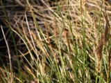
A photograph of the species Carex scoparia, not of this specimen1835Carex scoparia Schkuhr ex Willd.PlantaeMansfieldWilkinson, E.CM CM245448
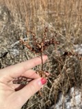
A photograph of the species Carex stricta, not of this specimen1835Carex stricta Lam.PlantaeMansfieldHerb. of E. WilkinsonCM CM417980
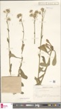
A photograph of the species Erigeron bellidifolius, not of this specimen1835Erigeron bellidifolius Muhl. ex Willd.Plantae[USA, Ohio] Mansfield, Ohio.Wilkinson,E. 5229DR 088121
A photograph of the species Penthorum sedoides, not of this specimen1835Penthorum sedoides L.PlantaeMansfieldE. WilkinsonF V0465899F
A photograph of the species Verbascum thapsus, not of this specimen1835Verbascum thapsus L.PlantaeMansfieldWilkinson, E.CM CM115287
A photograph of the species Achillea millefolium, not of this specimen1836Achillea millefolium L.PlantaeMansfieldWilkinson, E.CM CM413761
A photograph of the species Angelica atropurpurea, not of this specimen1836Angelica atropurpurea L.PlantaeMansfieldWilkinson, E.CM CM172531

The townships, in 1880

371,964 words

History of Richland County, Ohio : (including the Original Boundaries) ; Its Past and Present, Containing a Condensed Comprehensive History of Ohio, Including an Outline History of the Northwest, a Complete History of Richland County ... Miscellaneous Matter, Map of the County, Biographies and Histories of ... the Most Prominent Families, &c., &c. devotes a chapter to each township: its boundaries and streams, who settled it and when, the mills, the schools and the churches. All 19 are reproduced here in full. Each row shows the township's own shape and where it lies in the county, drawn from the Census Bureau's boundary. Which settlements belong to which township is computed from that same boundary, not taken from the book.

The people it describes

52 named

Everyone History of Richland County, Ohio : (including the Original Boundaries) ; Its Past and Present, Containing a Condensed Comprehensive History of Ohio, Including an Outline History of the Northwest, a Complete History of Richland County ... Miscellaneous Matter, Map of the County, Biographies and Histories of ... the Most Prominent Families, &c., &c. stops to write about, with the section that describes them. Among them are the men who founded the place and governed the Territory. Each name opens the passage itself, in the words of 1880.

Every populated place in the county

63

Named settlements recorded in the Geographic Names Information System, each with the topographic sheets covering it. Villages, hamlets and abandoned places alike. Each is shown with the watercourse or landform it stands on and the survey quadrangle it falls on. The 4 places that were also surveyed for fire insurance come first, with the number of atlases and photographs held for them.

Recorded here

Mansfield, Ohio

14 topographic sheets and 9 fire insurance atlases, 1887 to 1949

Shelby, Ohio

13 topographic sheets and 8 fire insurance atlases, 1889 to 1947

Bellville, Ohio

0 topographic sheets and 6 fire insurance atlases, 1895 to 1950

Butler, Ohio

14 topographic sheets and 6 fire insurance atlases, 1885 to 1950

Everything this county holds

The complete index, with nothing left out. Each of these is a separate record with its own page: a federal survey report, or the case file that argued a property on to the National Register. Both are public domain and reproduced word for word.

Surveyed structures

1 structure

Nomination case files

61 case files

The vanished settlements of Richland County, the places these records name that are no longer on the map.

Provenance

  • Topographic sheets. USGS Historical Topographic Map Collection, county index, measured from the bulk metadata.
  • Fire insurance maps. Library of Congress Sanborn collection, faceted to this county.
  • Photographs. Each place queried individually against the Library of Congress Prints and Photographs search.
  • Wildfire. Short, Karen C. 2022. Spatial wildfire occurrence data for the United States, 1992-2020 [FPA_FOD_20221014]. 6th Edition. Fort Collins, CO: Forest Service Research Data Archive. https://doi.org/10.2737/RDS-2013-0009.6 Collected with United States Government funding and usable without additional permissions or fees.
  • Specimens. Global Biodiversity Information Facility (GBIF), https://www.gbif.org/. Only records licensed CC0 or CC BY are used. Records licensed CC BY-NC are excluded because this site carries advertising. Images are checked individually and any whose licence is non-commercial, no-derivatives or unreadable is refused.
  • Mines and quarries. USGS Mineral Resources Data System (MRDS) https://mrdata.usgs.gov/mrds/ A work of the United States government, no copyright under 17 U.S.C. 105.
  • Storms. NOAA National Centers for Environmental Information, Storm Events Database https://www.ncei.noaa.gov/stormevents/ A work of the United States government, no copyright under 17 U.S.C. 105. Narratives are quoted verbatim from the National Weather Service report and are not edited or summarised.