 Block
Madison Addition, Ohio
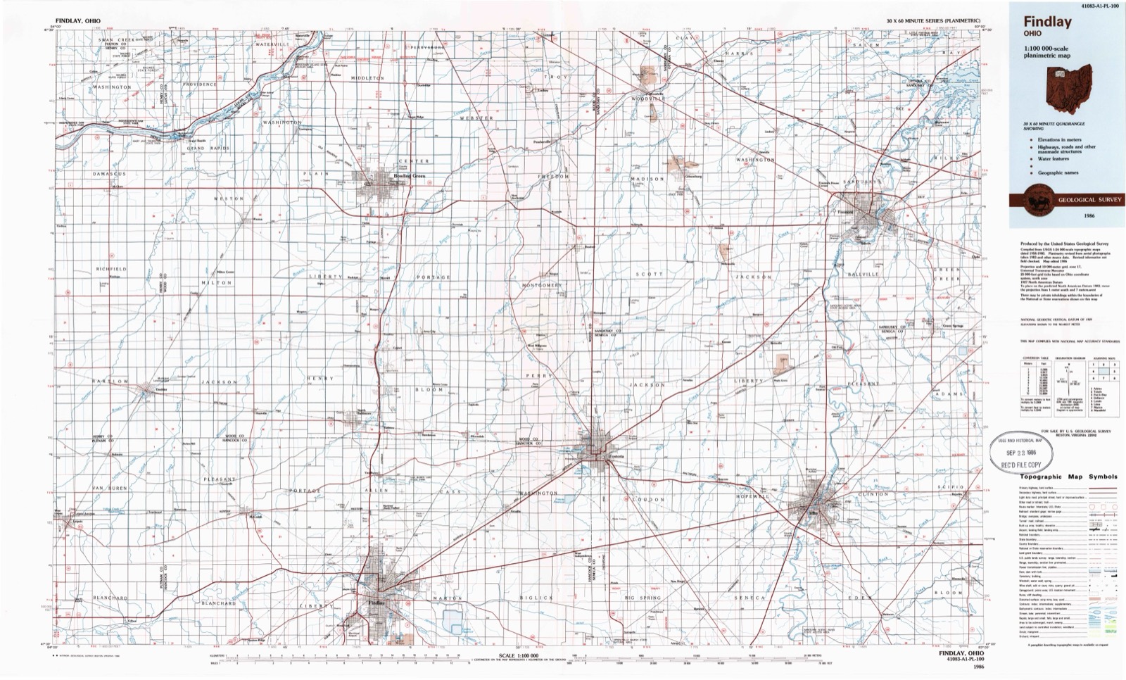
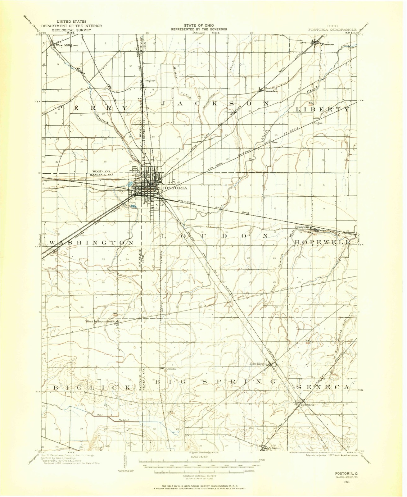
11 topographic sheets cover this place, the earliest surveyed in 1901 and the latest in 1986. It stands in Perry Township. It lies in ZIP code area 44830. The Survey maps it on the Fostoria quadrangle.
Then and now
1901 to 1986The same ground, surveyed 85 years apart. Drag the handle to wipe between them. Both sheets are United States Geological Survey originals; neither has been altered.
Compare 1901 against another survey:
Topographic sheets covering this place
6 surveys from 11 printed sheetsMatched by testing this settlement's coordinate against the published boundary of every sheet in the United States Geological Survey's historical collection. Each opens the scanned sheet at the Survey.
- 1901 USGS Fostoria quadrangle1:62500
- 1903 USGS Fostoria quadrangle1:62500
- 1956 USGS Toledo quadrangle1:250000, 4 printings
- 1960 USGS Fostoria quadrangle1:24000, 2 printings
- 1961 USGS Toledo quadrangle1:250000
- 1986 USGS Findlay quadrangle1:100000, 2 printings
Fires near this place
2 since 2002Regional context, not property-specific evidence. The federal wildfire occurrence database lists 2 fires within 5 miles of Madison Addition in 2002, burning under an acre in total. None started naturally. None was recorded as arson. Distance is straight-line from the map coordinates, so a fire counted here may appear on a neighbouring settlement's page as well.
| Reported cause | Fires |
|---|---|
| Missing data/not specified/undetermined | 2 |
The most recent of them, most recent first, with the day each was reported and the service that recorded it.
| Date | Cause | Size | Reported by | Name on the report |
|---|---|---|---|---|
| 19 August 2002 | Missing data/not specified/undetermined | under an acre | Ohio State Fire Marshal's Office | not named |
| 13 July 2002 | Missing data/not specified/undetermined | under an acre | Ohio State Fire Marshal's Office | not named |
Settlements close enough to share some of these fires:
Specimens collected near this place
12 of 155 shownRegional context, not property-specific evidence. Museums hold 155 specimens collected within 10 miles of Madison Addition between 1894 and 1975: 152 Animalia, 3 Fungi. 12 distinct Species records are shown. Collected by Daiber, F. C. (Frank C.), Daiber, F. C. (Frank C.), Langlois & Kinney, E. C. (Edward Coyle), E. E. Bogue and others. Each is a physical object with a catalogue number, and each entry opens the museum's record. This is what was collected and kept, not a survey of what lives here - nothing can be concluded from a species being absent.
| Image | Species | Year | Collected by | Where, as recorded |
|---|---|---|---|---|
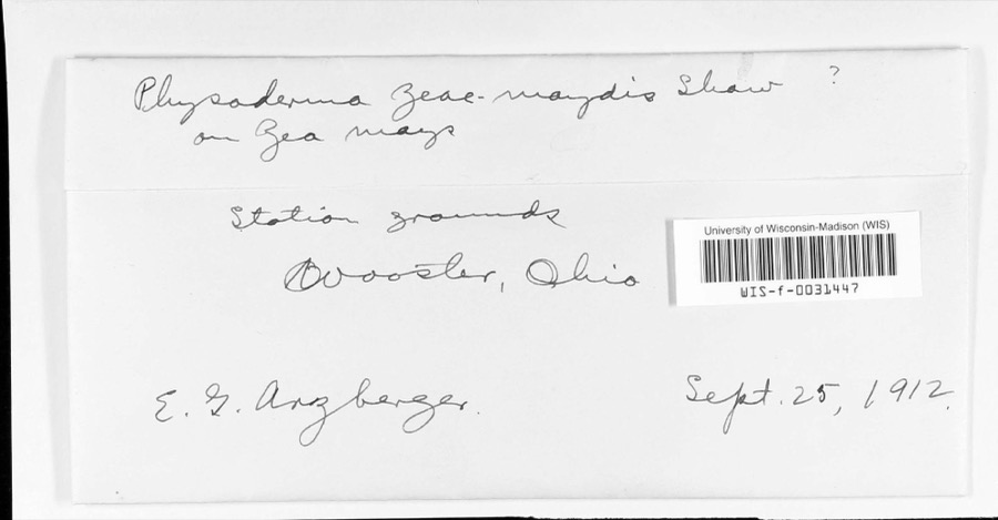 | Physoderma zeae-maydis F.J.F.Shaw | 1912 | E. G. Arzberger | Station grounds |
 | Icterus galbula galbula (Linnaeus, 1758) | 1894 | Geo W. Dean | Wayne |
 | Calicium lenticulare Ach. | 1895 | E. E. Bogue | |
 | Esox vermiculatus Lesueur, 1846 | 1929 | Trautman, M. B. (Milton Bernard) | South Branch Portage River, near Bloomdale OH, Perry township |
 | Etheostoma nigrum Rafinesque, 1820 | 1929 | Trautman, M. B. (Milton Bernard) | South Branch Portage River, near Bloomdale OH, Perry township |
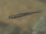 | Notropis heterolepis Eigenmann & Eigenmann, 1893 | 1929 | Trautman, M. B. (Milton Bernard) & Hines, J. | South Branch Portage River, near Bloomdale OH, Perry township |
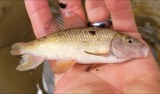 | Erimyzon oblongus claviformis (Girard, 1856) | 1930 | Trautman, M. B. (Milton Bernard) & Foster, R. (Robert) | South Branch Portage River, near Bloomdale OH, Perry township |
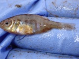 | Lepomis gibbosus (Linnaeus, 1758) | 1930 | Trautman, M. B. (Milton Bernard) & Foster, R. (Robert) | South Branch Portage River, near Bloomdale OH, Perry township |
 | Moxostoma erythrurum (Rafinesque, 1818) | 1930 | Trautman, M. B. (Milton Bernard) & Foster, R. (Robert) | South Branch Portage River, near Bloomdale OH, Perry township |
 | Acris crepitans Baird, 1854 | 1931 | Walker, C. F. (Charles F.) | West Millgrove, Wood Co., Ohio |
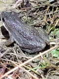 | Pseudacris triseriata (Wied-Neuwied, 1838) | 1931 | Walker, C. F. (Charles F.) | West Millgrove, Wood Co., Ohio |
 | Rana clamitans Latreille, 1801 | 1931 | Walker, C. F. (Charles F.) | West Millgrove, Wood Co., Ohio |
All 155 specimens within 10 miles, at the Global Biodiversity Information Facility.
Mines and quarries near this place
1 within 5 milesRegional context, not property-specific evidence. The federal mineral resources record lists 1 working within 5 miles of Madison Addition: 1 producer. All of them still produce. What was taken out: REE. Distance is straight-line from the map coordinates, so a quarry counted here may appear on a neighbouring settlement's page as well.
| Where | Site | Commodity | Status | Recorded |
|---|---|---|---|---|
| Union Carbide/ Fostoria, Ohio | REE | Producer |
Nearest settlements
The eight closest, with where each one stands in the county. Distances are straight-line, computed from the Geographic Names Information System coordinates.
| Map | Place | Distance | Sheets |
|---|---|---|---|
| Flechtner Heights | 0.2 miles | 11 | |
| Caldwells Addition | 0.3 miles | 11 | |
| Stearns Crest | 0.6 miles | 11 | |
| Perry Center | 3.0 miles | 11 | |
| Hatton | 4.7 miles | 14 | |
| West Millgrove | 5.0 miles | 11 | |
| Risingsun | 5.4 miles | 14 | |
| Eagleville | 6.8 miles | 12 |
Provenance
This settlement is recorded in the Geographic Names Information System as feature 1951847. The sheet list is computed by point-in-boundary test against the United States Geological Survey's historical topographic inventory. Both are works of the United States government and carry no copyright under 17 U.S.C. 105.
Wildfire. Short, Karen C. 2022. Spatial wildfire occurrence data for the United States, 1992-2020 [FPA_FOD_20221014]. 6th Edition. Fort Collins, CO: Forest Service Research Data Archive. https://doi.org/10.2737/RDS-2013-0009.6 Collected with United States Government funding and usable without additional permissions or fees.
Specimens. Global Biodiversity Information Facility (GBIF), https://www.gbif.org/. Only records licensed CC0 or CC BY are used. Records licensed CC BY-NC are excluded because this site carries advertising. Images are checked individually and any whose licence is non-commercial, no-derivatives or unreadable is refused.
Mines and quarries. USGS Mineral Resources Data System (MRDS) https://mrdata.usgs.gov/mrds/ A work of the United States government, no copyright under 17 U.S.C. 105.