101 topographic sheets and 37 fire insurance
atlases across 6 places.
Research this county
This curated hub for Wood County, Ohio brings together the page's documented record links, visible map or image evidence where published, and routes to related local records.
Use the page's provenance and linked records to distinguish the source material from the site's navigation and summaries.
How should I cite it?
Open the original record, preserve its repository and identifier, then use the citation tool for this page as a path back to the source.
Where should I go next?
Follow the county or state hub for related places and records, then use the guide for a source-aware research sequence.
From the record
“Tl I K earliest recollections we have from the first settlers all speak of the great numbers of wild bogs that frequented the woods in the Black Swamp. They were more numerous at times than the deer and many years later they were captured in the dense woods north of what is called the "Devil's Hole."”
Wild Hogs - Commemorative Historical and Biographical Record of Wood County, Ohio; Its Past and Present (1897). Machine-read text.
21 National Register listings, of which 1 are National Historic Landmarks · 63 businesses named in the fire insurance atlases from 1884 to 1948 · the 1897 county history tells 42 stories and names 63 people · people the book names include Rev. Joseph Badger (Liberty Township, 1910) · Nathaniel H. Callard (Freedom Township, 1910) (machine-read).
Ohio within the United StatesWood County within Ohio
Explore by year
What the record shows
6 places in this county were surveyed for fire insurance: Bowling Green, North Baltimore, Perrysburg, Weston, Pemberville, Bradner, between 1884 and 1949.
37 fire insurance atlas(es) survive for the county. Topographic coverage is national; fire insurance survey reached only incorporated places with something worth insuring.
2,439 topographic sheet readings cover the county's settlements.
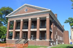
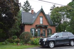
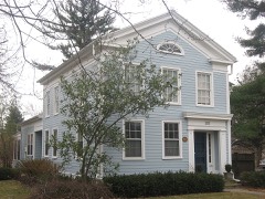
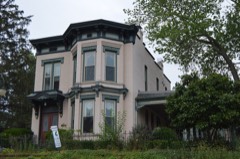
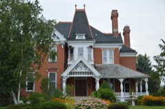
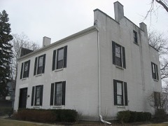
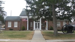
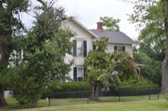
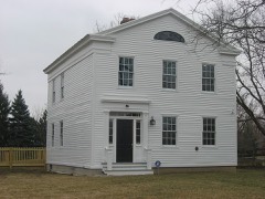
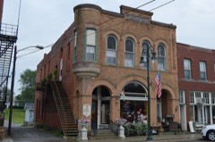
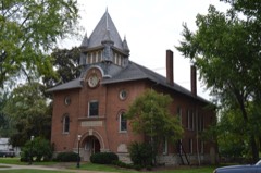
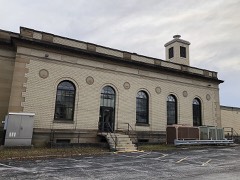
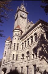
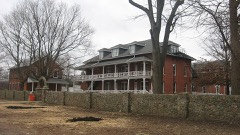
21 properties here are on the National Register of Historic Places, including 10 houses and farms.
10 of the 21 listings were added during the 1970s.
The Geographic Names Information System records 161 populated places in this county; 0 are covered by at least one topographic sheet.
4 public-domain county histories, 1897 to 1910, supply 430,763 words of narrative reproduced here in full.
What happened here
42 accounts
A captivity, a drowning, a famine, a man
scalped clearing his lot in 1789. These are passages from Commemorative Historical and Biographical Record of Wood County, Ohio; Its Past and Present, written
while people who remembered the events were still alive, and each one
opens the section it comes from.
1897, Weston Township
Chapter Xvii
Pioneer Physicians - Sanitary Conditions of the County between 1810 and 1845 - Reminiscences of old Practitioners - Appearance in the County of later Physicians - The Cholera - Roll of Physicians who settled in the County in recent Years, together with some brief personal Sketches - Maumee Vali.ey Medical Association - Wood County Medical Society - Wood County Physicians' Association.
JONATHAN SALSBUEY and the Salsbury farm in Liberty township, will long be remembered by the old settlers. Old man Salsbury, as he was familiarly called many years ago, was rather a remarkable man and had endured hard work and man-killing hardships enough to have killed four or five ordinary men.
fort, and were repulsed with great slaughter. They then turned on Wells' regiment and cut it to pieces, taking many prisoners, among them Col. Wells himself. The whole British force, with six field pieces, was turned upon Ijewis, who surrendered under promise of the protection of civilized warfare. The generals, colonels and men were saved as stipulated, but all the wounded were massacred in Frenchtown.
AN^ issue of the Wood County Sentinel in August, 1877, relates an incident of a black wolf killed a few days prior to that by three dogs near Mr. Willison's house in Jackson Prairie. A steer had died not far from Willison's place a day or so previous, and late in the evening mentioned, Mr. W. heard dogs fighting as he supposed, until finally he became satisfied from the continued barking and fierce growls that the dogs, his own among tbe number, had some animal at bay.
Among the names of those mentioned by telegraph in Thursday evening's Blade, as having died of cholera in the penitentiary at Columbus, was that of Thomas Long, sent from Wood county. Long was a noted horsethief, and was serving out his fourth term in the penitentiary, although but just in the prime of life.
THE earliest recollections we have from the first settlers all speak of the great numbers of wild hogs that frequented the woods in the Black Swamp. They were more numerous at times than the deer and many years later they were captured in the dense woods north of what is called the "Devil's Hole."
UNCLE GUY NEARING took a subcontract from Contractor Beebe, on the Miami and Erie Canal. Contractor Beebe drew the money and appropriated it to his own use. He failed to pay Nearing, who was thereby ruined, having mortgaged his property. While his canal work was going on he became involved in a difficulty with some of the canal men, and while passing up the river with a team he was attacked by seven Irishmen with clubs.
ME. HUTCHINSON'S first work as Constable in Milton township was summoning a jury to hold an inquest over the body of a man by the name of Simmons, who was killed by his wife in the spring of 1836, and who lived on a place in the northeast corner of Jackson township, at that time a part (^f Milton. Mr. Simmons had moved there with his family against the wishes of his wife.
1^' the Sontiiid in 1881, Wm. E. Carothers gives an interesting account of a strenuous bear bunt in December, 1854, with Jim RoAvLmd. In three days they had captured and killed two bears weighing over 400 pounds each. After letting their dogs rest a day, they started on the last day's hunt which is thus described l)y Carothers:
OX the night of the lUth of October, 1881, Carl Bach, a farmer of Clifton township, most savagely murdered his wife, which was the culmination of a long period of domestic discord. On the morning of the 11th, the murderer \oluntarily walked to Bowling Green and surrendered himself to the sheriff.
THE Sentinel of March 23, 1882, contains one of the saddest chapters probably in the annals of Wood county, written by Mr. C. W. Evers, who made a thorough investigation of all the circumstances connected with the tragedy. Tiie account follows: near the Plain church, four miles west of Bowling Green, Fanny Deering, a young lady of 27, cultured and intelligent, shot herself with a revolver.
If any member of the Indian tribes committed a murder and escaped, they would follow him from year to year if necessary, until they would capture him, and then he would be condemned to die. The rule was that the nearest relative to the murdered man would have to take the life of the murderer. I believe that an occurrence of this kind took place at Tontogany.
It was at Ft. Miami that a quarrel occurred between Gen. Proctor and the Indian Chief Tecumseh. In the presence of Gen. Proctor and other British officers, the Indians robbed and tomahawked the American prisoners. It is said that the number killed without Proctor's interference at the close of the battle, fully equalled those slain on the field of battle.
WILLIAM IRONSIDE was killed at the head of Station island. Two men named Griffin, Orrin and Ben, had a kind of fish hut for catching cat fish, both drinking men and hard cases. William Ironside was a half breed from Canada where he had been educated in a mission school. He was engaged in trapping around the island.
OLDER citizens will undoubtedly remember the fatal summer of 18o !-. It was indeed a summer of sorrow and gloom. This was not only true of Xorthern Ohio, but of Northern Indiana as well. 'Not a village between Buffalo and Chicago that did not furnish its quota of suffering and death from the malarial poison that impregnated the very atmosphere, spreading intermittent and typhoid fevers, as well as that dreaded scourge, cholera.
JONATHAN SALSBURY and the Salsbury farm in Liberty township, will long be remembered by the old settlers. Old man Salsbury, as he was familiarly called many years ago, was rather a remarkable man and had endured hard work and man-killing hardships enough to have killed four or five ordinary men.
AN issue of the Wood County Sentinel in August, 1877, relates an incident of a black wolf killed a few days prior to that by three dogs near Mr. Willison's house in daekson Prairie. A steer bad died not far from Willison's place a day or so previous, and late in the evenin- mentioned, Mr. \V. heard dogs fighting as he supposed, until finally he became satisfied from the continued barkin- and fierce growls that the dogs, his own among the Dumber, had some animal ;it hay.
Among the names of those mentioned by telegraph in Thursday evening's Blade, as having died of cholera in the penitentiary at Columbus, was that of Thomas Lung, sent from Wood county. Long was a noted horsethief, and was serving out his fourth term in the penitent iaiy. although but just in the prime of life.
Tl I K earliest recollections we have from the first settlers all speak of the great numbers of wild bogs that frequented the woods in the Black Swamp. They were more numerous at times than the deer and many years later they were captured in the dense woods north of what is called the "Devil's Hole."
UNCLE GTJY BEARING took a subcontract from Contractor Beebe, on the Miami and Erie Canal. Contractor Beebe drew the money and appropriated it to his own use. He failed to pay bearing, who was thereby ruined, having mortgaged his property. While his canal work was going on he became canal men. and while passing up the river with a tram he was attacked by seven [rishmen with clubs, lie whipped live of them, bui had seven of his ribs broken and dislocated from the backbone, from the effects of which he died about a year a tier, in is pi.
ME. HUTCHINSON'S first work as Constable in Milton township was summoning a jury to hold an inquest over the body of a man by the name of Simmons, who was killed by his wife in the spring of 1836, and who lived on a place in the northeast corner of Jackson township, at that time a part of Milton. Mr. Simmons had moved there with his family against the wishes of his wife.
IN the Sentinel in 1881, Wm. E. Carothers gives an interesting account of a strenuous bear hunt in December, 1854, with Jim Rowland. In three days they had captured and killed two bears weighing over 400 pounds each. After letting their dogs rest a day, they started on the last day's hunt which is thus de- Bcribed by Carothers:
ON the night of the 10th of October, 1881, Carl Bach, a farmer of Milton township, most savagely murdered his wife, which was the culmination of a long period of domestic discord. On the morning of the 11th, the murderer voluntarily walked to Bowling Green and surrendered himself to the sheriff. .
THE Sentinel of March 23, 1882, contains one of the saddest chapters probably in the annals of Wood county, written by Mr. C. W. Evers, who made a thorough investigation of all the circumstances connected with the tragedy. The account follows: near the Plain church, four miles west of Bowling Green, Fanny Deering, a young lady of 27, cultured and intelligent, shot herself with a revolver.
If any member of the Indian tribes committed a murder and escaped, they would follow him from year to year if necessary, until they would capture him, and then he would be condemned to die. The rule was that the nearest relative to the murdered man would have to take the life of the murderer. I believe that an occurrence of this kind took place at Tontogany.
It was at Ft. Miami that a quarrel occurred between Gen. Proctor and the Indian Chief Tecumseh. In the presence of Gen. Proctor and other British officers, the Indians robbed and tomahawked the American prisoners. It is said that the number killed without Proctor's interference at the close of the battle, fully equalled those slain on the field of battle.
WILLIAM IRONSIDE was killed at the head of Station island. Two men named Griffin, Orrin and Ben, had a kind of fish hut for catching cat fish, both drinking men and hard cases. William Ironside was a half, breed from Canada where he had been educated in a mission school. He was engaged in trapping around the island.
IN the Sentinel of November 27, 1884, Mr. Evers gives substantially the story, as told by Wm. Mears and J. G. Ralston, of the killing of the last bear ever slain in Wood county: it was late in the fall of 1858; there was a nice tracking snow on the ground. Wash. G. Avery, who then lived on his farm north of town, was out hunting; had wounded a deer and was following in its track when, about three o'clock in the afternoon he came across a big brown bear poking along in the woods.
Near the side of the skeleton lay a rusteaten tomahawk, scalping knife and a flint steel for lighting fire, also a stone smoke pipe. The bones, of which but few if any are missing, even to the toe and finger bones, arc in an excellent state of preservation and indicate by their size that they were once the mechanism of a powerful man.
OLDER citizens will undoubtedly remember the fatal summer of 1854. It was indeed a summer of sorrow and gloom. This was not only true of Northern Ohio, but of Northern Indiana as well. Not a village between Buffalo ami Chicago that did not furnish its quota of suffering and death from the malarial poison that impregnated the very atmosphere, spreading intermittent and typhoid fevers, as well as that dreaded scourge, cholera.
ONATHAN SALSBURY and the Salsbury farm in Liberty township, will long be remembered by the old settlers. Old man Salsbury, as he was familiarly called many years ago, was rather a remarkable man and endured. hard work and man-kiling hardships enough to have killed f five ordinary men.
Among the names of those mentioned by telegraph in Thursday evening's Blade, as having died of cholera in the penitentiary at Columbus, was that of Thomas Long, sent from Wood county. Long was a noted horsethief, and was serving out his fourth term in the penitentiary, although but just in the prime of life.
Between the years 1835-40, the Government began to move the Indians to their reservations in the West and the tribes becoming broken up, were scattered over a large portion of Northwestern Ohio and Northeastern Indiana, and part of Michigan, reaching from Ft. Wayne, Indiana, to Sandusky, Ohio, and including Crawford county, which was named after Colonel Crawford who was so brutally butchered and murdered at the stake by Simon Girty (a white man), after having at once took a turn around a small sapling where he could easily hold the hog.
HE earliest recollections we have from the first settlers all speak of the great numbers of wild hogs that frequented the woods in the Black Swamp. They were more numerous at times than the deer and many years later they were captured in the dense woods north of what is called the "Devil's Hole."
AR. HUTCHINSON'S first work as Constable in Milton township was summoning a jury to hold an inquest over the body of a man by the name of Simmons, who was killed by his wife in the spring of 1836, and who lived on a place in the northeast corner of Jackson township, at that time a. of Milton. Mr. Simmons had moved there with his family against the wishes of his wife.
N the Sentinel in 1881, Wm. E. Carothers gives an interesting account of a strenuous bear hunt in December, 1854, with Jim Rowland. In three days they had captured and killed two bears weighing over 400 pounds each. After letting their dogs rest a day, they started on the last day's hunt which is thus described by Carothers :
N the night of the 10th of October, 1881, Carl Bach, a farmer of Milton township, most savagely murdered his wife, which was the culmination of a long period of domestic discord. On the morning of the 11th, the murderer voluntarily walked to Bowling Green and - surrendered himself to the sheriff.
HE Sentinel of March 23, 1882, contains one of the saddest chapters probably in the annals of Wood county, written by Mr. C. W. Evers, who made a thorough investigation of all the circumstances connected with the tragedy. The account follows: On the morning of March 14, 1882, near the Plain church, four miles west of Bowling Green, Fanny Deering, a young lady of 27, cultured and intelligent, shot herself with a revolver.
paid the extreme penalty of the law, by hanging for the murder of Granville G. Loomis. From the Wood County Sentinel of May 16, 1886, the following account of the murder is condensed : Saturday afternoon, about 2 o'clock May 9, 1885, a man was found lying dead in a pasture lot about half a mile northeast of the Empire House, Stony Ridge, Wood county.
If any member of the Indian tribes committed a murder and escaped, they would follow him from year to year if necessary, until they would capture him, and then he would be condemned to die. The rule was that the nearest relative to the murdered man would have to take the life of the murderer. I believe that an occurrence of this kind took place at Tontogany.
ILLIAM IRONSIDE was killed at the head of Station island. Two men named Griffin, Orrin and Ben, had a kind of fish hut for catching cat fish, both drinking men and hard cases. William Ironside was a half breed from Canada where he had been educated in a mission school. He was engaged in trapping around the island.
LDER citizens will undoubtedly remember the fatal summer of 18541. It was indeed a summer of sorrow and gloom. This was not only true of Northern Ohio, but of Northern Indiana as well. Not a village between Buffalo and Chicago that did not furnish its quota of suffering and death from the malarial poison that impregnated the very atmosphere, spreading intermittent and typhoid fevers, as well as that dreaded scourge, cholera.
Taken for the Office of War Information and
the Farm Security Administration, who photographed the country between
1935 and 1944. Works of United States government photographers, with no
known restriction on use. Each opens its catalogue record.
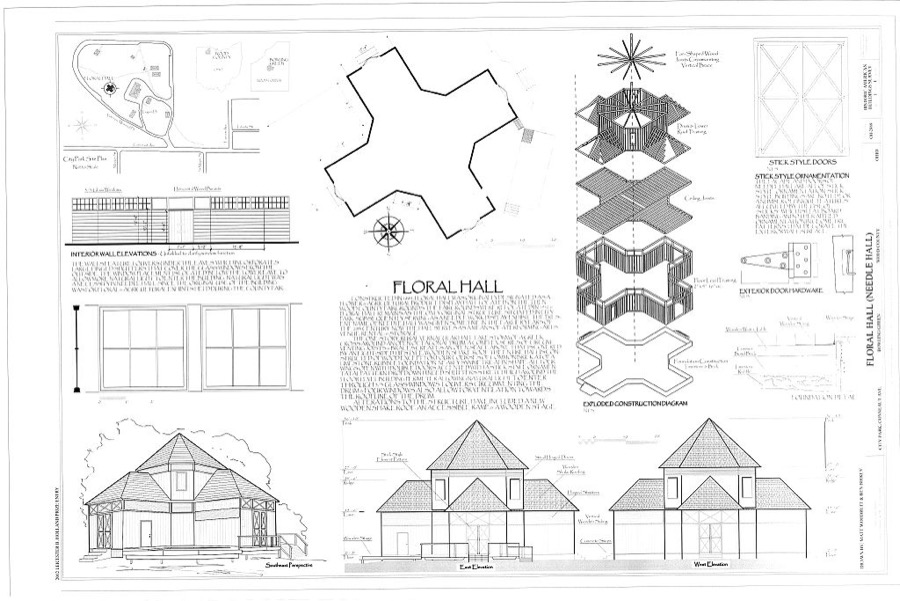
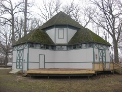
Floral Hall, City Park, Conneaut Avenue, Bowling Green, Wood County, OH Unattributed, . Library of Congress
Places on the National Register
21
Every property in this county listed on the
National Register of Historic Places, with the year it was listed and the
federal nomination document.
Wood County holds 0 covered bridges on
the National Register, more than any other property type here. Each is a listed
structure with a federal nomination on file.
Digitised newspapers
11 issues
Sampled issues, machine-read from the
Library of Congress scan and published page by page, so every headline
and column is searchable text.
The Perrysburg Journal
Perrysburg, Ohio, 1853 to 1861. Machine-read from the Library of Congress scan.
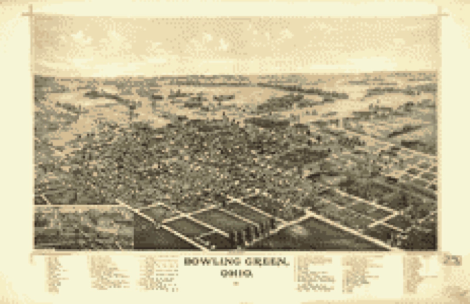
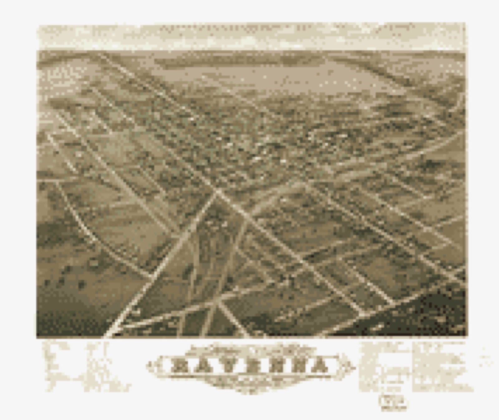
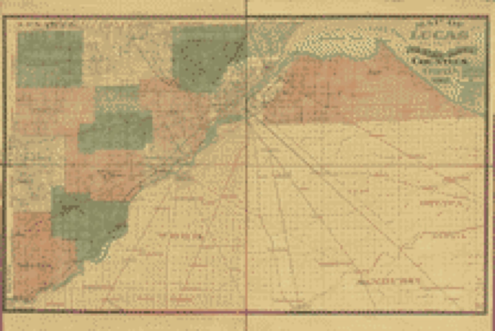
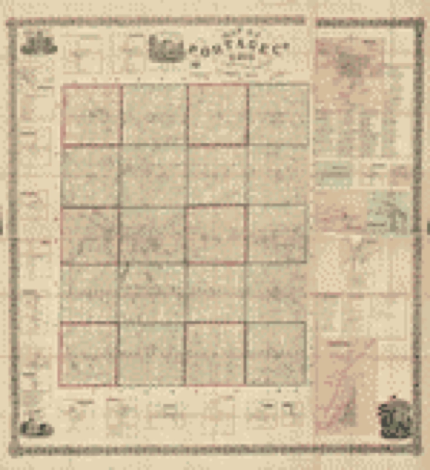
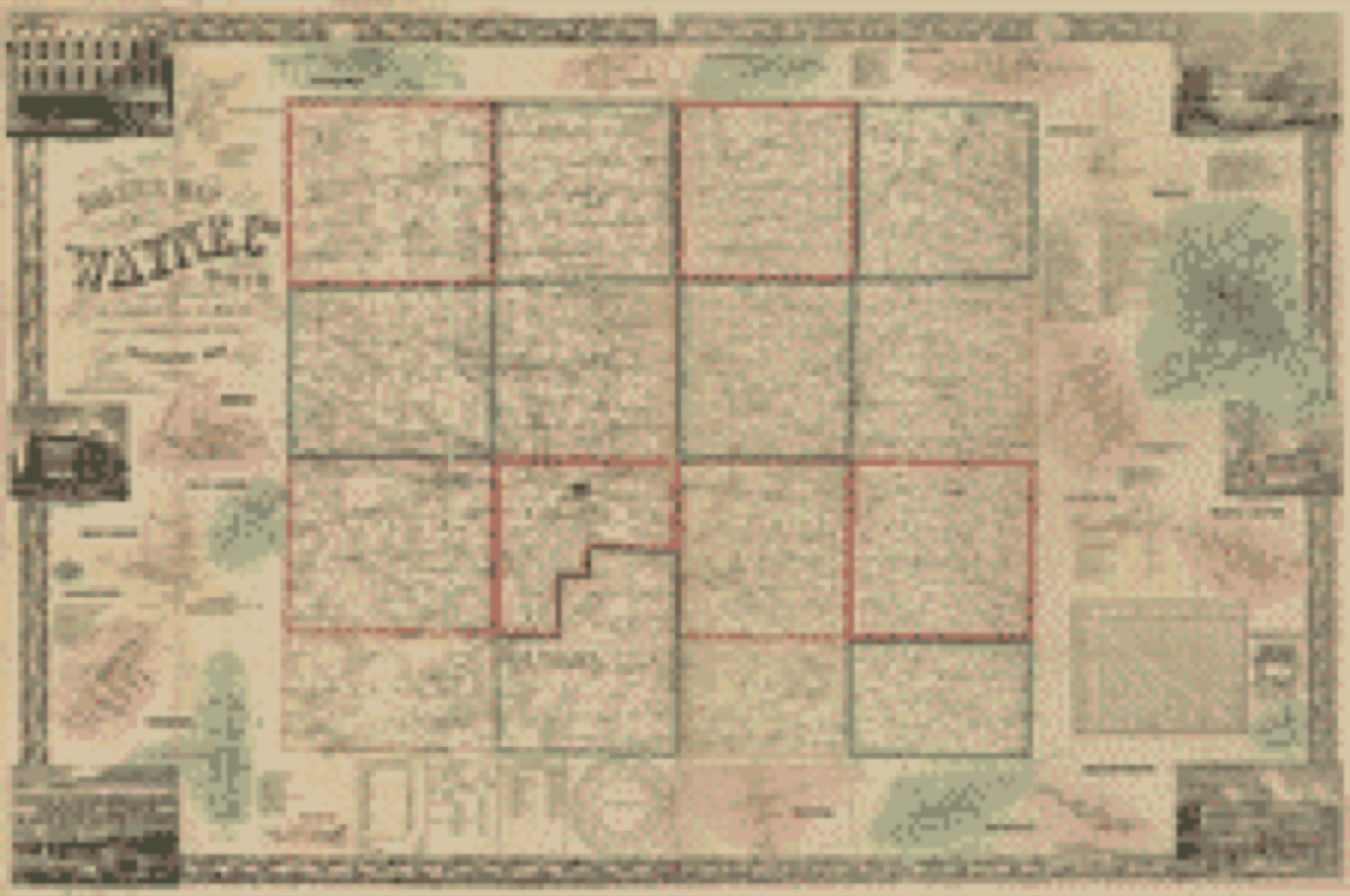
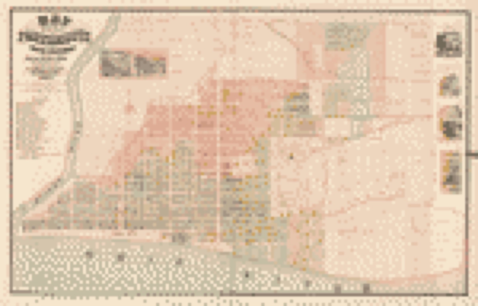
Drawn when these were printed as
single large sheets: the town seen from the air, and the county
divided into its farms with every owner named. Each opens the
original at the Library of Congress.
Bird's-eye view (1888) - Bowling Green, Ohio 1888. Library of Congress.Bird's-eye view (1883) - Bird's eye view of Garrettsville, Portage Co. Ohio 1883 : population 1100. Library of Congress.Bird's-eye view (1882) - Panoramic view of the city of Kent, Portage County, Ohio 1882. Library of Congress.Bird's-eye view (1882) - Panoramic view of the city of Ravenna, county seat of Portage Co., Ohio 1882. Library of Congress.Land ownership map (1912) - An atlas of Wood County, Ohio. Library of Congress.Land ownership map (1888) - Map of Lucas and parts of Wood, Ottawa and Sandusky Counties, Ohio. Library of Congress.Land ownership map (1857) - Map of Portage Co., Ohio. Library of Congress.Land ownership map (1856) - Baker's map of Wayne Co., Ohio. Library of Congress.Land ownership map (1868) - Map of the City of Portsmouth and Wayne Township, Scioto County, Ohio. Library of Congress.
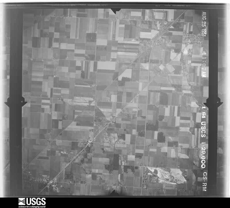
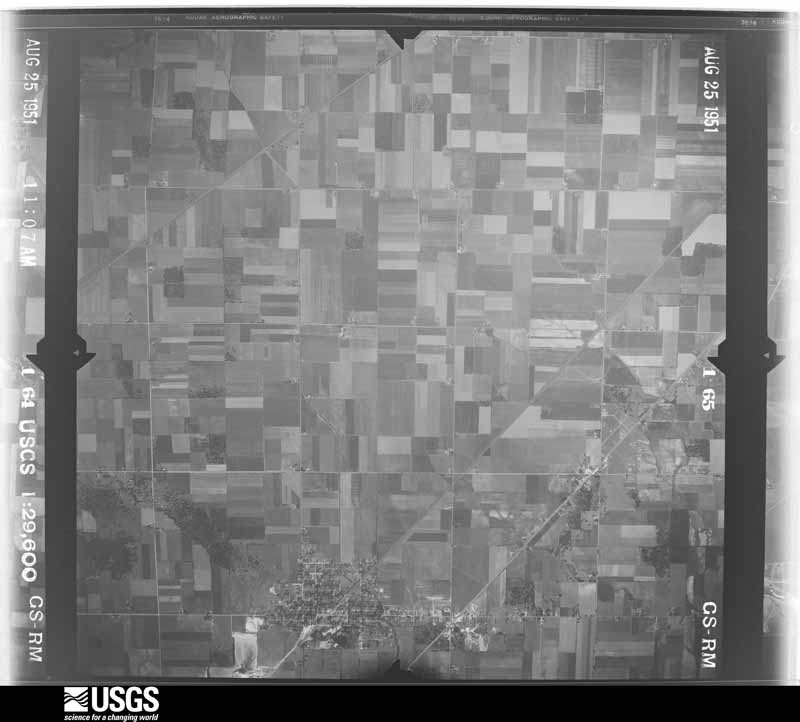
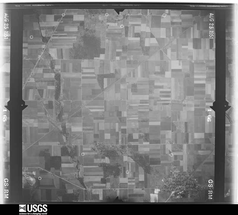
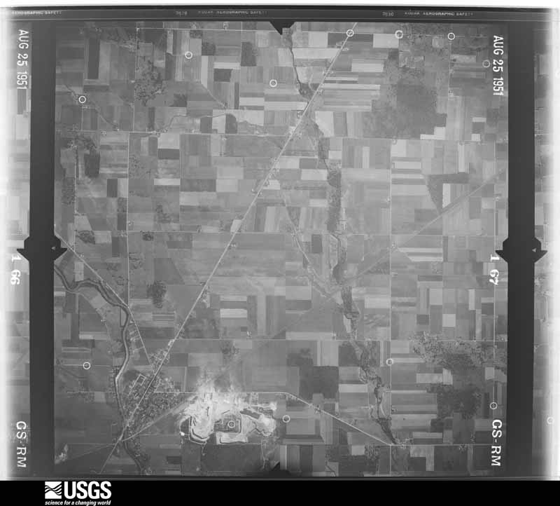
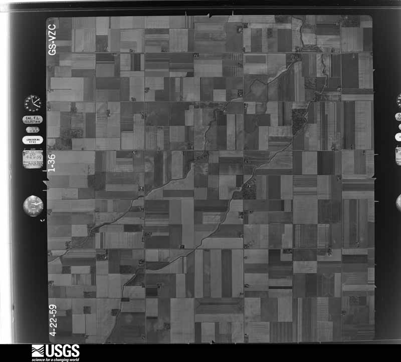
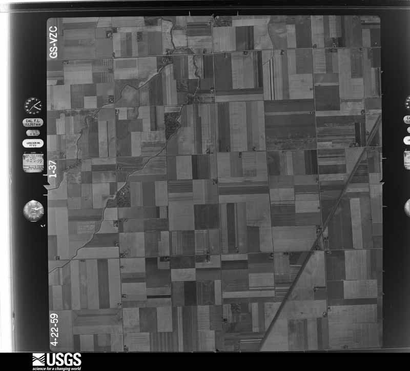
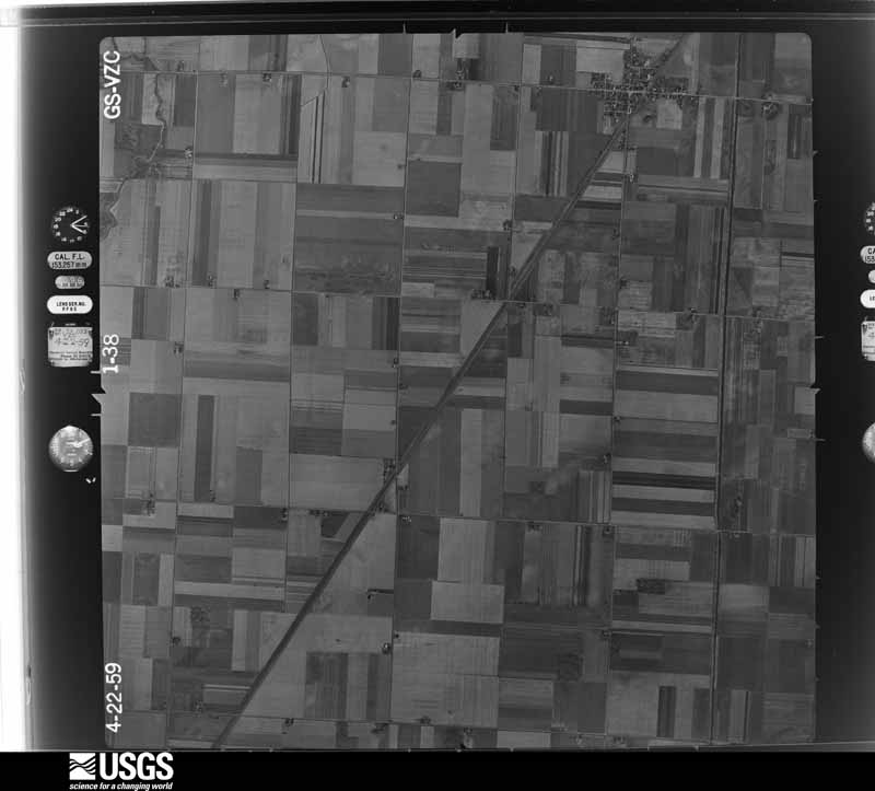
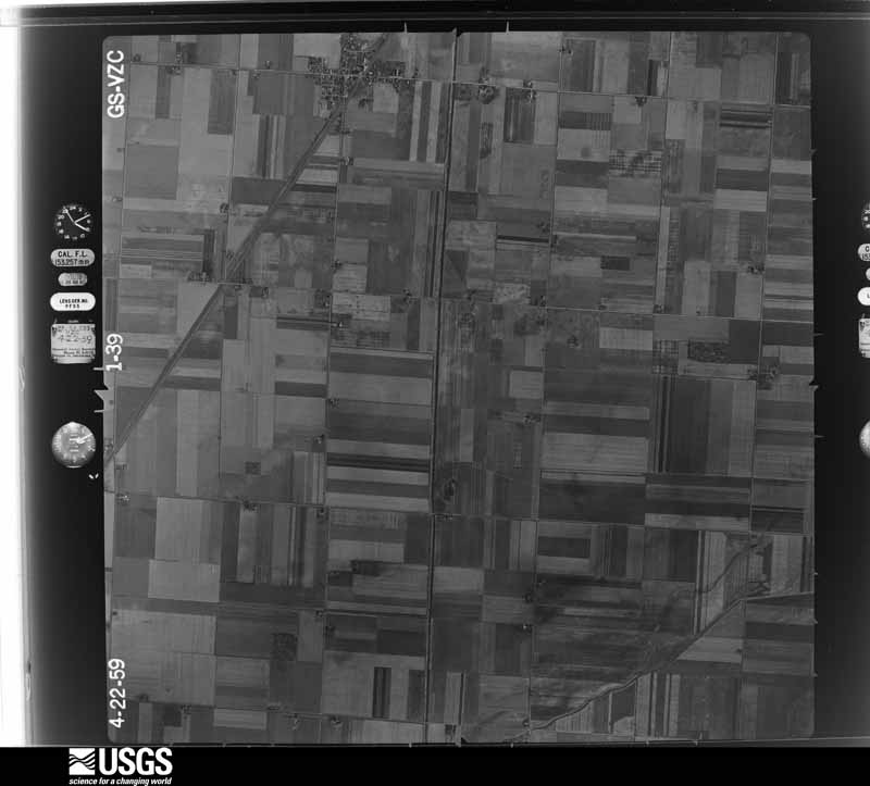
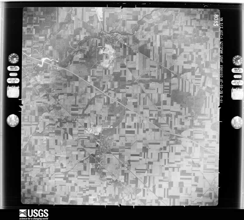
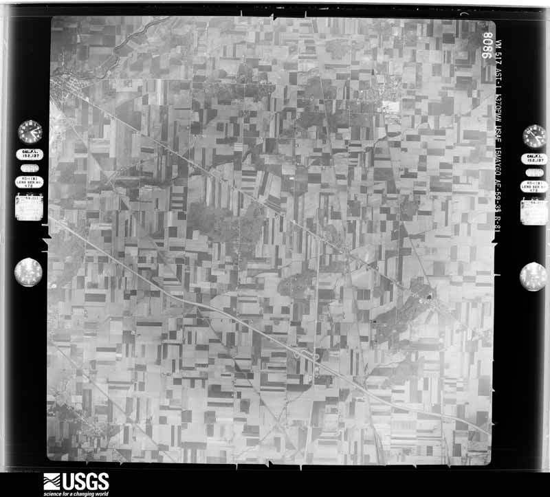
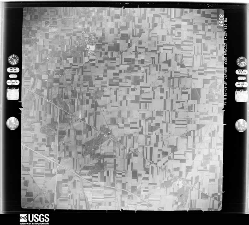
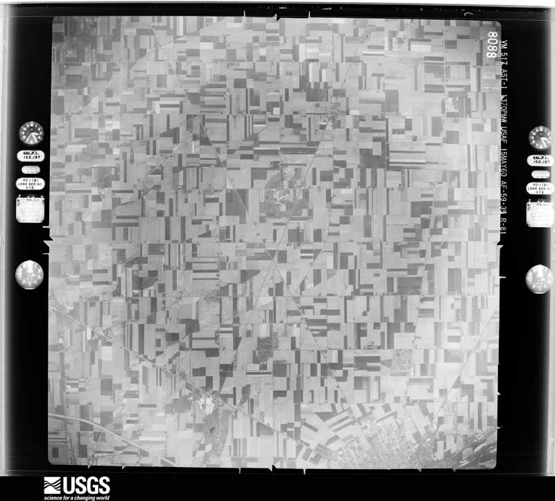
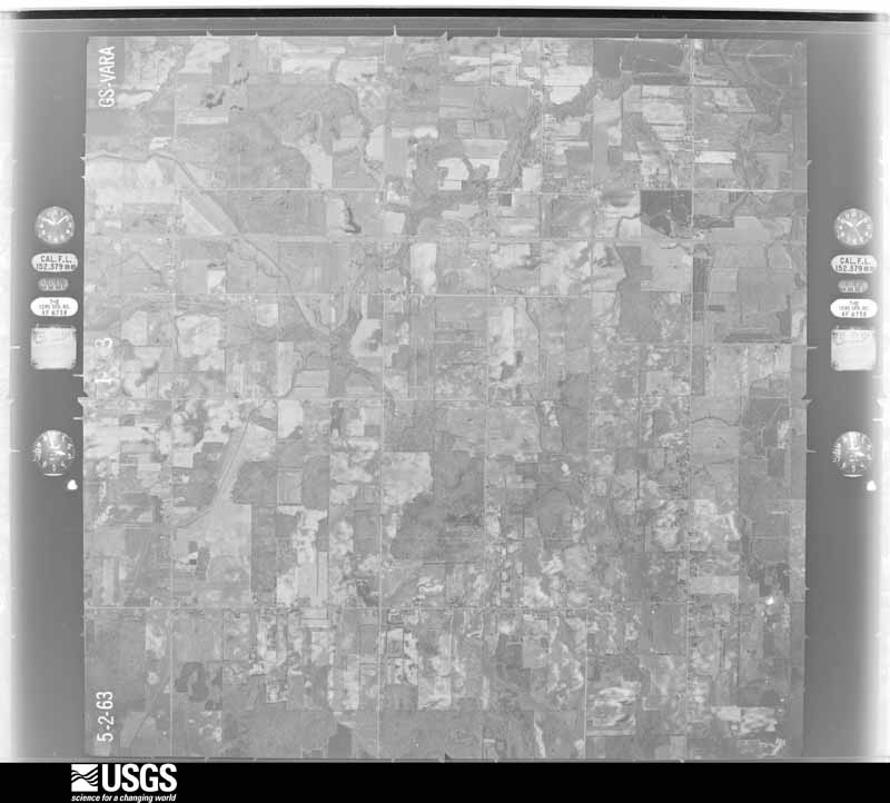
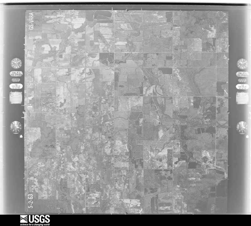
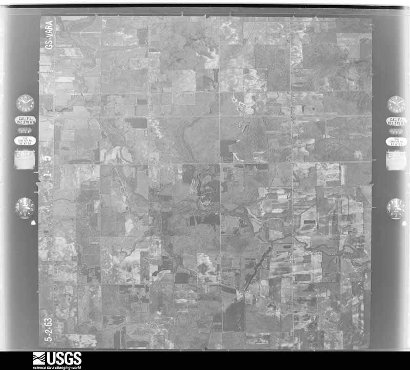
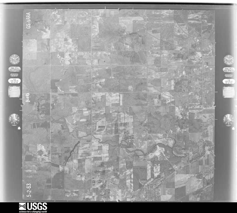
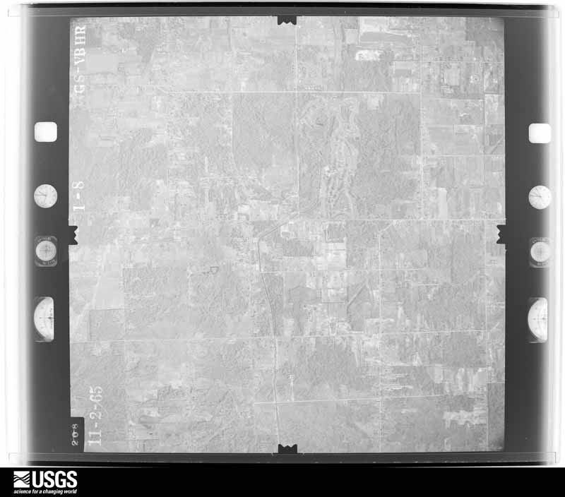
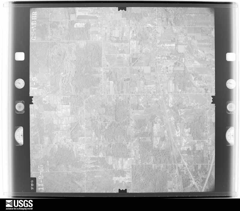
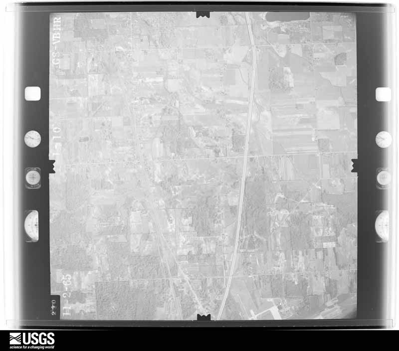
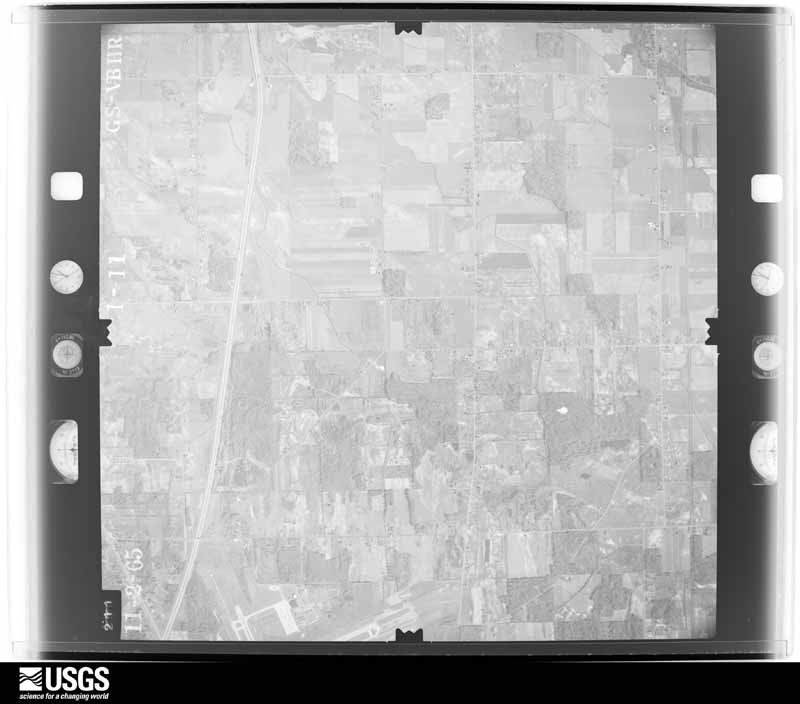
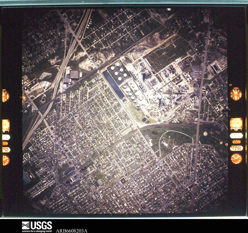
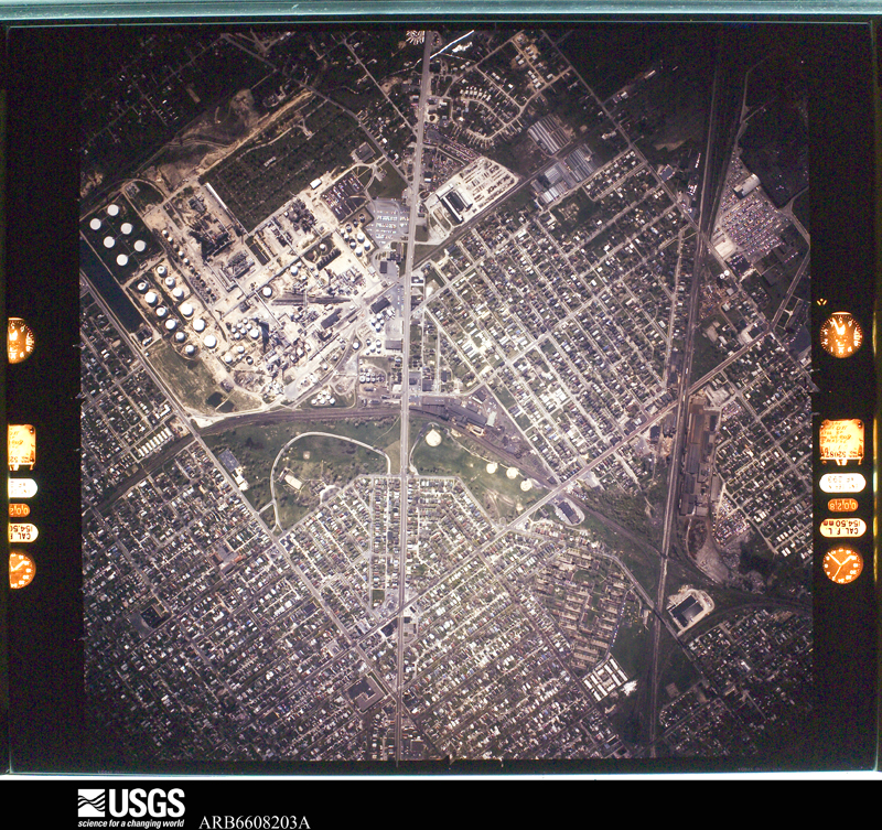
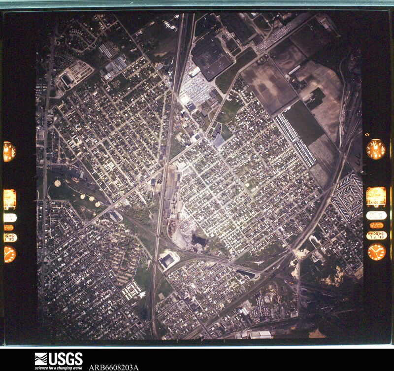
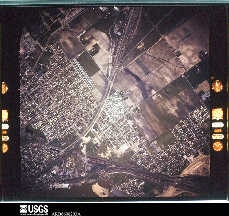
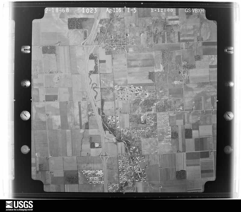
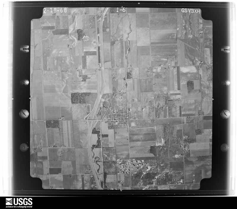
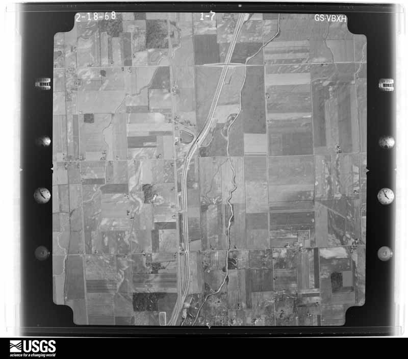
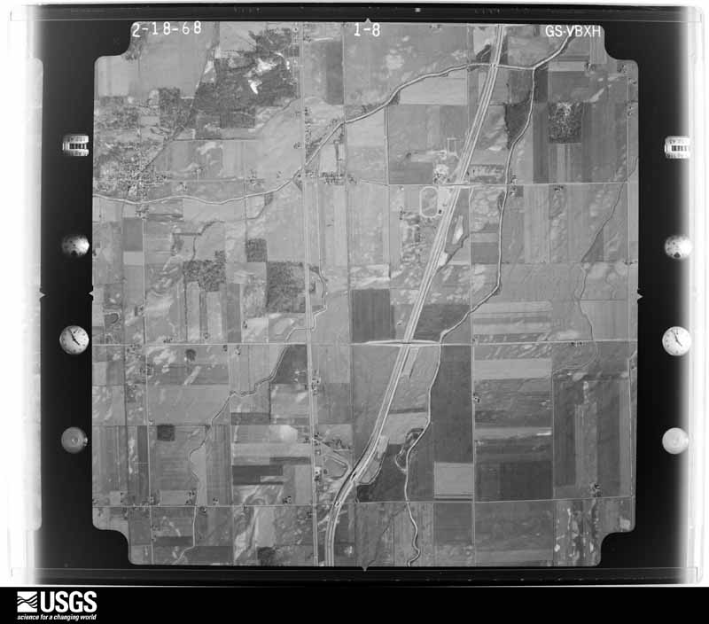
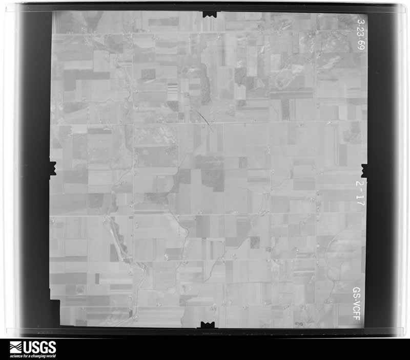
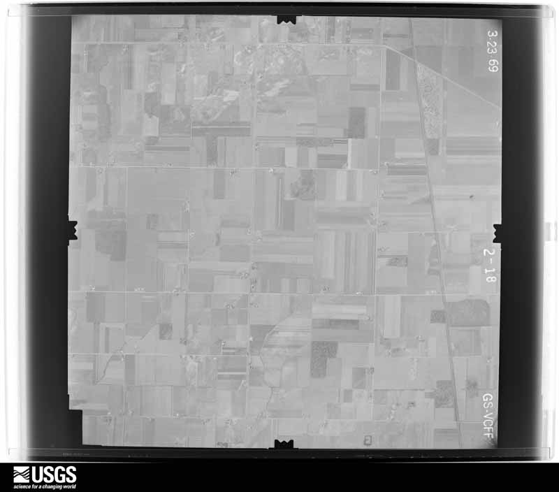
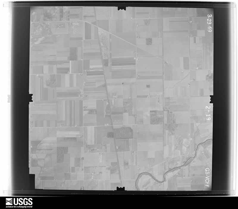
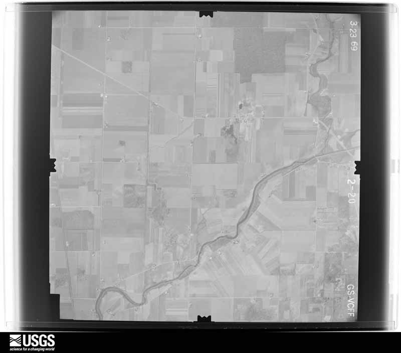
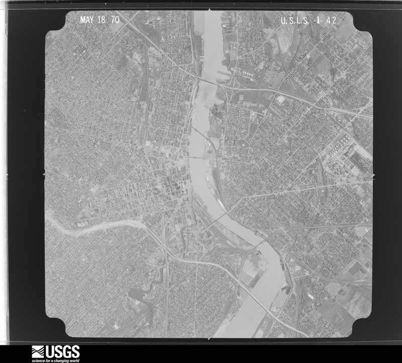
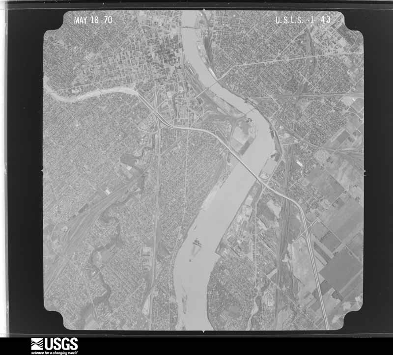
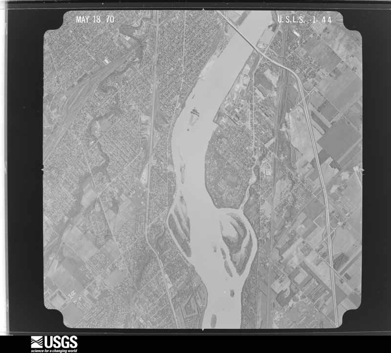
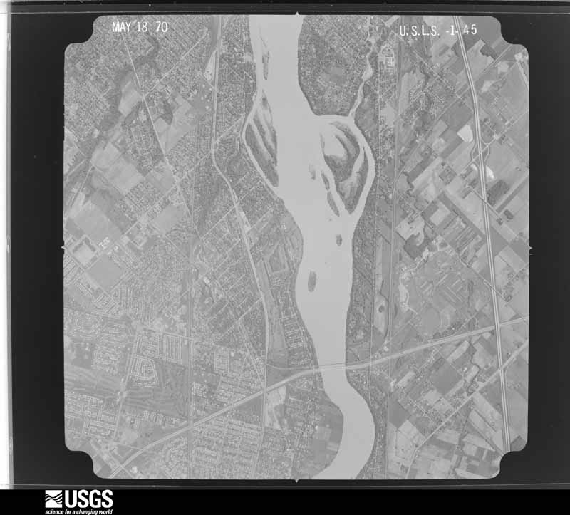
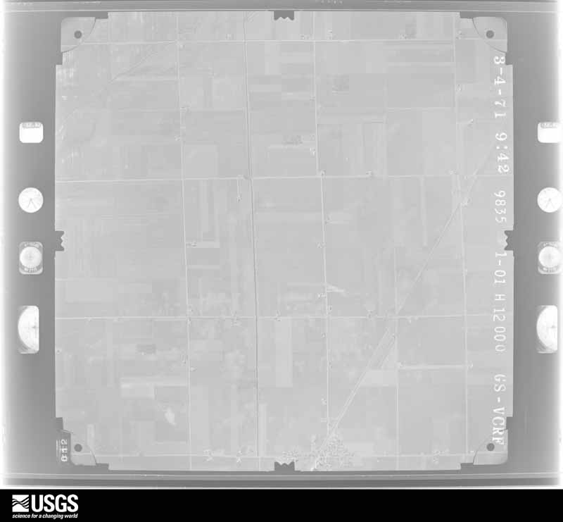
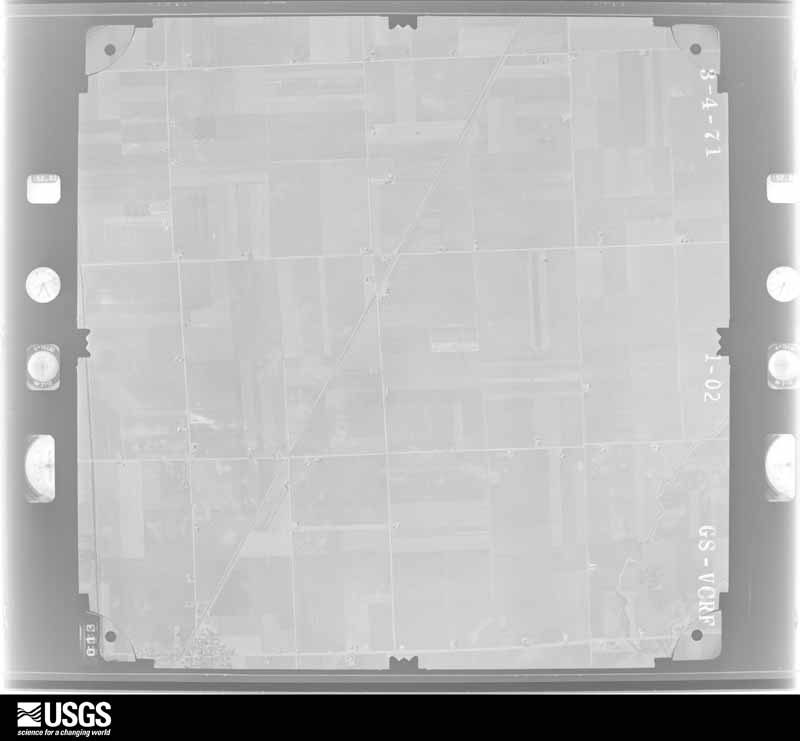
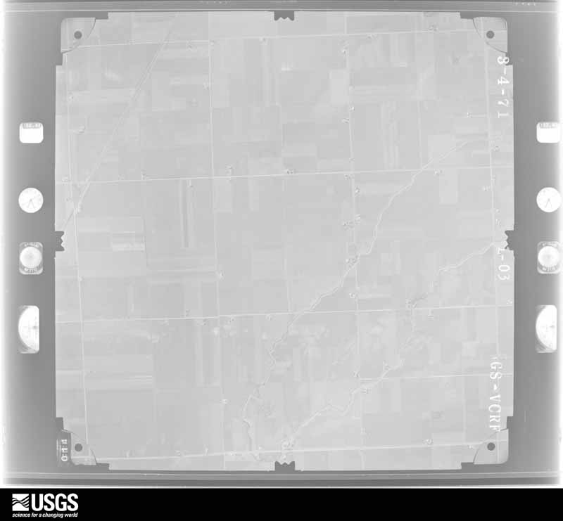
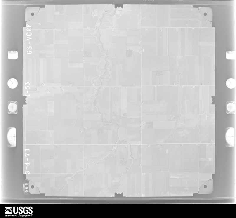
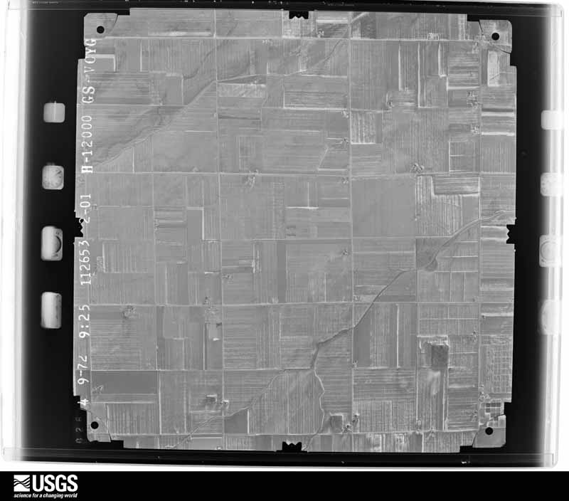
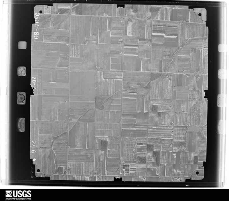
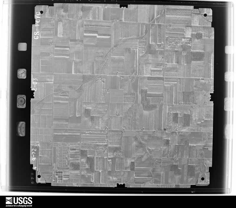
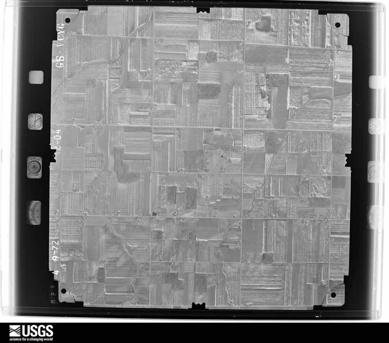
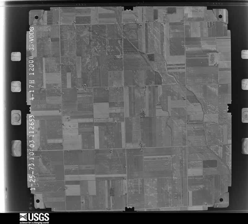
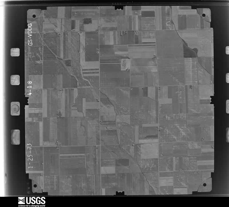
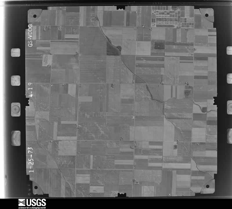
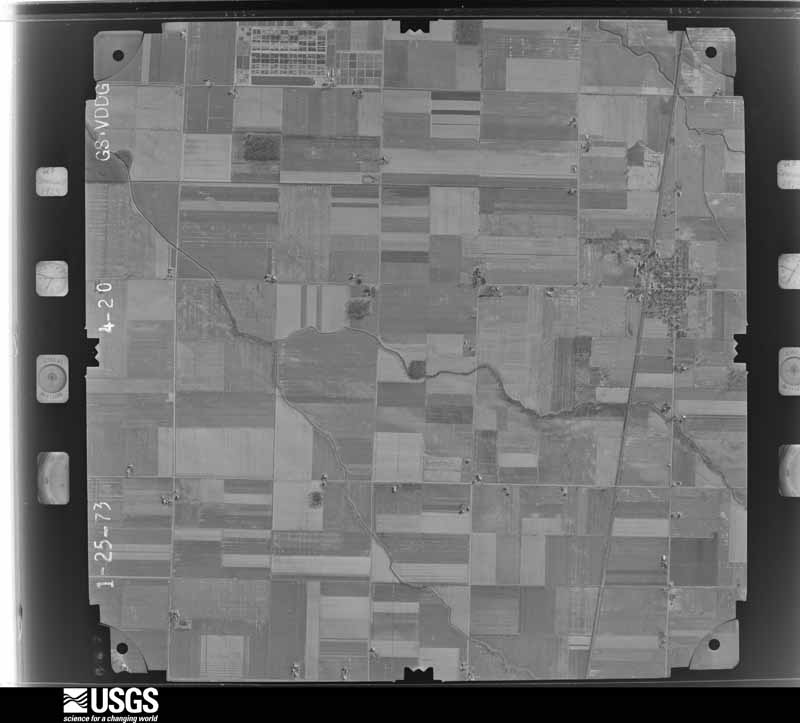
The county from the air
48 of 1,217 shown
Flown by the U.S. Geological Survey
between 1937 and 1989, the Aerial Photo Single Frames collection is
the definitive mid-century view of the land: fields, roads and rivers
as the camera saw them. 1,217 frames touch this county; the
selection below spreads across the decades of flights (at most four
per year), so one flight cannot crowd out the rest. The full set is
free to browse and download at
EarthExplorer under the dataset Aerial Photo Single
Frames.
1951-10-01, scale 1:29600. U.S. Geological Survey aerial photograph.1951-10-01, scale 1:29600. U.S. Geological Survey aerial photograph.1951-10-01, scale 1:29600. U.S. Geological Survey aerial photograph.1951-10-01, scale 1:29600. U.S. Geological Survey aerial photograph.1959-04-23, scale 1:24000. U.S. Geological Survey aerial photograph.1959-04-23, scale 1:24000. U.S. Geological Survey aerial photograph.1959-04-23, scale 1:24000. U.S. Geological Survey aerial photograph.1959-04-23, scale 1:24000. U.S. Geological Survey aerial photograph.1960-05-15, scale 1:60000. U.S. Geological Survey aerial photograph.1960-05-15, scale 1:60000. U.S. Geological Survey aerial photograph.1960-05-15, scale 1:60000. U.S. Geological Survey aerial photograph.1960-05-15, scale 1:60000. U.S. Geological Survey aerial photograph.1963-05-01, scale 1:24000. U.S. Geological Survey aerial photograph.1963-05-01, scale 1:24000. U.S. Geological Survey aerial photograph.1963-05-01, scale 1:24000. U.S. Geological Survey aerial photograph.1963-05-01, scale 1:24000. U.S. Geological Survey aerial photograph.1965-11-01, scale 1:24000. U.S. Geological Survey aerial photograph.1965-11-01, scale 1:24000. U.S. Geological Survey aerial photograph.1965-11-01, scale 1:24000. U.S. Geological Survey aerial photograph.1965-11-01, scale 1:24000. U.S. Geological Survey aerial photograph.1966-05-05, scale 1:10830. U.S. Geological Survey aerial photograph.1966-05-05, scale 1:10842. U.S. Geological Survey aerial photograph.1966-05-05, scale 1:10842. U.S. Geological Survey aerial photograph.1966-05-05, scale 1:10842. U.S. Geological Survey aerial photograph.1968-03-01, scale 1:24000. U.S. Geological Survey aerial photograph.1968-03-01, scale 1:24000. U.S. Geological Survey aerial photograph.1968-03-01, scale 1:24000. U.S. Geological Survey aerial photograph.1968-03-01, scale 1:24000. U.S. Geological Survey aerial photograph.1969-03-01, scale 1:24000. U.S. Geological Survey aerial photograph.1969-03-01, scale 1:24000. U.S. Geological Survey aerial photograph.1969-03-01, scale 1:24000. U.S. Geological Survey aerial photograph.1969-03-01, scale 1:24000. U.S. Geological Survey aerial photograph.1970-05-21, scale 1:30000. U.S. Geological Survey aerial photograph.1970-05-21, scale 1:30000. U.S. Geological Survey aerial photograph.1970-05-21, scale 1:30000. U.S. Geological Survey aerial photograph.1970-05-21, scale 1:30000. U.S. Geological Survey aerial photograph.1971-04-01, scale 1:24000. U.S. Geological Survey aerial photograph.1971-04-01, scale 1:24000. U.S. Geological Survey aerial photograph.1971-04-01, scale 1:24000. U.S. Geological Survey aerial photograph.1971-04-01, scale 1:24000. U.S. Geological Survey aerial photograph.1972-05-05, scale 1:24000. U.S. Geological Survey aerial photograph.1972-05-05, scale 1:24000. U.S. Geological Survey aerial photograph.1972-05-05, scale 1:24000. U.S. Geological Survey aerial photograph.1972-05-05, scale 1:24000. U.S. Geological Survey aerial photograph.1973-04-23, scale 1:24000. U.S. Geological Survey aerial photograph.1973-04-23, scale 1:24000. U.S. Geological Survey aerial photograph.1973-04-23, scale 1:24000. U.S. Geological Survey aerial photograph.1973-04-23, scale 1:24000. U.S. Geological Survey aerial photograph.
City directories
4 volumes
The "who lived here, by year" answer:
pre-1929 public-domain directory volumes naming the county's people,
machine-read and searchable as text.
The Village, 188910,250 entries, machine-read (94% measured quality)
Weather records
28 stations, 27 gages
The thermometers that kept this
county's weather, and the gages that watched its rivers, as the
federal records hold them. The extremes below are measured values
from those records, not estimates.
Who lived here in 1950, one enumeration
district at a time, as the Census Bureau described each district.
Each row opens its official National Archives result, with Population
Schedules and ED Maps available there.
87-1Jerry City village, comprising parts of Bloom and Portage townships: Jerry City village - That part in Bloom township
87-2Jerry City village - That part in Portage township
87-3Bloom township, outside Jerry City village: Bairdstown village
87-6Bloom township - That part outside Bairdstown, Bloomdale, Cygnet and Jerry City villages (Remainder of Bloom township is in Jerry City village)
87-7CBowling Green city - That part of Ward 1 in Center township Bounded by Court, Wayne, Ridge; City limits; Wooster; New York Central Railroad
87-7BBowling Green city - That part of Ward 1 in Center township Bounded by Ridge; Wayne; Court; New York Central Railroad
87-7ABowling Green city - That part of Ward 1 in Center township Bounded by City limits; City limits; Ridge; New York Central Railroad
87-8Bowling Green city - That part of Ward 1, in Center township Bounded by City limits; New York Central Railroad; Merry Ave.; Main, State Hwy. 68
87-9Bowling Green city - That part of Ward 1, in Center township Bounded by Merry Ave.; New York Central Railroad; Wooster; Main
87-10Bowling Green city - That part of Ward 2, in Center township Bounded by Wooster; City limits; City limits; New York Central Railroad
87-11Bowling Green city - That part of Ward 2, in Center township Bounded by Wooster; New York Central Railroad; Lehman; Main
87-12Bowling Green city - That part of Ward 2, in Center township Bounded by Lehman; New York Central Railroad; City limits; State Hwy. 68, Main
87-13Bowling Green city - That part of Ward 3, in Plain township Bounded by U.S. Hwy. 6, Wooster; Main; Ordway Ave., Baltimore and Ohio Railroad, Pearl; City limits
87-14Bowling Green city - That part of Ward 3, in Plain township Bounded by Pearl, Baltimore and Ohio Railroad, Ordway Ave.; Main, State Hwy. 68; City limits; City limits
87-15Bowling Green city - That part of Ward 4, in Plain township Bounded by City limits; State Hwy. 68, Main; Merry Ave. Fairview Ave., Conneaut Ave., Baltimore and Ohio Railroad; City limits
87-16Bowling Green city - That part of Ward 4, in Plain township Bounded by Merry Ave.; Main; Wooster; Baltimore and Ohio Railroad, Conneaut Ave., Fairview Ave.
87-17Bowling Green city - That part of Ward 4, in Plain township Bounded by Baltimore and Ohio Railroad; Baltimore and Ohio Railroad; Wooster, U.S. Hwy. 6; City limits
87-18ACenter township - That part Bounded by Township line; Township line; Newton Rd., Dunbridge Rd., Nims Rd.; Township line
87-18BCenter township - That part outside Bowling Green city Bounded by Nims Rd., Dunbridge Rd., Newton Rd.; Township line, Branch of Portage River; U.S. Hwy. 6; City limits, Township line 20
87-19Center township - That part south of U.S. Hwy. 6 and east of Branch of Portage River, outside Bowling Green city (Remainder of Center township is in Bowling Green city)
87-20Freedom township: Pemberville village: Pemberville village - That part northwest of State Hwy. 105
87-21Pemberville village - That part southeast of State Hwy. 105
87-22Freedom township - That part outside Pemberville village
87-23Grand Rapids township: Grand Rapids village: Grand Rapids village, excluding Nazareth Hall Military School
87-24Nazareth Hall Military School (In Grand Rapids village)
87-25Grand Rapids township - That part outside Grand Rapids village
87-26Henry township: North Baltimore village: North Baltimore village - That part Bounded by Village limits; Village limits; Baltimore and Ohio Railroad; Main
87-27North Baltimore village - That part Bounded by Village limits; Main; Baltimore and Ohio Railroad; Village limits
87-28North Baltimore village - That part Bounded by Baltimore and Ohio Railroad; Tarr, High, Main; Village limits; Village limits
87-29North Baltimore village - That part Bounded by Baltimore and Ohio Railroad; Village limits; Village limits; Main, High, Tarr
87-30Henry township - That part outside North Baltimore village
87-35Lake township - That part Bounded by Township line; County line, Millbury village limits, County line; Township line; Pennsylvania Railroad, Lemoyne Rd., Walbridge Rd., State Hwy. 120
87-36Lake township - That part Bounded by Township line; State Hwy 120, Walbridge Rd., Lemoyne Rd., Pennsylvania Railroad, Ayers Rd., Luckey - Walbridge Rd., Walbridge village limits, Stalker Rd., Isch Rd., Luckey - Walbridge Rd.; Martin Rd., (State Hwy. 795), East Broadway (State Hwy. 795), Indiana Rd. (State Hwy. 795); Township line
87-37Lake township - That part Bounded by Walbridge village limits Luckey - Walbridge Rd., Ayers Rd.; Pennsylvania Railroad, Lemoyne Rd.; Martin Rd. (State Hwy. 795); Luckey - Walbridge Rd., Isch Rd., Stalker Rd.
87-38Lake township - That part Bounded by State Hwy. 795, Lemoyne Rd.; Pennsylvania Railroad; Township line; Township line
87-39Portage village, comprising parts of Liberty and Portage townships: Portage village - That part in Liberty township
87-40Portage village - That part in Portage township
87-41Liberty township - That part outside Portage village (Remainder of Liberty township is in Portage village)
87-52Perry township - That part outside West Millgrove village
87-53Perrysburg township: Perrysburg village: Perrysburg village - That part Bounded by Village limits; Village limits; Indiana Ave.; Louisiana Ave.
87-54Perrysburg village - That part Bounded by Village limits; Louisiana Ave.; Indiana Ave.; Pine
87-55Perrysburg village - That part Bounded by Village limits; Pine; Village limits; Village limits
87-56Perrysburg village - That part Bounded by Indiana Ave.; Louisiana Ave.; Village limits; Pine
87-57Perrysburg village - That part Bounded by Indiana Ave.; Village limits; Village limits; Louisiana Ave.
87-58APerrysburg township - That part north of State Hwy. 795 and east of U.S. Hwy. 68, outside Perrysburg village, and excluding Rossford Ordnance Depot
87-59Rossford Ordnance Depot (In Perrysburg township)
87-60Perrysburg township - That part northeast of U.S. Hwy. 20 and south of State Hwy. 795, outside Perrysburg village
87-61Perrysburg township - That part southwest of U. S. Hwy. 20, outside Perrysburg village
87-62Plain township - That part outside Bowling Green city (Remainder of Plain township is in Bowling Green city)
87-63Portage township - That part outside Jerry City and Portage villages (Remainder of Portage township is in Jerry City and Portage villages
87-64Ross township: Ross township - That part Bounded by Township line; County line; Township line; Woodville Rd., (State Hwy. 120), Hanson, Wise, Lemoyne Rd. Curtis Rd., Coy Rd.
87-65Ross township - That part Bounded by Wise; Hanson; Woodville Rd. (State Hwy. 120); Lemoyne Rd.
87-66Ross township - That part Bounded by Township line; Norcoss Dr.; Rawson; Droullard
87-67Ross township - That part Bounded by Toledo city limits; Chesapeake and Ohio Railway; Property line of Libby - Owens - Ford Plant; East Broadway
87-68Ross township - That part Bounded by Toledo city limits; Tracy; Wales Rd.; Oregon Rd., Baltimore and Ohio Railroad, Rossford village limits
87-69Ross township - Outside Area A, including that part of Grassy Island in this township and all other islands in this enumeration district Bounded by Baltimore and Ohio Railroad, Oregon Rd., Wales Rd., Tracy, Toledo city limits, East Broadway, Property line of Libby - Owens - Ford Plant, Chesapeake and Ohio Railway, County line, Droullard, Rawson, Norcross Dr., County line; Coy Rd. , Curtis Rd., Lemoyne Rd., Woodville Rd., (State Hiyy. 120); Township line; Rossford village limits (See Enumeration District map for boundaries of Area A)
87-70Ross township - That part comprising Area A Bounded by Curtis Rd.; Bihl Ave. Woodville Rd. (State Hwy. 102), Harding Ave., Goodrich Ave., Eggleston Rd.; Oram Rd., Royal Ave., Woodville Rd. (State Hwy. 102)
87-71Rossford township, coextensive with Rossford village: Rossford village - That part Bounded by Village limits; Village limits; Village limits; Chestnut, State Hwy. 65
87-72Rossford village - That part Bounded by Village limits; State Hwy. 65; Eagle Point Rd.; Jennings
87-73Rossford village - That part Bounded by Village limits; Jennings; Eagle Point Rd.; Village limits
87-74Rossford village - That part Bounded by Eagle Point Rd.; State Hwy. 65; Village limits; Village limits
87-75Rossford village - That part Bounded by State Hwy. 65; Chestnut; Village limits; State Hwy. 65
87-76ALuckey village - That part Bounded by Main, Property line Toledo Edison Railway, Village limits; Village limits; Village limits; Village limits
87-76BLuckey village - That part Bounded by Village limits; Property line Toledo Edison Railway; Main; Village limits
87-77Troy township - That part outside Luckey village
87-82Weston township - That part outside Weston village
Businesses named in the atlases
63 businesses
Every Sanborn volume opens with a printed index
naming the town's mills, tanneries, hotels and works by proprietor. Those
indexes were read off the scanned sheets by machine and then matched to each
other, so a business surveyed four times appears here once, with the years it
survived. 11 of these 63 were named in more than one atlas. Each carries a
crop of the line it was read from: the spelling is the recogniser's and the
1880s lithographer's, and the scan behind it is the proof.
Every wildfire the federal occurrence
database records inside this county: 16 of them, burning about
32 acres. 0 started naturally and 0 were
recorded as arson. Each settlement page carries the fires within five
miles of it.
Reported cause
Fires
Debris and open burning
5
Recreation and ceremony
4
Equipment and vehicle use
2
Missing data/not specified/undetermined
2
Power generation/transmission/distribution
2
Smoking
1
The five largest, by the area the report
gives. None of them was recorded as arson.
Date
Cause
Size
Reported by
Name on the report
8 March 2016
Debris and open burning
10 acres
Ohio Department of Natural Resources
3646
18 October 2002
Recreation and ceremony
5.0 acres
Ohio State Fire Marshal's Office
not named
31 October 2002
Equipment and vehicle use
4.0 acres
Ohio State Fire Marshal's Office
not named
31 August 2002
Equipment and vehicle use
4.0 acres
Ohio State Fire Marshal's Office
not named
30 March 2015
Debris and open burning
2.0 acres
Ohio Department of Natural Resources
663
18 November 2015
Debris and open burning
2.0 acres
Ohio Department of Natural Resources
2647
3 May 2015
Missing data/not specified/undetermined
1.2 acres
Ohio Department of Natural Resources
1162
12 June 2002
Recreation and ceremony
1.0 acres
Ohio State Fire Marshal's Office
not named
Every settlement page carries the fires within five
miles of it - see the settlement index below.
Storms, 1953 to
2026
60 of 512 shown
The
NOAA Storm Events Database holds
512 reports for this county, causing 11 deaths,
109 injuries and about $147,320,700 in recorded property damage.
Each settlement page carries the reports that name it.
Kind of event
Reports
Thunderstorm Wind
302
Hail
145
Tornado
28
Flash Flood
15
Flood
12
Lightning
6
Funnel Cloud
2
Heavy Rain
1
Winter Weather
1
The most serious of them, by death, then
injury, then recorded damage. The accounts are quoted exactly as the
forecast office filed them.
A devastating tornado moved across portions of northern Wood County during the late evening hours of June 5th. The tornado reached a peak intensity of EF4 and was responsible for the deaths of seven people. Five of the victims died immediately with the other two passing away from their injuries at later dates. The initial touchdown occurred east of Perrysburg along Oregon Road just to the north of the Ohio Turnpike. The tornado then moved east northeast toward Toledo Metcalf Field as an EF0 to EF1. The tornado intensified to an EF2 as it crossed East Broadway Street. Over two dozen homes in a neighborhood bordered by East Broadway to the west and State Route 795 to the north and east were heavily damaged or destroyed. The worst of the damage was along Shawnee and Neill Avenues in this neighborhood. The tornado then crossed State Route 795 and followed the highway toward Metcalf Field. The tornado intensified to EF3 at that time. Several homes along Moline-Martin Road were destroyed between State Route 795 and Metcalf Field. An occupant of one of the homes, an 87 year old man, was injured by the tornado and later died. As the tornado approached Metcalf Field it crossed a railroad yard and overturned a couple dozen railroad cars. The tornado then moved across the southern end of the airport grounds and destroyed the Lake Township Administrative and Police Department building located just northwest of the intersection of Cummings Road and State Route 795. A 20 year old female was killed by the tornado just outside of the police department. She had left her vehicle along with her boyfriend and child to seek refuge in the police station. She was caught outside and was reportedly killed by flying debris. At the police station, the tornado destroyed at least six police vehicles and one emergency response vehicle. The emergency response vehicle was found over 1000 feet away from its original position. One police vehicle was found wrapped around a large tree. After doing extensive damage to an agricultural business, the tornado struck the Lake Local School District complex along State Route 795 and Lemoyne Road. Lake High School took a direct hit from the tornado and was damaged enough to be considered destroyed. The nearby middle and elementary schools sustained considerable roof damage. The high school gymnasium was scheduled to hold a commencement ceremony for the graduating senior class on June 6th. Large sections of the gymnasium collapsed. A field house, cafeteria and auditorium adjacent to the high school were destroyed. At least eight school buses were overturned and destroyed by the tornado. The tornado continued to move parallel to and just north of State Route 795 at EF3 intensity. A 56 year old female was killed by flying debris while driving her car on State Route 795 near the school complex. The woman's daughters were following in another car which was also destroyed. The daughters both sustained minor injuries. The tornado continued east northeast and crossed Interstate 280 just north of the State Route 795 interchange before moving across open fields for about a mile. The tornado may have briefly weakened to EF2 intensity, but then strengthened back to EF3 intensity as it crossed Bradner Road to the west of Millbury. The tornado destroyed several homes in a neighborhood bordered by Bradner Road to the west and Cherry Street to the south. A 47 year old man was killed in house on Case Road in this neighborhood. The man's daughter was the valedictorian of the graduating senior class at Lake High School which was destroyed by the tornado. The tornado then intensified to EF4 as it approached Main Street on the north side of Millbury. Over a dozen homes were destroyed or heavily damaged along Main Street. A 36 year old woman and her four year old son were killed in one of the destroyed homes on Main Street. The woman's 37 year old husband died on June 12th from injuries sustained from the tornado. Several more homes were destroyed or heavily damaged on Hille Drive and Woodville Road before the tornado crossed North Fostoria Road and moved into Ottawa County as a weak EF3 or strong EF2 tornado. This tornado was on the ground for around six and a half miles in Wood County and destroyed or heavily damaged over 60 homes. Dozens of additional homes sustained minor damage with another couple hundred homes affected by the storm. Dozens of vehicles were also destroyed. Hundreds of trees were toppled or snapped by the tornado along the damage path which was up to 400 yards in width. The tornado debarked some of the larger trees along the damage path. At least one high tension utility pole was toppled by the tornado and widespread power outages occurred in Millbury and Walbridge. Damage to the Lake Township infrastructure was estimated at five million dollars with tens of millions of losses to the Lake Local School District. The exact number of injuries caused by this tornado is unknown, but at least 17 people had to be hospitalized in nearby Toledo. Debris from this tornado has been found dozens of miles away, including on some of the islands in western Lake Erie.
Lightning stuck a tree at a golf course in Bowling Green causing the tree to fall and land on a golf cart. A person riding on the golf cart was pinned and had to be cut out. The person was transported to a hospital for treatment of their injuries.
A severe thunderstorm with winds estimated to be at least 75 mph caused extensive damage at the Wood County Airport in Bowling Green. One hangar was completely destroyed and another was heavily damaged. The two hangars stored around eighteen airplanes, twelve of which were completely destroyed. Two flatbed trailers parked near the airport were thrown into an adjacent playground and destroyed.
A line of severe thunderstorms moved across Wood County and caused widespread damage and power outages. A 101 mph wind gust was measured at the Bowling Green Airport at approximately 3:55 p.m. The airport, located on the northeast side of town, was very hard hit. The terminal building lost a large section of roof with three nearby hangers heavily damaged. A total of 17 aircraft were either damaged or destroyed. Four buildings at the Bowling Green State University were damaged by the strong winds. Signs and a press box on the campus were also toppled. Many other homes and buildings, including a city garage, were damaged. Hundreds of trees and limbs were downed and many streets had to closed because of debris. Dozens of vehicles sustained varying amounts of damage.
An EF0 tornado touched down near Lime City Road just to the north of U.S. Route 20 in Perrysburg. The tornado continued east northeast reaching EF2 intensity as it neared the intersection of State Route 795 and Oregon Road. Two warehouse buildings had walls blown down and lost large sections of roofing. A gas station at the intersection of State Route 795 and Oregon Road was heavily damaged. Several vehicles at the gas station were damaged. Other businesses in the immediate vicinity also sustained roof damage. After causing extensive damage to a couple homes in a residential neighborhood just north of State Route 795, the tornado weakened to EF0 intensity. It then remained on the ground as either an EF0 or EF1 tornado for another four and half miles before moving into Lucas County near Northwood. It damaged several more homes and some apartment buildings before entering Lucas County. Most of this damage was from lost roofing and siding. Dozens of trees were downed along the damage path which was just over seven miles long and up to a 100 yards in width in Wood County. Many vehicles including a couple of recreational vehicles were damaged by the strong winds or flying debris.
Hail as large as softballs and shaped at times like candy bars fell at Tontogany for approximately ten minutes. Damage was extensive with 160 of the 200 homes in the village sustaining damage. Most of the damage was from broken windows, but over 100 hundred homes had holes knocked into exterior walls by hailstones driven by winds estimated at 50 to 60 mph. Most of this damage occurred on west facing walls. Several dozens cars and eight school buses were caught outside and had windows shattered and metal dented. The local high school had several dozen windows broken. The broken windows allowed heavy thunderstorm rains to seep inside. The rain water damaged and destroyed books, computers and other equipment inside. Outside the school, a press box at an athletic field was damaged and a chimney toppled. Valuable stained glass windows in a local church were also broken. Four trucks from the local fire department were caught outside and suffered extensive damage. Several large wheat fields near the village were shredded with a near 100 percent crop loss.
A tornado touched down southwest of Jerry City and then moved northeast for approximately four and a half miles before dissipating. Seven homes sustained varying degrees of roof damage and three garages were destroyed on the southwest side of Jerry City. To the northeast a few hundred yards, the city maintenance garage was leveled. As the tornado exited Jerry City, it knocked a house off of it's foundation. From Jerry City, the tornado moved northeast across open farmland and destroyed a large barn as it crossed Huffman Road. A home on Bloomdale Road was slightly damaged with the tornado finally lifting near Reynolds Road just north of State Route 281. Several vehicles were destroyed by this tornado and hundreds of trees downed along the damage path which was no more than 50 yards in width.
Thunderstorms dumped locally heavy rains on much of Wood County during the evening hours of June 21st. The heaviest rains fell on the northern two tiers of townships. Spotters in Haskins measured 4.5 inches of rain with 4.0 inches recorded in Perrysburg and 2.50 inches at North Baltimore. Most of this rain fell between 7 and 9 p.m. Significant street and lowland flooding was reported in the Perrysburg and Lake Township areas. Several roads had to be closed because of flood waters over two feet deep. Further south, nuisance flooding occurred in and around Bowling Green. At least three buildings on the Bowling Green State University campus sustained flood damage. Hundreds of homes in the county experienced basement flooding.
Thunderstorms dumped heavy rains on portions of Wood County. 2.38 inches of rain was measured in Bowling Green with just over 3 inches in Cygnet. Urban and lowland flooding occurred throughout the county with the east side of Bowling Green seeing the worst flooding. Extensive flooding occurred on the Bowling Green State University campus with water up to three feet deep at some locations. The Quail Hollow subdivision also experienced a lot of flooding with water over 18 inches deep outside of many homes. Many streets and roads had to be closed and several vehicles became stranded in the flood waters. Dozens of homes in the county experienced basement flooding.
Hail to tennis ball size fell for several minutes and accumulated on the ground to a depth of over six inches at some locations. The hail plugged many storm sewers causing water to back up into the basements of several homes. Dozens of vehicles and many homes were damaged and hundreds of trees were completely stripped of leaves.
An EF1 tornado touched downed in rural Wood County near the intersection of Portage and Emerson Roads in Montgomery Township. The tornado traveled north northeast approximately two and a half miles before lifting near the intersection of Kenner Road and U.S. Route 6 near New Rochester. Five barns were leveled along the damage path which had a maximum width of around 100 yards. Several homes along the damage path also sustained roof damage. Two grain bins were also destroyed. Many trees and limbs were downed along the damage path.
A line of severe thunderstorms moved across Wood County and caused widespread damage and power outages. The most significant damage occurred in the central portion of the county, but Bradner, Tontogany and Grand Rapids were also very hard hit. A few homes were damaged in Grand Rapids and a garage was leveled in Tontogany by winds estimated to be in excess of 75 mph. Several trees and large limbs were downed in the county and crop losses were significant.
Straight line thunderstorm winds caused considerable damage across Wood County. Several homes and a garage were damaged in Tontogany. The Weston area was also hard hit. Several homes were damaged, a car was destroyed and 26 power poles were toppled on the northwest side of the town. Over a dozen trees were downed in Haskins and a semi truck was blown over on Interstate 75 near State Route 582. Scattered trees were also reported down elsewhere across the county.
Thunderstorm winds downed dozens of trees and 35 power poles in the county. North Baltimore was hardest hit with 20 power poles and over a dozen trees downed. Several homes and cars were severely damaged in North Baltimore. Trees and poles were also blown down in Cygnet, Rudolf, Rossford and Bradner.
A tornado touched down in a wooded area between Main Street and Hille Drive. The tornado then traveled northeast for approximately one half mile before dissipating along Fostoria Road just north of State Route 51. A home on Emily Drive lost it's entire roof and had a wall collapse. Four other homes in the area lost sections of roof. Around a dozen trees were toppled along the damage path which was less then 25 yards in width.
Thunderstorm downburst winds estimated to be at least 60 mph caused damage throughout northern Wood County. Damage was reported from the Grand Rapids area northeast across Perrysburg Township to near Millbury in the northeast corner of the county. Several barns and outbuildings were damaged in the Dowling area and a mobile home in Millbury was heavily damaged. Several homes south of Perrysburg sustained damage from fallen trees. At least one home in Rossford also sustained damage. Hundreds of trees and limbs along with a few utility poles were downed across northern Wood County. Scattered power outages were reported.
The Maumee River flooded it's banks in the city of Grand Rapids in late June due to several days of heavy rain across the entire Maumee Basin. The river crested at 19.2 feet in moderate flood stage around 8 pm on the 29th. Several businesses in downtown Grand Rapids were inundated with a few inches of water. West, Beach, and Front Streets were the most impacted. Grand Rapids Chamber of Commerce said of this flooding that this was the most significant non-winter flood event Grand Rapids has ever experienced.
A trained spotter measured a 65 mph thunderstorm wind gust. Dozens of trees were toppled or snapped and three semi trucks were blown over on Interstate 75 just south of U.S. Route 6. No injuries were reported.
Thunderstorm downburst winds estimated to be as much as 70 mph caused considerable damage in Perrysburg. Dozens of trees and at least three utility poles were toppled. A few homes were damaged by fallen trees. Scattered power outages were reported.
Thunderstorm winds blew over two fully loaded semi trucks six miles east of Perrysburg near the intersection of Interstates 80/90 and 280. Both trucks were severely damaged. The roof of a large building nearby was also torn off.
A tornado touched down a few miles west of Pemberville along State Route 105 and near the north branch of the Portage River. The tornado moved in a west to east direction for several hundred yards along the river. The observed damage path was approximately 25 yards in width. The roofs of two businesses were torn off by the tornado. One of the roofs landed 500 feet away from the building it came from. Many trees were blown down and several signs were sucked out of the ground. One home was damaged by a fallen tree and a second tree crushed a nearby car. A small stretch of the Portage River was clogged with fallen trees.
An EF1 tornado touched down east of Jerry City near the intersection of Main Street and Huffman Road. The tornado then continued east for around one and a third miles and lifted after crossing Cloverdale Road. A mobile home along Main Street was destroyed and a couple of other homes and buildings in the area lost roofing and siding. Damage along the remainder of the damage path consisted of mainly downed trees. The parent thunderstorm responsible for this tornado earlier produced a tornado near North Baltimore.
Thunderstorm downburst winds downed dozens of trees along the Wood and Sandusky County line. In one area, a 300 yard long row of trees was completely flattened.
Dozens of trees were downed across Wood County. A few of the trees damaged homes. A tree punctured the roof of a home on Euler Road west of Bowling Green.
A tornado touched down about a mile west of Custar and then traveled east. The tornado lifted as it entered the west end of Custar. Some trees were toppled along the damage path and two homes and a garage in Custar sustained roof damage. Damaging straight line winds accompanied the tornado and downed trees elsewhere in Custar. The tornado had a damage path nearly a mile in length and up to 50 yards in width. This tornado was rated an EF0.
A supercell thunderstorm tracked across Wood County, producing substantial damage. Downburst winds caused significant damage at an area farm. The tin roof covering the feedlot and livestock area was peeled off. A few outbuildings on the property were destroyed. No livestock were injured or killed during this event. Portions of the roof, covering one barn on the property, were ripped off as well. Another barn on the property was reportedly destroyed. Several large trees were uprooted on the property. The residence sustained damage as a result of the uprooted trees. The property owner estimated the damage to be around $20,000. Elsewhere, numerous reports of uprooted trees and overturned recreational vehicles in the area were recorded. There were no reports of injuries during this downburst wind event.
A line of severe thunderstorms moved across Wood County and downed dozens of trees. Scattered power outages were also reported. A 67 mph wind gust was measured at the Bowling Green water treatment plant. A few homes and vehicles were damaged by fallen trees and flying debris.
Thunderstorm winds estimated to be in excess of 60 mph blew a semi truck over on Interstate 75 ten miles north of Bowling Green. A car was also damaged.
A small tornado touched down just north of Hoytville on Needles Road and damaged two mobile homes. Both mobile homes suffered structural damage and were knocked off foundations. After traveling approximately 100 yards on the ground the tornado lifted back into the sky and then traveled northeast approximately three and one half miles as a funnel cloud. A second brief tornado touchdown occurred three miles northwest of New Baltimore near the intersection of Hammansburg and Wingston Roads. An old mobile home was destroyed at that location.
The Portage River came within 0.3 feet of major flood stage at the Woodville gauge at 2 PM on June 3rd. Roads southwest of Pemberville were closed, and water spilled out of its banks into houses and properties on Water and Bridge Streets, and completely flooded the parking lot in the downtown businesses of Pemberville. Downstream (east of Pemberville), Elmore Road was closed, and water was inches away from spilling over Bradner Road, which is normally used as a detour around Elmore Road. In Sandusky County, State Route 105 and Fort Findlay Road were inundated with feet of water just east of U.S. Route 23, closing both roads at those locations. Just outside of Woodville, west of State Route 582, backflow from a ditch flooded a ravine, and covered State Route 105 with a couple inches of standing water, but the road was not closed. In Woodville, flooding was less extensive from a residential standpoint than in Pemberville. Trail Marker Park was inundated with feet of water, and Cherry Street was closed, but only about 4 homes were impacted, in comparison to the 10-15 impacted in Pemberville, as the floodplain in Woodville is less developed.
Numerous trees and power lines were reported down from North Baltimore east to the northwest side of Fostoria. Several power poles were snapped northwest of Fostoria, and a barn was damaged along State Route 199.
Heavy thunderstorm rain caused the Rocky Ford to overflow its banks. Some businesses incurred water damage, as well as numerous homes. Homes in the nearby town of Bloomdale also experienced flooding.
Members of the public estimated wind gusts in excess of 70 mph west of Bowling Green. Many trees were downed from strong thunderstorm winds throughout Bowling Green and south to Portage. At least two of the trees fell on homes.
The Survey's mineral resources record
lists 4 workings inside this county. 4 still
produce and 0 are closed or unrecorded. Each settlement
page carries the workings within five miles of it.
Commodity
Workings
Stone, Crushed/Broken
4
The least common of them first, because a
county's hundredth gravel pit says nothing its first ten did not.
Museum specimens collected inside this
county and catalogued with a date and a place: 1,736 of them, by
kingdom 1,611 animalia, 88 plantae, 33 fungi, 2 chromista, 2 unrecorded. Each is a physical object in a named collection, not a
sighting. Held by Ohio State University - Fish Division, Columbus, OH (OSUM), MSU, UMMZ, Ohio State University - Bird Division, Columbus, OH (OSUM), CM, USNM among others, and each settlement page carries
the specimens collected near it.
The oldest of them. A specimen proves
something was collected on that day; its absence proves nothing.
Commemorative Historical and Biographical Record of Wood County, Ohio; Its Past and Present devotes a chapter to each township:
its boundaries and streams, who settled it and when, the mills, the
schools and the churches. All 7 are reproduced here in full. Each row
shows the township's own shape and where it lies in the county, drawn from
the Census Bureau's boundary. Which settlements belong to which township
is computed from that same boundary, not taken from the book.
Everyone Commemorative Historical and Biographical Record of Wood County, Ohio; Its Past and Present stops to write about, with
the section that describes them. Among them are the men who founded the
place and governed the Territory. Each name opens the passage itself, in
the words of 1897.
Named settlements recorded in the Geographic Names
Information System, each with the topographic sheets covering it. Villages,
hamlets and abandoned places alike. Each is shown with the watercourse or
landform it stands on and the survey quadrangle it falls on. The 6
places that were also surveyed for fire insurance come first, with the
number of atlases and photographs held for them.
The complete index, with nothing left out.
Each of these is a separate record with its own page: a federal survey
report, or the case file that argued a property on to the National
Register. Both are public domain and reproduced word for word.
Topographic sheets. USGS Historical Topographic Map Collection, county index, measured from the bulk metadata.
Fire insurance maps. Library of Congress Sanborn collection, faceted to this county.
Photographs. Each place queried individually against the Library of Congress Prints and Photographs search.
Wildfire. Short, Karen C. 2022. Spatial wildfire occurrence data for the United States, 1992-2020 [FPA_FOD_20221014]. 6th Edition. Fort Collins, CO: Forest Service Research Data Archive. https://doi.org/10.2737/RDS-2013-0009.6 Collected with United States Government funding and usable without additional permissions or fees.
Specimens. Global Biodiversity Information Facility (GBIF), https://www.gbif.org/. Only records licensed CC0 or CC BY are used. Records licensed CC BY-NC are excluded because this site carries advertising. Images are checked individually and any whose licence is non-commercial, no-derivatives or unreadable is refused.
Mines and quarries. USGS Mineral Resources Data System (MRDS) https://mrdata.usgs.gov/mrds/ A work of the United States government, no copyright under 17 U.S.C. 105.
Storms. NOAA National Centers for Environmental Information, Storm Events Database https://www.ncei.noaa.gov/stormevents/ A work of the United States government, no copyright under 17 U.S.C. 105. Narratives are quoted verbatim from the National Weather Service report and are not edited or summarised.
 Block
Block