 Block
Block
Maynard, Ohio
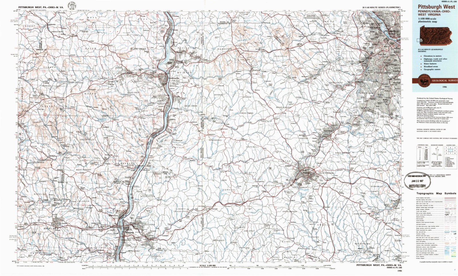
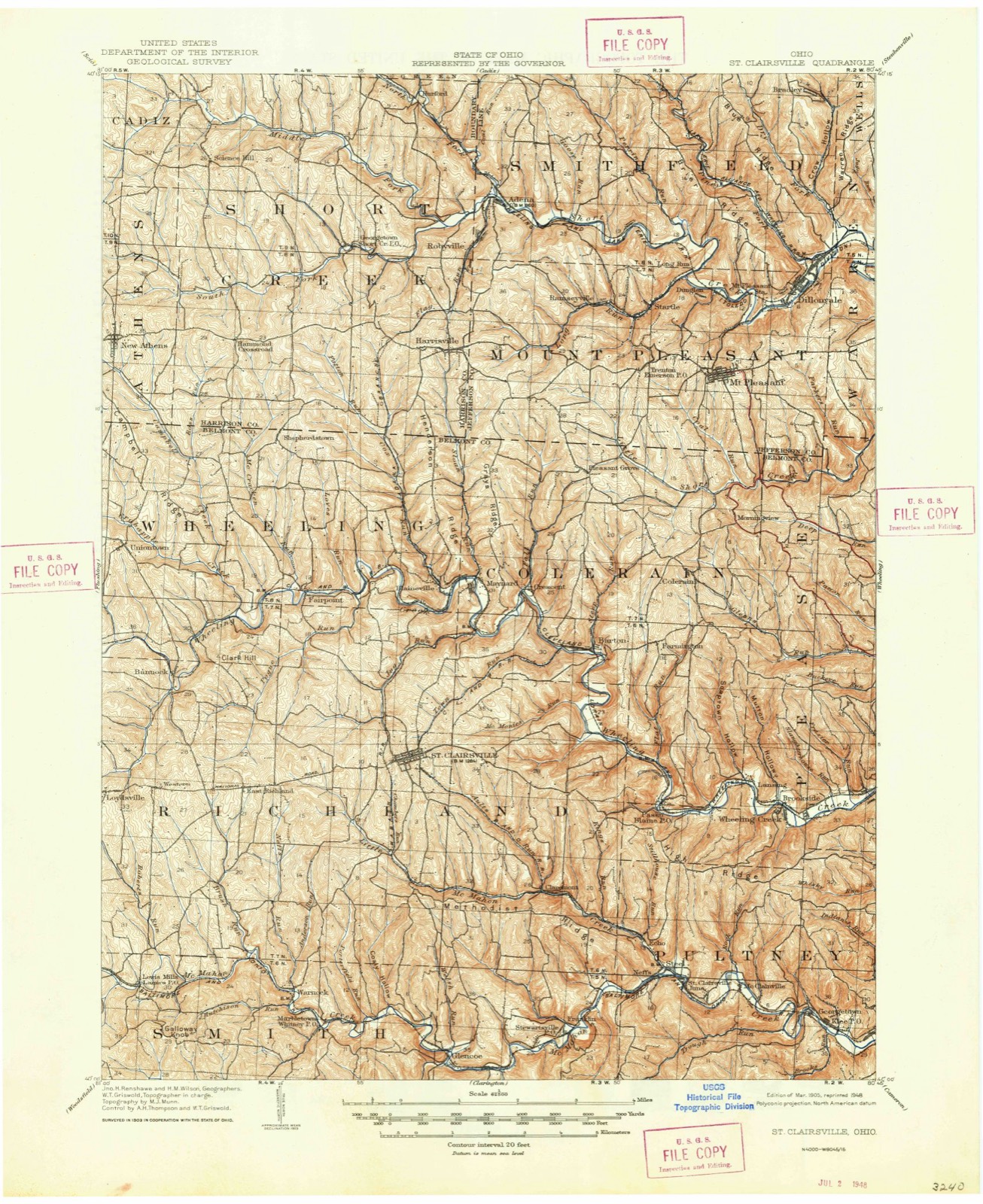
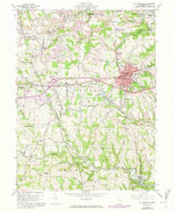
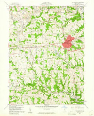
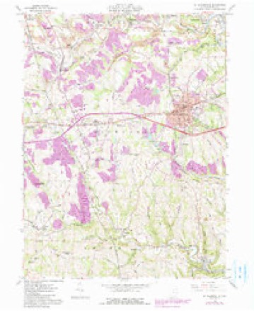
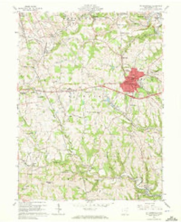
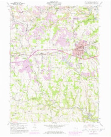
17 topographic sheets cover this place, the earliest surveyed in 1905 and the latest in 1986. It stands in Colerain Township. It lies in ZIP code area 43950. It stands on Sloan Run. The Survey maps it on the Saint Clairsville quadrangle.
Then and now
1905 to 1986The same ground, surveyed 81 years apart. Drag the handle to wipe between them. Both sheets are United States Geological Survey originals; neither has been altered.
Compare 1905 against another survey:
Topographic sheets covering this place
17 sheetsMatched by testing this settlement's coordinate against the published boundary of every sheet in the United States Geological Survey's historical collection. Each opens the scanned sheet at the Survey.
- 1905 USGS St. Clairsville quadrangle1:62500
- 1905 USGS St. Clairsville quadrangle1:62500
- 1951 USGS Canton quadrangle1:250000
- 1953 USGS Canton quadrangle1:250000
- 1957 USGS Canton quadrangle1:250000
- 1957 USGS Canton quadrangle1:250000
- 1957 USGS Canton quadrangle1:250000
- 1960 USGS St. Clairsville quadrangle1:24000
- 1960 USGS St. Clairsville quadrangle1:24000
- 1960 USGS St. Clairsville quadrangle1:24000
- 1960 USGS St. Clairsville quadrangle1:24000
- 1960 USGS St. Clairsville quadrangle1:24000
- 1962 USGS Canton quadrangle1:250000
- 1962 USGS Canton quadrangle1:250000
- 1986 USGS Pittsburgh West quadrangle1:100000
- 1986 USGS Pittsburgh West quadrangle1:100000
- 1986 USGS Pittsburgh West quadrangle1:100000







In the county-history sources
5,147 words on this townshipCentennial History of Belmont County, Ohio, and Representative Citizens., published 1903 names this settlement in its chapter on Colerain Township. These are the passages that mention it, exactly as the scans read.
Colerain township was organized in 1808 and was named by Scotch-Irish citizens after a pretty little village in the north of Ireland, which the writer has visited, called Colerain, from the neighborhood of which the majority of these first settlers emigrated.
Passage source: Centennial History of Belmont County, Ohio, and Representative Citizens., published 1903.
The township contains 15,361 acres of fertile land, which is underlaid by a valuable vein of coal, that has proven a fertile source of income to the extensive mining companies now in operation at Barton, Maynard and Crescent, affording employment to hundreds of miners in these prosperous mining towns.
Passage source: Centennial History of Belmont County, Ohio, and Representative Citizens., published 1903.
Barton is a village of a few hundred inhabitants on the Cleveland, Lorain & Wheeling Railway, near the junction of the St. Clairsville branch. It sustains a school, two churches and post office. One of the churches is a branch of the Methodist Protestant with Rev. B. L. Murphy as pastor. The other as elsewhere stated is a Catholic Church, conducted by Rev. Mr. Weigand of Bridgeport. The school, which is largely attended, is conducted by Wilson Dungan assisted by Olive Mitchell. The population is largely mining and the new mines now being opened at Barton by the Osborn people will employ 800 men when they are in full operation. The tipple will he located up the Run about half a mile from the station and special tracks will have to be run to it. This will increase the population of Barton very greatly. The Maple Hill mines have already given contracts for 35 new houses for the use of the men and many more will be built in the near future.
Passage source: Centennial History of Belmont County, Ohio, and Representative Citizens., published 1903.
Machine-read from a century-old scan, so expect the errors a machine makes: misspelled names, dropped words, stray characters.
Read the whole chapter on Colerain Township - it names this place 6 more 6 times.
Fires near this place
15 since 2003Regional context, not property-specific evidence. The federal wildfire occurrence database lists 15 fires within 5 miles of Maynard between 2003 and 2020, burning about 19 acres in total. None started naturally. None was recorded as arson. Distance is straight-line from the map coordinates, so a fire counted here may appear on a neighbouring settlement's page as well.
| Reported cause | Fires |
|---|---|
| Debris and open burning | 10 |
| Missing data/not specified/undetermined | 4 |
| Equipment and vehicle use | 1 |
The most recent of them, most recent first, with the day each was reported and the service that recorded it.
| Date | Cause | Size | Reported by | Name on the report |
|---|---|---|---|---|
| 15 September 2019 | Debris and open burning | 1.2 acres | Ohio Department of Natural Resources | 15252 |
| 23 May 2017 | Debris and open burning | under an acre | Ohio Department of Natural Resources | 9667 |
| 14 April 2018 | Missing data/not specified/undetermined | 2.2 acres | Ohio Department of Natural Resources | 12685 |
| 12 April 2018 | Equipment and vehicle use | under an acre | Ohio Department of Natural Resources | 12065 |
| 8 March 2020 | Debris and open burning | 1.5 acres | Ohio Department of Natural Resources | 15448 |
| 28 March 2003 | Debris and open burning | under an acre | Ohio Department of Natural Resources | not named |
| 27 March 2003 | Debris and open burning | under an acre | Ohio Department of Natural Resources | not named |
| 27 February 2018 | Debris and open burning | under an acre | Ohio Department of Natural Resources | 11238 |
Settlements close enough to share some of these fires:
Specimens collected near this place
12 of 1,269 shownRegional context, not property-specific evidence. Museums hold 1,269 specimens collected within 10 miles of Maynard between 1800 and 1975: 1,020 Plantae, 124 Animalia, 123 Fungi, 2 Unrecorded. 12 distinct Species records are shown. Collected by A. D. Selby, A. D. Selby & E. L. Moseley, A. D. Selby & J. F. Hicks and others. Each is a physical object with a catalogue number, and each entry opens the museum's record. This is what was collected and kept, not a survey of what lives here - nothing can be concluded from a species being absent.
| Image | Species | Year | Collected by | Where, as recorded |
|---|---|---|---|---|
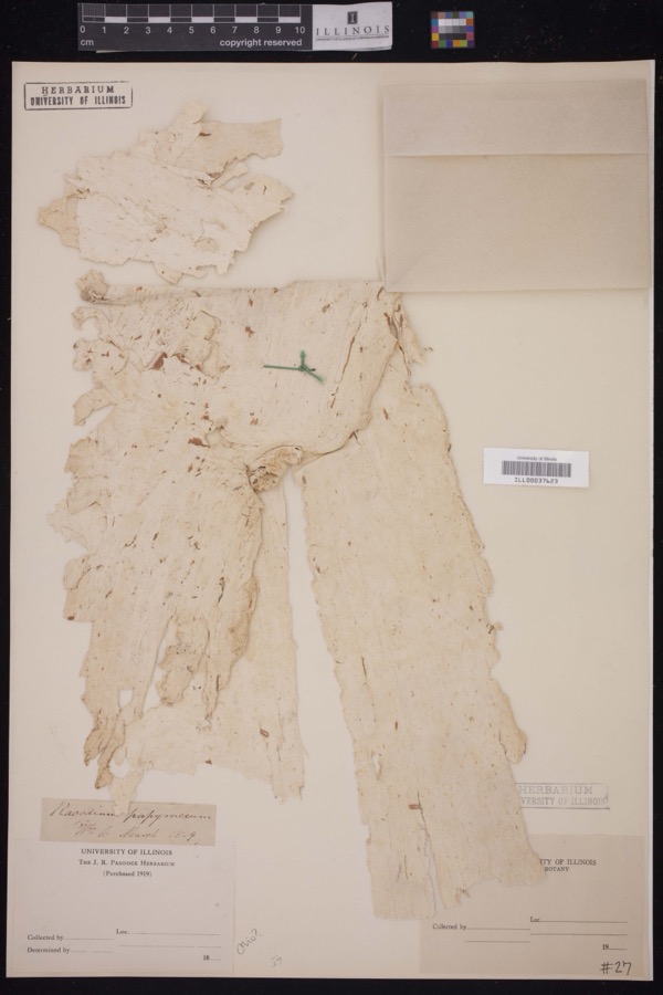 | Racodium E.M.Fries, 1829 | 1829 | J.R. Paddock | |
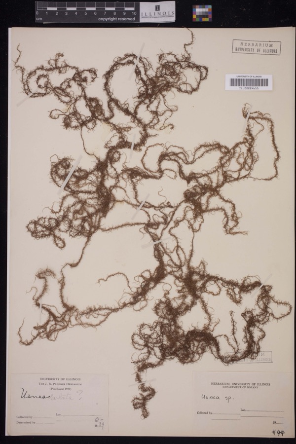 | Usnea Dill. ex Adans., 1763 | 1839 | J.R. Paddock | |
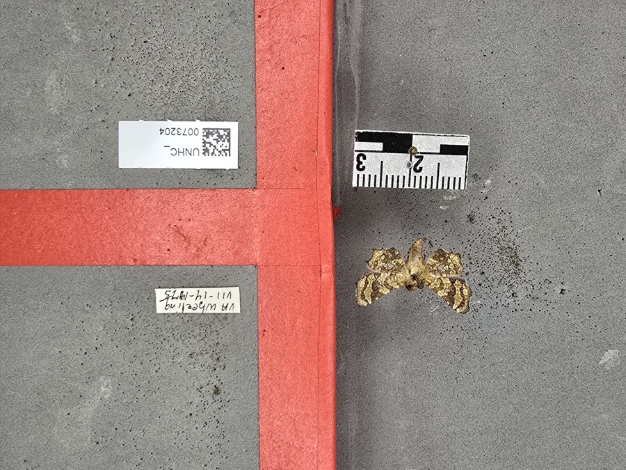 | Dysodia oculatana Clemens, 1860 | 1975 | not recorded | |
 | Houstonia caerulea L. | 1800 | Guttenberg, G. | near Wheeling |
 | Robinia L. | 1829 | Guttenberg, G. | Wheeling |
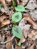 | Persicaria virginiana (L.) Gaertn. | 1835 | E. Wilkinson | Ohio |
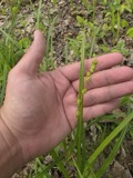 | Carex sparganioides Muhl. ex Willd. | 1837 | B. Frank | Ohio |
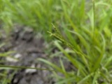 | Carex × sullivantii Boott | 1842 | W. S. Sullivant | Ohio |
 | Homalothecium subcapillatum (Hedw.) Sull. | 1843 | D. Sullivan | |
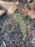 | Euphorbia maculata L. | 1844 | S. B. Mead | Ohio |
 | Jungermannia sullivantii Austin | 1844 | W. S. Sullivant | |
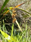 | Carex gracilescens Steud. | 1847 | G. B. Ashcroft | Ohio |
All 1,269 specimens within 10 miles, at the Global Biodiversity Information Facility.
Nearest settlements
The eight closest, with where each one stands in the county. Distances are straight-line, computed from the Geographic Names Information System coordinates.
| Map | Place | Distance | Sheets |
|---|---|---|---|
| Blainesville | 0.5 miles | 17 | |
| Crescent | 1.1 miles | 18 | |
| Kinsman | 1.5 miles | 17 | |
| Midway | 1.5 miles | 17 | |
| Highland Terrace | 1.7 miles | 17 | |
| Wheeling Valley (historical) | 2.2 miles | 17 | |
| Barton | 2.3 miles | 18 | |
| Provident | 2.5 miles | 17 |
Provenance
This settlement is recorded in the Geographic Names Information System as feature 1082167. The sheet list is computed by point-in-boundary test against the United States Geological Survey's historical topographic inventory. Both are works of the United States government and carry no copyright under 17 U.S.C. 105.
Wildfire. Short, Karen C. 2022. Spatial wildfire occurrence data for the United States, 1992-2020 [FPA_FOD_20221014]. 6th Edition. Fort Collins, CO: Forest Service Research Data Archive. https://doi.org/10.2737/RDS-2013-0009.6 Collected with United States Government funding and usable without additional permissions or fees.
Specimens. Global Biodiversity Information Facility (GBIF), https://www.gbif.org/. Only records licensed CC0 or CC BY are used. Records licensed CC BY-NC are excluded because this site carries advertising. Images are checked individually and any whose licence is non-commercial, no-derivatives or unreadable is refused.