 Block
Block
Maysville, Ohio
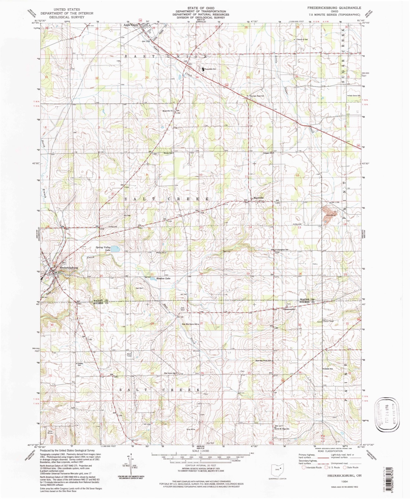
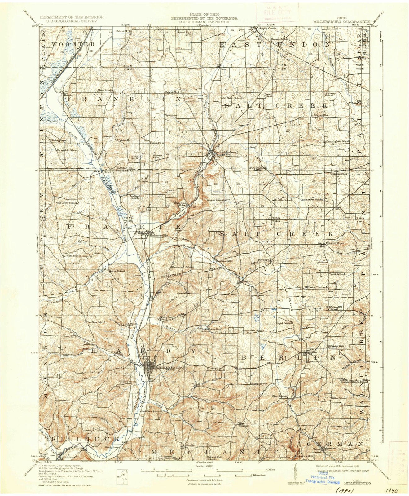
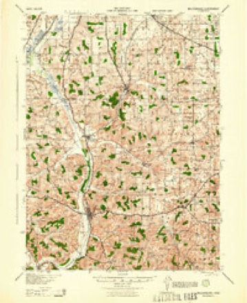
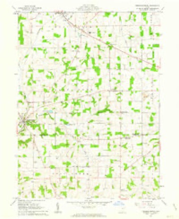
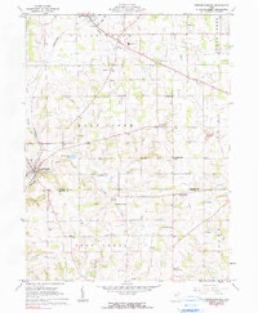
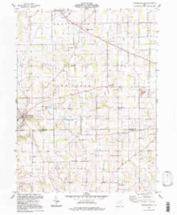
15 topographic sheets cover this place, the earliest surveyed in 1915 and the latest in 1994. It stands in Salt Creek Township. It lies in ZIP code area 44606. The Survey maps it on the Fredericksburg quadrangle.
Then and now
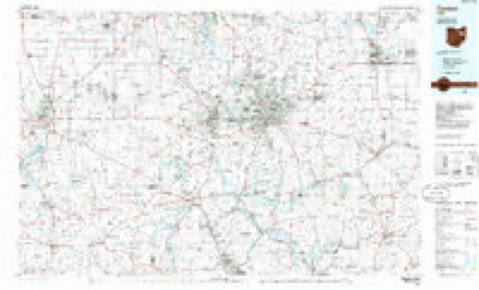
1915 to 1994The same ground, surveyed 79 years apart. Drag the handle to wipe between them. Both sheets are United States Geological Survey originals; neither has been altered.
Topographic sheets covering this place
15 sheetsMatched by testing this settlement's coordinate against the published boundary of every sheet in the United States Geological Survey's historical collection. Each opens the scanned sheet at the Survey.
- 1915 USGS Millersburg quadrangle1:62500
- 1915 USGS Millersburg quadrangle1:62500
- 1943 USGS Millersburg quadrangle1:62500
- 1951 USGS Canton quadrangle1:250000
- 1953 USGS Canton quadrangle1:250000
- 1957 USGS Canton quadrangle1:250000
- 1957 USGS Canton quadrangle1:250000
- 1957 USGS Canton quadrangle1:250000
- 1961 USGS Fredericksburg quadrangle1:24000
- 1961 USGS Fredricksburg quadrangle1:24000
- 1962 USGS Canton quadrangle1:250000
- 1962 USGS Canton quadrangle1:250000
- 1986 USGS Canton quadrangle1:100000
- 1986 USGS Canton quadrangle1:100000
- 1994 USGS Fredricksburg quadrangle1:24000







Specimens collected nearby
12 of 1,073 shownMuseums hold 1,073 specimens collected within 10 miles of Maysville between 1877 and 1975: 1,001 Animalia, 63 Plantae, 9 Fungi. 12 distinct Species records are shown. Collected by A C ALLEN, A. Weaver, A.D. Selby and others. Each is a physical object with a catalogue number, and each entry opens the museum's record. This is what was collected and kept, not a survey of what lives here - nothing can be concluded from a species being absent.
| Image | Species | Year | Collected by | Where, as recorded |
|---|---|---|---|---|
 | Aster ciliolatus Lindl. | 1877 | Thorne, B.H. | Station Farm, Wooster |
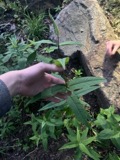 | Eupatorium sessilifolium L. | 1889 | Duvel, J.W.T | Fredericksburg |
 | Clinopodium vulgare L. | 1895 | Selby, A.D. | Apple Creek |
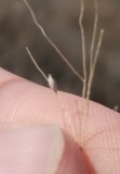 | Panicum capillare L. | 1895 | Selby, A.D. | Apple Creek |
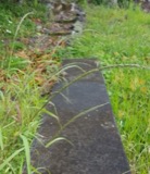 | Eragrostis tef (Zuccagni) Trotter | 1896 | Britton, J.C. | Wooster, Ohio Agricultural Experimental Station |
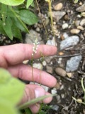 | Polygala verticillata L. | 1896 | Britton, J.C. | Ohio Agriculural Expt. Station (OAES), Wooster |
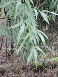 | Schedonorus arundinaceus (Schreb.) Dumort. | 1896 | Selby, A.D. | Wooster, OAES [Ohio Agric. Experimental Station] Grass Plots |
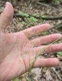 | Agrostis perennans (Walter) Tuck. | 1897 | Thorne, B.H. | West woods, Sta. Farm, Wooster [Ohio Agricultural Experiment Station] |
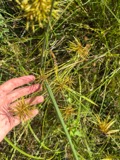 | Cyperus strigosus L. | 1897 | Thorne, B.H. | Station Farm, Wooster |
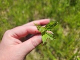 | Epilobium coloratum Biehler | 1897 | Thorne, B.H. | Station Farm, W woods |
| Lactuca biennis (Moench) Fernald | 1897 | Thorne, B.H. | Station Farm, Wooster | |
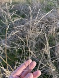 | Tridens flavus (L.) Hitchc. | 1897 | Selby, A.D. | Station Farm, Wooster |
All 1,073 specimens within 10 miles, at the Global Biodiversity Information Facility.
Storms nearby
1 since 2019The National Weather Service names Maysville in 1 storm report between 2019 and 2019: 1 flash flood. No death or injury is recorded in these reports. Each account below is quoted exactly as the forecast office filed it, from the NOAA Storm Events Database, and each date opens the federal record of that event.
| When | Event | Place named | Harm | What the report says |
|---|---|---|---|---|
| July 2019 | Flash Flood | Maysville | $8,000,000 | Rainfall estimated around 2 to 5 inches caused substantial damage in flash floods across central Wayne County. Preliminary damage assessments reported at least 25 homes categorized as either major damage or destroyed and 6 businesses severely affected. The most significant damage was located south of Wooster near US 250 in the Apple Creek basin. The Apple Creek Fire Department said four residents were rescued from their flooded home in the 5600 block of Dover Avenue by fire crews and a dive team, and that nearly all roads were impassable. At least 400 people were evacuated from Prairie Lane Lake Park campground and about a dozen others were rescued after flash flooding hit the southside of Wooster and areas south of the city. |
Nearest settlements
The eight closest, with where each one stands in the county. Distances are straight-line, computed from the Geographic Names Information System coordinates.
| Map | Place | Distance | Sheets |
|---|---|---|---|
| Kidron | 3.9 miles | 16 | |
| Fredericksburg | 4.4 miles | 15 | |
| Apple Creek | 4.5 miles | 15 | |
| Mount Eaton | 4.7 miles | 16 | |
| Edinburgh | 4.8 miles | 15 | |
| McCance | 4.8 miles | 18 | |
| West Lebanon | 6.9 miles | 16 | |
| East Union | 6.9 miles | 15 |
Elsewhere
Matched on this settlement's Geographic Names Information System number rather than its name, so it cannot be a different place of the same name in another state.
| Wikipedia article on Maysville | An encyclopaedic summary. Its text is share-alike, so it is linked here rather than copied. |
| Wikidata item Q22133953 | The structured record the population and elevation above come from. Public domain (CC0). |
Provenance
This settlement is recorded in the Geographic Names Information System as feature 1061488. The sheet list is computed by point-in-boundary test against the United States Geological Survey's historical topographic inventory. Both are works of the United States government and carry no copyright under 17 U.S.C. 105.
Specimens. Global Biodiversity Information Facility (GBIF), https://www.gbif.org/. Only records licensed CC0 or CC BY are used. Records licensed CC BY-NC are excluded because this site carries advertising. Images are checked individually and any whose licence is non-commercial, no-derivatives or unreadable is refused.
Storms. NOAA National Centers for Environmental Information, Storm Events Database https://www.ncei.noaa.gov/stormevents/ A work of the United States government, no copyright under 17 U.S.C. 105. Narratives are quoted verbatim from the National Weather Service report and are not edited or summarised.