BlockBefore
Decorative drawing: a county panorama. Not a photograph of this place.

Wayne County, Ohio

78 topographic sheets and 55 fire insurance atlases across 9 places.

Research this county

This curated hub for Wayne County, Ohio brings together the page's documented record links, visible map or image evidence where published, and routes to related local records.

What is documented here?

Use the page's provenance and linked records to distinguish the source material from the site's navigation and summaries.

How should I cite it?

Open the original record, preserve its repository and identifier, then use the citation tool for this page as a path back to the source.

Where should I go next?

Follow the county or state hub for related places and records, then use the guide for a source-aware research sequence.

From the record

18 National Register listings · 68 businesses named in the fire insurance atlases from 1888 to 1950 · the 1878 county history tells 0 stories and names 7 people · people the book names include Christian B. Beenneman (Wayne Township, 1889) (machine-read).

Sources: the county history on the Internet Archive · the National Register database, National Park Service

Ohio within the United States
Wayne County within Ohio
Explore by year 1856 1950

What the record shows

  • 9 places in this county were surveyed for fire insurance: Orrville, Wooster, West Salem, Shreve, Creston, Dalton, Doylestown, Rittman, Sterling, between 1884 and 1951.
  • 55 fire insurance atlas(es) survive for the county. Topographic coverage is national; fire insurance survey reached only incorporated places with something worth insuring.
  • 1,326 topographic sheet readings cover the county's settlements.
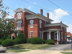
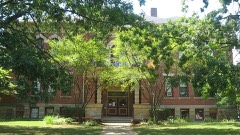
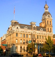
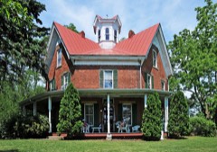
  • 18 properties here are on the National Register of Historic Places, including 10 houses and farms.
  • 7 of the 18 listings were added during the 1970s.
  • The Geographic Names Information System records 87 populated places in this county; 0 are covered by at least one topographic sheet.
  • 5 public-domain county histories, 1878 to 1925, supply 241,571 words of narrative reproduced here in full.

Photographs

1 photograph,

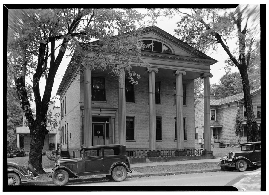
Taken for the Office of War Information and the Farm Security Administration, who photographed the country between 1935 and 1944. Works of United States government photographers, with no known restriction on use. Each opens its catalogue record.

Moore-Brewster House, 202 Market Street, Wooster, Wayne County, OH
Unattributed, . Library of Congress

Places on the National Register

18

Every property in this county listed on the National Register of Historic Places, with the year it was listed and the federal nomination document.

Photograph PropertyType ListedReference
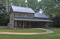
Barnet-Hoover Log Housebuilding197474001648
Beall, Gen. Reasin, Housebuilding197676001548
Gasche, Charles, Housebuilding198988003192
Gertenslager Carriage and Wagon Companybuilding198686000240
Gish Farmhousesbuilding198213000897
Green Township High Schoolbuilding201313000684
Kister Millbuilding197474001647
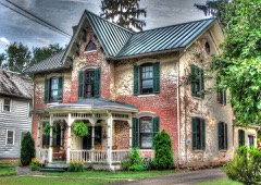
Liggett--Freedlander Housebuilding199494000770
McSweeney, John, Housebuilding197474001649
Old Wayne County Jailbuilding198282003665
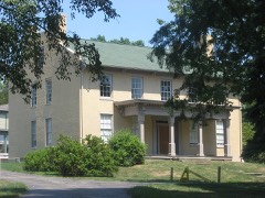
Overholt Housebuilding198383004345
Schantz Organ Companybuilding2021100006818
Smith Orr Homesteadbuilding201111000370
Walnut Street Schoolbuilding198484003811
Wayne County Courthouse Districtdistrict197373001551
Wooster Post Office (Wooster Board of Education)building197878002213
Zimmerman, Ezekiel B., Octagon Housebuilding197575001553

Covered bridges

0

Wayne County holds 0 covered bridges on the National Register, more than any other property type here. Each is a listed structure with a federal nomination on file.

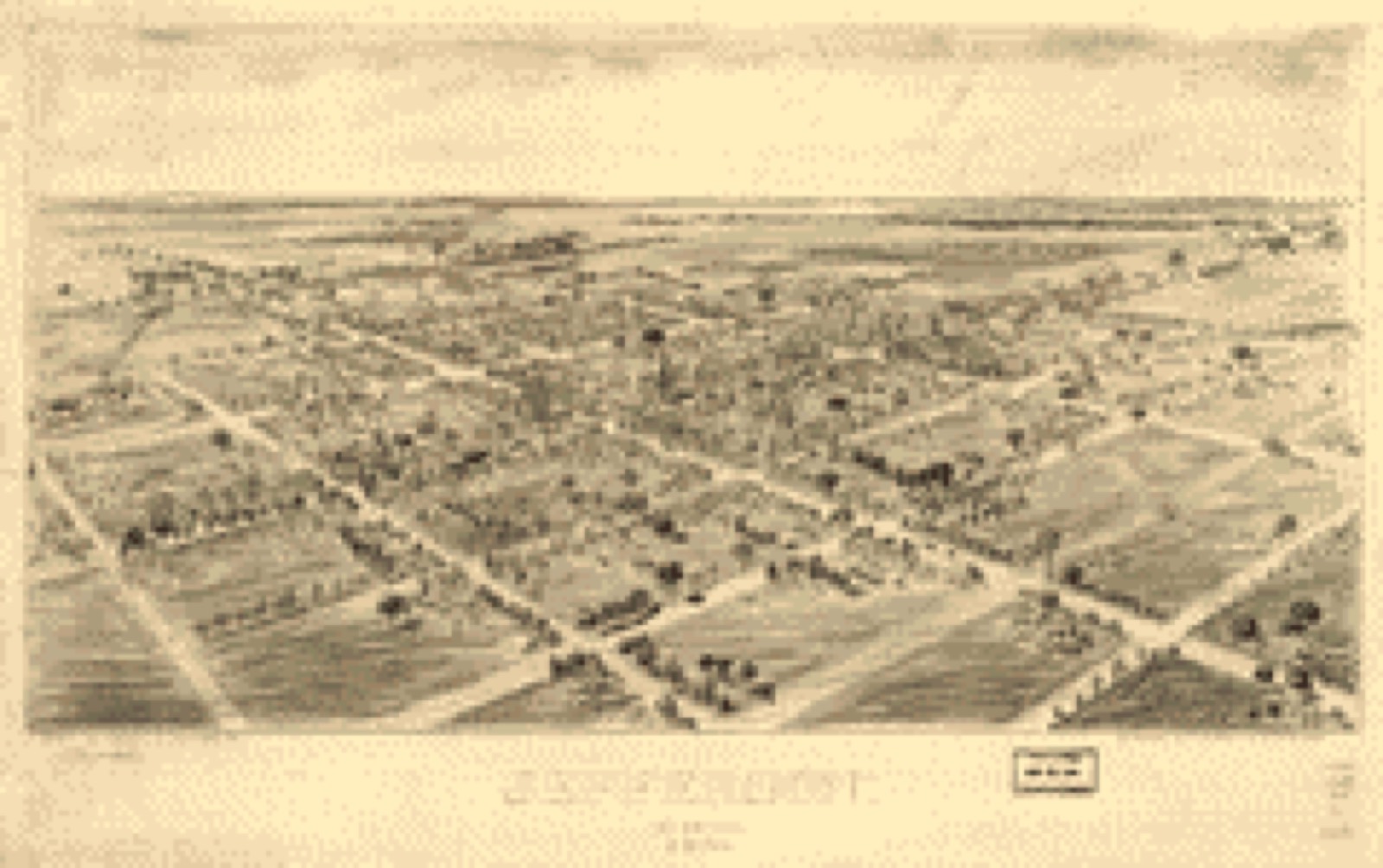
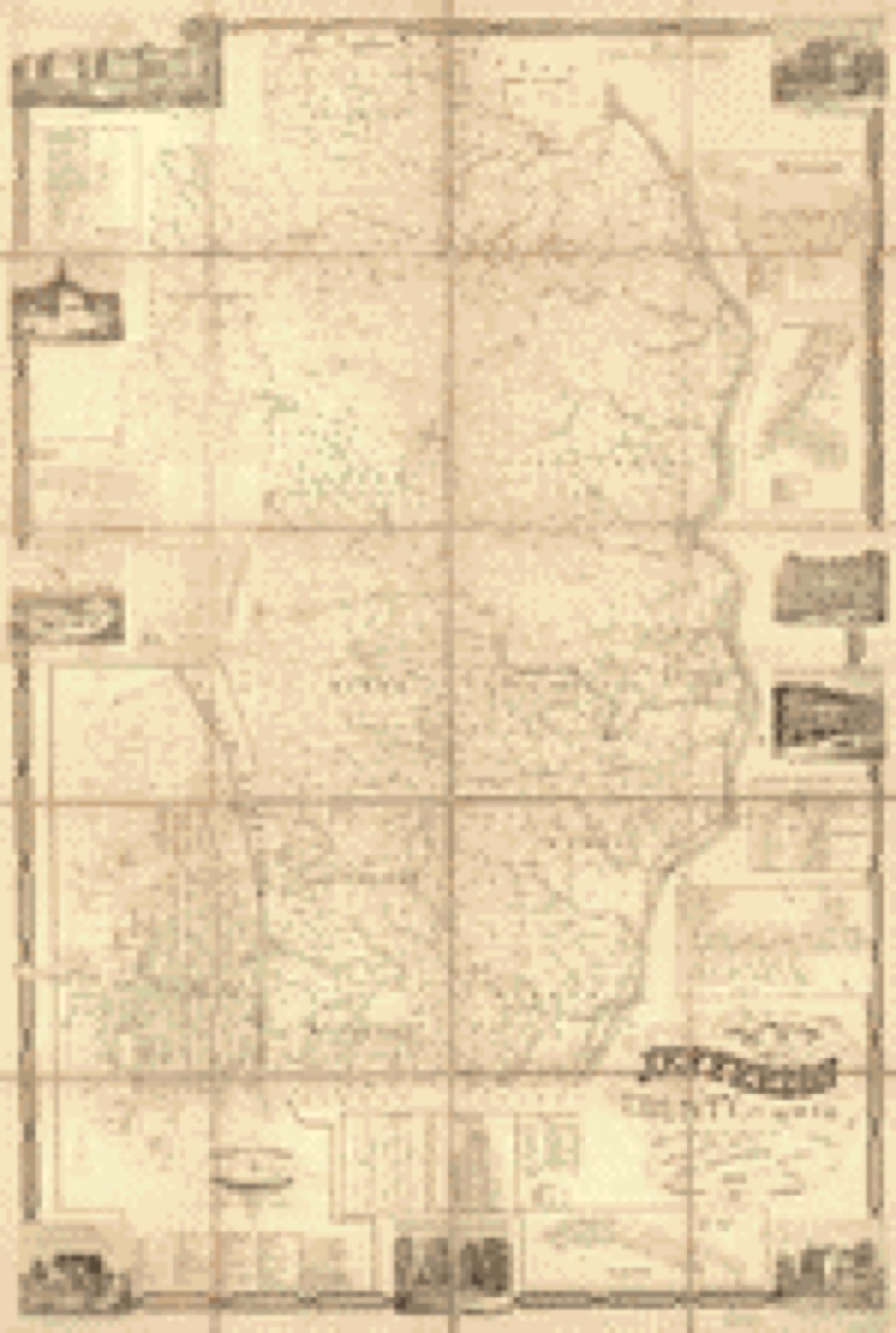
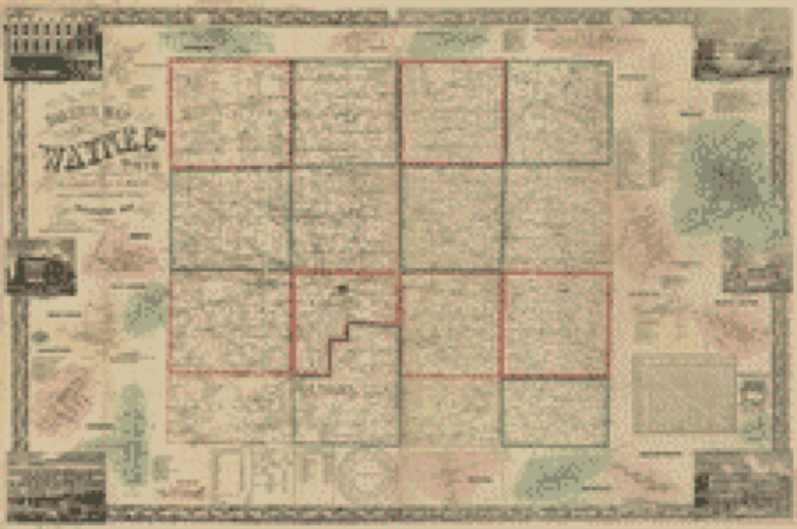
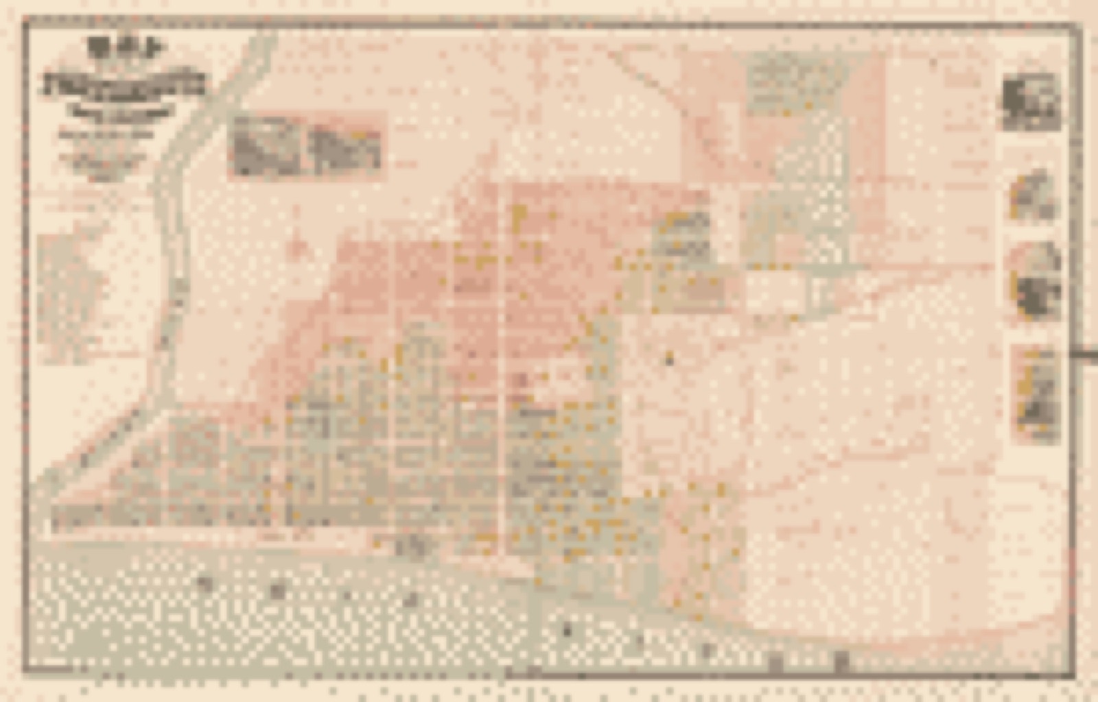
Bird's-eye views and land ownership maps

4

Drawn when these were printed as single large sheets: the town seen from the air, and the county divided into its farms with every owner named. Each opens the original at the Library of Congress.

Bird's-eye view, 1901 - Jefferson, Ohio 1901
Bird's-eye view (1901) - Jefferson, Ohio 1901. Library of Congress.
Land ownership map, 1856 - Map of Jefferson County, Ohio : from actual surveys
Land ownership map (1856) - Map of Jefferson County, Ohio : from actual surveys. Library of Congress.
Land ownership map, 1856 - Baker's map of Wayne Co., Ohio
Land ownership map (1856) - Baker's map of Wayne Co., Ohio. Library of Congress.
Land ownership map, 1868 - Map of the City of Portsmouth and Wayne Township, Scioto County, Ohio
Land ownership map (1868) - Map of the City of Portsmouth and Wayne Township, Scioto County, Ohio. Library of Congress.

Photographs from libraries nationwide

3 of 12 shown

Selected from the Digital Public Library of America's 12 image records catalogued for this county. Every one shown here carries a public-domain status or a licence that permits reuse on a site that carries advertising; non-commercial, share-alike and restricted images are excluded. The selection is spread across the county's towns (at most eight per town), so no single institution's bulk upload crowds out the rest. Each opens the holding library's record, and the complete set at the Digital Public Library of America is one click away.

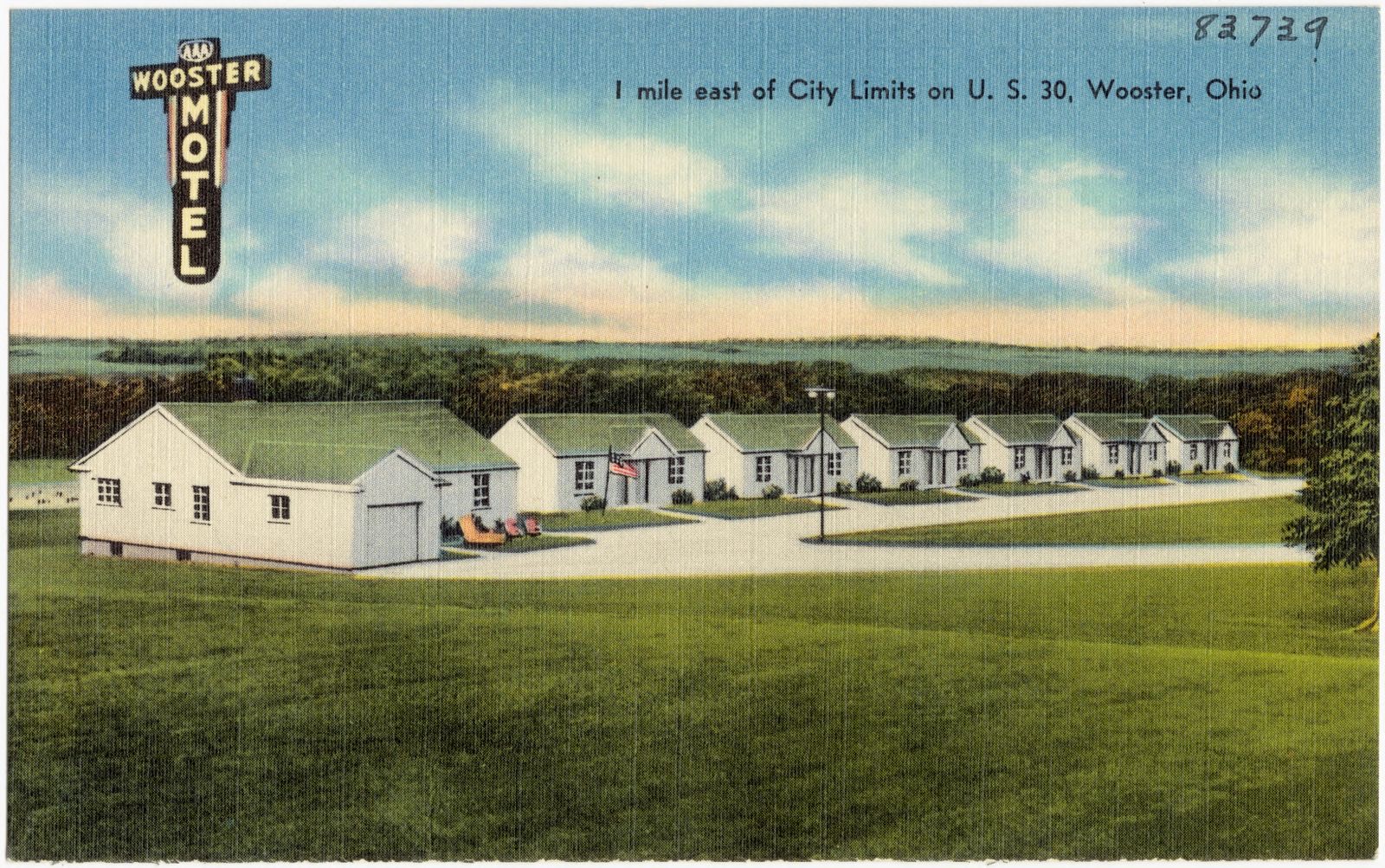
Wooster Motel, 1 mile east of city limits on U.S. 30, Wooster, Ohio, Boston Public Library - undated
Wooster Motel, 1 mile east of city limits on U.S. 30, Wooster, Ohio. Boston Public Library, via the Digital Public Library of America.
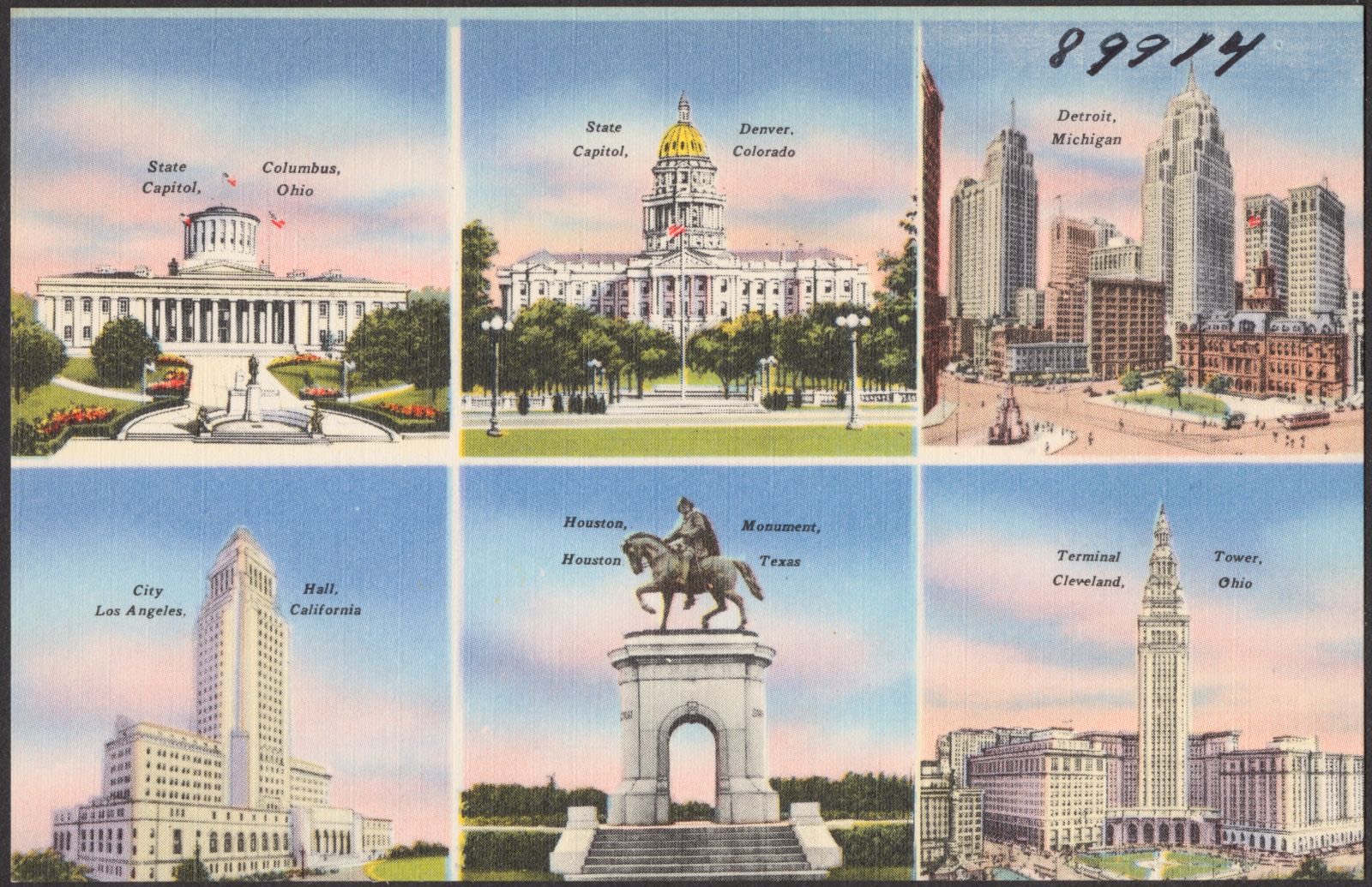
State capitol, Columbus, Ohio. State capitol, Denver, Colorado. Detroit, Michigan. City hall, Los Angeles, California. Houston monument, Houston, Texas. Terminal Tower, Cleveland, Ohio, Boston Public Library - undated
State capitol, Columbus, Ohio. State capitol, Denver, Colorado. Detroit, Michigan. City hall, Los Angeles, California. Houston monument, Houston, Texas. Terminal Tower, Cleveland, Ohio. Boston Public Library, via the Digital Public Library of America.
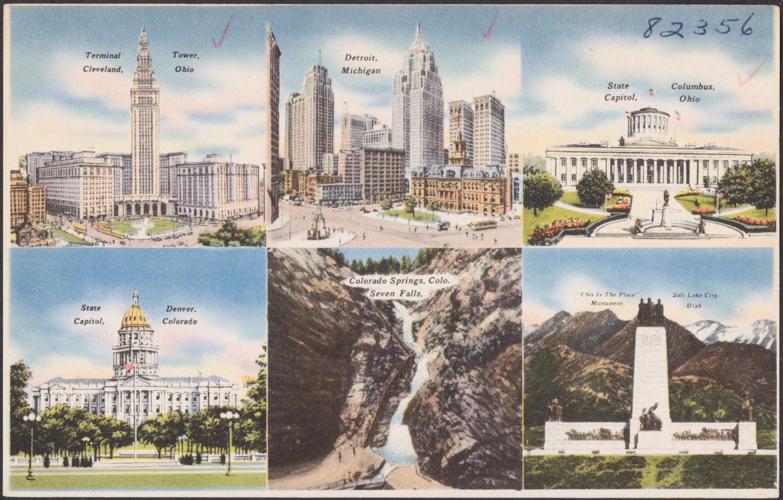
Terminal Tower, Cleveland, Ohio. Detroit, Michigan. State capitol, Columbus, Ohio. State capitol, Denver, Colorado. Colorado Springs, Colo. Seven Falls. "This is the Place" monument, Salt Lake City, Utah, Boston Public Library - undated
Terminal Tower, Cleveland, Ohio. Detroit, Michigan. State capitol, Columbus, Ohio. State capitol, Denver, Colorado. Colorado Springs, Colo. Seven Falls. "This is the Place" monument, Salt Lake City, Utah. Boston Public Library, via the Digital Public Library of America.

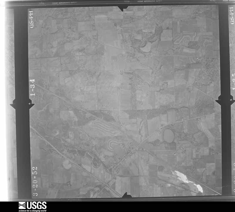
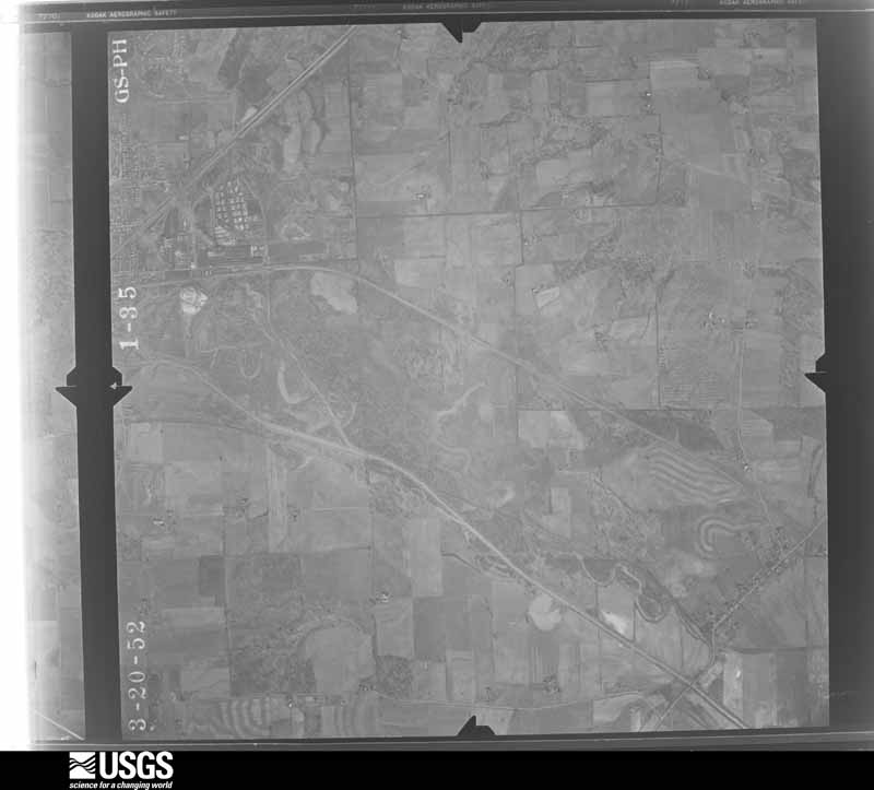
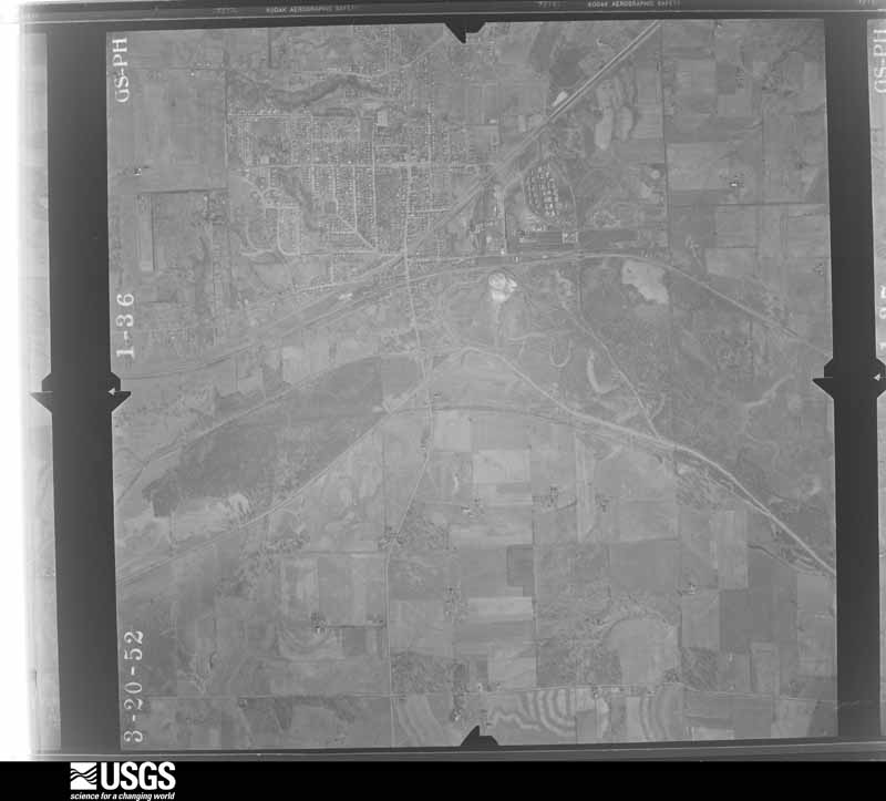
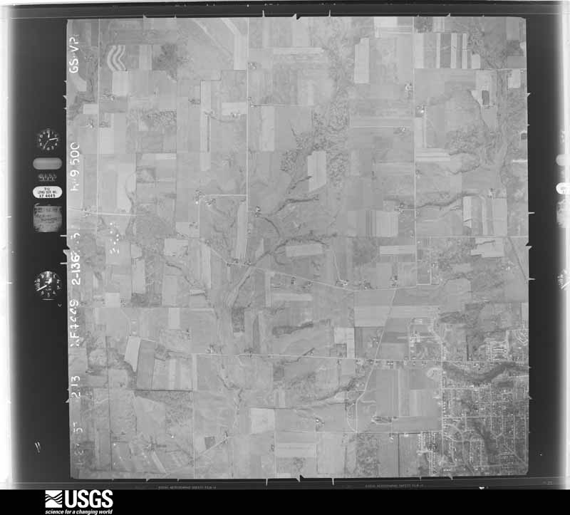
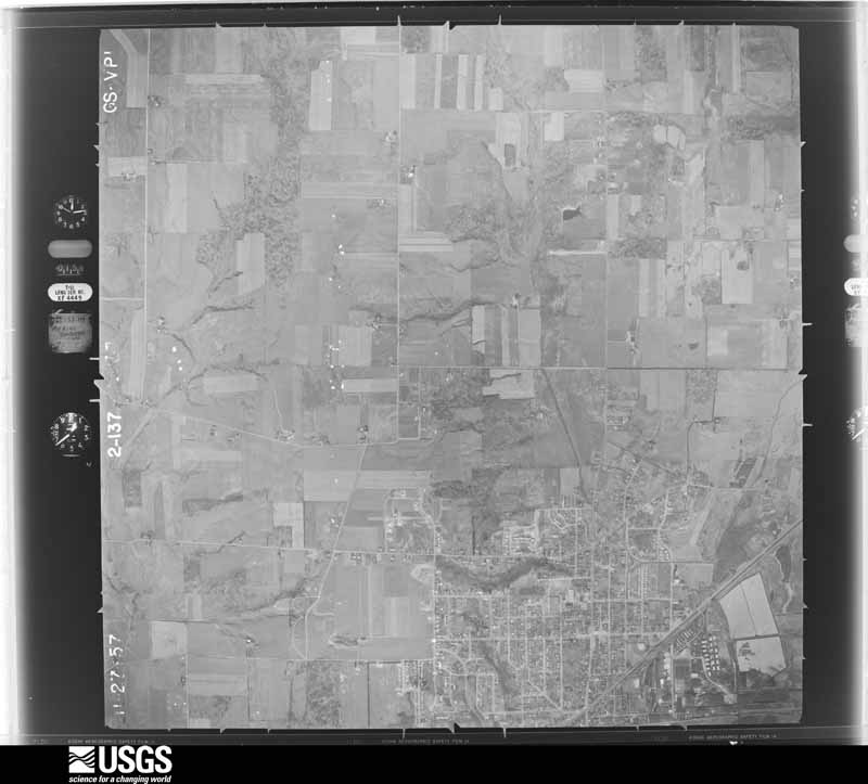
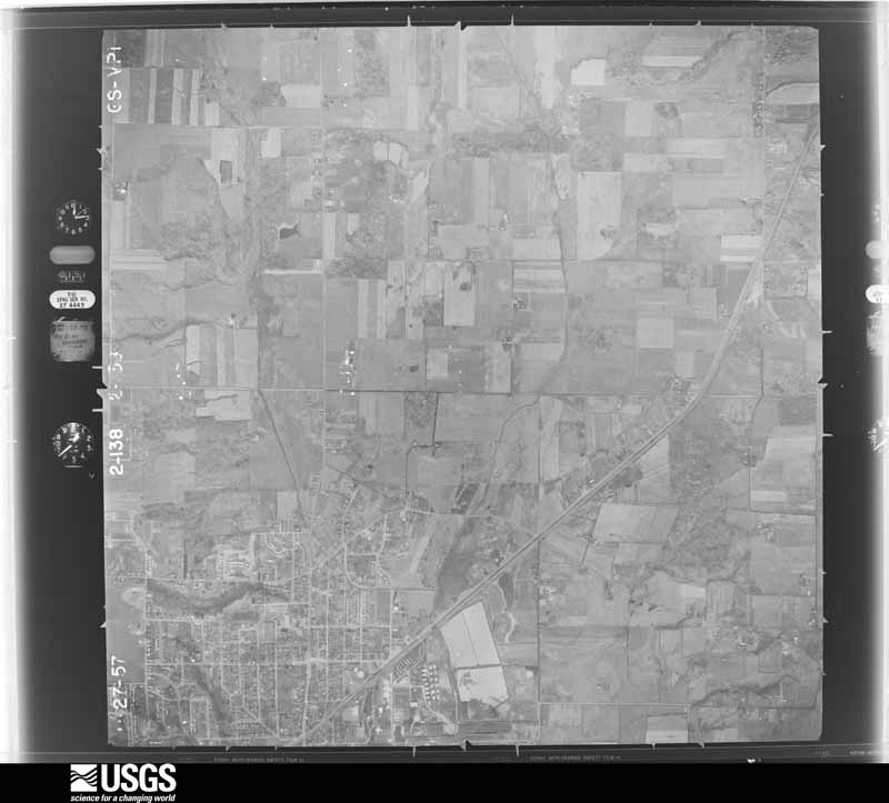
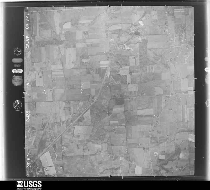
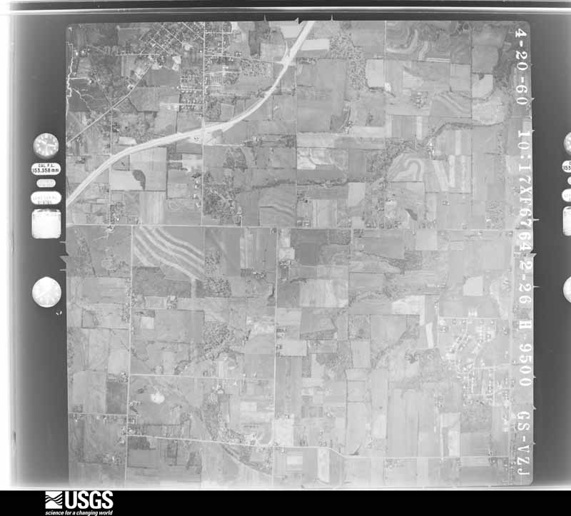
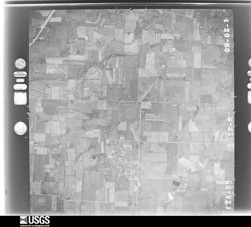
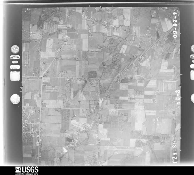
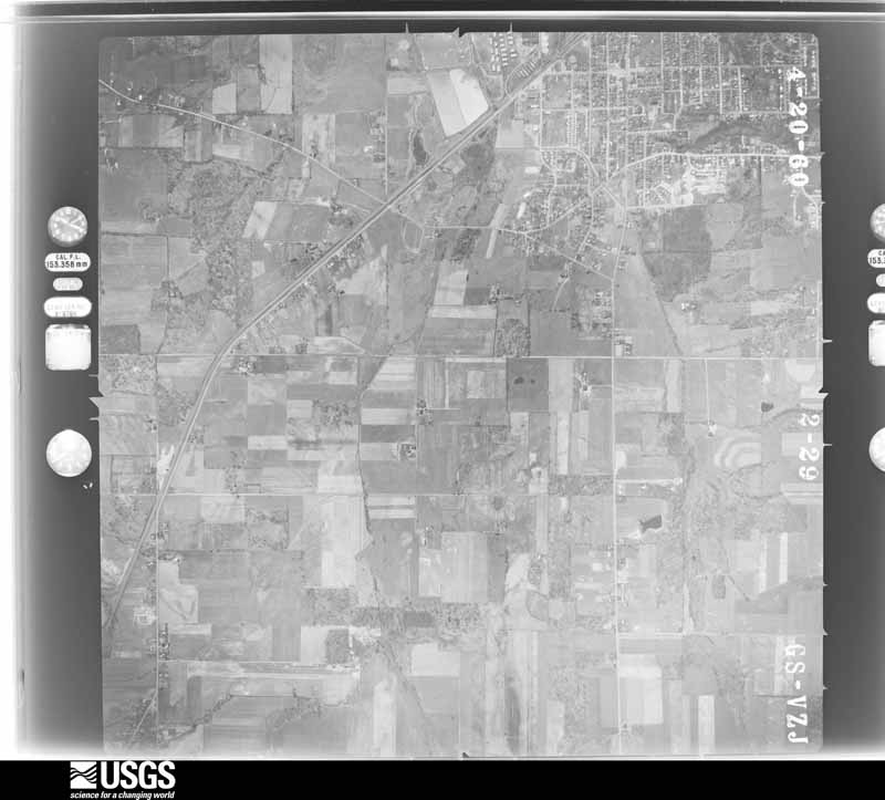
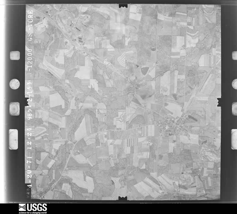
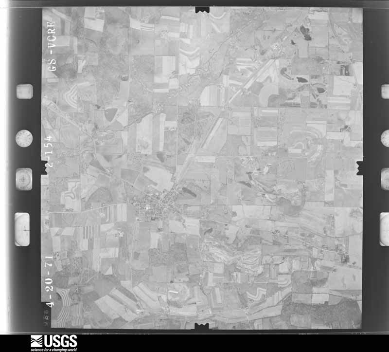
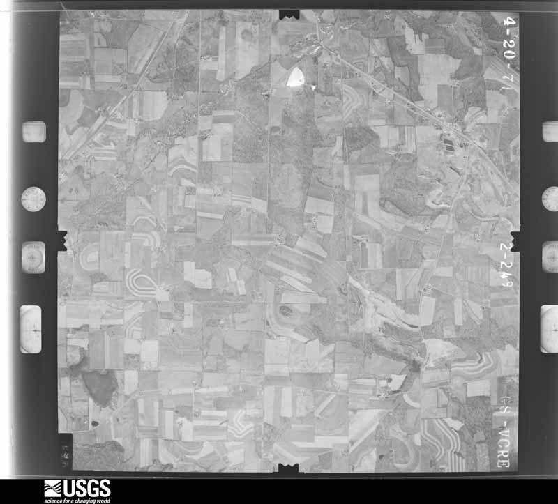
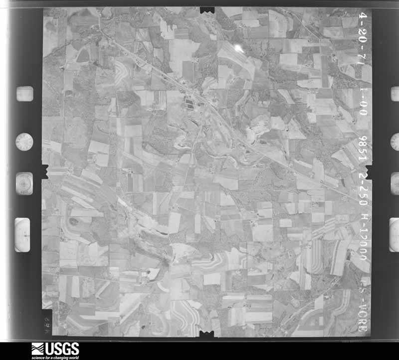
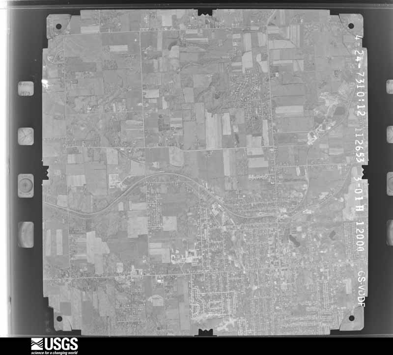
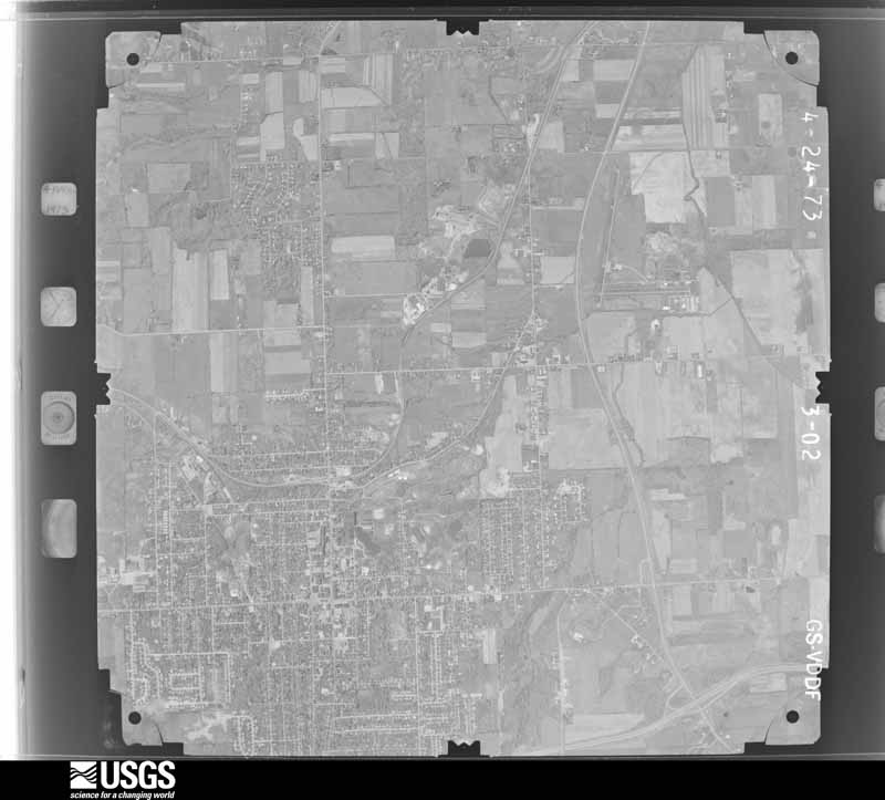
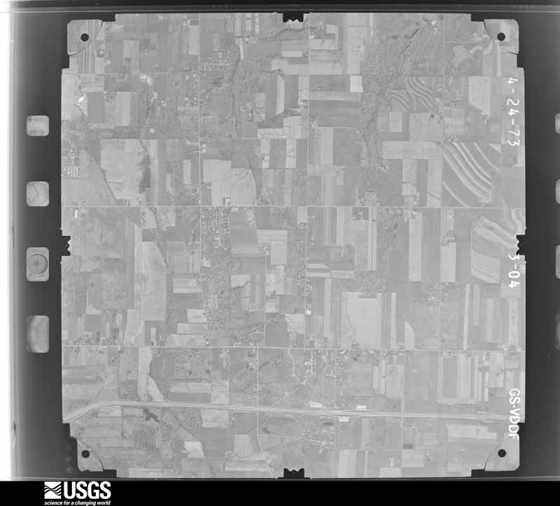
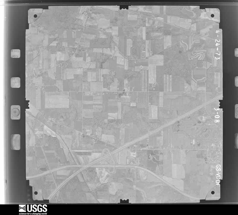
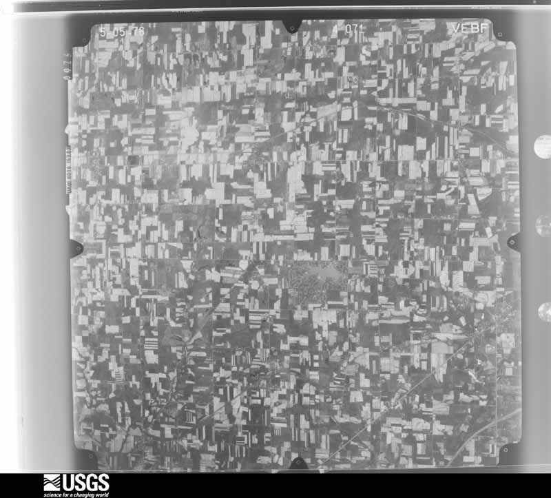
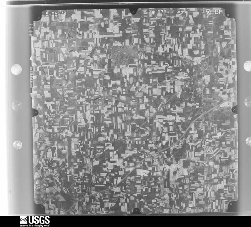
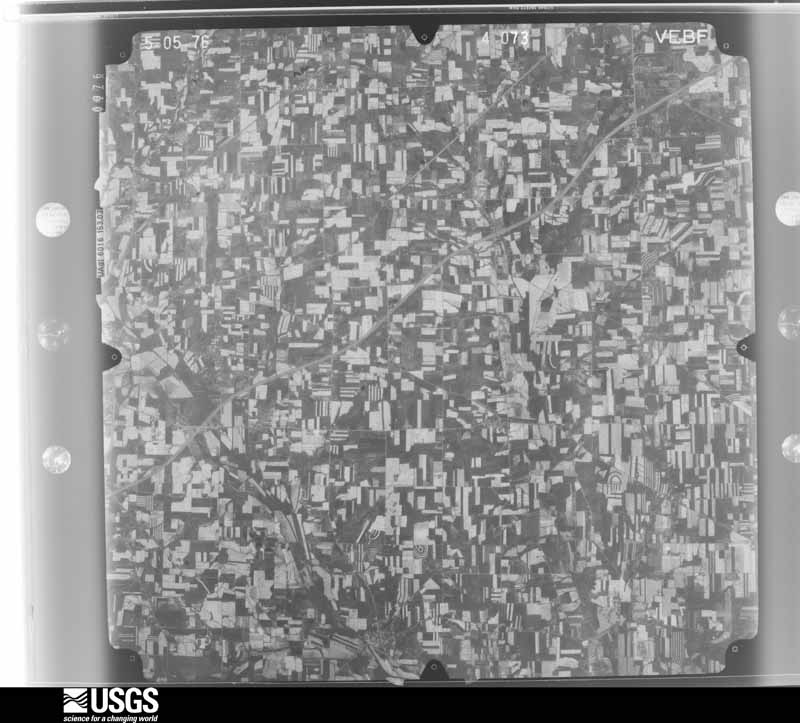
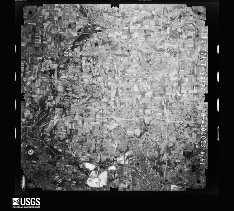
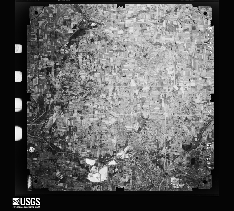
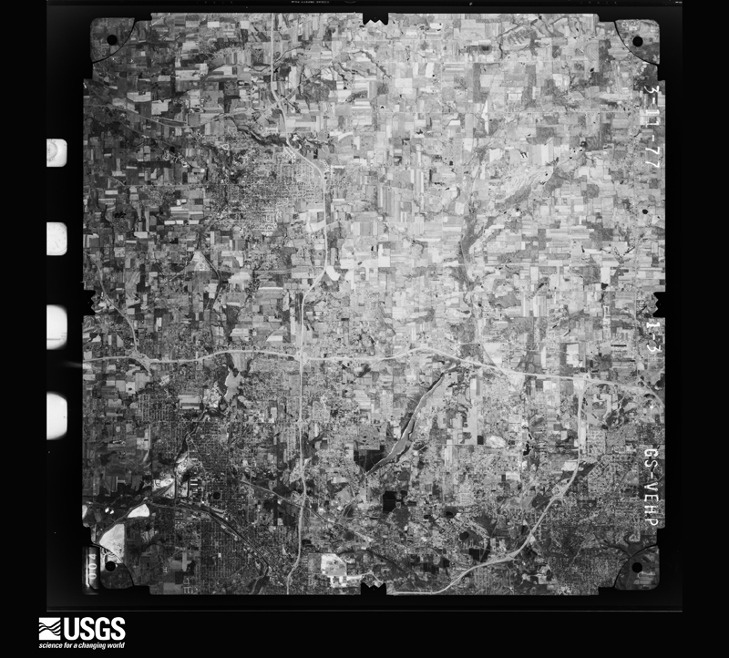
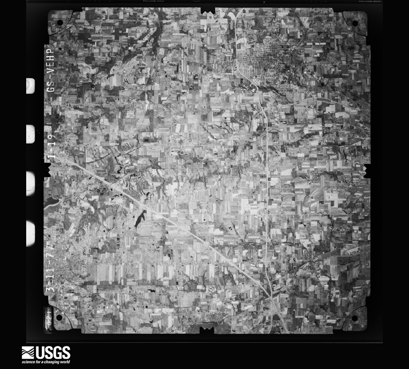
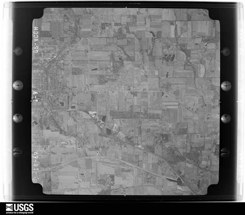
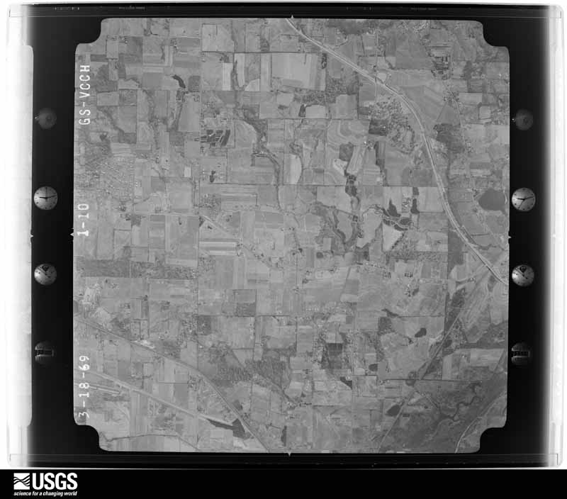
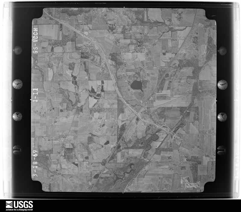
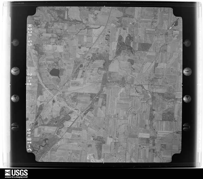
The county from the air

36 of 795 shown

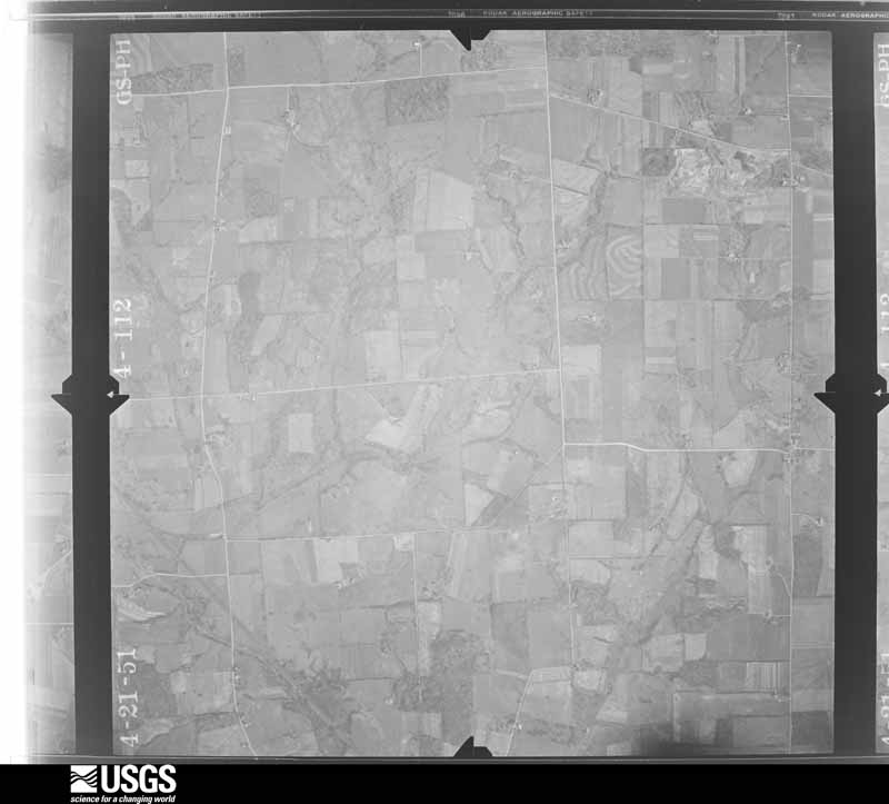
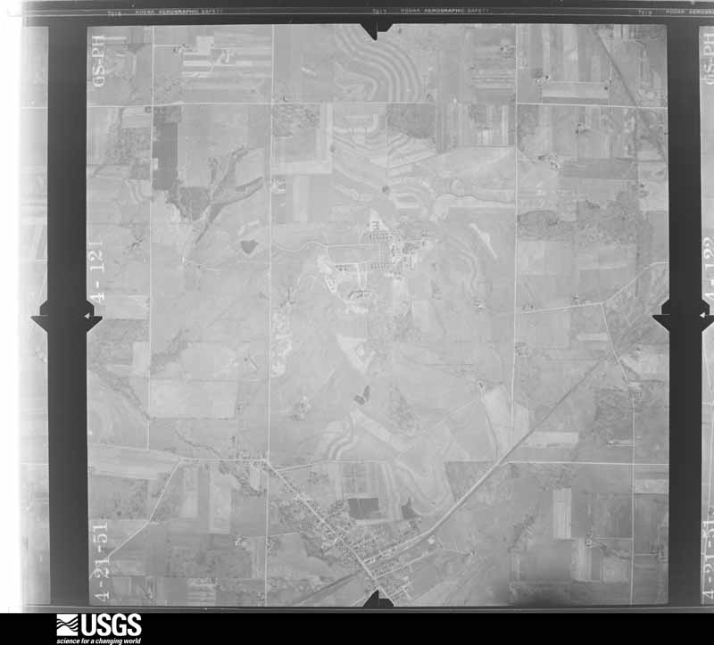
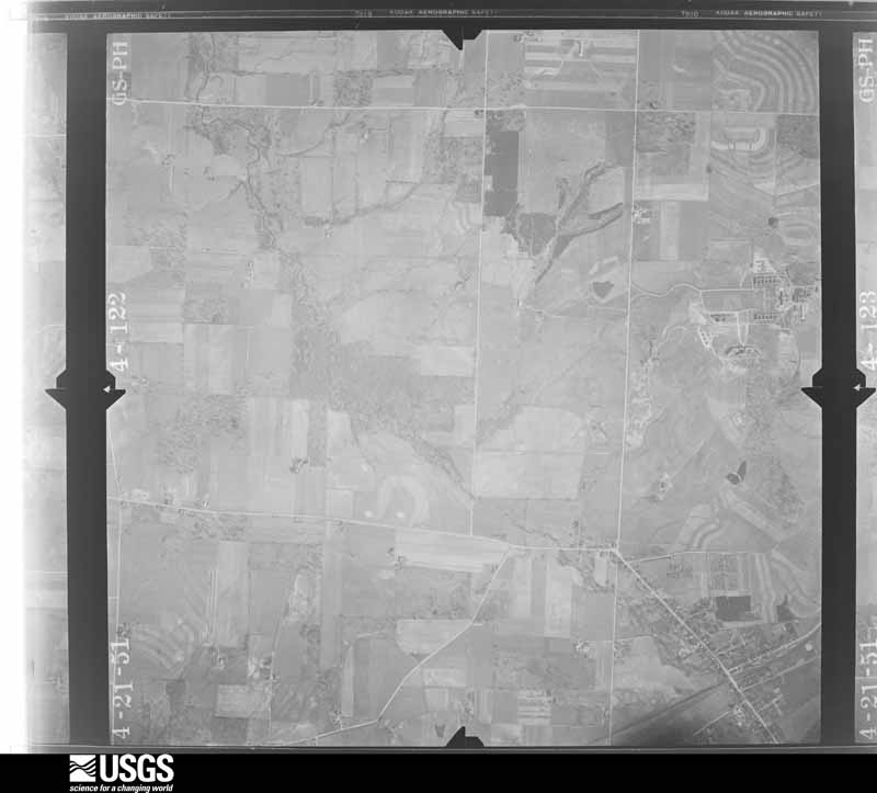
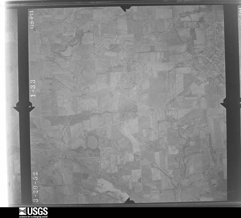
Flown by the U.S. Geological Survey between 1937 and 1989, the Aerial Photo Single Frames collection is the definitive mid-century view of the land: fields, roads and rivers as the camera saw them. 795 frames touch this county; the selection below spreads across the decades of flights (at most four per year), so one flight cannot crowd out the rest. The full set is free to browse and download at EarthExplorer under the dataset Aerial Photo Single Frames.

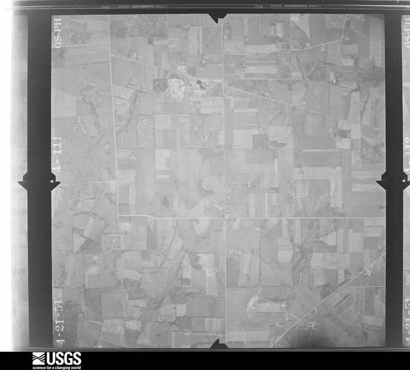
U.S. Geological Survey aerial photograph, 1951-04-21, scale 1:17000
1951-04-21, scale 1:17000. U.S. Geological Survey aerial photograph.
U.S. Geological Survey aerial photograph, 1951-04-21, scale 1:17000
1951-04-21, scale 1:17000. U.S. Geological Survey aerial photograph.
U.S. Geological Survey aerial photograph, 1951-04-21, scale 1:17000
1951-04-21, scale 1:17000. U.S. Geological Survey aerial photograph.
U.S. Geological Survey aerial photograph, 1951-04-21, scale 1:17000
1951-04-21, scale 1:17000. U.S. Geological Survey aerial photograph.
U.S. Geological Survey aerial photograph, 1952-03-20, scale 1:17000
1952-03-20, scale 1:17000. U.S. Geological Survey aerial photograph.
U.S. Geological Survey aerial photograph, 1952-03-20, scale 1:17000
1952-03-20, scale 1:17000. U.S. Geological Survey aerial photograph.
U.S. Geological Survey aerial photograph, 1952-03-20, scale 1:17000
1952-03-20, scale 1:17000. U.S. Geological Survey aerial photograph.
U.S. Geological Survey aerial photograph, 1952-03-20, scale 1:17000
1952-03-20, scale 1:17000. U.S. Geological Survey aerial photograph.
U.S. Geological Survey aerial photograph, 1957-11-01, scale 1:19000
1957-11-01, scale 1:19000. U.S. Geological Survey aerial photograph.
U.S. Geological Survey aerial photograph, 1957-11-01, scale 1:19000
1957-11-01, scale 1:19000. U.S. Geological Survey aerial photograph.
U.S. Geological Survey aerial photograph, 1957-11-01, scale 1:19000
1957-11-01, scale 1:19000. U.S. Geological Survey aerial photograph.
U.S. Geological Survey aerial photograph, 1957-11-01, scale 1:19000
1957-11-01, scale 1:19000. U.S. Geological Survey aerial photograph.
U.S. Geological Survey aerial photograph, 1960-04-01, scale 1:19000
1960-04-01, scale 1:19000. U.S. Geological Survey aerial photograph.
U.S. Geological Survey aerial photograph, 1960-04-01, scale 1:19000
1960-04-01, scale 1:19000. U.S. Geological Survey aerial photograph.
U.S. Geological Survey aerial photograph, 1960-04-01, scale 1:19000
1960-04-01, scale 1:19000. U.S. Geological Survey aerial photograph.
U.S. Geological Survey aerial photograph, 1960-04-01, scale 1:19000
1960-04-01, scale 1:19000. U.S. Geological Survey aerial photograph.
U.S. Geological Survey aerial photograph, 1969-03-22, scale 1:24000
1969-03-22, scale 1:24000. U.S. Geological Survey aerial photograph.
U.S. Geological Survey aerial photograph, 1969-03-22, scale 1:24000
1969-03-22, scale 1:24000. U.S. Geological Survey aerial photograph.
U.S. Geological Survey aerial photograph, 1969-03-22, scale 1:24000
1969-03-22, scale 1:24000. U.S. Geological Survey aerial photograph.
U.S. Geological Survey aerial photograph, 1969-03-22, scale 1:24000
1969-03-22, scale 1:24000. U.S. Geological Survey aerial photograph.
U.S. Geological Survey aerial photograph, 1971-05-09, scale 1:24000
1971-05-09, scale 1:24000. U.S. Geological Survey aerial photograph.
U.S. Geological Survey aerial photograph, 1971-05-09, scale 1:24000
1971-05-09, scale 1:24000. U.S. Geological Survey aerial photograph.
U.S. Geological Survey aerial photograph, 1971-05-09, scale 1:24000
1971-05-09, scale 1:24000. U.S. Geological Survey aerial photograph.
U.S. Geological Survey aerial photograph, 1971-05-09, scale 1:24000
1971-05-09, scale 1:24000. U.S. Geological Survey aerial photograph.
U.S. Geological Survey aerial photograph, 1973-04-01, scale 1:24000
1973-04-01, scale 1:24000. U.S. Geological Survey aerial photograph.
U.S. Geological Survey aerial photograph, 1973-04-01, scale 1:24000
1973-04-01, scale 1:24000. U.S. Geological Survey aerial photograph.
U.S. Geological Survey aerial photograph, 1973-04-01, scale 1:24000
1973-04-01, scale 1:24000. U.S. Geological Survey aerial photograph.
U.S. Geological Survey aerial photograph, 1973-04-01, scale 1:24000
1973-04-01, scale 1:24000. U.S. Geological Survey aerial photograph.
U.S. Geological Survey aerial photograph, 1976-04-01, scale 1:80000
1976-04-01, scale 1:80000. U.S. Geological Survey aerial photograph.
U.S. Geological Survey aerial photograph, 1976-04-01, scale 1:80000
1976-04-01, scale 1:80000. U.S. Geological Survey aerial photograph.
U.S. Geological Survey aerial photograph, 1976-04-01, scale 1:80000
1976-04-01, scale 1:80000. U.S. Geological Survey aerial photograph.
U.S. Geological Survey aerial photograph, 1976-04-01, scale 1:80000
1976-04-01, scale 1:80000. U.S. Geological Survey aerial photograph.
U.S. Geological Survey aerial photograph, 1977-03-11, scale 1:80000
1977-03-11, scale 1:80000. U.S. Geological Survey aerial photograph.
U.S. Geological Survey aerial photograph, 1977-03-11, scale 1:80000
1977-03-11, scale 1:80000. U.S. Geological Survey aerial photograph.
U.S. Geological Survey aerial photograph, 1977-03-11, scale 1:80000
1977-03-11, scale 1:80000. U.S. Geological Survey aerial photograph.
U.S. Geological Survey aerial photograph, 1977-03-11, scale 1:80000
1977-03-11, scale 1:80000. U.S. Geological Survey aerial photograph.

City directories

2 volumes

The "who lived here, by year" answer: pre-1929 public-domain directory volumes naming the county's people, machine-read and searchable as text.

Weather records

19 stations, 5 gages

The thermometers that kept this county's weather, and the gages that watched its rivers, as the federal records hold them. The extremes below are measured values from those records, not estimates.

The 1950 census, district by district

78 districts

Who lived here in 1950, one enumeration district at a time, as the Census Bureau described each district. Each row opens its official National Archives result, with Population Schedules and ED Maps available there.

  • 85-1Marshallville village, comprising parts of Baughman and Chippewa townships: Marshallville village - That part in Baughman Township
  • 85-2Marshallville village - That part in Chippewa Township
  • 85-3Orrville village, comprising parts of Baughman and Green townships: Orrville village - That part in Baughmen township Bounded by Village limits; Village limits; Pittsburgh, Fort Wayne and Chicago Railway; N. Main
  • 85-4Orrville village - That part in Banghman township Bounded by Pittsburgh, Fort Wayne and Chicago Railway; Village limits; Village limits; S. Main
  • 85-5Orrville village - That part in Green township Bounded by Village limits; N. Main; High; Village limits
  • 85-6Orrville village - That part in Green township Bounded by High; N. Main; Market; Crown Hill Rd.
  • 85-7Orrville village - That part in Green township Bounded by Market; S. Main; Fike Ave., S. Elm, Wheeling and Lake Erie Railway; Pittsburgh, Fort Wayne and Chicago Railway
  • 85-8Orrville village - That part in Green township Bounded by Village limits, Crown Hill Rd., Market; Pittsburgh, Fort Wayne and Chicago Railway; Wheeling and Lake Erie Railway; Village limits
  • 85-9Orrville village - That part in Green township Bounded by Wheeling and Lake Erie Railway, S. Elm, Fike Ave.; S. Main; Village limits; Village limits
  • 85-10Baughman township, outside Marshallville and Orrville villages: Baughman township - That part North of Pennsylvania Railroad, outside Marshallville and Orrville villages
  • 85-11Baughman township - That part South of Pennsylvania Railroad outside Orrville village (Remainder of Baughman township is in Marshallville and Orrville villages)
  • 85-12Burbank village, comprising parts of Canaan and Congress townships: Burbank village - That part in Canaan township
  • 85-13Burbank village - That part in Congress township
  • 85-14Canaan township. outside Burbank village: Creston village: Creston village - That part east of State Hwy. 3
  • 85-15Creston village - That part west of State Hwy, 3
  • 85-16Canaan township - That part north of State Hwy 604, outside Burbank and Creston villages
  • 85-17Canaan township - That part south of State Hwy. 604 (Remainder of Canaan township is in Burbank village)
  • 85-18Chester township: Chester township - That part northeast of State Hwy. 302
  • 85-19Chester township - That part southwest of State Hwy. 302
  • 85-20Chippewa township, outside Marshallville village: Doylestown village: Doylestown village - That part southeast of Portage
  • 85-21Doylestown village - That part northwest of Portage
  • 85-22Chippewa township - That part north of Baltimore and Ohio Railroad, and east of State Hwy. 5, outside Doylestown village
  • 85-23Chippewa township - That part north of Baltimore and Ohio Railroad, and west of State Hwy. 5, outside Doylestown village
  • 85-24Chippewa township - That part south of Baltimore and Ohio Railroad, outside Marshallville village
  • 85-25Clinton township: Shreve village: Shreve village - That part southeast of Pennsylvania Railroad
  • 85-26Shreve village - That part northwest of Pennsylvania Railroad
  • 85-27Clinton township - That part outside Shreve village
  • 85-28Congress township. outside Burbank village: Congress village
  • 85-29West Salem village
  • 85-30Congress township - That part east of County Hwy. 36, outside Burbank and Congress villages
  • 85-31Congress township - That part west of County Hwy. 36, outside Congress and West Salem villages (Remainder of Congress township is in Burbank Village)
  • 85-32East Union township: Apple Creek village
  • 85-33East Union township - That part east of Pennsylvania Railroad, outside Apple Creek village
  • 85-34East Union township - That part west of Pennsylvania Railroad, outside Apple Creek village and excluding Institution for Feeble Minded
  • 85-35Institution for Feeble Minded (In East Union township)
  • 85-36Franklin township: Franklin township - That part east of State Hwy. 76
  • 85-37Franklin township - That part west of State Hwy. 76
  • 85-38Green township, outside Orrville village: Smithville village
  • 85-39Green township - That part northeast of Wheeling and Lake Erie Railway, outside Orrville and Smithville villages
  • 85-40Green township - That part southwest of Wheeling and Lake Erie Railway, outside Orrville and smithville villages (Remainder of Green township is in Orrville village)
  • 85-41Milton township: Rittman village: Rittman village - That part Bounded by Village limits; Village limits, Wadsworth Rd., Industrial Ave.; Bellevue, Seneca, Wadsworth Rd., Main, Liberty; Village limits
  • 85-42Rittman village - That part Bounded by Wadsworth Rd., Seneca, Bellevue, Industrial Ave., Wadsworth Rd.; Village limits; Erie Railroad, Grant; State
  • 85-43Rittman village - That part Bounded by Liberty, Main, Wadsworth Rd.; State, Grant; Erie Railroad, Main, Erie, Elliott, Main - Diagonal, S. Park, W. Park, Main - Diagonal, N. 4th, Ohio Ave.; Village limits
  • 85-44Rittman village - That part Bounded by Village limits, Ohio Ave.; N. 4th, Main - Diagonal, W. Park, S. Park, Main - Diagonal, Elliott, Erie, Main; Erie Railroad, Village limits; Village limits
  • 85-45Rittman village - That part Bounded by Erie Railroad; Village limits; Village limits
  • 85-46Milton township - That part north of State Hwy. 604, outside Rittman village
  • 85-47Milton township - That part south of State Hwy. 604
  • 85-48Paint township: Mount Eaton village
  • 85-49Paint township - That part outside Mount Eaton village
  • 85-50Plain township: Plain township - That part north of State Hwy. 95
  • 85-51Plain township - That part south of State Hwy. 95
  • 85-52Salt Creek township: Fredericksburg village
  • 85-53Salt Creek township - That part outside Fredericksburg village
  • 85-54Sugar Creek township: Dalton village
  • 85-55Sugar Creek township - That part northeast of Wheeling and Lake Erie Railway, outside Dalton village
  • 85-56Sugar Creek township - That part southwest of Wheeling and Lake Erie Railway
  • 85-57Wooster city comprising parts of Wayne and Wooster townships: Wooster city - That part of Ward 3, in Wayne township Bounded by City limits; City limits; City limits, Wayne Ave.; City limits
  • 85-58Wooster city - That part of Ward 1, in Wooster township Bounded by E. Liberty; Pittsburgh Ave., Pennsylvania Railroad; S. Beaver
  • 85-59Wooster city - That part of Ward 1, in Wooster township Bounded by E. Liberty; S. Beaver; Pennsylvania Railroad; Madison Ave., S. Market
  • 85-60N/A
  • 85-61Wooster city - That part of Ward 2, in Wooster township Bounded by E. Bowman; Pennsylvania Railroad, Palmer, Nold Ave.; Beall
  • 85-62Wooster city - That part of Ward 2, in Wooster township Bounded by Nold Ave.; Palmer, Pennsylvania Railroad; Pittsburgh Ave., E. Liberty; Beall
  • 85-63Wooster city - That part of Ward 2, in Wooster township Bounded by Pennsylvania Railroad, E. Bowman; City limits; E. Henry, Prospect, Pittsburgh Ave.
  • 85-64Wooster city - That part of Ward 2, in Wooster township Bounded by Pittsburgh Ave., Prospect, E. Henry; City limits; City limits; Pennsylvania Railroad
  • 85-65Wooster city - That part of Ward 3, in Wooster township Bounded by Wayne Ave., City limits; City limits; Stibbs; Beall Ave.
  • 85-66Wooster city - That part of Ward 3, in Wooster township Bounded by Wayne Ave.; Beall Ave.; Pearl; Quimby Ave.
  • 85-67Wooster city - That part of Ward 3, in Wooster township Bounded by Pearl, Beall Ave., Stibbs, City limits; City limits; E. Bowman; Quimby Ave.
  • 85-68Wooster city - That part of Ward 3, in Wooster township Bounded by E. Bowman; Beall Ave.; E. Liberty; N. Bever
  • 85-69Wooster city - That part of Ward 3, in Wooster township Bounded by E. Bowman; N. Bever; E. Liberty; N. Market
  • 85-70Wooster city - That part of Ward 4, in Wooster township Bounded by Wayne Ave.; Quimby Ave.; W. Bowman, Northwestern Ave.; City limits
  • 85-71Wooster city - That part of Ward 4, in Wooster township Bounded by W. Bowman; N. Market; W. Larwill; Columbus Ave., Saybolt Ave. Emerick
  • 85-72Wooster city - That part of Ward 4, in Wooster township Bounded by City limits, Northwestern Ave. W. Bowman; Emerick, Saybolt Ave. Columbus Ave.; W. Larwill, Mansfield Rd.; City limits
  • 85-73Wooster city - That part of Ward 4, in Wooster township Bounded by Mansfield Rd., W. Larwill; Columbus Ave.; City limits
  • 85-74Wooster city - That part of Ward 4, in Wooster township Bounded by W. Larwill; N. Market, W. Liberty, S. Grant, Baltimore and Ohio Railroad; Apple Creek, City limits; City limits, Columbus Ave.
  • 85-75Wayne township, outside Wooster city: Wayne township - That part north of County Hwy. 86
  • 85-76Wayne township - That part south of County Hwy. 86, outside Wooster city (Remainder of Wayne township is in Wooster city)
  • 85-77Wooster township, outside Wooster city: Wooster township - That part east of Pennsylvania Railroad, outside Wooster City
  • 85-78Wooster township - That part west of Pennsylvania Railroad, outside Wooster City (Remainder of Wooster township is in Wooster City)

Businesses named in the atlases

68 businesses

Every Sanborn volume opens with a printed index naming the town's mills, tanneries, hotels and works by proprietor. Those indexes were read off the scanned sheets by machine and then matched to each other, so a business surveyed four times appears here once, with the years it survived. 17 of these 68 were named in more than one atlas. Each carries a crop of the line it was read from: the spelling is the recogniser's and the 1880s lithographer's, and the scan behind it is the proof.

Wildfire, 2002 to 2012

13 fires

Every wildfire the federal occurrence database records inside this county: 13 of them, burning about 34 acres. 0 started naturally and 2 were recorded as arson. Each settlement page carries the fires within five miles of it.

Reported cause Fires
Missing data/not specified/undetermined6
Debris and open burning2
Arson/incendiarism2
Recreation and ceremony2
Equipment and vehicle use1

The five largest, by the area the report gives. Two of them were set deliberately.

DateCause SizeReported by Name on the report
31 August 2002Recreation and ceremony25 acresOhio State Fire Marshal's Officenot named
13 August 2002Equipment and vehicle use4.0 acresOhio State Fire Marshal's Officenot named
12 November 2010Debris and open burning2.0 acresOhio Department of Natural Resourcesnot named
25 April 2002Arson/incendiarism1.0 acresOhio State Fire Marshal's Officenot named
7 April 2004Debris and open burningunder an acreOhio Department of Natural Resourcesnot named
9 March 2002Recreation and ceremonyunder an acreOhio State Fire Marshal's Officenot named
25 November 2012Missing data/not specified/undeterminedunder an acreOhio Department of Natural Resourcesnot named
25 June 2002Arson/incendiarismunder an acreOhio State Fire Marshal's Officenot named

Every settlement page carries the fires within five miles of it - see the settlement index below.

Storms, 1957 to 2026

60 of 486 shown

The NOAA Storm Events Database holds 486 reports for this county, causing 0 deaths, 17 injuries and about $76,271,700 in recorded property damage. Each settlement page carries the reports that name it.

Kind of event Reports
Thunderstorm Wind280
Hail143
Flash Flood27
Tornado25
Lightning4
Flood4
Funnel Cloud2
Heavy Rain1

The most serious of them, by death, then injury, then recorded damage. The accounts are quoted exactly as the forecast office filed them.

WhenEvent Place namedHarm What the report says
July 1996Thunderstorm WindChippewa Twp6 hurt, $30,000no account filed
November 2003Tornado (F2)Wooster3 hurt, $21,000,000A tornado touched down southwest of Wooster near the intersection of U.S. Route 250 and Old Lincoln Highway (County Road 30A). Several businesses were heavily damaged near the site of the initial touchdown. The tornado then crossed State Route 302 and moved over open farmland and into a business park on the southwest side of Wooster. Several more business were damaged in this area. The tornado continued east through residential neighborhoods just north of downtown Wooster. The tornado exited the city near the intersection of State Routes 3/83 and 585. A factory near this location was heavily damaged. The tornado continued east into Green Township and strengthened to F2 intensity at it crossed Geyers Road. Two more businesses were heavily damaged in this area. The tornado weakened to F1 intensity just after severely damaging a home on Canal Road near Eby Road. The tornado continued across open farmland for another four miles before finally lifting just southwest of Orrville near the intersection of Back Orrville Road and North Crown Hill Road. The damage path was around 12 miles in length and up to 125 yards in width. Around 15 businesses and over 100 homes were damaged by this tornado. Ten semi trailers were overturned at one factory and over 30 cars heavily damaged at an automobile dealership. Many other automobiles were damaged along the damage path. In addition, hundreds of trees and dozens of power poles were downed.
May 1957Tornado (F2)not stated3 hurt, $250,000no account filed
May 1996Tornado (F1)Dalton2 hurt, $300,000no account filed
May 1973Tornado (F2)not stated2 hurt, $250,000no account filed
August 2000Thunderstorm WindWooster1 hurt, $50,000Thunderstorm winds estimated at 60 to 80 mph downed dozens of trees in and around Wooster. Over 100 trees were blown down in a park just south of Wooster. A tree also struck a moving car. The 48 year old female occupant of the car was taken to a local hospital and treated for minor injuries.
September 2010Tornado (EF2)Wooster$35,000,000A tornado touched down in Wayne County two miles southwest of downtown Wooster around 5:26 pm. This tornado strengthened to EF2 intensity and continued on the ground for over 11 miles before finally lifting two miles west of Dalton. Extensive damage occurred along the damage path with dozens of homes and buildings damaged. After the initial touchdown, the tornado quickly intensified to an EF2 as it continued on the ground to the east northeast. The tornado crossed Prairie Lane and Timken Road and then moved across St. Mary's Cemetery. Damage at the cemetery was extensive with 80 of 81 large trees knocked down and over two hundred gravestones broken or toppled. From the cemetery, the tornado crossed Madison Avenue and moved across the Ohio Agricultural Research and Development Center (OARDC). Significant damage occurred on the OADRC campus with several buildings severely damaged. A laboratory in one the buildings was destroyed. Two historic homes on the property sustained significant roof damage and several greenhouses were destroyed. Two barns and a machine shop were also leveled. The 102 year old Secrest Arboretum on the campus lost over 800 trees and many research projects were damaged or destroyed. The tornado tossed and destroyed several vehicles and a lot of farm machinery was also damaged or destroyed. From the OARDC campus, the tornado continued east along Secrest Road damaging or destroying several homes and buildings. The tornado weakened to EF1 intensity as it crossed Sylvan Road and to an EF0 as it crossed Barnard Road. The tornado then remained either an EF0 or EF1 until it lifted near the intersection of Kidron Road and Old Lincoln Way just west of Dalton. A total of nine homes were either destroyed or sustained major damage. Another 90 homes sustained lesser amounts of damage. In addition, at least 50 barns, garages and other outbuildings were damaged of destroyed. Thousands of trees were also toppled along the damage path which was up to 150 yards in width. Twenty eight utility poles were knocked down in Wooster alone and high tension transmission lines were also torn down by the tornado. The downed transmission lines affected four substations and resulted in around a third of Wayne County loosing power right after the tornado. The OARDC campus was closed for over a week and two local school districts had to close on September 17th because of the power outages. Only one very minor injury was reported.
July 2019Flash FloodMaysville$8,000,000Rainfall estimated around 2 to 5 inches caused substantial damage in flash floods across central Wayne County. Preliminary damage assessments reported at least 25 homes categorized as either major damage or destroyed and 6 businesses severely affected. The most significant damage was located south of Wooster near US 250 in the Apple Creek basin. The Apple Creek Fire Department said four residents were rescued from their flooded home in the 5600 block of Dover Avenue by fire crews and a dive team, and that nearly all roads were impassable. At least 400 people were evacuated from Prairie Lane Lake Park campground and about a dozen others were rescued after flash flooding hit the southside of Wooster and areas south of the city.
May 2004Flash FloodNorth Portion$1,100,000A line of severe thunderstorms moved across Wayne County during the late afternoon hours and was quickly followed by a second round of storms. Torrential rain fell as this series of storms moved through. Spotters indicated that as much as two inches of rain fell in an hour. The Rittman area saw the worst flooding. Water as much as waist deep filled portions of the town. Many homes and businesses had to be evacuated. A strip mall was heavily damaged after water outside the mall accumulated to over three feet in depth in less than 30 minutes. The glass store fronts in the mall gave way under the weight of the flood waters and flooded the building in minutes. Dozens of roads in northern Wayne County were either washed out or flooded. Hundreds of homes and vehicles were damaged.
June 2006Thunderstorm WindCountywide$950,000Hundreds of trees, large limbs, utility poles and power lines were reported down across the county as severe thunderstorms moved across Wayne County during the late afternoon hours of the 22nd. Damage in the City of Wooster was especially bad with many homes damaged by fallen trees. At least 20,000 homes lost power as a result of the storms. It took several days for power to be restored to all areas. Many roads in Wooster and elsewhere in the county had to be closed because of the fallen trees and power lines. A country club in Wooster spent nearly $100,000 cleaning up 189 downed trees on it's property. Near Dalton, a home, barn and silo were damaged by thunderstorm winds. Tree damage in Wooster was as extensive as that seen after a tornado hit the city on November 12th, 2003.
July 2013Flash FloodApple Creek$850,000During the peak of the flooding a large portion of Wooster and Apple Creek were underwater. This included portions of the Wayne County Fairgrounds and Schellin Park. The high water forced the closure of numerous roads across the area including Freedlander, Grosjean, Timken, Baurer Roads and Prairie Lane, Spruce Street, South Bever Street, and Old Lincoln Way. Residents on North Baurer Road and Spruce Street were forced to evacuate. Businesses along Freedlander Road were also evacuated. Four of the city's waste water treatment facilities life stations went down from flood waters. One of the wastewater treatment plants had 6 to 8 feet of sewage in the buidling. In Apple Creek, the creek came out of banks and shut down some local roads. A home and a vehicle where inundated in that town.
August 2024Flash FloodOrrville Blatter Arp$550,000Widespread flash flooding in Orrville. Several basements flooded, multiple basement wall collapses, including a home on Hostetler Road. Multiple water rescues from vehicles driving into flooded roadways, including Crown Hill Road and Mineral Springs Street, where the water department experienced flooding.
February 2011FloodWest Salem$500,000Heavy rain and rapid snow melt led to widespread flooding across Wayne County. Rainfall totals across the county ranged from one to two inches on February 27th and 28th. Up to ten inches of heavy snow was on the ground at the onset of the rain. This snow rapidly melted as temperatures warmed into the 50s on the 28th. Up to an additional inch of water equivalent rainfall was released from the melted snow. Hundreds of homes in the county sustained damage, mainly from basement flooding. Many roads had to be closed because of the flooding. Officially 1.53 inches of rain was measured at the Wooster Airport.
April 2001LightningCreston$500,000Lightning struck a barn at a poultry farm and caused a fire. The fire completely destroyed a barn and killed 12,000 chickens inside.
June 1994Thunderstorm WindDoylestown$500,000Numerous trees were downed, some on structures and cars.
August 2024Flash FloodOrrville$250,000Reports of multiple basements flooded and street flooding with stranded vehicles in Orrville.
June 2019Flash FloodRittman$250,000State of Emergency declared in Rittman due to flooding on June 17. Flash flooding stranded cars and closed the citys only grocery store in Rittman. Around 5 a.m. the Landis Ditch, which runs past the Rittman Shopping Center, breached its banks and quickly flooded the above streets and flooded the businesses in the plaza including the Rittman IGA. The Chippewa Creek also exceeded its banks at a 100 year level, about 8 feet above normal. Water was approximately 3.5 feet deep on Whitman Road between Porr and the railroad tracks. Numerous vehicles stalled in flood waters and needed water rescues. Most flood damages occurred along Main Street and along Industrial and Ohio avenues by Marathon, with the worst areas landing around Seneca and State streets. A couple families were cut off from their homes as a result of the flooding. Flood waters receded by 1130 am.
August 2007Flash FloodRittman$250,000Heavy rain fell across the area during the morning of the 20th and caused flash flooding across primarily northeast portions of the county. Some homes had water flowing into the basements, and a strip mall in the area was also flooded. Enough homes in the area were flooded out that a shelter was opened in Rittman for the flood victims. Rainfall amounts varied significantly across the northern half of Wayne County for this event. While the Wayne County Airport picked up only 0.86 inches between 4 pm Sunday and 4 pm Monday, rainfall reports just north of Rittman into southern Medina County indicate that between 2.0 and 4.0 inches of rain fell there during that same time period.
July 2003Flash FloodCountywide$250,000Thunderstorms dumped one to three inches of rain on Wayne County during the afternoon hours. This combined with the locally heavy rains that fell the previous day led to widespread street and lowland flooding. Many homes sustained flooding damage. A county road was washed out between Smithville and Orrville. Over a dozen other roads had to be closed because of flooding.
July 1992Tornado (F0)not stated$250,000no account filed
June 1981Tornado (F1)not stated$250,000no account filed
May 2007Flash FloodWooster$200,000Numerous thunderstorms across the area during the afternoon and evening hours brought heavy rain to the area. As a result, flash flooding occurred across the northern half of the county, with many reports of roads closed throughout Wooster. Some of the roads closed included State Routes 302 and 3. Many other city streets in Wooster, along with county and township roads, were closed. There were numerous reports of surface water flowing into homes in West Salem and Smithville.
May 2004Thunderstorm WindCountywide$200,000A line of severe thunderstorms moved across Wayne County and downed hundreds of trees. Scattered power outages were also reported. The most significant damage in the county occurred in Chippewa and Milton Townships where several homes and vehicles were damaged. A few other homes were damaged elsewhere in the county.
November 2001Thunderstorm WindEast Union$200,000A thunderstorm downburst caused considerable damage along Carr Road just north of U.S. Highway 30 in East Union Township. One mobile home was turned on its side and destroyed. A second mobile home sustained moderate damage and six others were moved off their foundations. A nearby Amish school building lost most of its roof. A young student outside of the school was tossed around by the thunderstorm winds but was not injured. Many trees were uprooted or knocked over.
July 1999Tornado (F1)Rittman$150,000The tornado touched down on the southeast corner of the town of Rittman then traveled east toward Hatfield Road and Ohio 94 where it flattened an apple orchard. Several buildings were also damaged in the vicinity of the orchard including a small concrete block building which was completely destroyed. The roofs of several other buildings were severely damaged. From the site of the orchard, the tornado traveled east and knocked down many trees before finally dissipating near Doylestown. Eye witness reports and damage surveys indicate that the tornado was slightly aloft during a good part of its life cycle.
July 1999Thunderstorm WindCountywide$125,000Trees downed across the entire county with the most concentrated damage in and around Wooster. A tree fell onto the roof of a fraternal lodge in Wooster causing considerable damage. A school addition three miles southeast of Wooster was significantly damaged when 38 roof trusses were blown off a roof and destroyed. Several cars were damaged in Wooster by falling trees and another car was destroyed by falling trees in Shreve.
July 2022Tornado (EF1)Shreve$117,000The tornado began just north of Centerville Road, about one-mile SSW of Shreve, and destroyed a barn. As the tornado moved east-southeastward in vicinity of Centerville Road, it destroyed another barn and damaged the roofs of two additional barns and a storage shelter. Several trees were snapped and uprooted in vicinity of Schaaf and Centerville Roads before the tornado moved into Holmes County. Estimated peak tornadic winds were 105 mph.
August 2023Thunderstorm WindBurbank$100,000Church steeple destroyed and several barns had their roofs partially blown off about four-miles SSE of Burbank.
June 2013HailApple Creek$100,000Hail the size of golf balls was reported. Some damage to vehicles and crops was reported.
June 2011HailSmithville$100,000Thunderstorms produced half dollar to hen egg size hail. Numerous vehicles and homes sustained damage from the large hail.
August 2007Thunderstorm WindRittman$100,000Numerous trees, utility poles and power lines were reported down. Trained spotters also reported that two homes had trees fall onto them.
July 2002Thunderstorm WindWooster$100,000Thunderstorm winds downed many trees in Wooster. Several homes were damaged by the fallen trees.
June 2019Flash FloodDoylestown$80,000Flooding of residents across Doylestown including several road closures. Flooding was caused by overland flooding and not river flooding.
May 2006Thunderstorm WindWooster$80,000During this time severe winds downed several trees on houses. Trees also were reported to have fallen on several cars also causing damage.
May 2005Thunderstorm WindWooster$80,000Thunderstorm winds estimated at 70 mph blew a semi-truck over on U.S. Route 30 near Wooster. Several trees were downed in and around Wooster.
November 2017Tornado (EF1)Wooster$75,000An EF1 tornado touched down at the Secrest Arboretum on the south side of Wooster. The tornado tore half the roof off of the Frederick Rice historical home with debris thrown north-northwest through southeast. East of the home, trees were snapped and uprooted in a convergent pattern. A couple greenhouses were also damaged. This tornado was on the ground for less than a quarter mile and was no more than 50 yards in width.
July 2015Thunderstorm WindDoylestown$75,000Thunderstorm wind gusts of at least 60 mph damaged six mobile homes at a trailer park near State Route 21 and Edwards Road. Some small sheds were also destroyed.
August 2005Thunderstorm WindCongress$75,000A severe thunderstorm tracked east across Wayne County during the evening of the 10th. The thunderstorms took down numerous trees, large limbs, and power lines along a path from just south of Congress through Wooster to around Orrville. A large tree was reported to have fallen onto a house, and another fell onto a car. Some of the damaged utility poles caught on fire. The most concentrated reports of damage came from an area from the northern side of Wooster to as far north as Smithville. Some of the areas affected during this event were coincidently hit by a tornado on November 12, 2003.
May 2004HailCreston$75,000Penny to walnut size hail was observed. Many vehicles were damaged by the hail.
June 2002Thunderstorm WindShreve$75,000Thunderstorm winds downed 20 to 30 trees one mile east of Shreve along Valley Road. At least one home was damaged by the fallen trees.
April 2001HailWooster$75,000Golf ball size hail was reported. Many cars were damaged.
June 2016Thunderstorm WindBlachleyville$60,000Straight line winds caused an extensive portion of a roof to be torn off of a barn, with additional roof and wall damage to other buildings. A couple power poles were also brought down by the wind.
June 2009Tornado (EF0)Madisonburg$60,000EF0 tornado was confirmed by NWS storm survey. The tornado followed an intermittent path approximately 4 miles long just west of Smithville. Over two dozen trees were snapped along the path of the storm. The tornado destroyed a garden shed on Honeytown Road, causing damage to several trees and scattering debris up to a mile away. The tornado left a well defined path through an adjacent potato field.
July 1995Thunderstorm WindCountywide$60,000no account filed
August 2019Thunderstorm WindDalton$50,000A large tree was blown down onto an exterior garage. The structure collapsed onto several cars.
July 2018Thunderstorm WindOrrville$50,000Thunderstorm winds downed at least 16 trees and many large limbs in the Orville area. One home had a window blown out as well. Scattered power outages were reported.
August 2013Tornado (EF1)East Union$50,000A National Weather Service storm survey team confirmed an EF1 tornado occurred near Orrville along Mc Quaid Rd. The tornado was on the ground for approximately 1 mile with a width maximum winds estimated to be 95 mph. The maximum width was approximately 50 yards. The tornado pulled most of a roof off a home and caused other minor damage.
June 2006LightningWooster$50,000A house was struck by lightning causing significant damage.
July 2003Thunderstorm WindCountywide$50,000Thunderstorm winds downed trees and large limbs across the county.
July 2003Thunderstorm WindCountywide$50,000Thunderstorm winds downed trees and large limbs across the county. A small mobile home near Wooster was crushed by fallen trees.
April 2002HailSmithville$50,000Golf ball size hail was reported.
April 2001HailApple Creek$50,000Tennis ball size hail was reported one mile north of Apple Creek. Several cars were damaged.
April 2001HailWooster$50,000Walnut size hail was reported. A few cars were damaged.
April 2001HailApple Creek$50,000Golf ball size hail was reported. Several cars were damaged.
July 2000Thunderstorm WindCountywide$50,000Thunderstorm winds downed many trees in Rittman, Creston, Orrville and Wooster. Scattered trees were knocked down elsewhere across the county as well. A construction trailer was knocked over and destroyed in Rittman. Two homes were damaged by fallen trees in Wooster.
June 1998HailKidron$50,000Large hail fell two miles east of Kidron. Large hail (1.00") also fell at Dalton, causing damage to cars, roofs and crops.
August 1998LightningWooster$50,000Lightning struck a two story barn starting a fire that destroyed the barn and six thousand to eight thousand bales of hay and straw stored there.
July 1994Thunderstorm WindSterling$50,000Rittman Dalton,Trees were downed. At least two vehicles were damaged by falling trees in Rittman.
January 1997Tornado (F1)Kidron$50,000no account filed
March 2026Tornado (EF0)Moreland$45,000A very brief EF0 tornado with estimated peak winds of 85-mph impacted the Apple Creek area. The tornado began just west of Honeytown Road, impacted three residential properties as it moved eastward, and then ended just east of the road. The tornado uprooted and snapped trees, and caused some large tree branches to be impaled into the ground. A carport awning was lofted across a home and knocked over a TV antenna, which caused the chimney to collapse onto the roof. Additional impacts included a blown-down fence, roof damage, and damage to an external propane tank at other residences.

Mines and quarries

8 recorded

The Survey's mineral resources record lists 8 workings inside this county. 8 still produce and 0 are closed or unrecorded. Each settlement page carries the workings within five miles of it.

Commodity Workings
Sand and Gravel, Construction4
Stone, Crushed/Broken2
Stone, Crushed/Broken, Coal1
Clay1

The least common of them first, because a county's hundredth gravel pit says nothing its first ten did not.

Where SiteCommodity StatusRecorded
Orrville Tile Co PitClayProducer
Wayne Limestone Quarry & MillStone, Crushed/Broken, CoalPlant
Jones Limestone Company PitStone, Crushed/BrokenProducer
Rodco MineStone, Crushed/BrokenProducer
Prairie Lane Sand & Gravel PitSand and Gravel, ConstructionProducer
Rupp Construction Marshallville PitSand and Gravel, ConstructionProducer
Wayne County Hwy Dept.Sand and Gravel, ConstructionProducer
Zollinger Pit & MillSand and Gravel, ConstructionPlant

Collected here, 1877 to 1975

8 of 2,691 shown

Museum specimens collected inside this county and catalogued with a date and a place: 2,691 of them, by kingdom 2,210 animalia, 284 plantae, 156 fungi, 40 chromista, 1 unrecorded. Each is a physical object in a named collection, not a sighting. Held by Ohio State University Acarology Laboratory, Columbus, OH (OSAL), YPM, CM, Ohio State University - Fish Division, Columbus, OH (OSUM), USNM, BPI among others, and each settlement page carries the specimens collected near it.

The oldest of them. A specimen proves something was collected on that day; its absence proves nothing.

Photograph YearSpecies KingdomWhere CollectorCatalogue
A photograph of the species Aster ciliolatus, not of this specimen1877Aster ciliolatus Lindl.PlantaeStation Farm, WoosterThorne, B.H.CM CM212167
A photograph of the species Alasmidonta viridis, not of this specimen1883Alasmidonta viridis (Rafinesque, 1820)AnimaliaBurton CitySterki, VictorCM 61.10675
A photograph of the species Anodontoides ferussacianus, not of this specimen1883Anodontoides ferussacianus (I.Lea, 1834)AnimaliaBurton City(ditch in), Newman Creek & Tuscarawas River(ditch to)Sterki, VictorCM 61.10658
A photograph of the species Lampsilis radiata, not of this specimen1883Lampsilis radiata (Gmelin, 1791)AnimaliaBurton CitySterki, VictorCM 61.11000-CM
A photograph of the species Lasmigona complanata, not of this specimen1883Lasmigona complanata (Barnes, 1823)AnimaliaBurton City(ditch in), Newman Creek & Tuscarawas River(ditch to)Sterki, VictorCM 61.10264
A photograph of the species Lasmigona compressa, not of this specimen1883Lasmigona compressa (I.Lea, 1829)AnimaliaBurton City(ditch in)Sterki, VictorCM 61.10235
A photograph of the species Pyganodon grandis, not of this specimen1883Pyganodon grandis (Say, 1829)AnimaliaBurton City(ditch in), Newman Creek & Tuscarawas River(ditch to)Sterki, VictorCM 61.10612
A photograph of the species Strophitus undulatus, not of this specimen1883Strophitus undulatus (Say, 1817)AnimaliaBurton City(ditch in), Newman Creek & Tuscarawas River(ditch to)Sterki, VictorCM 61.10720-CM

The townships, in 1878

241,571 words

History of Wayne County, Ohio, from the Days of the Pioneers and the First Settlers to the Present Time devotes a chapter to each township: its boundaries and streams, who settled it and when, the mills, the schools and the churches. All 3 are reproduced here in full. Each row shows the township's own shape and where it lies in the county, drawn from the Census Bureau's boundary. Which settlements belong to which township is computed from that same boundary, not taken from the book.

Shape and position in the county TownshipSettlements in it LengthSections
Clinton TownshipCenterville, Craigton, Custaloga, Shreve10,152 words1
Congress TownshipArmstrong, Aukerman, Congress, Pleasant Home, West Salem1,764 words1
Wayne TownshipDevil Town, Linwood Heights, Mechanicsburg, Spruce Tree Village229,655 words17

The people it describes

7 named

Everyone History of Wayne County, Ohio, from the Days of the Pioneers and the First Settlers to the Present Time stops to write about, with the section that describes them. Among them are the men who founded the place and governed the Territory. Each name opens the passage itself, in the words of 1878.

Every populated place in the county

87

Named settlements recorded in the Geographic Names Information System, each with the topographic sheets covering it. Villages, hamlets and abandoned places alike. Each is shown with the watercourse or landform it stands on and the survey quadrangle it falls on. The 9 places that were also surveyed for fire insurance come first, with the number of atlases and photographs held for them.

Recorded here

Orrville, Ohio

15 topographic sheets and 9 fire insurance atlases, 1884 to 1939

Wooster, Ohio

17 topographic sheets and 9 fire insurance atlases, 1884 to 1945

West Salem, Ohio

11 topographic sheets and 8 fire insurance atlases, 1884 to 1951

Shreve, Ohio

13 topographic sheets and 7 fire insurance atlases, 1892 to 1950

Creston, Ohio

16 topographic sheets and 5 fire insurance atlases, 1900 to 1930

Dalton, Ohio

17 topographic sheets and 5 fire insurance atlases, 1896 to 1929

Doylestown, Ohio

17 topographic sheets and 5 fire insurance atlases, 1885 to 1947

Rittman, Ohio

16 topographic sheets and 4 fire insurance atlases, 1908 to 1932

Sterling, Ohio

16 topographic sheets and 3 fire insurance atlases, 1911 to 1926

Everything this county holds

The complete index, with nothing left out. Each of these is a separate record with its own page: a federal survey report, or the case file that argued a property on to the National Register. Both are public domain and reproduced word for word.

Surveyed structures

1 structure

Nomination case files

16 case files

The vanished settlements of Wayne County, the places these records name that are no longer on the map.

Provenance

  • Topographic sheets. USGS Historical Topographic Map Collection, county index, measured from the bulk metadata.
  • Fire insurance maps. Library of Congress Sanborn collection, faceted to this county.
  • Photographs. Each place queried individually against the Library of Congress Prints and Photographs search.
  • Wildfire. Short, Karen C. 2022. Spatial wildfire occurrence data for the United States, 1992-2020 [FPA_FOD_20221014]. 6th Edition. Fort Collins, CO: Forest Service Research Data Archive. https://doi.org/10.2737/RDS-2013-0009.6 Collected with United States Government funding and usable without additional permissions or fees.
  • Specimens. Global Biodiversity Information Facility (GBIF), https://www.gbif.org/. Only records licensed CC0 or CC BY are used. Records licensed CC BY-NC are excluded because this site carries advertising. Images are checked individually and any whose licence is non-commercial, no-derivatives or unreadable is refused.
  • Mines and quarries. USGS Mineral Resources Data System (MRDS) https://mrdata.usgs.gov/mrds/ A work of the United States government, no copyright under 17 U.S.C. 105.
  • Storms. NOAA National Centers for Environmental Information, Storm Events Database https://www.ncei.noaa.gov/stormevents/ A work of the United States government, no copyright under 17 U.S.C. 105. Narratives are quoted verbatim from the National Weather Service report and are not edited or summarised.