 Block
Block
Milledgeville, Ohio
12 topographic sheets cover this place, the earliest surveyed in 1916 and the latest in 1986. It stands in Jasper Township. It lies in ZIP code area 43142. The Survey maps it on the Milledgeville quadrangle. 98 people lived here at the 2020 count. It stands 1,050 feet above sea level.
Population over time
2 figuresMilledgeville fell from 112 to 98 between 2010 and 2020. These are the recorded population figures Wikidata holds for this place, reached through the Geographic Names Information System number this page is keyed on rather than by name, so they belong to this place and not to another of the same name. Most are census counts, but not all are: an early figure may be a founding or settlement estimate. The change column is computed, and is left blank where more than 20 years separate a figure from the one before it, because a gap that long is not a change between two counts.
| Year | People | Change |
|---|---|---|
| 2010 | 112 | |
| 2020 | 98 | -14 (-12%) |
Then and now
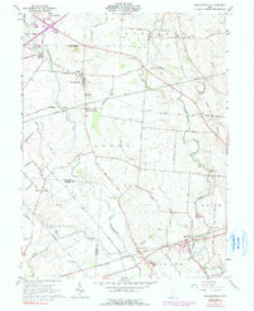
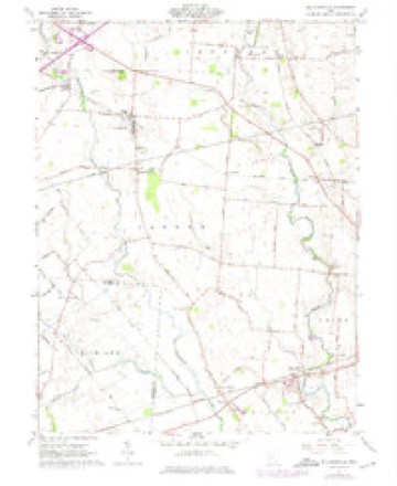
1916 to 1986The same ground, surveyed 70 years apart. Drag the handle to wipe between them. Both sheets are United States Geological Survey originals; neither has been altered.

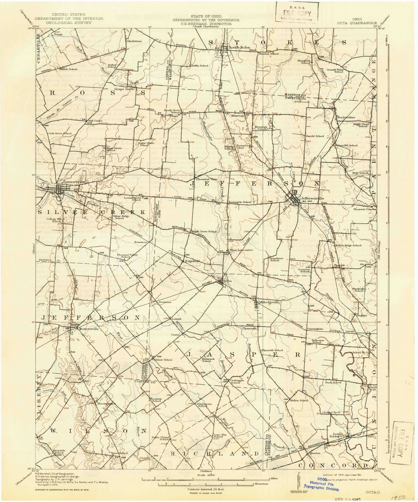
Topographic sheets covering this place
12 sheetsMatched by testing this settlement's coordinate against the published boundary of every sheet in the United States Geological Survey's historical collection. Each opens the scanned sheet at the Survey.
- 1916 USGS Octa quadrangle1:62500
- 1944 USGS Octa quadrangle1:62500
- 1947 USGS Columbus quadrangle1:250000
- 1961 USGS Columbus quadrangle1:250000
- 1961 USGS Milledgeville quadrangle1:24000
- 1961 USGS Milledgeville quadrangle1:24000
- 1961 USGS Milledgeville quadrangle1:24000
- 1962 USGS Columbus quadrangle1:250000
- 1967 USGS Columbus quadrangle1:250000
- 1967 USGS Columbus quadrangle1:250000
- 1986 USGS Springfield quadrangle1:100000
- 1986 USGS Springfield quadrangle1:100000







In the county-history sources
4,635 words on this townshipHistory of Fayette County, Ohio : Her People, Industries and Institutions, published 1914 names this settlement in its chapter on Jasper Township. These are the passages that mention it, exactly as the scans read.
Another name among the pioneers of Jasper township and Fayette county "which should never lose a place in the annals of the same is that of John Coons, of whom Doctor Mason, of Milledgeville, wrote many years since the following, in substance : "One by one the old pioneers are dropping off. 'Uncle Johnny' Coons, as he was familiarly called, has gone. He died after a short illness, leaving a family of three children beyond the age of fifty years. 'Uncle John' was born in Fredericksburg, Virginia, in 1792, and his boyhood days were spent in welding the old flint-lock musket barrels at a government shop in the town of his birth. Subsequently he enlisted as a soldier in the War of 181 2, serving until peace was declared, after which he drew a pension so long as he lived. He married Hannah Jones in 1820 and set out for the then 'far west,' traveling in a wagon, through an almost impassable wilderness, with no one to share his lonely and perilous undertaking save his newly-made wife of but a few days. The land he spent his last days on was bought by him at three dollars per acre in about 1830. In 1880 much of the timber on it could not be counted too high at one hundred dollars per acre. At his death he was worth about seventy-five thousand dollars. He was not a church member, but was known for his deeds of kindness and benevolence among the poor and needy. He used to watch through the long weary hours of the night at the bedside of some sick neighbor; even in times of epidemics he chanced his life where others failed to respond. His life work was his best monument, for his deeds truly live in the hearts and lives of many a man of this county where he labored so long and ably for the good of others."
Passage source: History of Fayette County, Ohio : Her People, Industries and Institutions, published 1914.
Milledgeville, which place in 19 10 had a population of one hundred and eighty-seven, is at a point in Jasper township, one mile north from old village of Plymouth on the Chicago, Hammond &: Detroit railroad. It was laid out in 1855 by James Hogue. The first building here was the Milledgeville mill, built in 1855 by Straley, Creamer & Company. The first store was that of Jacob Creamer in 1856. The first brick store room was that of G. L. McAllister, in 1879. The Lamb & Murphy brick block was built in 1880. In 1878 a grocery was established by J. T. Hiser. C. M. Bush opened his hotel here in 1879, and sold to Joseph Rush. In 1881 Doctor Spangler bought the property and refitted the same. Doctor Culy was the first doctor of the village, he locating in Milledgeville in 1863. Prior to 1871 a shoe shop and a wagon shop were in operation. In an account of the village in 1 88 1 it is found that at that date the business of Milledgeville consisted of one mill, two groceries, one hotel, two doctors, one boot and shoe store, one restaurant, a postoffice, and one large store owned by Lamb, Murphy & Companv, who handled dry goods, groceries, hardware, drugs, boots and shoes, queensware and farm implements.
Passage source: History of Fayette County, Ohio : Her People, Industries and Institutions, published 1914.
The present standing of Milledgeville is about as follows : Its population is one hundred and eighty-seven. The interests include these : Milledgeville bank ; Acton Brothers, clothing and shoes ; Charles B. Hooker and A. H. Lamar, restaurants ; Fred Warning, hardware ; Gidding Brothers, grain and lumber; Elmer M. Allen, coal dealer; Fred Warning, harness; Acton Brothers and W. H. Chamberlin, groceries ; Drs. J. R. Adams and A. N. Vandeman, physicians. The churches are the Methodist Protestant and Baptist denominations.
Passage source: History of Fayette County, Ohio : Her People, Industries and Institutions, published 1914.
Machine-read from a century-old scan, so expect the errors a machine makes: misspelled names, dropped words, stray characters.
Read the whole chapter on Jasper Township - it names this place 1 more 1 time.
Specimens collected near this place
12 of 160 shownRegional context, not property-specific evidence. Museums hold 160 specimens collected within 10 miles of Milledgeville between 1882 and 1975: 147 Animalia, 7 Fungi, 6 Plantae. 12 distinct Species records are shown. Collected by Bowles, P. (Pearl), Brubaker, J. A. & Higgins, Brubaker, J. A. & Link, B. and others. Each is a physical object with a catalogue number, and each entry opens the museum's record. This is what was collected and kept, not a survey of what lives here - nothing can be concluded from a species being absent.
| Image | Species | Year | Collected by | Where, as recorded |
|---|---|---|---|---|
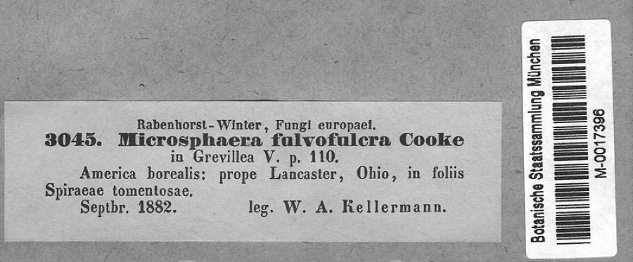 | Podosphaera clandestina var. clandestina (Wallr.) Lév. | 1882 | Kellerman, W.A. | America borealis: prope Lancaster, Ohio, in foliis Spiraeae tomentosae. |
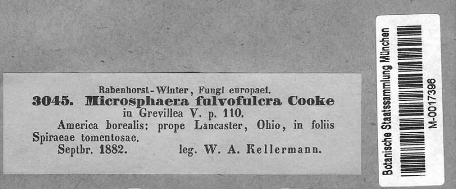 | Spiraea tomentosa L. | 1882 | Kellerman, W.A. | America borealis: prope Lancaster, Ohio, in foliis Spiraeae tomentosae. |
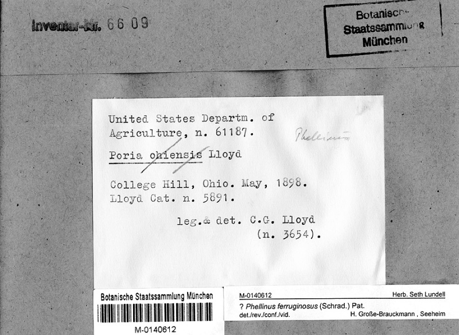 | Phellinus ferruginosus (Schrad.) Pat. | 1898 | Lloyd, C.G. | College Hill, Ohio |
 | Gymnosporangium globosum (Farl.) Farl. | 1901 | Hartley C. P. | Sabina |
 | Accipiter cooperii (Bonaparte, 1828) | 1907 | Hegler, A. (Almer) | Fairview, Fayette, Ohio, USA |
 | Buteo jamaicensis borealis (Gmelin, 1788) | 1907 | Hegler, A. (Almer) | Fairview Sta., Fayette, Ohio, USA |
_2.jpg) | Buteo lagopus sanctijohannis (Gmelin, 1788) | 1907 | Hegler, A. (Almer) | Fairview Sta., Fayette, Ohio, USA |
 | Falco rusticolus obsoletus (J.F.Gmelin, 1788) | 1907 | Hegler, A. (Almer) | Washington C.H., Fayette, Ohio, USA |
| Tiphiidae | 1925 | Pallister, J. C. (John C.) | Madison, Fayette Co., Ohio, USA | |
 | Noturus miurus Jordan, 1877 | 1926 | Wickliff, E. L. (Edward L.) | water unknown, #10 Fayette Co, n/a, township n/a |
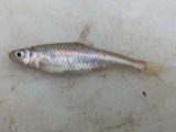 | Opsopoeodus emiliae Hay, 1881 | 1926 | Wickliff, E. L. (Edward L.) | Sugar Creek, near NE corner of Clinton County OH locality is approximate based off Fishes of Ohio distribution map |
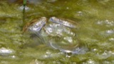 | Rana clamitans Latreille, 1801 | 1929 | Walker, C. F. (Charles F.) & Trautman, M. B. (Milton Bernard) | SW Wayne Twp., Fayette Co., Ohio |
All 160 specimens within 10 miles, at the Global Biodiversity Information Facility.
Storms near this place
4 since 2014Regional context, not property-specific evidence. The National Weather Service names Milledgeville in 4 storm reports between 2014 and 2020: 3 thunderstorm wind, 1 tornado. No death or injury is recorded in these reports. Each account below is quoted exactly as the forecast office filed it, from the NOAA Storm Events Database, and each date opens the federal record of that event.
| When | Event | Place named | Harm | What the report says |
|---|---|---|---|---|
| June 2016 | Tornado (EF1) | Milledgeville | $110,000 | The first sign of tornadic damage was observed near the corner of|Palmer Road NW and Harmony Road. Siding was removed from multiple|sides of a two story home, particularly on the southeast facing|side. Large tree limbs were also knocked down near this residence.||Damage continued to the southeast along Harmony Road and onto|Burnett Perrill Road. Damage primarily affected hardwood trees,|and several large branches were snapped from the trees. The|orientation of the trees exhibited a convergent pattern to the|damage. Siding was also removed from a garage at a residence on|Burnett Perrill Road.||Near the intersection of Burnett Perrill Road and Jasper-Coil|Road, numerous evergreen trees were snapped or uprooted on the|Jasper-Coil Road side.||The tornado moved across a cornfield and then across Bush|Cemetary on Bush Road. Tree damage at Bush Cemetary was extensive|and consisted of both snapped and uprooted trees thrown in|multiple directions. A well-defined swirl was noted in the|cornfield to the southeast of Bush Cemetary.||The most significant damage was observed along U.S. Route 22. Two|homes along the 3700 block of US Route 22 suffered structural|damage. One of the homes suffered partial uplift of the roof and|a significant loss of the covering of the roof. The garage was|also heavily damaged and the front porch was lifted. Leaf and|other debris splatter was observed on all sides of the home.|Spruce trees were uprooted and large limbs from other trees were|broken. The residence located on the opposite side of U.S. Route|22 had shingles and siding removed. An un-attached one car garage|was also destroyed. Damage in this area was estimated to be EF1 in|nature, with maximum winds near 100 mph.||To the southeast of this area, sporadic damage to trees and power|poles was noted, however the damage was more consistent with|straight-line winds. The survey also concluded that damage in the|Jasper Mills area was also caused by straight-line winds. |
| May 2020 | Thunderstorm Wind | Milledgeville | $4,000 | A few trees fell into power lines near the intersection of Marchant-Luttrell Road and State Route 729. |
| June 2020 | Thunderstorm Wind | Milledgeville | $4,000 | Several trees were knocked down between Miami Trace NW Road and Palmer NW Road. |
| April 2014 | Thunderstorm Wind | Milledgeville | $1,000 | A tree was downed on Church Street in Millageville due to thunderstorm winds. |
Nearest settlements
The eight closest, with where each one stands in the county. Distances are straight-line, computed from the Geographic Names Information System coordinates.
| Map | Place | Distance | Sheets |
|---|---|---|---|
| South Plymouth | 0.9 miles | 12 | |
| Octa | 1.6 miles | 12 | |
| Cunningham | 2.2 miles | 12 | |
| West Lancaster | 2.4 miles | 12 | |
| Parrott | 3.3 miles | 12 | |
| Luttrell | 3.3 miles | 11 | |
| Edgefield | 3.4 miles | 11 | |
| Pearsons (historical) | 3.9 miles | 11 |
Elsewhere
Matched on this settlement's Geographic Names Information System number rather than its name, so it cannot be a different place of the same name in another state.
| Wikipedia article on Milledgeville | An encyclopaedic summary. Its text is share-alike, so it is linked here rather than copied. |
| Wikidata item Q1935434 | The structured record the population and elevation above come from. Public domain (CC0). |
Provenance
This settlement is recorded in the Geographic Names Information System as feature 1065026. The sheet list is computed by point-in-boundary test against the United States Geological Survey's historical topographic inventory. Both are works of the United States government and carry no copyright under 17 U.S.C. 105.
Specimens. Global Biodiversity Information Facility (GBIF), https://www.gbif.org/. Only records licensed CC0 or CC BY are used. Records licensed CC BY-NC are excluded because this site carries advertising. Images are checked individually and any whose licence is non-commercial, no-derivatives or unreadable is refused.
Storms. NOAA National Centers for Environmental Information, Storm Events Database https://www.ncei.noaa.gov/stormevents/ A work of the United States government, no copyright under 17 U.S.C. 105. Narratives are quoted verbatim from the National Weather Service report and are not edited or summarised.