 Block
Block
Moline, Ohio
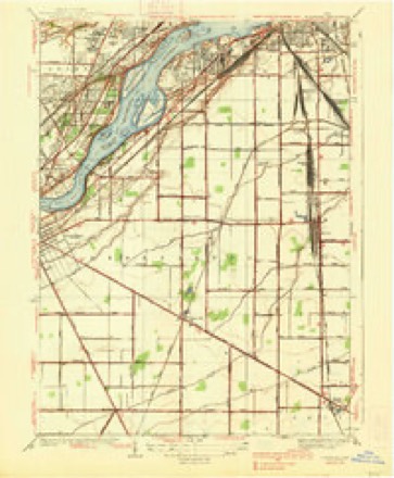
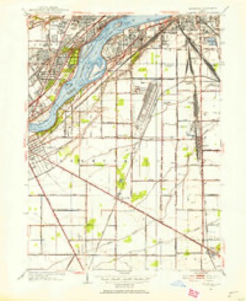
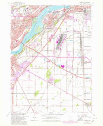
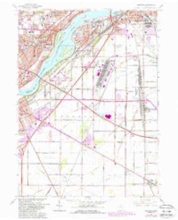
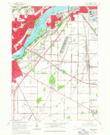
14 topographic sheets cover this place, the earliest surveyed in 1900 and the latest in 1986. It stands in Lake Township. It lies in ZIP code area 43465. The Survey maps it on the Rossford quadrangle.
Then and now
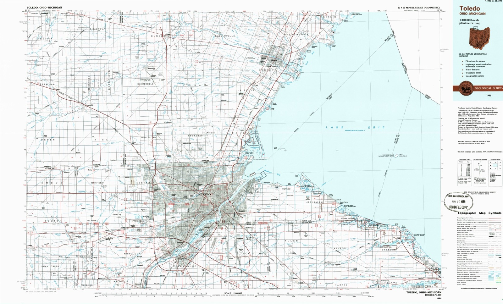
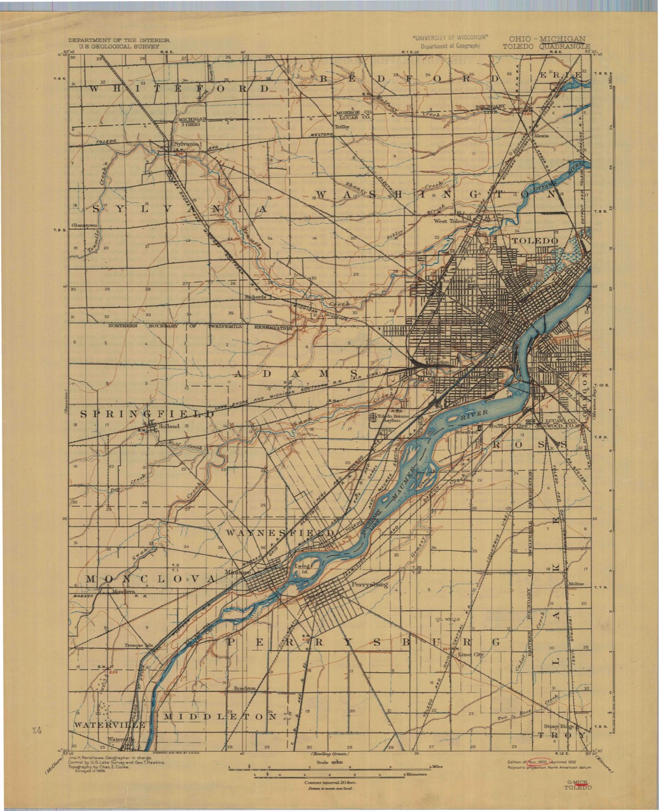
1900 to 1986The same ground, surveyed 86 years apart. Drag the handle to wipe between them. Both sheets are United States Geological Survey originals; neither has been altered.
Compare 1900 against another survey:
Topographic sheets covering this place
14 sheetsMatched by testing this settlement's coordinate against the published boundary of every sheet in the United States Geological Survey's historical collection. Each opens the scanned sheet at the Survey.
- 1900 USGS Toledo quadrangle1:62500
- 1934 USGS Rossford quadrangle1:24000
- 1938 USGS Rossford quadrangle1:31680
- 1951 USGS Rossford quadrangle1:24000
- 1956 USGS Toledo quadrangle1:250000
- 1956 USGS Toledo quadrangle1:250000
- 1956 USGS Toledo quadrangle1:250000
- 1956 USGS Toledo quadrangle1:250000
- 1961 USGS Toledo quadrangle1:250000
- 1965 USGS Rossford quadrangle1:24000
- 1965 USGS Rossford quadrangle1:24000
- 1965 USGS Rossford quadrangle1:24000
- 1986 USGS Toledo quadrangle1:100000
- 1986 USGS Toledo quadrangle1:100000





Specimens collected nearby
12 of 194 shownMuseums hold 194 specimens collected within 10 miles of Moline between 1875 and 1975: 190 Animalia, 2 Plantae, 2 Fungi. 12 distinct Species records are shown. Collected by Aborn, R., C. Rutter, CL & LC Hubbs and others. Each is a physical object with a catalogue number, and each entry opens the museum's record. This is what was collected and kept, not a survey of what lives here - nothing can be concluded from a species being absent.
| Image | Species | Year | Collected by | Where, as recorded |
|---|---|---|---|---|
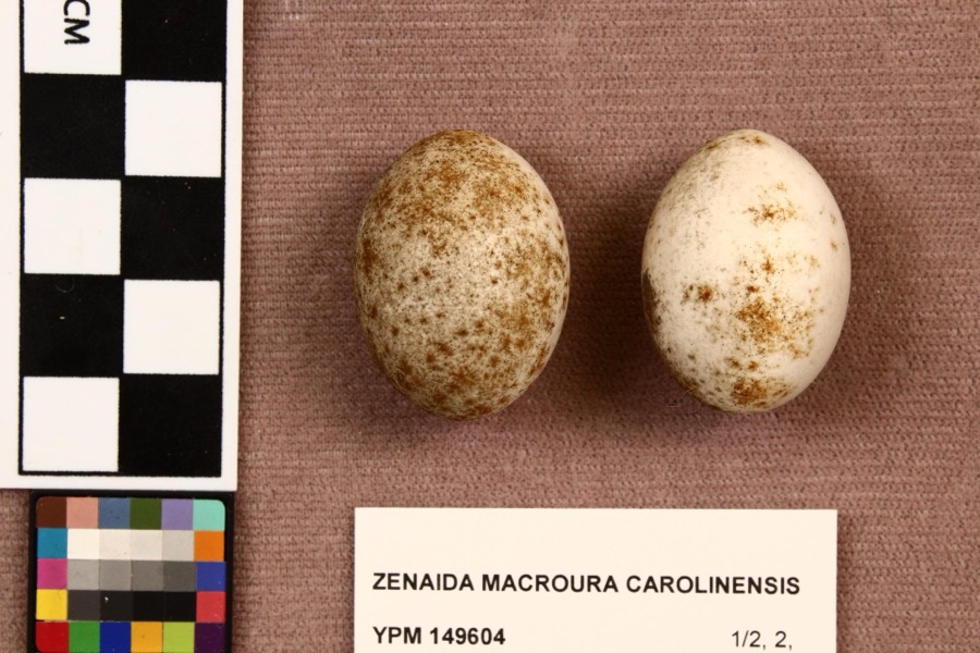 | Zenaida macroura carolinensis (Linnaeus, 1766) | 1907 | L. L. Redick | Perrysburg |
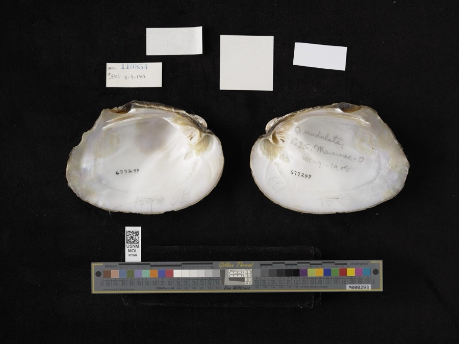 | Amblema plicata (Say, 1817) | 1908 | not recorded | Maumee |
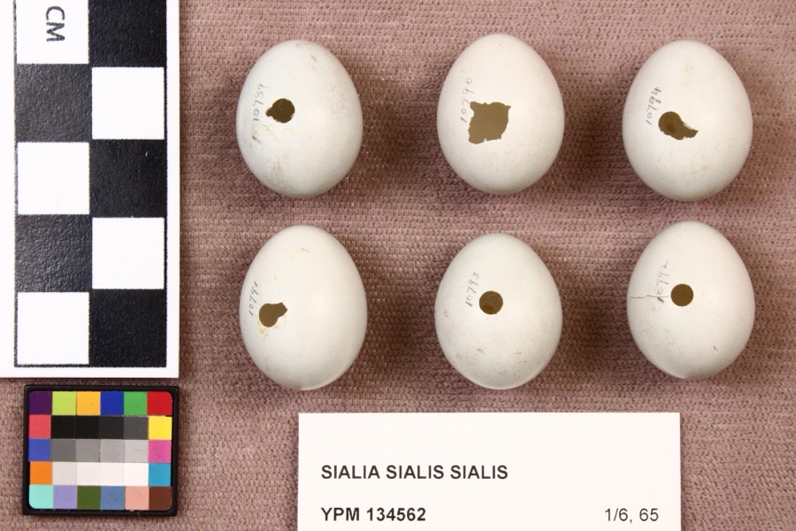 | Sialia sialis sialis (Linnaeus, 1758) | 1920 | L. L. Redick | Perrysburg |
 | Cardinalis cardinalis cardinalis (Linnaeus, 1758) | 1875 | Langdon | Indian Hill, Kane County |
 | Orconectes propinquus (Girard, 1852) | 1893 | P. Kirsch | Maumee Basin |
 | Palaemonetes kadiakensis M.J.Rathbun, 1902 | 1893 | P. Kirsch | Maumee Basin |
 | Ambloplites rupestris (Rafinesque, 1817) | 1894 | C. Rutter | Toledo (Perrysburg), Ohio |
 | Anaxyrus americanus (Holbrook, 1836) | 1894 | not recorded | Perrysburg, Maumee River |
 | Cambarus rusticus Girard, 1852 | 1894 | C. Rutter | Perrysburg, Presque Isle |
 | Dorosoma cepedianum (Lesueur, 1818) | 1894 | C. Rutter | Maumee River at Perrysburg, Ohio |
 | Graptemys geographica (Lesueur, 1817) | 1894 | not recorded | Perrysburg, Maumee River |
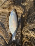 | Hiodon tergisus Lesueur, 1818 | 1894 | C. Rutter | Maumee River at Perrysburg, Ohio |
All 194 specimens within 10 miles, at the Global Biodiversity Information Facility.
Mines and quarries nearby
1 within 5 milesThe federal mineral resources record lists 1 working within 5 miles of Moline: 1 plant. All of them still produce. What was taken out: Stone, Crushed/Broken. Distance is straight-line from the map coordinates, so a quarry counted here may appear on a neighbouring settlement's page as well.
| Where | Site | Commodity | Status | Recorded |
|---|---|---|---|---|
| Lime City Plant | Stone, Crushed/Broken | Plant |
Storms nearby
1 since 2010The National Weather Service names Moline in 1 storm report between 2010 and 2010: 1 tornado. The reports record 7 deaths and 28 injuries. Each account below is quoted exactly as the forecast office filed it, from the NOAA Storm Events Database, and each date opens the federal record of that event.
| When | Event | Place named | Harm | What the report says |
|---|---|---|---|---|
| June 2010 | Tornado (EF4) | Moline | 7 killed, 28 hurt, $100,000,000 | A devastating tornado moved across portions of northern Wood County during the late evening hours of June 5th. The tornado reached a peak intensity of EF4 and was responsible for the deaths of seven people. Five of the victims died immediately with the other two passing away from their injuries at later dates. The initial touchdown occurred east of Perrysburg along Oregon Road just to the north of the Ohio Turnpike. The tornado then moved east northeast toward Toledo Metcalf Field as an EF0 to EF1. The tornado intensified to an EF2 as it crossed East Broadway Street. Over two dozen homes in a neighborhood bordered by East Broadway to the west and State Route 795 to the north and east were heavily damaged or destroyed. The worst of the damage was along Shawnee and Neill Avenues in this neighborhood. The tornado then crossed State Route 795 and followed the highway toward Metcalf Field. The tornado intensified to EF3 at that time. Several homes along Moline-Martin Road were destroyed between State Route 795 and Metcalf Field. An occupant of one of the homes, an 87 year old man, was injured by the tornado and later died. As the tornado approached Metcalf Field it crossed a railroad yard and overturned a couple dozen railroad cars. The tornado then moved across the southern end of the airport grounds and destroyed the Lake Township Administrative and Police Department building located just northwest of the intersection of Cummings Road and State Route 795. A 20 year old female was killed by the tornado just outside of the police department. She had left her vehicle along with her boyfriend and child to seek refuge in the police station. She was caught outside and was reportedly killed by flying debris. At the police station, the tornado destroyed at least six police vehicles and one emergency response vehicle. The emergency response vehicle was found over 1000 feet away from its original position. One police vehicle was found wrapped around a large tree. After doing extensive damage to an agricultural business, the tornado struck the Lake Local School District complex along State Route 795 and Lemoyne Road. Lake High School took a direct hit from the tornado and was damaged enough to be considered destroyed. The nearby middle and elementary schools sustained considerable roof damage. The high school gymnasium was scheduled to hold a commencement ceremony for the graduating senior class on June 6th. Large sections of the gymnasium collapsed. A field house, cafeteria and auditorium adjacent to the high school were destroyed. At least eight school buses were overturned and destroyed by the tornado. The tornado continued to move parallel to and just north of State Route 795 at EF3 intensity. A 56 year old female was killed by flying debris while driving her car on State Route 795 near the school complex. The woman's daughters were following in another car which was also destroyed. The daughters both sustained minor injuries. The tornado continued east northeast and crossed Interstate 280 just north of the State Route 795 interchange before moving across open fields for about a mile. The tornado may have briefly weakened to EF2 intensity, but then strengthened back to EF3 intensity as it crossed Bradner Road to the west of Millbury. The tornado destroyed several homes in a neighborhood bordered by Bradner Road to the west and Cherry Street to the south. A 47 year old man was killed in house on Case Road in this neighborhood. The man's daughter was the valedictorian of the graduating senior class at Lake High School which was destroyed by the tornado. The tornado then intensified to EF4 as it approached Main Street on the north side of Millbury. Over a dozen homes were destroyed or heavily damaged along Main Street. A 36 year old woman and her four year old son were killed in one of the destroyed homes on Main Street. The woman's 37 year old husband died on June 12th from injuries sustained from the tornado. Several more homes were destroyed or heavily damaged on Hille Drive and Woodville Road before the tornado crossed North Fostoria Road and moved into Ottawa County as a weak EF3 or strong EF2 tornado. This tornado was on the ground for around six and a half miles in Wood County and destroyed or heavily damaged over 60 homes. Dozens of additional homes sustained minor damage with another couple hundred homes affected by the storm. Dozens of vehicles were also destroyed. Hundreds of trees were toppled or snapped by the tornado along the damage path which was up to 400 yards in width. The tornado debarked some of the larger trees along the damage path. At least one high tension utility pole was toppled by the tornado and widespread power outages occurred in Millbury and Walbridge. Damage to the Lake Township infrastructure was estimated at five million dollars with tens of millions of losses to the Lake Local School District. The exact number of injuries caused by this tornado is unknown, but at least 17 people had to be hospitalized in nearby Toledo. Debris from this tornado has been found dozens of miles away, including on some of the islands in western Lake Erie. |
Nearest settlements
The eight closest, with where each one stands in the county. Distances are straight-line, computed from the Geographic Names Information System coordinates.
| Map | Place | Distance | Sheets |
|---|---|---|---|
| Country Meadows | 0.2 miles | 14 | |
| Indian Creek | 0.3 miles | 14 | |
| Cummings (historical) | 1.0 miles | 17 | |
| Starbright Addition | 1.4 miles | 14 | |
| Lakemont | 2.0 miles | 14 | |
| Walbridge | 2.2 miles | 17 | |
| Stanley | 2.3 miles | 14 | |
| Hobart | 2.4 miles | 14 |
Provenance
This settlement is recorded in the Geographic Names Information System as feature 1048981. The sheet list is computed by point-in-boundary test against the United States Geological Survey's historical topographic inventory. Both are works of the United States government and carry no copyright under 17 U.S.C. 105.
Specimens. Global Biodiversity Information Facility (GBIF), https://www.gbif.org/. Only records licensed CC0 or CC BY are used. Records licensed CC BY-NC are excluded because this site carries advertising. Images are checked individually and any whose licence is non-commercial, no-derivatives or unreadable is refused.
Mines and quarries. USGS Mineral Resources Data System (MRDS) https://mrdata.usgs.gov/mrds/ A work of the United States government, no copyright under 17 U.S.C. 105.
Storms. NOAA National Centers for Environmental Information, Storm Events Database https://www.ncei.noaa.gov/stormevents/ A work of the United States government, no copyright under 17 U.S.C. 105. Narratives are quoted verbatim from the National Weather Service report and are not edited or summarised.