 Block
Block
Monroe, Ohio
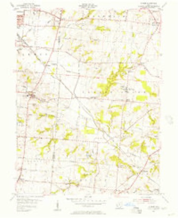
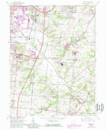
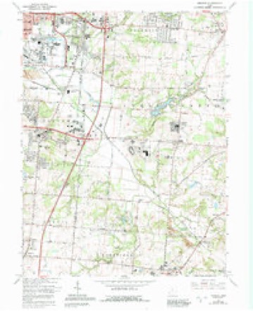
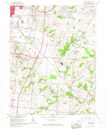
16 topographic sheets cover this place, the earliest surveyed in 1904 and the latest in 1986. It stands in Lemon Township. It lies in ZIP code area 45050. The Survey maps it on the Monroe quadrangle. 15,412 people lived here at the 2020 count. It stands 833 feet above sea level.
Population over time
2 figuresMonroe grew from 12,442 to 15,412 between 2010 and 2020. These are the recorded population figures Wikidata holds for this place, reached through the Geographic Names Information System number this page is keyed on rather than by name, so they belong to this place and not to another of the same name. Most are census counts, but not all are: an early figure may be a founding or settlement estimate. The change column is computed, and is left blank where more than 20 years separate a figure from the one before it, because a gap that long is not a change between two counts.
| Year | People | Change |
|---|---|---|
| 2010 | 12,442 | |
| 2020 | 15,412 | +2,970 (+24%) |
Then and now
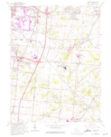
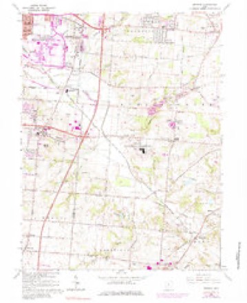
1904 to 1986The same ground, surveyed 82 years apart. Drag the handle to wipe between them. Both sheets are United States Geological Survey originals; neither has been altered.

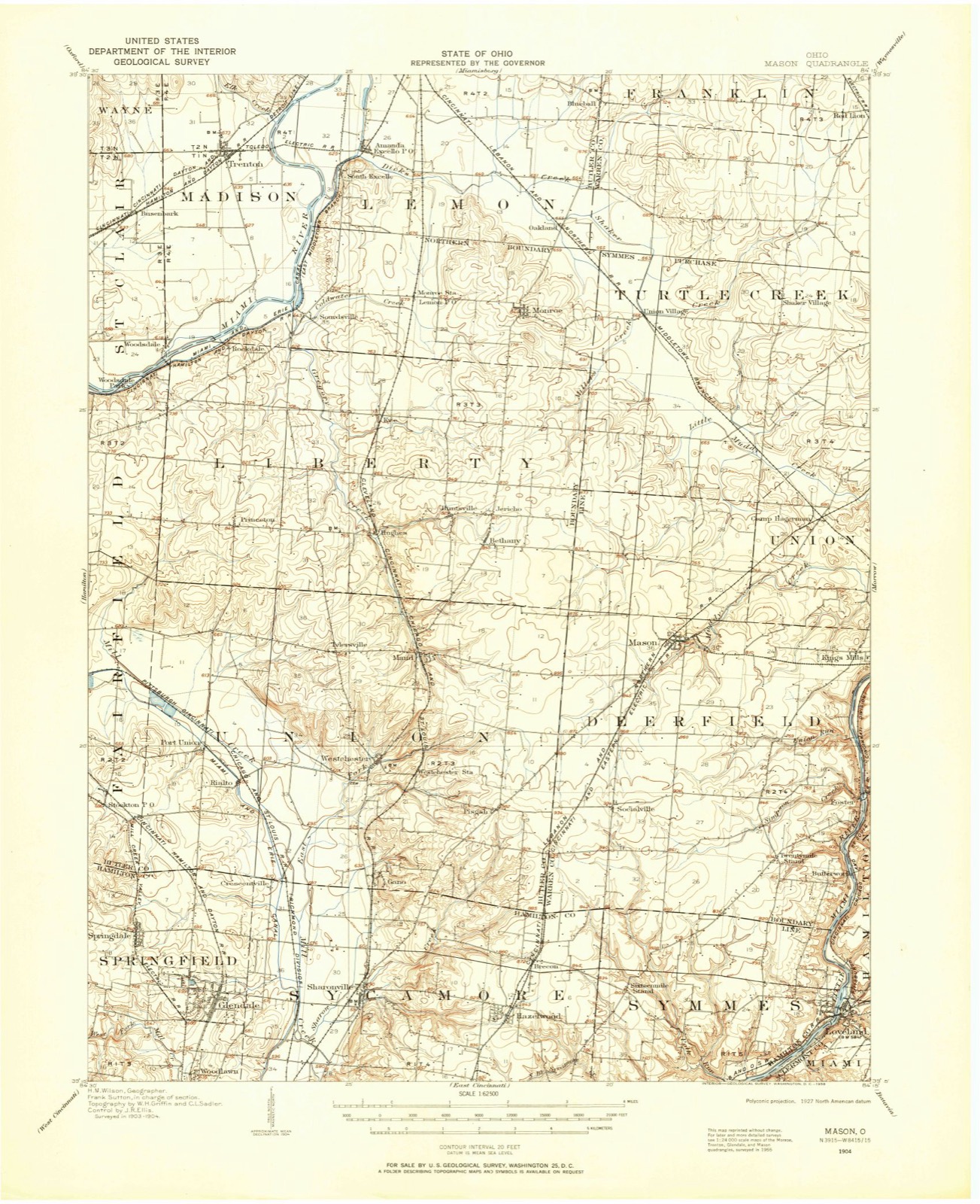
Topographic sheets covering this place
16 sheetsMatched by testing this settlement's coordinate against the published boundary of every sheet in the United States Geological Survey's historical collection. Each opens the scanned sheet at the Survey.
- 1904 USGS Mason quadrangle1:62500
- 1906 USGS Mason quadrangle1:62500
- 1906 USGS Mason quadrangle1:62500
- 1953 USGS Cincinnati quadrangle1:250000
- 1953 USGS Cincinnati quadrangle1:250000
- 1953 USGS Cincinnati quadrangle1:250000
- 1955 USGS Monroe quadrangle1:24000
- 1957 USGS Cincinnati quadrangle1:250000
- 1965 USGS Monroe quadrangle1:24000
- 1965 USGS Monroe quadrangle1:24000
- 1965 USGS Monroe quadrangle1:24000
- 1965 USGS Monroe quadrangle1:24000
- 1965 USGS Monroe quadrangle1:24000
- 1986 USGS Cincinnati quadrangle1:100000
- 1986 USGS Cincinnati quadrangle1:100000
- 1986 USGS Cincinnati quadrangle1:100000







In the county-history sources
40,991 words on this townshipA History and Biographical Cyclopædia of Butler County, Ohio : with Illustrations and Sketches of Its Representative Men and Pioneers, published 1882 names this settlement in its chapter on Lemon Township. These are the passages that mention it, exactly as the scans read.
Henry Weaver, his son, was born September 23, 1835, and was married in 1860 to Sarah Walters, born in Middletown in 1839, and dying in 1863. .He was married in 1865 to Martha Harkrader, born in Ohio in 18389. They have two children, - Joseph Henry, born October 1, 1869, and Thomas, born November 1, 1873. He is a member of the German Lutheran Church, in which he is a deacon, and owns and farms one hundred and seventeen acres.
Passage source: A History and Biographical Cyclopædia of Butler County, Ohio : with Illustrations and Sketches of Its Representative Men and Pioneers, published 1882.
John Reed, the grandfather of William Reed, and the ancestor of the Reed family in this neighborhood, cut his way through from Pennsylvania first to Kentucky, in 1798, settling near Crab Orchard. His wife's brother, whose name was Brotherton, was killed by the Tories in the Revolutionary War.' He remained here but a year or two, and then, with his wife and family, struck out for Cincinnati. This was in 1797, and from here he moved up the Miami, and here, three miles below Middletown, at the mouth of Dick's Creek, he located. The children were David, Robert, William, and John, Jane, Christian, Margaret, and Martha.
Passage source: A History and Biographical Cyclopædia of Butler County, Ohio : with Illustrations and Sketches of Its Representative Men and Pioneers, published 1882.
David Reed, the father of William Reed, was married in Pennsylvania to Miss Ruth Carricks, September 30, 1766, while yet in Pennsylvania. Her people were from the north of Ireland. Their son John, their oldest child, was born in 1794, when they went to Kentucky on horseback. They brought some fine horses with them to Ohio, but four of these were stolen one night by - the Indians. David, Robert, and their father followed them two days, but failing to catch the thieves, Robert and the father returned home, and David continued the search singly for three days longer, and was gone five days and nights. Upon reaching the Miami River at night, on his return, having no skiff, he took off his clothing, lashed his gun, powder-horn, and clothes to his back and swam across the stream. He was not fond of the noble red man, and, it was said, would occasionally shoot them down without much provocation. He died in 1812, and left five sons and four daughters: John, Thomas, William, Robert, David, Margaret, Jane, Elizabeth, and Ruth.
Passage source: A History and Biographical Cyclopædia of Butler County, Ohio : with Illustrations and Sketches of Its Representative Men and Pioneers, published 1882.
Machine-read from a century-old scan, so expect the errors a machine makes: misspelled names, dropped words, stray characters.
Read the whole chapter on Lemon Township - it names this place 21 more 21 times.
Photographs
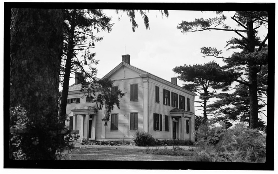
1 photograph,Taken for the Office of War Information and the Farm Security Administration, who photographed the country between 1935 and 1944. Works of United States government photographers, with no known restriction on use. Each opens its catalogue record.
Unattributed, . Library of Congress
Specimens collected near this place
12 of 293 shownRegional context, not property-specific evidence. Museums hold 293 specimens collected within 10 miles of Monroe between 1879 and 1973: 269 Animalia, 15 Fungi, 8 Plantae, 1 Unrecorded. 12 distinct Species records are shown. Collected by A. C. Billups, A.R. Gaufin, H.H. Ross, Arden R. Gaufin and others. Each is a physical object with a catalogue number, and each entry opens the museum's record. This is what was collected and kept, not a survey of what lives here - nothing can be concluded from a species being absent.
| Image | Species | Year | Collected by | Where, as recorded |
|---|---|---|---|---|
 | Coluber constrictor Linnaeus, 1758 | 1879 | not recorded | Hughes |
 | Diadophis punctatus arnyi Kennicott, 1859 | 1879 | not recorded | Hughes |
 | Lampropeltis triangulum (Lacépède, 1789) | 1879 | not recorded | Hughes |
 | Storeria dekayi (Holbrook, 1839) | 1879 | not recorded | Hughes |
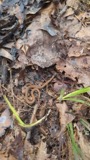 | Storeria occipitomaculata Storer, 1839 | 1879 | not recorded | Hughes |
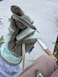 | Tropidoclonion lineatum (Hallowell, 1856) | 1879 | not recorded | Hughes |
| Liochlorophis vernalis (Harlan, 1827) | 1880 | not recorded | Monroe | |
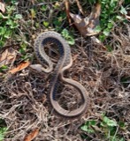 | Thamnophis sirtalis (Linnaeus, 1758) | 1880 | not recorded | Monroe |
 | Physella gyrina (Say, 1821) | 1898 | A. C. Billups | Middletown |
| Ascobolus aeruginosus (Oeder) Gillet | 1920 | Lloyd C. G. | Middletown | |
| Corticium Pers., 1794 | 1920 | Lloyd C. G. | Middletown | |
| Helotium Tode, 1790 | 1920 | Lloyd C. G. | Middletown |
All 293 specimens within 10 miles, at the Global Biodiversity Information Facility.
Mines and quarries near this place
4 within 5 milesRegional context, not property-specific evidence. The federal mineral resources record lists 4 workings within 5 miles of Monroe: 2 producers, 1 past producer, 1 unknown. 2 still produce. What was taken out: Sand and Gravel, Construction, Iron. Distance is straight-line from the map coordinates, so a quarry counted here may appear on a neighbouring settlement's page as well.
| Where | Site | Commodity | Status | Recorded |
|---|---|---|---|---|
| Armco Inc/ Middletown, Ohio | Iron | Unknown | ||
| Mecco Inc. | Sand and Gravel, Construction | Producer | ||
| Mecco, Incorporated Plt | Sand and Gravel, Construction | Past Producer | Sedimentary | |
| Middletown Pit | Sand and Gravel, Construction | Producer |
Storms near this place
21 since 1995Regional context, not property-specific evidence. The National Weather Service names Monroe in 21 storm reports between 1995 and 2025: 13 thunderstorm wind, 6 hail, 2 flash flood. No death or injury is recorded in these reports. Each account below is quoted exactly as the forecast office filed it, from the NOAA Storm Events Database, and each date opens the federal record of that event.
| When | Event | Place named | Harm | What the report says |
|---|---|---|---|---|
| June 2022 | Thunderstorm Wind | Monroe | $10,000 | Several large trees were snapped. |
| March 2025 | Thunderstorm Wind | Monroe | $5,000 | A backyard fence was downed and several poles were snapped. |
| June 2010 | Thunderstorm Wind | Monroe | $5,000 | Trees were down on a car and on a roof. Other trees were also damaged due to thunderstorm winds. |
| July 2023 | Thunderstorm Wind | Monroe | $4,000 | A few trees were downed. |
| June 2020 | Thunderstorm Wind | Monroe | $3,000 | Multiple trees were reported knocked down. |
| May 1995 | Thunderstorm Wind | Monroe | $3,000 | Several trees downed. |
| September 2018 | Thunderstorm Wind | Monroe | $2,000 | A couple of trees were downed at Kyles Station Road and Yankee Road. |
| May 2019 | Thunderstorm Wind | Monroe | $1,000 | A tree was downed on Britton Lane between State Route 63 and Ohio Avenue. |
| July 2017 | Flash Flood | Monroe | $1,000 | High water was reported flowing across Mason Avenue and a vehicle was stranded in high water on Bridle Creek Drive. |
| July 2015 | Thunderstorm Wind | Monroe | $1,000 | A tree was uprooted along Lebanon Street in Monroe. |
| June 2012 | Thunderstorm Wind | Monroe | $1,000 | A large tree was reported down on Lebanon Street due to damaging thunderstorm winds. |
| February 2011 | Thunderstorm Wind | Monroe | $1,000 | One tree and several large tree limbs were reported down due to damaging thunderstorm winds. |
| June 2015 | Thunderstorm Wind | Monroe | $250 | A large limb was knocked down on Lebanon Street near Monroe. |
| June 2010 | Thunderstorm Wind | Monroe | - | A trained spotter estimated the wind gust. |
| July 2001 | Flash Flood | Monroe | - | Thunderstorms produced heavy rain which caused Gregory Creek to overflow its banks. |
| April 2020 | Hail | Monroe | - | no account filed |
| September 2012 | Hail | Monroe | - | no account filed |
| April 2011 | Hail | Monroe | - | no account filed |
| June 2010 | Hail | Monroe | - | no account filed |
| June 1998 | Hail | Monroe | - | no account filed |
| May 1996 | Hail | Monroe | - | no account filed |
Nearest settlements
The eight closest, with where each one stands in the county. Distances are straight-line, computed from the Geographic Names Information System coordinates.
| Map | Place | Distance | Sheets |
|---|---|---|---|
| Brittany Heights | 1.1 miles | 16 | |
| Linn-Crest Acres | 1.5 miles | 16 | |
| Green Acres | 1.6 miles | 16 | |
| Brookview | 2.3 miles | 16 | |
| Kyles | 2.9 miles | 16 | |
| Oneida | 3.0 miles | 16 | |
| Liberty Trails | 3.1 miles | 16 | |
| South Middletown | 3.5 miles | 16 |
Elsewhere
Matched on this settlement's Geographic Names Information System number rather than its name, so it cannot be a different place of the same name in another state.
| Wikipedia article on Monroe | An encyclopaedic summary. Its text is share-alike, so it is linked here rather than copied. |
| Wikidata item Q1018314 | The structured record the population and elevation above come from. Public domain (CC0). |
Provenance
This settlement is recorded in the Geographic Names Information System as feature 1061157. The sheet list is computed by point-in-boundary test against the United States Geological Survey's historical topographic inventory. Both are works of the United States government and carry no copyright under 17 U.S.C. 105.
Specimens. Global Biodiversity Information Facility (GBIF), https://www.gbif.org/. Only records licensed CC0 or CC BY are used. Records licensed CC BY-NC are excluded because this site carries advertising. Images are checked individually and any whose licence is non-commercial, no-derivatives or unreadable is refused.
Mines and quarries. USGS Mineral Resources Data System (MRDS) https://mrdata.usgs.gov/mrds/ A work of the United States government, no copyright under 17 U.S.C. 105.
Storms. NOAA National Centers for Environmental Information, Storm Events Database https://www.ncei.noaa.gov/stormevents/ A work of the United States government, no copyright under 17 U.S.C. 105. Narratives are quoted verbatim from the National Weather Service report and are not edited or summarised.