 Block
Block
Moore, Ohio
12 topographic sheets cover this place, the earliest surveyed in 1916 and the latest in 1991. It stands in Tiffin Township. It lies in ZIP code area 45693. It stands on Cedar Run. The Survey maps it on the Lynx quadrangle. The federal gazetteer marks this settlement historical: it is no longer a populated place, though the surveys that recorded it still are.
Then and now
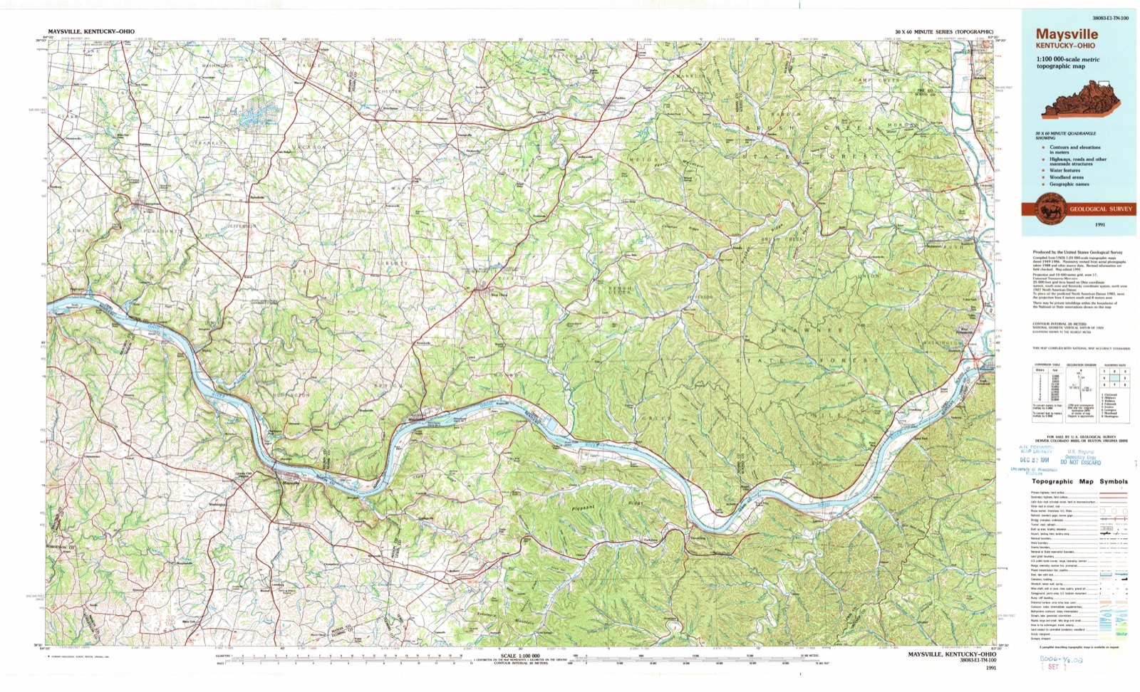
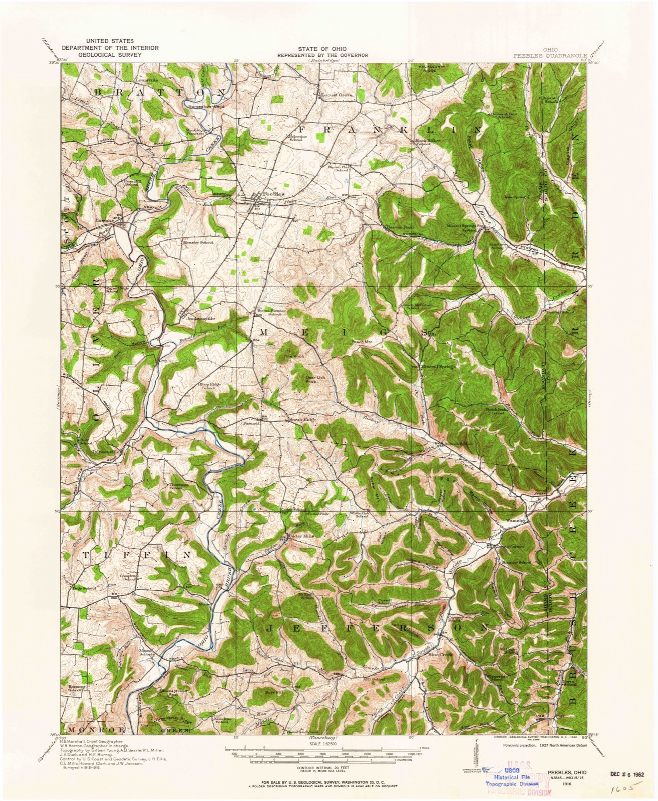
1916 to 1991The same ground, surveyed 75 years apart. Drag the handle to wipe between them. Both sheets are United States Geological Survey originals; neither has been altered.
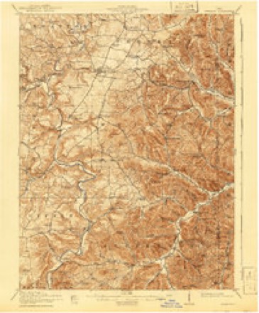
Topographic sheets covering this place
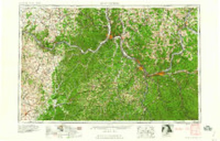
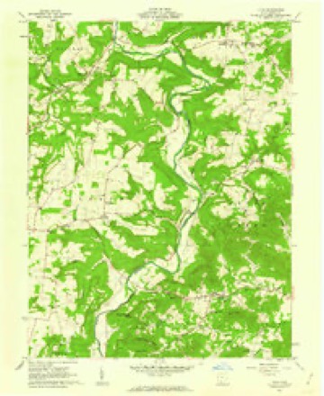
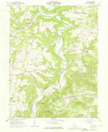
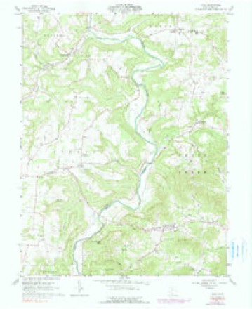
12 sheetsMatched by testing this settlement's coordinate against the published boundary of every sheet in the United States Geological Survey's historical collection. Each opens the scanned sheet at the Survey.
- 1916 USGS Peebles quadrangle1:62500
- 1918 USGS Peebles quadrangle1:62500
- 1918 USGS Peebles quadrangle1:62500
- 1957 USGS Huntington quadrangle1:250000
- 1957 USGS Huntington quadrangle1:250000
- 1957 USGS Huntington quadrangle1:250000
- 1960 USGS Huntington quadrangle1:250000
- 1961 USGS Lynx quadrangle1:24000
- 1961 USGS Lynx quadrangle1:24000
- 1961 USGS Lynx quadrangle1:24000
- 1986 USGS Maysville quadrangle1:100000
- 1991 USGS Maysville quadrangle1:100000
In the county-history sources
7,452 words on this townshipHistory of Adams County, Ohio, published 1900 names this settlement in its chapter on Tiffin Township. These are the passages that mention it, exactly as the scans read.
Stone Chapel - The society from which this church sprung was nearly contemporaneous with that at Moore's on Scioto Brush Creek. In 1797 Joseph Moore organized a class in Methodism at Isaac Wamsley's on Ohio Brush Creek with Simon Fields as leader. The first meeting house, constructed from logs in 1802, was known as Fields*. It was afterwards known as Bnrkett's, and later upon the erection of the present structure, "Stone Chapel." There is a graveyard there, but owing to a thick ledge of stone lying near the surface of the ground, it is not used much as a place of burial.
Passage source: History of Adams County, Ohio, published 1900.
January 16, 1804, the Commissioners having made their report, recommending a site about one-half mile south of Zane's Trace, on lands owned by Robert McClanahan. and near the central portion of the county, an act was passed to locate the county seat there permanently. The act provide! for the purchase of the lands of McClanahan and others adjoining to an amount not exceeding 150 acres at eight dollars per acre, by the Associate Judges of the county and to be paid for out of the county treasurv on their order ; the title to said lands to be vested in a Board of Trustees, comix)sed of Nathaniel Beasley, William Marshall, Salathiel Sparks, Aaron Moore, Benjamin Wood, William Collings and John r»riggs. This hoard was required to appoint a Clerk and a Surveyor, and to j)rocee(l to lay off lots with convenient streets for the new town to be named West I'nion. and to make and record a plat of the same. Notice of the sale of lots was rccjuircd to be published for thirty days in the Scioto Ga/rcfte, of Chillicothe. The County Commissioners were empowered to dispose of county property at Washington. When the number of lot owners reached thirty, they were required to meet and elect a new Board of Trustees to succeed the board appointed by the act. Members of the Board were elected annually thereafter.
Passage source: History of Adams County, Ohio, published 1900.
Friday, March 30. Appeared A. Moore, B. Wood, N. Beasley, S. Sparks, William Marshall and William Collings, half-past ten o'clock A. M., and employed Robert McClanahan to assist them and then proceeded to survey and stake off the inlots until half-past five o'clock P. M., and then adjourned.
Passage source: History of Adams County, Ohio, published 1900.
Machine-read from a century-old scan, so expect the errors a machine makes: misspelled names, dropped words, stray characters.
Read the whole chapter on Tiffin Township - it names this place 3 more 3 times.
Fires near this place
19 since 2007Regional context, not property-specific evidence. The federal wildfire occurrence database lists 19 fires within 5 miles of Moore (historical) between 2007 and 2020, burning about 86 acres in total. None started naturally. 4 were recorded as arson. Distance is straight-line from the map coordinates, so a fire counted here may appear on a neighbouring settlement's page as well.
| Reported cause | Fires |
|---|---|
| Debris and open burning | 9 |
| Arson/incendiarism | 4 |
| Power generation/transmission/distribution | 3 |
| Recreation and ceremony | 1 |
| Missing data/not specified/undetermined | 1 |
| Smoking | 1 |
The most recent of them, most recent first, with the day each was reported and the service that recorded it.
| Date | Cause | Size | Reported by | Name on the report |
|---|---|---|---|---|
| 3 September 2018 | Power generation/transmission/distribution | 1.0 acres | Ohio Department of Natural Resources | 10106 |
| 1 July 2017 | Smoking | under an acre | Ohio Department of Natural Resources | 8465 |
| 26 April 2014 | Missing data/not specified/undetermined | 15 acres | Ohio Department of Natural Resources | not named |
| 11 April 2018 | Debris and open burning | 2.0 acres | Ohio Department of Natural Resources | 10725 |
| 11 April 2018 | Debris and open burning | 2.0 acres | Ohio Department of Natural Resources | 10726 |
| 8 March 2020 | Recreation and ceremony | 33 acres | Ohio Department of Natural Resources | 15455 |
| 8 March 2020 | Debris and open burning | 1.0 acres | Ohio Department of Natural Resources | 15482 |
| 8 March 2016 | Power generation/transmission/distribution | 6.0 acres | Ohio Department of Natural Resources | 3654 |
Settlements close enough to share some of these fires:
Specimens collected near this place
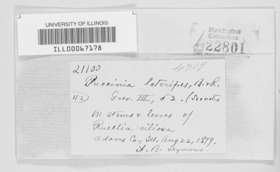
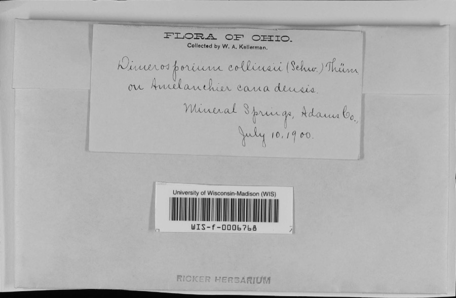
12 of 1,063 shownRegional context, not property-specific evidence. Museums hold 1,063 specimens collected within 10 miles of Moore (historical) between 1866 and 1975: 540 Animalia, 367 Fungi, 129 Plantae, 27 Protozoa. 12 distinct Species records are shown. Collected by A. B. Seymour, A. Cronquist, A. J. Sharp and others. Each is a physical object with a catalogue number, and each entry opens the museum's record. This is what was collected and kept, not a survey of what lives here - nothing can be concluded from a species being absent.
| Image | Species | Year | Collected by | Where, as recorded |
|---|---|---|---|---|
 | Puccinia lateripes Berk. & Ravenel | 1879 | A. B. Seymour | Adams County |
 | Apiosporina collinsii (Schwein.) Höhn. | 1900 | W.A. Kellerman | Mineral Springs |
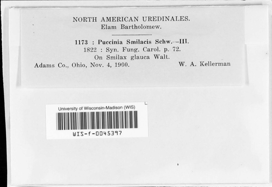 | Puccinia smilacis Schwein. | 1900 | W.A. Kellerman | |
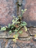 | Asplenium ruta-muraria L. | 1866 | C. B. Dyer | |
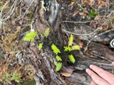 | Pleopeltis michauxiana (Weath.) Hickey & Sprunt | 1866 | C. B. Dyer | |
 | Stigmella platani Fuckel | 1892 | Kellerman W. A. | Mineral Springs |
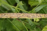 | Phyllachora graminis (Pers.) Fuckel | 1900 | Kern W. A. | Mineral Springs |
 | Acroneuria frisoni Stark & Brown, 1991 | 1925 | Clarence H. Kennedy | |
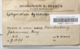 | Baeomyces byssoides (L.) P.Gaertn., B.Mey. & Scherb. | 1925 | Muegel, Harry R. | Mineral Springs, Oak Ridge |
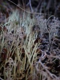 | Cladonia amaurocraea (Flörke) Schaer. | 1925 | Braun, E. Lucy | Mineral Springs, Oak Ridge |
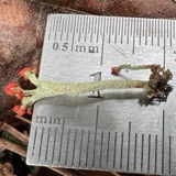 | Cladonia cristatella Tuck. | 1925 | Braun, E. Lucy | Mineral Springs, Oak Ridge |
| Cladonia fimbriata (L.) Fr. | 1925 | Braun, E. Lucy | Mineral Springs, Oak Ridge |
All 1,063 specimens within 10 miles, at the Global Biodiversity Information Facility.
Nearest settlements
The eight closest, with where each one stands in the county. Distances are straight-line, computed from the Geographic Names Information System coordinates.
| Map | Place | Distance | Sheets |
|---|---|---|---|
| Lynx | 1.9 miles | 12 | |
| Cedar Mills | 2.5 miles | 12 | |
| Tulip | 4.5 miles | 15 | |
| Dunkinsville | 4.6 miles | 12 | |
| Whippoorwill | 4.6 miles | 10 | |
| Fawcett | 4.9 miles | 12 | |
| Scrub Ridge | 5.1 miles | 12 | |
| Blue Creek | 5.4 miles | 12 |
Provenance
This settlement is recorded in the Geographic Names Information System as feature 1055885. The sheet list is computed by point-in-boundary test against the United States Geological Survey's historical topographic inventory. Both are works of the United States government and carry no copyright under 17 U.S.C. 105.
Wildfire. Short, Karen C. 2022. Spatial wildfire occurrence data for the United States, 1992-2020 [FPA_FOD_20221014]. 6th Edition. Fort Collins, CO: Forest Service Research Data Archive. https://doi.org/10.2737/RDS-2013-0009.6 Collected with United States Government funding and usable without additional permissions or fees.
Specimens. Global Biodiversity Information Facility (GBIF), https://www.gbif.org/. Only records licensed CC0 or CC BY are used. Records licensed CC BY-NC are excluded because this site carries advertising. Images are checked individually and any whose licence is non-commercial, no-derivatives or unreadable is refused.