100 topographic sheets and 15 fire insurance
atlases across 3 places.
Research this county
This curated hub for Adams County, Ohio brings together the page's documented record links, visible map or image evidence where published, and routes to related local records.
Use the page's provenance and linked records to distinguish the source material from the site's navigation and summaries.
How should I cite it?
Open the original record, preserve its repository and identifier, then use the citation tool for this page as a path back to the source.
Where should I go next?
Follow the county or state hub for related places and records, then use the guide for a source-aware research sequence.
From the record
“Was a Pennsylvanian, and had a brother most cruelly tortured and murdered by the Indians there. He vowed vengeance against all Indians, whether friends or enemies. It is probable that he has been the means of sending many a red man to the happy hunting ground.”
Ellis Palmer - A History of Adams County, Ohio, from Its Earliest Settlement to the Present Time, Including Character Sketches of the Prominent Persons Identified with the First Century of the Country's Growth .. (1900). Machine-read text.
12 National Register listings · 12 businesses named in the fire insurance atlases from 1897 to 1912 · the 1900 county history tells 6 stories and names 13 people · people the book names include Charlks S. Sparks Biographical Sketches 865 (Winchester Township, 1900) · Cash For All K. (Manchester Township, 1880) (machine-read).
Ohio within the United StatesAdams County within Ohio
Explore by year
What the record shows
3 places in this county were surveyed for fire insurance: Manchester, West Union, Winchester, between 1885 and 1937.
15 fire insurance atlas(es) survive for the county. Topographic coverage is national; fire insurance survey reached only incorporated places with something worth insuring.
814 topographic sheet readings cover the county's settlements.
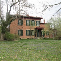
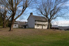
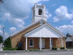
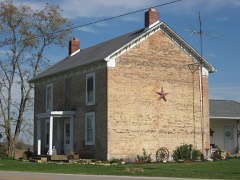
12 properties here are on the National Register of Historic Places, including 2 covered bridges, 2 houses and farms.
9 of the 12 listings were added during the 1970s.
The Geographic Names Information System records 63 populated places in this county; 0 are covered by at least one topographic sheet.
4 public-domain county histories, 1829 to 1900, supply 567,026 words of narrative reproduced here in full.
What happened here
6 accounts
A captivity, a drowning, a famine, a man
scalped clearing his lot in 1789. These are passages from A History of Adams County, Ohio, from Its Earliest Settlement to the Present Time, Including Character Sketches of the Prominent Persons Identified with the First Century of the Country's Growth .., written
while people who remembered the events were still alive, and each one
opens the section it comes from.
1900, Winchester Township
David Sinton Pioneer Character Sketches 619
studied medicine with Dr. William B. Willson, and had qualified himself for a physician, when death cut him off in his early manhood. He had just begun the practice of medicine at the time of his death. One of David Sinton's sisters never left Ireland, but married there. His other sister, who came with the remainder of the family to this country, married John Sparks, the banker, and died at Union Landing of the cholera, in 1833.
He is well remembered by a few of the oldest surviving citizens of Adams County as a strong minister. He served some nine years in the Conference of Indiana, and while stationed at Logansport fell a victim to an epidemic of erysipelas. He was taken in the morning with a swelling of the throat. His breathing was protracted a few hours by an incision in his throat and the yse of a tube.
He is well remembered by a few of the oldest surviving citizens of Adams County as a strong minister. He served some nine years in the Conference of Indiana, and while stationed at Logansport fell a victim to an epidemic of erysipelas. He was taken in the morning with a swelling of the throat. His breathing was protracted a few hours by an incision in his throat and the use of a tube.
Was a Pennsylvanian, and had a brother most cruelly tortured and murdered by the Indians there. He vowed vengeance against all Indians, whether friends or enemies. It is probable that he has been the means of sending many a red man to the happy hunting ground. It is related that on one occasion an Indian in passing through the neighborhood stayed overnight with Will G Ibert, just over the Brown county line.
Was a man of unusual size, and had tremendous muscular j owor. Tradition has it that on one occasion he crosseed the river and anchored his canoe at the mouth of Fishing-gut Creek, and a party of Indians passing that way espied his vessel. A part of them ambushed to watch the canoe, while five others went in pursuit of his trail.
The first settlers, as before stated, located within the stockade, and their houses were only a few rude cabins. Fear of the Indians prevented them improving the lands adjoining on the outside of the fort. The late Andrew Ellison, who was captured in 1793, while working on his out-lot adjoining the stockade, attests the danger.
Taken for the Office of War Information and
the Farm Security Administration, who photographed the country between
1935 and 1944. Works of United States government photographers, with no
known restriction on use. Each opens its catalogue record.
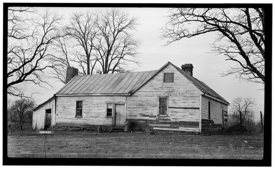
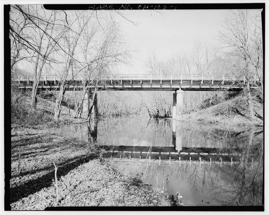
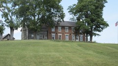
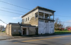
General Nathaniel Massie House, Buckeye Station Bluff, Route 52, Manchester, Adams County, OH Unattributed, . Library of CongressU.S. Route 52 Bridge, Spanning Isaacs Creek, Manchester, Adams County, OH Unattributed, . Library of Congress
Places on the National Register
12
Every property in this county listed on the
National Register of Historic Places, with the year it was listed and the
federal nomination document.
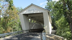
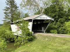
Adams County holds 2 covered bridges on
the National Register, more than any other property type here. Each is a listed
structure with a federal nomination on file.
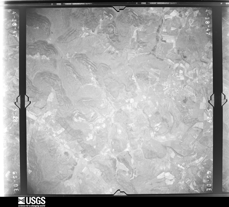
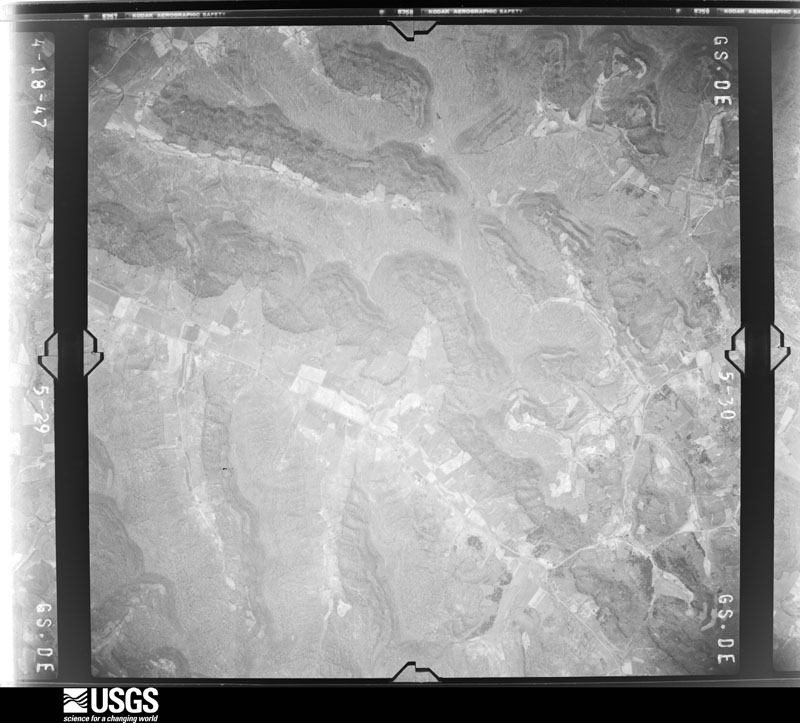
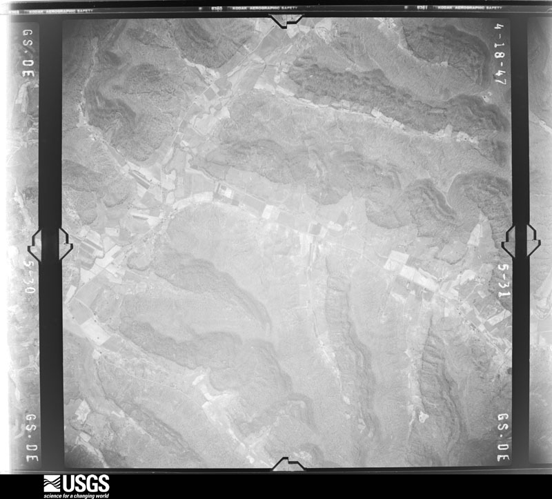
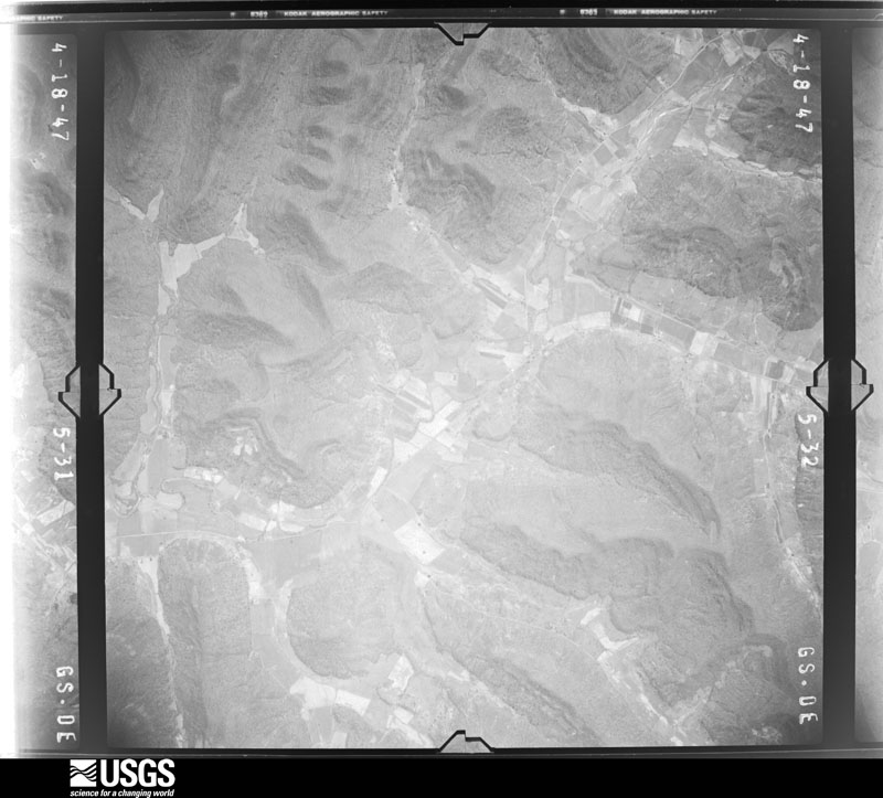
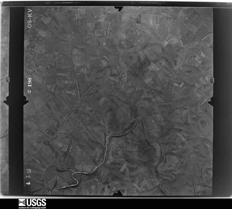
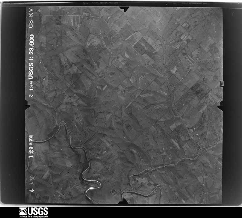
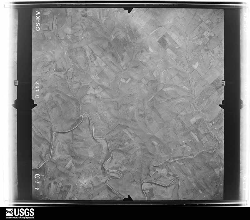
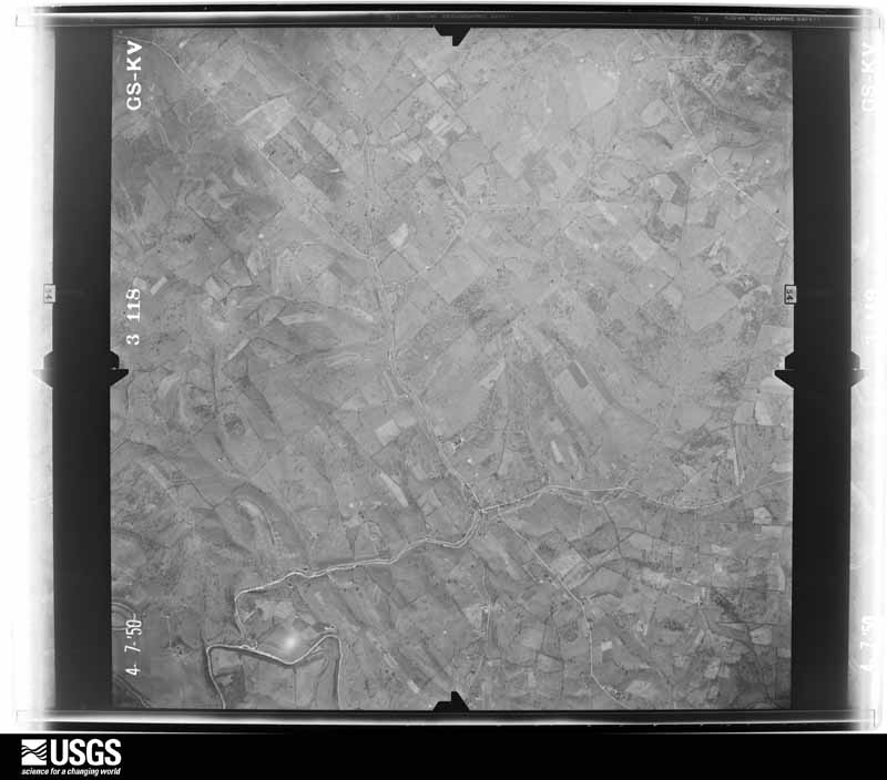
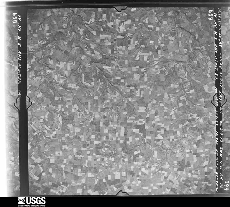
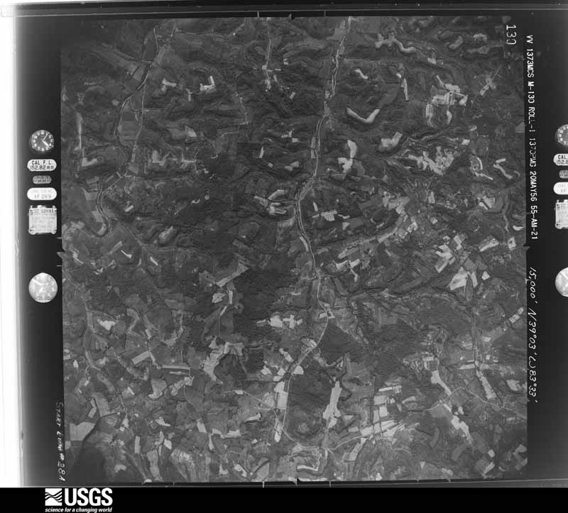
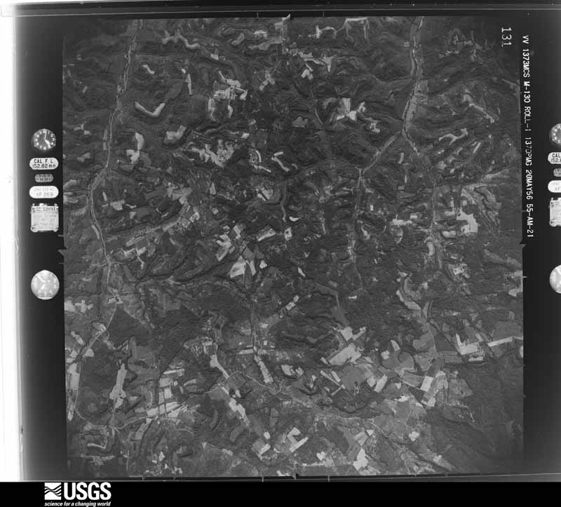
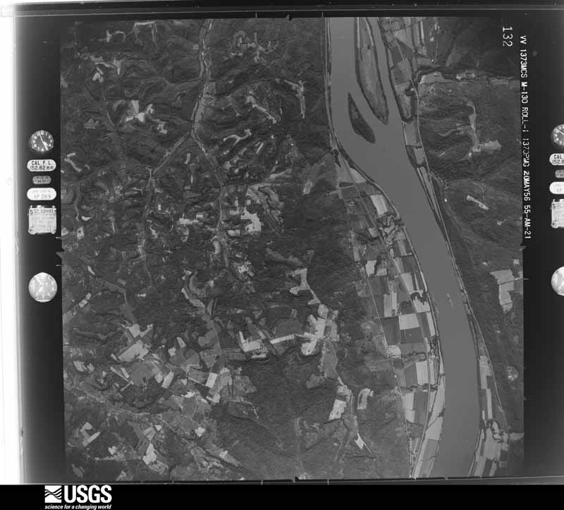
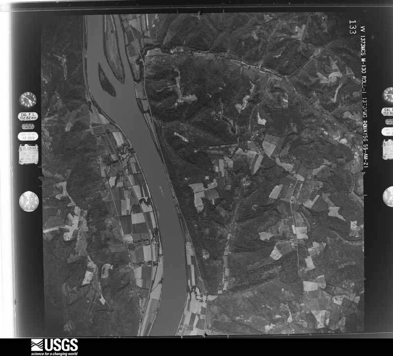
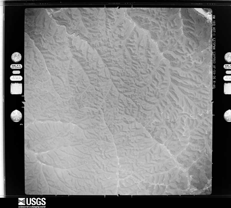
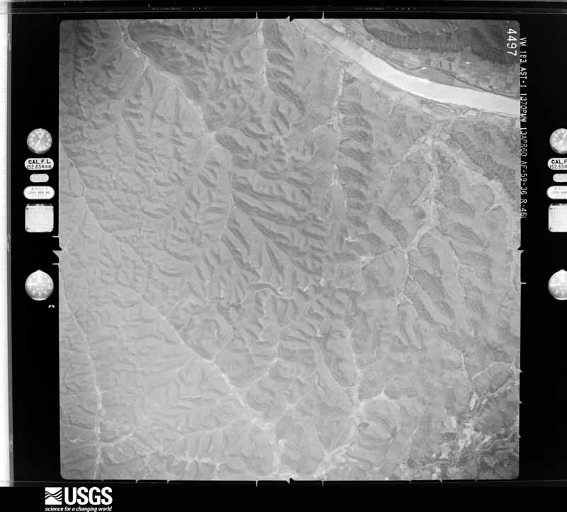
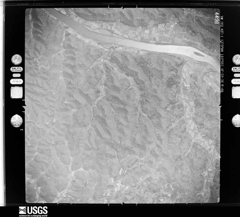
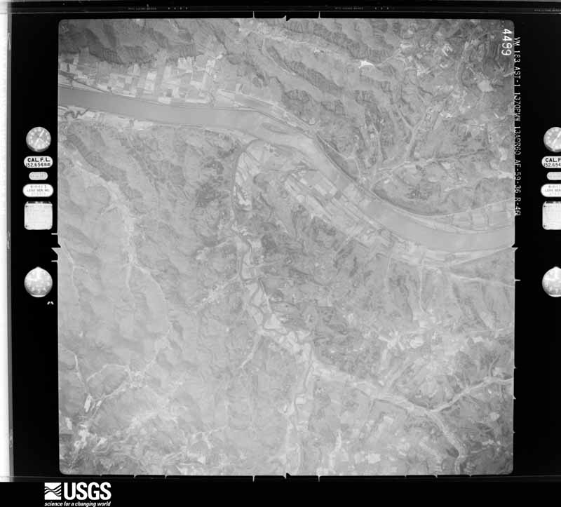
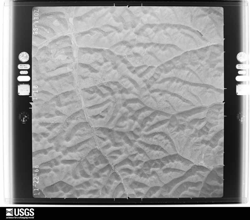
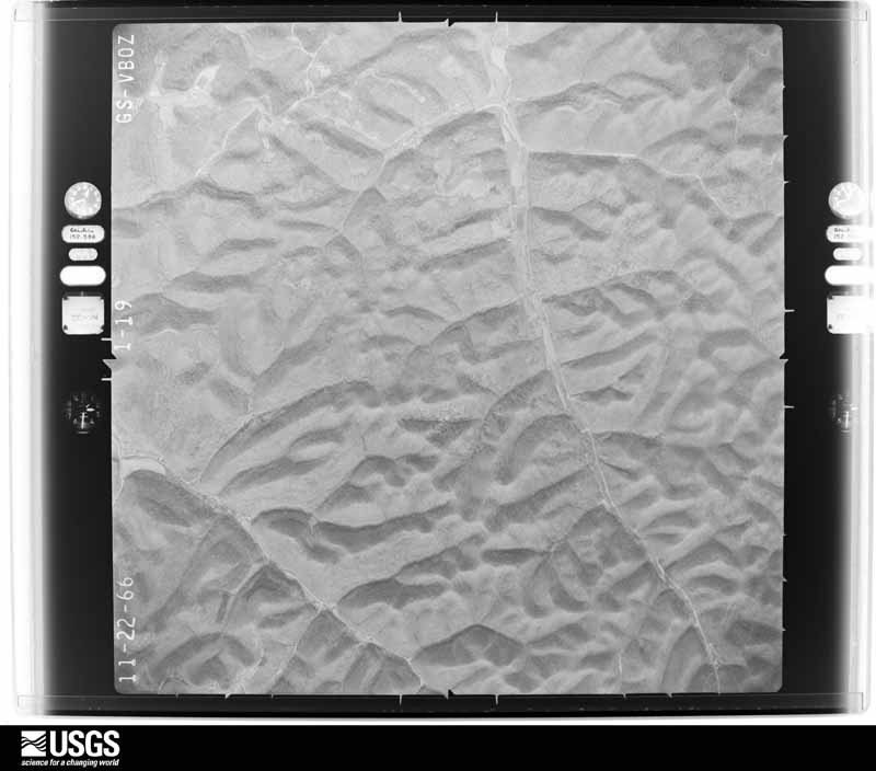
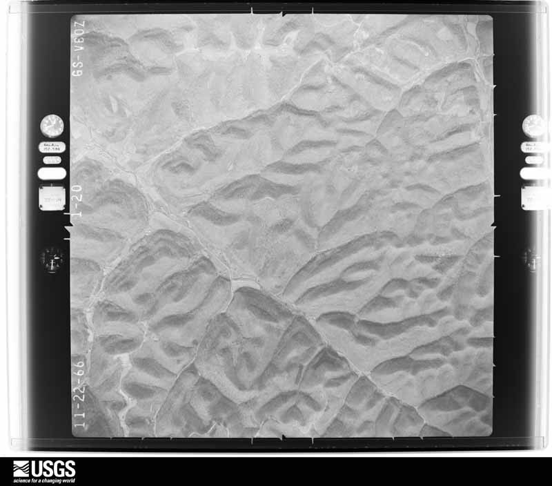
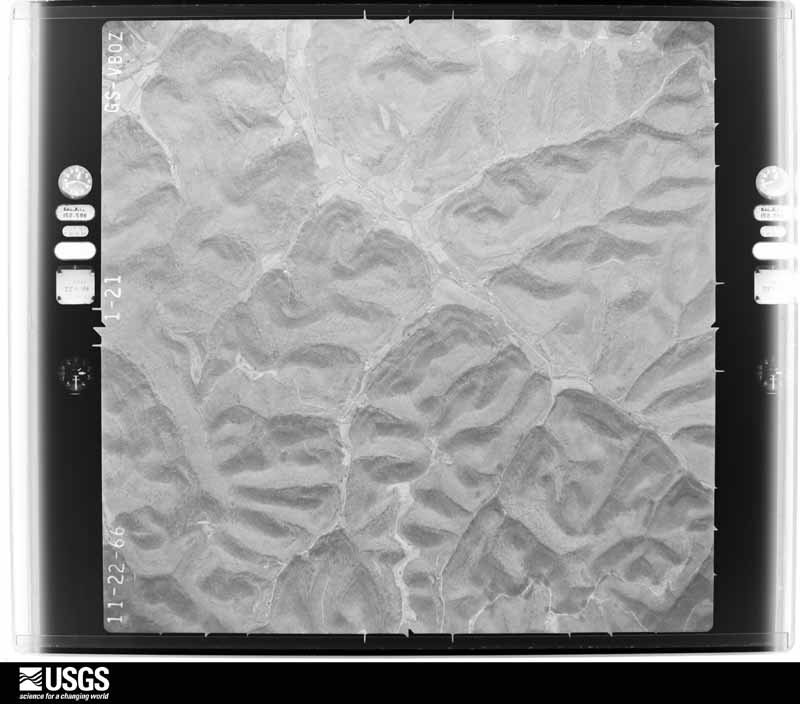
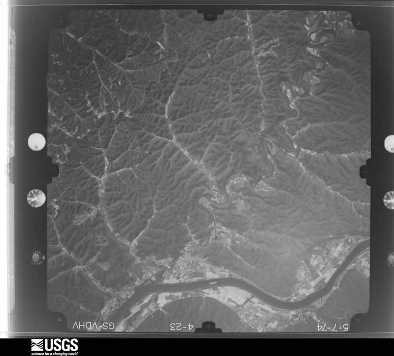
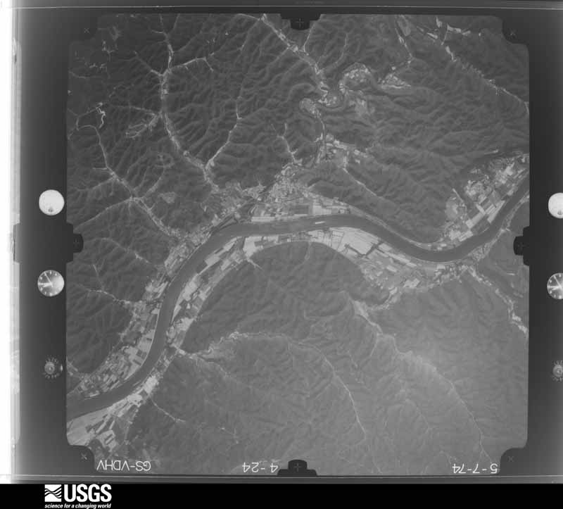
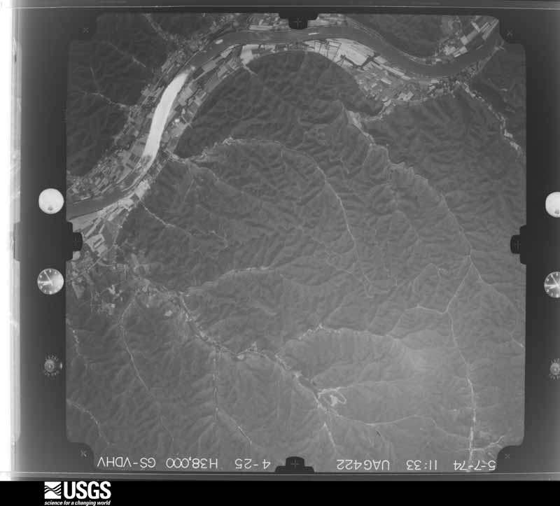
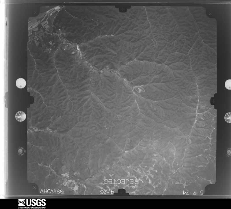
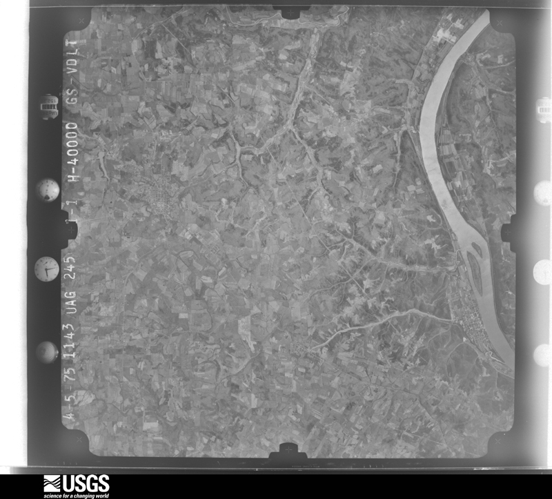
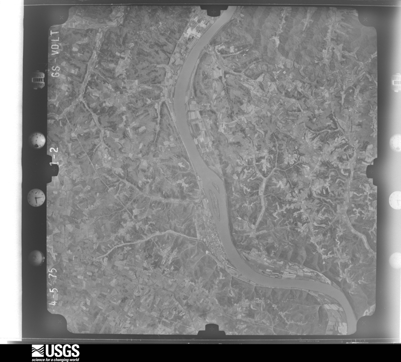
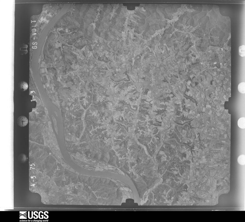
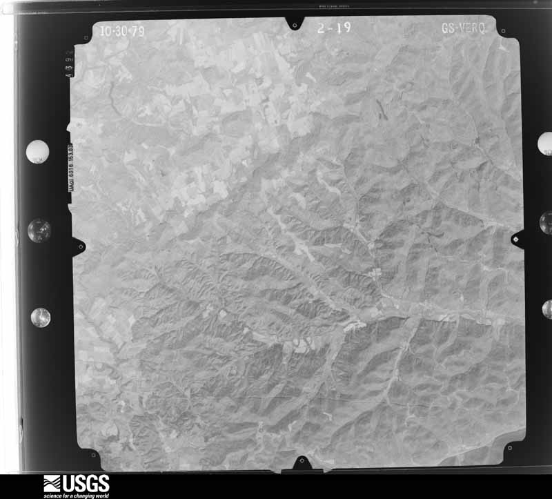
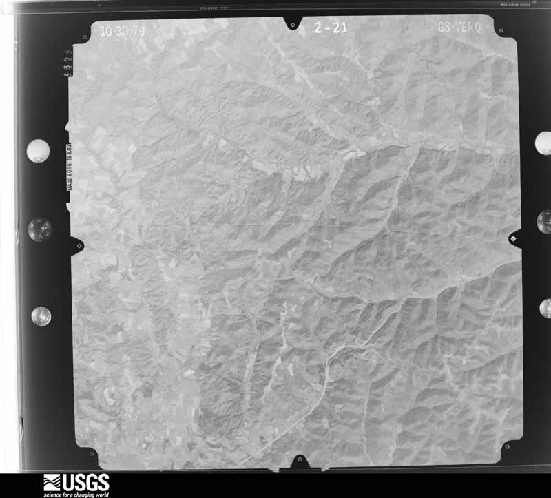
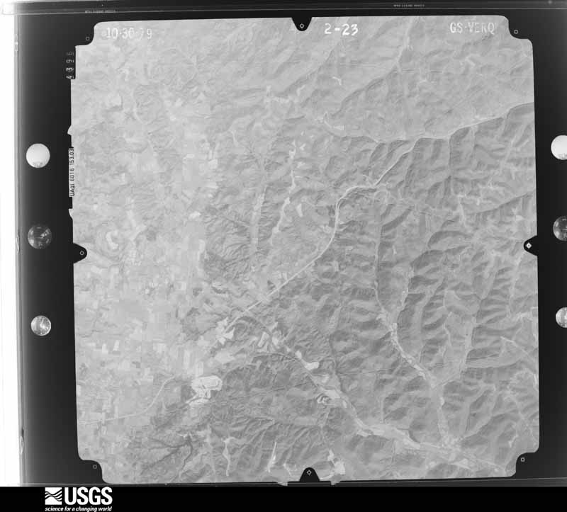
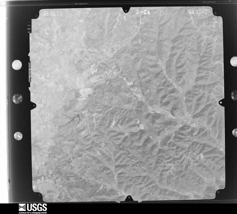
Flown by the U.S. Geological Survey
between 1937 and 1989, the Aerial Photo Single Frames collection is
the definitive mid-century view of the land: fields, roads and rivers
as the camera saw them. 857 frames touch this county; the
selection below spreads across the decades of flights (at most four
per year), so one flight cannot crowd out the rest. The full set is
free to browse and download at
EarthExplorer under the dataset Aerial Photo Single
Frames.
1947-04-23, scale 1:24000. U.S. Geological Survey aerial photograph.1947-04-23, scale 1:24000. U.S. Geological Survey aerial photograph.1947-04-23, scale 1:24000. U.S. Geological Survey aerial photograph.1947-04-23, scale 1:24000. U.S. Geological Survey aerial photograph.1950-06-01, scale 1:23600. U.S. Geological Survey aerial photograph.1950-06-01, scale 1:23600. U.S. Geological Survey aerial photograph.1950-06-01, scale 1:23600. U.S. Geological Survey aerial photograph.1950-06-01, scale 1:23600. U.S. Geological Survey aerial photograph.1952-10-21, scale 1:60000. U.S. Geological Survey aerial photograph.1956-05-24, scale 1:30000. U.S. Geological Survey aerial photograph.1956-05-24, scale 1:30000. U.S. Geological Survey aerial photograph.1956-05-24, scale 1:30000. U.S. Geological Survey aerial photograph.1956-05-24, scale 1:30000. U.S. Geological Survey aerial photograph.1960-04-13, scale 1:60000. U.S. Geological Survey aerial photograph.1960-04-13, scale 1:60000. U.S. Geological Survey aerial photograph.1960-04-13, scale 1:60000. U.S. Geological Survey aerial photograph.1960-04-13, scale 1:60000. U.S. Geological Survey aerial photograph.1967-02-14, scale 1:24000. U.S. Geological Survey aerial photograph.1967-02-14, scale 1:24000. U.S. Geological Survey aerial photograph.1967-02-14, scale 1:24000. U.S. Geological Survey aerial photograph.1967-02-14, scale 1:24000. U.S. Geological Survey aerial photograph.1974-05-01, scale 1:76000. U.S. Geological Survey aerial photograph.1974-05-01, scale 1:76000. U.S. Geological Survey aerial photograph.1974-05-01, scale 1:76000. U.S. Geological Survey aerial photograph.1974-05-01, scale 1:76000. U.S. Geological Survey aerial photograph.1975-04-05, scale 1:78000. U.S. Geological Survey aerial photograph.1975-04-05, scale 1:78000. U.S. Geological Survey aerial photograph.1975-04-05, scale 1:78000. U.S. Geological Survey aerial photograph.1975-04-05, scale 1:78000. U.S. Geological Survey aerial photograph.1979-11-01, scale 1:80000. U.S. Geological Survey aerial photograph.1979-11-01, scale 1:80000. U.S. Geological Survey aerial photograph.1979-11-01, scale 1:80000. U.S. Geological Survey aerial photograph.1979-11-01, scale 1:80000. U.S. Geological Survey aerial photograph.
City directories
3 volumes
The "who lived here, by year" answer:
pre-1929 public-domain directory volumes naming the county's people,
machine-read and searchable as text.
The thermometers that kept this
county's weather, and the gages that watched its rivers, as the
federal records hold them. The extremes below are measured values
from those records, not estimates.
CHERRY FORK1893 to 1946, hottest 42.2 C, coldest -28.9 C
LAWSHE1908 to 1910, hottest 36.1 C, coldest -29.4 C
PEEBLES 1 S1910 to 1962, hottest 40.0 C, coldest -35.0 C
PEEBLES1940 to 2026, hottest 40.0 C, coldest -28.3 C
VANCEBURG1950 to 1951, hottest 35.0 C, coldest -26.7 C
Who lived here in 1950, one enumeration
district at a time, as the Census Bureau described each district.
Each row opens its official National Archives result, with Population
Schedules and ED Maps available there.
1-5Green township - That part outside Rome village
1-6Jefferson township: Jefferson township - That part north of State Hwy. 125
1-7Jefferson township - That part south of State Hwy. 125
1-8Liberty township: Liberty township - That part north of State Hwy. 125
1-9Liberty township - That part south of State Hwy. 125
1-10Manchester township: Manchester village: Manchester village - That part Bounded by Village limits; Village limits; Ohio River; Starks, E. 3rd, Main, State Hwy. 136
1-11Manchester village - That part Bounded by Village limits; State Hwy. 136, Main, E. 3rd, Starks; Ohio River; Broadway, W. 3rd, Adams, W. 9th, Broadway
1-12Manchester village - That part Bounded by Village limits; Broadway, W. 9th, Adams, W. 3rd, Broadway; Ohio River; Village limits
1-13Manchester township - That part outside Manchester village
1-14Meigs township: Peebles village: Peebles village - That part east of State Hwy. 41
1-15Peebles village - That part west of State Hwy. 41
1-16Meigs township - That part east of State Hwy. 41, outside Peebles village
1-17Meigs township - That part west of State Hwy. 41, outside Peebles village
1-31Winchester township - That part outside Winchester village
Businesses named in the atlases
12 businesses
Every Sanborn volume opens with a printed index
naming the town's mills, tanneries, hotels and works by proprietor. Those
indexes were read off the scanned sheets by machine and then matched to each
other, so a business surveyed four times appears here once, with the years it
survived. 2 of these 12 were named in more than one atlas. Each carries a
crop of the line it was read from: the spelling is the recogniser's and the
1880s lithographer's, and the scan behind it is the proof.
Every wildfire the federal occurrence
database records inside this county: 216 of them, burning about
1,333 acres. 3 started naturally and 34 were
recorded as arson. Each settlement page carries the fires within five
miles of it.
Reported cause
Fires
Debris and open burning
96
Missing data/not specified/undetermined
56
Arson/incendiarism
34
Equipment and vehicle use
13
Recreation and ceremony
5
Power generation/transmission/distribution
5
Natural
3
Smoking
2
Misuse of fire by a minor
1
Other causes
1
The five largest, by the area the report
gives. Three of them were set deliberately.
Date
Cause
Size
Reported by
Name on the report
6 April 2010
Missing data/not specified/undetermined
130 acres
Ohio Department of Natural Resources
GWYNN ROAD
12 April 2001
Arson/incendiarism
100 acres
Kentucky Division of Forestry
not named
15 March 2014
Missing data/not specified/undetermined
70 acres
Ohio Department of Natural Resources
not named
25 February 2000
Arson/incendiarism
65 acres
Kentucky Division of Forestry
not named
25 March 2004
Missing data/not specified/undetermined
55 acres
Ohio Department of Natural Resources
not named
24 April 2008
Arson/incendiarism
47 acres
Ohio Department of Natural Resources
not named
14 March 2014
Missing data/not specified/undetermined
40 acres
Ohio Department of Natural Resources
not named
14 March 2014
Debris and open burning
35 acres
Ohio Department of Natural Resources
not named
Every settlement page carries the fires within five
miles of it - see the settlement index below.
Storms, 1966 to
2026
60 of 389 shown
The
NOAA Storm Events Database holds
389 reports for this county, causing 6 deaths,
8 injuries and about $16,329,601 in recorded property damage.
Each settlement page carries the reports that name it.
Kind of event
Reports
Thunderstorm Wind
196
Hail
81
Flash Flood
60
Flood
35
Tornado
16
Heavy Rain
1
The most serious of them, by death, then
injury, then recorded damage. The accounts are quoted exactly as the
forecast office filed them.
The tornado touched down just east of Highway 41, about 2 miles northeast of West Union. The tornado then traveled east northeast for just over 11 miles, destroying at least 5 mobile homes. Two homes were also damaged. One of these homes was built of brick. A 99 year old woman was in her mobile home in Tiffin Township when the tornado struck. She was injured from this tornado and passed away several days later. Two others were also injured from this tornado. A dozen cattle were killed and major power transmission poles were knocked over. Numerous trees were snapped or uprooted. Based on the damage surveyed, the maximum estimated wind speed of this tornado was 125 miles per hour.
A mobile home was destroyed by high winds, probably from a microburst. The 63-year-old male owner was killed outdoors at the site when he was struck by debris from the roof during the event. He died of head injuries. Trees were downed and large hail also fell.
Power lines were downed, radio, TV, and satellite dishes were downed. Several trees fell across campers and vehicles at a camp ground near the Ohio River. Minor injuries were a result of flying glass and debris.
The tornado began south of the intersection of Brier Ridge Road and Robinson Hollow Road, southwest of West Union. Damage to trees and structures occurred here, with one manufactured structure on Robinson Hollow Road completely destroyed. From here, the tornado continued northeast and caused outbuilding and tree damage along Fryman Road.||The tornado then caused damage along Eagle Creek Road and Tomlin Road, with the Kirker Covered Bridge losing all of it's roofing panels. Several well constructed outbuildings were heavily damaged on Tomlin Road and multiple large hardwood trees were snapped. Similar magnitude damage was observed along State Route 136 and McClanahan Road, where hardwood trees were snapped and some structures were damaged. Winds in this area were estimated to be around 100 mph. ||To the northeast, along Old Cincinnati Pike and Stan Roberts Road, the damage intensity lessened slightly as the tornado expanded to the maximum estimated with of 500 yards. Uprooted and snapped trees continued to be observed along State Route 125, Nehus Road, Chaparal Road, and State Route 247. Damage became less persistent to the northeast, but considerable tree loss at the Adams Lake State Park indicated the tornado was still on the ground northeast of West Union. The tornado is believed to have dissipated to the west of State Route 41.
Thunderstorm winds caused significant damage to the town. Trees were downed, sheds destroyed, several roofs blown off, and a church porch was destroyed. The winds were estimated to average 60 to 70 mph with gusts to around 100 mph.
The tornado touched down in an open field west of Greenlee Road, about 1.2 miles northwest of Seaman. The first notable signs of damage occurred to a nearby pole barn, which partially collapsed. The tornado then moved just north of due east, snapping and uprooting numerous trees and large branches along Greenlee Road. There, some of the tin building material from the aforementioned barn was deposited. Additional tree damage continued into a grove along Mount Leigh Road. The tornado then crossed State Route 247 north of its intersection with Mount Leigh Road, about one mile north of Seaman. On the east side of the highway, a roof was partially removed from a single story home. Directly behind this home, two pole barns sustained heavy damage. Farther east, an aerial survey revealed continuous heavy tree damage along West Fork Ohio Brush Creek. The tornado caused destruction of outbuildings and roof damage to a single story home on State Route 770, just west of its intersection with Old State Route 32. The tornado then lifted. Based on the damage surveyed, the maximum estimated wind speed of this tornado was 100 mph.
The tornado initially touched down just north and east of the intersection of Old Dutch Road and Gray Road. The tornado moved north on the east side of Old Dutch Road and heavily damaged several well constructed barns and outbuildings. Mature, healthy trees were snapped at the trunk along this path. The tornado crossed Stanfield Road and crossed Old Dutch Road near Clayton Pike. Along this stretch, the tornado caused significant tree damage, minor damage to homes, and significant damage to numerous barns and outbuildings. More trees were toppled as the tornado crossed Clayton Pike again, west of Old Dutch Road. At this point, it appears the tornado began to intermittently lift, with the next reportable damage on neighboring Suck Run Road where a house was found with windows blown out in addition to significant tree damage. The damage to the barns and trees is consistent with wind speeds around 110 miles per hour.
A tornado touched down and tracked east along State Route 125. The greatest damaged occurred at a farm where four barns were damaged, one of which was completely destroyed. Two nearby homes and a church sustained minor structural damage. At least three dozen trees were also downed along the path of the tornado.
This thunderstorm had a long line of downbursts which caused damage to numerous trees, some of which fell on a house and a mobile home. Embedded within this path of damage was evidence that a tornado made brief touchdowns. In two different areas, tree damage showed twisting motion indicating that a tornado existed. Also, one home was knocked off its foundation in one of the areas where the tornado touched down. Winds from some of the downburst activity were near 100 mph.
Over 6 inches of rainfall occurred in only a few hours causing numerous roads to be flooded and creeks to rise out of their banks. A few people had to be rescued from cars and area bridges.
Three vehicles were washed into a creek. People were also reported trapped in a mobile home near West Union. An entire home was shifted and moved off of the foundation from flash flooding along highway 41 near Dunkinsville. There was also significant debris along creeks in this area.
A tornado touched down near the intersection of State Routes 32 and 41 just south of the town of Peebles. A steel structure barn collapsed in this location. Additional damage was noted about a mile further east near the intersection of State Route 32 and Steam Furnace Road, where an entire roof was peeled off of a home. The home sustained severe water damage from heavy rain and hail, and had a large front porch and balcony torn off. In addition, one of the chimneys collapsed when the roof was peeled off. Several trees were snapped off towards the top along the path of the tornado. This tornado was rated EF-1 with top wind speeds near 90 mph.
Several trees were downed near State Route 125 and Ralston Road due to thunderstorm winds. Numerous trees and power lines were also downed between West Union and Blue Creek.
A roof was blown off of a gymnasium in the Cherry Fork area. Several barns and houses sustained damage. Numerous trees were downed throughout western Adams County. Damage was determined to be caused by straight-line winds estimated at 70 to 80 mph.
The tornado briefly touched down, causing extensive damage to a barn. Some of the wooden debris from this barn was driven into the ground. Numerous trees in a nearby grove were snapped. Based on the damage surveyed, the maximum estimated wind speed of this tornado was 75 miles per hour.
Several campers were damaged at the campground at Mineral Springs Lake. Numerous large trees were uprooted and snapped along a three quarter mile path. The damage was consistent with straight-line winds estimated at 80 to 90 mph.
In the vicinity of Unity Road and Highway 247, just south of the Alexander Salamon Airport, four barns were destroyed with the roofing thrown well downwind of the damage sites. At one residence, a porch was removed from a home. On the west side of Highway 247, there was significant tree damage to a grove of trees. Based on the damage, the maximum wind speeds were estimated to be around 90 mph.
Several trees were uprooted. A camper and truck were damaged.
Mines and
quarries
4 recorded
The Survey's mineral resources record
lists 4 workings inside this county. 2 still
produce and 2 are closed or unrecorded. Each settlement
page carries the workings within five miles of it.
Commodity
Workings
Stone, Crushed/Broken
3
Limestone, General
1
The least common of them first, because a
county's hundredth gravel pit says nothing its first ten did not.
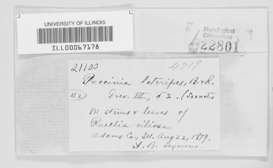
Museum specimens collected inside this
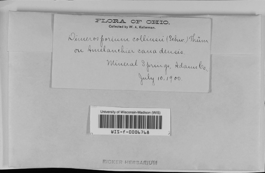
county and catalogued with a date and a place: 1,724 of them, by
kingdom 740 animalia, 597 fungi, 353 plantae, 34 protozoa. Each is a physical object in a named collection, not a
sighting. Held by CINC, Ohio State University - Fish Division, Columbus, OH (OSUM), Ohio State University - Amphibian Division, Columbus, OH (OSUM), Ohio State University - Mammal Division, Columbus, OH (OSUM), Ohio State University - Reptile Division, Columbus, OH (OSUM), YPM among others, and each settlement page carries
the specimens collected near it.
The oldest of them. A specimen proves
something was collected on that day; its absence proves nothing.
A History of Adams County, Ohio, from Its Earliest Settlement to the Present Time, Including Character Sketches of the Prominent Persons Identified with the First Century of the Country's Growth .. devotes a chapter to each township:
its boundaries and streams, who settled it and when, the mills, the
schools and the churches. All 13 are reproduced here in full. Each row
shows the township's own shape and where it lies in the county, drawn from
the Census Bureau's boundary. Which settlements belong to which township
is computed from that same boundary, not taken from the book.
Everyone A History of Adams County, Ohio, from Its Earliest Settlement to the Present Time, Including Character Sketches of the Prominent Persons Identified with the First Century of the Country's Growth .. stops to write about, with
the section that describes them. Among them are the men who founded the
place and governed the Territory. Each name opens the passage itself, in
the words of 1900.
Named settlements recorded in the Geographic Names
Information System, each with the topographic sheets covering it. Villages,
hamlets and abandoned places alike. Each is shown with the watercourse or
landform it stands on and the survey quadrangle it falls on. The 3
places that were also surveyed for fire insurance come first, with the
number of atlases and photographs held for them.
The complete index, with nothing left out.
Each of these is a separate record with its own page: a federal survey
report, or the case file that argued a property on to the National
Register. Both are public domain and reproduced word for word.
Topographic sheets. USGS Historical Topographic Map Collection, county index, measured from the bulk metadata.
Fire insurance maps. Library of Congress Sanborn collection, faceted to this county.
Photographs. Each place queried individually against the Library of Congress Prints and Photographs search.
Wildfire. Short, Karen C. 2022. Spatial wildfire occurrence data for the United States, 1992-2020 [FPA_FOD_20221014]. 6th Edition. Fort Collins, CO: Forest Service Research Data Archive. https://doi.org/10.2737/RDS-2013-0009.6 Collected with United States Government funding and usable without additional permissions or fees.
Specimens. Global Biodiversity Information Facility (GBIF), https://www.gbif.org/. Only records licensed CC0 or CC BY are used. Records licensed CC BY-NC are excluded because this site carries advertising. Images are checked individually and any whose licence is non-commercial, no-derivatives or unreadable is refused.
Mines and quarries. USGS Mineral Resources Data System (MRDS) https://mrdata.usgs.gov/mrds/ A work of the United States government, no copyright under 17 U.S.C. 105.
Storms. NOAA National Centers for Environmental Information, Storm Events Database https://www.ncei.noaa.gov/stormevents/ A work of the United States government, no copyright under 17 U.S.C. 105. Narratives are quoted verbatim from the National Weather Service report and are not edited or summarised.
 Block
Block