 Block
Block
Moscow, Ohio
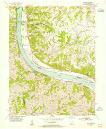
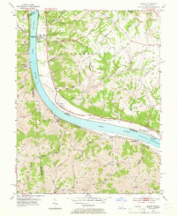
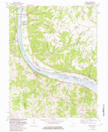
13 topographic sheets cover this place, the earliest surveyed in 1931 and the latest in 1986. It stands in Washington Township. It lies in ZIP code area 45153. It stands on Ray Run. The Survey maps it on the Moscow quadrangle. 155 people lived here at the 2020 count. It stands 499 feet above sea level.
Population over time
2 figuresMoscow fell from 185 to 155 between 2010 and 2020. These are the recorded population figures Wikidata holds for this place, reached through the Geographic Names Information System number this page is keyed on rather than by name, so they belong to this place and not to another of the same name. Most are census counts, but not all are: an early figure may be a founding or settlement estimate. The change column is computed, and is left blank where more than 20 years separate a figure from the one before it, because a gap that long is not a change between two counts.
| Year | People | Change |
|---|---|---|
| 2010 | 185 | |
| 2020 | 155 | -30 (-16%) |
Then and now
1931 to 1986The same ground, surveyed 55 years apart. Drag the handle to wipe between them. Both sheets are United States Geological Survey originals; neither has been altered.
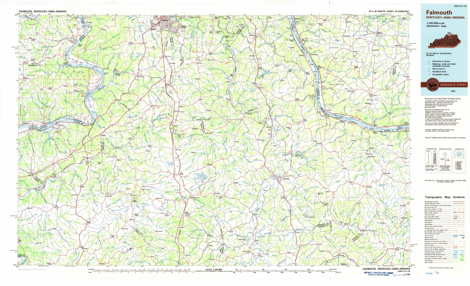
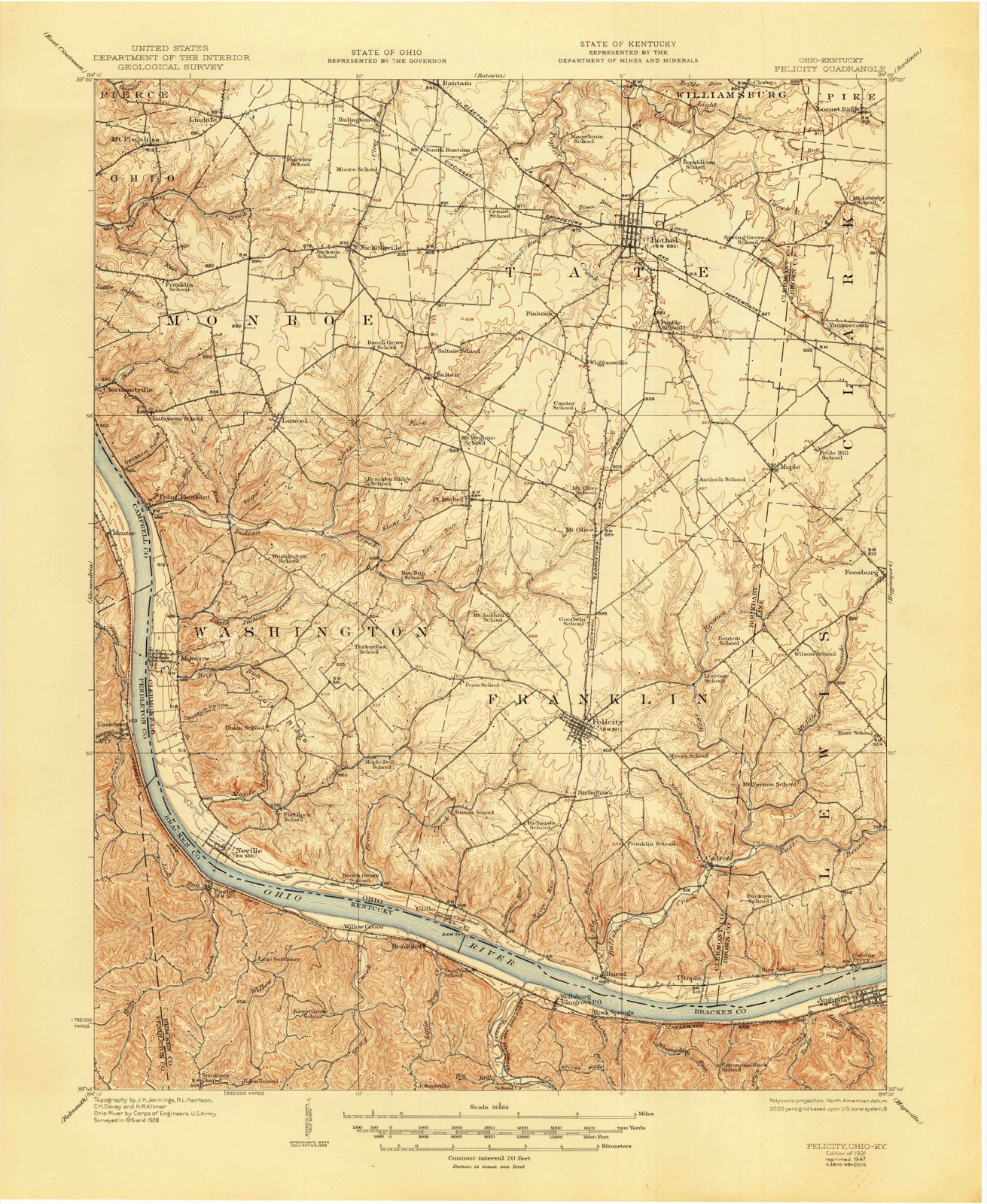
Topographic sheets covering this place
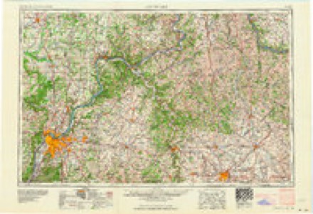
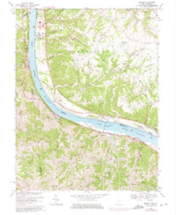
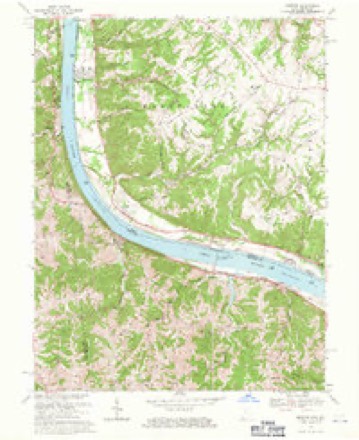
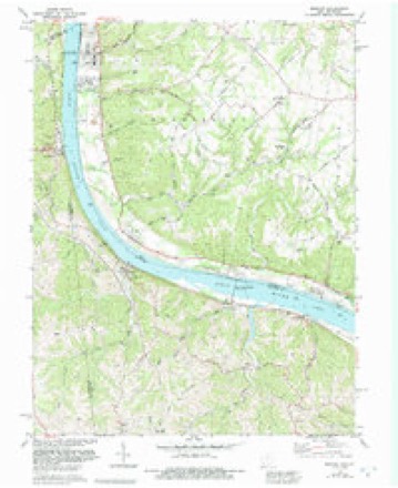
13 sheetsMatched by testing this settlement's coordinate against the published boundary of every sheet in the United States Geological Survey's historical collection. Each opens the scanned sheet at the Survey.
- 1931 USGS Felicity quadrangle1:62500
- 1931 USGS Felicity quadrangle1:62500
- 1953 USGS Moscow quadrangle1:24000
- 1953 USGS Moscow quadrangle1:24000
- 1956 USGS Louisville quadrangle1:250000
- 1956 USGS Louisville quadrangle1:250000
- 1964 USGS Louisville quadrangle1:250000
- 1968 USGS Moscow quadrangle1:24000
- 1968 USGS Moscow quadrangle1:24000
- 1981 USGS Moscow quadrangle1:24000
- 1981 USGS Moscow quadrangle1:24000
- 1986 USGS Falmouth quadrangle1:100000
- 1986 USGS Falmouth quadrangle1:100000
In the county-history sources
17,887 words on this townshipSoil Survey of Clermont County, Ohio (1928), published 1928 names this settlement in its chapter on Washington Township. These are the passages that mention it, exactly as the scans read.
Where erosion has dissected the plain most thoroughly, the larger streams have ia. 98 Sketch cut valleys from 200 to 400 feet deep. Ig. 25. - Sketch map show: There is Tnuch variation in the width of Coimty, Ono one the valleys along all of the larger streams of the county. Along Ohio River the valley floor, which consists of level bottom lands, ranges from one-half to 1 mile in width. Along Little Miami River and East Fork Little Miami River, except at the junction of these streams where the valley is 2 miles wide, places where the valley floors may be from one-half to three-fourths mile in width, are immediately succeeded by narrow tracts, little more than wide enough to accommodate the stream bed, with steep slopes on both sides. Along the principal streams of the county there are 2 or 8 levels, where well-defined terraces exist; and 2 higher levels, where remnants of very old terraces occur.
Passage source: Soil Survey of Clermont County, Ohio (1928), published 1928.
Chilo silty clay loam is an inextensive terrace soil along Ohio River, occurring in long narrow depressions parallel to the river and associated with Wheeling silt loam. These areas are subject to inundation about once in six years. The surface of this land is level. Both the natural run-off and the internal drainage are slow, on account of absence of slope and of compactness of the soil layers. Artificial drainage is rather difficult. to establish.
Passage source: Soil Survey of Clermont County, Ohio (1928), published 1928.
Machine-read from a century-old scan, so expect the errors a machine makes: misspelled names, dropped words, stray characters.
Read the whole chapter on Washington Township - it names this place 2 more 2 times.
Specimens collected near this place
12 of 145 shownRegional context, not property-specific evidence. Museums hold 145 specimens collected within 10 miles of Moscow between 1896 and 1974: 113 Animalia, 29 Fungi, 2 Plantae, 1 Unrecorded. 12 distinct Species records are shown. Collected by A.M Bradford, Brand, Louis, Braun, E. Lucy and others. Each is a physical object with a catalogue number, and each entry opens the museum's record. This is what was collected and kept, not a survey of what lives here - nothing can be concluded from a species being absent.
| Image | Species | Year | Collected by | Where, as recorded |
|---|---|---|---|---|
 | Geothlypis formosa (A.Wilson, 1811) | 1896 | A.M Bradford | Bradford |
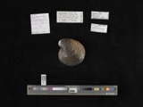 | Obovaria retusa (Lamarck, 1819) | 1909 | Bureau of Fisheries | Ohio River, Point Pleasant |
 | Plethobasus cyphus (Rafinesque, 1820) | 1909 | Bureau of Fisheries | Ohio River, Point Pleasant |
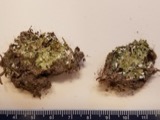 | Cladonia piedmontensis G.K.Merr. | 1922 | Braun, E. Lucy | near Nicholsville |
 | Cambarus rusticus Girard, 1852 | 1927 | J. Galloway | Big Run, (L. Miami Riv. Basin) |
 | Bryoandersonia illecebra (Hedw.) H.Rob. | 1929 | Fulford, Margaret | Alpine Dell Rd, top and edge of hill |
 | Etheostoma flabellare Rafinesque, 1819 | 1930 | Trautman, M. B. (Milton Bernard) & Foster, R. (Robert) | Ohio River tributary, near New Richmond, near California, Ohio township |
 | Lepomis megalotis (Rafinesque, 1820) | 1930 | Trautman, M. B. (Milton Bernard) & Foster, R. (Robert) | Ohio River tributary, near New Richmond, near California, Ohio township |
 | Micropterus dolomieu dolomieu Lacepède, 1802 | 1930 | Trautman, M. B. (Milton Bernard) & Foster, R. (Robert) | Bullskin Creek, within Franklin township, near Felicity, Franklin township |
 | Micropterus punctulatus (Rafinesque, 1819) | 1930 | Trautman, M. B. (Milton Bernard) & Foster, R. (Robert) | Bullskin Creek, within Franklin township, near Felicity, Franklin township |
 | Micropterus salmoides (Lacepède, 1802) | 1930 | Trautman, M. B. (Milton Bernard) & Foster, R. (Robert) | Bullskin Creek, within Franklin township, near Felicity, Franklin township |
 | Moxostoma erythrurum (Rafinesque, 1818) | 1930 | Trautman, M. B. (Milton Bernard) & Foster, R. (Robert) | Bullskin Creek, within Franklin township, near Felicity, Franklin township |
All 145 specimens within 10 miles, at the Global Biodiversity Information Facility.
Mines and quarries near this place
5 within 5 milesRegional context, not property-specific evidence. The federal mineral resources record lists 5 workings within 5 miles of Moscow: 2 past producers, 2 producers, 1 plant. 3 still produce. What was taken out: Stone, Crushed/Broken, Limestone, General, Stone, Crushed/Broken, Calcium, Sand and Gravel, Construction. Distance is straight-line from the map coordinates, so a quarry counted here may appear on a neighbouring settlement's page as well.
| Where | Site | Commodity | Status | Recorded |
|---|---|---|---|---|
| Black River Mining Limekiln | Stone, Crushed/Broken, Calcium | Plant | ||
| Brewer Limestone Quarry | Limestone, General | Past Producer | Sedimentary | |
| Franklin Stone Pit | Sand and Gravel, Construction | Producer | ||
| Pendleton County Underground | Stone, Crushed/Broken | Producer | ||
| Point Pleasant Quarry | Stone, Crushed/Broken | Past Producer |
Storms near this place
9 since 1997Regional context, not property-specific evidence. The National Weather Service names Moscow in 9 storm reports between 1997 and 2023: 3 tornado, 3 thunderstorm wind, 2 hail, 1 flood. The reports record 3 deaths and 13 injuries. Each account below is quoted exactly as the forecast office filed it, from the NOAA Storm Events Database, and each date opens the federal record of that event.
| When | Event | Place named | Harm | What the report says |
|---|---|---|---|---|
| March 2012 | Tornado (EF3) | Moscow | 3 killed, 13 hurt, $5,660,000 | The tornado initially touched down in south central Campbell County at 1639 EST near Peach Grove Road and crossed Fisher Road northwest of Peach Grove. The tornado then crossed into Pendleton County at 1641 EST after producing high end EF3 damage along Reid Ridge Road near the Campbell and Pendleton County line. The tornado then moved across Mays Road producing significant and widespread EF2 to low end EF3 damage. The tornado then crossed AA highway and eventually the Ohio River, after crossing Kentucky Highway 8. Based on the damage surveyed, the maximum wind speed of the tornado was estimated to be 160 miles per hour in Campbell County and 140 miles per hour in Pendleton County. The tornado traveled a total of 2.68 miles in Campbell County, and 4 miles in Pendleton County. The tornado then moved into Clermont County Ohio at 1646 EST, where it hit the town of Moscow, causing EF3 damage. The tornado continued on the ground across Clermont County, crossing into Brown County at 1658 EST. The tornado then lifted south of Hamersville in western Brown County at 1702 EST. This tornado caused extensive damage to structures and trees along its entire path on both sides of the Ohio River. Numerous homes were very heavily damaged or destroyed. Many homes lost their roofs, having complete exterior wall failure. Some modular homes were completely removed from their foundations, lifted, and thrown in excess of 100 yards where they were destroyed. The damage in Ohio from this tornado was consistent with maximum winds estimated at 160 miles per hour in Clermont County, and 100 miles per hour in Brown County. The tornado traveled a total of 11.04 miles in Clermont County, and 2.69 miles in Brown County. |
| July 1997 | Tornado (F3) | Moscow | $2,000,000 | A multiple vortex tornado tracked across the southern part of the county. The tornado damaged or destroyed 56 mobile homes and 27 single family homes. Several barns and sheds were destroyed and numerous trees were downed. No serious injuries or deaths occurred with this tornado. |
| February 2018 | Tornado (EF1) | Moscow | $85,000 | The tornado is believed to have first touched down on Neville Penn Schoolhouse Road about halfway between Felicity and Neville. Tree damage in this area was very extensive, with many trees uprooted and others snapped. In addition, a mobile home was destroyed. Damage continued further northeast on Neville-Penn Schoolhouse Road, with debris from one damaged structure observed blown against a fence line and into the nearby trees. A few other structures on Neville-Penn Schoolhouse Road suffered roof damage, including two barns which had partial roof removal. Additional tree damage was observed further northeast, with a few trees snapped north of OH-756. |
| December 2015 | Thunderstorm Wind | Moscow | $10,000 | Numerous trees were reported knocked down in Felicity, Moscow and Bethel. |
| August 2007 | Hail | Moscow | $5,000 | no account filed |
| June 1998 | Thunderstorm Wind | Moscow | $3,000 | Trees downed. |
| April 2023 | Thunderstorm Wind | Moscow | $1,000 | A tree was downed onto a road. |
| January 2023 | Flood | Moscow | - | High water was reported near the intersection of State Route 743 and U.S. 52. |
| June 2004 | Hail | Moscow | - | no account filed |
Nearest settlements
The eight closest, with where each one stands in the county. Distances are straight-line, computed from the Geographic Names Information System coordinates.
| Map | Place | Distance | Sheets |
|---|---|---|---|
| Point Pleasant | 2.6 miles | 12 | |
| Neville | 3.4 miles | 13 | |
| Laurel | 4.5 miles | 12 | |
| Clermontville | 4.7 miles | 13 | |
| Point Isabel | 5.8 miles | 12 | |
| Chilo | 6.4 miles | 13 | |
| Saltair | 6.6 miles | 12 | |
| New Richmond | 6.9 miles | 13 |
Elsewhere
Matched on this settlement's Geographic Names Information System number rather than its name, so it cannot be a different place of the same name in another state.
| Wikipedia article on Moscow | An encyclopaedic summary. Its text is share-alike, so it is linked here rather than copied. |
| Wikidata item Q2670838 | The structured record the population and elevation above come from. Public domain (CC0). |
Provenance
This settlement is recorded in the Geographic Names Information System as feature 1056435. The sheet list is computed by point-in-boundary test against the United States Geological Survey's historical topographic inventory. Both are works of the United States government and carry no copyright under 17 U.S.C. 105.
Specimens. Global Biodiversity Information Facility (GBIF), https://www.gbif.org/. Only records licensed CC0 or CC BY are used. Records licensed CC BY-NC are excluded because this site carries advertising. Images are checked individually and any whose licence is non-commercial, no-derivatives or unreadable is refused.
Mines and quarries. USGS Mineral Resources Data System (MRDS) https://mrdata.usgs.gov/mrds/ A work of the United States government, no copyright under 17 U.S.C. 105.
Storms. NOAA National Centers for Environmental Information, Storm Events Database https://www.ncei.noaa.gov/stormevents/ A work of the United States government, no copyright under 17 U.S.C. 105. Narratives are quoted verbatim from the National Weather Service report and are not edited or summarised.