 Block
Moscow, Ohio
14 topographic sheets cover this place, the earliest surveyed in 1909 and the latest in 1992. It stands in Union Township. It lies in ZIP code area 43025. The Survey maps it on the Thornville quadrangle. The federal gazetteer marks this settlement historical: it is no longer a populated place, though the surveys that recorded it still are.
Then and now
1909 to 1992The same ground, surveyed 83 years apart. Drag the handle to wipe between them. Both sheets are United States Geological Survey originals; neither has been altered.
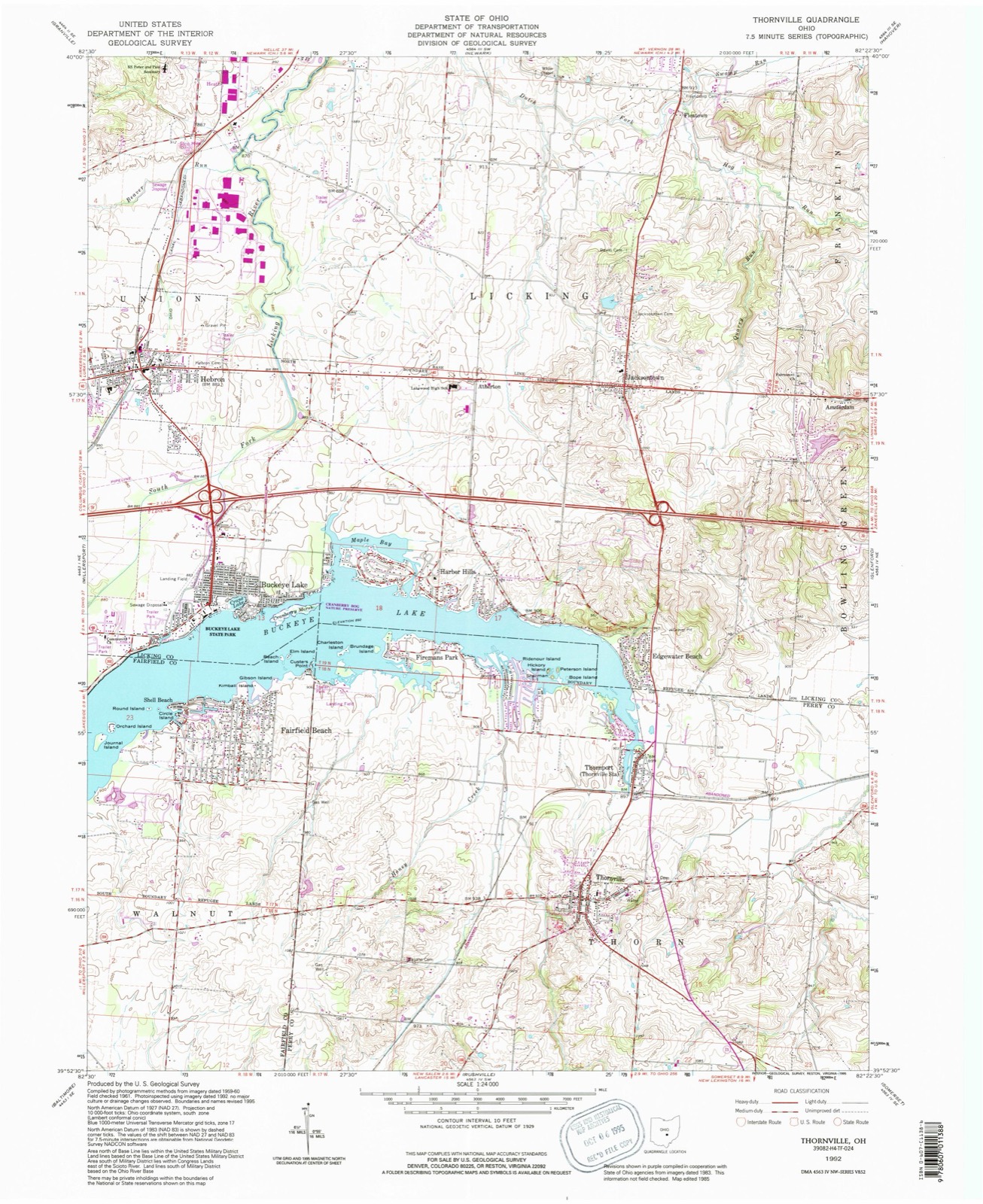
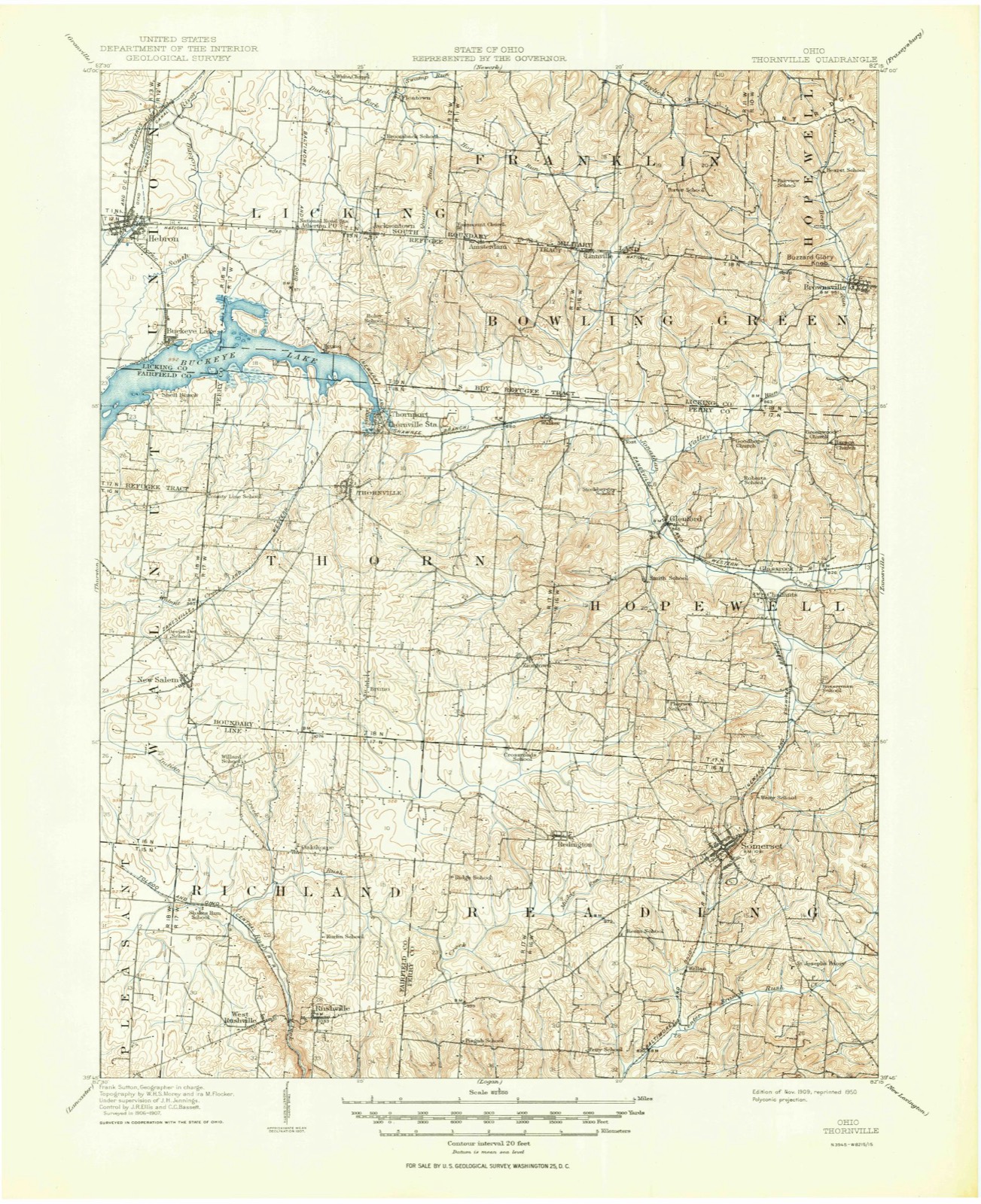
Compare 1909 against another survey:
Topographic sheets covering this place
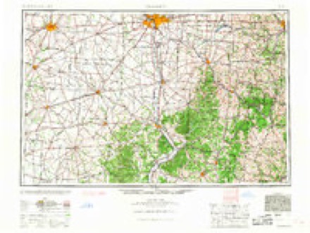
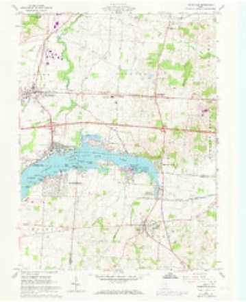
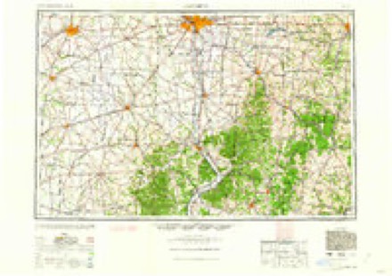
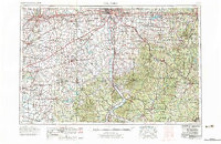
8 surveys from 14 printed sheetsMatched by testing this settlement's coordinate against the published boundary of every sheet in the United States Geological Survey's historical collection. Each opens the scanned sheet at the Survey.
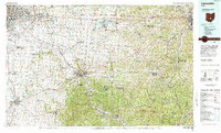
- 1909 USGS Thornville quadrangle1:62500, 2 printings
- 1947 USGS Columbus quadrangle1:250000
- 1961 USGS Columbus quadrangle1:250000
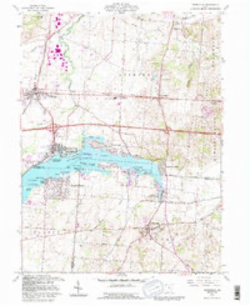
- 1961 USGS Thornville quadrangle1:24000, 5 printings
- 1962 USGS Columbus quadrangle1:250000
- 1967 USGS Columbus quadrangle1:250000, 2 printings
- 1984 USGS Lancaster quadrangle1:100000
- 1992 USGS Thornville quadrangle1:24000
In the county-history sources
111,602 words on this townshipHistory of Licking County, Ohio: Its Past and Present, published 1881 names this settlement in its chapter on Union Township. These are the passages that mention it, exactly as the scans read.
Wheat was grown with good success for many years, but after awhile failures became more frequent from rust and the wheat midge, and for the last twenty-five years the farmers have given their attention to the growth of live stock, principally sheep, rather than to the production of grain. While this township gives attention to the growth of all kinds of live stock common to this part of the country, it stands first in the
Passage source: History of Licking County, Ohio: Its Past and Present, published 1881.
"The public improvements are the Ohio canal, tbe Cumberland road, and the Central Ohio railroad. The first was completed through this township and county in the summer of 1828, the second in 1834, and the third in 1853. These, each in their turn, gave a great impetus to local improvements. These all run entirely through the township, and the canal and National road cross nearly at right angles within its territory, and afford ample facilities for getting its products to market. Hebron, its principal town, and situated at the crossing of the canal and National road, was once a fine business point, and, in the days of its glory, the largest and best grain and pork market in the county, if not in the Licking valley. But since the men that made it such have passed away, and railroad facilities have attracted the commerce to other points, Hebron has lost its prestige as a commercial point, and, with it, much of its moral and religious enterprise. The towns of Moscow and Luray have nearly passed away. There is a small business done at Union station, oa the roilroad. These are the only villages in the township, from which it will be seen that Union is emphatically an agricultural township. Although its villages are on the decline, both as to their population and business, its agricultural interests are improving. The lands are generally owned and occupied by an enterprising class of farmers that are rapidly developing the resources of its rich soil.
Passage source: History of Licking County, Ohio: Its Past and Present, published 1881.
4 4 llie first canal-boat built in the county, or that floated oc the waters of the Ohio canal within its borders, was built by a joint-stock company at Hebron, in 1827-8, and was called the "lacking Summit." It was built under the supervision of Joshua Smith, and made its first trip through the 4 4 Deep cut " 00 the Fourth of July, 1828, but it was built too large to pass the locks, and was so poorly constructed and drew so much water that a was not thought worth reconstructing, consequently, it never left the summit level. It was laid up in he basin at Hebroa, for a while used as a drinking saloon - then as a resort for the lewd, ora kind of house of ill-fame, until it was destroyed as a county at that time. Mr. Mantonya was a good workman, and the demand for his sickles was large, as the small grain in those days was all cut with the sickle. This manufactory was successfully carried on severhl years, until Mr. Mantonya left his shop to become a contractor in building the Ohio canal. It then remained comparatively idle until the spring of 1830, when it was repaired and again put into successful operation by Mr. Mantonya and Samuel Park. In a few years, perhaps in the year 1835, it was sold to Phinehas Ford and his son Benjamin, who converted it into a saw-mill. In the year 1831 John Park erected a saw-mill where Union Station now is, and in 1832 Samuel Vance erected another, a mile below; and in 1833 Messrs. S. H. Joseph and J. Downer erected another a half mile above, all on the same stream, making four saw-mills within a distance of one and a half miles. These were all kept up nearly twenty years, and some of them more. Almost ever)' rod of the channel of Auter creek, from its mouth to the Joseph & Downer mill above the fork, has at some time been occupied for mill purposes, and at the early settling-of the country it was a good mill stream; but since the country has been cleared up it does not afford water enough to be worth occupying for that
Passage source: History of Licking County, Ohio: Its Past and Present, published 1881.
Machine-read from a century-old scan, so expect the errors a machine makes: misspelled names, dropped words, stray characters.
Read the whole chapter on Union Township - it names this place 1 more 1 time.
Fires near this place
3 since 2020Regional context, not property-specific evidence. The federal wildfire occurrence database lists 3 fires within 5 miles of Moscow (historical) in 2020, burning about 26 acres in total. None started naturally. None was recorded as arson. Distance is straight-line from the map coordinates, so a fire counted here may appear on a neighbouring settlement's page as well.
| Reported cause | Fires |
|---|---|
| Debris and open burning | 1 |
| Missing data/not specified/undetermined | 1 |
| Smoking | 1 |
The most recent of them, most recent first, with the day each was reported and the service that recorded it.
| Date | Cause | Size | Reported by | Name on the report |
|---|---|---|---|---|
| 20 April 2020 | Missing data/not specified/undetermined | 25 acres | Ohio Department of Natural Resources | 15708 |
| 15 April 2020 | Smoking | under an acre | Ohio Department of Natural Resources | 15709 |
| 19 November 2020 | Debris and open burning | 1.0 acres | Ohio Department of Natural Resources | 15969 |
Settlements close enough to share some of these fires:
Specimens collected near this place
12 of 2,506 shownRegional context, not property-specific evidence. Museums hold 2,506 specimens collected within 10 miles of Moscow (historical) between 1843 and 1975: 2,188 Animalia, 244 Fungi, 45 Plantae, 26 Protozoa, 3 Chromista. 12 distinct Species records are shown. Collected by A. Gray; W. S. Sullivant, A. P. M., A. P. Morgan and others. Each is a physical object with a catalogue number, and each entry opens the museum's record. This is what was collected and kept, not a survey of what lives here - nothing can be concluded from a species being absent.
| Image | Species | Year | Collected by | Where, as recorded |
|---|---|---|---|---|
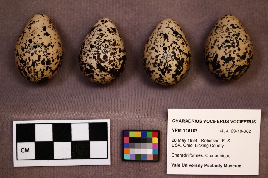 | Charadrius vociferus vociferus Linnaeus, 1758 | 1884 | F. S. Robinson | |
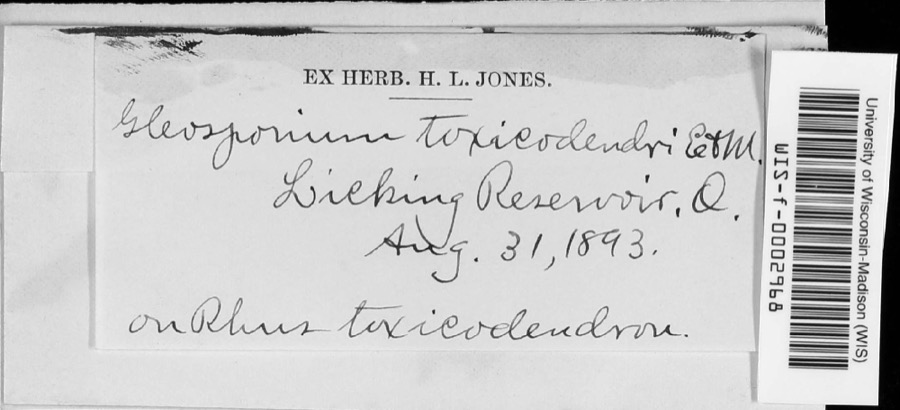 | Cylindrosporium Grev., 1822 | 1893 | unknown | Licking Reservoir |
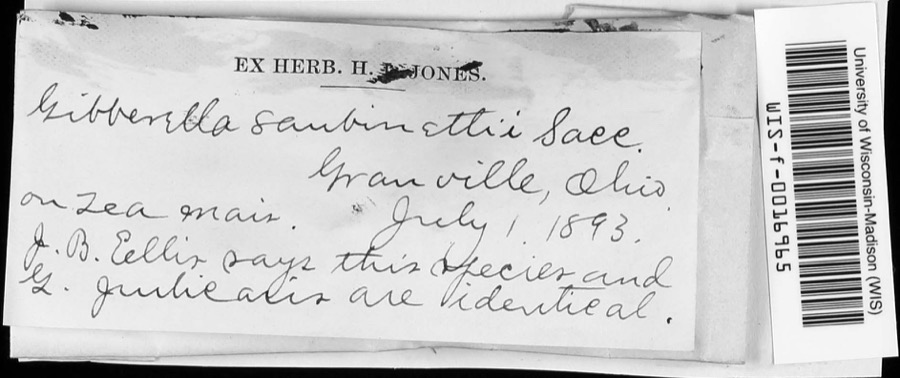 | Gibberella saubinetii (Durieu & Mont.) Sacc. | 1893 | J.B. Ellis | Granville |
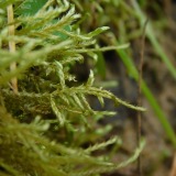 | Helodium paludosum (Austin) Austin ex Broth. | 1843 | Asa Gray; W. S. Sullivant | in Cranberry Marsh, northern Ohio |
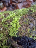 | Hypnum paludosum (Hedw.) P.Beauv. | 1843 | A. Gray; W. S. Sullivant | in Cranberry Marsh, northern Ohio |
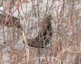 | Bonasa umbellus (Linnaeus, 1766) | 1853 | Mack, D. (Don) | Eden Twp, Licking, Ohio, USA |
 | Philomachus pugnax (Linnaeus, 1758) | 1872 | Jasper, T. (Theodore) | Buckeye Lake, Ohio, USA |
 | Pelecanus erythrorhynchos Gmelin, 1789 | 1874 | not recorded | Licking Reservoir, Licking, Ohio, USA |
 | Calidris canutus rufa (A.Wilson, 1813) | 1878 | Savage, E. (Ed) | Buckeye Lake Reservoir, Licking, Ohio, USA |
 | Lophodytes cucullatus (Linnaeus, 1758) | 1878 | not recorded | Licking Reservoir, Licking, Ohio, USA |
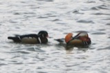 | Aix sponsa (Linnaeus, 1758) | 1880 | not recorded | Licking Reservoir, Licking, Ohio, USA |
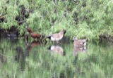 | Anas americana J.F.Gmelin, 1789 | 1880 | not recorded | Buckeye Lake Reservoir, Licking, Ohio, USA |
All 2,506 specimens within 10 miles, at the Global Biodiversity Information Facility.
Nearest settlements
The eight closest, with where each one stands in the county. Distances are straight-line, computed from the Geographic Names Information System coordinates.
| Map | Place | Distance | Sheets |
|---|---|---|---|
| Hebron | 1.3 miles | 14 | |
| Atherton | 1.7 miles | 14 | |
| Buckeye Lake | 1.9 miles | 14 | |
| Harbor Hills | 2.4 miles | 14 | |
| Canyon Villa Estates | 2.7 miles | 11 | |
| Jacksontown | 2.9 miles | 14 | |
| Sandstone Canyon | 3.1 miles | 11 | |
| Hollywood by the Lake | 3.3 miles | 11 |
Elsewhere
Matched on this settlement's Geographic Names Information System number rather than its name, so it cannot be a different place of the same name in another state.
| Wikipedia article on Moscow (historical) | An encyclopaedic summary. Its text is share-alike, so it is linked here rather than copied. |
| Wikidata item Q22679651 | The structured record the population and elevation above come from. Public domain (CC0). |
Provenance
This settlement is recorded in the Geographic Names Information System as feature 1063839. The sheet list is computed by point-in-boundary test against the United States Geological Survey's historical topographic inventory. Both are works of the United States government and carry no copyright under 17 U.S.C. 105.
Wildfire. Short, Karen C. 2022. Spatial wildfire occurrence data for the United States, 1992-2020 [FPA_FOD_20221014]. 6th Edition. Fort Collins, CO: Forest Service Research Data Archive. https://doi.org/10.2737/RDS-2013-0009.6 Collected with United States Government funding and usable without additional permissions or fees.
Specimens. Global Biodiversity Information Facility (GBIF), https://www.gbif.org/. Only records licensed CC0 or CC BY are used. Records licensed CC BY-NC are excluded because this site carries advertising. Images are checked individually and any whose licence is non-commercial, no-derivatives or unreadable is refused.