 Block
Mount Carmel, Ohio
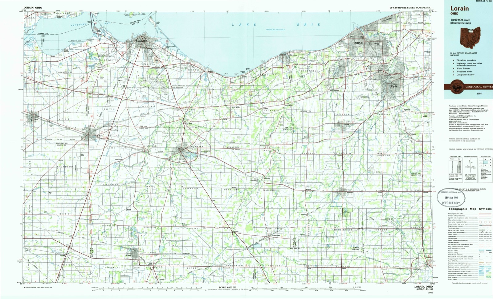
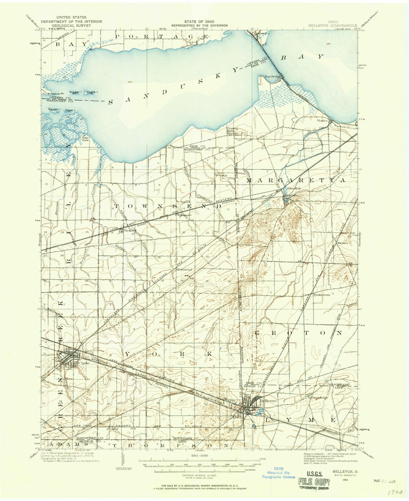
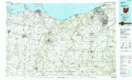
16 topographic sheets cover this place, the earliest surveyed in 1901 and the latest in 1986. It stands in York Township. It lies in ZIP code area 43410. The Survey maps it on the Clyde quadrangle.
Then and now
1901 to 1986The same ground, surveyed 85 years apart. Drag the handle to wipe between them. Both sheets are United States Geological Survey originals; neither has been altered.
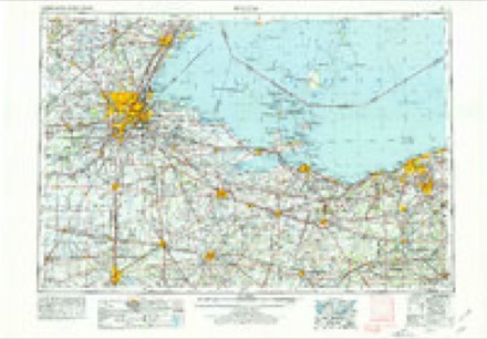
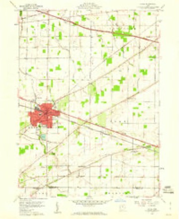
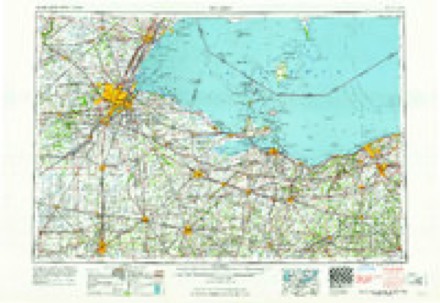
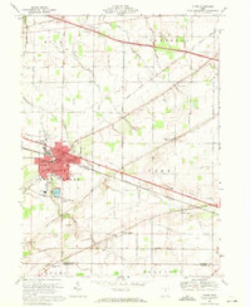
Topographic sheets covering this place
7 surveys from 16 printed sheetsMatched by testing this settlement's coordinate against the published boundary of every sheet in the United States Geological Survey's historical collection. Each opens the scanned sheet at the Survey.
- 1901 USGS Bellevue quadrangle1:62500
- 1903 USGS Bellevue quadrangle1:62500, 5 printings
- 1956 USGS Toledo quadrangle1:250000, 4 printings
- 1959 USGS Clyde quadrangle1:24000
- 1961 USGS Toledo quadrangle1:250000
- 1969 USGS Clyde quadrangle1:24000, 2 printings
- 1986 USGS Lorain quadrangle1:100000, 2 printings
In the county-history sources
13,970 words on this townshipHistory of Sandusky County, Ohio, published 1882; History of Sandusky County, Ohio : with Portraits and Biographies of Prominent Citizens and Pioneers, published 1882 names this settlement in its chapter on York Township. These are the passages that mention it, exactly as the scans read.
The United Brethren began holding meetings in the southwest part of York. As the Pennsylvania element of the population grew the membership increased until in 1863 the class had acquired sufficient strength to build a meeting-house. The house and class took the name "Mount Carmel" and is supplied by the pastor of Clyde circuit.
Passage source: History of Sandusky County, Ohio, published 1882.
Nowhere in the county did the primitive forest appear more hospitable than in York. West of the Sandusky River was, seemingly, an endless reach of dismal swamp, steaming with vapors poisoned by decaying vegetation. But here, trees grew to graceful size, and shaded soft grasses. The perfume of wild flowers wakened birds to song, and the fleet-footed deer gave gayety to the scene. Propitious nature welcomed with open arms all who came to build homes for themselves and an heritage for their children.
Passage source: History of Sandusky County, Ohio : with Portraits and Biographies of Prominent Citizens and Pioneers, published 1882.
Machine-read from a century-old scan, so expect the errors a machine makes: misspelled names, dropped words, stray characters.
Fires near this place
3 since 2002Regional context, not property-specific evidence. The federal wildfire occurrence database lists 3 fires within 5 miles of Mount Carmel in 2002, burning about 1 acre in total. None started naturally. 2 were recorded as arson. Distance is straight-line from the map coordinates, so a fire counted here may appear on a neighbouring settlement's page as well.
| Reported cause | Fires |
|---|---|
| Arson/incendiarism | 2 |
| Recreation and ceremony | 1 |
The most recent of them, most recent first, with the day each was reported and the service that recorded it.
| Date | Cause | Size | Reported by | Name on the report |
|---|---|---|---|---|
| 8 August 2002 | Recreation and ceremony | under an acre | Ohio State Fire Marshal's Office | not named |
| 27 April 2002 | Arson/incendiarism | under an acre | Ohio State Fire Marshal's Office | not named |
| 2 November 2002 | Arson/incendiarism | under an acre | Ohio State Fire Marshal's Office | not named |
Settlements close enough to share some of these fires:
Specimens collected near this place
12 of 178 shownRegional context, not property-specific evidence. Museums hold 178 specimens collected within 10 miles of Mount Carmel between 1889 and 1975: 117 Animalia, 49 Plantae, 12 Fungi. 12 distinct Species records are shown. Collected by A. D. Selby, Berra, T. M. (Tim M.) & Class, Boardman, C.M. and others. Each is a physical object with a catalogue number, and each entry opens the museum's record. This is what was collected and kept, not a survey of what lives here - nothing can be concluded from a species being absent.
| Image | Species | Year | Collected by | Where, as recorded |
|---|---|---|---|---|
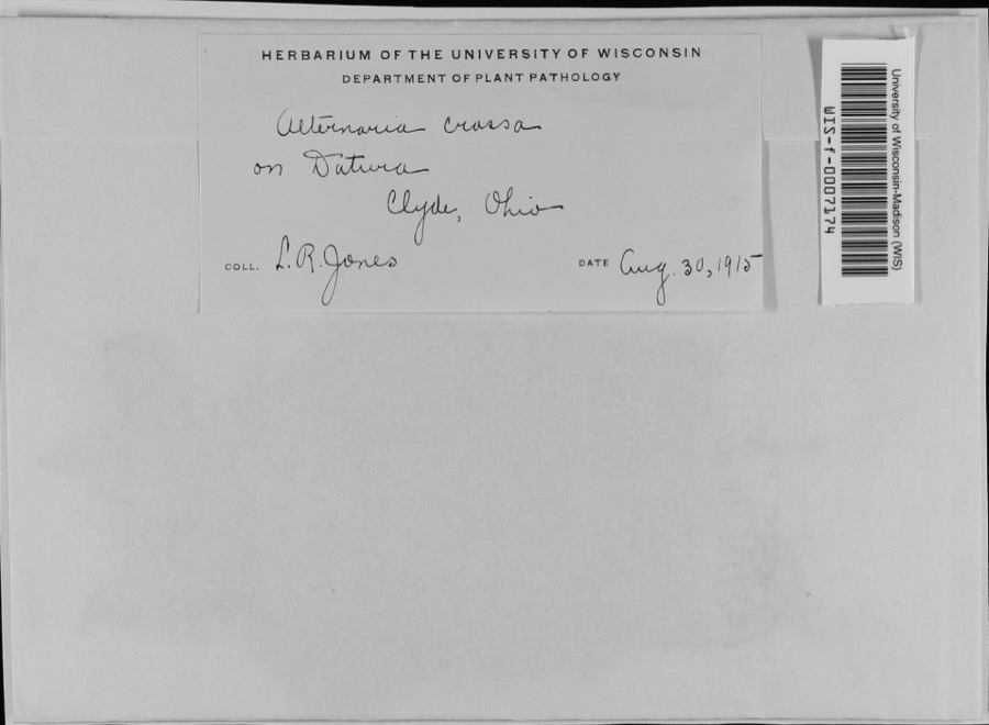 | Alternaria crassa (Sacc.) Rands | 1915 | L.R. Jones | Clyde |
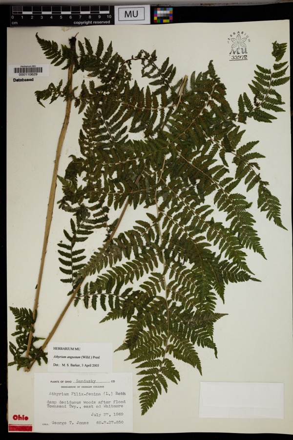 | Athyrium angustum (Willd.) C.Presl | 1969 | Jones, G.T. | Damp deciduous woods after flood Townsend Twp., east od Whitmore. |
 | Carex frankii Kunth | 1889 | H. C. Beardslee | Green Spring. |
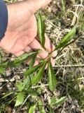 | Arisaema dracontium (L.) Schott | 1890 | H. C. Beardslee Sr. | Green Springs |
| Carex haleana Olney | 1890 | H. C. Beardslee Jr. | Green Spring | |
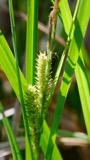 | Carex hyalinolepis Steud. | 1890 | Collector unknown | Green Spring. |
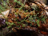 | Vicia hirsuta (L.) Gray | 1896 | Selby, A.D. | Clyde |
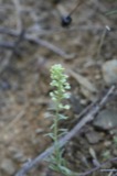 | Alyssum alyssoides (L.) L. | 1898 | A. D. Selby | |
 | Coryneum beijerinckii Oudem. | 1898 | Persing H. L. | Clyde |
 | Cylindrosporium padi P.Karst. | 1905 | Hassenplug C. R. | Bellevue |
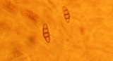 | Coniothyrium fuckelii Sacc. | 1908 | Wilbert E. C. | Clyde |
 | Elsinoe veneta (Burkh.) Jenkins | 1908 | Wilbert E. C. | Clyde |
All 178 specimens within 10 miles, at the Global Biodiversity Information Facility.
Mines and quarries near this place
8 within 5 milesRegional context, not property-specific evidence. The federal mineral resources record lists 8 workings within 5 miles of Mount Carmel: 5 past producers, 3 producers. 3 still produce. What was taken out: Limestone, General, Sand and Gravel, Construction, Stone, Crushed/Broken, Limestone, Dimension, Stone, Crushed/Broken. Distance is straight-line from the map coordinates, so a quarry counted here may appear on a neighbouring settlement's page as well.
| Where | Site | Commodity | Status | Recorded |
|---|---|---|---|---|
| Bellevue Quarry | Limestone, Dimension, Stone, Crushed/Broken | Producer | ||
| Bellevue Quarry | Stone, Crushed/Broken | Producer | ||
| Flat Rock Quarry | Stone, Crushed/Broken | Producer | ||
| Kline Sand and Gravel Pit | Sand and Gravel, Construction | Past Producer | Sedimentary | |
| Kline Sand and Gravel Pit | Sand and Gravel, Construction | Past Producer | ||
| Bellevue Quarry | Limestone, General | Past Producer | Sedimentary | |
| Bellevue Quarry | Limestone, General | Past Producer | Sedimentary | |
| Northern Ohio Stone Quarry | Limestone, General | Past Producer | Sedimentary |
Nearest settlements
The eight closest, with where each one stands in the county. Distances are straight-line, computed from the Geographic Names Information System coordinates.
| Map | Place | Distance | Sheets |
|---|---|---|---|
| Colby | 0.7 miles | 16 | |
| Clyde | 3.1 miles | 16 | |
| Galetown | 3.2 miles | 16 | |
| Wales Corners | 3.6 miles | 16 | |
| Shady Acres | 3.6 miles | 16 | |
| Oil Station | 4.1 miles | 13 | |
| Mount Pleasant | 4.1 miles | 18 | |
| Green Springs | 6.2 miles | 13 |
Elsewhere
Matched on this settlement's Geographic Names Information System number rather than its name, so it cannot be a different place of the same name in another state.
| Wikidata item Q35734720 | The structured record the population and elevation above come from. Public domain (CC0). |
Provenance
This settlement is recorded in the Geographic Names Information System as feature 1048988. The sheet list is computed by point-in-boundary test against the United States Geological Survey's historical topographic inventory. Both are works of the United States government and carry no copyright under 17 U.S.C. 105.
Wildfire. Short, Karen C. 2022. Spatial wildfire occurrence data for the United States, 1992-2020 [FPA_FOD_20221014]. 6th Edition. Fort Collins, CO: Forest Service Research Data Archive. https://doi.org/10.2737/RDS-2013-0009.6 Collected with United States Government funding and usable without additional permissions or fees.
Specimens. Global Biodiversity Information Facility (GBIF), https://www.gbif.org/. Only records licensed CC0 or CC BY are used. Records licensed CC BY-NC are excluded because this site carries advertising. Images are checked individually and any whose licence is non-commercial, no-derivatives or unreadable is refused.
Mines and quarries. USGS Mineral Resources Data System (MRDS) https://mrdata.usgs.gov/mrds/ A work of the United States government, no copyright under 17 U.S.C. 105.