58 topographic sheets and 24 fire insurance
atlases across 4 places.
Research this county
This curated hub for Sandusky County, Ohio brings together the page's documented record links, visible map or image evidence where published, and routes to related local records.
Use the page's provenance and linked records to distinguish the source material from the site's navigation and summaries.
How should I cite it?
Open the original record, preserve its repository and identifier, then use the citation tool for this page as a path back to the source.
Where should I go next?
Follow the county or state hub for related places and records, then use the guide for a source-aware research sequence.
From the record
9 National Register listings · 35 businesses named in the fire insurance atlases from 1887 to 1922 · the 1917 county history tells 2 stories and names 45 people · people the book names include Hon. George F. Aldrich (Sandusky Township, 1896) · Anderson, A. C., 278, 635 (Madison Township, 1909) (machine-read).
Ohio within the United StatesSandusky County within Ohio
Explore by year
What the record shows
4 places in this county were surveyed for fire insurance: Fremont, Clyde, Gibsonburg, Woodsville, between 1884 and 1961.
24 fire insurance atlas(es) survive for the county. Topographic coverage is national; fire insurance survey reached only incorporated places with something worth insuring.
732 topographic sheet readings cover the county's settlements.
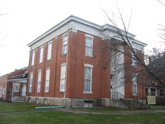
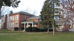
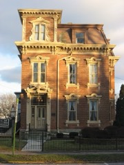
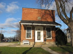
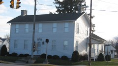
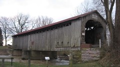
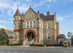
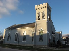
9 properties here are on the National Register of Historic Places, including 1 covered bridge, 6 houses and farms.
5 of the 9 listings were added during the 1970s.
The Geographic Names Information System records 54 populated places in this county; 0 are covered by at least one topographic sheet.
7 public-domain county histories, 1882 to 1917, supply 1,227,309 words of narrative reproduced here in full.
What happened here
2 accounts
A captivity, a drowning, a famine, a man
scalped clearing his lot in 1789. These are passages from A History of Northwest Ohio: a Narrative Account of Its Historical Progress and Development from the First European Exploration of the Maumee and Sandusky Valleys and the Adjacent Shores of Lake Erie, Down to the Present Time, written
while people who remembered the events were still alive, and each one
opens the section it comes from.
1917, Sandusky Township
Commemorative Bioorapiiical Record
son, was born in Pennsylvania in 1789. Her mother was a Miss Bo3'd, member of a family who settled in an early day among the Indians at Carlisle, Penn. During the French and Indian wars the entire family was captured save the father, who at the time was absent from home. In a neighboring schoolhouse the teacher and all the pupils were massacred.
On December 31, 1888, Mr. Mugg was married to Miss Maggie Matthews, a daughter of Eugene and Viola (Harrison) Matthews. The father of Mrs. Mugg was born at Seneca Falls, New York, and from there entered the Federal army at the time of the Civil War. He was wounded at the battle of Gettysburg and was also made a prisoner by the Confederates, but was subsequently paroled at Beaufort, South Carolina.
Taken for the Office of War Information and
the Farm Security Administration, who photographed the country between
1935 and 1944. Works of United States government photographers, with no
known restriction on use. Each opens its catalogue record.
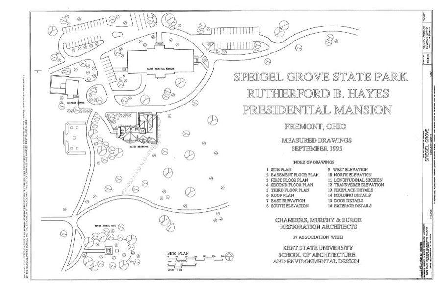
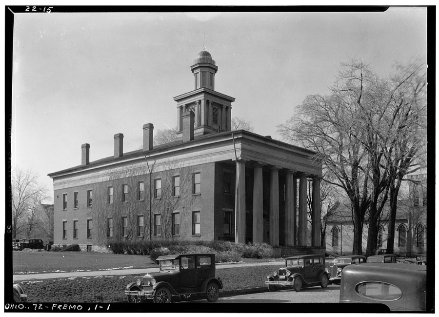
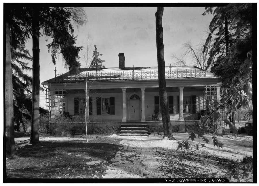
Spiegel Grove, 1337 Hayes Avenue, Fremont, Sandusky County, OH Unattributed, . Library of CongressSandusky County Courthouse, South Park Street, Fremont, Sandusky County, OH Unattributed, . Library of CongressEdgerton House, Buckland Avenue, Fremont, Sandusky County, OH Unattributed, . Library of Congress
Places on the National Register
9
Every property in this county listed on the
National Register of Historic Places, with the year it was listed and the
federal nomination document.
Sandusky County holds 1 covered bridges on
the National Register, more than any other property type here. Each is a listed
structure with a federal nomination on file.
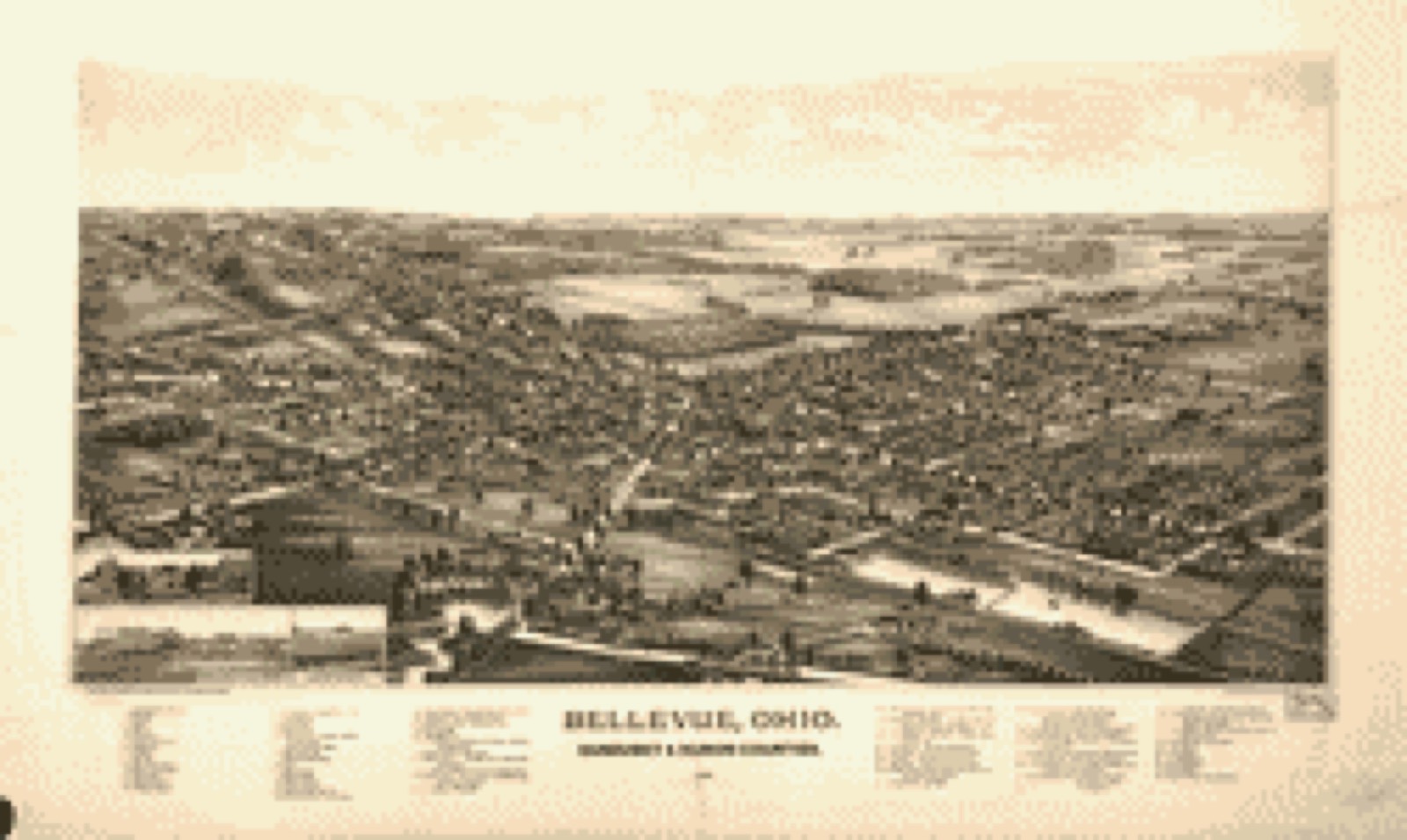
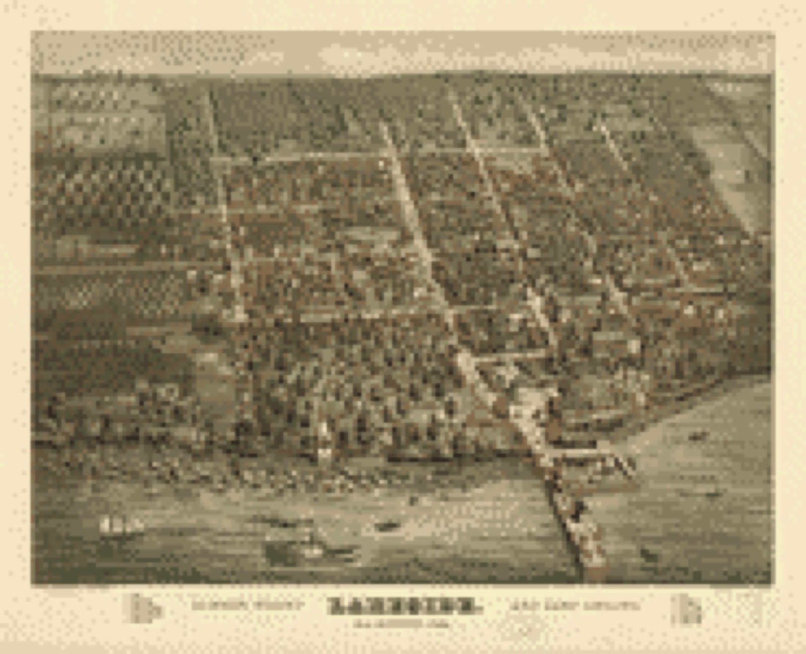
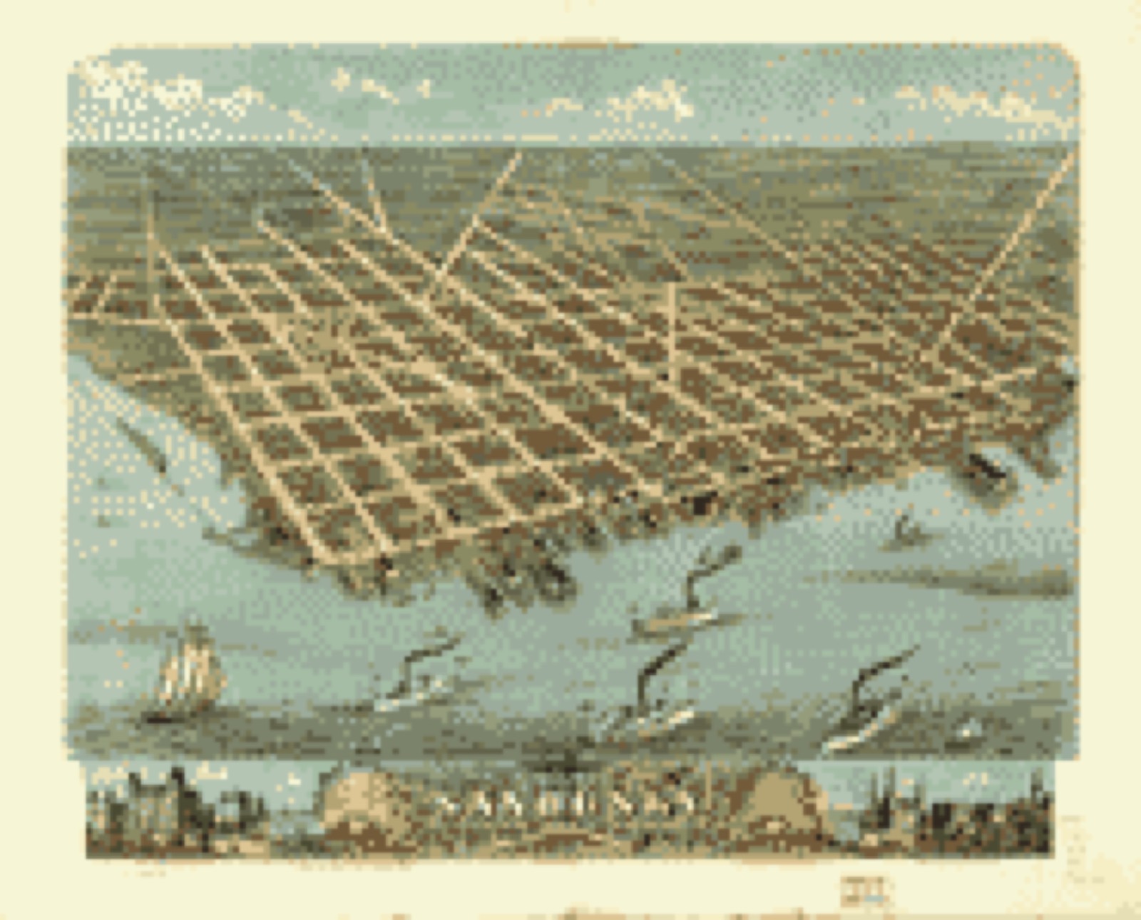
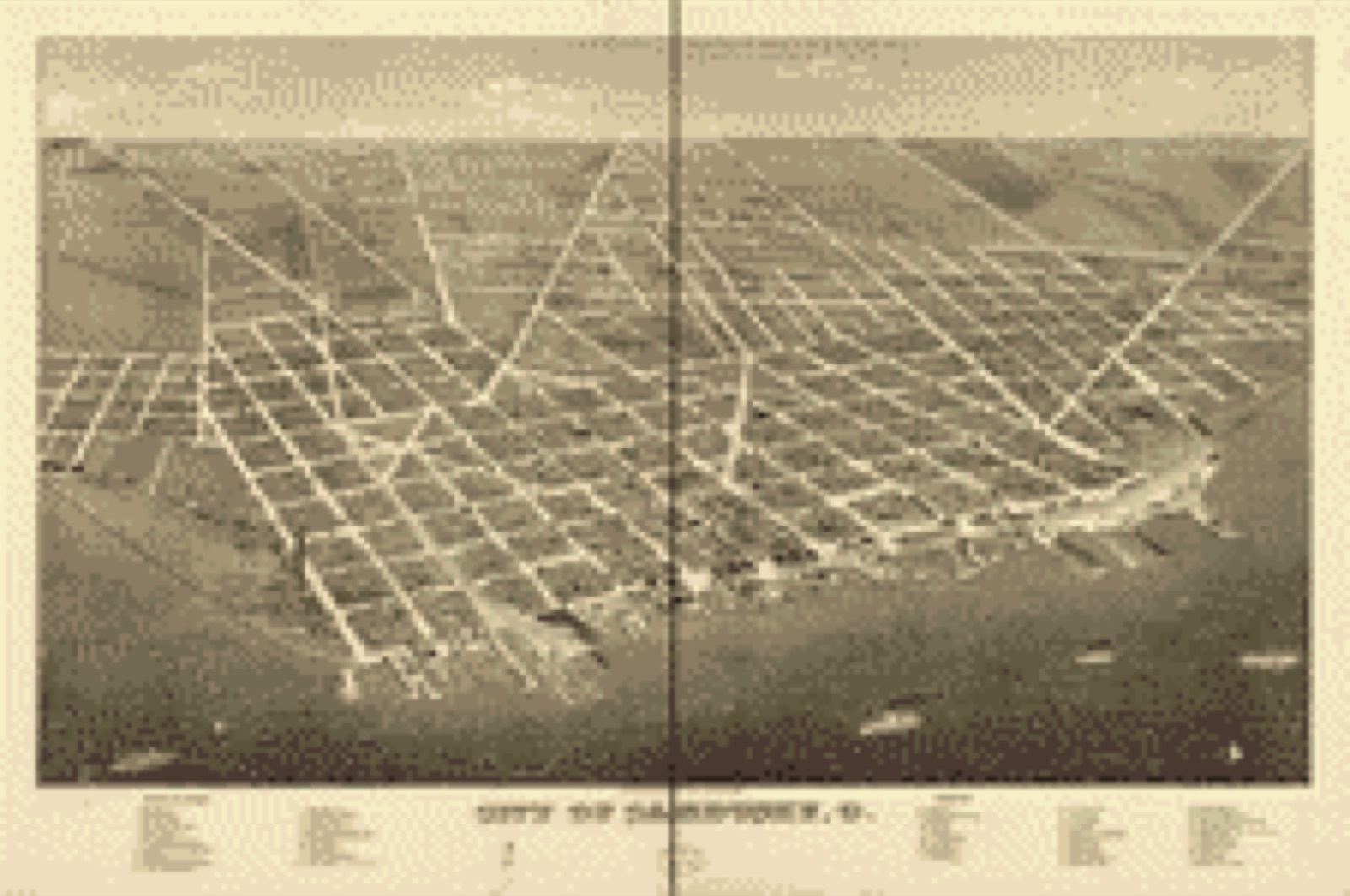
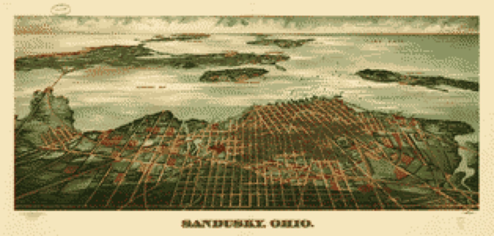
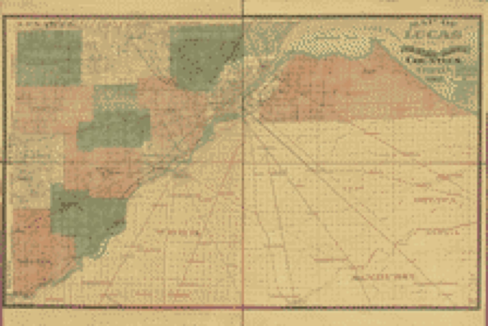
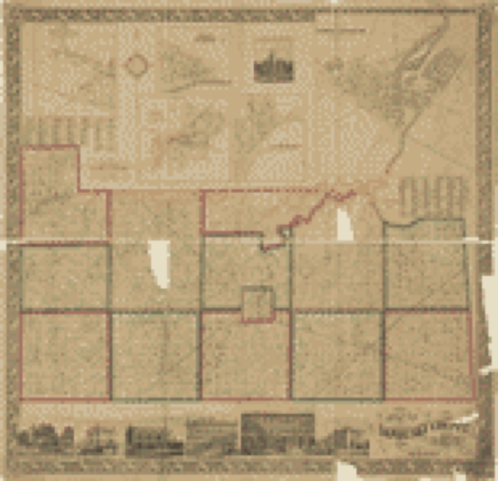
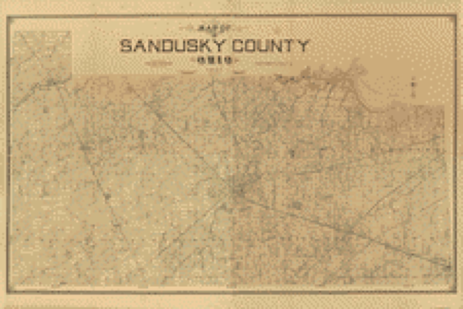
Drawn when these were printed as
single large sheets: the town seen from the air, and the county
divided into its farms with every owner named. Each opens the
original at the Library of Congress.
Bird's-eye view (1888) - Bellevue, Ohio, Sandusky & Huron counties 1888. Library of Congress.Bird's-eye view (1884) - Lakeside summer resort and camp ground, near Sandusky, Ohio. Library of Congress.Bird's-eye view (1870) - Bird's-eye-view of the city of Sandusky, Erie County, Ohio 1870. Library of Congress.Bird's-eye view (1883) - City of Sandusky, O.. Library of Congress.Bird's-eye view (1898) - Sandusky, Ohio. Library of Congress.Land ownership map (1888) - Map of Lucas and parts of Wood, Ottawa and Sandusky Counties, Ohio. Library of Congress.Land ownership map (1860) - Map of Sandusky County, Ohio. Library of Congress.Land ownership map (1891) - Map of Sandusky County, Ohio. Library of Congress.
Photographs from libraries nationwide
3 of 4 shown
Selected from the Digital Public Library
of America's 4 image records catalogued for this county. Every
one shown here carries a public-domain status or a licence that permits
reuse on a site that carries advertising; non-commercial, share-alike
and restricted images are excluded. The selection is spread across the
county's towns (at most eight per town), so no single institution's
bulk upload crowds out the rest. Each opens the holding library's
record, and
the complete set at the
Digital Public Library of America is one click away.
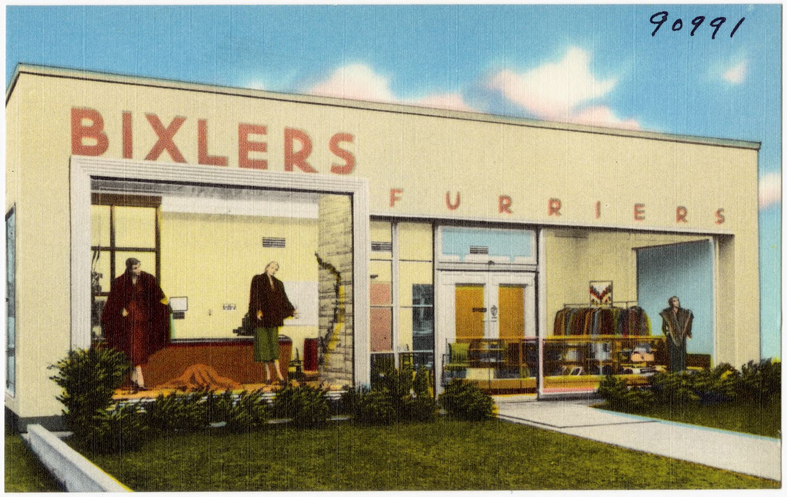
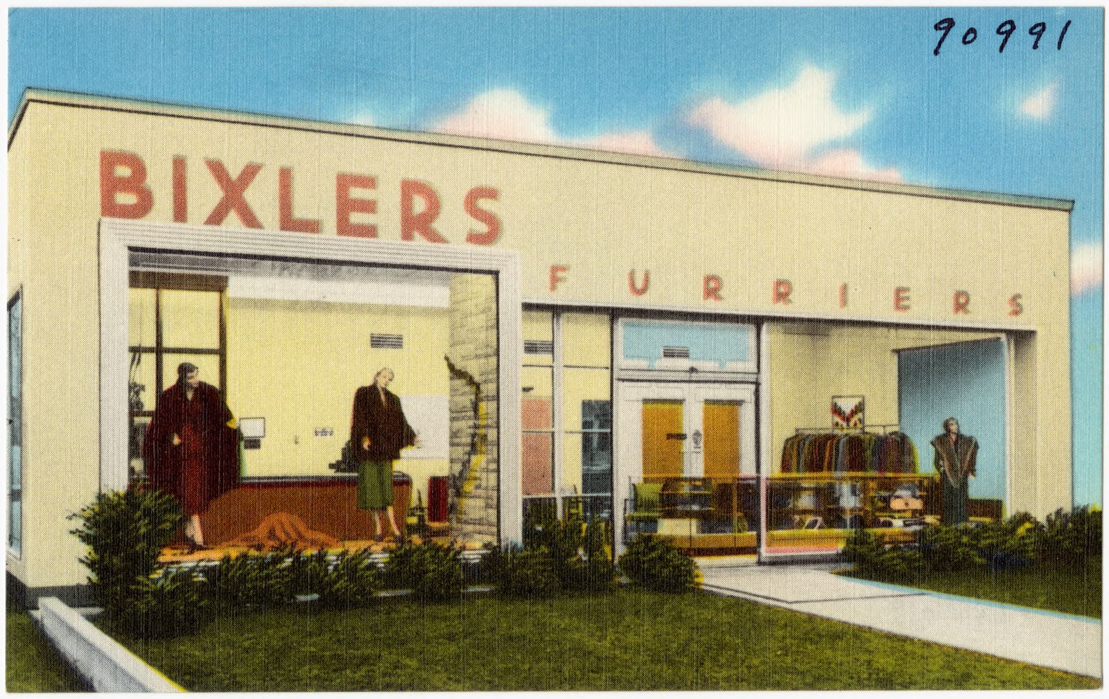
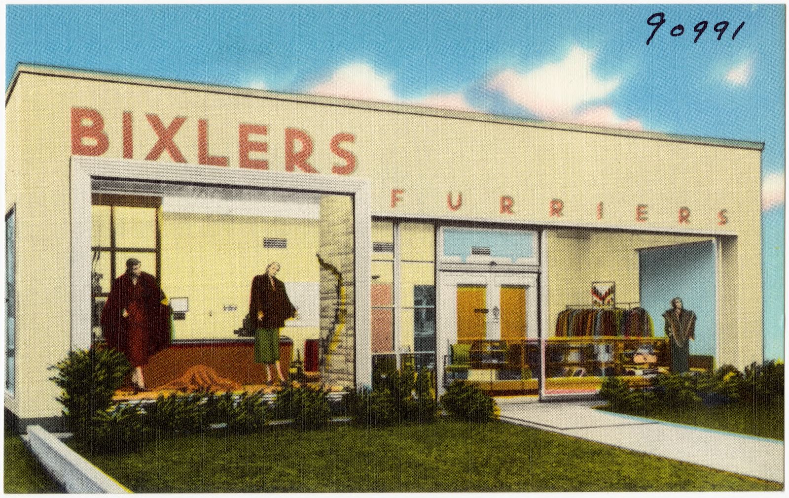
Bixlers Furriers. Boston Public Library, via the Digital Public Library of America.Bixlers Furriers. Boston Public Library, via the Digital Public Library of America.Bixlers Furriers. Boston Public Library, via the Digital Public Library of America.
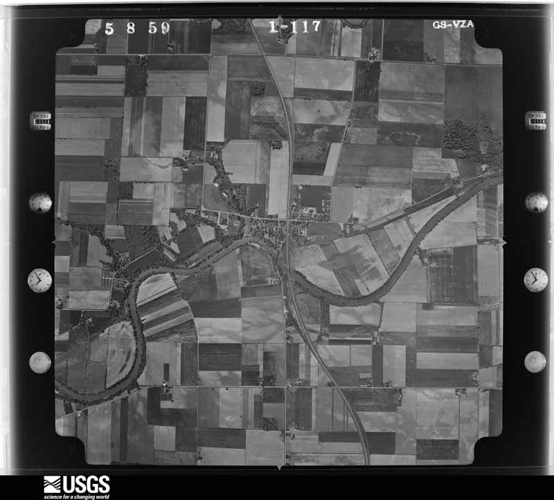
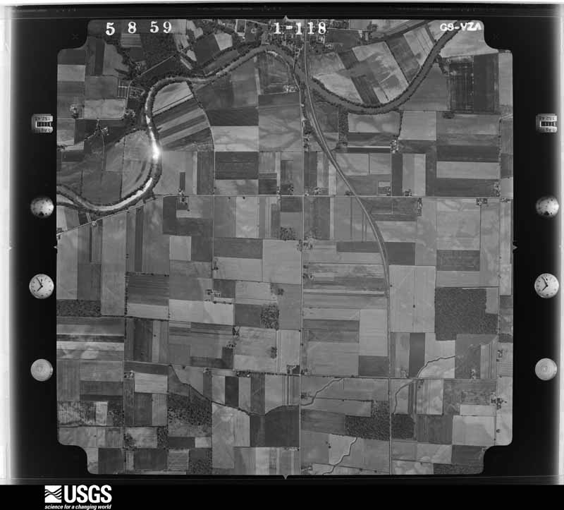
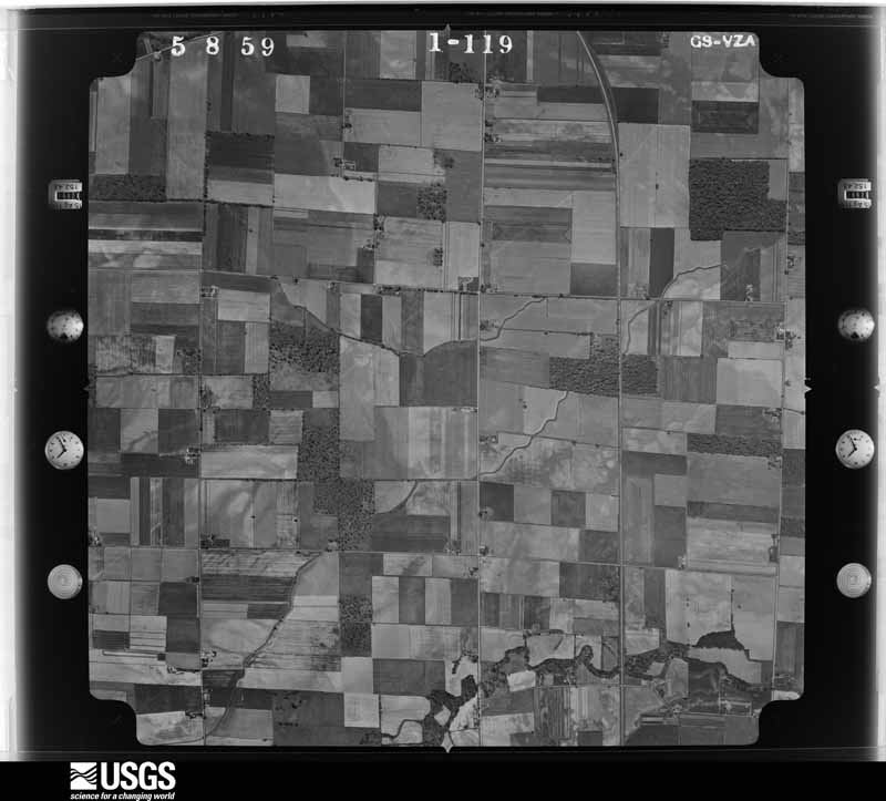
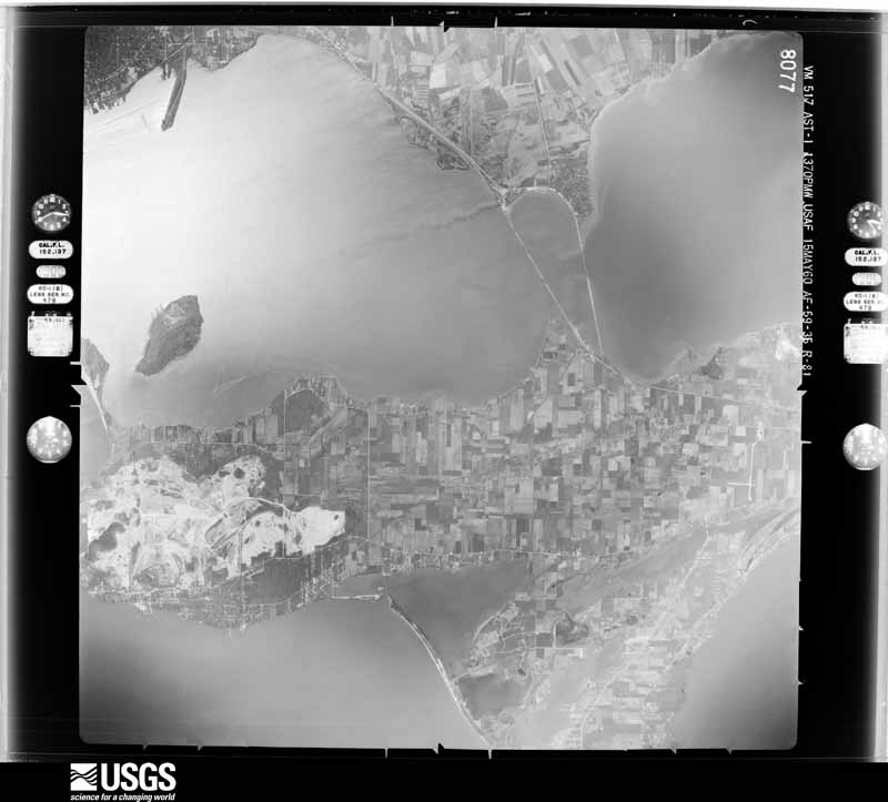
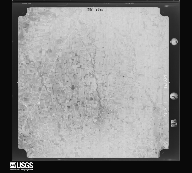
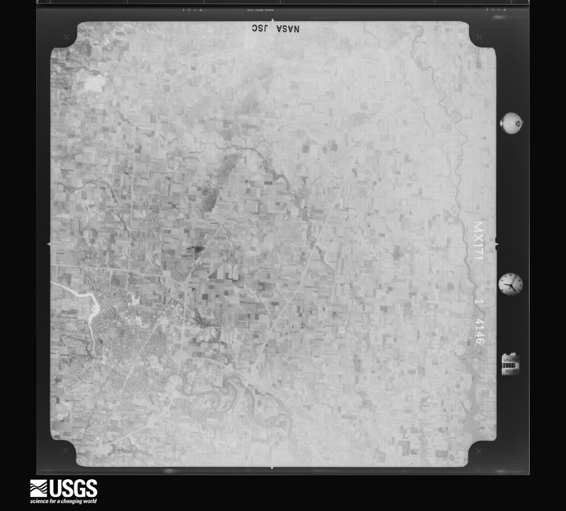
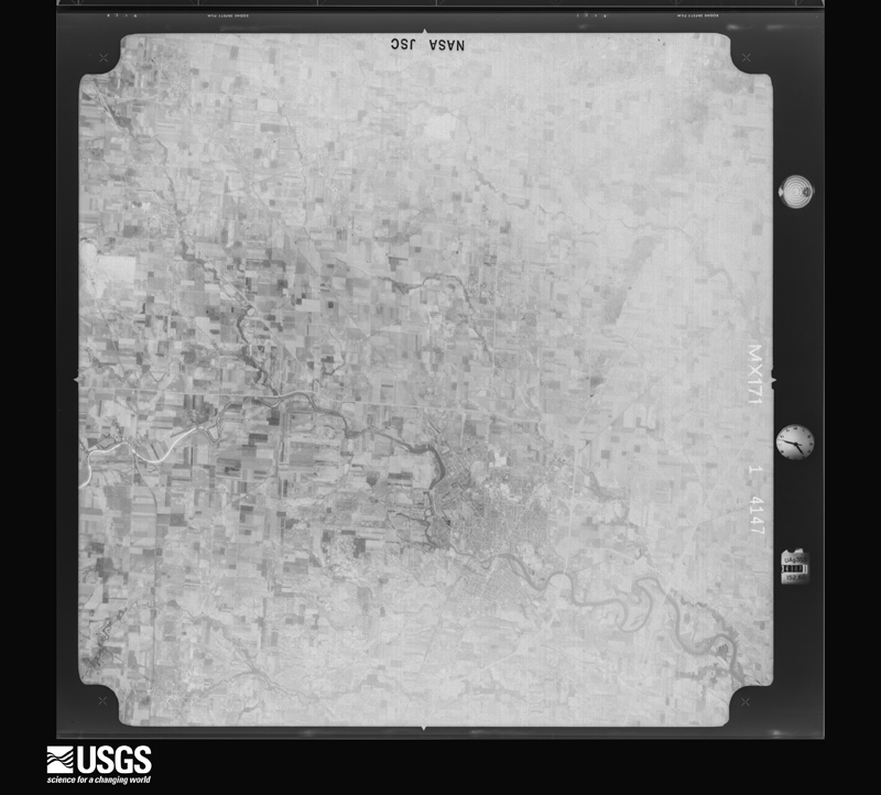
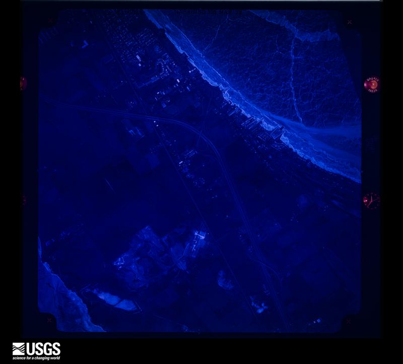
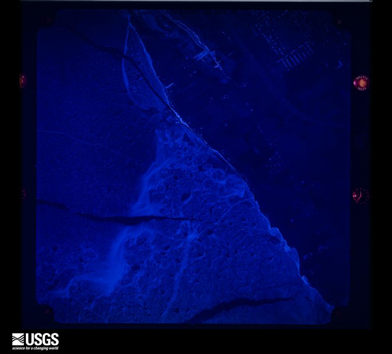
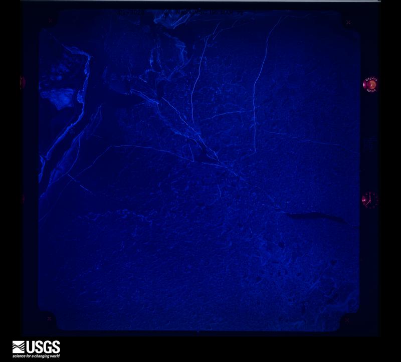
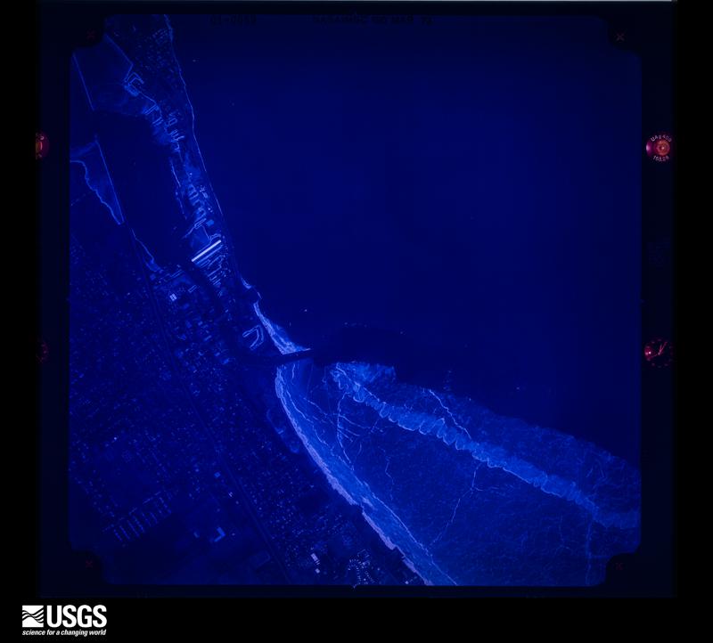
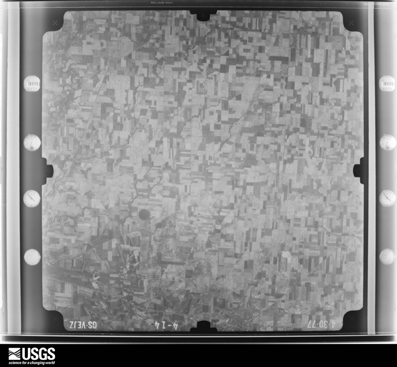
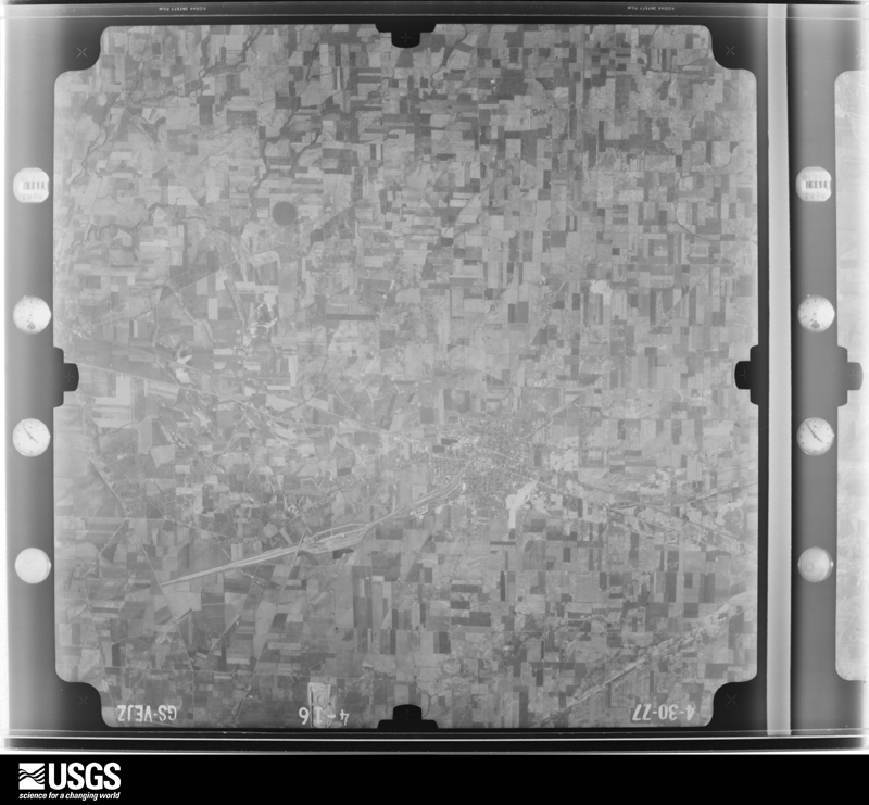
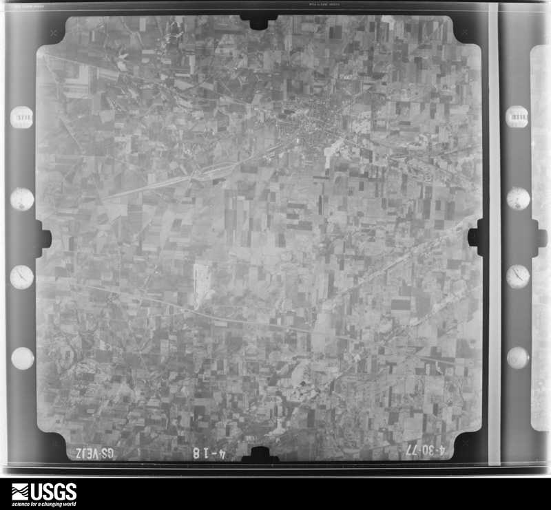
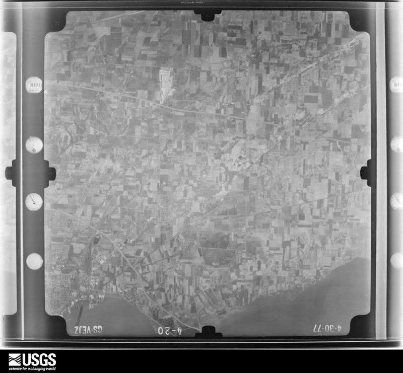
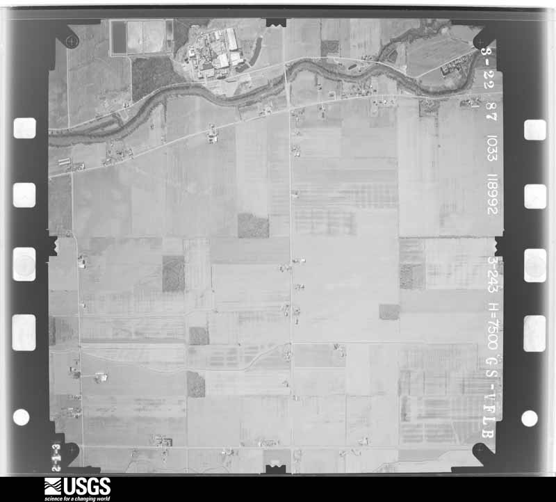
The county from the air
48 of 709 shown
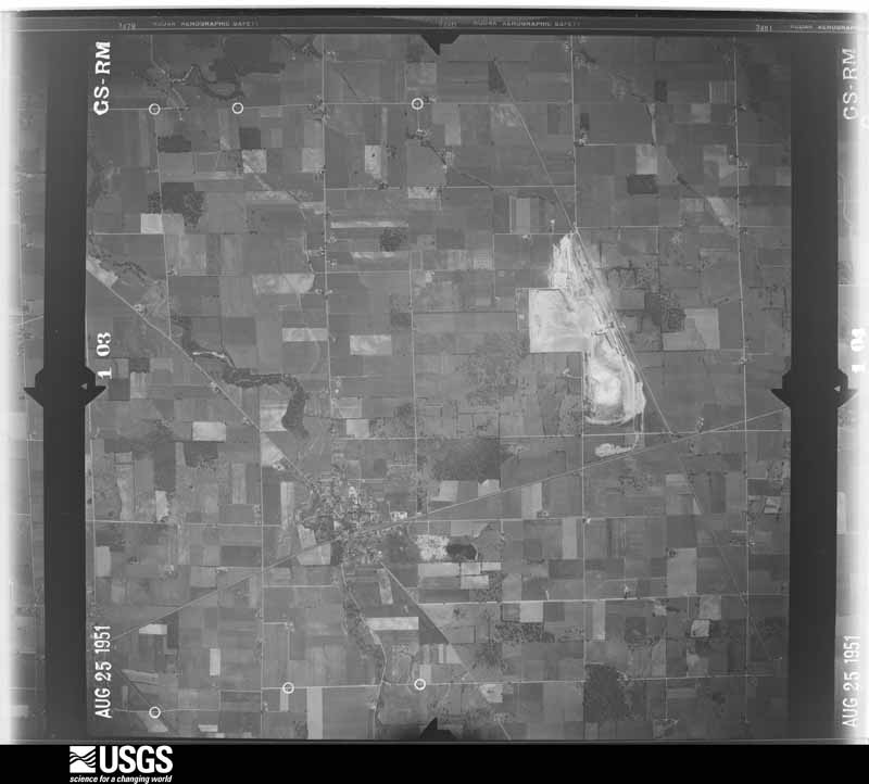
Flown by the U.S. Geological Survey
between 1937 and 1989, the Aerial Photo Single Frames collection is
the definitive mid-century view of the land: fields, roads and rivers
as the camera saw them. 709 frames touch this county; the
selection below spreads across the decades of flights (at most four
per year), so one flight cannot crowd out the rest. The full set is
free to browse and download at
EarthExplorer under the dataset Aerial Photo Single
Frames.
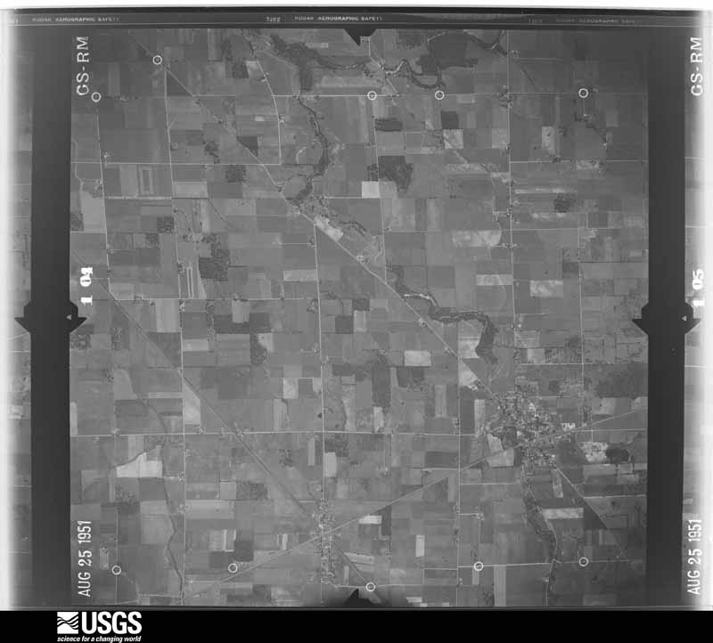
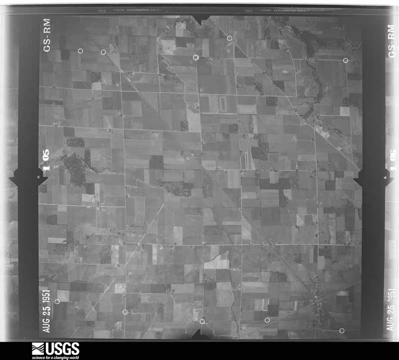
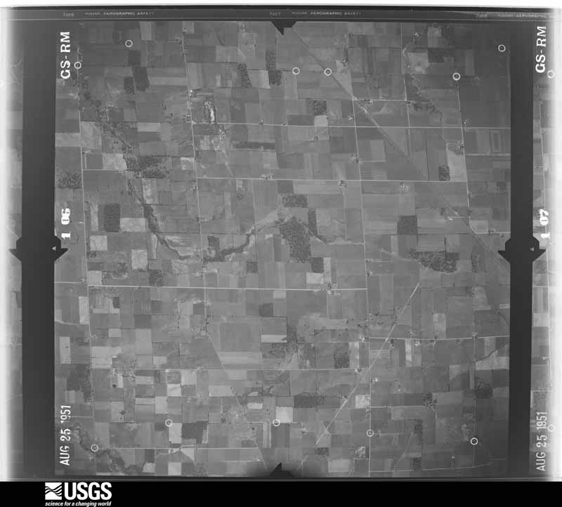
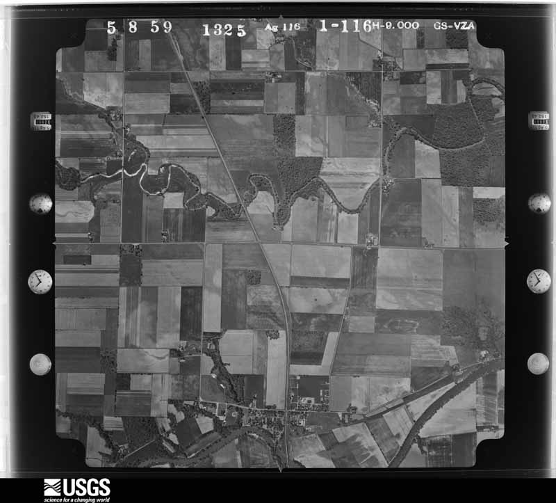
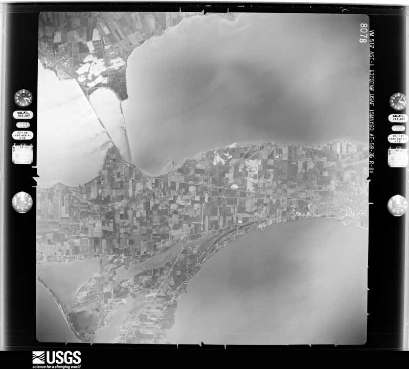
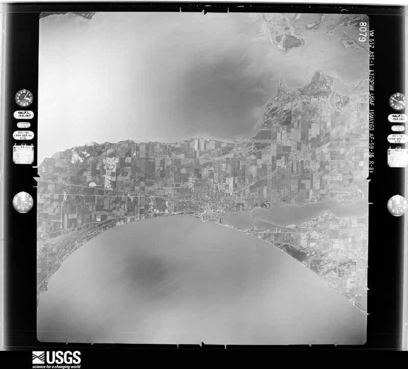
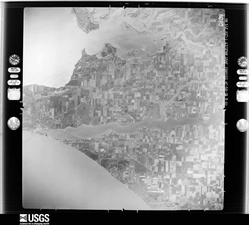
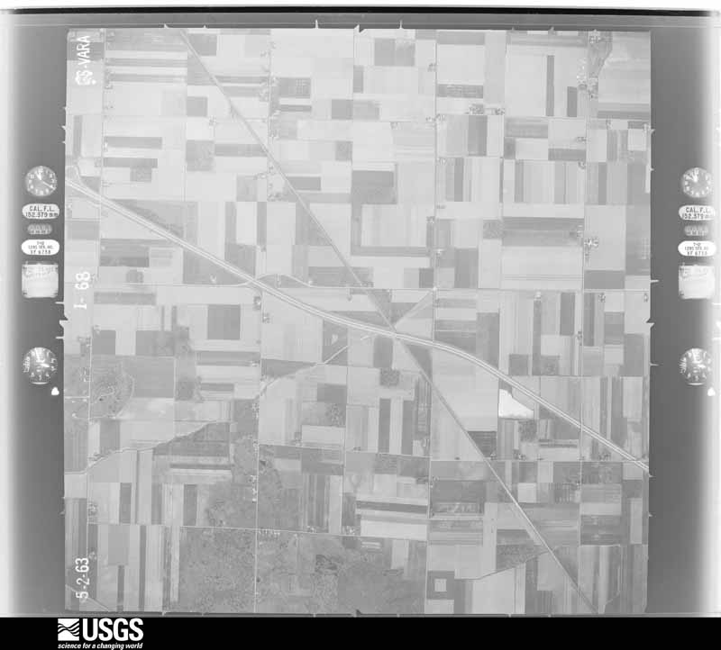
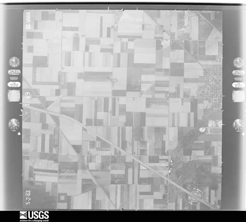
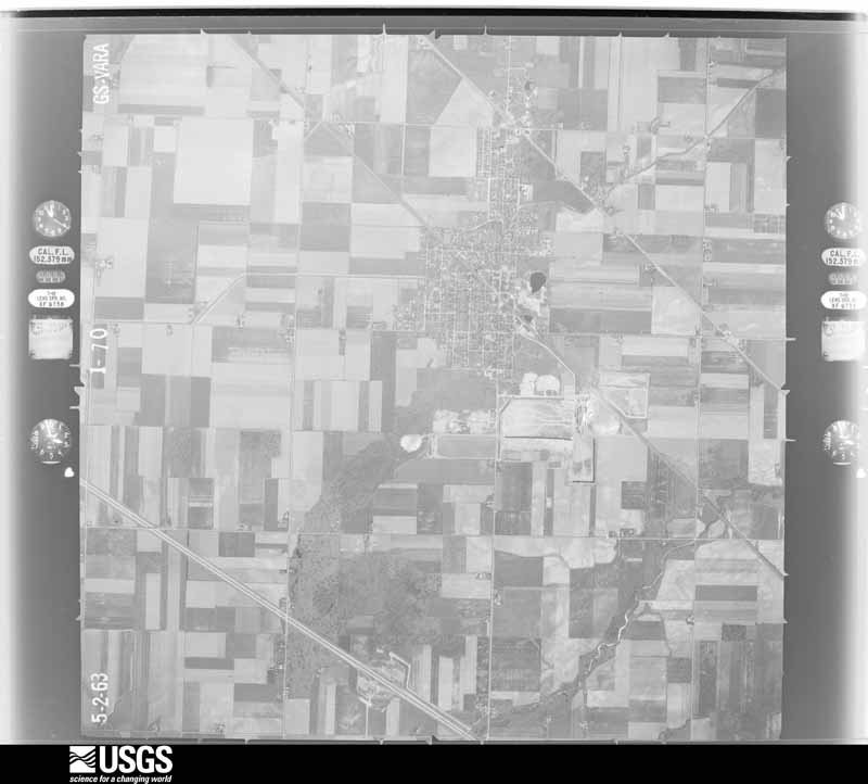
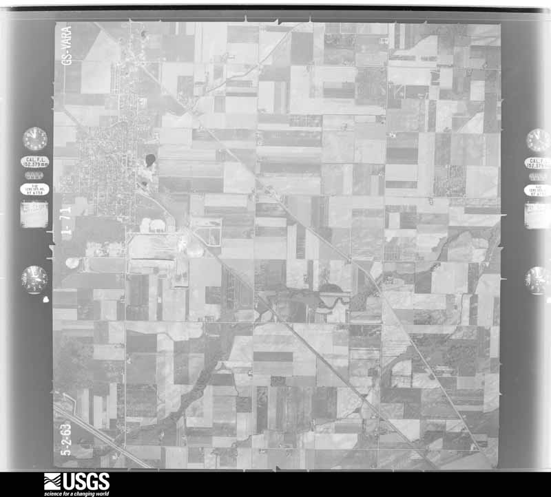
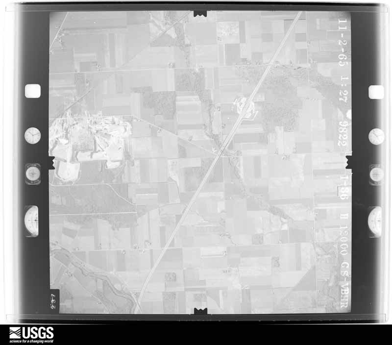
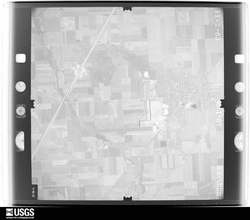
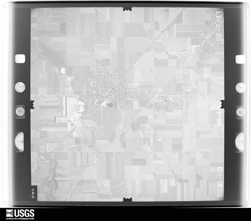
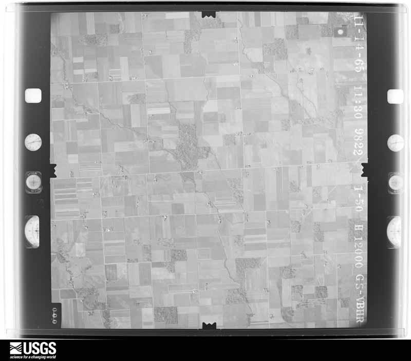
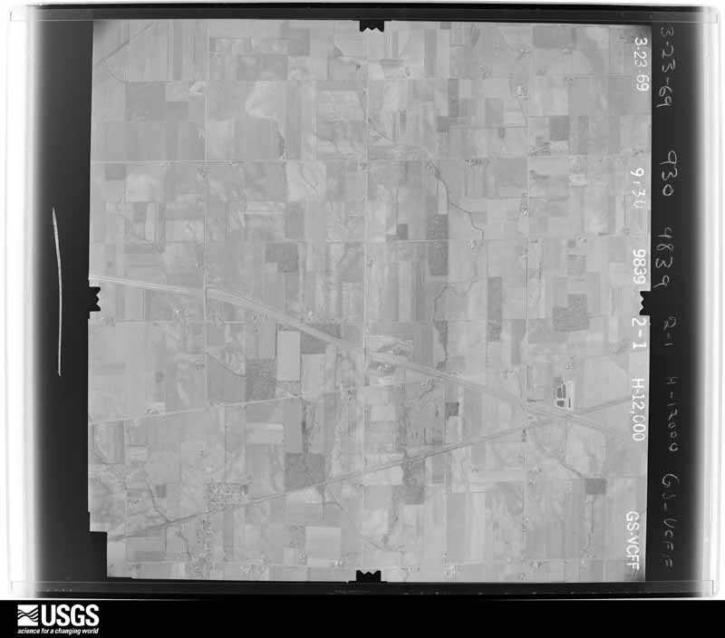
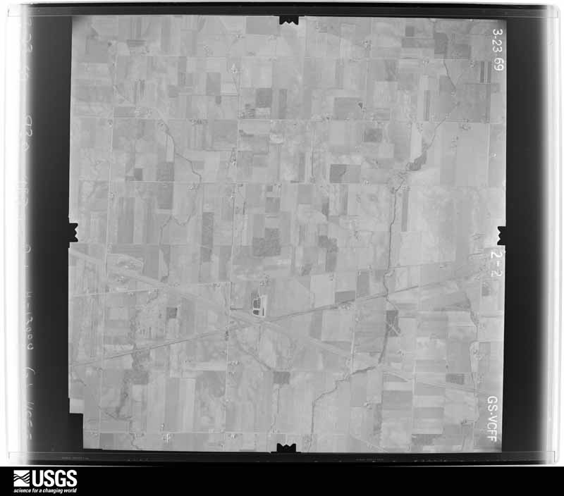
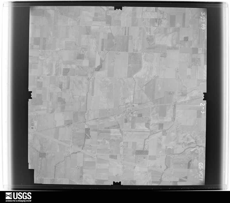
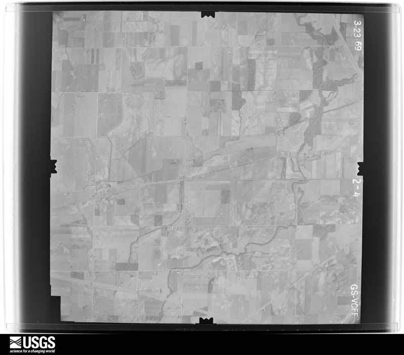
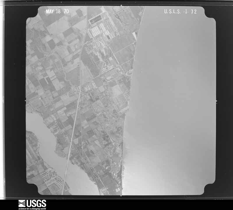
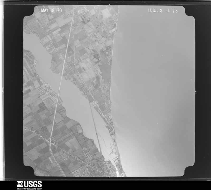
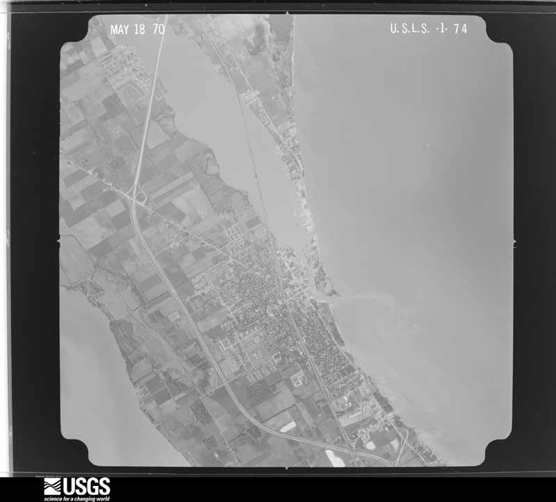
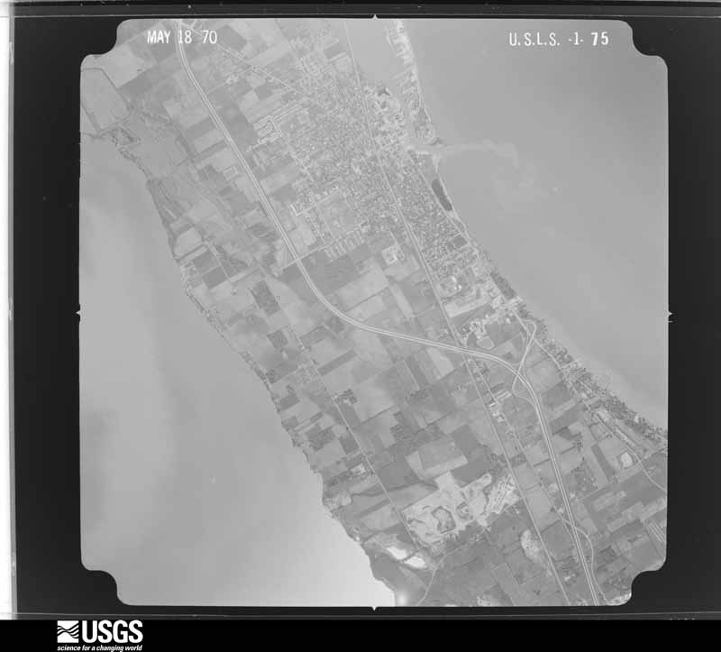
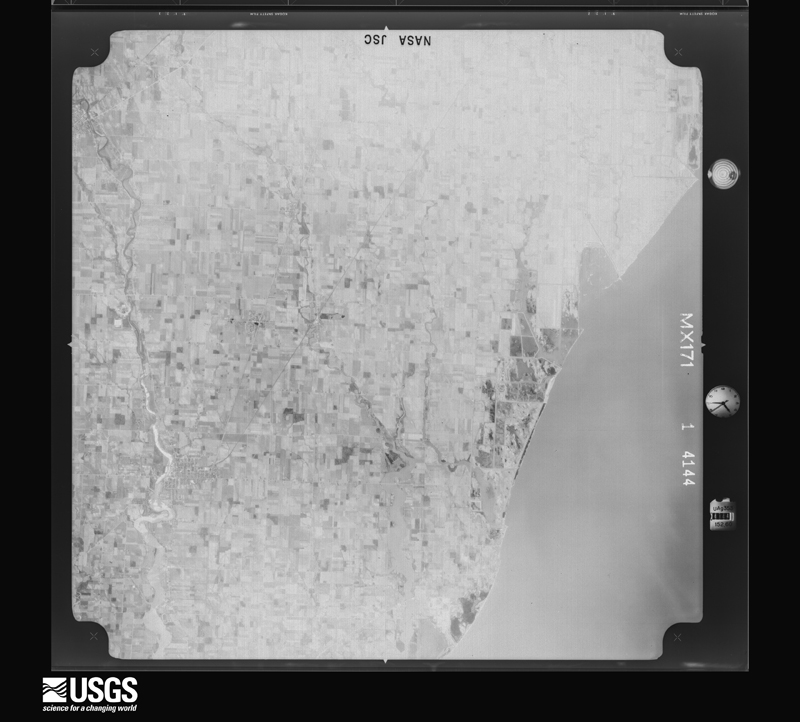
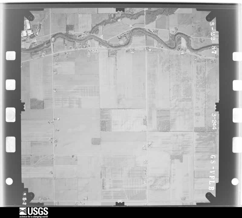
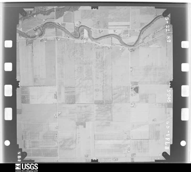
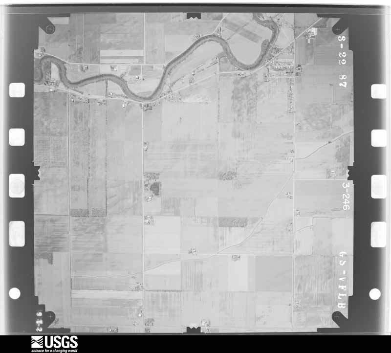
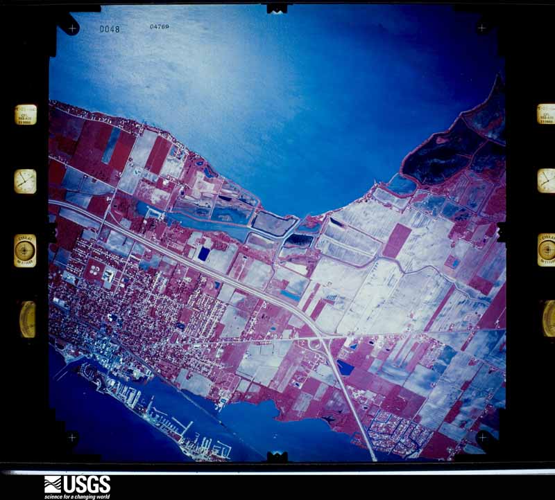
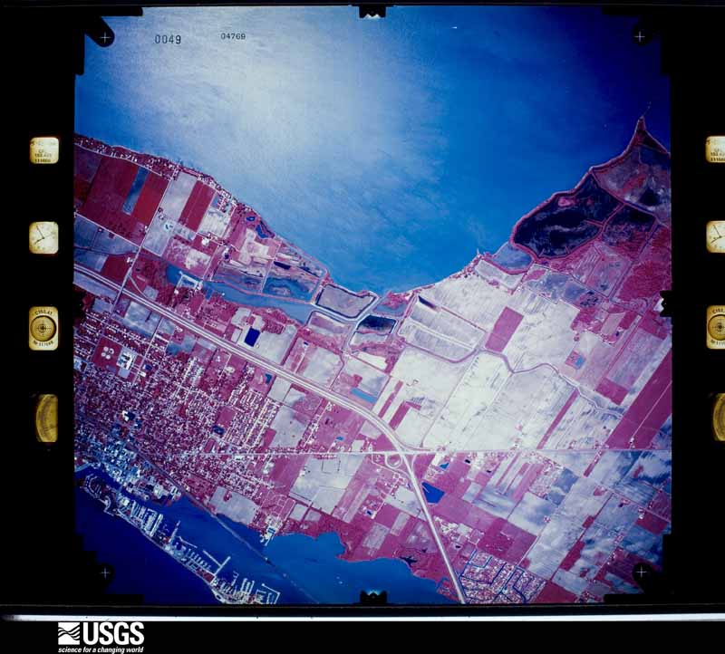
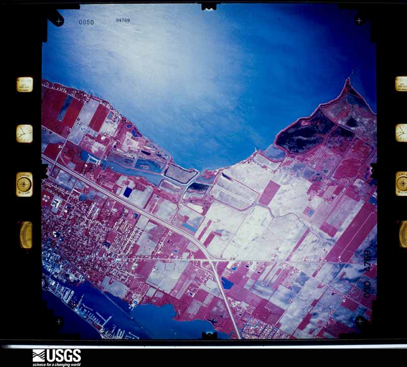
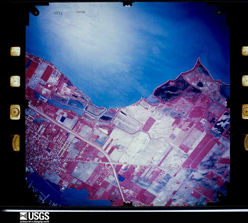
1951-10-01, scale 1:29600. U.S. Geological Survey aerial photograph.1951-10-01, scale 1:29600. U.S. Geological Survey aerial photograph.1951-10-01, scale 1:29600. U.S. Geological Survey aerial photograph.1951-10-01, scale 1:29600. U.S. Geological Survey aerial photograph.1959-05-08, scale 1:18000. U.S. Geological Survey aerial photograph.1959-05-08, scale 1:18000. U.S. Geological Survey aerial photograph.1959-05-08, scale 1:18000. U.S. Geological Survey aerial photograph.1959-05-08, scale 1:18000. U.S. Geological Survey aerial photograph.1960-05-15, scale 1:60000. U.S. Geological Survey aerial photograph.1960-05-15, scale 1:60000. U.S. Geological Survey aerial photograph.1960-05-15, scale 1:60000. U.S. Geological Survey aerial photograph.1960-05-15, scale 1:60000. U.S. Geological Survey aerial photograph.1963-05-01, scale 1:24000. U.S. Geological Survey aerial photograph.1963-05-01, scale 1:24000. U.S. Geological Survey aerial photograph.1963-05-01, scale 1:24000. U.S. Geological Survey aerial photograph.1963-05-01, scale 1:24000. U.S. Geological Survey aerial photograph.1965-11-01, scale 1:24000. U.S. Geological Survey aerial photograph.1965-11-01, scale 1:24000. U.S. Geological Survey aerial photograph.1965-11-01, scale 1:24000. U.S. Geological Survey aerial photograph.1965-11-01, scale 1:24000. U.S. Geological Survey aerial photograph.1969-03-01, scale 1:24000. U.S. Geological Survey aerial photograph.1969-03-01, scale 1:24000. U.S. Geological Survey aerial photograph.1969-03-01, scale 1:24000. U.S. Geological Survey aerial photograph.1969-03-01, scale 1:24000. U.S. Geological Survey aerial photograph.1970-05-21, scale 1:30000. U.S. Geological Survey aerial photograph.1970-05-21, scale 1:30000. U.S. Geological Survey aerial photograph.1970-05-21, scale 1:30000. U.S. Geological Survey aerial photograph.1970-05-21, scale 1:30000. U.S. Geological Survey aerial photograph.1971-04-16, scale 1:100255. U.S. Geological Survey aerial photograph.1971-04-16, scale 1:100255. U.S. Geological Survey aerial photograph.1971-04-16, scale 1:100255. U.S. Geological Survey aerial photograph.1971-04-16, scale 1:100255. U.S. Geological Survey aerial photograph.1972-02-29, scale 1:18644. U.S. Geological Survey aerial photograph.1972-02-29, scale 1:18644. U.S. Geological Survey aerial photograph.1972-02-29, scale 1:18610. U.S. Geological Survey aerial photograph.1972-02-29, scale 1:18731. U.S. Geological Survey aerial photograph.1977-04-01, scale 1:80000. U.S. Geological Survey aerial photograph.1977-04-01, scale 1:80000. U.S. Geological Survey aerial photograph.1977-04-01, scale 1:80000. U.S. Geological Survey aerial photograph.1977-04-01, scale 1:80000. U.S. Geological Survey aerial photograph.1987-03-01, scale 1:15000. U.S. Geological Survey aerial photograph.1987-03-01, scale 1:15000. U.S. Geological Survey aerial photograph.1987-03-01, scale 1:15000. U.S. Geological Survey aerial photograph.1987-03-01, scale 1:15000. U.S. Geological Survey aerial photograph.1994-06-08, scale 1:27500. U.S. Geological Survey aerial photograph.1994-06-08, scale 1:27500. U.S. Geological Survey aerial photograph.1994-06-08, scale 1:27000. U.S. Geological Survey aerial photograph.1994-06-08, scale 1:27000. U.S. Geological Survey aerial photograph.
Weather records
9 stations, 18 gages
The thermometers that kept this
county's weather, and the gages that watched its rivers, as the
federal records hold them. The extremes below are measured values
from those records, not estimates.
VICKERY 2 NW1893 to 1953, hottest 41.7 C, coldest -31.1 C
FREMONT1901 to 2026, hottest 41.7 C, coldest -28.9 C
FREMONT AG STN1996 to 2012, hottest 36.7 C, coldest -23.9 C
Who lived here in 1950, one enumeration
district at a time, as the Census Bureau described each district.
Each row opens its official National Archives result, with Population
Schedules and ED Maps available there.
72-1Ballville township: Ballville, unincorporated. (See boundaries shown on aerial photo PV - 2 - 189)
72-2Ballville township -That part east of State Hwy. 53, outside Fremont city and Ballville, unincorporated. (See aerial photo PV - 2 - 189 for boundaries of Ballville)
72-3Ballville township - That part west of State Hwy. 53, outside Ballville, unincorporated. (See aerial photo PV - 2 - 189 for boundaries of Ballville)
72-4Bellevue township, comprising that part of Bellevue city in Sandusky County: Bellevue city - That part comprising Ward 1 in Sandusky County: Bounded by City limits; N. West; W. Main; City limits
72-5Bellevue city - That part of Ward 2 in Sandusky County Bounded by W. Main; Kilborne; City limits
72-6Bellevue city - That part of Ward 2 in Sandusky County Bounded by Kilborne, W. Main; S. West; City limits; City limits (Remainder of Bellevue city is in Bellevue township in Huron County)
72-7Fremont city: Fremont city - That part of Ward 1 Bounded by Birchard Ave., Ward line; Sandusky River; New York Central Railroad
72-8Fremont city - That part of Ward 1 Bounded by Birchard Ave.; New York Central Railroad, Sandusky River; South; Whittlesey
72-9Fremont city - That part of Ward 1 Bounded by Birchard Ave.; Buckland Ave.; City limits
72-10Fremont city - That part of Ward 1 Bounded by Buckland Ave.; Whittlesey City limits; City limits
72-11Fremont city - That part of Ward 1 Bounded by South; Sandusky River; City limits; Whittlesey
72-12Fremont city - That part of Ward 2 Bounded by City limits; Sandusky River; Nickel Plate Railroad; Rawson Ave.
72-13Fremont city - That part of Ward 2 Bounded by City limits; Rawson Ave.; Hazel; Franklin, Luckey, Clinton
72-14Fremont city - That part of Ward 2 Bounded by Hazel; Rawson Ave.; W. State; White Ave.
72-15Fremont city - That part of Ward 2 Bounded by City limits; Clinton, Luckey, Franklin; Hazel; White Ave.
72-16Fremont city - That part of Ward 2 Bounded by City limits; White Ave.; W. State; Carbon
72-17Fremont city - That part of Ward 2 Bounded by City limits; Carbon; W. State; City limits
72-18Fremont city - That part of Ward 2 Bounded by W. State; Lynn, Hickory, Spruce; Napoleon; City limits
72-19Fremont city - That part of Ward 2 Bounded by W. State; Napoleon; Spruce, Hickory, Lynn
72-20Fremont city - That part of Ward 2 Bounded by Nickel Plate Railroad; Sandusky River; W. State; Rawson Ave.
72-21Fremont city - That part of Ward 3 Bounded by Mulberry, N. 5th; City limits; Chestnut; Ohio Ave.
72-22Fremont city - That part of Ward 3 Bounded by City limits; City limits, N. 5th, Mulberry, Ohio Ave.; E. State; Sandusky River
72-23Fremont city - That part of Ward 3 Bounded by E. State, Ohio Ave., Chestnut; N. 5th, S. 5th, Thompson, Morrison; City limits; Sandusky River
72-24Fremont city - That part of Ward 3 Bounded by Chestnut; N. Buchanan, S. Buchanan; City limits; Morrison, Thompson, S. 5th, N. 5th
72-25Fremont city - That part of Ward 3 Bounded by Chestnut; City limits; City limits; S. Buchanan, N. Buchanan
72-26Fremont city - That part of Ward 4 Bounded by W. State; Sandusky River; Ward line, Birchard Ave.; Park Ave.
72-27Fremont city - That part of Ward 4 Bounded by Napoleon; Park Ave.; Birchard Ave.; New York Central Railroad
72-28Fremont city - That part of Ward 4 Bounded by Napoleon; New York Central Railroad; Birchard Ave.; City limits
72-29Green Creek township: Clyde village: Clyde village - That part Bounded by Village limits; Village limits; New York Central Railroad; Main
72-30Clyde village - That part Bounded by Village limits; Main; New York Central Railroad, Vine; Village limits
72-31Clyde village - That part Bounded by Vine, New York Central Railroad; Main; White; Mulberry
72-32Clyde village - That part Bounded by Vine, Mulberry, White; Main; Village limits; Village limits
72-33Clyde village - That part Bounded by New York Central Railroad; Village limits; Village limits; Main
72-34Green Springs village - That part in Sandusky County comprising part of Green Creek township (Remainder of Green Springs village is in Adams township, Seneca County)
72-35Green Creek township - That part northwest of New York Central Railroad, outside Clyde and Green Springs villages
72-36Green Creek township - That part southeast of New York Central Railroad, outside Clyde and Green Springs villages
72-37Helena village, comprising parts of Jackson and Washington townships: Helena village - That part in Jackson township
72-38Helena village - That part in Washington township
72-39Jackson township, outside Helena village: Burgoon village
72-40Jackson township - That part outside Burgoon and Helena villages (Remainder of Jackson township is in Helena village)
72-41Madison township: Gibsonburg village: Gibsonburg village - That part Bounded by Village limits; Village limits; Village limits; S. Main, N. Main
72-42Gibsonburg village - That part Bounded by Village limits; N. Main; W. Madison; Village limits
72-43Gibsonburg village - That part Bounded by Village limits, W. Madison; S. Main; Village limits; Village limits
72-44Madison township - That part outside Gibsonburg village
72-46Riley township: Riley township - That part north of U.S. Hwy. 6
72-47Riley township - That part south of U.S. Hwy. 6
72-48Sandusky township: Story Prairie, unincorporated: Story Prairie, unincorporated - That part Bounded by New York Central Railroad; Fremont city limits; Lake, Everett, Napoleon; Bush, U.S. Hwy. 20, Muskellunge River
72-49Story Prairie, unincorporated - That part Bounded by Napoleon, Everett, Lake; Fremont city limits; West Hayes Ave.; Bush
72-50Sandusky township - That part east of State Hwy. 19, outside Fremont city
72-51Sandusky township - That part west of State Hwy. 19, outside Fremont city and Story Prairie, unincorporated. (See separate map for boundaries of Story Prairie)
72-54Washington township, outside Helena village: Lindsey village
72-55Washington township - That part northeast of U.S. Hwy. 20, outside Lindsey village
72-56Washington township - That part southwest of U.S. Hwy. 20, outside Helena village (Remainder of Washington township is in Helena village)
72-57Woodville township: Woodville village: Woodville village - That part northeast of McPherson Hwy.
72-58Woodville village - That part southwest of McPherson Hwy.
72-59Woodville township - That part outside Woodville village
72-60York township: York township - That part northeast of U.S. Hwy. 20
72-61York township - That part southwest of U.S. Hwy. 20
Businesses named in the atlases
35 businesses
Every Sanborn volume opens with a printed index
naming the town's mills, tanneries, hotels and works by proprietor. Those
indexes were read off the scanned sheets by machine and then matched to each
other, so a business surveyed four times appears here once, with the years it
survived. 2 of these 35 were named in more than one atlas. Each carries a
crop of the line it was read from: the spelling is the recogniser's and the
1880s lithographer's, and the scan behind it is the proof.
Every wildfire the federal occurrence
database records inside this county: 15 of them, burning about
16 acres. 0 started naturally and 4 were
recorded as arson. Each settlement page carries the fires within five
miles of it.
Reported cause
Fires
Recreation and ceremony
5
Arson/incendiarism
4
Smoking
4
Missing data/not specified/undetermined
2
The five largest, by the area the report
gives. Two of them were set deliberately.
Date
Cause
Size
Reported by
Name on the report
1 April 2013
Missing data/not specified/undetermined
10 acres
Ottawa National Wildlife Refuge
BURMIESTER FIRE
18 April 2002
Recreation and ceremony
2.0 acres
Ohio State Fire Marshal's Office
not named
2 November 2002
Arson/incendiarism
under an acre
Ohio State Fire Marshal's Office
not named
8 August 2002
Recreation and ceremony
under an acre
Ohio State Fire Marshal's Office
not named
16 June 2002
Recreation and ceremony
under an acre
Ohio State Fire Marshal's Office
not named
25 February 2002
Recreation and ceremony
under an acre
Ohio State Fire Marshal's Office
not named
27 January 2002
Arson/incendiarism
under an acre
Ohio State Fire Marshal's Office
not named
8 November 2002
Recreation and ceremony
under an acre
Ohio State Fire Marshal's Office
not named
Every settlement page carries the fires within five
miles of it - see the settlement index below.
Storms, 1953 to
2026
60 of 366 shown
The
NOAA Storm Events Database holds
366 reports for this county, causing 0 deaths,
29 injuries and about $46,987,400 in recorded property damage.
Each settlement page carries the reports that name it.
Kind of event
Reports
Thunderstorm Wind
220
Hail
106
Tornado
13
Flash Flood
12
Flood
8
Storm Surge/Tide
4
Lightning
1
Heavy Rain
1
Winter Weather
1
The most serious of them, by death, then
injury, then recorded damage. The accounts are quoted exactly as the
forecast office filed them.
Showers moved across Sandusky County during the evening hours. Although no lightning or thunder was reported, the showers were intense enough to cause significant damage in the county. Winds were estimated to be well in excess of 50 mph. Two semi trucks were blown over on the Ohio Turnpike just north of Lindsey. One of the truck drivers sustained injuries serious enough to require hospitalization. In Lindsey, the roof of a large building was blown off and several homes nearby were also damaged by the strong winds. Many trees were downed in and around Lindsey. A 40 by 60 foot barn located six miles west of Fremont was destroyed.
Structural damage occurred at the Sandusky County Fairgrounds in Fremont. Three buildings had metal siding damaged. One of these buildings had its large metal door blown-in and half of its roof torn off. A barricade was blown into a car and injured the driver.
A line of thunderstorms producing winds in excess of 70 mph raced east across Seneca County causing significant damage. Thousands of trees and limbs were downed across the county and large swaths of corn were flattened in fields. Nearly every community in the county sustained damage and hundreds of homes and buildings were damaged. Over two dozen farm buildings were leveled in the county. The Bellevue area was especially hard hit with damage reported on nearly every street. At least a half dozen homes in the city were heavily damaged by fallen trees and dozens of others sustained lesser damage, mainly from lost roofing or siding. Businesses on Main Street had windows blown out and nearly the entire town lost power for an extended period. It took almost five days for power to be fully restored. Houses were also heavily damaged by fallen trees in Fremont and Clyde. Many vehicles were damaged as well. Scattered damage was also observed in the rural portions of the county. Power outages affecting traffic signals and roads closed by downed trees severely hampered travel in the county after this storm. At least four people had to rescued after they became stranded in their vehicles by downed power lines. U.S Route 20 was closed in several locations. Clean up costs from this storm were substantial. Ten townships, four villages and two cities applied for nearly $1 million in disaster relief.
Thunderstorms dumped torrential rains on Sandusky County during the evening hours of June 21st and early morning hours of the 22nd. Rainfall rates with the stronger storms approached three inches per hour. Rainfall totals for the event include: 7.5 inches in northeastern Townsend Township; 5.0 inches at Woodville; 4.5 inches north of Fremont; 4 inches in Clyde and 3.5 inches in Lindsey. Widespread flash flooding occurred in the county as a result of this heavy rain. Flooding was reported in Fremont with many streets flooded with 2 to 3 feet of water. Residents of an apartment complex in Fremont were evacuated after flooding occurred on the ground floor of their building. A YMCA building nearby was also heavily damaged. Thirty homes along Clinton Street were damaged by flooding. Dozens of other homes and businesses were damaged in Fremont by basement or nuisance flooding. Flooding was also bad in the portion of Bellevue in Sandusky County. Homes along Attwood Terrace were flooded and residents began evacuating around 1 a.m. on the 22nd. Over a dozen vehicles were stranded by flooding in Bellevue alone. Extensive flooding was also reported in Woodville, Clyde and in Riley and Townsend Townships. Many roads had to be closed because of flooding. Damage to roads occurred at several locations in the county. Local officials stated that this flooding was the worst seen in the county since July 4th, 1969.
Flooding continued in Sandusky County well after the heavy rains that caused flash flooding early on June 22nd ended. Runoff from the heavy rains caused rapid rises in all of the streams and rivers in the county on June 22nd. Both the Sandusky and Portage Rivers went into flood damaging many homes and businesses. Several homes along Riverview Avenue in Woodville were damaged. Homes in Fremont also experienced flooding. However, perhaps the hardest hit part of the county was northern Townsend Township where 7.5 inches of rain fell. Flooding along Pickerel Creek was significant and two adults and a child had to be rescued from their car along U.S. Highway 6 near the creek around noon on the 22nd. Homes in Whites Landing had as much as three feet of water on their ground floors. Significant damage occured to roads, bridges and culverts in the county. Twenty roads remained closed in the county as late as daybreak on on the 23rd. Crop losses are expected to be significant as standing water covered much of the county. Flooding in Sandusky County during this event was the worst since July 4th, 1969.
Large trees, branches and power lines were downed, some on houses and vehicles. A silo was blown onto a house in Vickery, four semi trucks were blown over at Clyde and three barn roofs were blown off in Townsend Township. Straight line winds downed trees and took the roof off of a house in Fremont.
A tornado touched down just northwest of Fremont near the intersection of Shade Road and Four Mile House Road. A house was heavily damaged and a motor home destroyed near this location. From the initial touchdown site, the tornado traveled northeast for around three and a half miles and then dissipated east of State Route 19 just to the south of the Ohio Turnpike. A second home was heavily damaged near Booktown Road at State Route 19. Elsewhere along the damage path, a few homes sustained minor damage and seven barns were leveled. One of the barns contained a collection of antique cars which were destroyed. Many trees and power poles were also downed along the damage path which was generally no more than 50 yards in width.
Slow moving training thunderstorms developed across central and eastern portions of Sandusky County between 330pm and 5pm local time. Torrential rainfall of up to 4.5 inches in two hours caused widespread flash flooding in Fremont. Flooding was reported in both the Sheriff Department and Health Department buildings. Many commercial and residential basements in Fremont flooded. High water stranded cars on roadways throughout town, including portions of US Route 20 and State Route 53. Flash Flooding was also reported along Muskellunge Creek just west of Fremont.
The heaviest rain on the 20th occurred over the city of Bellevue where a measured 3.29 inches fell, most of which fell between 1 PM and 3 PM. Rainfall rates were measured up to 3 inches per hour during the peak of the storm around 145 PM. Nearly two dozen homes were flooded, primarily in their basements. Route 20 by the underpass and by Bassetts, Walter Street, Euclid, Buckeye and Castalia Road, and Route 269 by the high school were hardest hit areas.
A supercell thunderstorm tracked across Sandusky County and produced a large swath of hail, ranging in size from quarters to baseballs (2.75 inch diameter). The destructive hail resulted in a significant amount of car insurance and home insurance claims. Dealerships around the area reported substantial vehicle damage. The damaging hail also caused a large amount of crop damage.
Thunderstorm winds downed many trees and a few power poles across the county. A 60 mph wind gust was measured seven miles west of Fremont. A nearby radio tower was damaged. A 64 foot long pole barn was blown down just south of Gibsonburg. A nearby motor home was rolled over and a semi truck was blown over on U.S. Highway 6 also near Gibsonburg. To the east of Gibsonburg, a barn roof was damaged. In Helena, a home and adjacent barn lost large sections of roof.
An EF0 tornado touched down on the southwest edge of Bellevue just north of the intersection of Flat Rock Road and Kilbourne Street. The tornado continued east northeast for just over three quarters of a mile and lifted near the intersection of Gardner and Kilbourne Streets. The tornado may have been at tree top level because most of the damage was confined to trees and rooftops. Many homes sustained minor damage, mainly from lost roofing and siding. One house did lose the fencing on a second story porch and another home had the door on an attached garage blown in. Several homes also sustained significant damage from fallen trees. Evidence of downburst winds was observed throughout Bellevue so some of this damage was likely from a combination of tornadic and straight line winds.
An EF1 tornado touched down in rural Townsend Township near the intersection of Fuller Road and Copp Road. The tornado continued northeast and damaged three homes as it crossed State Route 412. One home had a bedroom destroyed and lost a large section of roofing. Two other homes in the area sustained significant roof damage. The tornado weakened to EF0 and then lifted as it reached Rockwell Road south of Thorpe Drive. This tornado was on the ground for just over a mile and a quarter and had a path up to 50 yards in width. No injuries were reported.
Reports of impassable roadway flooding in and just north of Fremont, including flowing water over County Road 73 between Oak Harbor Road and Fangboner Road. Community building in the northern portion of Fremont experienced up to 5 feet of water in the basement of the building. Radar estimated rainfall of 3.25 to 4 inches fell in a 3 to 4 hour period, much of which fell in an initial 45 to 60 minute period, when 1.5 to 2 inches of rain fell in the hour leading up to the flash flood event.
A line of severe thunderstorms moved across Sandusky County during the early morning hours causing widespread damage and scattered power outages. A 60 mph gust was measured at Woodville at 4:10 a.m. Dozens of trees were downed across the county. At least a few vehicles were damaged by fallen trees and flying debris.
Torrential rain with fell on July 10th over mainly southern portions of Sandusky County with radar estimates around 3 inches fell in 1.5 hours. Widespread rapidly developing flooding occurred. Bellevue Police reported most of the town was flooded with several cars stuck in the water. State RT 105, U.S. 6 between U.S. 23 and State Rt. 53, Route 53 near the Ohio Turnpike, and State Rt. 19 near County Road 213 were closed from the flooding.
A thunderstorm downburst with winds estimated at 70 mph caused considerable damage in Fremont. Dozens of trees were downed in the city. A few homes sustained roof damage from fallen trees.
A thunderstorm downburst caused considerable damage in Bellevue. Dozens of trees were toppled by winds estimated to be at least 75 mph. A damage path around a mile long was observed in both the Sandusky and Huron County portions of the city. A few houses and vehicles were damaged by downed trees and limbs.
Thunderstorm winds downed many trees in Bellvue. Dozens of other trees were downed across the county line in Huron County. Several buildings and vehicles sustained minor damage.
Heavy rain and rapid snow melt led to a rapid runoff and flooded roads across Sandusky County. An average of two inches of rainfall fell on top of six to ten inches of heavy snow was on the ground. This snow rapidly melted as temperatures warmed into the 50s on the 28th. Up to an additional inch of water equivalent rainfall was released from the melted snow. Several people had be rescued from vehicles as the water came up. Some homes south and north of Fremont experienced basement flooding. Roads that were closed because of flooding from rivers and creeks include OH 19 between Fremont and Oak Harbor, OH 105, US 23, OH 5282. Local roads included South River Road, Haynes Street, and Fulton Streets.
Heavy rain fell across the area during the morning hours of the 20th. Rainfall reports indicate that between 2.0 and 4.0 inches of rain fell during the morning hours, and rainfall rates during this time approached 2.0 inches per hour in Gibsonburg. By late morning, an underpass was closed in Bellevue. The rain tapered off during the afternoon hours of the 20th, but runoff from the heavy rain continued. The heavy runoff quickly swamped streams and rivers across the area. As a result, water gradually backed up causing flooding conditions across the county. Many roads became flooded, and remained that way through the overnight hours into the 21st. The water slowly receded through the day on the 21st.
Thunderstorm winds downed many trees across the county. A fallen tree did significant damage to the roof of a house in Fremont. Another tree crushed a car in Fremont. A second car was damaged by a large limb in Clyde.
Numerous trees, a few utility poles, and wires were reported down in the area. One tree fell onto a house, but the extent of the damage to the home was not known.
An EF0 tornado touched down in rural Sandusky County just southeast of Fremont. The initial touchdown was just north of the intersection of Buchanan and McGormley Roads. The tornado then traveled northeast across open land for just over four and a half miles before lifting near the intersection of Beeler and Flora Roads. Many trees were downed along the damage path which was intermittent and no more than 50 yards in width. A few barns and outbuildings along the damage path sustained minor damage.
Thunderstorm downburst winds estimated at 60 mph caused damage at a commercial property north of Clyde. A small mobile home was blown off it's foundation. Glass in nearby windows was also broken.
Mines and
quarries
19 recorded
The Survey's mineral resources record
lists 19 workings inside this county. 8 still
produce and 11 are closed or unrecorded. Each settlement
page carries the workings within five miles of it.
Commodity
Workings
Stone, Crushed/Broken
8
Calcium
6
Limestone, General
3
Sand and Gravel, Construction
2
The least common of them first, because a
county's hundredth gravel pit says nothing its first ten did not.
Museum specimens collected inside this
county and catalogued with a date and a place: 1,816 of them, by
kingdom 1,693 animalia, 90 plantae, 30 fungi, 3 chromista. Each is a physical object in a named collection, not a
sighting. Held by Ohio State University - Fish Division, Columbus, OH (OSUM), Ohio State University - Bird Division, Columbus, OH (OSUM), USNM, CUMV, CM, BPI among others, and each settlement page carries
the specimens collected near it.
The oldest of them. A specimen proves
something was collected on that day; its absence proves nothing.
A History of Northwest Ohio: a Narrative Account of Its Historical Progress and Development from the First European Exploration of the Maumee and Sandusky Valleys and the Adjacent Shores of Lake Erie, Down to the Present Time devotes a chapter to each township:
its boundaries and streams, who settled it and when, the mills, the
schools and the churches. All 3 are reproduced here in full. Each row
shows the township's own shape and where it lies in the county, drawn from
the Census Bureau's boundary. Which settlements belong to which township
is computed from that same boundary, not taken from the book.
Everyone A History of Northwest Ohio: a Narrative Account of Its Historical Progress and Development from the First European Exploration of the Maumee and Sandusky Valleys and the Adjacent Shores of Lake Erie, Down to the Present Time stops to write about, with
the section that describes them. Among them are the men who founded the
place and governed the Territory. Each name opens the passage itself, in
the words of 1917.
Named settlements recorded in the Geographic Names
Information System, each with the topographic sheets covering it. Villages,
hamlets and abandoned places alike. Each is shown with the watercourse or
landform it stands on and the survey quadrangle it falls on. The 4
places that were also surveyed for fire insurance come first, with the
number of atlases and photographs held for them.
The complete index, with nothing left out.
Each of these is a separate record with its own page: a federal survey
report, or the case file that argued a property on to the National
Register. Both are public domain and reproduced word for word.
Topographic sheets. USGS Historical Topographic Map Collection, county index, measured from the bulk metadata.
Fire insurance maps. Library of Congress Sanborn collection, faceted to this county.
Photographs. Each place queried individually against the Library of Congress Prints and Photographs search.
Wildfire. Short, Karen C. 2022. Spatial wildfire occurrence data for the United States, 1992-2020 [FPA_FOD_20221014]. 6th Edition. Fort Collins, CO: Forest Service Research Data Archive. https://doi.org/10.2737/RDS-2013-0009.6 Collected with United States Government funding and usable without additional permissions or fees.
Specimens. Global Biodiversity Information Facility (GBIF), https://www.gbif.org/. Only records licensed CC0 or CC BY are used. Records licensed CC BY-NC are excluded because this site carries advertising. Images are checked individually and any whose licence is non-commercial, no-derivatives or unreadable is refused.
Mines and quarries. USGS Mineral Resources Data System (MRDS) https://mrdata.usgs.gov/mrds/ A work of the United States government, no copyright under 17 U.S.C. 105.
Storms. NOAA National Centers for Environmental Information, Storm Events Database https://www.ncei.noaa.gov/stormevents/ A work of the United States government, no copyright under 17 U.S.C. 105. Narratives are quoted verbatim from the National Weather Service report and are not edited or summarised.
 Block
Block