 Block
Block
Myersville, Ohio
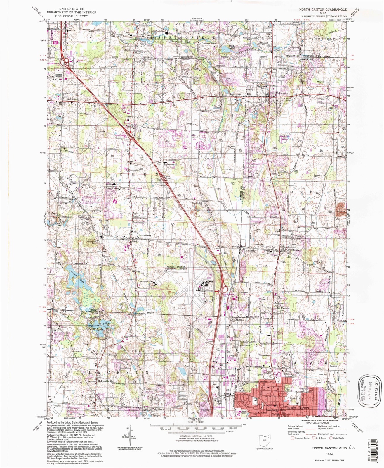
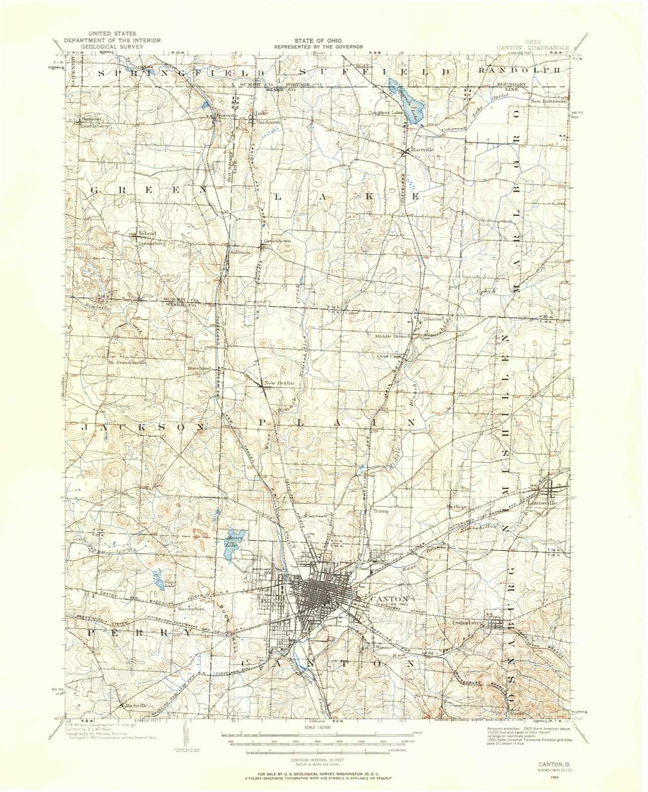
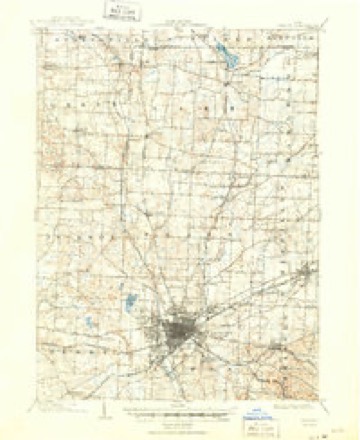
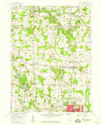
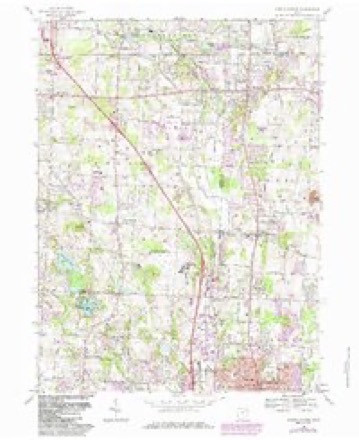
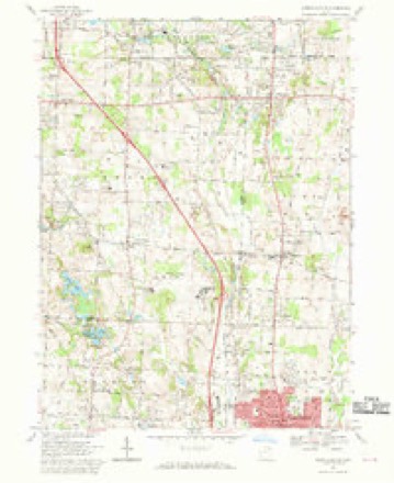
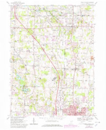
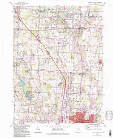
17 topographic sheets cover this place, the earliest surveyed in 1901 and the latest in 1994. It stands in Green City. It lies in ZIP code area 44685. The Survey maps it on the North Canton quadrangle.
Then and now
1901 to 1994The same ground, surveyed 93 years apart. Drag the handle to wipe between them. Both sheets are United States Geological Survey originals; neither has been altered.
Topographic sheets covering this place
17 sheetsMatched by testing this settlement's coordinate against the published boundary of every sheet in the United States Geological Survey's historical collection. Each opens the scanned sheet at the Survey.
- 1901 USGS Canton quadrangle1:62500
- 1903 USGS Canton quadrangle1:62500
- 1903 USGS Canton quadrangle1:62500
- 1951 USGS Canton quadrangle1:250000
- 1953 USGS Canton quadrangle1:250000
- 1957 USGS Canton quadrangle1:250000
- 1957 USGS Canton quadrangle1:250000
- 1957 USGS Canton quadrangle1:250000
- 1958 USGS North Canton quadrangle1:24000
- 1962 USGS Canton quadrangle1:250000
- 1962 USGS Canton quadrangle1:250000
- 1967 USGS North Canton quadrangle1:24000
- 1967 USGS North Canton quadrangle1:24000
- 1967 USGS North Canton quadrangle1:24000
- 1986 USGS Canton quadrangle1:100000
- 1986 USGS Canton quadrangle1:100000
- 1994 USGS North Canton quadrangle1:24000







What happened here
An account from the chapter on Green city, The inset identifies its exact source book and publication year.
Chapter Xxxviii Enterprise, Etc
HUDSON THE PIONEER TOWNSHIP OF SUMMIT COUNTY--LONG AND PERILOUS JOURNEY - ' HOME AT LAST," JUNE, 1779 - EARLY PRIVATIONS - FIRST PUBLIC THANKSGIVING- PATRIOTIC CELEBRATION, JULY 4, 1800 - VITAL STATISTICS -WONDERFUL LONGEVITY OF EARLY SETTLERS - ORGANIZATION OF TOWNSHIP - INDIAN AND WILD BEAST EX PERIENCES--RELIGION, CHURCHES, ETC. - EDUCATIONAL MATTERS--WESTERN RESERVE COLLEGE, ITS RISE, PROGRESS AND DECLINE - HUDSON'S PAST AND PRESENT BUSINESS STATUS ~-MILITARY OPERATIONS - SPLENDID CIVIL RECORD - CRIMINAL MATTERS - THE MALONEY-STEPLETON HOMICIDE - EXCITEMENT AMONG THE PEOPLE - PURSUIT AND CAPTURE OF THE MURDERER- - TRIAL, LIFE SENTENCE, PARDON, SUBSEQUENT LIFE, ETC. - HUDSON'S PUBLIC SPIRIT, RAILROAD ENTERPRISE, ETC.
In the county-history sources
219,890 words on this townshipHistory of Summit County, with an Outline Sketch of Ohio, published 1881 names this settlement in its chapter on Green City. These are the passages that mention it, exactly as the scans read.
For many years previous to the settlement of Ohio by the whites. Green Township must have been a fiivorite resort of the aboriginal race which then inhabited the State, for in the early day, man}' remains of their handiwork were found. Gen. Bierce says : " The northwest quarter of Section 25, on land purchased by Cornelius Johnston of the United States in 1813, appears to have been a favorite huntingground of the Indians, as arrow-heads, hatchets, skinning knives and other implements have i been found there in great abundance. From ' the numerous flint chips found on that quarter j of the section, it would seem to have been a : place for manufacturing their stone hatchets I and arrow-heads. Where they found the stone is unknown. This spot seems to have been se- ! lected on account of its being light-timbered, clear from underbrush, and elevated a little above the surrounding lands. Scattered over ; this elevated plateau were found piles of stones, varying in size from a man's fist to his head, and arranged in heaps of from four to six feet to a little larger or smaller. Tradition assigns i to them the honor of holding the ashes of some ! warrior or chief, but as no bones or human remains have ever been found in them, I am inclined to think them altars, on which they sacrificed to their gods, and the spirits of their departed braves. Among all the tribes sacrifices were common. Tradition saj-s that one of the early settlers in Green attempted to desecrate one of the altars, but after throwing down three or four feet of it, and when he was, as he supposed, about to accomplish his object, he was seized with a supernatural fear, and abandoned the enterprise." Previous to the war of 1812, Indians were quite plenty in the township, but as they sided with the British the}' were compelled by the white settlers to leave, and since then an Indian has rarely been seen within the limits of Green. Man}' families who located after the war declare the red men had all left when they came from Pennsylvania. The remains of their old forts and wigwams were seen as late as 1855, according to Gen. Bierce, at the head-waters of the Nimishilla, on Sections 36 and 25. They also occupied several camps near Turkey Foot Lake, and what is now the reservoir, in 1809, when the Kepler family first located in the township. " Among the celebrated Indians who used this township for a hunting-ground was a chief called by the whites ' Beaver Hat.' He had a settlement at what is how the south part of the village of Wooster, where the Baptist burying-ground now is. His Indian name was Paupellnan, and his settlement he called ' Apple Chanquecake,' or apple orchard. He was a bitter enemy of the whites, and, when drunk, he would take out a string with thirteen white men's tongues on it, dried, and exhibit them with much pride. One day he got out his string of tongues, and began to shake them, when George Harter took his rifle and started after him, sa3ing he would go and kill a buck. The report of a rifle was soon after heard, but he brought back no game, nor was Beaver Hat ever heard of more." - Bierce. Harter lived immediately south of Section 16 land for a few years at an early day. Most of the original permanent white settlers of Green Township were Pennsylvania Dutch and their descendants, and the cast and tone of morals and society still retain a decidedl}' German character. The citizens are honest, frugal, industrious and wealth}'. Although the dialect of the Pennsj-lvania Dutch is to a great extent the medium of communication between the residents of the township, it is seldom an inhabitant is found who cannot understand when asked a question in English, and these exeepik^ tional cases are generally the aged and infirm. Many of the early settlers and their children refused to adopt the advanced ideas and new improvements advocated by the genius of the most progressive nation known to history, and many of these old fellows died still clinging to their old notions of the past, but occasionally one still living and blessed with wealth will declai'e how little he cares for those glories of the nation as shown by mighty works of architectural grandeur ; and this poor mortal will expect you to accord to him a meed of praise and make a virtue of his ignorance. But the descendants of these men have, by mingling with a different race, caught the spirit of progress which will in future years bring forth a rich harvest, for by uniting to the bone and muscle the industry and frugalit}- of the German, the refinement and progressive spirit of the Yankee, a generation will be born in Green that will i-ank with the best bone, muscle and mind of the country.
Passage source: History of Summit County, with an Outline Sketch of Ohio, published 1881.
Since the settlement of Green Township, three villages have been laid out within its borders ; these are Greensburg, East Liberty and Myersville. Greensburg, the oldest of these, was surveyed August 27, 1828, by David Baer, on land belonging to Abraham Wilhelm. This village is located on the southwest part of the northeast quarter of Section 27 ; it lies considerabl}^ south and a little east of the township's center. A short time after the village plat was first made and recorded, Wilhelm decided not to establish a town on his land, but, after several years, the village was permanently located. The place contained only six or eight houses for many years. The tax duplicate of 1846 shows that it then had onl}' ten frame houses, although the plat contained at that time Mtythree lots. When Greensburg Seminary was established, it received a " boom," and a movement was made to have the place incorporated, but it is said objection was raised to this by some who were afraid their cows would not then be permitted to graze on the streets, and the movement was squelched. Among the earl}^ business of the burg and vicinity were the following establishments : Wilhelm kept an inn a short distance south previous to 1820 ; he also had a stopping-place for the old stage line which ran from Massillon to Middlebury, but this four-horse stage was only run a short time over this route and then changed to a road running through Manchester and Canal Fulton. One of the Wilhelms had a distillery just south of the village, previous to 1820, and, after it was discontinued, a Mr. Moulton ran a chairfactory in the same building. John Shick started the first store, about 1836, and also kept the first hotel ; he ran this latter establishment five or six years, and it was finally destroyed by fire ; another was built on the same site, which was run by Benjamin Seiss for about ten years ; it passed through several hands and is now owned bj' Peter Thornton and run by Jerry Garmon. The present landlord enlisted in 1861 in the Union army, and served faithfully during the war ; he then joined the regular army for several years. Jacob Garmon, his father, put up a hotel on the northwest corner, previous to 1840, and this building was also destroyed by fii'e. John Hunsberger started his mercantile establishment in the village about 1838 ; he was appointed first Postmaster of the place under Van Buren's administration ; when he settled in the village, there were only six houses ; these were two hotels, one pump-factory, Hunsberger's residence, and a wagon-shop, which was run b}' George E. Smith for many years. The pump-maker, Peter Weidman, remained about ten years. About 1840, the first schoolhouse was built in the village ; previous to this the scholars went to school about one mile south. Harry Raefsnider started a tan3^ard south of the village previous to 1838, but quit after a few years ; then another was established nearer Greensburg by Jacob Kauffman ; this was afterward sold to John Hunsberger, who transferred it to I. W. France. The first blacksmithshop was owned by Lewis Denious, and John Wetzel built the first saw-mill. Some thirty years since, a brickyard was established b3^Adam Leopard. Daniel Bender commenced manufacturing and repairing harness as early as 1843.
Passage source: History of Summit County, with an Outline Sketch of Ohio, published 1881.
Myersville, which is destined in the near future to be the most important village of Green Township, was surveyed by Jacob Mishler on the land of J. B. Myers. The plat has not yet been recorded by Mr. M3'ers. The first house was built by Moses Kroft in the summer of 1876. The next year William Miller erected one, and Curt. Brause and James Rilej^ started the saw-mill. A storeroom was built and Edward Steese opened out a stock of goods, and afterward sold out to William Sweeten, who continued the business from April, 1880, to February, 1881, when he removed to East Liberty. The warehouse was erected b}^ Edward Steese in the summer and fall of 1879 ; it is now leased by Hunsberger & Shick ; the first grain was purchased March 17, 1880. The construction train of the Valley road first passed over the Uniontown public Road at Myersville Station August 4, 1879, at 10:15 A. M.
Passage source: History of Summit County, with an Outline Sketch of Ohio, published 1881.
Machine-read from a century-old scan, so expect the errors a machine makes: misspelled names, dropped words, stray characters.
Specimens collected near this place
12 of 387 shownRegional context, not property-specific evidence. Museums hold 387 specimens collected within 10 miles of Myersville between 1867 and 1975: 307 Animalia, 40 Fungi, 38 Plantae, 1 Unrecorded, 1 Bacteria. 12 distinct Species records are shown. Collected by (no collector listed), A. W. Cusick, A.E. Daugherty and others. Each is a physical object with a catalogue number, and each entry opens the museum's record. This is what was collected and kept, not a survey of what lives here - nothing can be concluded from a species being absent.
| Image | Species | Year | Collected by | Where, as recorded |
|---|---|---|---|---|
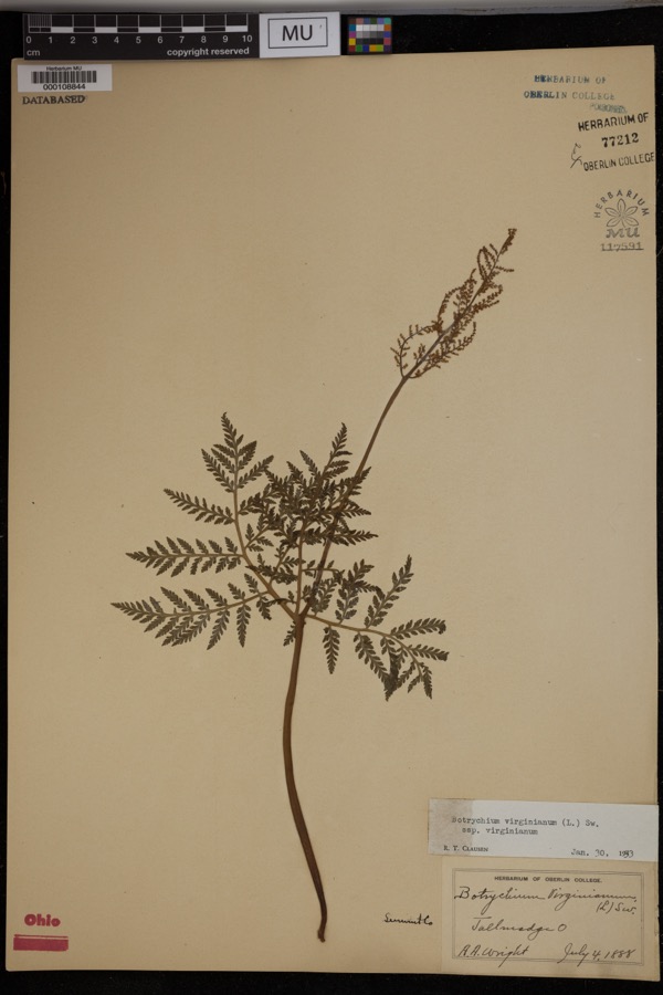 | Botrychium virginianum subsp. virginianum | 1888 | Wright, A.A. | Tallmadge. |
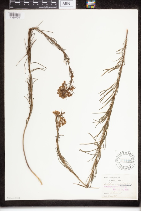 | Asclepias verticillata L. | 1889 | not recorded | Akron |
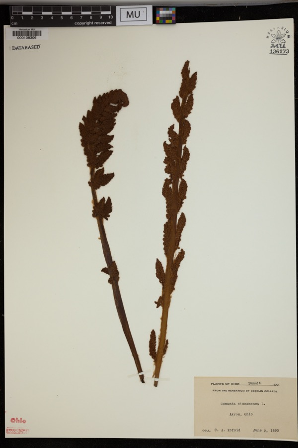 | Osmunda cinnamomea L. | 1890 | Kofoid, C.A. | Akron. |
 | Accipiter striatus velox (A.Wilson, 1812) | 1867 | Collector(s): James Lee Peters | Akron |
 | Dryopteris carthusiana (Vill.) H.P.Fuchs | 1880 | F. O. Payne | Akron |
 | Geum aleppicum Jacq. | 1887 | Elliott | Greensburg |
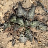 | Geum canadense Jacq. | 1887 | Elliott | Greensburg |
 | Hydrastis canadensis L. | 1888 | E.L. Sturtevant II | |
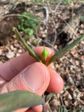 | Lonicera dioica L. | 1888 | K. O. Foltz | |
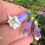 | Penstemon hirsutus (L.) Willd. | 1888 | K. O. Foltz | |
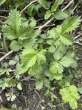 | Agrimonia gryposepala Wallr. | 1889 | Elliott | Greensburg |
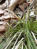 | Carex pensylvanica Lam. | 1889 | Foltz, K.O. | Akron |
All 387 specimens within 10 miles, at the Global Biodiversity Information Facility.
Mines and quarries near this place
10 of 12 shownRegional context, not property-specific evidence. The federal mineral resources record lists 12 workings within 5 miles of Myersville: 7 past producers, 3 producers, 2 plants. 5 still produce. What was taken out: Sand and Gravel, Construction, Stone, Crushed/Broken, Clay, Coal. Distance is straight-line from the map coordinates, so a quarry counted here may appear on a neighbouring settlement's page as well.
| Where | Site | Commodity | Status | Recorded |
|---|---|---|---|---|
| Carbon Limestone Company Quarry | Stone, Crushed/Broken, Clay, Coal | Producer | ||
| Greensburg Pit | Sand and Gravel, Construction | Producer | ||
| Hammond Brothers Gravel Pit | Sand and Gravel, Construction | Past Producer | Sedimentary | |
| Hammond Brothers Gravel Pit | Sand and Gravel, Construction | Producer | ||
| Knight Plant | Sand and Gravel, Construction | Past Producer | Sedimentary | |
| Knight Plant & Pit | Sand and Gravel, Construction | Plant | ||
| Martz Pit | Sand and Gravel, Construction | Past Producer | Sedimentary | |
| Martz Pit | Sand and Gravel, Construction | Past Producer | ||
| Portage Lakes Pit Number 2 | Sand and Gravel, Construction | Past Producer | Sedimentary | |
| Portage Lakes Pit Number 2 & Plant | Sand and Gravel, Construction | Plant |
Storms near this place
2 since 1999Regional context, not property-specific evidence. The National Weather Service names Myersville in 2 storm reports between 1999 and 2021: 2 thunderstorm wind. No death or injury is recorded in these reports. Each account below is quoted exactly as the forecast office filed it, from the NOAA Storm Events Database, and each date opens the federal record of that event.
| When | Event | Place named | Harm | What the report says |
|---|---|---|---|---|
| July 1999 | Thunderstorm Wind | Myersville | $10,000 | Many trees and power lines downed. |
| August 2021 | Thunderstorm Wind | Myersville | - | Trees damaged at Ohio Prestwick Country Club in Uniontown area. |
Nearest settlements
The eight closest, with where each one stands in the county. Distances are straight-line, computed from the Geographic Names Information System coordinates.
| Map | Place | Distance | Sheets |
|---|---|---|---|
| Lakes Of Green | 0.4 miles | 17 | |
| Mystic Pointe | 0.4 miles | 17 | |
| McChesney Meadows | 0.5 miles | 17 | |
| Kungle Heights | 0.6 miles | 17 | |
| Arcadian Heights | 0.7 miles | 17 | |
| Kimberly Valley | 0.7 miles | 17 | |
| Lawnfield Estates | 0.8 miles | 17 | |
| McChesney Acres | 0.8 miles | 17 |
Provenance
This settlement is recorded in the Geographic Names Information System as feature 1065090. The sheet list is computed by point-in-boundary test against the United States Geological Survey's historical topographic inventory. Both are works of the United States government and carry no copyright under 17 U.S.C. 105.
Specimens. Global Biodiversity Information Facility (GBIF), https://www.gbif.org/. Only records licensed CC0 or CC BY are used. Records licensed CC BY-NC are excluded because this site carries advertising. Images are checked individually and any whose licence is non-commercial, no-derivatives or unreadable is refused.
Mines and quarries. USGS Mineral Resources Data System (MRDS) https://mrdata.usgs.gov/mrds/ A work of the United States government, no copyright under 17 U.S.C. 105.
Storms. NOAA National Centers for Environmental Information, Storm Events Database https://www.ncei.noaa.gov/stormevents/ A work of the United States government, no copyright under 17 U.S.C. 105. Narratives are quoted verbatim from the National Weather Service report and are not edited or summarised.