 Block
Nebraska, Ohio
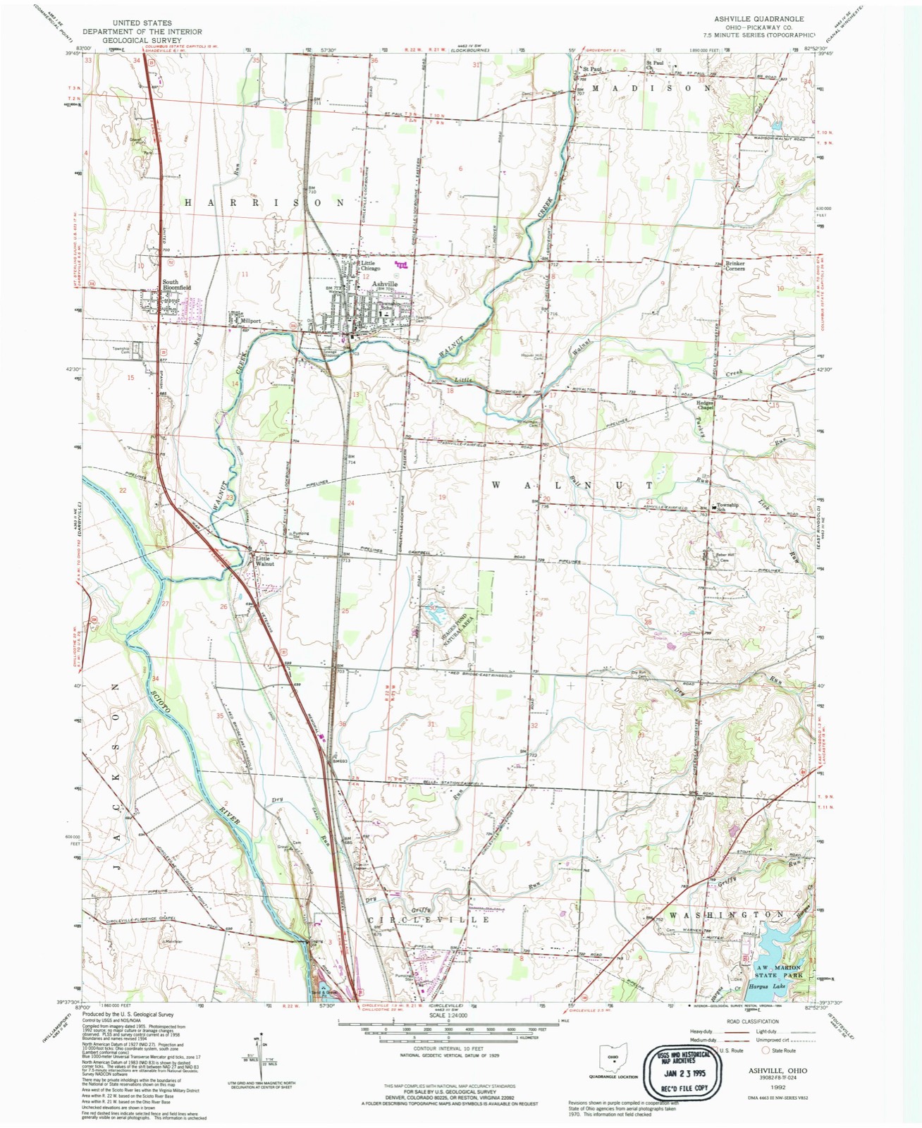
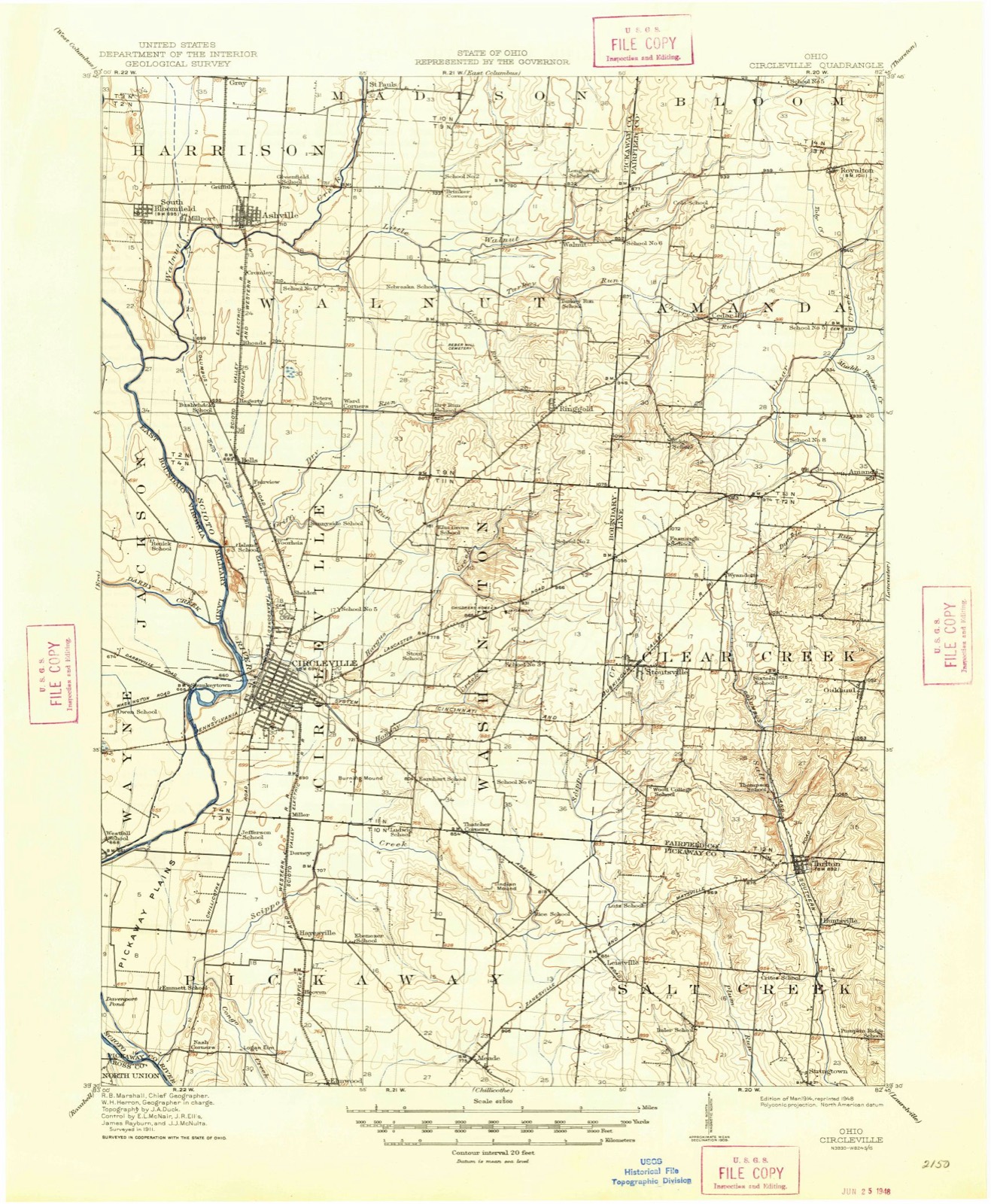
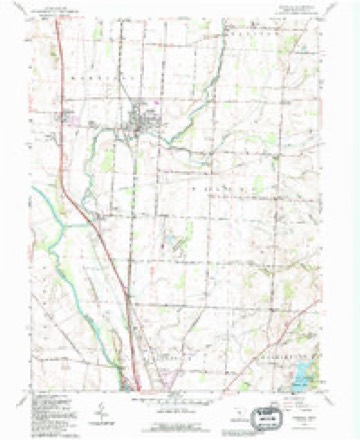
11 topographic sheets cover this place, the earliest surveyed in 1914 and the latest in 1992. It stands in Walnut Township. It lies in ZIP code area 43103. It stands on Lick Run. The Survey maps it on the Ashville quadrangle. The federal gazetteer marks this settlement historical: it is no longer a populated place, though the surveys that recorded it still are.
Then and now
1914 to 1992The same ground, surveyed 78 years apart. Drag the handle to wipe between them. Both sheets are United States Geological Survey originals; neither has been altered.
Compare 1914 against another survey:
Topographic sheets covering this place
9 surveys from 11 printed sheetsMatched by testing this settlement's coordinate against the published boundary of every sheet in the United States Geological Survey's historical collection. Each opens the scanned sheet at the Survey.
- 1914 USGS Circleville quadrangle1:62500
- 1943 USGS Circleville quadrangle1:62500
- 1947 USGS Columbus quadrangle1:250000
- 1958 USGS Ashville quadrangle1:24000, 2 printings
- 1961 USGS Columbus quadrangle1:250000
- 1962 USGS Columbus quadrangle1:250000
- 1967 USGS Columbus quadrangle1:250000, 2 printings
- 1984 USGS Lancaster quadrangle1:100000
- 1992 USGS Ashville quadrangle1:24000
In the county-history sources
8,437 words on this townshipHistory of Pickaway County, Ohio and Representative Citizens, published 1906 names this settlement in its chapter on Walnut Township. These are the passages that mention it, exactly as the scans read.
In 1842 a German Reformed clergyman by the name of Strickland, after conducting services in the township, organized a society and then returned East. He was followed by a minister named Phillips, during whose labors the North Union -Church was built, in 1S44-. It was erected by the people generally, without, respect to denomination, and ministers of different faiths officiated in its pulpit. In thespring of 1851 a United Brethren class was formed and used the church for a number of years. The church, which is a frame structure., is located two and a half miles north of Nebraska and is rapidly falling to pieces. Near the church is a small burial-ground, which is not now in use.
Passage source: History of Pickaway County, Ohio and Representative Citizens, published 1906.
Located near the center of Walnut township, half a mile south of Nebraska, is considered the finest cemetery in Pickaway County, with, perhaps, the sole exception of Forest Cemetery, at Circleville. The first person buried here was William Parsons, who died July 4, 1877, and the second person was Samuel Weaver (son of D. F. Weaver), who was buried on Christmas Day, 1877. The cemetery was formally consecrated on September 29, 1878, by Rev. William MacMillan, pastor of the Presbyterian Church at Circleville. The cemetery, embracing a tract of 32 acres, which was donated by John Rcber, has been laid out and improved with excellent taste. It is managed by three cemetery directors - John Courtright, George W. Ashbrook and J. L. Hoover - appointed by the township trustees. It is estimated that the remains of 2,500 people rest here. Not a small number were removed to this cemetery from the small burial grounds formerly found in many sections of Walnut and adjoining townships. The first sexton, George Adkins, held the position for 20 years, being succeeded by George C. Marion, who was sexton one year. The present official, Charles Trone, has been in charge ever since. The sexton's house was built by money raised by subscription from residents of the township.
Passage source: History of Pickaway County, Ohio and Representative Citizens, published 1906.
Was organized on June 16, 1873, with a membership of 23. John Courtright wras the first master, John M. Spindler, secretary and Ezra Hedges, treasurer. At the present time, John Courtright is master, Grace Courtright, secretary, and John M. Sark, treasurer. The Grange has about 100 members and meets every second Saturday. Every year an annual picnic or outing is indulged in, which is largely attended, as many as 1,000 people being present. The Grange has for its object the improvement of agricultural conditions and the adoption of better farmings methods. At its meetings the Grange has secret ritualistic work and also discussions of farm topics. In 1874 Nebraska Grange built a hall in the second story of 1). F. Weaver & Son's building at Nebraska, which cost $1,250.
Passage source: History of Pickaway County, Ohio and Representative Citizens, published 1906.
Machine-read from a century-old scan, so expect the errors a machine makes: misspelled names, dropped words, stray characters.
Read the whole chapter on Walnut Township - it names this place 3 more 3 times.
Fires near this place
1 since 2009Regional context, not property-specific evidence. The federal wildfire occurrence database lists 1 fire within 5 miles of Nebraska (historical) in 2009, burning under an acre in total. None started naturally. None was recorded as arson. Distance is straight-line from the map coordinates, so a fire counted here may appear on a neighbouring settlement's page as well.
| Reported cause | Fires |
|---|---|
| Recreation and ceremony | 1 |
The most recent of them, most recent first, with the day each was reported and the service that recorded it.
| Date | Cause | Size | Reported by | Name on the report |
|---|---|---|---|---|
| 21 March 2009 | Recreation and ceremony | under an acre | Ohio Department of Natural Resources | not named |
Settlements close enough to share some of these fires:
Specimens collected near this place
12 of 2,533 shownRegional context, not property-specific evidence. Museums hold 2,533 specimens collected within 10 miles of Nebraska (historical) between 1829 and 1975: 2,333 Animalia, 148 Fungi, 49 Plantae, 2 Unrecorded, 1 Protozoa. 12 distinct Species records are shown. Collected by A. Spreitzer, A. White, M. Trautman, T. Cavender, Acker, G. & Class and others. Each is a physical object with a catalogue number, and each entry opens the museum's record. This is what was collected and kept, not a survey of what lives here - nothing can be concluded from a species being absent.
| Image | Species | Year | Collected by | Where, as recorded |
|---|---|---|---|---|
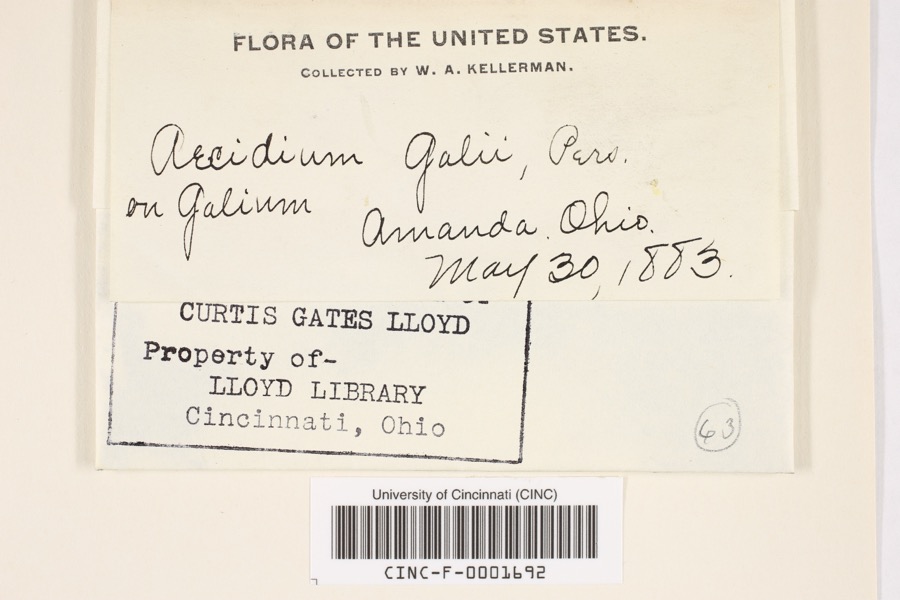 | Aecidium galii Pers. | 1883 | Kellerman, W.A. | Amanda |
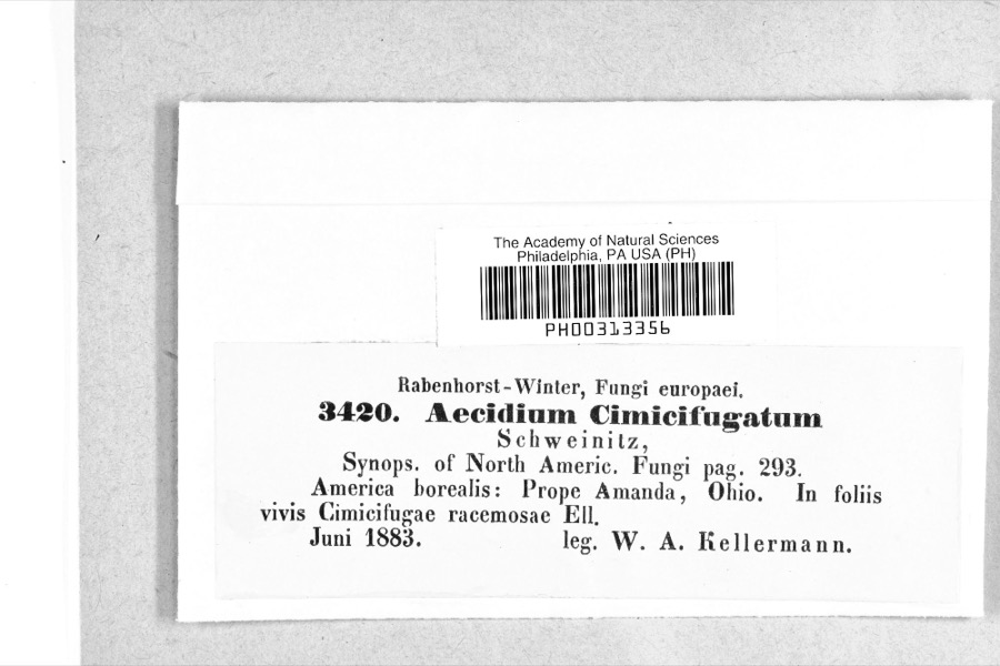 | Caeoma cimicifugatum Schwein. | 1883 | W. A. Kellerman | Amanda |
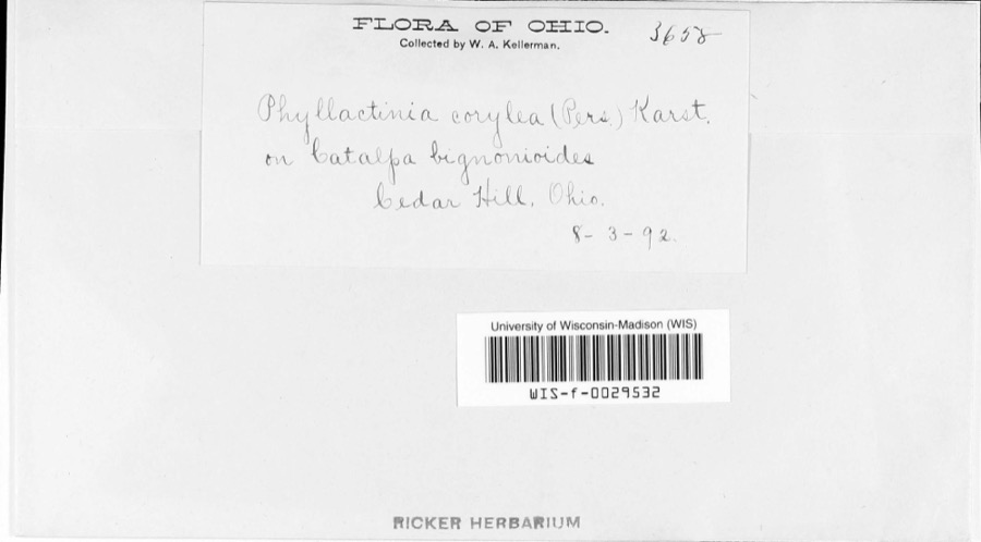 | Phyllactinia corylea (Pers.) P.Karst. | 1892 | W.A. Kellerman | |
 | Rallus elegans elegans Audubon, 1834 | 1829 | Florence, A. (Arledge) | Col Anderson farm 6 1/2 mi west of Circleville, Pickaway, Ohio, USA |
 | Caprimulgus vociferus vociferus A.Wilson, 1812 | 1876 | Jones, H. (Howard) | Darby Creek, Circleville, Pickaway, Ohio, USA |
 | Lanius ludovicianus migrans W.Palmer, 1898 | 1877 | Jones, H. (Howard) | Goose Pond, near Circleville, Pickaway, Ohio, USA |
 | Hirundo rustica erythrogaster Boddaert, 1783 | 1879 | Jones, H. (Howard) | near Circleville, Pickaway, Ohio, USA |
 | Bartramia longicauda (Bechstein, 1812) | 1880 | Jones, H. (Howard) | near Circleville, Pickaway, Ohio, USA |
 | Bartramia pomiformis F.Weber & D.Mohr | 1880 | W. Kellerman | |
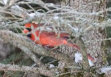 | Cardinalis cardinalis (Linnaeus, 1758) | 1880 | Mearns, E.A. | Circleville near Scioto River. |
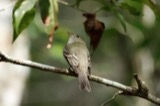 | Empidonax virescens (Vieillot, 1818) | 1880 | Jones, H. (Howard) | Niles Woods, near Circleville, Pickaway Co., Ohio |
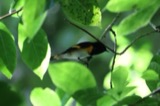 | Setophaga ruticilla (Linnaeus, 1758) | 1880 | Jones, H. (Howard) | near Circleville, Pickaway, Ohio, USA |
All 2,533 specimens within 10 miles, at the Global Biodiversity Information Facility.
Mines and quarries near this place
1 within 5 milesRegional context, not property-specific evidence. The federal mineral resources record lists 1 working within 5 miles of Nebraska (historical): 1 past producer. None of them still produces. What was taken out: Sand and Gravel, Construction. Distance is straight-line from the map coordinates, so a quarry counted here may appear on a neighbouring settlement's page as well.
| Where | Site | Commodity | Status | Recorded |
|---|---|---|---|---|
| Raleigh Spradlin Sand & Gravel Pit | Sand and Gravel, Construction | Past Producer | Sedimentary |
Nearest settlements
The eight closest, with where each one stands in the county. Distances are straight-line, computed from the Geographic Names Information System coordinates.
| Map | Place | Distance | Sheets |
|---|---|---|---|
| Walnut | 2.2 miles | 12 | |
| East Ringgold | 2.9 miles | 12 | |
| Saint Paul | 3.2 miles | 11 | |
| Cromley (historical) | 3.3 miles | 11 | |
| Ashville | 3.3 miles | 11 | |
| Little Chicago | 3.4 miles | 11 | |
| Brandon Court | 3.5 miles | 11 | |
| Suburban Village | 3.6 miles | 11 |
Provenance
This settlement is recorded in the Geographic Names Information System as feature 1067176. The sheet list is computed by point-in-boundary test against the United States Geological Survey's historical topographic inventory. Both are works of the United States government and carry no copyright under 17 U.S.C. 105.
Wildfire. Short, Karen C. 2022. Spatial wildfire occurrence data for the United States, 1992-2020 [FPA_FOD_20221014]. 6th Edition. Fort Collins, CO: Forest Service Research Data Archive. https://doi.org/10.2737/RDS-2013-0009.6 Collected with United States Government funding and usable without additional permissions or fees.
Specimens. Global Biodiversity Information Facility (GBIF), https://www.gbif.org/. Only records licensed CC0 or CC BY are used. Records licensed CC BY-NC are excluded because this site carries advertising. Images are checked individually and any whose licence is non-commercial, no-derivatives or unreadable is refused.
Mines and quarries. USGS Mineral Resources Data System (MRDS) https://mrdata.usgs.gov/mrds/ A work of the United States government, no copyright under 17 U.S.C. 105.