 Block
New California, Ohio
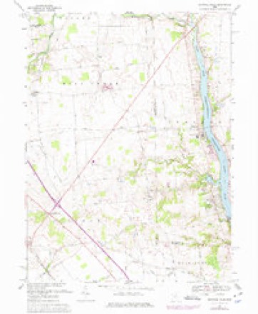
15 topographic sheets cover this place, the earliest surveyed in 1901 and the latest in 1992. It stands in Jerome Township. It lies in ZIP code area 43064. The Survey maps it on the Shawnee Hills quadrangle. 2,225 people lived here at the 2020 count. It stands 997 feet above sea level.
Then and now
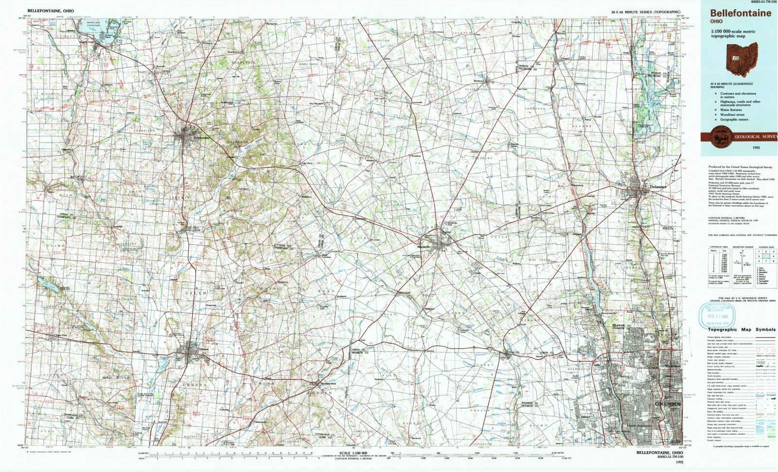
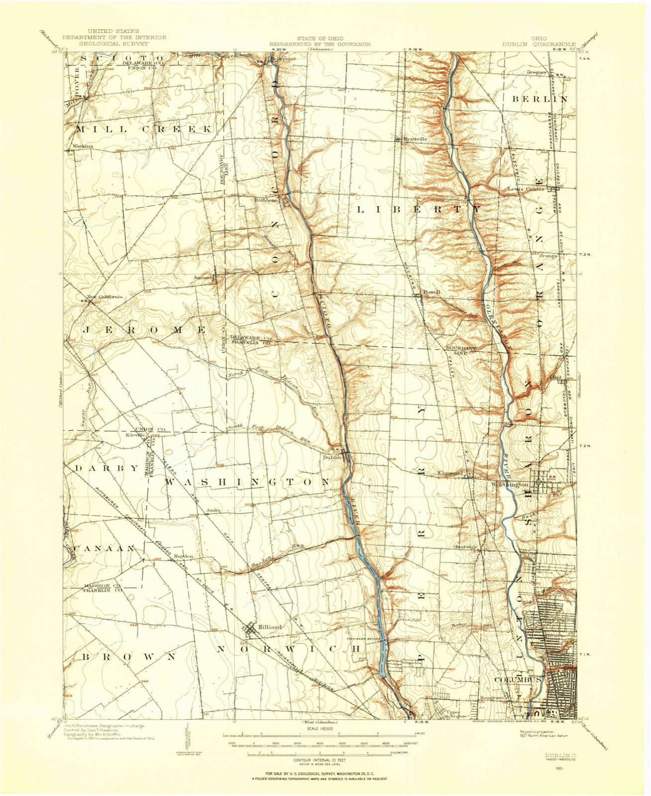
1901 to 1992The same ground, surveyed 91 years apart. Drag the handle to wipe between them. Both sheets are United States Geological Survey originals; neither has been altered.
Population over time
2 figuresNew California grew from 1,411 to 2,225 between 2010 and 2020. These are the recorded population figures Wikidata holds for this place, reached through the Geographic Names Information System number this page is keyed on rather than by name, so they belong to this place and not to another of the same name. Most are census counts, but not all are: an early figure may be a founding or settlement estimate, and an estimate published within five years of a census is left out. The change column is computed, and is left blank where more than 20 years separate a figure from the one before it, because a gap that long is not a change between two counts.
| Year | People | Change |
|---|---|---|
| 2010 | 1,411 | |
| 2020 | 2,225 | +814 (+58%) |
Topographic sheets covering this place
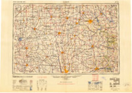
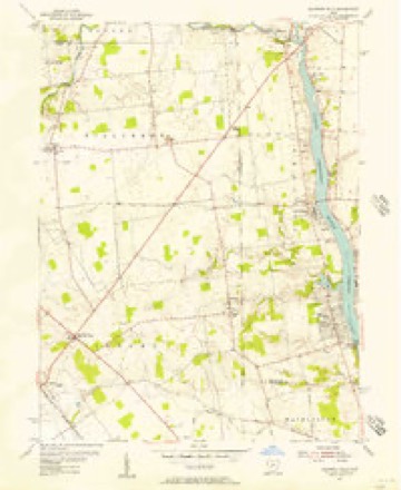
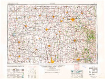
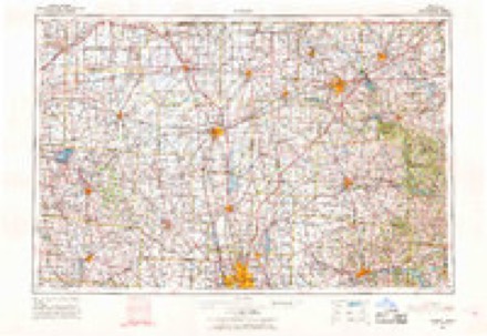
9 surveys from 15 printed sheetsMatched by testing this settlement's coordinate against the published boundary of every sheet in the United States Geological Survey's historical collection. Each opens the scanned sheet at the Survey.
- 1901 USGS Dublin quadrangle1:62500
- 1903 USGS Dublin quadrangle1:62500, 2 printings
- 1950 USGS Marion quadrangle1:250000
- 1954 USGS Shawnee Hills quadrangle1:24000
- 1962 USGS Marion quadrangle1:250000
- 1966 USGS Marion quadrangle1:250000, 3 printings
- 1967 USGS Shawnee Hills quadrangle1:24000, 4 printings
- 1986 USGS Bellefontaine quadrangle1:100000
- 1992 USGS Bellefontaine quadrangle1:100000
In the county-history sources
90,705 words on this townshipThe History of Union County, Ohio, Containing a History of the County; Its Townships, Towns ... Military Record;, published 1883 names this settlement in its chapter on Jerome Township. These are the passages that mention it, exactly as the scans read.
James Ewing, was one of the best and foremost citizeLs of Union County during the first thirty years of its existence. His old homestead in Jerome was in Survey 12,125, where he lived to the time of his death. He was elected and served as the first Sheriff of Union County. In religious belief, he was a Presbyterian and a firm member, and for many years a Ruling Elder of Lower Liberty Church. In politics, he was an unflinching Whig. In 1810, Mr. Ewing purchased a stock of goods at Chillicothe, brought them to his farm and opened a country store, thereby becoming the first merchant in what is now Union County. Through his efforts, a post office was secured and he was appointed the first Postmaster. He operated the store for about ten years, and then withdrew for a time from mercantile business. In 1833, he erected a large frame store room adjoining his dwelling, and filled it with an extensive stock of goods. He continued in business this latter time only two years. In 1835, his younger son, David, to whom he was deeply attached, met with an untimely death just as he was entering upon a life of brilliant promise, and under his sense of loss Mr. Ewing retired permanently from business. He had been the possessor of some means when he came to Ohio, and by his stern, honorable business qualities he accumulated considerable property. He was one of the first trustees of the Franklin County Bank. He was scrupulously honest in all his dealings, and his word passed current for almost any amount. Small currency was very scarce, and in order to meet the demand for this kind of money and facilitate trade, he issued what was termed in those days " shin plasters," payable on demand. They were considered by the people as good as coin and were never dishonoi'ed by their maker. James Ewing possessed strong convictions and was always true to them. He lived in his little logcabin till the day of his death, which occurred August 26, 1850. It was too closely associated with his earliest struggles, when the country was wild and unoccupied, to be forsaken for the more modern spacious frame that stood by its side. He was married about 1807 to Elizabeth, daughter of Calvin Cary, of Madison County. Their children were several daxighters who died young, and two sons, Thomas M. and David C. The latter was an intelligent, promising young man, who graduated at South Hanover College, Indiana, in 1885, and was just entering upon the study of law. when he fell a victim of typhoid fever. Thomas M. was a well-known resident of Jerome.
Passage source: The History of Union County, Ohio, Containing a History of the County; Its Townships, Towns ... Military Record;, published 1883.
John McCune married Polly, daughter of Simeon Hager, and settled in Mad'ison County near Plain City. Afterward he removed to a farm in Jerome, on Sugar Eun, and lived there till his death. His children were Chauncey, of Illinois, David, John, Mrs. Jane Grreen and Mrs. Mary Green.
Passage source: The History of Union County, Ohio, Containing a History of the County; Its Townships, Towns ... Military Record;, published 1883.
Samuel McCullough was a son of Samuel McCullough, Sr., who died in Darby Township in ISOO. He lived with his mother, who married John Taylor, in Madison County, till he arrived at the age of maturity. He then purchased a small farm in the southwestern part of Jerome, where his son, John T., now resides, and there engaged in farming. He was industrious and constantly extended the limits of his property. He took pride in making his home pleasant and attractive, and died in a large and handsome residence, which he had erected a few years ago.
Passage source: The History of Union County, Ohio, Containing a History of the County; Its Townships, Towns ... Military Record;, published 1883.
Machine-read from a century-old scan, so expect the errors a machine makes: misspelled names, dropped words, stray characters.
Read the whole chapter on Jerome Township - it names this place 56 more 56 times.
Specimens collected near this place
12 of 287 shownRegional context, not property-specific evidence. Museums hold 287 specimens collected within 10 miles of New California between 1918 and 1975: 284 Animalia, 3 Fungi. 12 distinct Species records are shown. Collected by A. Spreitzer, A. Spreitzer & K. Borror, A. Spreitzer & W. LeGrande and others. Each is a physical object with a catalogue number, and each entry opens the museum's record. This is what was collected and kept, not a survey of what lives here - nothing can be concluded from a species being absent.
| Image | Species | Year | Collected by | Where, as recorded |
|---|---|---|---|---|
 | Empoasca fabae (Harris, 1841) | 1918 | H.T. Osborn | |
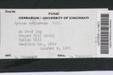 | Hydnum erinaceus Bull. | 1918 | Weir J. R. | Marysville |
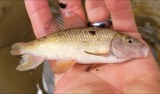 | Erimyzon oblongus claviformis (Girard, 1856) | 1928 | Trautman, M. B. (Milton Bernard) | Sugar Run, within Jerome township, near Plain City, Jerome township |
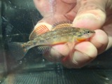 | Etheostoma spectabile (Agassiz, 1854) | 1928 | Trautman, M. B. (Milton Bernard) | Sugar Run, within Jerome township, near Plain City, Jerome township |
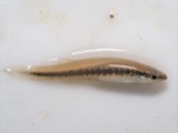 | Fundulus notatus (Rafinesque, 1820) | 1928 | Trautman, M. B. (Milton Bernard) | Sugar Run, within Jerome township, near Plain City, Jerome township |
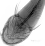 | Ictalurus melas (Linnaeus, 1758) | 1928 | Trautman, M. B. (Milton Bernard) | Sugar Run, within Jerome township, near Plain City, Jerome township |
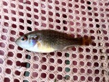 | Lepomis cyanellus Rafinesque, 1819 | 1928 | Trautman, M. B. (Milton Bernard) | Sugar Run, within Jerome township, near Plain City, Jerome township |
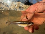 | Pimephales notatus (Rafinesque, 1820) | 1928 | Trautman, M. B. (Milton Bernard) | Sugar Run, within Jerome township, near Plain City, Jerome township |
 | Pimephales promelas promelas Rafinesque, 1820 | 1928 | Trautman, M. B. (Milton Bernard) | Sugar Run, within Jerome township, near Plain City, Jerome township |
 | Ameiurus melas (Rafinesque, 1820) | 1930 | MB Trautman | Buck Creek, N Union Township |
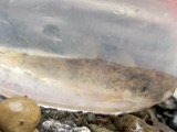 | Catostomus commersonnii commersonnii (Lacepède, 1803) | 1930 | MB Trautman | Buck Creek, N Union Township |
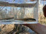 | Etheostoma nigrum Rafinesque, 1820 | 1930 | MB Trautman | Buck Creek, N Union Township |
All 287 specimens within 10 miles, at the Global Biodiversity Information Facility.
Mines and quarries near this place
1 within 5 milesRegional context, not property-specific evidence. The federal mineral resources record lists 1 working within 5 miles of New California: 1 producer. All of them still produce. What was taken out: Stone, Crushed/Broken. Distance is straight-line from the map coordinates, so a quarry counted here may appear on a neighbouring settlement's page as well.
| Where | Site | Commodity | Status | Recorded |
|---|---|---|---|---|
| Union Quarry | Stone, Crushed/Broken | Producer |
Storms near this place
5 since 2008Regional context, not property-specific evidence. The National Weather Service names New California in 5 storm reports between 2008 and 2026: 4 hail, 1 flood. No death or injury is recorded in these reports. Each account below is quoted exactly as the forecast office filed it, from the NOAA Storm Events Database, and each date opens the federal record of that event.
| When | Event | Place named | Harm | What the report says |
|---|---|---|---|---|
| June 2008 | Hail | New California | $1,000 | no account filed |
| March 2020 | Flood | New California | - | High water was reported near the intersection of Taylor Road and Industrial Parkway. |
| March 2026 | Hail | New California | - | no account filed |
| September 2019 | Hail | New California | - | no account filed |
| May 2018 | Hail | New California | - | no account filed |
Nearest settlements
The eight closest, with where each one stands in the county. Distances are straight-line, computed from the Geographic Names Information System coordinates.
| Map | Place | Distance | Sheets |
|---|---|---|---|
| Arnold | 1.2 miles | 12 | |
| Jerome | 3.3 miles | 15 | |
| Watkins | 3.9 miles | 15 | |
| Darby Meadows | 4.3 miles | 12 | |
| Dipple | 5.3 miles | 12 | |
| Unionville Center | 5.6 miles | 12 | |
| Buxton Meadows | 6.4 miles | 12 | |
| Mill Creek Estates | 6.4 miles | 12 |
Elsewhere
Matched on this settlement's Geographic Names Information System number rather than its name, so it cannot be a different place of the same name in another state.
| Wikipedia article on New California | An encyclopaedic summary. Its text is share-alike, so it is linked here rather than copied. |
| Wikidata item Q7006317 | The structured record the population and elevation above come from. Public domain (CC0). |
Provenance
This settlement is recorded in the Geographic Names Information System as feature 1043828. The sheet list is computed by point-in-boundary test against the United States Geological Survey's historical topographic inventory. Both are works of the United States government and carry no copyright under 17 U.S.C. 105.
Specimens. Global Biodiversity Information Facility (GBIF), https://www.gbif.org/. Only records licensed CC0 or CC BY are used. Records licensed CC BY-NC are excluded because this site carries advertising. Images are checked individually and any whose licence is non-commercial, no-derivatives or unreadable is refused.
Mines and quarries. USGS Mineral Resources Data System (MRDS) https://mrdata.usgs.gov/mrds/ A work of the United States government, no copyright under 17 U.S.C. 105.
Storms. NOAA National Centers for Environmental Information, Storm Events Database https://www.ncei.noaa.gov/stormevents/ A work of the United States government, no copyright under 17 U.S.C. 105. Narratives are quoted verbatim from the National Weather Service report and are not edited or summarised.