 Block
Block
New Cumberland, Ohio
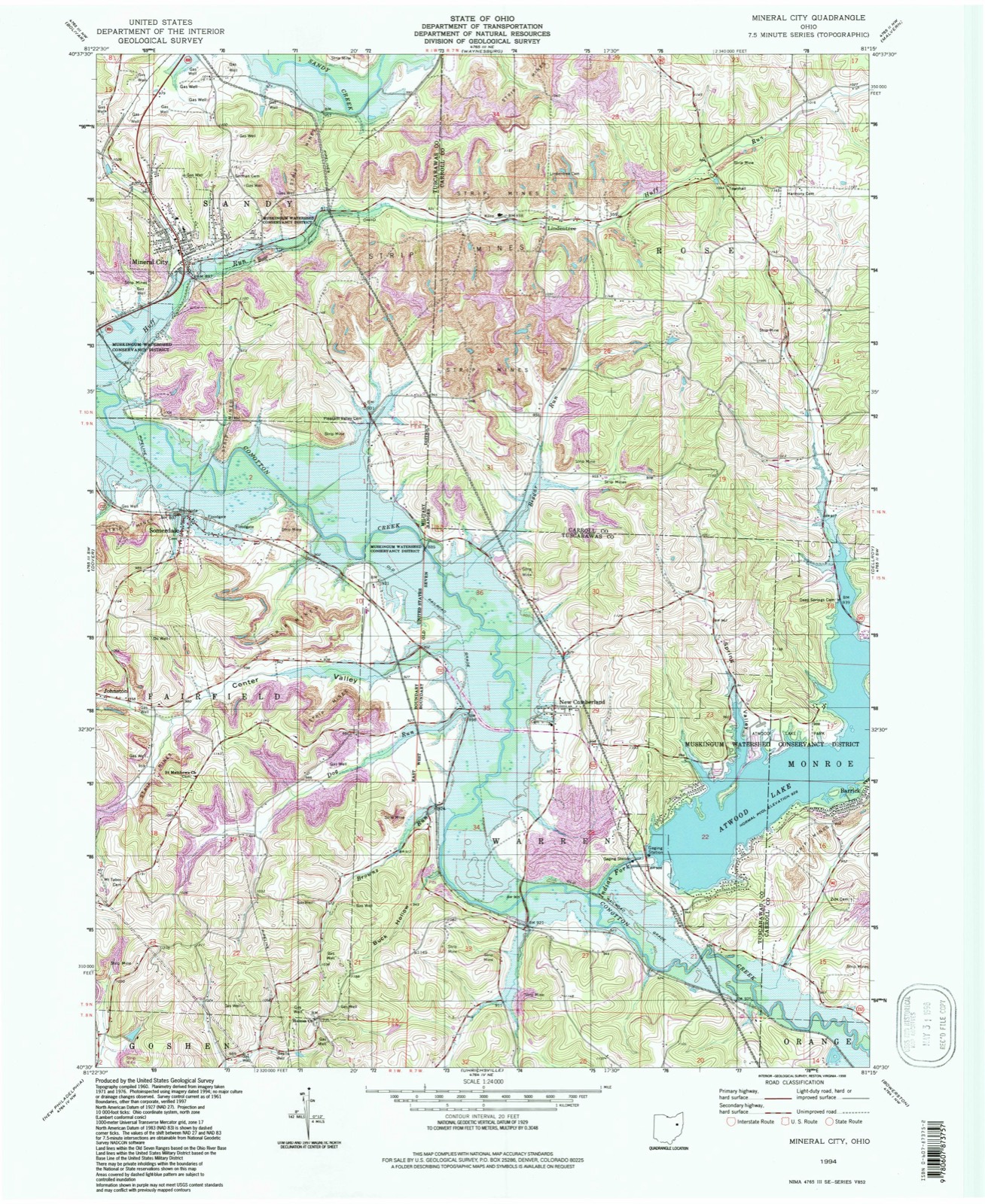
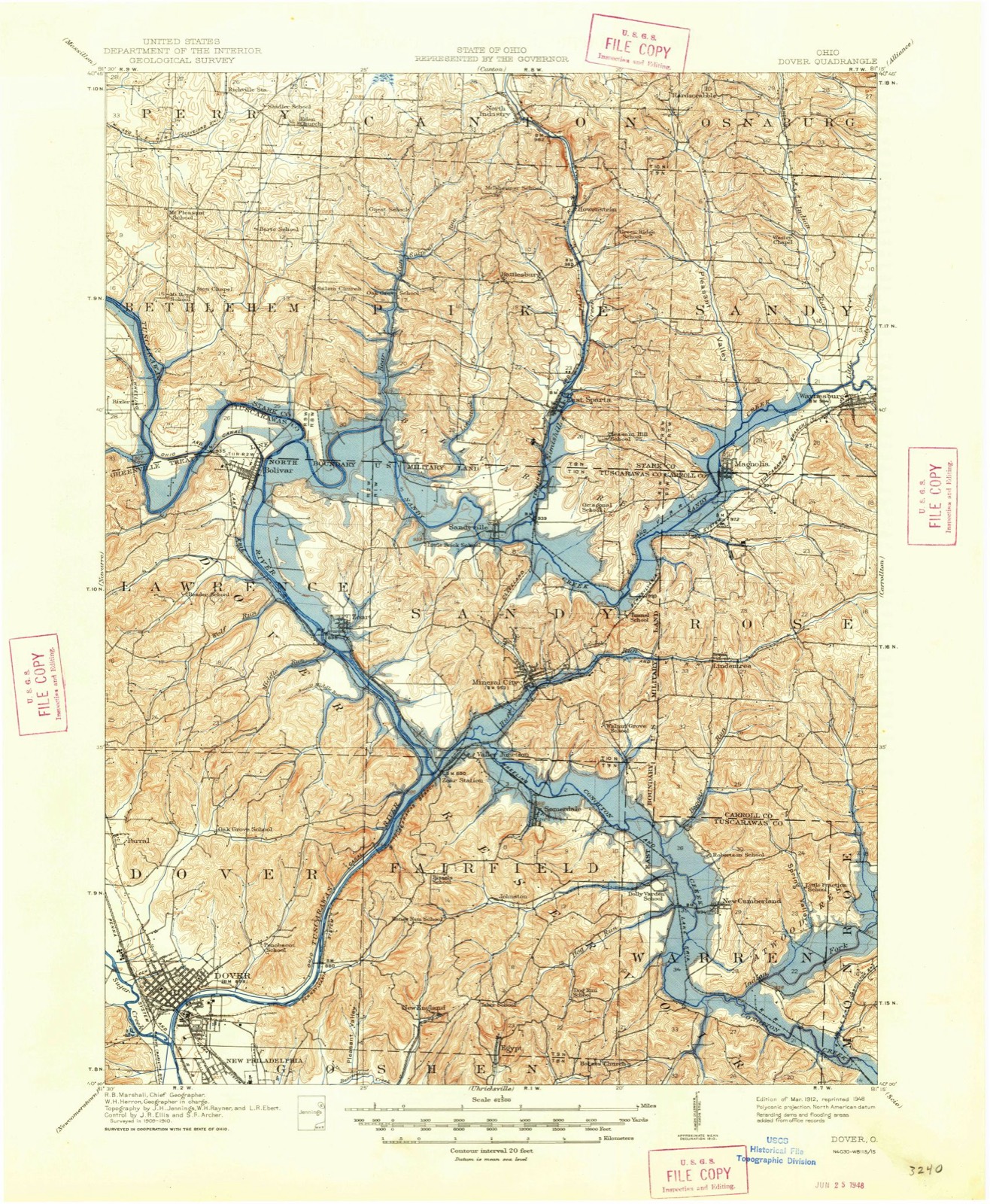
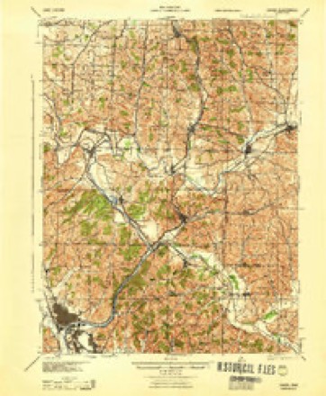
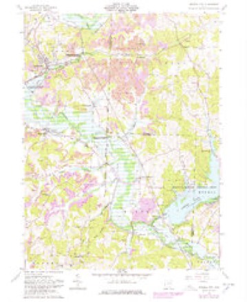
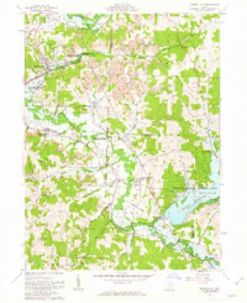
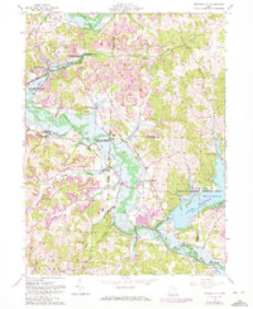
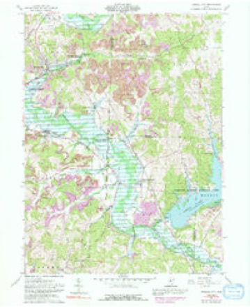
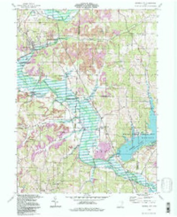
17 topographic sheets cover this place, the earliest surveyed in 1912 and the latest in 1994. It stands in Warren Township. It lies in ZIP code area 44656. It stands on Dog Run. The Survey maps it on the Mineral City quadrangle.
Then and now
1912 to 1994The same ground, surveyed 82 years apart. Drag the handle to wipe between them. Both sheets are United States Geological Survey originals; neither has been altered.
Topographic sheets covering this place
17 sheetsMatched by testing this settlement's coordinate against the published boundary of every sheet in the United States Geological Survey's historical collection. Each opens the scanned sheet at the Survey.
- 1912 USGS Dover quadrangle1:62500
- 1912 USGS Dover quadrangle1:62500
- 1944 USGS Dover quadrangle1:62500
- 1951 USGS Canton quadrangle1:250000
- 1953 USGS Canton quadrangle1:250000
- 1957 USGS Canton quadrangle1:250000
- 1957 USGS Canton quadrangle1:250000
- 1957 USGS Canton quadrangle1:250000
- 1961 USGS Mineral City quadrangle1:24000
- 1961 USGS Mineral City quadrangle1:24000
- 1961 USGS Mineral City quadrangle1:24000
- 1961 USGS Mineral City quadrangle1:24000
- 1962 USGS Canton quadrangle1:250000
- 1962 USGS Canton quadrangle1:250000
- 1986 USGS Canton quadrangle1:100000
- 1986 USGS Canton quadrangle1:100000
- 1994 USGS Mineral City quadrangle1:24000







In the county-history sources
3,479 words on this townshipThe History of Tuscarawas County, Ohio, published 1884 names this settlement in its chapter on Warren Township. These are the passages that mention it, exactly as the scans read.
Besides the above, the following land owners were living in the township in 1820; Absalom Butler, Thomas Cordery, Abraham Lane, Robert Meek, Jacob Riggle, George Strawn, John and Ephraim Sparks, Samuel Slutts, Philip Suter and Peter Sell. Many of them had come many years before that date. Abraham Lane was a Marylander. He owned fifty acres in the southwest quarter of Section 29, and died in the township. Absalom Butler, his son-inlaw, was the possessor of a small piece of land in the northeast quarter of the same quarter. He remained but a few years, then moved West. Thomas Cordery was well advanced in life when he became the owner and occupant of the southeast quarter of Section 20. He came from Maryland, and died in this township. Robert Meek was a Virginian, and purchased a farm in Section 34, entered by John Edgington, and afterward removed to Iowa, where he died. Jacob Riggle settled on the northeast quarter of Section 33. George, David, Philip and John Riggle were also early settlers. George Strawn came to the southeast quarter of Section 10, from Pennsylvania, at an early date, where he lived to a good old ago. John and Ephraim Sparks, brothers, from Fayette County, Penn., settled on the northeast quarter of Section 9, which was entered for them by their father. Both were citizens of Warren Township through lifa William Slutts was the first settler on the northwest quarter of Section 36, but soon after sold his possessions here to his brother Samuel. Philip Suter entered the northwest quarter of Section 29, settled there, and afterward laid out New Cumberland. Peter Sell, a son-in-law of Abraham Lane, was the owner in fee simple of fifteen acres, in the northeast quarter of Section 29, but after a brief residence here for some yeare, disposed of this realty, and became a citizen of Zanesville.
Passage source: The History of Tuscarawas County, Ohio, published 1884.
Indians frequented the valley of One Leg during the period in which the white settlers took possession of the land, but so far as known amicable relations were always maintained between the two races. The first settlers, before their number equaled that of their dusky neighbors, stood somewhat in dread of them. The red men occupied the valley usually only during the summer as a hunting ground, but occasionally a party remained through the winter. A large party of them encamped near New Cumberland during the winter of 1808-9. They often visited the cabins of the whites, but invariably left their guns outside as a token of friendship. Mrs. Lappin made it a rule, which she followed without exception, to treat the Indians to victuals whenever they visited her husband's cabin, and thus secured their firm friendship. Mr. Lappin had brought no gun with him to his Western home, but the Indians often supplied him with turkeys, venison and other wild game in return for which they received bread and potatoes or other favors. During the troublesome period of the war of 1812, the Indians left this region. One old man, John Henry, departed with great reluctance. He had become strongly attached to the Lappin family, and assured them, with tears in his eyes, that if any danger menaced them during the war, he or his son would apprise them of it. The war checked emigration, but at the termination of hostilities the settlement of the township was renewed, and rapidly continued till all the lands were taken. A few of the Indians returned, and for a time haunted their old hunting grounds, but the encroaching corn-fields of their successors in the possession of the soil drove them at last to a wilder Western land.
Passage source: The History of Tuscarawas County, Ohio, published 1884.
New Cumberland was laid out by Philip Suter in May, 1826, on the northwest quarter of Section 29. The plat included thirty-two lots, each three perches in width and twelve in length, sixteen of them fronting on Main street, which extends east and west, and sixteen on Cross street, extending north and south. James Meek, in 1841, made an addition of ten lots east of South Cross street; and, in 1847, John Suter made an addition of twenty lots on East Main street. Shortly before making the plat, Mr. Suter induced Samuel Lappin, Jr., to open a store on the site of the village. John Black, a wagon - maker, built the first house, and kept the first tavern. His residence here, however, was very brief, for the Ohio Canal, then building through Bolivar, attracted him thither, with the prospect of more work. Israel S. Lappin erected the next dwelling, designing to follow the avocation of house-carpenter and cabinet-maker. His brother Samuel, however, dying in 1827, Israel abandoned his craft at the solicitation of friends and took charge of the store, continuing a merchant of the little village fourteen years. David McConnell started the second store about 1830. A post office was established in 1831 or 1832, with Mr. McConnell as Postmaster. Since its foundation, the village has been the center of a fine agricultural trade. It can boast of no extensive manufactories. It reached the zenith of its glory in point of population in
Passage source: The History of Tuscarawas County, Ohio, published 1884.
Machine-read from a century-old scan, so expect the errors a machine makes: misspelled names, dropped words, stray characters.
Read the whole chapter on Warren Township - it names this place 2 more 2 times.
Fires near this place
11 since 2003Regional context, not property-specific evidence. The federal wildfire occurrence database lists 11 fires within 5 miles of New Cumberland between 2003 and 2019, burning about 40 acres in total. None started naturally. None was recorded as arson. Distance is straight-line from the map coordinates, so a fire counted here may appear on a neighbouring settlement's page as well.
| Reported cause | Fires |
|---|---|
| Debris and open burning | 7 |
| Power generation/transmission/distribution | 2 |
| Smoking | 1 |
| Missing data/not specified/undetermined | 1 |
The most recent of them, most recent first, with the day each was reported and the service that recorded it.
| Date | Cause | Size | Reported by | Name on the report |
|---|---|---|---|---|
| 11 May 2018 | Power generation/transmission/distribution | under an acre | Ohio Department of Natural Resources | 12906 |
| 16 April 2005 | Debris and open burning | under an acre | Ohio Department of Natural Resources | not named |
| 13 April 2015 | Debris and open burning | 2.0 acres | Ohio Department of Natural Resources | 849 |
| 12 April 2014 | Smoking | under an acre | Ohio Department of Natural Resources | not named |
| 6 March 2018 | Debris and open burning | 6.0 acres | Ohio Department of Natural Resources | 11234 |
| 25 March 2003 | Debris and open burning | 7.9 acres | Ohio Department of Natural Resources | not named |
| 15 March 2014 | Debris and open burning | 1.0 acres | Ohio Department of Natural Resources | not named |
| 13 March 2019 | Power generation/transmission/distribution | 1.0 acres | Ohio Department of Natural Resources | 15058 |
Settlements close enough to share some of these fires:
Specimens collected near this place
12 of 498 shownRegional context, not property-specific evidence. Museums hold 498 specimens collected within 10 miles of New Cumberland between 1851 and 1973: 410 Animalia, 75 Plantae, 12 Fungi, 1 Unrecorded. 12 distinct Species records are shown. Collected by A W Cusick, A. Cibula, A. Cobula and others. Each is a physical object with a catalogue number, and each entry opens the museum's record. This is what was collected and kept, not a survey of what lives here - nothing can be concluded from a species being absent.
| Image | Species | Year | Collected by | Where, as recorded |
|---|---|---|---|---|
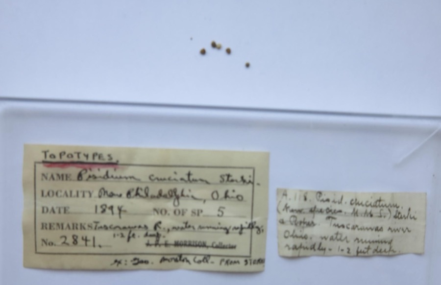 | Pisidium cruciatum Sterki, 1895 | 1894 | G. Marston | Tuscarawas River, New Philadelphia |
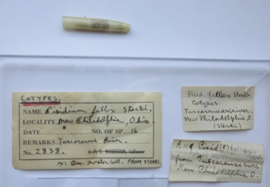 | Pisidium fallax Sterki, 1896 | 1894 | G. Marston | Tuscarawas River, New Philadelphia |
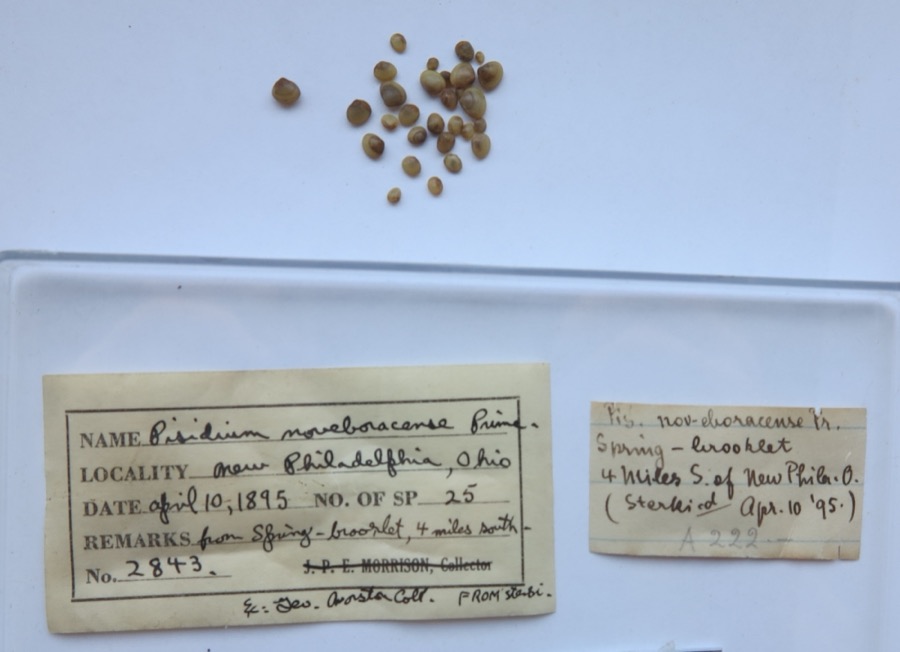 | Pisidium noveboracense Prime, 1858 | 1895 | G. Marston | from spring - brook lat. 4 miles south of New Philadelpia (Sterki) |
 | Amelanchier arborea (F.Michx.) Fernald | 1851 | Wolle, J. | Canoe Down [Canal Dover] |
 | Anemone canadensis L. | 1851 | Wolle, J. | Canoe Down [Canal Dover] |
 | Cardamine douglassii Britton | 1851 | Wolle, J. | Canae Docus [??] [Canal Dover] |
 | Conopholis americana (L.) Wallr. | 1851 | Wolle, J. | Canoe Down [Canal Dover?] |
 | Delphinium tricorne Michx. | 1851 | Wolle, J. | Canoe Down [Canal Dover] |
 | Erythronium americanum Ker Gawl. | 1851 | Wolle, J. | Canal Dover |
 | Hydrophyllum appendiculatum Michx. | 1851 | Wolle, J. | Canoe Down [Canal Dover] |
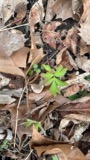 | Hydrophyllum virginianum L. | 1851 | Wolle, J. | Canoe Down [Canal Dover] |
 | Silene virginica L. | 1851 | Wolle, J. | Canal Downs [Canal Dover] |
All 498 specimens within 10 miles, at the Global Biodiversity Information Facility.
Storms near this place
6 since 2007Regional context, not property-specific evidence. The National Weather Service names New Cumberland in 6 storm reports between 2007 and 2023: 3 thunderstorm wind, 3 flash flood. No death or injury is recorded in these reports. Each account below is quoted exactly as the forecast office filed it, from the NOAA Storm Events Database, and each date opens the federal record of that event.
| When | Event | Place named | Harm | What the report says |
|---|---|---|---|---|
| August 2023 | Flash Flood | New Cumberland | $10,000 | State official reported flooding along Echo Lake Road and near State Route 212. |
| May 2017 | Thunderstorm Wind | New Cumberland | $5,000 | Trained spotter reported several trees down. |
| May 2007 | Thunderstorm Wind | New Cumberland | $2,000 | Emergency management reported trees and power lines down in New Cumberland. |
| July 2019 | Thunderstorm Wind | New Cumberland | - | A local 911 Call Center reported numerous trees down throughout the county. |
| June 2018 | Flash Flood | New Cumberland | - | A private lake in the vicinity of State Route 39 was reported to have overtopped. |
| June 2018 | Flash Flood | New Cumberland | - | Henderson School Road was reported as completely submerged. |
Nearest settlements
The eight closest, with where each one stands in the county. Distances are straight-line, computed from the Geographic Names Information System coordinates.
| Map | Place | Distance | Sheets |
|---|---|---|---|
| North Shore Cottage Area | 1.1 miles | 17 | |
| Glens Cottage Area | 1.9 miles | 17 | |
| Johnston | 3.7 miles | 17 | |
| Somerdale | 3.7 miles | 17 | |
| Mount Tabor | 4.1 miles | 17 | |
| Rockford | 4.3 miles | 16 | |
| Egypt (historical) | 4.4 miles | 17 | |
| Roswell | 5.1 miles | 16 |
Provenance
This settlement is recorded in the Geographic Names Information System as feature 1054278. The sheet list is computed by point-in-boundary test against the United States Geological Survey's historical topographic inventory. Both are works of the United States government and carry no copyright under 17 U.S.C. 105.
Wildfire. Short, Karen C. 2022. Spatial wildfire occurrence data for the United States, 1992-2020 [FPA_FOD_20221014]. 6th Edition. Fort Collins, CO: Forest Service Research Data Archive. https://doi.org/10.2737/RDS-2013-0009.6 Collected with United States Government funding and usable without additional permissions or fees.
Specimens. Global Biodiversity Information Facility (GBIF), https://www.gbif.org/. Only records licensed CC0 or CC BY are used. Records licensed CC BY-NC are excluded because this site carries advertising. Images are checked individually and any whose licence is non-commercial, no-derivatives or unreadable is refused.
Storms. NOAA National Centers for Environmental Information, Storm Events Database https://www.ncei.noaa.gov/stormevents/ A work of the United States government, no copyright under 17 U.S.C. 105. Narratives are quoted verbatim from the National Weather Service report and are not edited or summarised.