 Block
Block
Rockford, Ohio
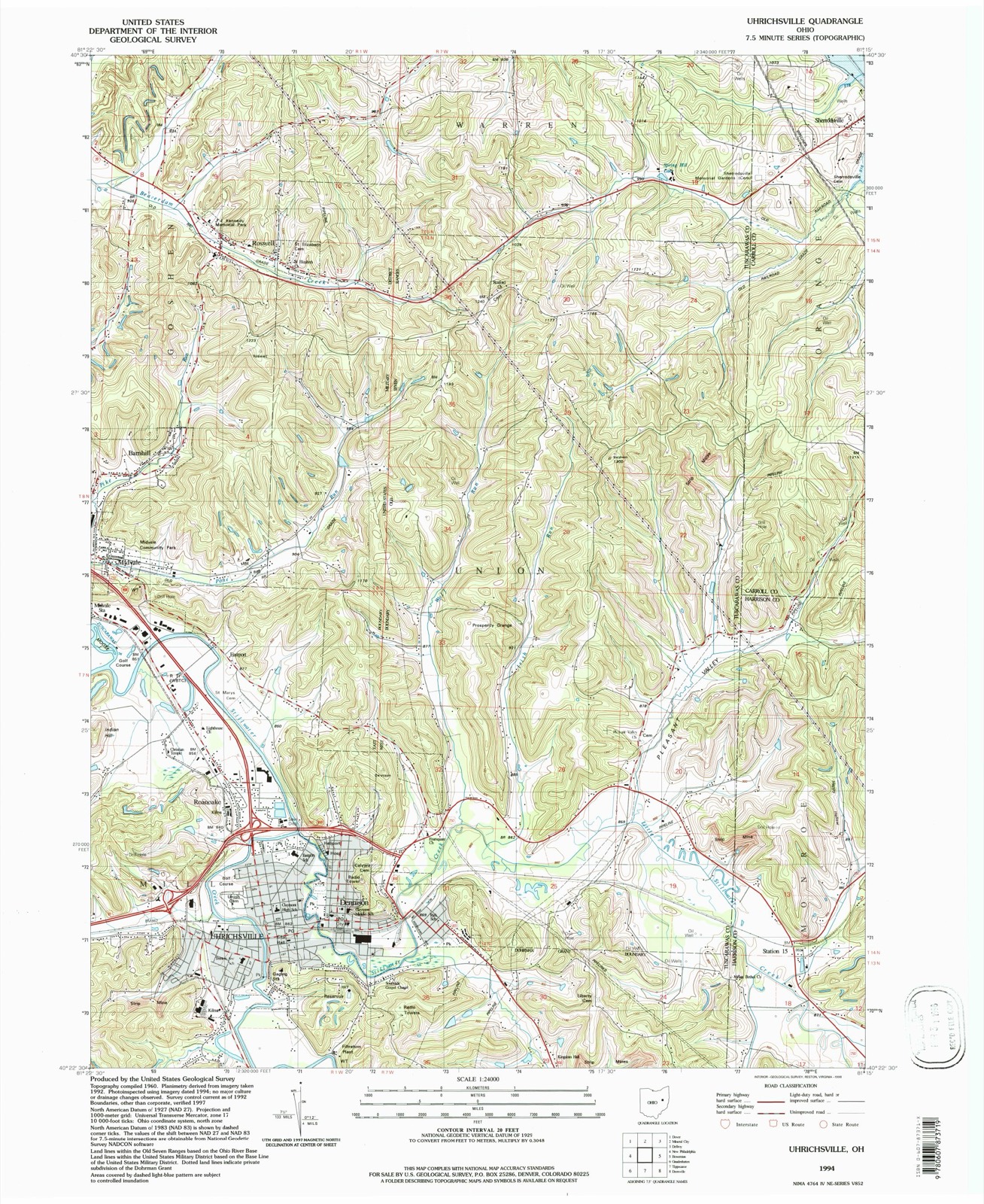
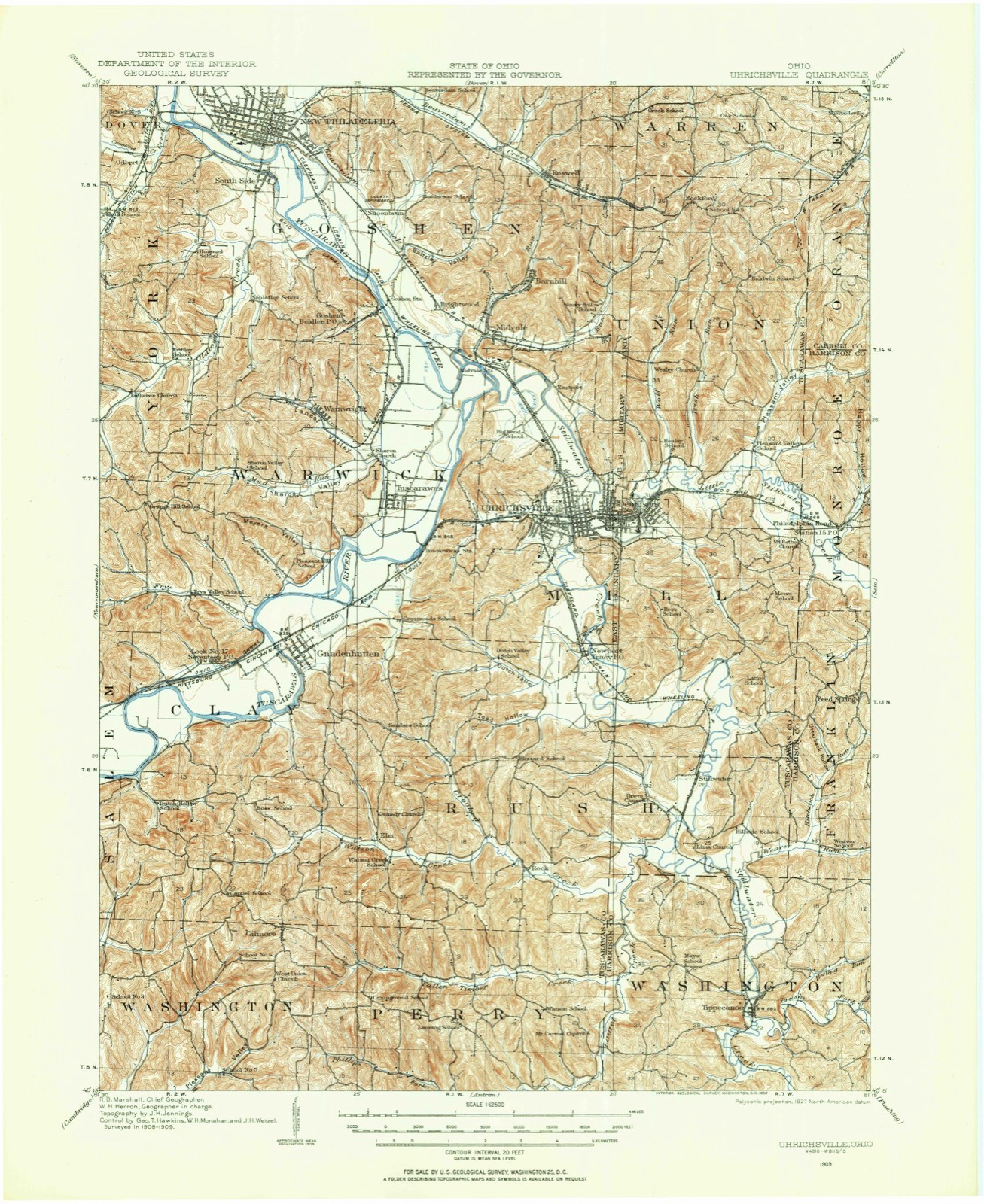
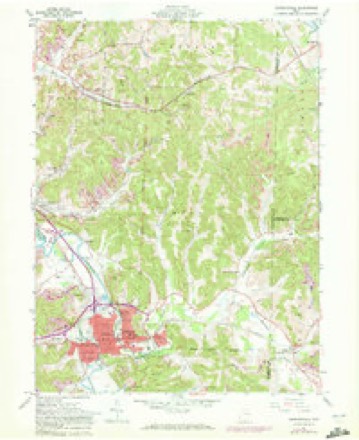
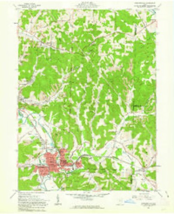
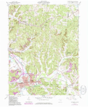
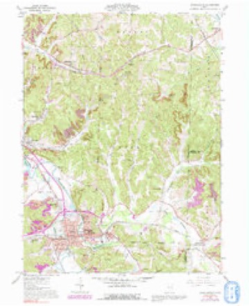
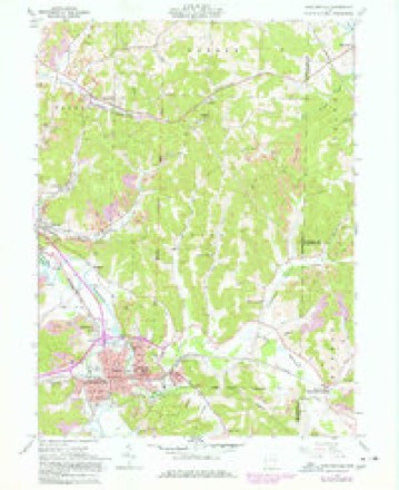
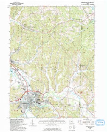
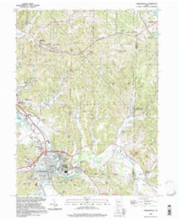
16 topographic sheets cover this place, the earliest surveyed in 1909 and the latest in 1994. It stands in Union Township. It lies in ZIP code area 44675. The Survey maps it on the Uhrichsville quadrangle.
Then and now
1909 to 1994The same ground, surveyed 85 years apart. Drag the handle to wipe between them. Both sheets are United States Geological Survey originals; neither has been altered.
Topographic sheets covering this place
16 sheetsMatched by testing this settlement's coordinate against the published boundary of every sheet in the United States Geological Survey's historical collection. Each opens the scanned sheet at the Survey.
- 1909 USGS Uhrichsville quadrangle1:62500
- 1911 USGS Uhrichsville quadrangle1:62500
- 1951 USGS Canton quadrangle1:250000
- 1953 USGS Canton quadrangle1:250000
- 1957 USGS Canton quadrangle1:250000
- 1957 USGS Canton quadrangle1:250000
- 1957 USGS Canton quadrangle1:250000
- 1961 USGS Uhrichsville quadrangle1:24000
- 1961 USGS Uhrichsville quadrangle1:24000
- 1961 USGS Uhrichsville quadrangle1:24000
- 1961 USGS Uhrichsville quadrangle1:24000
- 1961 USGS Uhrichsville quadrangle1:24000
- 1962 USGS Canton quadrangle1:250000
- 1962 USGS Canton quadrangle1:250000
- 1993 USGS Uhrichsville quadrangle1:24000
- 1994 USGS Uhrichsville quadrangle1:24000







In the county-history sources
2,565 words on this townshipThe History of Tuscarawas County, Ohio, published 1884 names this settlement in its chapter on Union Township. These are the passages that mention it, exactly as the scans read.
John McPherson did not remain in the township long, but emigrated farther west. His cabin stood near the bank of Little Stillwater, on the south side, and during freshets was inundated by the floods. Once the creek rose so rapidly that he rescued his family with difficulty from their watery home. His son had taken refuge in the chimney, but emerged at its top and reached the boat in safety. William McCleary entered the southwest quarter of Section 20 and occupied it for many years. He then went West and subsequently became wealthy. David Wagoner entered the southeast quarter of Section 19. James Vanater was his son-in-law and by occupation a farmer. For a while, Vanater kept a tavern at Rockford; he then removed to the western part of the State. George Kail entered the northwest quarter of Section 20. He remained a life-long resident on a portion of it, and his family have long since gone beyond the limits of the township. Jacob Creager was of German birth. He purchased a portion of the Kail farm and remained there till his death, which overtook him in old age. James Boyd was born in County Tyrone, Ireland, and was a pioneer of Union Township widely known as the host of
Passage source: The History of Tuscarawas County, Ohio, published 1884.
Most of the earliest settlers had scarcely the rudiments of education themselves, and devoted little attention or expense to the instruction of their children. The first school is said to have been taught by a Mr. Russell in a log house about three miles east of Uhrichsville. John Pevard gave the first instruction in the northern part of the township. He was a cripple, and gave private lessons at his home in the eastern part of Section 30 about 1824. Thomas W alker was the first teacher of a regularly kept school near Rockford.
Passage source: The History of Tuscarawas County, Ohio, published 1884.
The township contains three Methodist Episcopal and one Christian or Disciple Church. Rockford Methodist Church is a neat frame building, which was erected about twenty years ago. It stands in the eastern part of Section 36. The class was organized at a private house, and for some time the meetings were held at the cabins of Mark Herron and John Irvin. Among the early members were Samuel Carnes, Yenassa Carnes, Abel Lemasters and wife, John Lemasters, John Irvin, Mark Herron. Rees Baldwin, Hanson W. Roby and wife, Nathan Leggett, John Belch and Joseph Belch. A log church was the first house of worship, occupying the site of the present building. The lot was donated by Alexander Gray. Rev. William M. Dickerson is the present minister.
Passage source: The History of Tuscarawas County, Ohio, published 1884.
Machine-read from a century-old scan, so expect the errors a machine makes: misspelled names, dropped words, stray characters.
Read the whole chapter on Union Township - it names this place 1 more 1 time.
Fires near this place
17 since 2003Regional context, not property-specific evidence. The federal wildfire occurrence database lists 17 fires within 5 miles of Rockford between 2003 and 2019, burning about 57 acres in total. None started naturally. None was recorded as arson. Distance is straight-line from the map coordinates, so a fire counted here may appear on a neighbouring settlement's page as well.
| Reported cause | Fires |
|---|---|
| Debris and open burning | 8 |
| Missing data/not specified/undetermined | 4 |
| Power generation/transmission/distribution | 3 |
| Recreation and ceremony | 1 |
| Smoking | 1 |
The most recent of them, most recent first, with the day each was reported and the service that recorded it.
| Date | Cause | Size | Reported by | Name on the report |
|---|---|---|---|---|
| 11 May 2018 | Power generation/transmission/distribution | under an acre | Ohio Department of Natural Resources | 12906 |
| 9 April 2013 | Debris and open burning | under an acre | Ohio Department of Natural Resources | not named |
| 16 April 2016 | Debris and open burning | under an acre | Ohio Department of Natural Resources | 4708 |
| 16 April 2016 | Missing data/not specified/undetermined | 12 acres | Ohio Department of Natural Resources | 4727 |
| 13 April 2018 | Missing data/not specified/undetermined | 3.0 acres | Ohio Department of Natural Resources | 13085 |
| 12 April 2014 | Smoking | under an acre | Ohio Department of Natural Resources | not named |
| 8 March 2017 | Power generation/transmission/distribution | 1.0 acres | Ohio Department of Natural Resources | 7511 |
| 7 March 2018 | Debris and open burning | 4.0 acres | Ohio Department of Natural Resources | 11236 |
Settlements close enough to share some of these fires:
Specimens collected near this place
12 of 478 shownRegional context, not property-specific evidence. Museums hold 478 specimens collected within 10 miles of Rockford between 1851 and 1973: 384 Animalia, 79 Plantae, 13 Fungi, 2 Unrecorded. 12 distinct Species records are shown. Collected by A. Cobula, A. Perry, Allen, John and others. Each is a physical object with a catalogue number, and each entry opens the museum's record. This is what was collected and kept, not a survey of what lives here - nothing can be concluded from a species being absent.
| Image | Species | Year | Collected by | Where, as recorded |
|---|---|---|---|---|
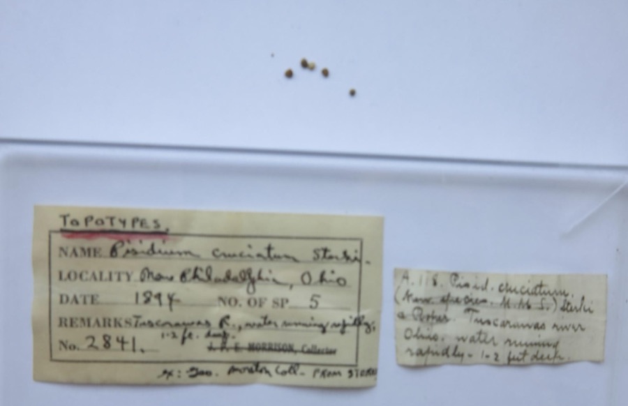 | Pisidium cruciatum Sterki, 1895 | 1894 | G. Marston | Tuscarawas River, New Philadelphia |
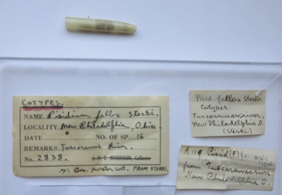 | Pisidium fallax Sterki, 1896 | 1894 | G. Marston | Tuscarawas River, New Philadelphia |
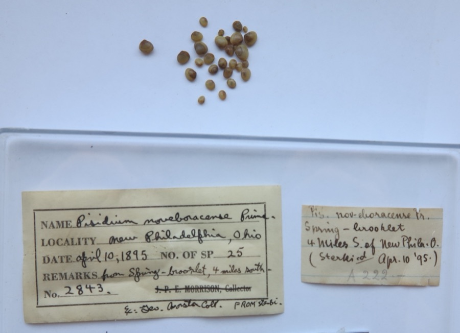 | Pisidium noveboracense Prime, 1858 | 1895 | G. Marston | from spring - brook lat. 4 miles south of New Philadelpia (Sterki) |
 | Amelanchier arborea (F.Michx.) Fernald | 1851 | Wolle, J. | Canoe Down [Canal Dover] |
 | Anemone canadensis L. | 1851 | Wolle, J. | Canoe Down [Canal Dover] |
 | Cardamine douglassii Britton | 1851 | Wolle, J. | Canae Docus [??] [Canal Dover] |
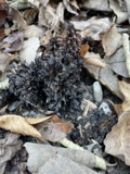 | Conopholis americana (L.) Wallr. | 1851 | Wolle, J. | Canoe Down [Canal Dover?] |
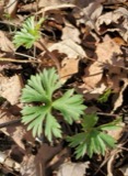 | Delphinium tricorne Michx. | 1851 | Wolle, J. | Canoe Down [Canal Dover] |
 | Erythronium americanum Ker Gawl. | 1851 | Wolle, J. | Canal Dover |
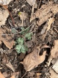 | Hydrophyllum appendiculatum Michx. | 1851 | Wolle, J. | Tuscarawa City |
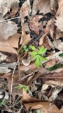 | Hydrophyllum virginianum L. | 1851 | Wolle, J. | Canoe Down [Canal Dover] |
 | Silene virginica L. | 1851 | Wolle, J. | Canal Downs [Canal Dover] |
All 478 specimens within 10 miles, at the Global Biodiversity Information Facility.
Mines and quarries near this place
2 within 5 milesRegional context, not property-specific evidence. The federal mineral resources record lists 2 workings within 5 miles of Rockford: 1 past producer, 1 producer. 1 still produces. What was taken out: Clay, Stone, Crushed/Broken. Distance is straight-line from the map coordinates, so a quarry counted here may appear on a neighbouring settlement's page as well.
| Where | Site | Commodity | Status | Recorded |
|---|---|---|---|---|
| Black Hawk Mine | Clay, Stone, Crushed/Broken | Producer | ||
| Evans Clay Products, Inc. Mill | Clay | Past Producer |
Storms near this place
3 since 2013Regional context, not property-specific evidence. The National Weather Service names Rockford in 3 storm reports between 2013 and 2018: 2 flash flood, 1 thunderstorm wind. No death or injury is recorded in these reports. Each account below is quoted exactly as the forecast office filed it, from the NOAA Storm Events Database, and each date opens the federal record of that event.
| When | Event | Place named | Harm | What the report says |
|---|---|---|---|---|
| June 2013 | Thunderstorm Wind | Rockford | $1,000 | Law enforcement reported trees down. |
| June 2018 | Flash Flood | Rockford | - | The intersection of Dawn Road and Miller Hill Road was reported as impassable due to flooding. |
| June 2018 | Flash Flood | Rockford | - | Portions of Roxford Church Road were washed away. |
Nearest settlements
The eight closest, with where each one stands in the county. Distances are straight-line, computed from the Geographic Names Information System coordinates.
| Map | Place | Distance | Sheets |
|---|---|---|---|
| Roswell | 2.2 miles | 16 | |
| Glens Cottage Area | 3.7 miles | 17 | |
| Barnhill | 3.8 miles | 16 | |
| Egypt (historical) | 4.0 miles | 17 | |
| North Shore Cottage Area | 4.1 miles | 17 | |
| Eastport | 4.2 miles | 16 | |
| New Cumberland | 4.3 miles | 17 | |
| Midvale | 4.4 miles | 16 |
Elsewhere
Matched on this settlement's Geographic Names Information System number rather than its name, so it cannot be a different place of the same name in another state.
| Wikipedia article on Rockford | An encyclopaedic summary. Its text is share-alike, so it is linked here rather than copied. |
| Wikidata item Q22134188 | The structured record the population and elevation above come from. Public domain (CC0). |
Provenance
This settlement is recorded in the Geographic Names Information System as feature 1057961. The sheet list is computed by point-in-boundary test against the United States Geological Survey's historical topographic inventory. Both are works of the United States government and carry no copyright under 17 U.S.C. 105.
Wildfire. Short, Karen C. 2022. Spatial wildfire occurrence data for the United States, 1992-2020 [FPA_FOD_20221014]. 6th Edition. Fort Collins, CO: Forest Service Research Data Archive. https://doi.org/10.2737/RDS-2013-0009.6 Collected with United States Government funding and usable without additional permissions or fees.
Specimens. Global Biodiversity Information Facility (GBIF), https://www.gbif.org/. Only records licensed CC0 or CC BY are used. Records licensed CC BY-NC are excluded because this site carries advertising. Images are checked individually and any whose licence is non-commercial, no-derivatives or unreadable is refused.
Mines and quarries. USGS Mineral Resources Data System (MRDS) https://mrdata.usgs.gov/mrds/ A work of the United States government, no copyright under 17 U.S.C. 105.
Storms. NOAA National Centers for Environmental Information, Storm Events Database https://www.ncei.noaa.gov/stormevents/ A work of the United States government, no copyright under 17 U.S.C. 105. Narratives are quoted verbatim from the National Weather Service report and are not edited or summarised.