 Block
Block
New Germany, Ohio
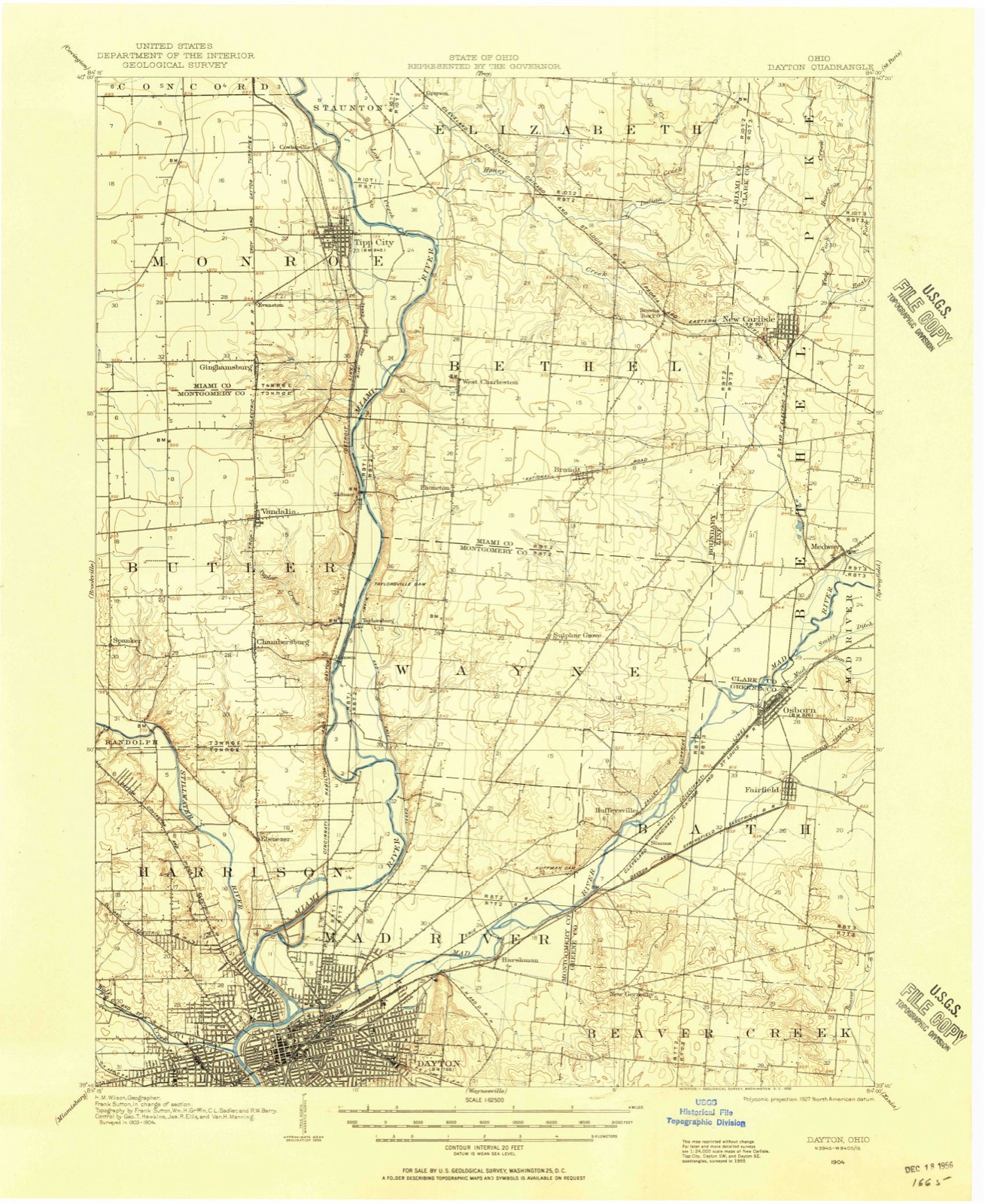
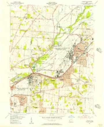
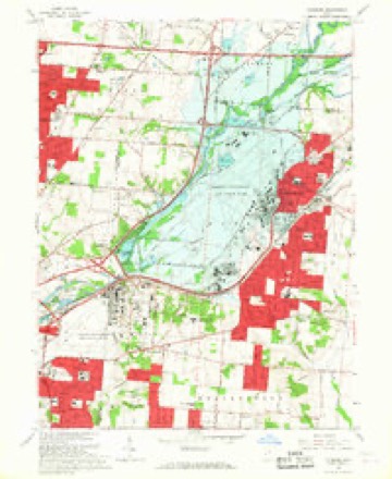
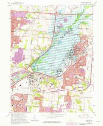
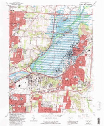
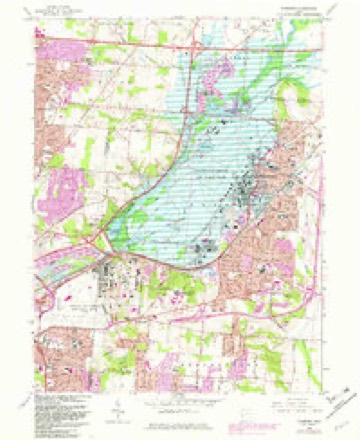
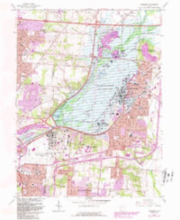
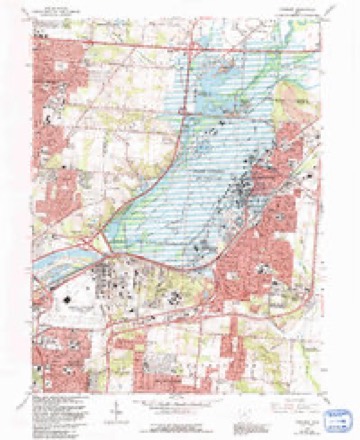
16 topographic sheets cover this place, the earliest surveyed in 1904 and the latest in 1986. It stands in Beavercreek Township. It lies in ZIP code area 45324. The Survey maps it on the Fairborn quadrangle.
Then and now
1904 to 1986The same ground, surveyed 82 years apart. Drag the handle to wipe between them. Both sheets are United States Geological Survey originals; neither has been altered.

Topographic sheets covering this place
16 sheetsMatched by testing this settlement's coordinate against the published boundary of every sheet in the United States Geological Survey's historical collection. Each opens the scanned sheet at the Survey.
- 1904 USGS Dayton quadrangle1:62500
- 1906 USGS Dayton quadrangle1:62500
- 1906 USGS Dayton quadrangle1:62500
- 1953 USGS Cincinnati quadrangle1:250000
- 1953 USGS Cincinnati quadrangle1:250000
- 1953 USGS Cincinnati quadrangle1:250000
- 1955 USGS Fairborn quadrangle1:24000
- 1957 USGS Cincinnati quadrangle1:250000
- 1965 USGS Fairborn quadrangle1:24000
- 1965 USGS Fairborn quadrangle1:24000
- 1965 USGS Fairborn quadrangle1:24000
- 1965 USGS Fairborn quadrangle1:24000
- 1965 USGS Fairborn quadrangle1:24000
- 1965 USGS Fairborn quadrangle1:24000
- 1986 USGS Dayton quadrangle1:100000
- 1986 USGS Dayton quadrangle1:100000






Specimens collected nearby
12 of 230 shownMuseums hold 230 specimens collected within 10 miles of New Germany between 1839 and 1975: 212 Animalia, 7 Fungi, 5 Protozoa, 5 Plantae, 1 Unrecorded. 12 distinct Species records are shown. Collected by A.R. Gaufin, H.H. Ross, Arden R. Gaufin, Arlian, L. G. and others. Each is a physical object with a catalogue number, and each entry opens the museum's record. This is what was collected and kept, not a survey of what lives here - nothing can be concluded from a species being absent.
| Image | Species | Year | Collected by | Where, as recorded |
|---|---|---|---|---|
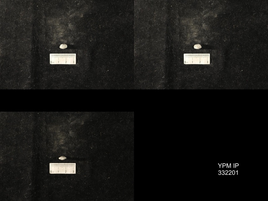 | Dinorthis Hall & Clarke, 1892 (fossil) | 1921 | Carl O. Dunbar | RR cut at new dam 4 or 5 mi E of Dayton |
 | Allium canadense L. | 1839 | not recorded | Dayton. 1 mi. northeast. |
| Phalangium esculentum Nutt. | 1839 | not recorded | Dayton. 1 mi. northeast. | |
 | Sagittaria sagittifolia L. | 1839 | not recorded | Dayton. 1 mi. northeast. |
 | Lanius ludovicianus Linnaeus, 1766 | 1896 | Wright, Frank S. | LOCNM: Zenia (near) |
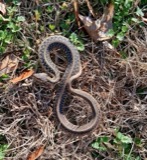 | Thamnophis sirtalis (Linnaeus, 1758) | 1907 | H VOLLER | DAYTON HUFFMAN PRAIRIE |
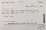 | Chamberlainia acuminata (Hedw.) Grout | 1910 | H. S. Jewett | 1.5 mi. S of Yellow Spring |
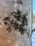 | Frullania eboracensis Gottsche | 1911 | Henry S. Jewett | Idlewood, northeast of Dayton, 0.5 to 6 ft. from ground |
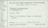 | Phomopsis juniperovora G.G.Hahn | 1919 | not recorded | Yellow Springs, From Carr's Nurseries |
| Brachiopoda (fossil) | 1921 | Carl O. Dunbar | RR cut at new dam 4 or 5 mi E of Dayton | |
| Bryozoa (fossil) | 1921 | Carl O. Dunbar | RR cut at new dam 4 or 5 mi E of Dayton | |
| Grewingkia Dybowski, 1873 (fossil) | 1921 | Carl O. Dunbar | RR cut at new dam 4 or 5 mi E of Dayton |
All 230 specimens within 10 miles, at the Global Biodiversity Information Facility.
Mines and quarries nearby
5 within 5 milesThe federal mineral resources record lists 5 workings within 5 miles of New Germany: 5 past producers. None of them still produces. What was taken out: Sand and Gravel, Construction, Limestone, General. Distance is straight-line from the map coordinates, so a quarry counted here may appear on a neighbouring settlement's page as well.
| Where | Site | Commodity | Status | Recorded |
|---|---|---|---|---|
| Fairborn Quarry | Limestone, General | Past Producer | Sedimentary | |
| Hawker and Son Pit | Sand and Gravel, Construction | Past Producer | Sedimentary | |
| Hawker and Son Pit | Sand and Gravel, Construction | Past Producer | ||
| Larry Prine Pit | Sand and Gravel, Construction | Past Producer | ||
| Lary Prine Pit | Sand and Gravel, Construction | Past Producer | Sedimentary |
Storms nearby
4 since 2016The National Weather Service names New Germany in 4 storm reports between 2016 and 2024: 2 tornado, 1 thunderstorm wind, 1 hail. No death or injury is recorded in these reports. Each account below is quoted exactly as the forecast office filed it, from the NOAA Storm Events Database, and each date opens the federal record of that event.
| When | Event | Place named | Harm | What the report says |
|---|---|---|---|---|
| May 2019 | Tornado (EF3) | New Germany | $50,000,000 | The tornado first touched down in Riverside in far eastern Montgomery County at 2212EST before quickly moving into western Greene County at 2213EST. The tornado continued to move east across western and central Greene County before lifting along U.S. 68, about 5 miles north of Xenia.||There were two locations along the track of this tornado in the Beavercreek area where damage was indicative of EF3 intensity. The first was in the vicinity of I-675 and Grange Hall Road. Several homes along Rushton Drive had entire roofs lifted, as well as the collapse of several exterior walls with only interior walls left standing. Additional homes along Gardenview and Wendover Drives experienced high-end EF2 damage with windows shattered, garage doors collapsed and entire roof structures removed.||Additional EF3 damage occurred in Beavercreek near Anna Laura Lane. In this area, some buildings of an apartment complex had large sections of roofs removed and exterior walls on upper levels collapsed, leaving just interior walls standing. ||Most of the damage from near Grange Hall road eastward to businesses near North Fairfield Road was EF2 to EF1 type damage, where some concrete block businesses had partially collapsed walls and roof lift off.||Much of the tornado path occurred from roughly 0.5 miles north of Kemp Road to within 0.1 miles south of Kemp Road, within the limits of Beavercreek. As the tornado moved east-southeast into Beavercreek township, the damage became more consistent with EF0, to occasionally lower-end EF1, damage. This included damage along Fairground, Beaver Valley and Ludlow Roads. The tornado damage ended just to the east of U.S. 68 in Xenia Township, where roof and tree damage occurred just north of Clifton Road. This was also consistent with high-end EF0 to low-end EF1 damage. |
| February 2024 | Tornado (EF1) | New Germany | $500,000 | The tornado initially touched down at 0437EST in far northeast Montgomery County, near the intersection of Mitchell Drive and Spinning Road. The tornado moved quickly east-northeast and entered Greene County, just past Airway Road as it moved into the far southern portions of Wright-Patterson Air Force Base at 0438EST. ||A restoration hangar at Wright-Patterson Air Force Base received minor structural damage with sheet metal ripped off. Some planes that were in the process of being restored also suffered damage due to flying debris. This damage was notable enough to warrant EF1 strength winds of around 100 mph. Additional damage occurred along Loop Road, where guard rails were bent and several hardwood trees were broken and snapped. A few of the dwellings on the eastern side of the base had damage to the roofs as shingles were ripped off. ||More residential damage was observed just east of the base, with quite a bit of shingles lost on the roof of an apartment complex, just behind a grocery store. Based on the damage, the tornado weakened as it traveled further eastward from this point, with mainly tree damage observed. The last bit of tree damage was found near University Boulevard, just west of the Student Union at Wright State University. |
| August 2016 | Thunderstorm Wind | New Germany | $1,000 | One tree was knocked down. |
| May 2019 | Hail | New Germany | - | no account filed |
Nearest settlements
The eight closest, with where each one stands in the county. Distances are straight-line, computed from the Geographic Names Information System coordinates.
| Map | Place | Distance | Sheets |
|---|---|---|---|
| Woodland Hills | 1.1 miles | 16 | |
| Simms (historical) | 2.4 miles | 16 | |
| Wrightview | 2.7 miles | 16 | |
| Knollwood | 2.9 miles | 14 | |
| Huffeysville (historical) | 3.0 miles | 16 | |
| Five Points | 3.3 miles | 16 | |
| Zimmerman | 3.5 miles | 14 | |
| Park Hills Crossing | 3.5 miles | 16 |
Provenance
This settlement is recorded in the Geographic Names Information System as feature 1049006. The sheet list is computed by point-in-boundary test against the United States Geological Survey's historical topographic inventory. Both are works of the United States government and carry no copyright under 17 U.S.C. 105.
Specimens. Global Biodiversity Information Facility (GBIF), https://www.gbif.org/. Only records licensed CC0 or CC BY are used. Records licensed CC BY-NC are excluded because this site carries advertising. Images are checked individually and any whose licence is non-commercial, no-derivatives or unreadable is refused.
Mines and quarries. USGS Mineral Resources Data System (MRDS) https://mrdata.usgs.gov/mrds/ A work of the United States government, no copyright under 17 U.S.C. 105.
Storms. NOAA National Centers for Environmental Information, Storm Events Database https://www.ncei.noaa.gov/stormevents/ A work of the United States government, no copyright under 17 U.S.C. 105. Narratives are quoted verbatim from the National Weather Service report and are not edited or summarised.