BlockBefore
Decorative drawing: a county panorama. Not a photograph of this place.

Greene County, Ohio

72 topographic sheets and 29 fire insurance atlases across 5 places.

Research this county

This curated hub for Greene County, Ohio brings together the page's documented record links, visible map or image evidence where published, and routes to related local records.

What is documented here?

Use the page's provenance and linked records to distinguish the source material from the site's navigation and summaries.

How should I cite it?

Open the original record, preserve its repository and identifier, then use the citation tool for this page as a path back to the source.

Where should I go next?

Follow the county or state hub for related places and records, then use the guide for a source-aware research sequence.

From the record

30 National Register listings, of which 1 are National Historic Landmarks · 46 businesses named in the fire insurance atlases from 1885 to 1943 · the 1902 county history tells 0 stories and names 120 people · people the book names include Jacob M. Allamon (Jefferson Township, 1902) (machine-read).

Sources: the county history on the Internet Archive · the National Register database, National Park Service

Ohio within the United States
Greene County within Ohio
Explore by year 1855 1945

What the record shows

  • 5 places in this county were surveyed for fire insurance: Xenia, Yellow Springs, Cedarville, Jamestown, Osborn, between 1885 and 1950.
  • 29 fire insurance atlas(es) survive for the county. Topographic coverage is national; fire insurance survey reached only incorporated places with something worth insuring.
  • 689 topographic sheet readings cover the county's settlements.
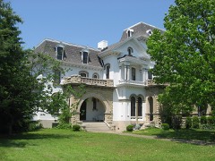
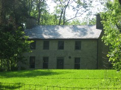
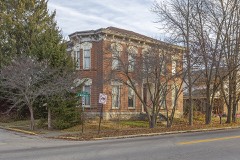
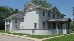
  • 30 properties here are on the National Register of Historic Places, including 1 covered bridge, 16 houses and farms.
  • 12 of the 30 listings were added during the 1970s.
  • The Geographic Names Information System records 49 populated places in this county; 0 are covered by at least one topographic sheet.
  • 1 public-domain county history, 1902, supply 243,173 words of narrative reproduced here in full.

Photographs

3 photographs, 1951

Taken for the Office of War Information and the Farm Security Administration, who photographed the country between 1935 and 1944. Works of United States government photographers, with no known restriction on use. Each opens its catalogue record.

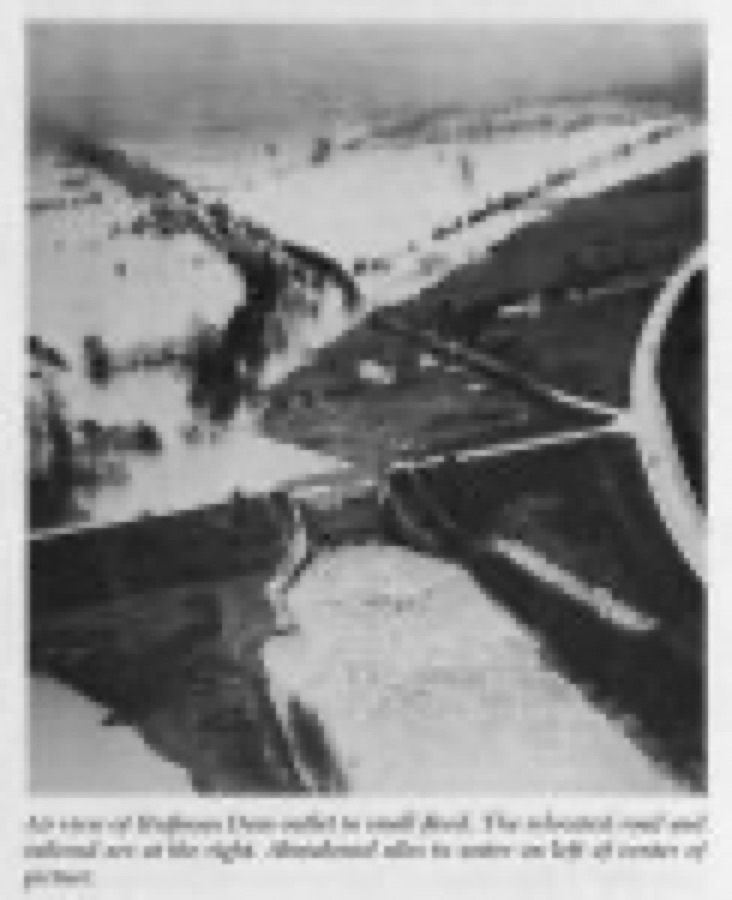
Air view of Huffman Dam outlet in small flood. The relocated road and railroad are at the right. Abandoned silos in water on left of center of picture
Unattributed, 1951. Library of Congress
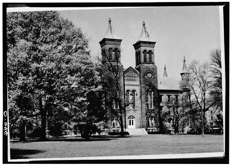
Antioch College, Main Hall, Livermore Street & North College Avenue, Yellow Springs, Greene County, OH
Unattributed, . Library of Congress
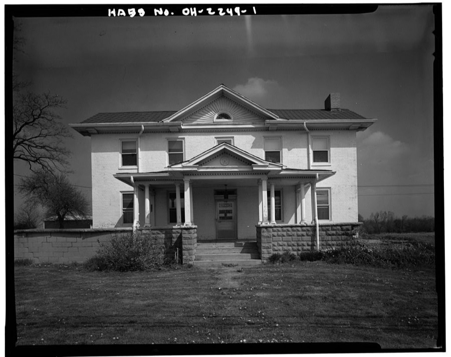
Colonel Charles Young House, Columbia Pike between Clifton & Stevenson Roads, Wilberforce, Greene County, OH
Unattributed, . Library of Congress

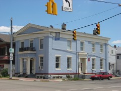
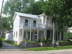
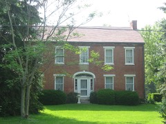
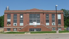
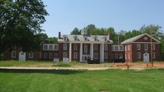
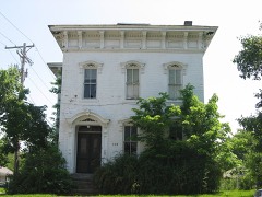
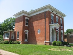
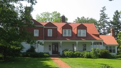
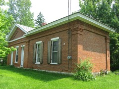
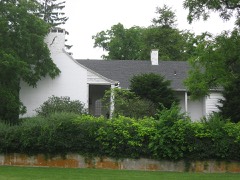
Places on the National Register

30

Every property in this county listed on the National Register of Historic Places, with the year it was listed and the federal nomination document.

Photograph PropertyType ListedReference
Antioch Hall, North And South Hallsbuilding197575001411
Ballard Road Covered Bridgestructure197575001408
Bank Of Xeniabuilding197373001450
Barrett, George, Concrete Housebuilding198686000699
Bath Township Consolidated Schoolbuilding198383001974
Berryhill-Morris Housebuilding197575001407
C. N. & I. Department Power Housebuilding200303001099
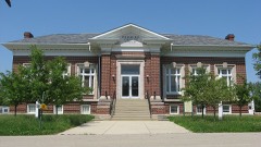
Carnegie Library (Old Wilberforce University Campus)building200404000610
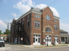
Cedarville Opera Housebuilding198484003697
Conner, Alexander, Housebuilding198787000460
Dean Family Farmbuilding197575001409
East Second Street Districtdistrict197373001451
Emery Hallbuilding200505001144
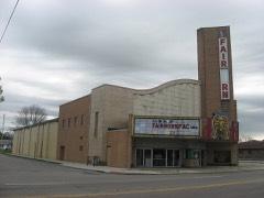
Fairborn Theatrebuilding200505000755
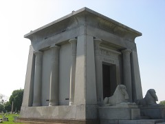
Harper Mausoleum and Harper, George W., Memorial Entrancestructure198888000115
Hollencamp Housebuilding198080003029
Jamestown Opera Housebuilding200707001093
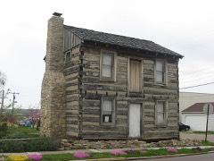
Mercer Log Housebuilding198181000433
Millen-Schmidt Housebuilding197676001432
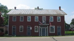
Old Hotel, Thebuilding198888001296
Patterson, Samuel N., Housebuilding197676001433
Reid, Whitelaw, Housebuilding197373001448
South Schoolbuilding198989001459
Tawawa Chimney Cornerbuilding2020100005361
Whitehall Farmbuilding198080003031
Whiteman, Benjamin, Housebuilding197373001449
Wickersham Housebuilding2018100003208
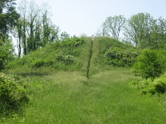
Williamson Mound State Memorialsite197171000639
Xenia Carnegie Librarybuilding201515000041
Young, Col. Charles, Housebuilding197474001506

Covered bridges

1

Greene County holds 1 covered bridges on the National Register, more than any other property type here. Each is a listed structure with a federal nomination on file.

Ballard Road Covered BridgeListed 1975, 0 map sheets show this crossing

Digitised newspapers

1 issue

Sampled issues, machine-read from the Library of Congress scan and published page by page, so every headline and column is searchable text.

Ohio Standard and Observer

Xenia, Ohio ; Wilberforce, Ohio, 1897 to 19??. Machine-read from the Library of Congress scan.

Bird's-eye views and land ownership maps

5

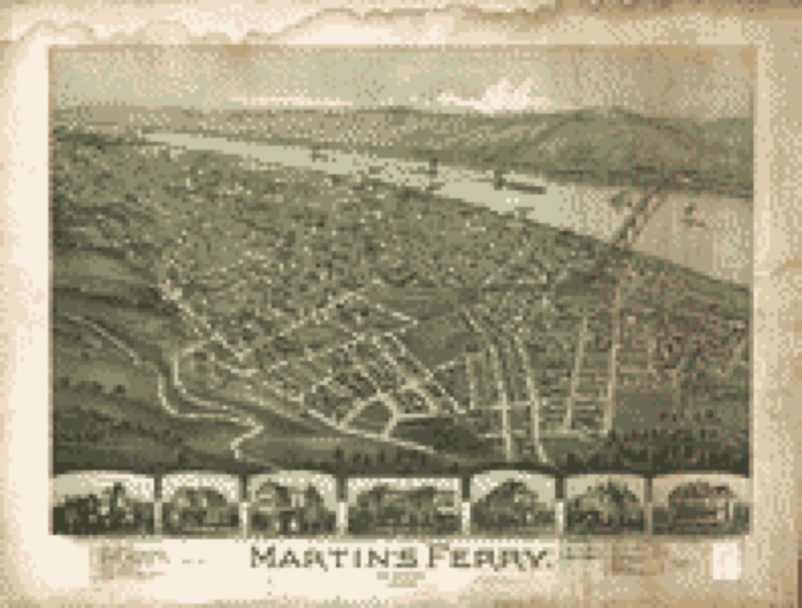
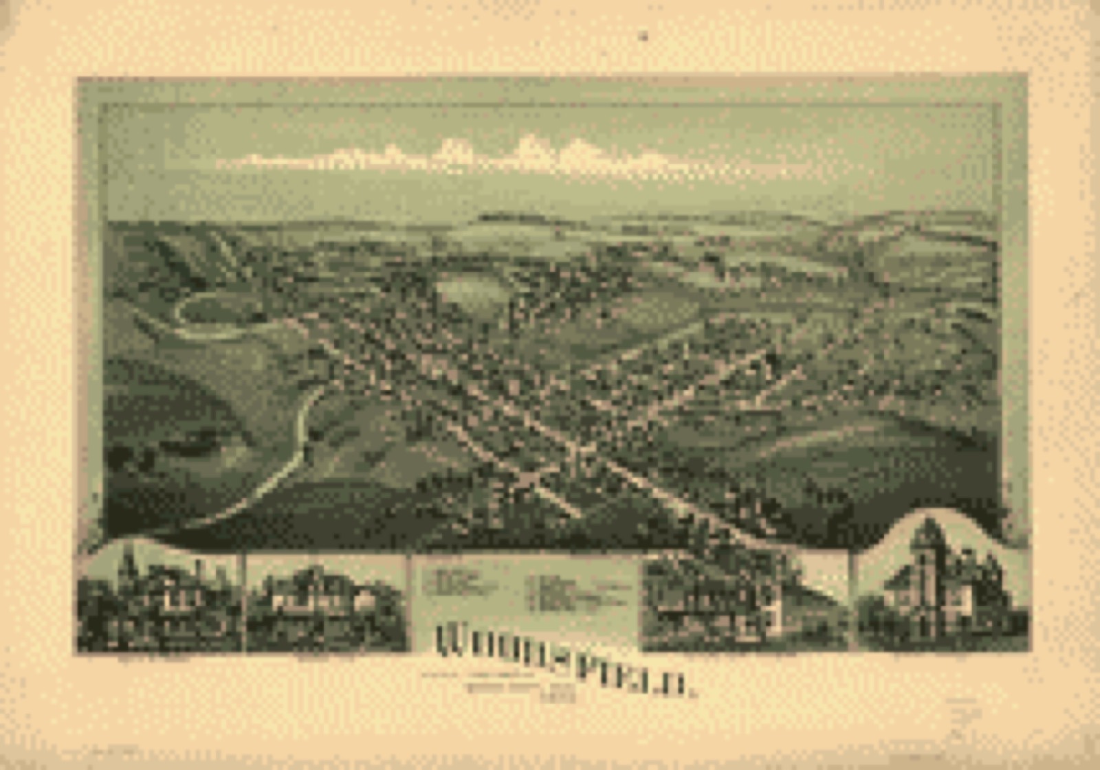
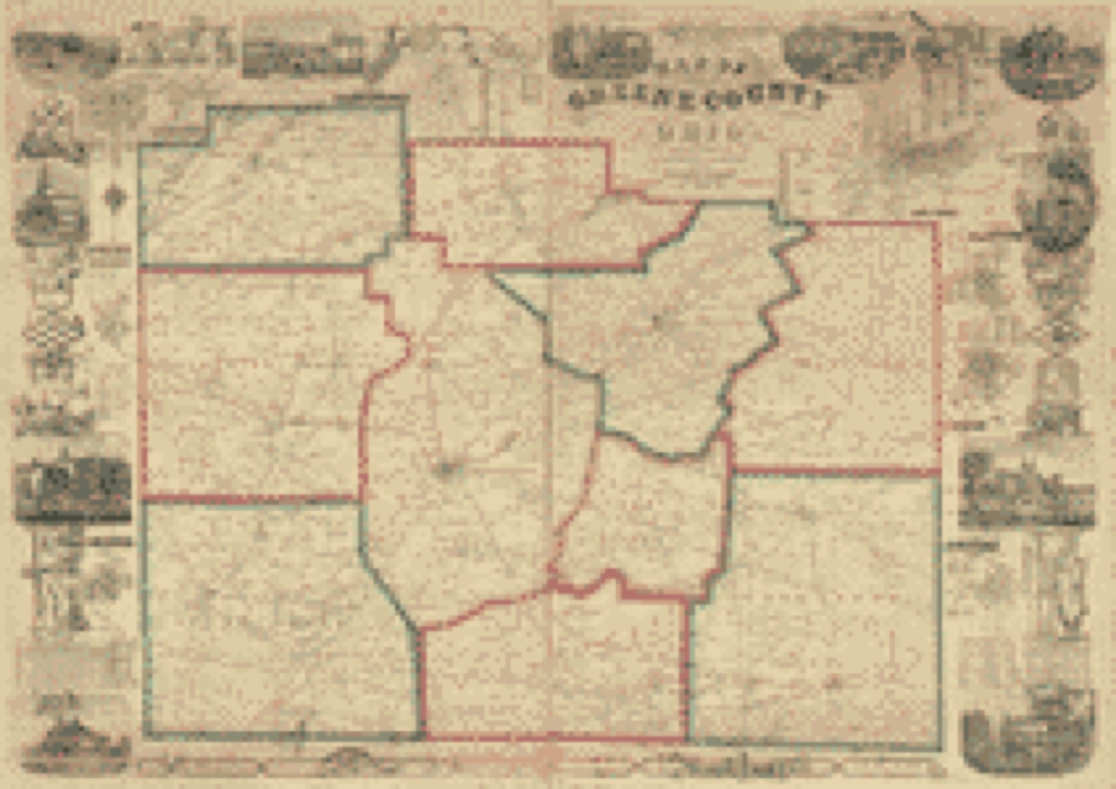
Drawn when these were printed as single large sheets: the town seen from the air, and the county divided into its farms with every owner named. Each opens the original at the Library of Congress.

Bird's-eye view, 1899 - Martin's Ferry, Ohio 1899
Bird's-eye view (1899) - Martin's Ferry, Ohio 1899. Library of Congress.
Bird's-eye view, 1899 - Woodsfield, Monroe County, Ohio, 1899
Bird's-eye view (1899) - Woodsfield, Monroe County, Ohio, 1899. Library of Congress.
Land ownership map, 1896 - Riddell's Greene County atlas, 1896
Land ownership map (1896) - Riddell's Greene County atlas, 1896. Library of Congress.
Land ownership map, 1855 - Map of Greene County, Ohio
Land ownership map (1855) - Map of Greene County, Ohio. Library of Congress.
Land ownership map, 1869 - Map of Monroe County, Ohio
Land ownership map (1869) - Map of Monroe County, Ohio. Library of Congress.

Photographs from libraries nationwide

4 of 11 shown

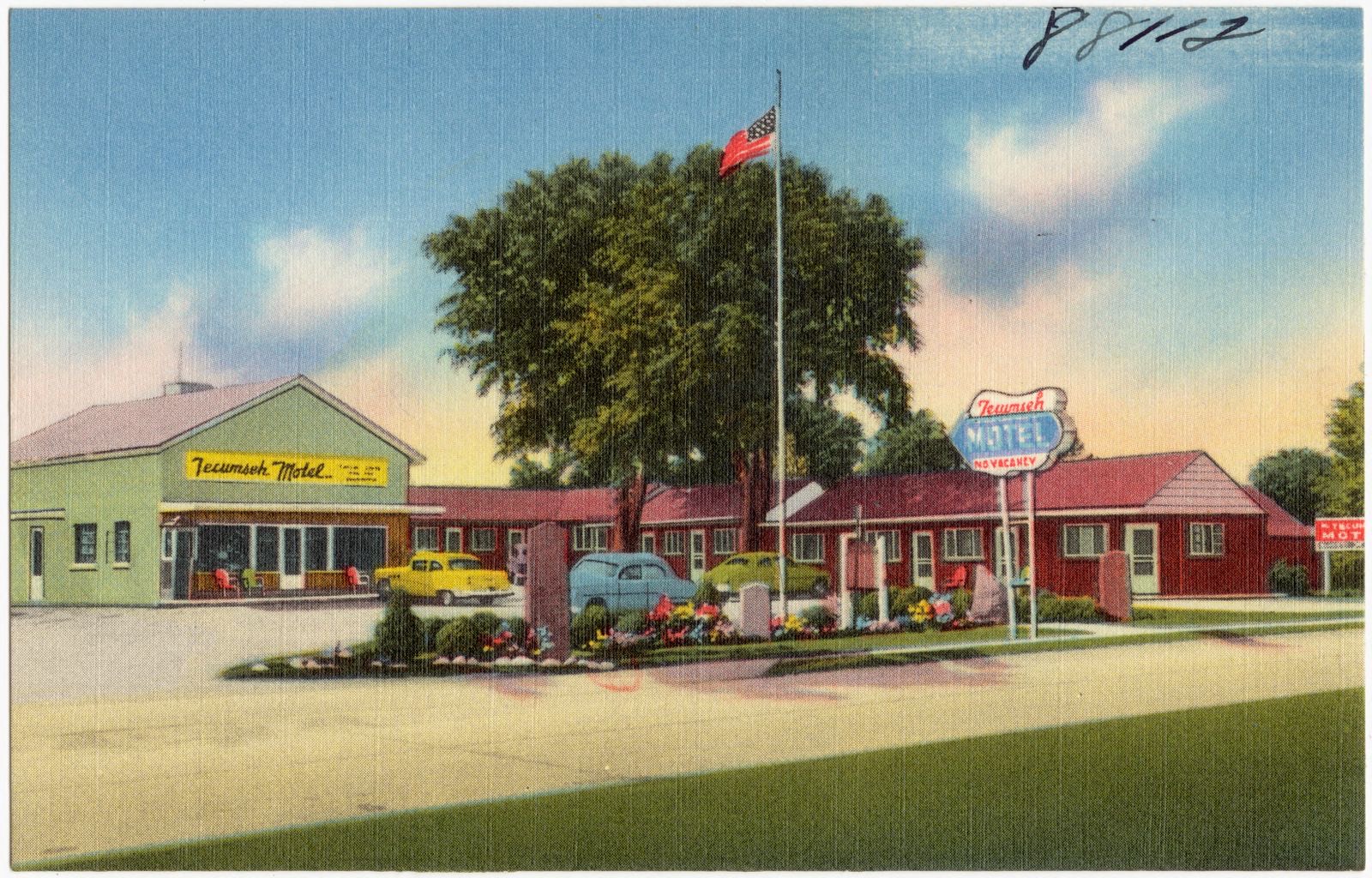
Selected from the Digital Public Library of America's 11 image records catalogued for this county. Every one shown here carries a public-domain status or a licence that permits reuse on a site that carries advertising; non-commercial, share-alike and restricted images are excluded. The selection is spread across the county's towns (at most eight per town), so no single institution's bulk upload crowds out the rest. Each opens the holding library's record, and the complete set at the Digital Public Library of America is one click away.

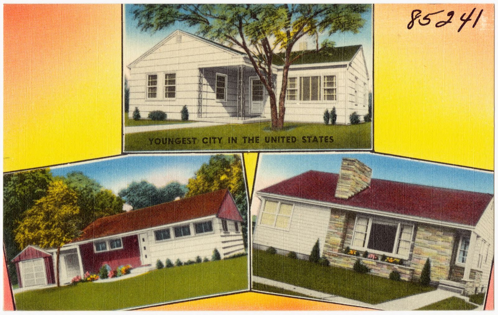
Hupp & Roehner, Inc., contract builders of modern homes, Boston Public Library - undated
Hupp & Roehner, Inc., contract builders of modern homes. Boston Public Library, via the Digital Public Library of America.
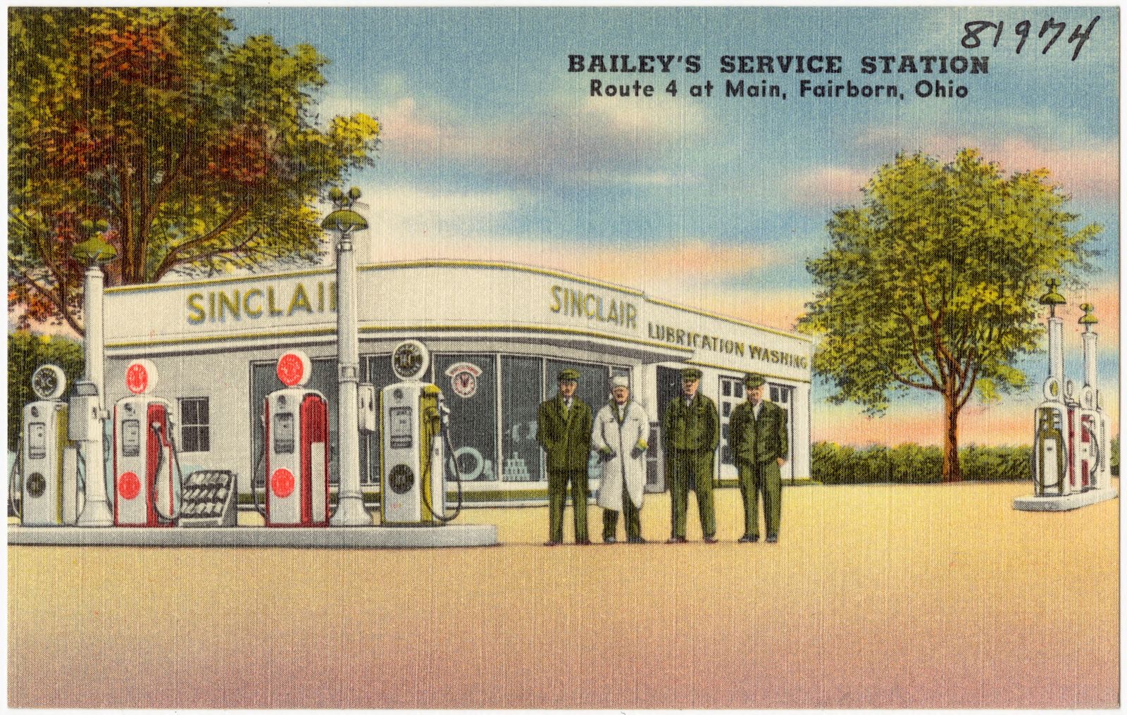
Bailey's Service Station, Route 4 at main, Fairborn, Ohio, Boston Public Library - undated
Bailey's Service Station, Route 4 at main, Fairborn, Ohio. Boston Public Library, via the Digital Public Library of America.
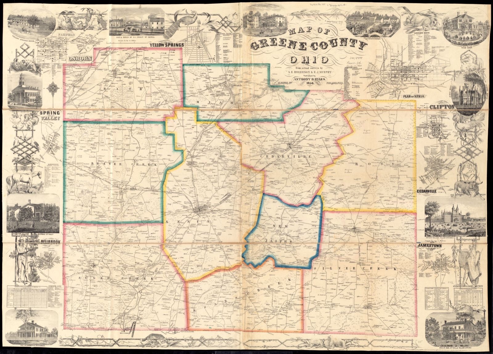
Map of Greene County, Ohio, Boston Public Library - undated
Map of Greene County, Ohio. Rogerson, A. E. (Andrew E.), Boston Public Library, via the Digital Public Library of America.
Tecumseh Motel, Boston Public Library - undated
Tecumseh Motel. Boston Public Library, via the Digital Public Library of America.

The county from the air

44 of 454 shown

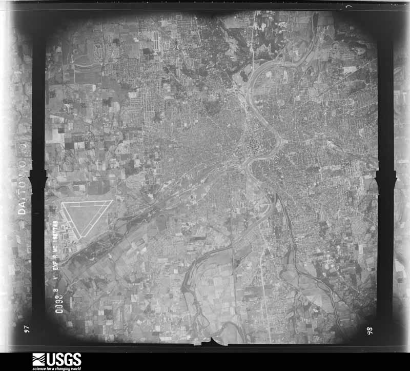
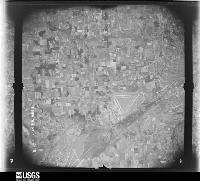
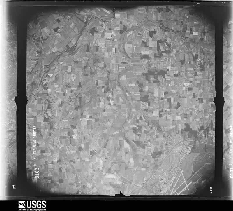
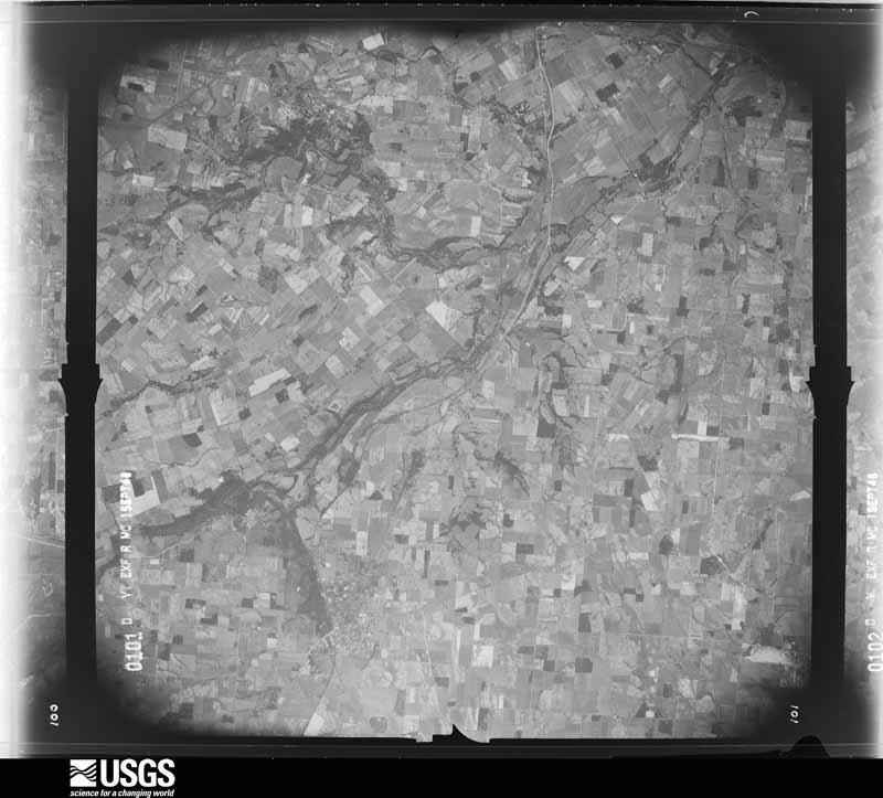
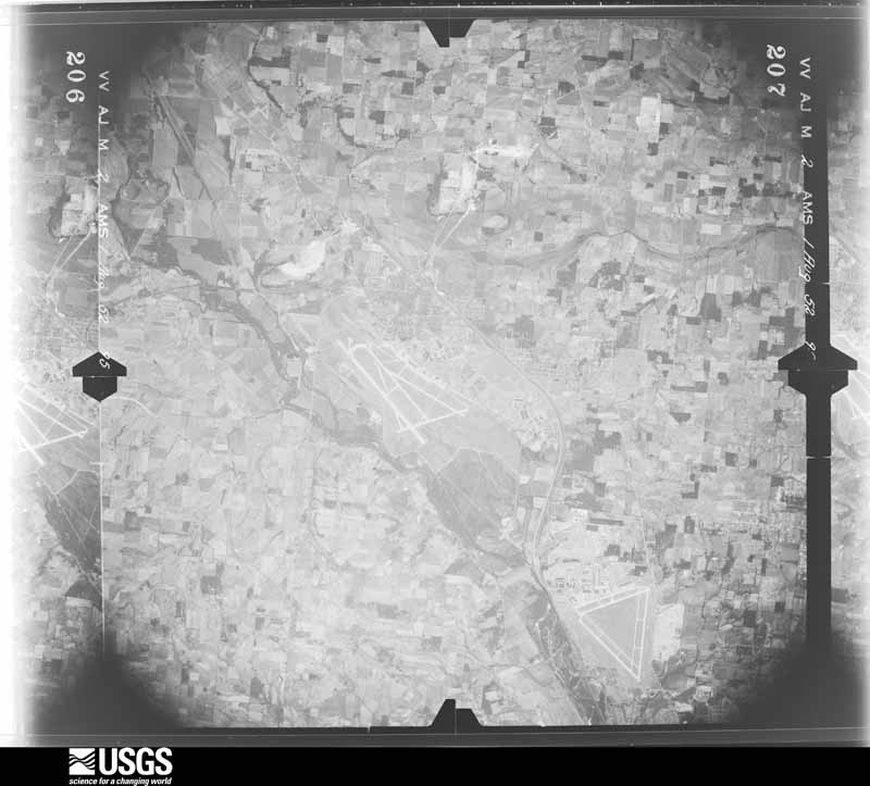
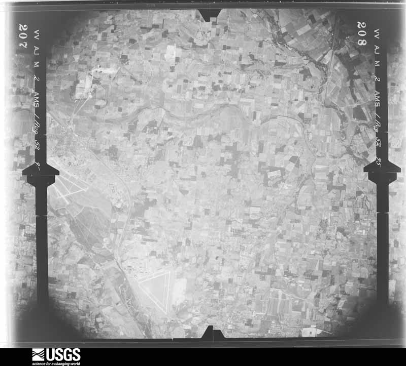
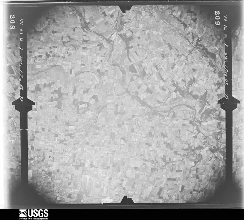
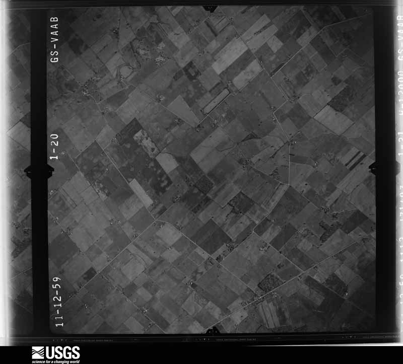
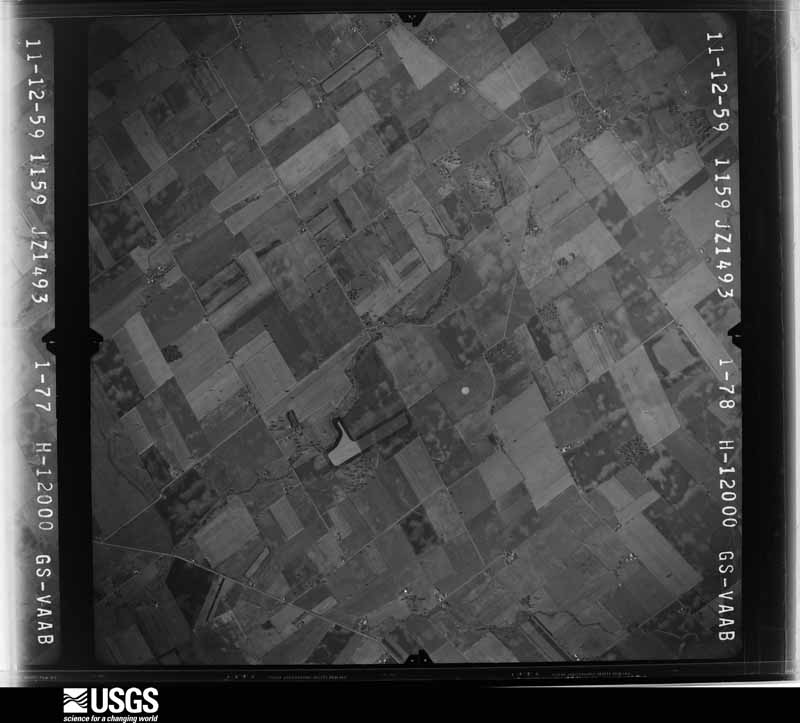
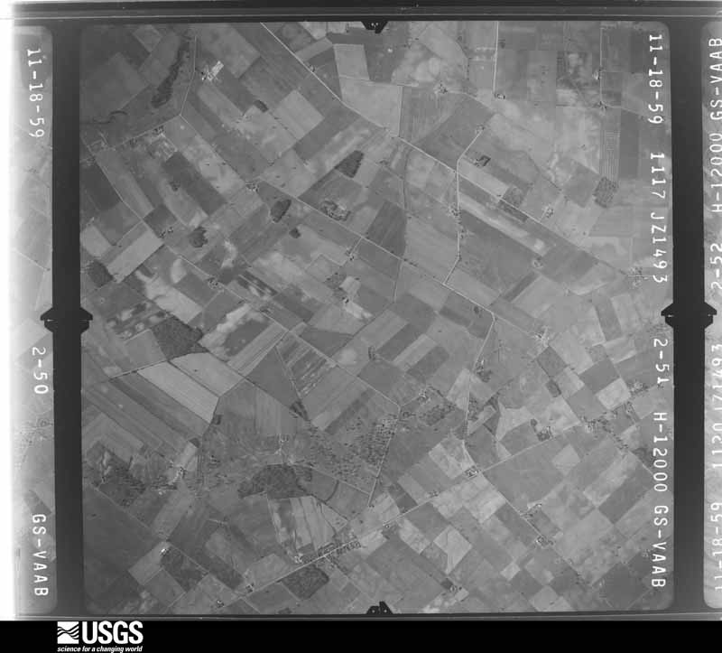
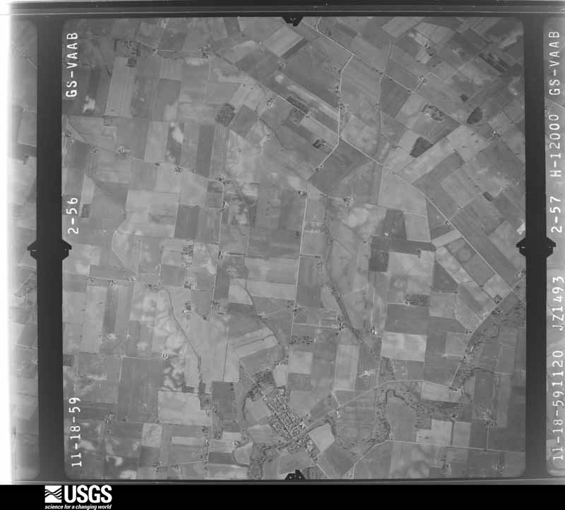
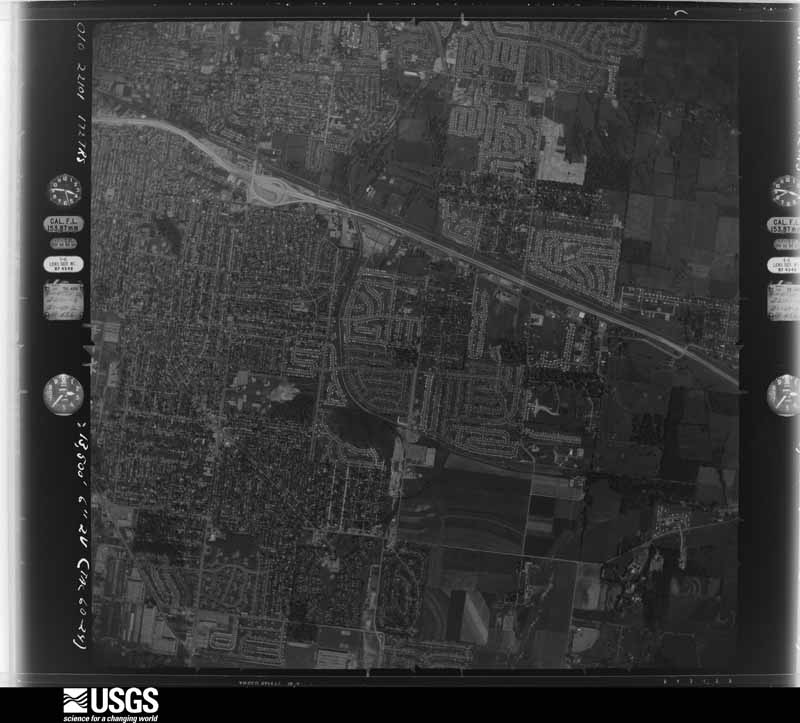
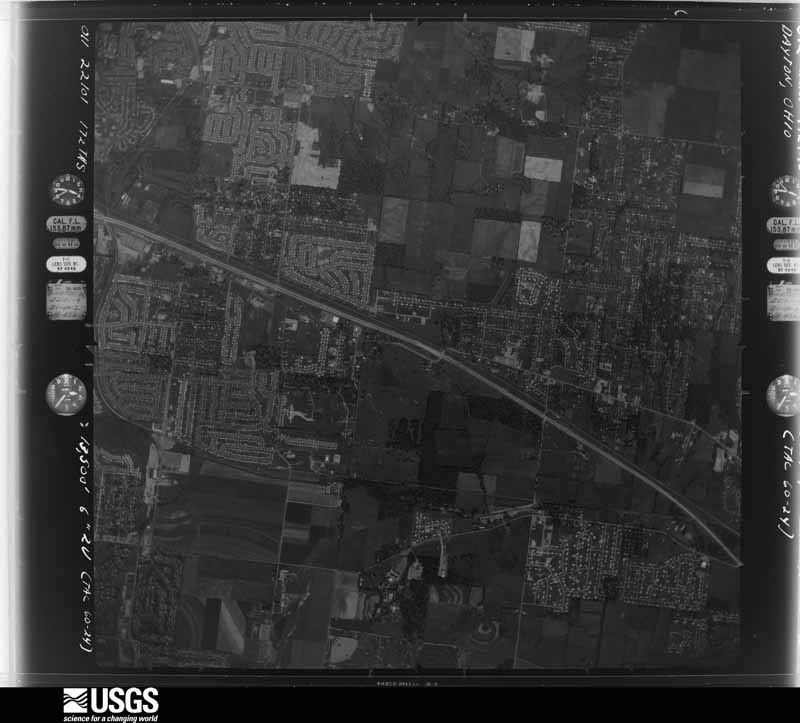
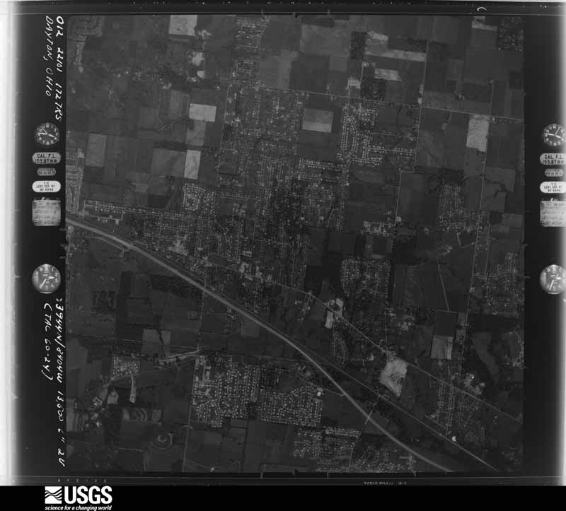
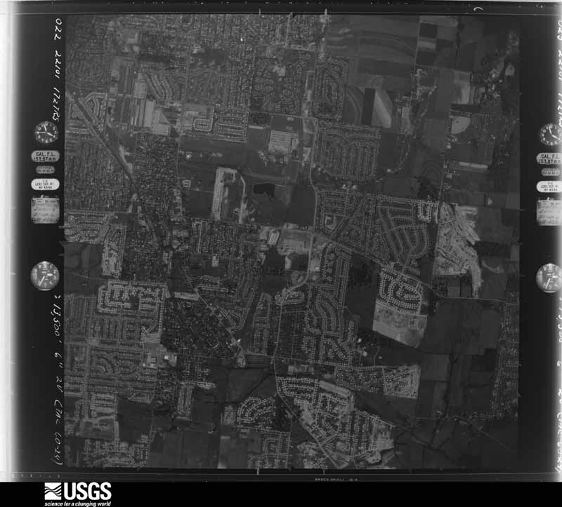
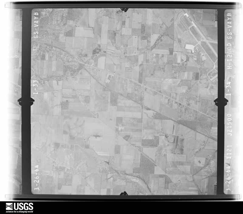
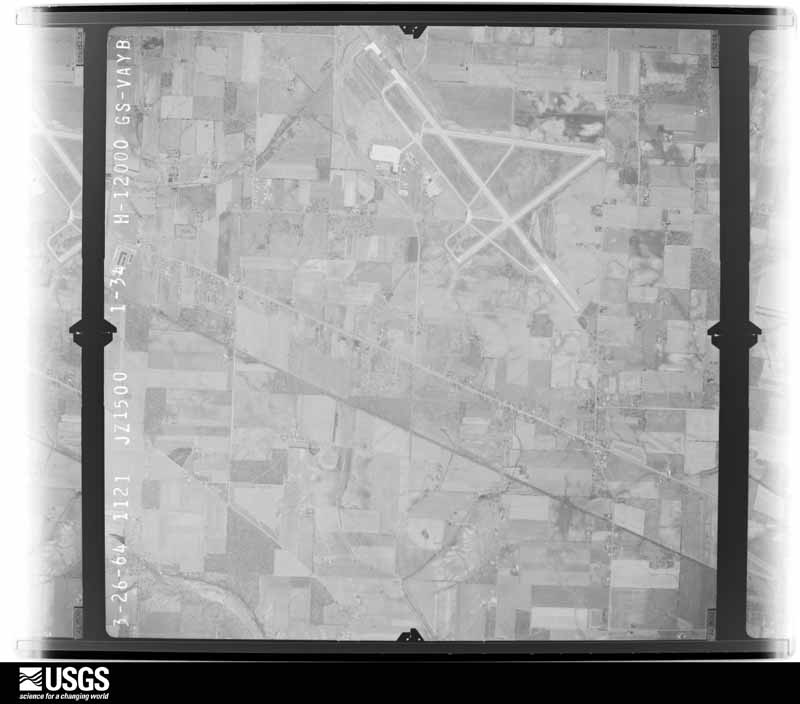
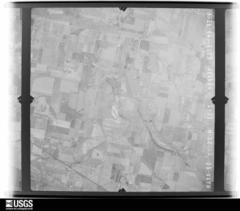
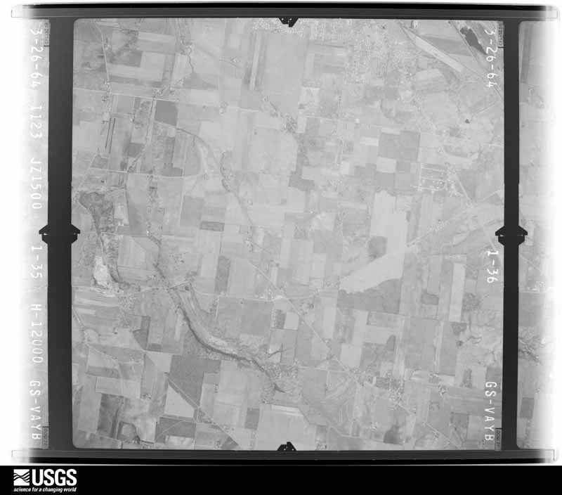
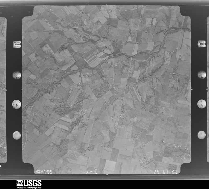
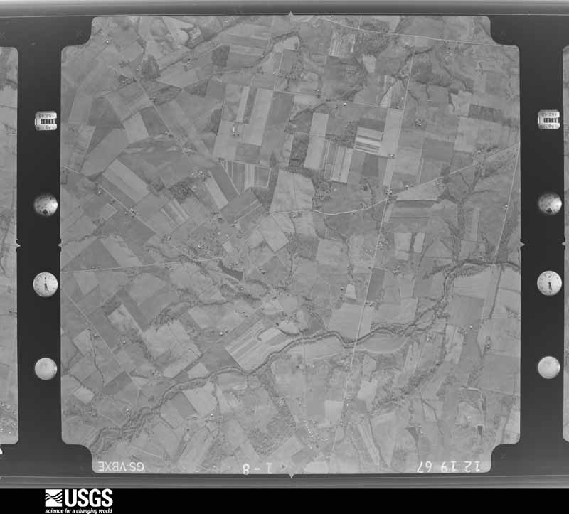
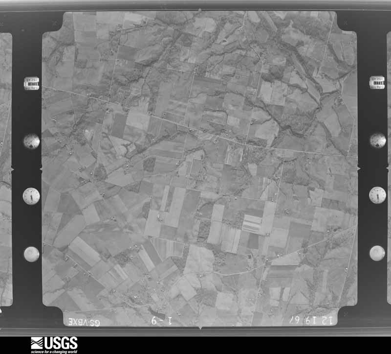
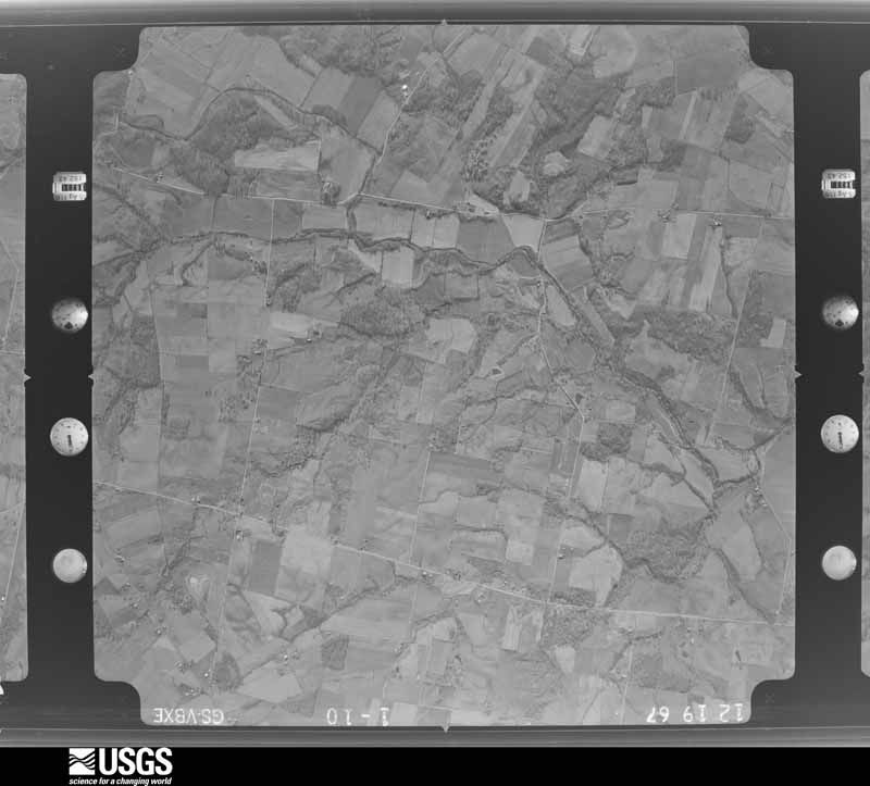
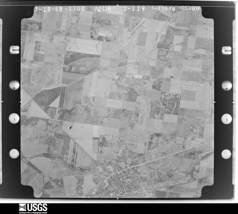
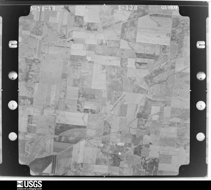
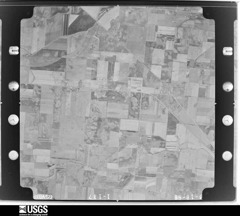
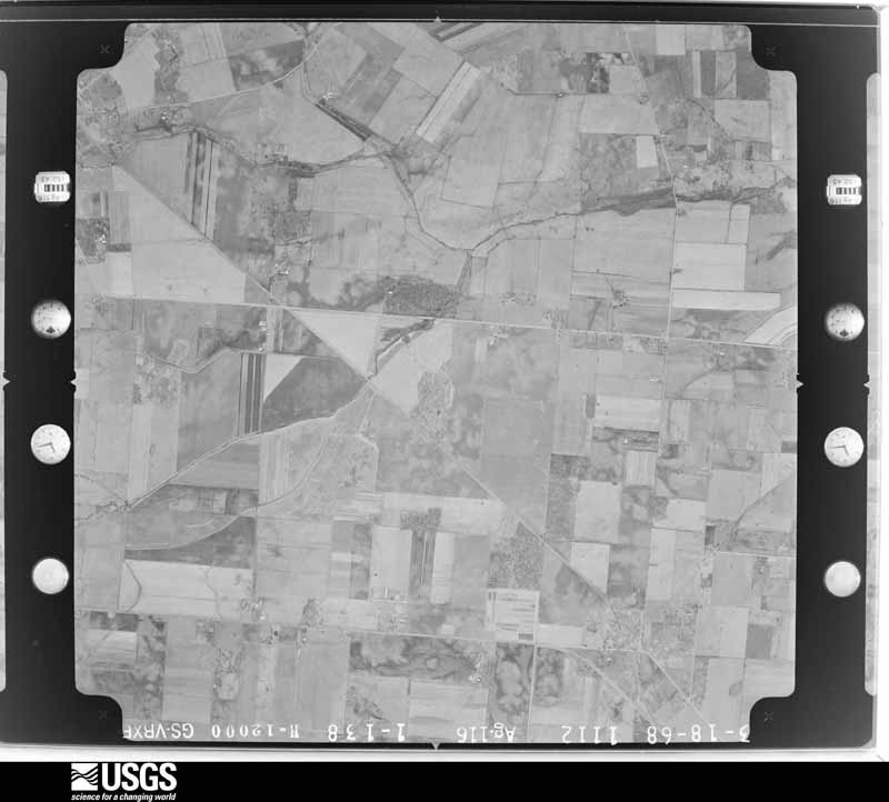
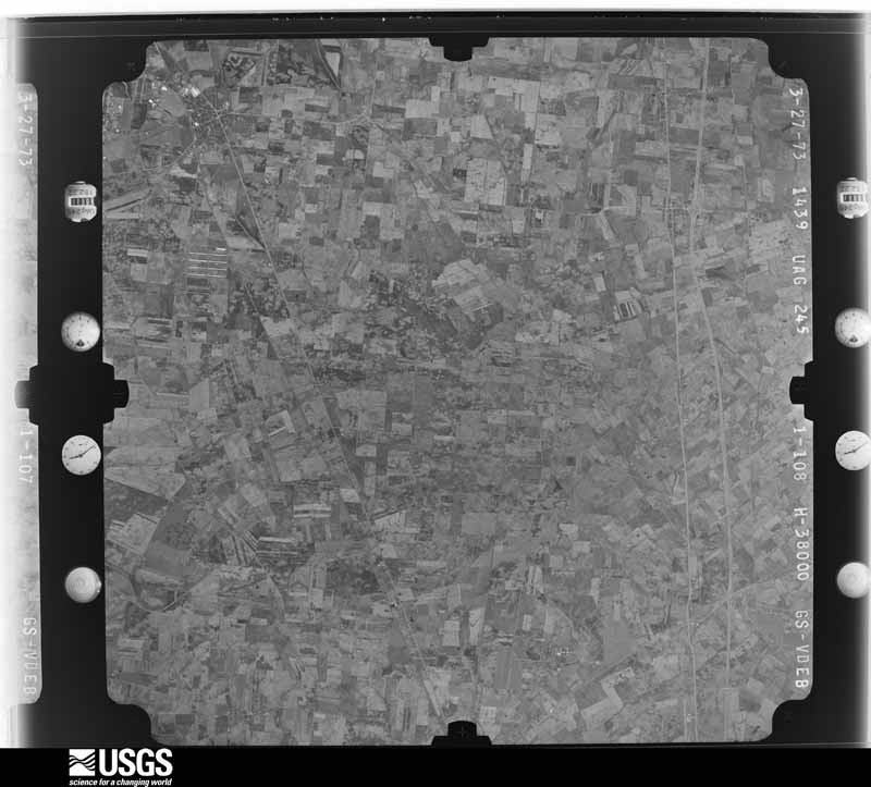
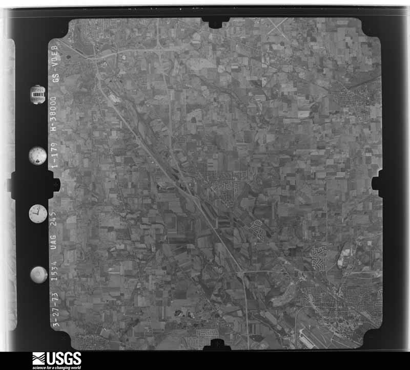
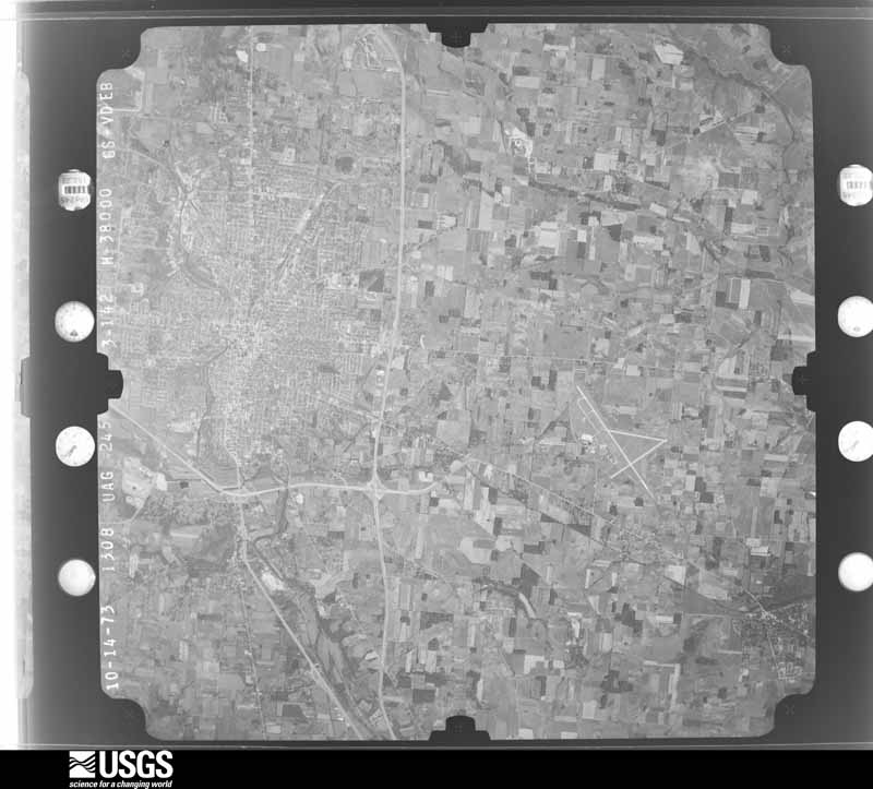
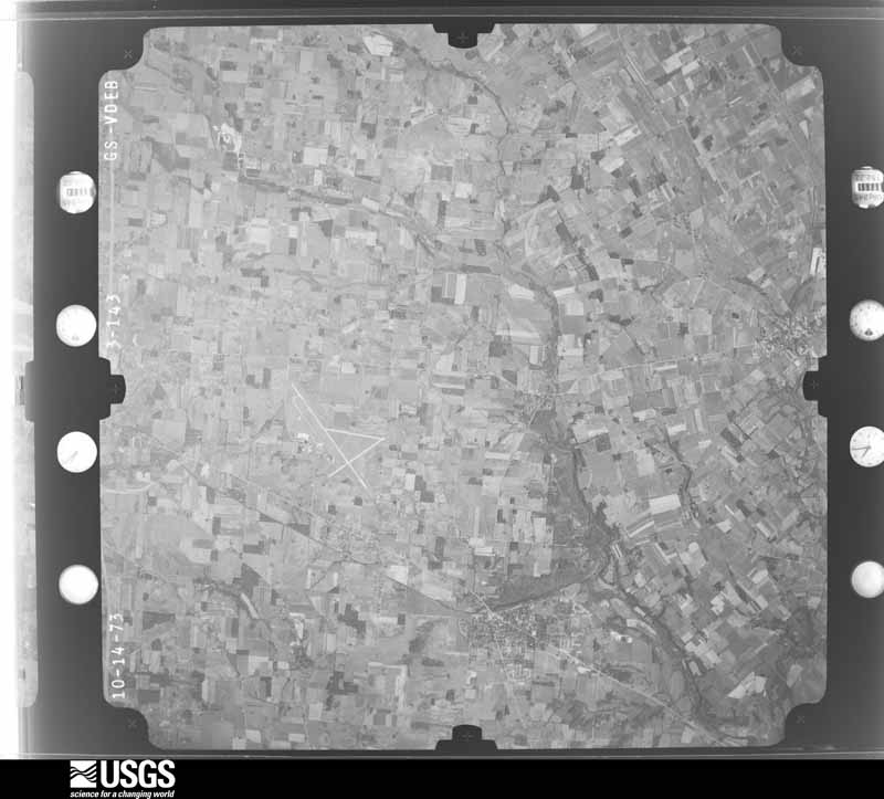
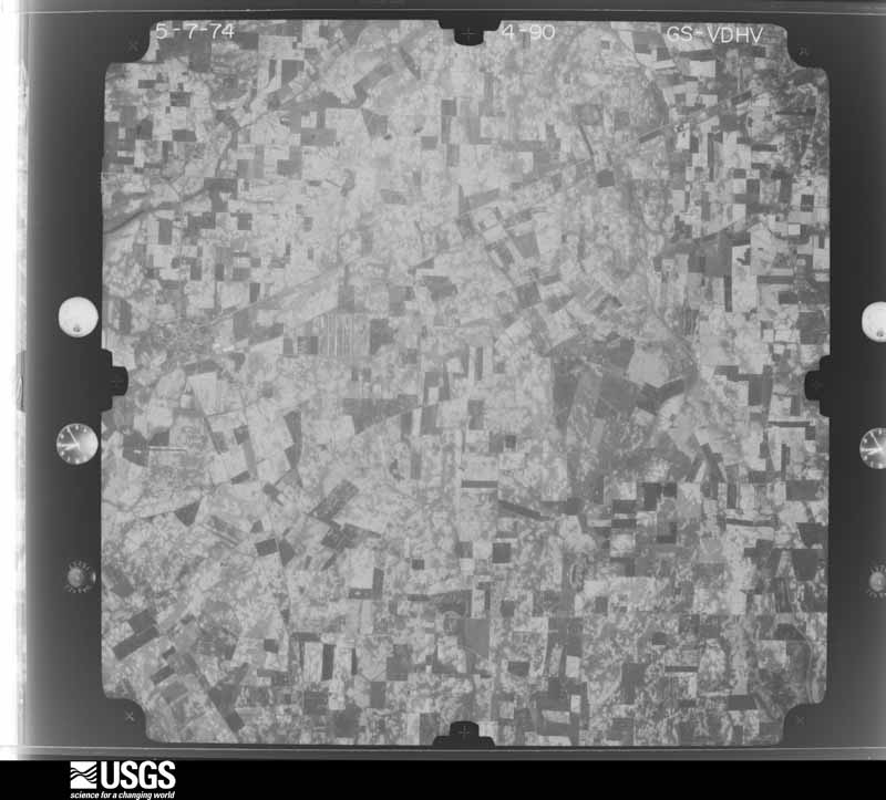
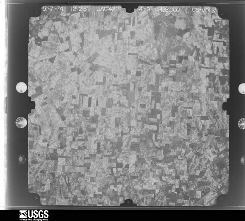
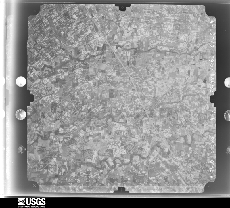
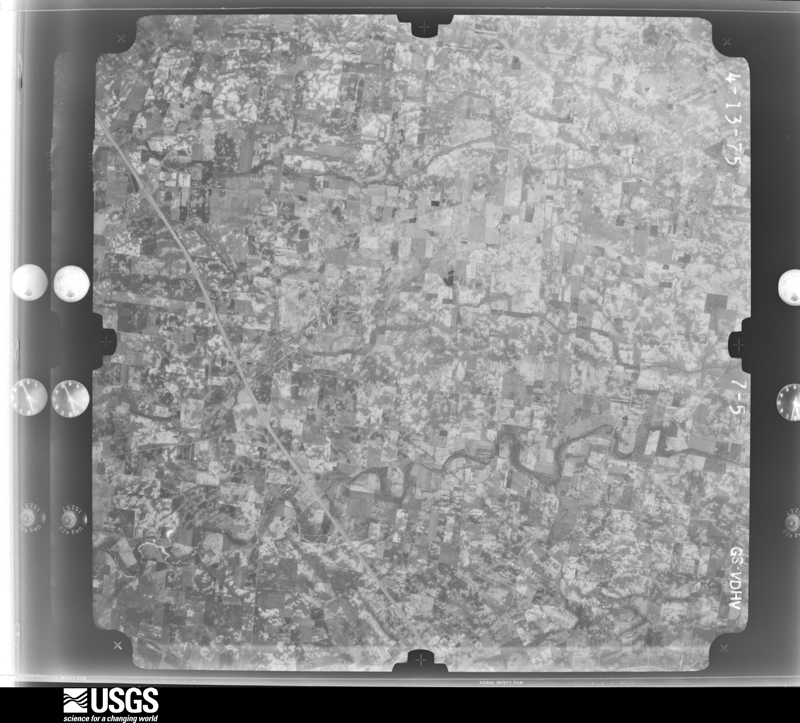
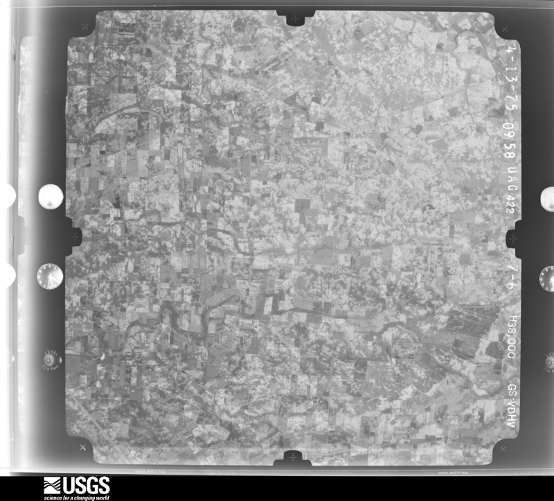
Flown by the U.S. Geological Survey between 1937 and 1989, the Aerial Photo Single Frames collection is the definitive mid-century view of the land: fields, roads and rivers as the camera saw them. 454 frames touch this county; the selection below spreads across the decades of flights (at most four per year), so one flight cannot crowd out the rest. The full set is free to browse and download at EarthExplorer under the dataset Aerial Photo Single Frames.

U.S. Geological Survey aerial photograph, 1948-09-01, scale 1:67634
1948-09-01, scale 1:67634. U.S. Geological Survey aerial photograph.
U.S. Geological Survey aerial photograph, 1948-09-01, scale 1:67634
1948-09-01, scale 1:67634. U.S. Geological Survey aerial photograph.
U.S. Geological Survey aerial photograph, 1948-09-01, scale 1:67634
1948-09-01, scale 1:67634. U.S. Geological Survey aerial photograph.
U.S. Geological Survey aerial photograph, 1948-09-01, scale 1:67634
1948-09-01, scale 1:67634. U.S. Geological Survey aerial photograph.
U.S. Geological Survey aerial photograph, 1952-08-01, scale 1:69000
1952-08-01, scale 1:69000. U.S. Geological Survey aerial photograph.
U.S. Geological Survey aerial photograph, 1952-08-01, scale 1:69000
1952-08-01, scale 1:69000. U.S. Geological Survey aerial photograph.
U.S. Geological Survey aerial photograph, 1952-08-01, scale 1:69000
1952-08-01, scale 1:69000. U.S. Geological Survey aerial photograph.
U.S. Geological Survey aerial photograph, 1952-08-01, scale 1:69000
1952-08-01, scale 1:69000. U.S. Geological Survey aerial photograph.
U.S. Geological Survey aerial photograph, 1960-04-07, scale 1:24000
1960-04-07, scale 1:24000. U.S. Geological Survey aerial photograph.
U.S. Geological Survey aerial photograph, 1960-04-07, scale 1:24000
1960-04-07, scale 1:24000. U.S. Geological Survey aerial photograph.
U.S. Geological Survey aerial photograph, 1960-04-07, scale 1:24000
1960-04-07, scale 1:24000. U.S. Geological Survey aerial photograph.
U.S. Geological Survey aerial photograph, 1960-04-07, scale 1:24000
1960-04-07, scale 1:24000. U.S. Geological Survey aerial photograph.
U.S. Geological Survey aerial photograph, 1962-09-21, scale 1:25998
1962-09-21, scale 1:25998. U.S. Geological Survey aerial photograph.
U.S. Geological Survey aerial photograph, 1962-09-21, scale 1:25998
1962-09-21, scale 1:25998. U.S. Geological Survey aerial photograph.
U.S. Geological Survey aerial photograph, 1962-09-21, scale 1:25998
1962-09-21, scale 1:25998. U.S. Geological Survey aerial photograph.
U.S. Geological Survey aerial photograph, 1962-09-21, scale 1:25153
1962-09-21, scale 1:25153. U.S. Geological Survey aerial photograph.
U.S. Geological Survey aerial photograph, 1964-04-15, scale 1:24000
1964-04-15, scale 1:24000. U.S. Geological Survey aerial photograph.
U.S. Geological Survey aerial photograph, 1964-04-15, scale 1:24000
1964-04-15, scale 1:24000. U.S. Geological Survey aerial photograph.
U.S. Geological Survey aerial photograph, 1964-04-15, scale 1:24000
1964-04-15, scale 1:24000. U.S. Geological Survey aerial photograph.
U.S. Geological Survey aerial photograph, 1964-04-15, scale 1:24000
1964-04-15, scale 1:24000. U.S. Geological Survey aerial photograph.
U.S. Geological Survey aerial photograph, 1967-12-19, scale 1:24000
1967-12-19, scale 1:24000. U.S. Geological Survey aerial photograph.
U.S. Geological Survey aerial photograph, 1967-12-19, scale 1:24000
1967-12-19, scale 1:24000. U.S. Geological Survey aerial photograph.
U.S. Geological Survey aerial photograph, 1967-12-19, scale 1:24000
1967-12-19, scale 1:24000. U.S. Geological Survey aerial photograph.
U.S. Geological Survey aerial photograph, 1967-12-19, scale 1:24000
1967-12-19, scale 1:24000. U.S. Geological Survey aerial photograph.
U.S. Geological Survey aerial photograph, 1968-03-18, scale 1:24000
1968-03-18, scale 1:24000. U.S. Geological Survey aerial photograph.
U.S. Geological Survey aerial photograph, 1968-03-18, scale 1:24000
1968-03-18, scale 1:24000. U.S. Geological Survey aerial photograph.
U.S. Geological Survey aerial photograph, 1968-03-18, scale 1:24000
1968-03-18, scale 1:24000. U.S. Geological Survey aerial photograph.
U.S. Geological Survey aerial photograph, 1968-03-18, scale 1:24000
1968-03-18, scale 1:24000. U.S. Geological Survey aerial photograph.
U.S. Geological Survey aerial photograph, 1973-10-01, scale 1:76000
1973-10-01, scale 1:76000. U.S. Geological Survey aerial photograph.
U.S. Geological Survey aerial photograph, 1973-10-01, scale 1:76000
1973-10-01, scale 1:76000. U.S. Geological Survey aerial photograph.
U.S. Geological Survey aerial photograph, 1973-10-01, scale 1:76000
1973-10-01, scale 1:76000. U.S. Geological Survey aerial photograph.
U.S. Geological Survey aerial photograph, 1973-10-01, scale 1:76000
1973-10-01, scale 1:76000. U.S. Geological Survey aerial photograph.
U.S. Geological Survey aerial photograph, 1974-05-01, scale 1:76000
1974-05-01, scale 1:76000. U.S. Geological Survey aerial photograph.
U.S. Geological Survey aerial photograph, 1974-05-01, scale 1:76000
1974-05-01, scale 1:76000. U.S. Geological Survey aerial photograph.
U.S. Geological Survey aerial photograph, 1974-05-01, scale 1:76000
1974-05-01, scale 1:76000. U.S. Geological Survey aerial photograph.
U.S. Geological Survey aerial photograph, 1974-05-01, scale 1:76000
1974-05-01, scale 1:76000. U.S. Geological Survey aerial photograph.
U.S. Geological Survey aerial photograph, 1975-04-13, scale 1:76000
1975-04-13, scale 1:76000. U.S. Geological Survey aerial photograph.
U.S. Geological Survey aerial photograph, 1975-04-13, scale 1:76000
1975-04-13, scale 1:76000. U.S. Geological Survey aerial photograph.
U.S. Geological Survey aerial photograph, 1975-04-13, scale 1:76000
1975-04-13, scale 1:76000. U.S. Geological Survey aerial photograph.
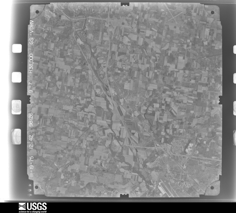
U.S. Geological Survey aerial photograph, 1975-11-19, scale 1:76000
1975-11-19, scale 1:76000. U.S. Geological Survey aerial photograph.
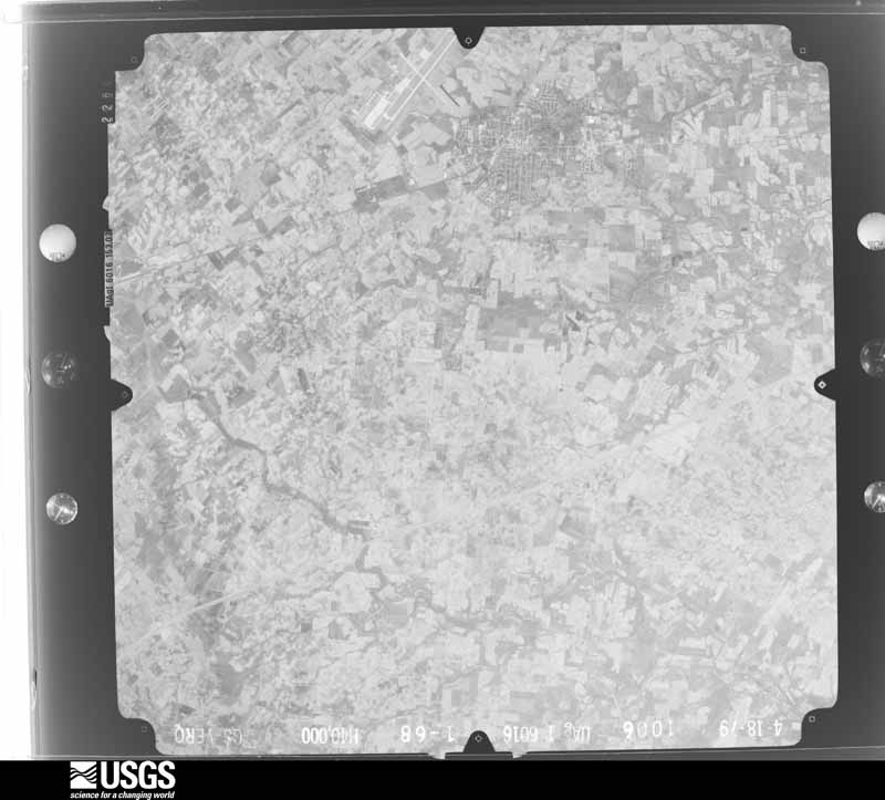
U.S. Geological Survey aerial photograph, 1979-11-01, scale 1:80000
1979-11-01, scale 1:80000. U.S. Geological Survey aerial photograph.
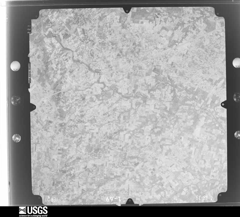
U.S. Geological Survey aerial photograph, 1979-11-01, scale 1:80000
1979-11-01, scale 1:80000. U.S. Geological Survey aerial photograph.
U.S. Geological Survey aerial photograph, 1979-11-01, scale 1:80000
1979-11-01, scale 1:80000. U.S. Geological Survey aerial photograph.
U.S. Geological Survey aerial photograph, 1979-11-01, scale 1:80000
1979-11-01, scale 1:80000. U.S. Geological Survey aerial photograph.

City directories

1 volume

The "who lived here, by year" answer: pre-1929 public-domain directory volumes naming the county's people, machine-read and searchable as text.

Weather records

43 stations, 25 gages

The thermometers that kept this county's weather, and the gages that watched its rivers, as the federal records hold them. The extremes below are measured values from those records, not estimates.

The 1950 census, district by district

69 districts

Who lived here in 1950, one enumeration district at a time, as the Census Bureau described each district. Each row opens its official National Archives result, with Population Schedules and ED Maps available there.

  • 29-1Bath township: Fairborn city: Fairborn city - That part (Tract GC - 80 - part) Bounded by City limits; Central Ave.; Xenia; Dayton, City limits
  • 29-2Fairborn city - That part (Tract GC - 80 - part) Bounded by City limits; Dayton, Xenia, Second; Middle; City limits
  • 29-3Fairborn city - That part (Tract GC - 80 - part) Bounded by Xenia; Wright Ave.; South; Second
  • 29-4Fairborn city - That part (Tract GC - 80 - part) Bounded by Middle; Second, Clover, Dayton; City limits; City limits
  • 29-5Fairborn city - That part (Tract GC - 80 - part) Bounded by Clover; Second; City limits; City limits, Dayton
  • 29-6Fairborn city - That part (Tract GC - 80 - part) Bounded by South; Wright Ave.; City limits; Second
  • 29-7Fairborn city - That part (Tract GC - 80 - part) Bounded by City limits; City limits; Xenia Dr., Dayton Dr., Mann Ave.; Maple Ave.
  • 29-8Fairborn city - That part (Tract GC - 80 - part) Bounded by City limits; Maple Ave.; Hebble Ave.; Central
  • 29-9Fairborn city - That part (Tract GC - 80 - part) Bounded by Hebble Ave.; Maple Ave.; Main; Wright Ave., Xenia Dr., Central Ave.
  • 29-10Fairborn city - That part (Tract GC - 80 - part) Bounded by Mann Ave., Dayton Dr., Xenia Dr., City limits; City limits; City limits; Central Ave., Main, Maple Ave.
  • 29-11Fairborn city - That part (Tract GC - 80 - part) Bounded by Main; Central Ave.; City limits; Wright Ave.
  • 29-12Bath township - That part (Tract GC - 79 - part) Bounded by County line; Township line; Township line; Barr Rd., (Old Yellow Springs Rd.), Zimmerman Rd. (Bellbrook - Fairfield Rd.), Funderburgh Rd., Superior Ave., Byron - Yellow Springs Rd., Byron Rd., Fairborn city limits, Property line of Wright - Patterson Air Force Base (Main Area)
  • 29-13Bath township - That part (Tract GC - 79 - part) Bounded by County line; Property line of Wright - Patterson Air Force Base (Main Area); State Hwy. 235, State Hwy. 69; Fishburg Rd.
  • 29-14Bath township - That part (Tract GC - 79 - part) Bounded by Fishburg Rd.; Fishburg Rd., State Hwy. 69, Huffman Dam Rd.; New York Central Railroad; County line
  • 29-15Bath township - That part (Tract GC - 79 - part) Bounded by Fairborn city limits, Byron Rd.; Byron Rd.; High extended, High, High extended; Property line of Wright - Patterson Air Force Base (Main Area)
  • 29-16Bath township - That part (Tract GC - 79 - part) Bounded by High, High extended; Byron Rd.; Byron - Yellow Springs Rd.; Property line of Wright - Patterson Air Force Base (Main Area), Vine extended, Vine, Willey Ave.
  • 29-17Bath township - That part (Tract GC - 79 - part) Bounded by High extended, High; Willey Ave.; Vine, Vine extended; Property line of Wright - Patterson Air Force Base (Main Area)
  • 29-18Bath township - That part (Tract GC - 79 - part) Bounded by Byron - Yellow Springs Rd.; Superior Ave.; Funderburgh Rd.; Montgomery Ave., Montgomery Ave. extended, New York Central Railroad
  • 29-19Bath township - That part (Tract GC - 79 - part) excluding Wright - Patterson Air Force Base (part) (three separate areas) Bounded by Property line of Wright - Patterson Air Force Base (Main Area); Byron - Yellow Springs Rd., New York Central Railroad, , Montgomery Ave. extended, Montgomery Ave., Funderburgh Rd., Zimmerman Rd. (Bellbrook - Fairfield Rd.); Barr Rd. (Old Yellow Springs Rd.), Township line; Huffman Dam Rd., Property line of Wright - Patterson Air Force Base (Non - Contiguous Area), County line, New York Central Railroad, Huffman Dam Rd., State Hwy. 69
  • 29-20AWright - Patterson Air Force Base - That part in Bath township north of State Hwy. 4
  • 29-20BWright - Patterson Air Force Base - That part in Bath township south of State Hwy. 4, including three non - contiguous areas (Remainder of Wright - Patterson Air Force Base is in Beaver Creek township, Greene Co. and Mad River township, Montgomery Co.
  • 29-21Beaver Creek township: Knollwood, unincorporated (Tract GC - 81 - part) (See boundaries shown on Aerial photo DQ - 2A - 7)
  • 29-22Beaver Creek township - That part (Tract GC - 81 - part) north of Pennsylvania Railroad, south of Kemp Rd. and east of Bellbrook - Fairfield Rd., outside Knollwood, unincorporated (See aerial photo DQ - 2A - 7 for boundaries of Knollwood)
  • 29-23Beaver Creek township - That part (Tract GC - 81 - part) north of Kemp Rd. and west of Bellbrook - Fairfield Rd., excluding Wright - Patterson Air Force Base (part)
  • 29-24Wright - Patterson Air Force Base - That part (Tract GC - 78 - part) in Beaver Creek township (Remainder of Wright - Patterson Air Force Base is in Bath township, Greene County and Mad River township, Montgomery County)
  • 29-25Beaver Creek township - That part (Tract GC - 81 - part) south of Pennsylvania Railroad, excluding Mt. St. John Normal School
  • 29-26Mt. St. John Normal School (Tract GC - 81 - part) (In Beaver Creek township)
  • 29-27Caesar Creek township
  • 29-28Cedarville township: Cedarville village: Cedarville village - That part north of Massie Creek and South Fork of Massie Creek
  • 29-29Cedarville village - That part south of Massie Creek and South Fork of Massie Creek
  • 29-30Cedarville township - That part outside Cedarville village
  • 29-31Jefferson township: Bowersville village
  • 29-32Jefferson township - That part outside Bowersville village
  • 29-33Miami township: Clifton village - That part in Greene County comprising part of Miami township (Remainder of Clifton village is in Greene township, Clark County)
  • 29-34Yellow Springs village Yellow Springs village - That part Bounded by Village limits; Village limits; Dayton; Village limits
  • 29-35Yellow Spring village - That part Bounded by Dayton; Xenia Ave.; N. College, N. College extended; Village limits
  • 29-36Yellow Springs village - That part Bounded by Dayton; Village limits; Village limits; Livermore, College, Xenia Ave.
  • 29-37Yellow Springs village - That part Bounded by N. College extended, N. College; Livermore; Village limits; Village limits
  • 29-38Miami township - That part outside Clifton and Yellow Springs villages
  • 29-39New Jasper township
  • 29-40Ross township
  • 29-41Silver Creek township: Jamestown village: Jamestown village - That part north of Xenia Pike and Washington
  • 29-42Jamestown village - That part south of Xenia Pike and Washington
  • 29-43Silver Creek township - That part outside Jamestown village, excluding Radio Landing Station
  • 29-44Radio Landing Station (Under jurisdiction of Clinton County Air Force Base) (In Silver Creek township)
  • 29-45Spring Valley township: Spring Valley village
  • 29-46Spring Valley township - That part outside Spring Valley village
  • 29-47Sugar Creek township: Bellbrook village
  • 29-48Sugar Creek township - That part outside Bellbrook village
  • 29-49Xenia township: Xenia city: Xenia city - That part of Ward 1 Bounded by City limits; City Limits, Detroit; Union, West, Towler; City limits
  • 29-50Xenia city - That part of Ward 1 Bounded by Towler, West, Union; King, Shawnee, Galloway, Branch, West; Main; Dayton Ave., City limits
  • 29-51Xenia city - That part of Ward 1 Bounded by Dayton Ave., Main; West; 2nd; City limits
  • 29-52Xenia city - That part of Ward 1 Bounded by 2nd; West, Cincinnati Ave.; Pennsylvania Railroad; City limits
  • 29-53Xenia city - That part of Ward 1 Bounded by Cincinnati Ave.; West, Ward line, S. Miami Ave., High, Linn, Ward line; City limits; Pennsylvania Railroad
  • 29-54Xenia city - That part of Ward 2 Bounded by Branch, Galloway, Shawnee, King, Union; Detroit; Market; West
  • 29-55Xenia city - That part of Ward 2 Bounded by Market; Detroit; 3rd; West
  • 29-56Xenia city - That part of Ward 2 Bounded by 3rd; Detroit; City Limits; Ward line, Linn, High, S. Miami Ave., Ward line, West
  • 29-57Xenia city - That part of Ward 3 Bounded by City limits; Columbus Pike, Church, Leach; Main; Detroit
  • 29-58Xenia city - That part of Ward 3 Bounded by Main; Leach, 3rd, Columbus; Pennsylvania Railroad; Detroit
  • 29-59Xenia city - That part of Ward 3 Bounded by Pennsylvania Railroad; City limits; City limits; City limits, Home Ave., Detroit
  • 29-60Xenia city - That part of Ward 3 Bounded by Home Ave.; City limits; City limits; City limits, Detroit
  • 29-61Xenia city - That part of Ward 4 Bounded by Columbus Pike; City limits; Main; Williams, Church, Taylor, Lexington Ave.
  • 29-62Xenia city - That part of Ward 4 Bounded by Columbus Pike, Lexington Ave.; Taylor, Church, Williams; Main; Leach, Church
  • 29-63Xenia city - That part of Ward 4 Bounded by Main; City limits; City limits, Pittsburgh, Cincinnati, Chicago and St. Louis Railroad; Columbus, 3rd, Leach
  • 29-64Xenia township - That part north of Massie Creek and Little Miami River
  • 29-65BN/A
  • 29-65AN/A
  • 29-66Xenia township - That part south of U.S. Hwy. 35, outside Xenia city, and excluding Soldiers and Sailors Orphans Home and Hospital
  • 29-67Soldiers and Sailors Orphans Home and Hospital (In Xenia township)

Businesses named in the atlases

46 businesses

Every Sanborn volume opens with a printed index naming the town's mills, tanneries, hotels and works by proprietor. Those indexes were read off the scanned sheets by machine and then matched to each other, so a business surveyed four times appears here once, with the years it survived. 12 of these 46 were named in more than one atlas. Each carries a crop of the line it was read from: the spelling is the recogniser's and the 1880s lithographer's, and the scan behind it is the proof.

Wildfire, 2002 to 2009

2 fires

Every wildfire the federal occurrence database records inside this county: 2 of them, burning about 4 acres. 0 started naturally and 0 were recorded as arson. Each settlement page carries the fires within five miles of it.

Reported cause Fires
Debris and open burning1
Recreation and ceremony1

The five largest, by the area the report gives. None of them was recorded as arson.

DateCause SizeReported by Name on the report
21 February 2009Debris and open burning3.5 acresOhio Department of Natural Resourcesnot named
11 July 2002Recreation and ceremonyunder an acreOhio State Fire Marshal's Officenot named

Every settlement page carries the fires within five miles of it - see the settlement index below.

Storms, 1955 to 2026

60 of 577 shown

The NOAA Storm Events Database holds 577 reports for this county, causing 37 deaths, 1277 injuries and about $323,049,557 in recorded property damage. Each settlement page carries the reports that name it.

Kind of event Reports
Thunderstorm Wind306
Hail165
Flood45
Flash Flood28
Tornado25
Heavy Rain7
Funnel Cloud1

The most serious of them, by death, then injury, then recorded damage. The accounts are quoted exactly as the forecast office filed them.

WhenEvent Place namedHarm What the report says
April 1974Tornado (F5)not stated36 killed, 1150 hurt, $250,000,000no account filed
September 2000Tornado (F4)Xenia1 killed, 100 hurt, $15,000,000A violent tornado that moved at 65 mph hit the town of Xenia for the second time in 26 years damaging some of the same areas that were hit in 1974. Along the path of the tornado, around 250 homes were either damaged or destroyed, over 40 businesses were damaged or destroyed including the local Wal Mart, Kroger, and Tire Discounters, and 6 churches were damaged. A strip mall was nearly destroyed, cars were thrown from the Highway 35 bypass into ditches, 4 semi-trailers were thrown up to 400 yards, and most of the buildings were damaged or destroyed at the Greene county fairgrounds. In Sugarcreek Township, which is to the southwest of Xenia, an additional 14 houses and 3 barns were damaged and some crops were destroyed on a narrow path. Over 10,000 residents were without power for at least 1 day.
April 1989Tornado (F2)not stated16 hurt, $2,500,000no account filed
May 1969Tornado (F3)not stated6 hurt, $250no account filed
October 1966Tornado (F2)not stated3 hurt, $250,000no account filed
May 2015Tornado (EF1)Country Acres2 hurt, $750,000The tornado initially touched down at the Greene Crossing Shopping Center on Indian Ripple Road. At least 5 cars were lifted and rolled, with 2 injuries occurring in 2 of the vehicles that were rolled. As many as 22 cars in the parking lot at Greene Crossing Shopping Center were damaged with most of the damage being blown out windows.||Additional roof, window and awning damage occurred to a restaurant building as well as to the strip mall within the shopping center. The most significant damage was shattered windows and a partial collapse of a brick roof facade at Fitworks, along with a rooftop HVAC unit being pushed off of the roof. The damage was consistent with 100 to 105 mph winds. ||Damage continued into the subdivision to the northeast of the Greene Crossing Shopping Center where numerous trees were downed and several homes suffered roof damage. While there was additional storm damage in the subdivisions east of Interstate 675, the damage there appeared to be non-tornadic.
May 2019Tornado (EF3)New Germany$50,000,000The tornado first touched down in Riverside in far eastern Montgomery County at 2212EST before quickly moving into western Greene County at 2213EST. The tornado continued to move east across western and central Greene County before lifting along U.S. 68, about 5 miles north of Xenia.||There were two locations along the track of this tornado in the Beavercreek area where damage was indicative of EF3 intensity. The first was in the vicinity of I-675 and Grange Hall Road. Several homes along Rushton Drive had entire roofs lifted, as well as the collapse of several exterior walls with only interior walls left standing. Additional homes along Gardenview and Wendover Drives experienced high-end EF2 damage with windows shattered, garage doors collapsed and entire roof structures removed.||Additional EF3 damage occurred in Beavercreek near Anna Laura Lane. In this area, some buildings of an apartment complex had large sections of roofs removed and exterior walls on upper levels collapsed, leaving just interior walls standing. ||Most of the damage from near Grange Hall road eastward to businesses near North Fairfield Road was EF2 to EF1 type damage, where some concrete block businesses had partially collapsed walls and roof lift off.||Much of the tornado path occurred from roughly 0.5 miles north of Kemp Road to within 0.1 miles south of Kemp Road, within the limits of Beavercreek. As the tornado moved east-southeast into Beavercreek township, the damage became more consistent with EF0, to occasionally lower-end EF1, damage. This included damage along Fairground, Beaver Valley and Ludlow Roads. The tornado damage ended just to the east of U.S. 68 in Xenia Township, where roof and tree damage occurred just north of Clifton Road. This was also consistent with high-end EF0 to low-end EF1 damage.
February 2024Tornado (EF1)New Germany$500,000The tornado initially touched down at 0437EST in far northeast Montgomery County, near the intersection of Mitchell Drive and Spinning Road. The tornado moved quickly east-northeast and entered Greene County, just past Airway Road as it moved into the far southern portions of Wright-Patterson Air Force Base at 0438EST. ||A restoration hangar at Wright-Patterson Air Force Base received minor structural damage with sheet metal ripped off. Some planes that were in the process of being restored also suffered damage due to flying debris. This damage was notable enough to warrant EF1 strength winds of around 100 mph. Additional damage occurred along Loop Road, where guard rails were bent and several hardwood trees were broken and snapped. A few of the dwellings on the eastern side of the base had damage to the roofs as shingles were ripped off. ||More residential damage was observed just east of the base, with quite a bit of shingles lost on the roof of an apartment complex, just behind a grocery store. Based on the damage, the tornado weakened as it traveled further eastward from this point, with mainly tree damage observed. The last bit of tree damage was found near University Boulevard, just west of the Student Union at Wright State University.
April 2018Tornado (EF1)Bryon$500,000The tornado first touched down in the 1000 block of Ludlow Road in Beavercreek Township. One barn on the property had roof damage, while the other barn had wall damage. In addition, a silo collapsed. Numerous hardwood and softwood trees were damaged and there was roof and chimney damage to the home. This damage was consistent with low end EF1/high end EF0 damage, with wind estimated at 85 to 90 mph.||Several properties further east along Ludlow Road sustained damage. The most significant being in the 800 block, where a home sustained more than 30 percent of its roof torn off, multiple broken windows, and structural damage to both the exterior and interior walls of the home. Damage to the home was consistent with wind speeds of 90 to 95 mph, EF1 category. Additional significant barn and tree damage occurred on the property.||Further east on Ludlow Road, in the 700 to 500 block, several homes sustained roof damage, with significant damage to barns. Such damage was consistent with high end EF0 damage of 75 to 80 mph.||The tornado continued eastward in the 2400 North Block of U.S. 68. A home received minor siding and roof damage as well as a collapsed chimney, with a fence also destroyed. A large camper was rolled over and the roof was lifted off a brick outbuilding. Damage to this property was consistent with EF1 strength of near 90 mph.||Further east along Clifton Road, structural damage occurred to barns along with roof and porch damage to homes in the 700 and 800 block of Clifton Road. Damage in this area was consistent with EF0 damage of about 75 mph.||Damage became more significant further northeast along Clifton Road, where substantial damage occurred to several barns, along with snapped softwood and hardwood trees. In addition, significant roof and siding damage was present on the residences of two homes in the 2400 block of Clifton Road. Damage here was consistent with low end EF1 between 86 and 90 mph. A sheep farm in this area did experience the loss of five sheep.||The northern most extent of confirmed tornado damage was along State Route 72 and Clifton Road. While there was widespread tree and roof damage along Wilberforce-Clifton Road and State Route 72 south of Clifton, this damage was all in the same direction to the north-northeast, without substantial evidence of back-splatter as associated with rotation. While the wind damage was significant in this area, estimated to be as high as 80 mph, this damage was more consistent with straight line wind damage.

May 2014Tornado (EF3)Xenia Port Xenia Arp$500,000The tornado initially touched down in a field just west of Stringtown Road, where minor tree damage occurred. Damage in this area was consistent with wind speeds around 75 miles per hour. The tornado continued across Highway 35 and Federal Road, where a farmstead was struck. A barn at this location sustained heavy damage, with much of the roof being removed as well as some wall failure. Wind speeds at this location were estimated to be around 85 miles per hour. |The tornado then crossed Highway 72 and damaged a property heavily. At this location, several fences and outbuildings were completely destroyed. The residential home had windows blown out and significant roof damage. Roof damage was also seen on nearby barns, and several large trees on the property were snapped off and broken. A trailer was also tipped over. Wind speeds at that location were estimated to be around 105 miles per hour. ||On nearby Turnbull Road near a stone quarry, the tornado heavily damaged another property. Here, a detached garage was completely destroyed. A small pickup was briefly lifted and dragged from its location in the garage to the middle of a field about 75 yards away. Significant roof damage was found to the home at the property, with numerous uprooted trees. A lawn tractor was thrown and deposited several hundred yards away. A convergent pattern in the field debris and bean stubble just to the south of this property showed the path of the actual tornado. Wind speeds at this location were estimated to be 125 miles per hour. ||The tornado then crossed the stone quarry and intensified, hitting a farmstead on barrier road directly. Here, complete loss of a residential home built in the 1880s was observed. All exterior walls failed and the home collapsed, which led to very little interior wall integrity remaining. A close inspection of the foundation found very little reinforcement for the exterior walls. Healthy hardwood trees were debarked and reduced to trunks with only stubs of large branches remaining. Several large grain silos were completely lifted and thrown well downstream up to a half mile away. Based on damage surveyed at this location, the maximum estimated wind speed of this tornado was 145 miles per hour. The tornado then hit another residence on Barber Road, where portions of the exterior walls were removed as well as the roof. Extensive mud spatter covered all four sides of the residence. ||From there, the tornado weakened considerably as it moved parallel to Townsley Road and debris from upstream locations covered farm fields as it fell out of the weakening circulation. A barn on Townsley Road suffered minor roof damage, with winds estimated here at 80 miles per hour. The tornado then weakened further and lifted very close to the Greene and Clark County line.
May 1982Tornado (F1)not stated$250,000no account filed
August 1980Tornado (F1)not stated$250,000no account filed
April 1963Tornado (F2)not stated$250,000no account filed
February 1956Tornado (F2)not stated$250,000no account filed
May 2019Tornado (EF0)Jamestown$200,000The beginning of this tornado is believed to have occurred along South Charleston Road where homes on both sides of the road had multiple large hardwood trees snapped. One residence also had a shed completely destroyed and metal from the shed was blown into the field.||On the next road east across the field, on Rogers Road, the most significant damage from the tornado was observed. The second story of one home had much of its roof removed and had multiple interior walls collapsed. Tree damage was also significant at this property as well as at nearby residences on Rogers Road.||Further east, at a property along Watkins Road, a roof was ripped off of a barn, with a shed completely destroyed. A bit further to the east, along Sheley Road, a home and garage had siding removed. Several hardwood trees were snapped in this area as well. A barn roof was also removed south of the intersection of Sheley and Rogers Road. Windows were also blown out at another property along Sheley Road. No further damage was observed to the east of Sheley Road.
June 1996Thunderstorm WindBeavercreek$160,000no account filed
June 2021Flash FloodSpring Vly$50,000Several roads were flooded in Sugar Creek Township. Engle Mill, Cornstalk, and Cook Roads all had washouts and were impassable.
May 2019Tornado (EF1)Grape Grove$50,000This tornado appears to have begun on Lackey Road, where the first visible signs of tree damage were observed. The tornado is believed to have then moved across the field between Lackey Road and South Charleston Road.||Damage was next observed on Paullin Road, where one residence had minor structural damage with some roof and siding removed. Additionally, multiple large tree limbs were downed in the vicinity. There was also a power pole that was knocked down along Paullin Road. Evidence of a tornadic circulation could be seen in the field to the southeast of Paullin Road.||The most significant damage from this tornado occurred along Watkins Road, where splatter of mud, dirt and insulation were observed on all sides of a residence. Several windows were blown in, with some roof and siding damage observed on multiple sides of the home. The carport was also destroyed. Damage at this residence was consistent with EF1 tornadic damage. The tornado then continued east, crossing into Fayette County at 2255EST, about 4 mile northeast of Jamestown. The tornado then came to an end at 2257EST, about 1.3 miles north-northwest of Pleasant View.
May 2015Thunderstorm WindZimmerman$50,000Several trees were downed and minor roof damage occurred to homes along Grange Hall Road.
May 2001Flash FloodCountywide$50,000Numerous roads were closed across the county due to heavy rainfall. A bridge was washed out 3 miles southwest of Jamestown.
July 2000Thunderstorm WindFairborn$50,000Thunderstorm winds knocked down numerous trees. Two of the trees fell on homes in Fairborn causing major damage to one home.
July 1997Tornado (F2)New Jasper$50,000A brief tornado developed in the apex of a bow echo that moved across the county. A house was blown off its foundation and moved 35 feet away.
June 1994Thunderstorm WindEast half$50,000Trees were downed in sveral locations, some on power lines. At least one falling tree damaged a house.
August 1994Thunderstorm WindE Portion$50,000Trees were downed in several locations including Bellebrook.
June 1994Thunderstorm WindBellbrook$50,000no account filed
June 2022Thunderstorm WindPogue Corners$30,000Several trees and power lines were downed across southern Greene County.
May 2011Thunderstorm WindBowersville$30,000Multiple telephone poles were snapped, many trees were down, and a barn suffered excessive roof damage due to damaging thunderstorm winds.
May 2004HailXenia$30,000Seven trees were also downed along Home Avenue on the south side of town.
March 2020Flash FloodBelleview Acres$25,000A portion of Belleview Drive was washed out.
April 2018Thunderstorm WindYellow Spgs$25,000There was widespread tree and roof damage along Wilberforce-Clifton Road and State Route 72 south of Clifton.
August 2000Thunderstorm WindFairborn$25,000Numerous trees and power lines were knocked down at several locations across the county. Some of the trees fell across roads in Xenia.
April 1965Tornado (F1)not stated$25,000no account filed
June 1964Tornado (F1)not stated$25,000no account filed
June 2021Flash FloodPogue Corners$20,000Vehicles became stuck in rising water on Roxanna New Burlington Road.
May 2011Thunderstorm WindBeavercreek$20,000Part of the roof of a restaurant was blown off and multiple trees were snapped or uprooted due to damaging thunderstorm winds. One tree fell onto a house and another tree fell onto power lines due to the winds.
April 2006Thunderstorm WindCedarville$20,000A house and barn sustained significant damage on a farm along State Route 72. The house had part of its roof torn off and a hole in the siding.
May 2004Thunderstorm WindBowersville$20,000A home on Hargrave Road sustained minor roof damage, and a livestock barn collapsed due to the high winds. Penny size hail also occurred.
July 1997Thunderstorm WindCountywide$20,000Numerous trees downed.
July 1995Thunderstorm WindCountywide$20,000A microburst, with winds estimated to be 70 to 100 miles an hour, uprooted several trees and damaged a roof, siding, and porch of a home two miles south of Cedarville. Trees and power lines were downed in numerous other locations.
February 2024Thunderstorm WindYellow Spgs$15,000Two power poles were blown over and several trees were uprooted. A couple of homes just south of Yellow Springs had minor roof damage.
April 2018Thunderstorm WindOldtown$15,000Two houses received structural damage, along with a barn.
April 2011Flash FloodBeavercreek$15,000Cars were stranded and multiple roads were closed due to heavy rainfall.
March 2008FloodYellow Spgs$15,000Several roads were flooded and closed across the county. A school sustained minor flooding in Jamestown.
August 2005HailYellow Spgs$15,000Numerous trees were downed across town as well. One of the trees fell on a garage and two on parked vehicles, causing minor damage.
March 2002Thunderstorm WindXenia$12,000Thunderstorm winds knocked down trees and powerlines, and tore part of the roof off of a multi-unit apartment building.
June 2008HailMiddle Corners$12,000no account filed
March 2022Thunderstorm WindXenia Port Xenia Arp$10,000A house received minor roof damage and numerous large trees were also downed at the residence.
May 2020Thunderstorm WindGrape Grove$10,000A barn was destroyed near the intersection of Watkins and Paullin Roads.
April 2019Thunderstorm WindYellow Spgs$10,000Damage occurred to a barn which had a wall collapse.
April 2019Thunderstorm WindYellow Spgs$10,000A tree fell on a house.
April 2017Thunderstorm WindBelleview Acres$10,000Twenty to twenty five trees were broken off high above the ground in the Sugarcreek MetroPark, just to the northeast of the Conference Road and Wilmington-Dayton Road intersection.

July 2013Thunderstorm WindSpring Vly$10,000Numerous trees and power lines were downed in the Spring Valley area due to thunderstorm winds.
June 2012Thunderstorm WindBowersville$10,000One tree fell, house siding was damaged, a chimney was knocked over, and a chicken coop was damaged due to thunderstorm winds.
July 2012Thunderstorm WindNew Jasper$10,000Numerous trees were reported down in Jasper and other parts of the county due to damaging thunderstorm winds.
August 2006Thunderstorm WindFairborn$10,000Large tree limbs were downed. The roof of an office building partially collapsed and an exhibit tent was destroyed near Wright-Patterson Air Force Base.
May 2003Thunderstorm WindXenia$10,000Several trees were knocked down, including one that fell on a parked car.
May 2002Thunderstorm WindJamestown$10,000Trees were knocked down across much of the eastern part of the county.
June 2001Thunderstorm WindYellow Spgs$10,000A swath of trees was knocked down from just east of Yellow Springs, through Cedarville to near Jamestown. One hundred trees were downed in John Bryan State Park, and a barn was damaged on Larkin Road
October 2001Thunderstorm WindXenia$10,000Several trees were knocked down across the county, and one in town landed on a house.
July 1999Thunderstorm WindCountywide$10,000Numerous trees downed across the county.

Mines and quarries

33 recorded

The Survey's mineral resources record lists 33 workings inside this county. 11 still produce and 22 are closed or unrecorded. Each settlement page carries the workings within five miles of it.

Commodity Workings
Sand and Gravel, Construction27
Limestone, General3
Stone, Crushed/Broken3

The least common of them first, because a county's hundredth gravel pit says nothing its first ten did not.

Where SiteCommodity StatusRecorded
Cedarville Limestone Co. QuarryLimestone, GeneralPast ProducerSedimentary
Cedarville Limestone CompanyStone, Crushed/BrokenPlant
Fairborn Plant & QuarryStone, Crushed/BrokenPlant
Fairborn QuarryLimestone, GeneralPast ProducerSedimentary
Universal Atlas Cement, Div. OfStone, Crushed/BrokenPast Producer
Armentrout Sand and Gravel PitSand and Gravel, ConstructionPast ProducerSedimentary
Armentrout Sand and Gravel PitSand and Gravel, ConstructionPast Producer
Cedarville PitSand and Gravel, ConstructionPast ProducerSedimentary
Cedarville PitSand and Gravel, ConstructionPast Producer
Coates Gravel PitSand and Gravel, ConstructionProducer
Fairborn Aggregate Plant & No.4 PitSand and Gravel, ConstructionPlant
Fairborn Number 4 PitSand and Gravel, ConstructionPast ProducerSedimentary
Fairborn PitSand and Gravel, ConstructionPast ProducerSedimentary
Haines Road #419Sand and Gravel, ConstructionPast Producer
Hawker and Son PitSand and Gravel, ConstructionPast ProducerSedimentary
Hawker and Son PitSand and Gravel, ConstructionPast Producer
Larry Prine PitSand and Gravel, ConstructionPast Producer
Lary Prine PitSand and Gravel, ConstructionPast ProducerSedimentary
Phillips PitSand and Gravel, ConstructionPast ProducerSedimentary
Phillips Sand and Gravel CompanySand and Gravel, ConstructionProducer
Pyper PitSand and Gravel, ConstructionPast ProducerSedimentary
Pyper PitSand and Gravel, ConstructionProducer
Richards and Son Gravel PitSand and Gravel, ConstructionProducer
S & W Gravel PitSand and Gravel, ConstructionProducer
Spring Valley Aggregates PitSand and Gravel, ConstructionPast ProducerSedimentary
Spring Valley Aggregates PitSand and Gravel, ConstructionProducer
Spring Valley PitSand and Gravel, ConstructionPast ProducerSedimentary
Spring Valley PitSand and Gravel, ConstructionPast Producer
Xenia PitSand and Gravel, ConstructionPast ProducerSedimentary
Xenia Plant No. 414 & PitSand and Gravel, ConstructionPlant
Xenia Sand and Gravel PitSand and Gravel, ConstructionPast ProducerSedimentary
Xenia Sand and Gravel PitSand and Gravel, ConstructionProducer

Collected here, 1839 to 1975

8 of 1,081 shown

Museum specimens collected inside this county and catalogued with a date and a place: 1,081 of them, by kingdom 807 animalia, 147 plantae, 119 fungi, 6 protozoa, 2 unrecorded. Each is a physical object in a named collection, not a sighting. Held by MSU, UMMZ, INHS, YPM, CINC, BYU among others, and each settlement page carries the specimens collected near it.

The oldest of them. A specimen proves something was collected on that day; its absence proves nothing.

Photograph YearSpecies KingdomWhere CollectorCatalogue
A photograph of the species Allium canadense, not of this specimen1839Allium canadense L.PlantaeDayton. 1 mi. northeast.not recordedBDI
1839Phalangium esculentum Nutt.PlantaeDayton. 1 mi. northeast.not recordedBDI
A photograph of the species Sagittaria sagittifolia, not of this specimen1839Sagittaria sagittifolia L.PlantaeDayton. 1 mi. northeast.not recordedBDI
A photograph of the species Bidens bipinnata, not of this specimen1870Bidens bipinnata L.PlantaeYellow SpringsJ Y Bergen; T L BergenKU 124024
A photograph of the species Rhynchostegium serrulatum, not of this specimen1873Rhynchostegium serrulatum (Hedw.) A.JaegerPlantaeCliftonCollector unspecifiedNY 844609
A photograph of the species Rhytidium rugosum, not of this specimen1873Rhytidium rugosum (Hedw.) Kindb.PlantaeCliftonnot recordedNY 789281
A photograph of the species Thamnobryum alleghaniense, not of this specimen1875Thamnobryum alleghaniense (Müll.Hal.) Nieuwl.PlantaeCliftonH. J. BiddlecomeNY 473270
1876Brachythecium laetum (Brid.) Schimp.PlantaeCliftonnot recordedNY 566671

The townships, in 1902

243,173 words

History of Greene County, Ohio; Embracing the Organization of the County, Its Division Into Townships, Sketches of Local Interest Gleaned from the Pioneers from 1803 to 1840, Together with a Roster of the Soldiers of the Revolution and the War of 1812, Who Were Residing in the County, Also, a Roster of Ten Thousand of the Early Settlers from 1803 to 1840 devotes a chapter to each township: its boundaries and streams, who settled it and when, the mills, the schools and the churches. All 6 are reproduced here in full. Each row shows the township's own shape and where it lies in the county, drawn from the Census Bureau's boundary. Which settlements belong to which township is computed from that same boundary, not taken from the book.

The people it describes

120 named

Everyone History of Greene County, Ohio; Embracing the Organization of the County, Its Division Into Townships, Sketches of Local Interest Gleaned from the Pioneers from 1803 to 1840, Together with a Roster of the Soldiers of the Revolution and the War of 1812, Who Were Residing in the County, Also, a Roster of Ten Thousand of the Early Settlers from 1803 to 1840 stops to write about, with the section that describes them. Among them are the men who founded the place and governed the Territory. Each name opens the passage itself, in the words of 1902.

Every populated place in the county

49

Named settlements recorded in the Geographic Names Information System, each with the topographic sheets covering it. Villages, hamlets and abandoned places alike. Each is shown with the watercourse or landform it stands on and the survey quadrangle it falls on. The 5 places that were also surveyed for fire insurance come first, with the number of atlases and photographs held for them.

Recorded here

Xenia, Ohio

14 topographic sheets and 8 fire insurance atlases, 1885 to 1950

Yellow Springs, Ohio

16 topographic sheets and 6 fire insurance atlases, 1895 to 1945

Cedarville, Ohio

14 topographic sheets and 5 fire insurance atlases, 1895 to 1940

Jamestown, Ohio

11 topographic sheets and 5 fire insurance atlases, 1893 to 1923

Osborn, Ohio

0 topographic sheets and 5 fire insurance atlases, 1895 to 1943

Everything this county holds

The complete index, with nothing left out. Each of these is a separate record with its own page: a federal survey report, or the case file that argued a property on to the National Register. Both are public domain and reproduced word for word.

Surveyed structures

2 structures

Nomination case files

27 case files

The vanished settlements of Greene County, the places these records name that are no longer on the map.

Provenance

  • Topographic sheets. USGS Historical Topographic Map Collection, county index, measured from the bulk metadata.
  • Fire insurance maps. Library of Congress Sanborn collection, faceted to this county.
  • Photographs. Each place queried individually against the Library of Congress Prints and Photographs search.
  • Wildfire. Short, Karen C. 2022. Spatial wildfire occurrence data for the United States, 1992-2020 [FPA_FOD_20221014]. 6th Edition. Fort Collins, CO: Forest Service Research Data Archive. https://doi.org/10.2737/RDS-2013-0009.6 Collected with United States Government funding and usable without additional permissions or fees.
  • Specimens. Global Biodiversity Information Facility (GBIF), https://www.gbif.org/. Only records licensed CC0 or CC BY are used. Records licensed CC BY-NC are excluded because this site carries advertising. Images are checked individually and any whose licence is non-commercial, no-derivatives or unreadable is refused.
  • Mines and quarries. USGS Mineral Resources Data System (MRDS) https://mrdata.usgs.gov/mrds/ A work of the United States government, no copyright under 17 U.S.C. 105.
  • Storms. NOAA National Centers for Environmental Information, Storm Events Database https://www.ncei.noaa.gov/stormevents/ A work of the United States government, no copyright under 17 U.S.C. 105. Narratives are quoted verbatim from the National Weather Service report and are not edited or summarised.