 Block
Block
New Hampshire, Ohio
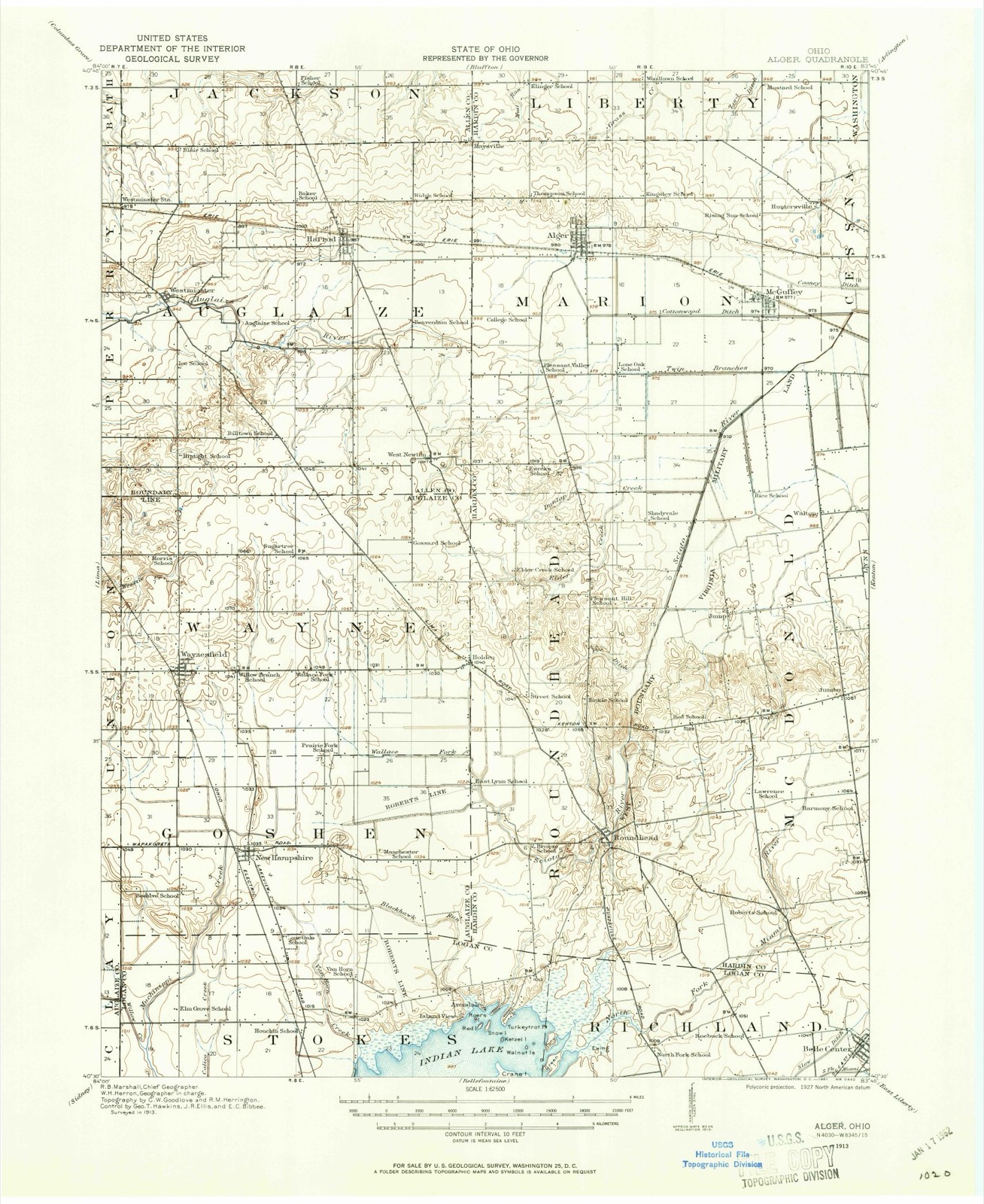
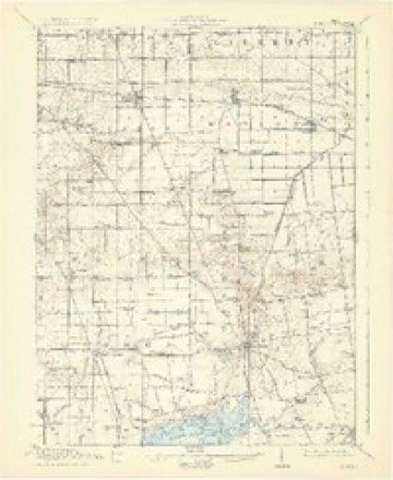
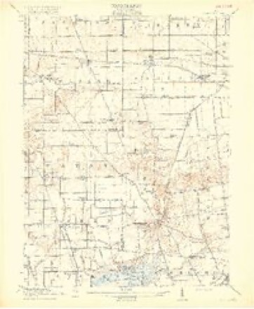
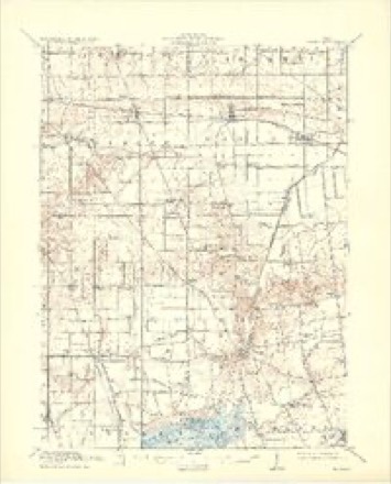
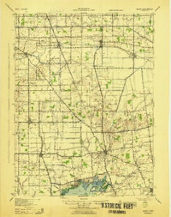
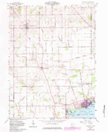
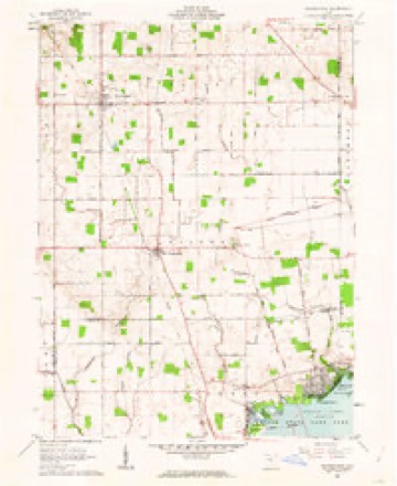
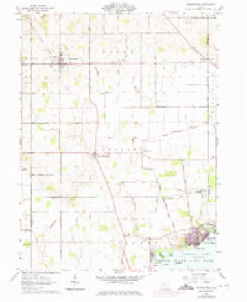
17 topographic sheets cover this place, the earliest surveyed in 1913 and the latest in 1986. It stands in Goshen Township. It lies in ZIP code area 45870. The Survey maps it on the Waynesfield quadrangle. 150 people lived here at the 2020 count. It stands 1,033 feet above sea level.
Population over time
2 figuresNew Hampshire fell from 174 to 150 between 2010 and 2020. These are the recorded population figures Wikidata holds for this place, reached through the Geographic Names Information System number this page is keyed on rather than by name, so they belong to this place and not to another of the same name. Most are census counts, but not all are: an early figure may be a founding or settlement estimate. The change column is computed, and is left blank where more than 20 years separate a figure from the one before it, because a gap that long is not a change between two counts.
| Year | People | Change |
|---|---|---|
| 2010 | 174 | |
| 2020 | 150 | -24 (-14%) |
Then and now
1913 to 1986The same ground, surveyed 73 years apart. Drag the handle to wipe between them. Both sheets are United States Geological Survey originals; neither has been altered.

Topographic sheets covering this place
17 sheetsMatched by testing this settlement's coordinate against the published boundary of every sheet in the United States Geological Survey's historical collection. Each opens the scanned sheet at the Survey.
- 1913 USGS Alger quadrangle1:62500
- 1913 USGS Alger quadrangle1:48000
- 1915 USGS Alger quadrangle1:62500
- 1915 USGS Alger quadrangle1:62500
- 1915 USGS Alger quadrangle1:62500
- 1915 USGS Alger quadrangle1:62500
- 1943 USGS Alger quadrangle1:62500
- 1950 USGS Marion quadrangle1:250000
- 1961 USGS Waynesfield quadrangle1:24000
- 1961 USGS Waynesfield quadrangle1:24000
- 1961 USGS Waynesfield quadrangle1:24000
- 1962 USGS Marion quadrangle1:250000
- 1966 USGS Marion quadrangle1:250000
- 1966 USGS Marion quadrangle1:250000
- 1966 USGS Marion quadrangle1:250000
- 1986 USGS Marion quadrangle1:100000
- 1986 USGS Marion quadrangle1:100000







In the county-history sources
924 words on this townshipHistory of Auglaize County, Ohio : with the Indian History of Wapakoneta, and the First Settlement of the County, published 1880 names this settlement in its chapter on Goshen Township. These are the passages that mention it, exactly as the scans read.
The village of New Hampshire, situated in this township, was laid out by John Kindle in 1836, and was given its name by Mrs. Kindle. The town plat covers sixteen acres of ground. The first store was started by Hiram North; Orin North built the first steam mill; this was followed by J. J. Hutchinson with a store. The village now has two hotels, two stores, two blacksmith shops, one grocery store, and grist and saw-mill, and one physician (IS. J. Pollock), one M. E. Church, and one Baptist Church.
Passage source: History of Auglaize County, Ohio : with the Indian History of Wapakoneta, and the First Settlement of the County, published 1880.
Judge John McLean was born in Bedford County, Pa., in 1809. He went to Richland County, Ohio, in 1833, and married Mary Cobean in 1837, moving immediately afterward to Goshen township, Auglaize County. They raised a family of four children, two boys and two girls, of whom are still living John G., in New Hampshire, and Mellissa Earl, who occupies the old homestead, with whom Mrs. McLean now lives. Robert A. died in the army in 1863. Sarah E. died in 1862. Mr. McLean was one of the earliest settlers of this township. He was elected associate judge for the county after its first organization, which office he filled until the new constitution abolished the office. He died May 5th, 1875.
Passage source: History of Auglaize County, Ohio : with the Indian History of Wapakoneta, and the First Settlement of the County, published 1880.
Machine-read from a century-old scan, so expect the errors a machine makes: misspelled names, dropped words, stray characters.
Specimens collected near this place
12 of 565 shownRegional context, not property-specific evidence. Museums hold 565 specimens collected within 10 miles of New Hampshire between 1896 and 1973: 526 Animalia, 31 Plantae, 6 Fungi, 2 Protozoa. 12 distinct Species records are shown. Collected by C. Clark, Clark, C. (Clarence), Clark, C. F. (Clarence F.) and others. Each is a physical object with a catalogue number, and each entry opens the museum's record. This is what was collected and kept, not a survey of what lives here - nothing can be concluded from a species being absent.
| Image | Species | Year | Collected by | Where, as recorded |
|---|---|---|---|---|
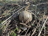 | Bovista pila Berk. & M.A.Curtis | 1896 | Lloyd C. G. | Mt. Lookout |
 | Poria tulipiferae (Schwein.) Cooke | 1896 | Lloyd C. G. | Mt. Lookout |
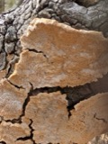 | Irpex Fr. | 1897 | Lloyd C. G. | Mt. Lookout |
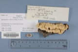 | Polyporus adustus (Willd.) Fr. | 1897 | Lloyd C. G. | Mt. Lookout |
 | Ganoderma lucidum (Curtis) P.Karst. | 1909 | Stover W. G.; Fink G. C. | Lewistown |
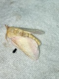 | Dryocampa rubicunda Fabricius, 1793 | 1916 | not recorded | Muchinippi Creek, Myers Rd RM 4.8, 2.2 miles southwest of Lakeview OH, Stokes township |
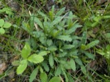 | Pedicularis lanceolata Michx. | 1926 | Genevieve M Leonard; Emery C. Leonard | Chippewah Park, Indian Lake |
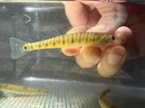 | Percina caprodes (Rafinesque, 1818) | 1928 | Wickliff, E. L. (Edward L.) | Indian Lake, Hatchery Pond, 0.5 mi N of Lakeview, Stokes township |
 | Ambystoma maculatum (Shaw, 1802) | 1929 | Franks, R. W. (Roscoe W.) | 1 1/2 mi S of Harrod, Allen Co., Ohio |
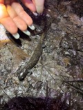 | Ambystoma texanum (Matthes, 1855) | 1929 | Franks, R. W. (Roscoe W.) | 1 1/2 mi S of Harrod, Allen Co., Ohio |
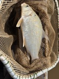 | Carpiodes cyprinus hinei Trautman, 1956 | 1930 | Trautman, M. B. (Milton Bernard) & Foster, R. (Robert) | Great Miami river, northeast Bloomfield Township, near Lewistown, Bloomfield township |
 | Etheostoma nigrum Rafinesque, 1820 | 1930 | Trautman, M. B. (Milton Bernard) & Foster, R. (Robert) | Little Muchinippi Creek, within Stokes township, near Lakeview, Stokes township |
All 565 specimens within 10 miles, at the Global Biodiversity Information Facility.
Mines and quarries near this place
1 within 5 milesRegional context, not property-specific evidence. The federal mineral resources record lists 1 working within 5 miles of New Hampshire: 1 producer. All of them still produce. What was taken out: Sand and Gravel, Construction. Distance is straight-line from the map coordinates, so a quarry counted here may appear on a neighbouring settlement's page as well.
| Where | Site | Commodity | Status | Recorded |
|---|---|---|---|---|
| Wapakoneta Pit | Sand and Gravel, Construction | Producer |
Storms near this place
4 since 1997Regional context, not property-specific evidence. The National Weather Service names New Hampshire in 4 storm reports between 1997 and 2026: 2 thunderstorm wind, 1 flood, 1 hail. No death or injury is recorded in these reports. Each account below is quoted exactly as the forecast office filed it, from the NOAA Storm Events Database, and each date opens the federal record of that event.
| When | Event | Place named | Harm | What the report says |
|---|---|---|---|---|
| August 2007 | Thunderstorm Wind | New Hampshire | $3,000 | A few trees and power lines were downed along US Route 33. |
| July 1997 | Thunderstorm Wind | New Hampshire | $3,000 | Trees downed. |
| March 2023 | Flood | New Hampshire | - | High water was reported on numerous roads throughout the county. |
| March 2026 | Hail | New Hampshire | - | no account filed |
Nearest settlements
The eight closest, with where each one stands in the county. Distances are straight-line, computed from the Geographic Names Information System coordinates.
| Map | Place | Distance | Sheets |
|---|---|---|---|
| Waynesfield | 3.3 miles | 17 | |
| Holden | 5.0 miles | 17 | |
| Rineharts (historical) | 5.2 miles | 14 | |
| Gutman | 5.5 miles | 14 | |
| Slater | 6.7 miles | 14 | |
| Geyer | 6.7 miles | 14 | |
| Saint Johns | 6.9 miles | 14 | |
| Uniopolis | 7.8 miles | 14 |
Elsewhere
Matched on this settlement's Geographic Names Information System number rather than its name, so it cannot be a different place of the same name in another state.
| Wikipedia article on New Hampshire | An encyclopaedic summary. Its text is share-alike, so it is linked here rather than copied. |
| Wikidata item Q3472179 | The structured record the population and elevation above come from. Public domain (CC0). |
Provenance
This settlement is recorded in the Geographic Names Information System as feature 1049007. The sheet list is computed by point-in-boundary test against the United States Geological Survey's historical topographic inventory. Both are works of the United States government and carry no copyright under 17 U.S.C. 105.
Specimens. Global Biodiversity Information Facility (GBIF), https://www.gbif.org/. Only records licensed CC0 or CC BY are used. Records licensed CC BY-NC are excluded because this site carries advertising. Images are checked individually and any whose licence is non-commercial, no-derivatives or unreadable is refused.
Mines and quarries. USGS Mineral Resources Data System (MRDS) https://mrdata.usgs.gov/mrds/ A work of the United States government, no copyright under 17 U.S.C. 105.
Storms. NOAA National Centers for Environmental Information, Storm Events Database https://www.ncei.noaa.gov/stormevents/ A work of the United States government, no copyright under 17 U.S.C. 105. Narratives are quoted verbatim from the National Weather Service report and are not edited or summarised.