 Block
Block
Uniopolis, Ohio
14 topographic sheets cover this place, the earliest surveyed in 1906 and the latest in 1986. It stands in Union Township. It lies in ZIP code area 45888. It stands on Huffman Creek. The Survey maps it on the Uniopolis quadrangle. 188 people lived here at the 2020 count. It stands 938 feet above sea level.
Population over time
2 figuresUniopolis fell from 222 to 188 between 2010 and 2020. These are the recorded population figures Wikidata holds for this place, reached through the Geographic Names Information System number this page is keyed on rather than by name, so they belong to this place and not to another of the same name. Most are census counts, but not all are: an early figure may be a founding or settlement estimate. The change column is computed, and is left blank where more than 20 years separate a figure from the one before it, because a gap that long is not a change between two counts.
| Year | People | Change |
|---|---|---|
| 2010 | 222 | |
| 2020 | 188 | -34 (-15%) |
Then and now
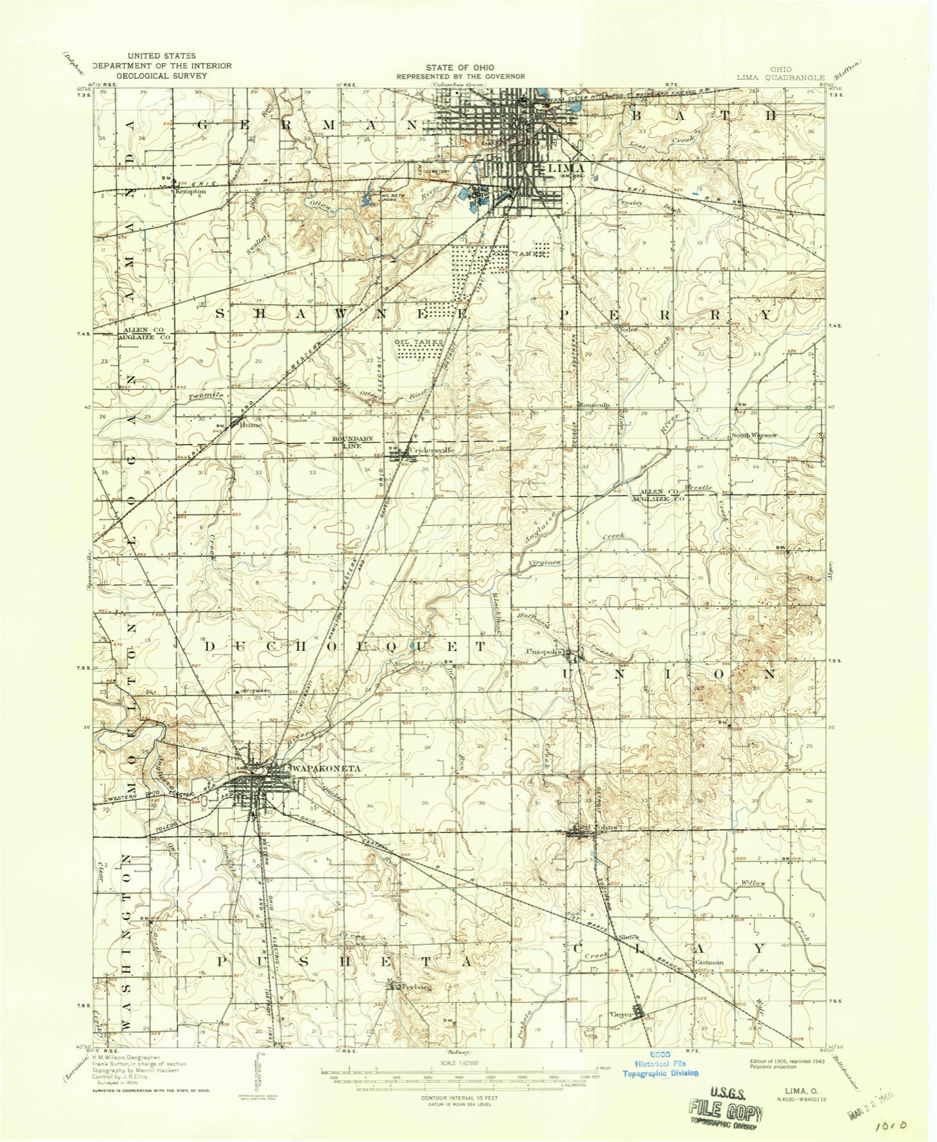
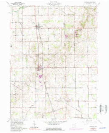
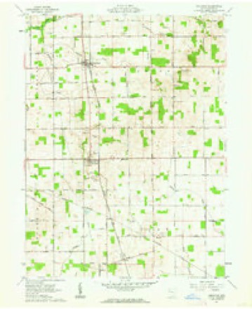
1906 to 1986The same ground, surveyed 80 years apart. Drag the handle to wipe between them. Both sheets are United States Geological Survey originals; neither has been altered.

Topographic sheets covering this place
14 sheetsMatched by testing this settlement's coordinate against the published boundary of every sheet in the United States Geological Survey's historical collection. Each opens the scanned sheet at the Survey.
- 1906 USGS Lima quadrangle1:62500
- 1906 USGS Lima quadrangle1:62500
- 1953 USGS Muncie quadrangle1:250000
- 1953 USGS Muncie quadrangle1:250000
- 1953 USGS Muncie quadrangle1:250000
- 1953 USGS Muncie quadrangle1:250000
- 1953 USGS Muncie quadrangle1:250000
- 1956 USGS Muncie quadrangle1:250000
- 1961 USGS Uniopolis quadrangle1:24000
- 1961 USGS Uniopolis quadrangle1:24000
- 1961 USGS Uniopolis quadrangle1:24000
- 1986 USGS Lima quadrangle1:100000
- 1986 USGS Lima quadrangle1:100000
- 1986 USGS Lima quadrangle1:100000









In the county-history sources
2,004 words on this townshipHistory of Western Ohio and Auglaize County, with Illustrations and Biographical Sketches of Pioneers and Prominent Public Men, published 1905 names this settlement in its chapter on Union Township. These are the passages that mention it, exactly as the scans read.
The first religious society in Union township may be said tc have been formed by Rev. James B. Finley, a Methodist itinerant who preached in the homes of the people, particularly at Charles Lusk's house. The first house of worship was a log building,, located three miles southeast of Uniopolis, and known as Wesley Chapel. A church known as Poplar Hill Church was also a log building. Twenty years later both buildings were replaced by the present neat edifices.
Passage source: History of Western Ohio and Auglaize County, with Illustrations and Biographical Sketches of Pioneers and Prominent Public Men, published 1905.
Uniopolis was originally located in the southwest quarter of section 17, and was platted and organized by John Huffman, in September, 1837. Since its organization there have been additions as follows: No. 1, Samuel Focht's ; No. 2, John W. Howe's ; No. 3, Parlett and Stein's ; No. 4, George Blank's. This village was at a standstill until after the construction of the Ohio Southern Railroad. Since that time many buildings have been -erected and public improvements of a substantial character have been made. The population at the present time (1904) is about four hundred.
Passage source: History of Western Ohio and Auglaize County, with Illustrations and Biographical Sketches of Pioneers and Prominent Public Men, published 1905.
Machine-read from a century-old scan, so expect the errors a machine makes: misspelled names, dropped words, stray characters.
Specimens collected near this place
12 of 769 shownRegional context, not property-specific evidence. Museums hold 769 specimens collected within 10 miles of Uniopolis between 1882 and 1969: 762 Animalia, 5 Fungi, 2 Plantae. 12 distinct Species records are shown. Collected by Adler, K. K., C L CLARK, C. Clark and others. Each is a physical object with a catalogue number, and each entry opens the museum's record. This is what was collected and kept, not a survey of what lives here - nothing can be concluded from a species being absent.
| Image | Species | Year | Collected by | Where, as recorded |
|---|---|---|---|---|
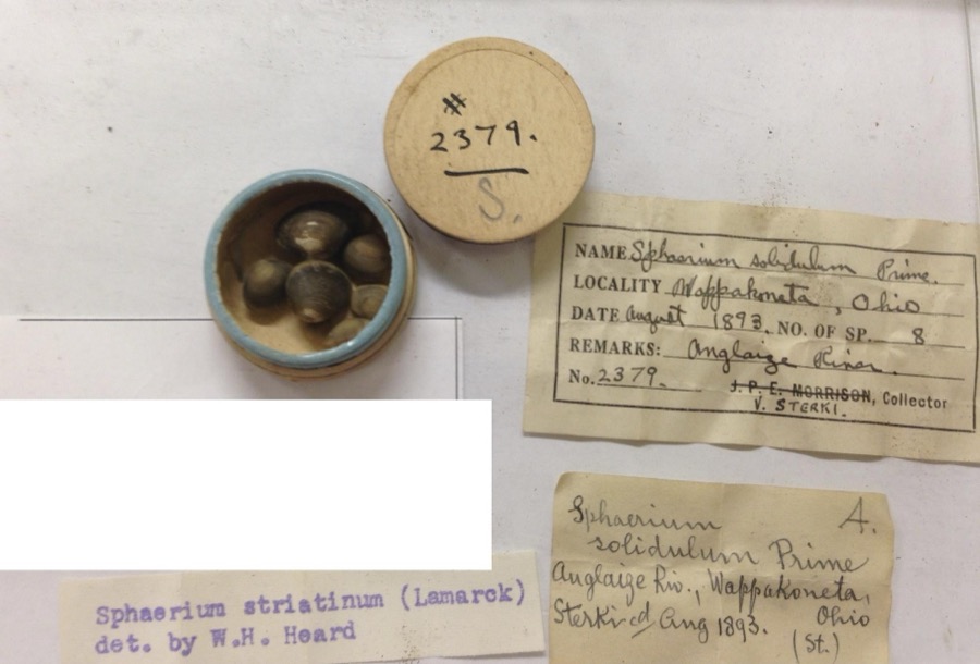 | Sphaerium striatinum (Lamarck, 1818) | 1893 | not recorded | Auglaize River, Wapakoneta [Wappakoneta] |
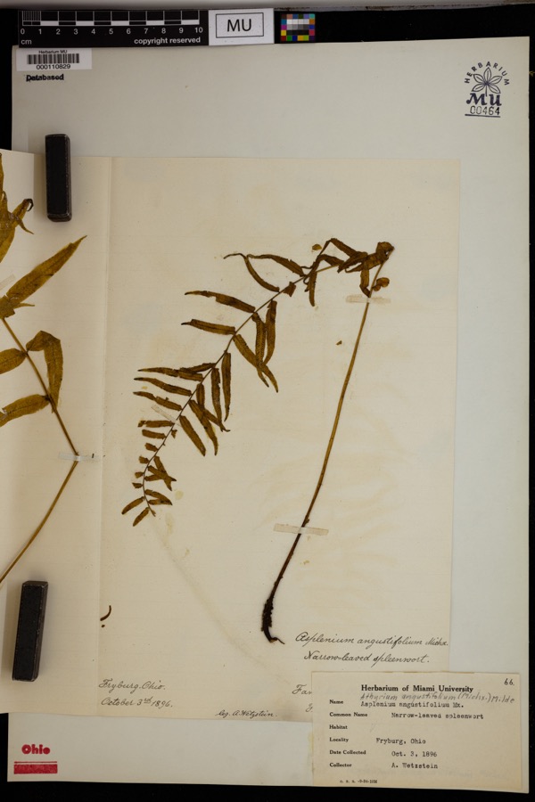 | Athyrium pycnocarpon (Spreng.) Tidestr. | 1896 | Wetzstein, A. | Fryburg. |
 | Recurvirostra americana J.F.Gmelin, 1789 | 1882 | Uller, C. (Clem) | St. Marys Res, Auglaize, Ohio, USA |
 | Alasmidonta viridis (Rafinesque, 1820) | 1893 | Sterki, Victor | Wapakoneta |
 | Amblema plicata (Say, 1817) | 1893 | Sterki, Victor | Wapakoneta |
 | Ameiurus nebulosus (Lesueur, 1819) | 1893 | P. Kirsch | Anglaize Rver, Wapakaneta, Ohio |
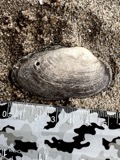 | Anodontoides ferussacianus (I.Lea, 1834) | 1893 | Sterki, Victor | Wapakoneta |
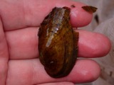 | Cambarunio iris (I.Lea, 1829) | 1893 | Sterki, Victor | Wapakoneta |
 | Campostoma anomalum (Rafinesque, 1820) | 1893 | P. Kirsch | Ohio, Auglaize River, Wapakoneta |
 | Catostomus commersonii (Lacepède, 1803) | 1893 | P. Kirsch | Ohio, Auglaize River, Wapakoneta |
 | Fusconaia flava (Rafinesque, 1820) | 1893 | Sterki, Victor | Wapakoneta |
 | Hybopsis amblops (Rafinesque, 1820) | 1893 | P. Kirsch | Ohio, Auglaize River, Wapakoneta |
All 769 specimens within 10 miles, at the Global Biodiversity Information Facility.
Mines and quarries near this place
5 within 5 milesRegional context, not property-specific evidence. The federal mineral resources record lists 5 workings within 5 miles of Uniopolis: 3 past producers, 2 producers. 2 still produce. What was taken out: Sand and Gravel, Construction. Distance is straight-line from the map coordinates, so a quarry counted here may appear on a neighbouring settlement's page as well.
| Where | Site | Commodity | Status | Recorded |
|---|---|---|---|---|
| Joseph Sand and Gravel Pit | Sand and Gravel, Construction | Past Producer | Sedimentary | |
| Joseph Sand and Gravel Pit | Sand and Gravel, Construction | Producer | ||
| Wapak Sand and Gravel Pit No. 4 | Sand and Gravel, Construction | Past Producer | Sedimentary | |
| Wapak Sand and Gravel Pit No. 4 | Sand and Gravel, Construction | Past Producer | ||
| Wapakoneta Pit | Sand and Gravel, Construction | Producer |
Storms near this place
10 since 2013Regional context, not property-specific evidence. The National Weather Service names Uniopolis in 10 storm reports between 2013 and 2023: 6 thunderstorm wind, 2 flash flood, 1 hail, 1 tornado. No death or injury is recorded in these reports. Each account below is quoted exactly as the forecast office filed it, from the NOAA Storm Events Database, and each date opens the federal record of that event.
| When | Event | Place named | Harm | What the report says |
|---|---|---|---|---|
| April 2023 | Tornado (EF1) | Uniopolis | $500,000 | This tornado started at 2354 EST, March 31st, 2023 and ended at 0007 EST, April 1st, 2023 in Auglaize County, Ohio. The injuries occurred just before midnight EST so were included in the March 2023 Storm Data for Ohio, Southwest.||The first sign of visible damage associated with this tornado occurred on Owl Creek Road. At one residence, two large trees were knocked down while a barn was destroyed at another residence. The tornado strengthened as it moved to the northeast, removing a significant portion of a warehouse building roof and snapping several power poles. Just northeast of here, a large commercial greenhouse was completely leveled. The tornado then crossed the intersection of U.S. 33 and Interstate 75, causing significant roof damage and partial exterior wall collapse to an industrial building. At this point, the tornado was at its strongest with estimated winds of up to 110 mph.||On the east side of Interstate 75 and just north of U.S. 33, a truck stop experienced significant damage and a few semi-trailers were blown over. Just northeast of here, a private campground suffered significant damage. At the campsite, numerous trailers were flipped over and a large meeting hall had its roof removed. Several trees were also knocked down. Seven people were injured when the trailers were flipped at the campground.||As the tornado continued northeast, several farmhouses were damaged and outbuildings were damaged or destroyed between Wapakoneta and Uniopolis, particularly along Middle Pike. Considerable debris was noted in nearby fields. A historic brick school building was also destroyed on Brown Road. Numerous trees were also snapped and uprooted along the path. Sporadic damage to trees and outbuildings continued to the northeast before the tornado apparently lifted near the Auglaize/Allen County line.||This tornado started at 2354 EST, March 31st, 2023 and ended at 0007 EST, April 1st, 2023 in Auglaize County, Ohio. The injuries occurred just before midnight EST so were included in the March 2023 Storm Data for Ohio, Southwest. |
| June 2013 | Thunderstorm Wind | Uniopolis | $20,000 | A building was destroyed in Uniopolis due to thunderstorm winds. |
| June 2020 | Thunderstorm Wind | Uniopolis | $15,000 | Two grain silos on Boundary Road sustained damaged. |
| July 2019 | Thunderstorm Wind | Uniopolis | $5,000 | A few trees were downed. A couple of barn roofs were also damaged. |
| June 2020 | Thunderstorm Wind | Uniopolis | $4,000 | On Boundary Road, telephone poles were knocked down and a tree was across the road. |
| June 2020 | Thunderstorm Wind | Uniopolis | $3,000 | A large tree was knocked down onto a car. |
| August 2016 | Thunderstorm Wind | Uniopolis | $1,000 | One tree was knocked down on power lines on Boundry Road. |
| December 2013 | Flash Flood | Uniopolis | $1,000 | Multiple roads remained closed due to high water caused by earlier heavy rainfall. |
| December 2013 | Flash Flood | Uniopolis | $1,000 | Multiple roads were closed due to high water caused by heavy rainfall. |
| August 2016 | Hail | Uniopolis | - | no account filed |
Nearest settlements
The eight closest, with where each one stands in the county. Distances are straight-line, computed from the Geographic Names Information System coordinates.
| Map | Place | Distance | Sheets |
|---|---|---|---|
| Rineharts (historical) | 2.9 miles | 14 | |
| Saint Johns | 3.2 miles | 14 | |
| Green Acres | 3.8 miles | 15 | |
| Cridersville | 4.9 miles | 14 | |
| Slater | 5.2 miles | 14 | |
| Waynesfield | 5.9 miles | 17 | |
| Colonial Estates | 6.0 miles | 15 | |
| Gutman | 6.1 miles | 14 |
Elsewhere
Matched on this settlement's Geographic Names Information System number rather than its name, so it cannot be a different place of the same name in another state.
| Wikipedia article on Uniopolis | An encyclopaedic summary. Its text is share-alike, so it is linked here rather than copied. |
| Wikidata item Q2433408 | The structured record the population and elevation above come from. Public domain (CC0). |
Provenance
This settlement is recorded in the Geographic Names Information System as feature 1047346. The sheet list is computed by point-in-boundary test against the United States Geological Survey's historical topographic inventory. Both are works of the United States government and carry no copyright under 17 U.S.C. 105.
Specimens. Global Biodiversity Information Facility (GBIF), https://www.gbif.org/. Only records licensed CC0 or CC BY are used. Records licensed CC BY-NC are excluded because this site carries advertising. Images are checked individually and any whose licence is non-commercial, no-derivatives or unreadable is refused.
Mines and quarries. USGS Mineral Resources Data System (MRDS) https://mrdata.usgs.gov/mrds/ A work of the United States government, no copyright under 17 U.S.C. 105.
Storms. NOAA National Centers for Environmental Information, Storm Events Database https://www.ncei.noaa.gov/stormevents/ A work of the United States government, no copyright under 17 U.S.C. 105. Narratives are quoted verbatim from the National Weather Service report and are not edited or summarised.