 Block
Block
New Haven, Ohio
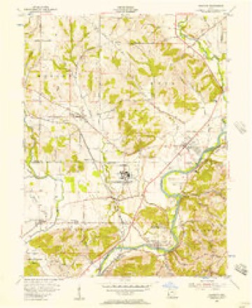
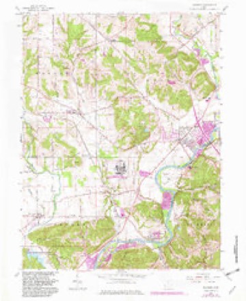
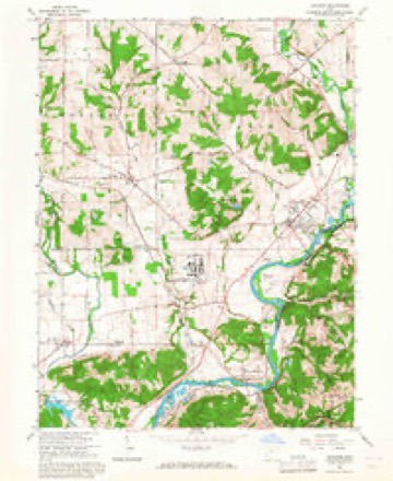
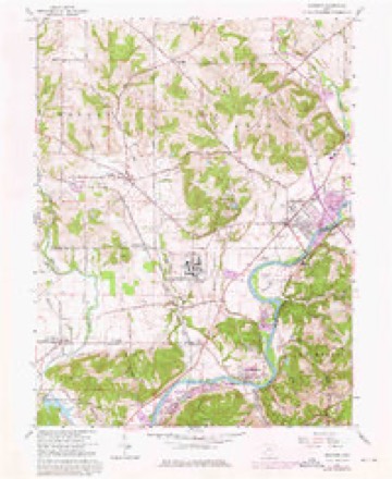
14 topographic sheets cover this place, the earliest surveyed in 1915 and the latest in 1986. It stands in Crosby Township. It lies in ZIP code area 45030. It stands on Howard Creek. The Survey maps it on the Shandon quadrangle. 572 people lived here at the 2020 count. It stands 1,841 feet above sea level.
Population over time
2 figuresNew Haven fell from 583 to 572 between 2010 and 2020. These are the recorded population figures Wikidata holds for this place, reached through the Geographic Names Information System number this page is keyed on rather than by name, so they belong to this place and not to another of the same name. Most are census counts, but not all are: an early figure may be a founding or settlement estimate. The change column is computed, and is left blank where more than 20 years separate a figure from the one before it, because a gap that long is not a change between two counts.
| Year | People | Change |
|---|---|---|
| 2010 | 583 | |
| 2020 | 572 | -11 (-2%) |
Then and now
1915 to 1986The same ground, surveyed 71 years apart. Drag the handle to wipe between them. Both sheets are United States Geological Survey originals; neither has been altered.

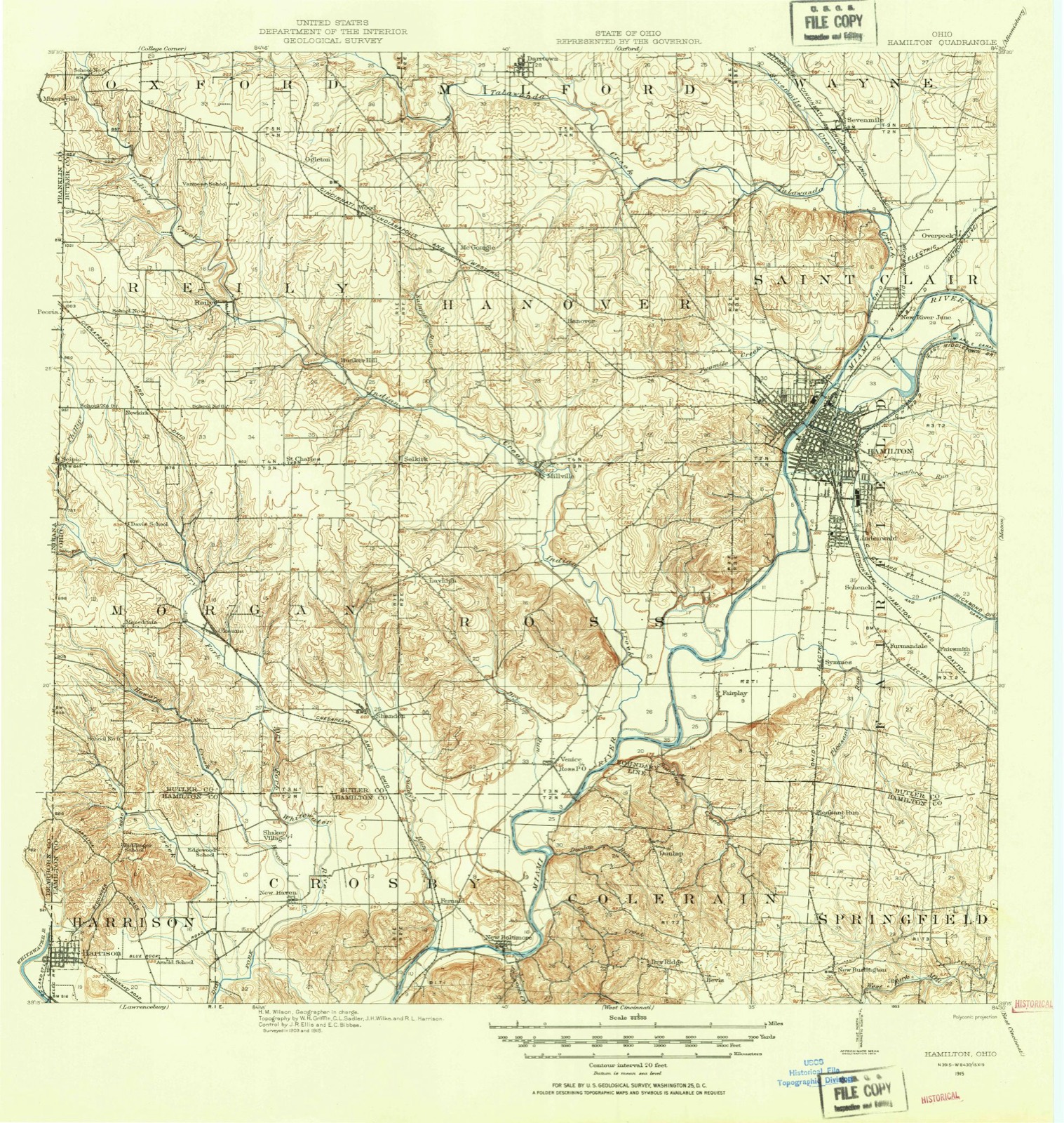
Topographic sheets covering this place
14 sheetsMatched by testing this settlement's coordinate against the published boundary of every sheet in the United States Geological Survey's historical collection. Each opens the scanned sheet at the Survey.
- 1915 USGS Hamilton quadrangle1:62500
- 1915 USGS Hamilton quadrangle1:62500
- 1917 USGS Hamilton quadrangle1:62500
- 1953 USGS Cincinnati quadrangle1:250000
- 1953 USGS Cincinnati quadrangle1:250000
- 1953 USGS Cincinnati quadrangle1:250000
- 1955 USGS Shandon quadrangle1:24000
- 1957 USGS Cincinnati quadrangle1:250000
- 1965 USGS Shandon quadrangle1:24000
- 1965 USGS Shandon quadrangle1:24000
- 1965 USGS Shandon quadrangle1:24000
- 1986 USGS Cincinnati quadrangle1:100000
- 1986 USGS Cincinnati quadrangle1:100000
- 1986 USGS Cincinnati quadrangle1:100000







In the county-history sources
20,408 words on this townshipHistory of Hamilton County, Ohio, with Illustrations and Biographical Sketches, published 1881 names this settlement in its chapter on Crosby Township. These are the passages that mention it, exactly as the scans read.
The Dry fork of Whitewater intersects witli an exceedingly tortuous course the entire western part of the township, entering upon section three, near the northwestern corner of the township, passing to the south and eastward until near the eastern line of the second tier of townships from the west, and thence making its way southwestward to its point of exit almost at the southwestern corner of Crosby. In its many turnings and windings it must, like the Great Miami, measure scarcely less than nine miles in length of channel while making the four miles of distance across the township. It takes its singular name from the disappearance of its waters in the dry season before reaching their usual debouchure into the Whitewater west of Hunt's grove, in Whitewater township. Two of its larger tributaries - Howard's creek, which rises in Butler county and enters the Dry fork at New Haven; and Lee's creek which comes from Harrison township, joining the Dry fork not far from the town line in section twenty-two - take their names from noted old pioneers.- Several other streams of moderate size, mostly flowing
Passage source: History of Hamilton County, Ohio, with Illustrations and Biographical Sketches, published 1881.
This gentleman was born November 2, 1831, in Crosby township, as were all his brothers and sisters. He is the youngest child of William and Nancy (Jones) Sater. He married IVlary Ellen Pottinger, of the wellknown pioneer family, December 19, 1855. She was the daughter of James W. and Mary Pottniger, of New Baltimore and then of Harrison township. Dearborn county, Indiana. Her day of birth was October 10, 1837, of death May 25, 1B5B, after a lingering illness with consumption. By this marriage was born one son - James Pottinger, born November 14, 1856; married February 14, 1878, to Miss Libbie Crocker, of Middleton, Iowa. They have two children - Arthur C, born December 29, 1878, and a daughter, not yet named, born January 28, 1881. He resides at the old home of his mother in Dearborn county, Indiana. A second time Mr. Sater was married, September 26, i860, to Miss Mary Gwaltney. By her he has children as follows: Olive May, born October 26, 1861; Eliza Ann, born February 4, 1865; Joseph T., born June 5, 1870. All these are with their parents at home. Mr. Sater was educated simply in the district schools of his childhood and youth, but has supplemented early deficiencies by much reading and observation of the world. His father died when he was but sixteen years old; he continued at home, assisting in the management of the farm until the property was divided in 1850, when the homestead, with seventy-five acres attached, fell to him, to which he has since made substantial additions, owning now one hundred and one-half acres. He has remained a quiet farmer at the old home since, but has often been called to fill public offices, as township clerk, assessor, and the like, and was member of the house during the Sixtyfirst general assembly of Ohio, in 1874-5, being elected on the Democratic ticket, to which he has given a lifelong allegiance. Here he was assigned to service on the important committees of agriculture and retrenchment. In all public and private stations he has borne himself as a man of integrity and energy, and bears a high reputation among his acquaintances and friends. In connection with his brother, presently to be noticed, he has been influential in the counsels of the Democratic party and in keeping his township generally true to that faith. He has been a Free and Accepted Mason since May, 1852, and has advanced to the degree of Knight Templar. In this order he has filled about all the offices of the Blue Lodge, and is now a member of Council, Chapter, and Commandery, of Cincinnati. Mary (Gwaltney) Sater is a daughter of the late Dr. Samuel and Sarah Gwaltney, of Crosby, formerly of Anderson township, where the father is believed to have been born November 2, 1799. In this township he was married to Sarah Wheatley, January 6, 1820. She was born April i, 1794, and died October 16, 1871. He died May 25, 1872, also at New Haven. Their daughter Mary was born November 4, 1828, in Colerain township. Other children of the family were: James, bom April 2, 1821, married Sarah Sater February 7, 1843, and resides in Morgan township, Butler county: Martha Ann, born December 7, 1822, died January 4, 1861: Josiah, born August 26, 1834, married Mary Ann Atherton Septembfer 12, 1859, and after her death, Mrs. Catharine Mason in 1875 or 1876, and resides on a farm adjoining that of his brother-in-law, Mr. Sater; Robert J., born August 3, 1826, married Elizabeth Smith September 3, 1854, and is a physician living in Fayette county, Indiana; Washington, born October 21, 1830, died July 19, 1831; Elizabeth, born May 14, 1832, resides with her brother-in-law, Thomas E. Sater; Rhoda, born May 14, 1832, married Oliver W. Clark October 1859, and lives near Rockport, Spencer county, Indiana.
Passage source: History of Hamilton County, Ohio, with Illustrations and Biographical Sketches, published 1881.
Dr. Gwaltney was in his day, and for many years, a prominent physician in Anderson and Colerain townships, in Crosby township from 1825 to 1844, and Fayette county, Indiana, from 1844 to the fall of 1849, when he moved back to the village of New Haven, Crosby township, where he spent the remainder of his days, being at the time of his death by far the oldest physician in this region. It was at his house, in July, 1863, during the passage of John Morgan's rebel force through New Haven, that Morgan and Colonel Basil Duke held a council in regard to their future movements through Hamilton county and the State.
Passage source: History of Hamilton County, Ohio, with Illustrations and Biographical Sketches, published 1881.
Machine-read from a century-old scan, so expect the errors a machine makes: misspelled names, dropped words, stray characters.
Read the whole chapter on Crosby Township - it names this place 25 more 25 times.
Specimens collected near this place
12 of 439 shownRegional context, not property-specific evidence. Museums hold 439 specimens collected within 10 miles of New Haven between 1835 and 1975: 218 Fungi, 175 Animalia, 27 Plantae, 17 Protozoa, 2 Unrecorded. 12 distinct Species records are shown. Collected by A. P. Morgan, A.P. Morgan, A.R. Gaufin and others. Each is a physical object with a catalogue number, and each entry opens the museum's record. This is what was collected and kept, not a survey of what lives here - nothing can be concluded from a species being absent.
| Image | Species | Year | Collected by | Where, as recorded |
|---|---|---|---|---|
 | Carex davisii Schwein. & Torr. | 1835 | Frank | in ditione Miami civitatis Ohio |
 | Mentha arvensis var. glabrata (Benth.) Fernald | 1835 | Collector unspecified | Miami. |
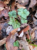 | Sanicula canadensis L. | 1835 | Frank | in ditione Miami civitatis Ohio |
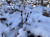 | Monotropa uniflora L. | 1836 | Haupt, J.G. | 4 mile NW. Cincinnati |
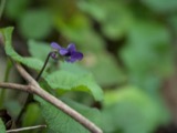 | Viola L. | 1840 | Short, C.W. | In America boerali prope Fernbank, ad ripas fluminis Ohio, prope North-Bend (Kentucky). | Fernbank - ad ripas fluminis Ohio, prope ''North Bend.'' [=In northern America, near Fernbank, beside the Ohio River, near North Bend (Kentucky).] |
| Berberidaceae | 1844 | Short, C.W. | Fernbank, ad ripas fluminis Ohio, prope North Bend. | |
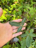 | Desmodium Desv. | 1844 | Short, C.W. | In America boreali, Fernbank - ad ripas fluminis Ohio, prope 'North Bend', Kentucky. |
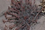 | Paronychia Mill. | 1844 | Short, C.W. | In America boreali, (Fernbank, ad ripas fluminis Ohio, Kentucky). |
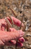 | Polanisia dodecandra (L.) DC. | 1844 | Short, C.W. | Ohio. prope North Bend. |
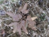 | Botrychium dissectum var. obliquum (Muhl.) Clute | 1898 | Aiken, W.H. | |
| Dasyscyphus viridulus (Schrad.) Sacc. | 1898 | A. P. Morgan | ||
 | Ammocrypta pellucida (Putnam, 1863) | 1929 | Trautman, M. B. (Milton Bernard) & Foster, R. (Robert) | White Water Creek, within northwest Whitewater township, near Hooven, Whitewater township |
All 439 specimens within 10 miles, at the Global Biodiversity Information Facility.
Mines and quarries near this place
10 of 21 shownRegional context, not property-specific evidence. The federal mineral resources record lists 21 workings within 5 miles of New Haven: 10 producers, 8 past producers, 3 plants. 13 still produce. What was taken out: Sand and Gravel, Construction. Distance is straight-line from the map coordinates, so a quarry counted here may appear on a neighbouring settlement's page as well.
| Where | Site | Commodity | Status | Recorded |
|---|---|---|---|---|
| Allied Chem Corp Pit | Sand and Gravel, Construction | Producer | ||
| Barrett Paving Pit | Sand and Gravel, Construction | Past Producer | Sedimentary | |
| Bunnell Gravel Pit #2 | Sand and Gravel, Construction | Producer | ||
| Dry Fork Plant | Sand and Gravel, Construction | Plant | ||
| F and C Pit | Sand and Gravel, Construction | Past Producer | Sedimentary | |
| F and C Pit | Sand and Gravel, Construction | Producer | ||
| Harrison Pit | Sand and Gravel, Construction | Producer | ||
| Harrison Pit | Sand and Gravel, Construction | Plant | ||
| Harrison Pit | Sand and Gravel, Construction | Producer | ||
| Harrison Pit | Sand and Gravel, Construction | Past Producer | Sedimentary |
Nearest settlements
The eight closest, with where each one stands in the county. Distances are straight-line, computed from the Geographic Names Information System coordinates.
| Map | Place | Distance | Sheets |
|---|---|---|---|
| Shaker Village (historical) | 1.2 miles | 14 | |
| Fernald | 2.7 miles | 14 | |
| Valley View (historical) | 2.9 miles | 19 | |
| Blue Jay | 3.4 miles | 19 | |
| Simonsons (historical) | 3.7 miles | 20 | |
| New Baltimore | 4.0 miles | 14 | |
| Harrison | 4.3 miles | 15 | |
| Fort Scott | 4.3 miles | 14 |
Elsewhere
Matched on this settlement's Geographic Names Information System number rather than its name, so it cannot be a different place of the same name in another state.
| Wikipedia article on New Haven | An encyclopaedic summary. Its text is share-alike, so it is linked here rather than copied. |
| Wikidata item Q7008477 | The structured record the population and elevation above come from. Public domain (CC0). |
Provenance
This settlement is recorded in the Geographic Names Information System as feature 1065119. The sheet list is computed by point-in-boundary test against the United States Geological Survey's historical topographic inventory. Both are works of the United States government and carry no copyright under 17 U.S.C. 105.
Specimens. Global Biodiversity Information Facility (GBIF), https://www.gbif.org/. Only records licensed CC0 or CC BY are used. Records licensed CC BY-NC are excluded because this site carries advertising. Images are checked individually and any whose licence is non-commercial, no-derivatives or unreadable is refused.
Mines and quarries. USGS Mineral Resources Data System (MRDS) https://mrdata.usgs.gov/mrds/ A work of the United States government, no copyright under 17 U.S.C. 105.