 Block
Block
Harrison, Ohio
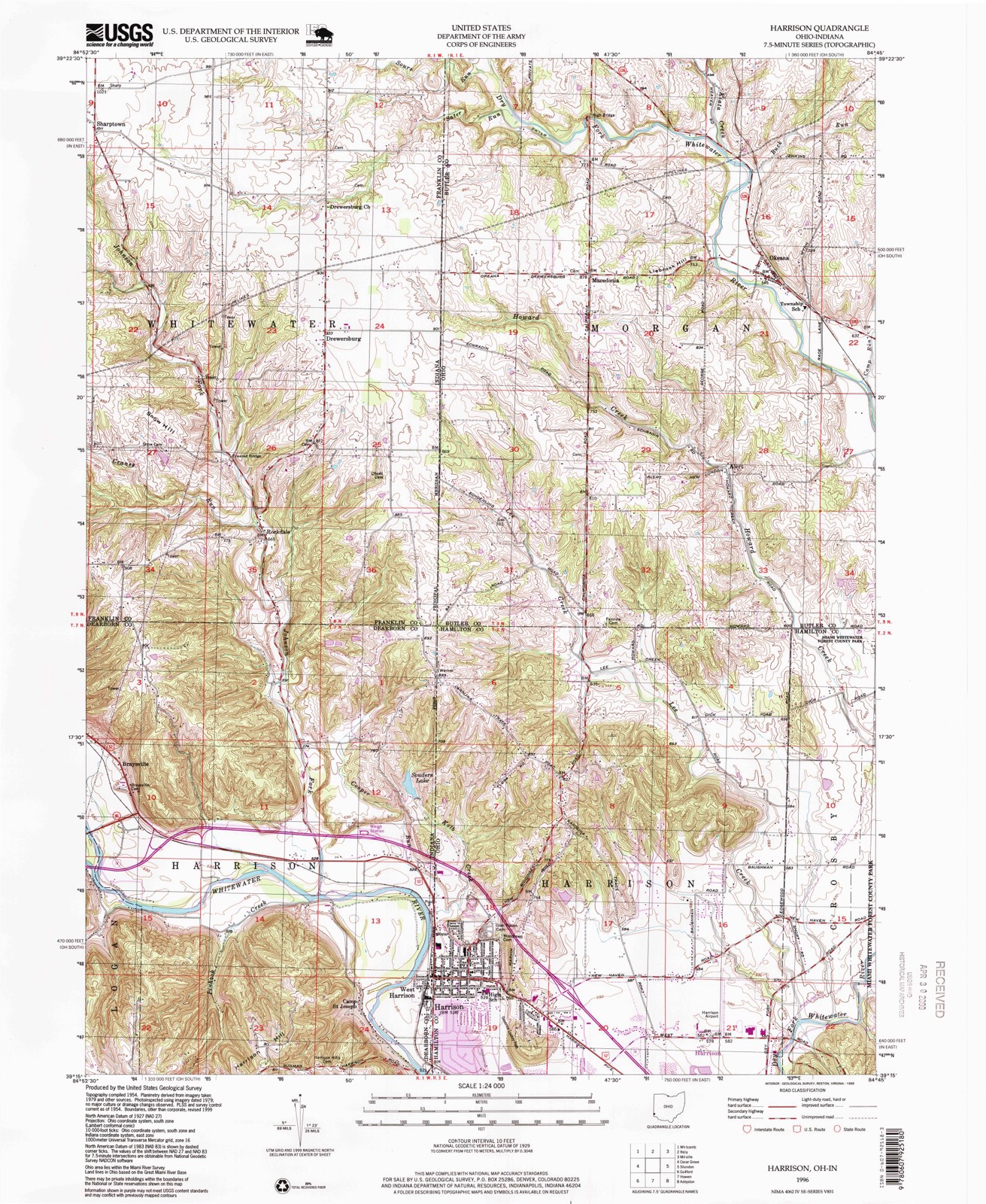
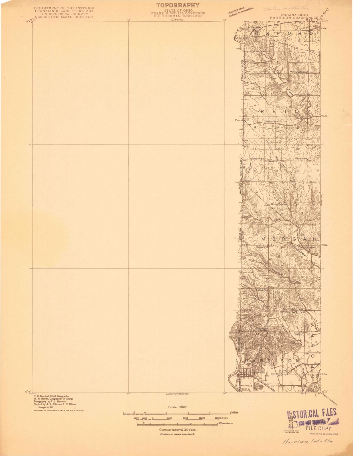
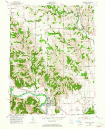
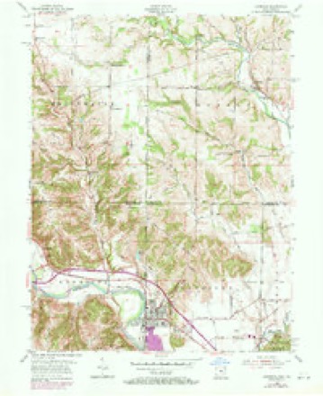
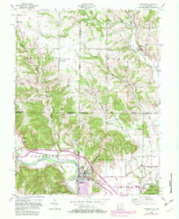
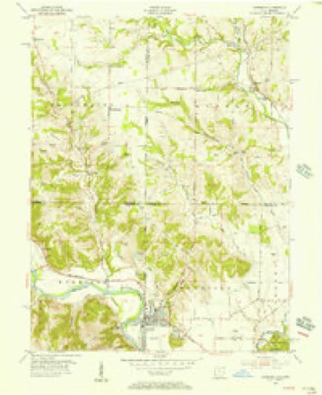
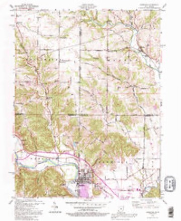
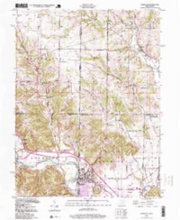
15 topographic sheets cover this place, the earliest surveyed in 1915 and the latest in 1996. It lies in ZIP code area 47060. The Survey maps it on the Harrison quadrangle.
Then and now
1915 to 1996The same ground, surveyed 81 years apart. Drag the handle to wipe between them. Both sheets are United States Geological Survey originals; neither has been altered.
Compare 1915 against another survey:
Topographic sheets covering this place
15 sheetsMatched by testing this settlement's coordinate against the published boundary of every sheet in the United States Geological Survey's historical collection. Each opens the scanned sheet at the Survey.
- 1915 USGS Harrison quadrangle1:48000
- 1953 USGS Cincinnati quadrangle1:250000
- 1953 USGS Cincinnati quadrangle1:250000
- 1953 USGS Cincinnati quadrangle1:250000
- 1955 USGS Harrison quadrangle1:24000
- 1955 USGS Harrison quadrangle1:24000
- 1955 USGS Harrison quadrangle1:24000
- 1955 USGS Harrison quadrangle1:24000
- 1955 USGS Harrison quadrangle1:24000
- 1957 USGS Cincinnati quadrangle1:250000
- 1986 USGS Cincinnati quadrangle1:100000
- 1986 USGS Cincinnati quadrangle1:100000
- 1986 USGS Cincinnati quadrangle1:100000
- 1992 USGS Harrison quadrangle1:24000
- 1996 USGS Harrison quadrangle1:24000







Specimens collected nearby
12 of 304 shownMuseums hold 304 specimens collected within 10 miles of Harrison between 1835 and 1975: 160 Fungi, 128 Animalia, 16 Plantae. 12 distinct Species records are shown. Collected by A. P. Morgan, A. R. Gaufin, A.P. Morgan and others. Each is a physical object with a catalogue number, and each entry opens the museum's record. This is what was collected and kept, not a survey of what lives here - nothing can be concluded from a species being absent.
| Image | Species | Year | Collected by | Where, as recorded |
|---|---|---|---|---|
 | Carex davisii Schwein. & Torr. | 1835 | Frank | in ditione Miami civitatis Ohio |
 | Mentha arvensis var. glabrata (Benth.) Fernald | 1835 | Collector unspecified | Miami. |
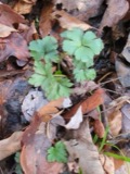 | Sanicula canadensis L. | 1835 | Frank | in ditione Miami civitatis Ohio |
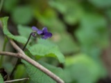 | Viola L. | 1840 | Short, C.W. | In America boerali prope Fernbank, ad ripas fluminis Ohio, prope North-Bend (Kentucky). | Fernbank - ad ripas fluminis Ohio, prope ''North Bend.'' [=In northern America, near Fernbank, beside the Ohio River, near North Bend (Kentucky).] |
| Berberidaceae | 1844 | Short, C.W. | Fernbank, ad ripas fluminis Ohio, prope North Bend. | |
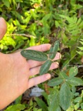 | Desmodium Desv. | 1844 | Short, C.W. | In America boreali, Fernbank - ad ripas fluminis Ohio, prope 'North Bend', Kentucky. |
 | Paronychia Mill. | 1844 | Short, C.W. | In America boreali, (Fernbank, ad ripas fluminis Ohio, Kentucky). |
 | Polanisia dodecandra (L.) DC. | 1844 | Short, C.W. | Ohio. prope North Bend. |
 | Populus deltoides W.Bartram ex Marshall | 1844 | Short, C.W. | Ohio prope North Bend. |
| Dasyscyphus viridulus (Schrad.) Sacc. | 1898 | A. P. Morgan | ||
 | Ammocrypta pellucida (Putnam, 1863) | 1929 | Trautman, M. B. (Milton Bernard) & Foster, R. (Robert) | White Water Creek, within northwest Whitewater township, near Hooven, Whitewater township |
 | Campostoma anomalum anomalum | 1929 | Trautman, M. B. (Milton Bernard) & Foster, R. (Robert) | Dry Fork Whitewater Creek, within Crosby township, near New Haven, Crosby township |
All 304 specimens within 10 miles, at the Global Biodiversity Information Facility.
Mines and quarries nearby
10 of 14 shownThe federal mineral resources record lists 14 workings within 5 miles of Harrison: 6 producers, 5 past producers, 3 plants. 9 still produce. What was taken out: Sand and Gravel, Construction. Distance is straight-line from the map coordinates, so a quarry counted here may appear on a neighbouring settlement's page as well.
| Where | Site | Commodity | Status | Recorded |
|---|---|---|---|---|
| Ashcraft Sand and Gravel, Inc. | Sand and Gravel, Construction | Past Producer | ||
| Bunnell Gravel Pit #2 | Sand and Gravel, Construction | Producer | ||
| Dry Fork Plant | Sand and Gravel, Construction | Plant | ||
| Harrison Pit | Sand and Gravel, Construction | Producer | ||
| Harrison Pit | Sand and Gravel, Construction | Plant | ||
| Harrison Pit | Sand and Gravel, Construction | Producer | ||
| Harrison Pit | Sand and Gravel, Construction | Past Producer | Sedimentary | |
| Harrison Pit | Sand and Gravel, Construction | Past Producer | Sedimentary | |
| Harrison Pit & Mill | Sand and Gravel, Construction | Plant | ||
| Harrison-#712 | Sand and Gravel, Construction | Producer |
Storms nearby
25 since 1994The National Weather Service names Harrison in 25 storm reports between 1994 and 2025: 14 thunderstorm wind, 7 hail, 2 flash flood, 1 heavy rain. No death or injury is recorded in these reports. Each account below is quoted exactly as the forecast office filed it, from the NOAA Storm Events Database, and each date opens the federal record of that event.
| When | Event | Place named | Harm | What the report says |
|---|---|---|---|---|
| May 2022 | Thunderstorm Wind | Harrison | $20,000 | Numerous trees were downed in the Harrison area. A few outbuilding were also damaged. |
| August 2019 | Thunderstorm Wind | Harrison | $15,000 | Damage occurred to the roof of an apartment complex on Harrison Avenue between Walnut and State Streets. The loss of some insulation was also reported. |
| May 2024 | Flash Flood | Harrison | $10,000 | A high water rescue was needed as a car was stranded in high water. |
| June 2019 | Flash Flood | Harrison | $10,000 | A landslide occurred in Harrison Township causing the evacuation of 30 people from 14 units of an apartment building. |
| August 1997 | Thunderstorm Wind | Harrison | $10,000 | Numerous trees downed. An observer reported a 70 mph wind gust. |
| May 2007 | Thunderstorm Wind | Harrison | $8,000 | Three trees were downed in Harrison. Several tree limbs up to four inches in diameter and street signs were knocked down near White Oak. Siding was peeled off of a few homes. |
| July 2001 | Thunderstorm Wind | Harrison | $5,000 | Trees were knocked down at several locations across the county. |
| June 1994 | Thunderstorm Wind | Harrison | $5,000 | Large trees were downed. |
| July 2021 | Thunderstorm Wind | Harrison | $3,000 | Several power lines were downed. |
| June 2004 | Thunderstorm Wind | Harrison | $3,000 | Large tree limbs were knocked down. |
| May 1999 | Thunderstorm Wind | Harrison | $3,000 | Several trees were knocked down in the western part of the county. |
| June 1999 | Thunderstorm Wind | Harrison | $3,000 | Several trees and powerlines were knocked down. |
| June 1998 | Thunderstorm Wind | Harrison | $3,000 | Trees downed. |
| May 2022 | Thunderstorm Wind | Harrison | $1,000 | A tree was downed. |
| April 2011 | Heavy Rain | Harrison | $1,000 | Urban flooding occurred due to heavy rainfall. |
| March 2017 | Hail | Harrison | - | Hail of 1 to 2 inches in diameter was reported in the Harrison area. |
| June 2014 | Flood | Harrison | - | High standing water was observed in a parking lot due to heavy rainfall. |
| June 2012 | Thunderstorm Wind | Harrison | - | The wind gust was measured near Interstate 74. |
| June 2025 | Thunderstorm Wind | Harrison | - | no account filed |
| August 2015 | Hail | Harrison | - | no account filed |
| April 2012 | Hail | Harrison | - | no account filed |
| April 2012 | Hail | Harrison | - | no account filed |
| July 2012 | Hail | Harrison | - | no account filed |
| March 2011 | Hail | Harrison | - | no account filed |
| June 2011 | Hail | Harrison | - | no account filed |
Nearest settlements
The eight closest, with where each one stands in the county. Distances are straight-line, computed from the Geographic Names Information System coordinates.
| Map | Place | Distance | Sheets |
|---|---|---|---|
| Simonsons (historical) | 2.5 miles | 20 | |
| Fort Gass (historical) | 3.6 miles | 20 | |
| New Haven | 4.3 miles | 14 | |
| Shaker Village (historical) | 4.7 miles | 14 | |
| White Water Park | 4.9 miles | 20 | |
| Blue Jay | 5.0 miles | 19 | |
| Perryville (historical) | 5.5 miles | 20 | |
| Cilley (historical) | 5.9 miles | 20 |
Provenance
This settlement is recorded in the Geographic Names Information System as feature 1041362. The sheet list is computed by point-in-boundary test against the United States Geological Survey's historical topographic inventory. Both are works of the United States government and carry no copyright under 17 U.S.C. 105.
Specimens. Global Biodiversity Information Facility (GBIF), https://www.gbif.org/. Only records licensed CC0 or CC BY are used. Records licensed CC BY-NC are excluded because this site carries advertising. Images are checked individually and any whose licence is non-commercial, no-derivatives or unreadable is refused.
Mines and quarries. USGS Mineral Resources Data System (MRDS) https://mrdata.usgs.gov/mrds/ A work of the United States government, no copyright under 17 U.S.C. 105.
Storms. NOAA National Centers for Environmental Information, Storm Events Database https://www.ncei.noaa.gov/stormevents/ A work of the United States government, no copyright under 17 U.S.C. 105. Narratives are quoted verbatim from the National Weather Service report and are not edited or summarised.