 Block
Block
Newport, Ohio
14 topographic sheets cover this place, the earliest surveyed in 1909 and the latest in 1986. It stands in Cynthian Township. It lies in ZIP code area 45845. It stands on Lawrence Run. The Survey maps it on the Fort Loramie quadrangle. 169 people lived here at the 2020 count.
Population over time
2 figuresNewport fell from 198 to 169 between 2010 and 2020. These are the recorded population figures Wikidata holds for this place, reached through the Geographic Names Information System number this page is keyed on rather than by name, so they belong to this place and not to another of the same name. Most are census counts, but not all are: an early figure may be a founding or settlement estimate. The change column is computed, and is left blank where more than 20 years separate a figure from the one before it, because a gap that long is not a change between two counts.
| Year | People | Change |
|---|---|---|
| 2010 | 198 | |
| 2020 | 169 | -29 (-15%) |
Then and now
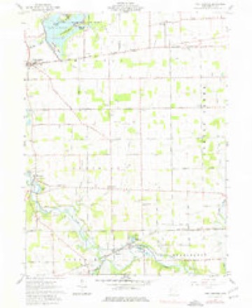
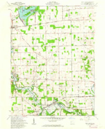
1909 to 1986The same ground, surveyed 77 years apart. Drag the handle to wipe between them. Both sheets are United States Geological Survey originals; neither has been altered.

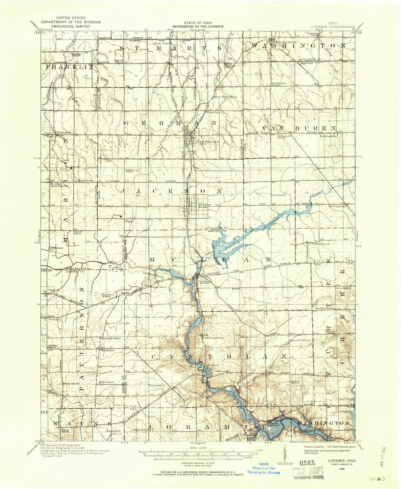
Topographic sheets covering this place
14 sheetsMatched by testing this settlement's coordinate against the published boundary of every sheet in the United States Geological Survey's historical collection. Each opens the scanned sheet at the Survey.
- 1909 USGS Loramie quadrangle1:62500
- 1911 USGS Loramie quadrangle1:62500
- 1944 USGS Loramie quadrangle1:62500
- 1953 USGS Muncie quadrangle1:250000
- 1953 USGS Muncie quadrangle1:250000
- 1953 USGS Muncie quadrangle1:250000
- 1953 USGS Muncie quadrangle1:250000
- 1953 USGS Muncie quadrangle1:250000
- 1956 USGS Muncie quadrangle1:250000
- 1961 USGS Fort Loramie quadrangle1:24000
- 1961 USGS Fort Loramie quadrangle1:24000
- 1986 USGS Piqua quadrangle1:100000
- 1986 USGS Piqua quadrangle1:100000
- 1986 USGS Piqua quadrangle1:100000









In the county-history sources
4,257 words on this townshipHistory of Shelby County, Ohio, and Representative Citizens, published 1913 names this settlement in its chapter on Cynthian Township. These are the passages that mention it, exactly as the scans read.
As in other sections, the pioneers in Cynthian township lived at first in log cabins and while these primitive dwellings were adequate to their early needs, as they grew more prosperous, frame houses were erected, which still later gave place to those of stone and brick. The first frame house in the township was erected on the present site of Newport by JosiaS Reaser but he did not, apparently, occupy it, selling it to Cyrus Reese. George Butt was the first to build a brick house, probably burning the brick on his own land. A saw mill - one of the first necessities - was built by Conrad Pouches, and a tannery - another desirable enterprise in a pioneer settlement - was started by Stephen Blanchard. William Mills was the first blacksmith and in the villages which rapidly grew, other lines of business were started so that, within the first quarter of a century from the time of settlement, civilized conditions prevailed all over the township. Very early the people began to agitate the subject of schools and the first building especially dedicated to the cause of education was built on land owned by Jacob Wise. The United Brethren appear to have been the first here in the religious field. Originally this township belonged to Loramie but was detached in 1822. The first township election was held at the house of Alexander Miller, July 4, 1822.
Passage source: History of Shelby County, Ohio, and Representative Citizens, published 1913.
North Port - The plat of North Port (incorporated into Newport?) contained twenty lots and was located on the west half of northeast quarter of section 30, town. 10, range 5 east and was surveyed for Richard Short, its proprietor, in June, 1839. It was laid out with four streets: Main, North. Elm and South.
Passage source: History of Shelby County, Ohio, and Representative Citizens, published 1913.
Newport was surveyed and platted in the same year as North Port, for Nicholas Wynant. It is situated in section 30, on the Miami and Erie canal and at present has about 140 inhabitants the population having decreased considerably in the last twenty-five years. The first frame house as mentioned above was located here and was used as a hotel by Cyrus Reese, who built a second one in which he conducted a grocery store. Pilliod Brothers,
Passage source: History of Shelby County, Ohio, and Representative Citizens, published 1913.
Machine-read from a century-old scan, so expect the errors a machine makes: misspelled names, dropped words, stray characters.
Read the whole chapter on Cynthian Township - it names this place 3 more 3 times.
Specimens collected near this place
12 of 320 shownRegional context, not property-specific evidence. Museums hold 320 specimens collected within 10 miles of Newport between 1800 and 1974: 260 Animalia, 35 Fungi, 24 Plantae, 1 Unrecorded. 12 distinct Species records are shown. Collected by A. R. Gaufin, A.R. Gaufin, H.H. Ross, Arden R. Gaufin and others. Each is a physical object with a catalogue number, and each entry opens the museum's record. This is what was collected and kept, not a survey of what lives here - nothing can be concluded from a species being absent.
| Image | Species | Year | Collected by | Where, as recorded |
|---|---|---|---|---|
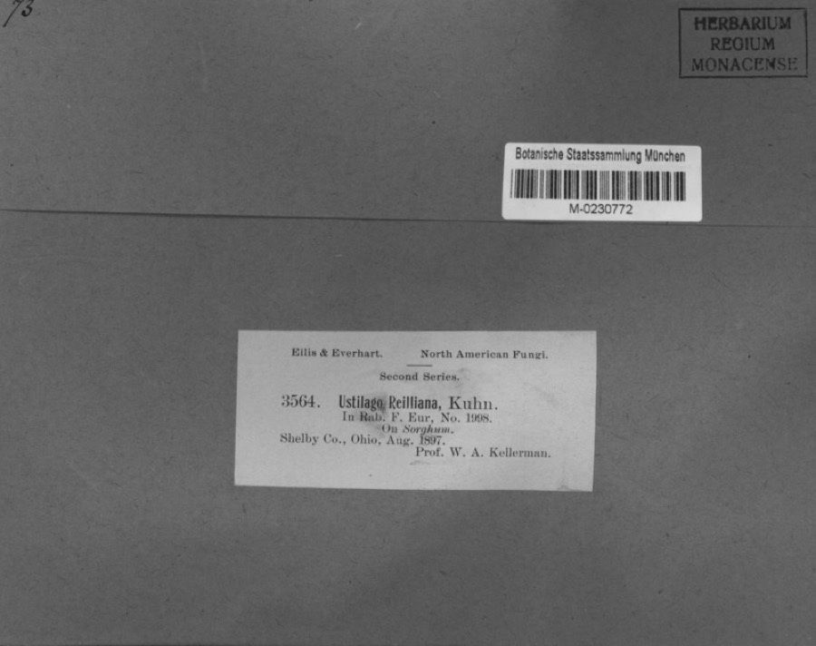 | Sorghum Moench | 1897 | Kellerman, W.A. | Shelby Co., Ohio. |
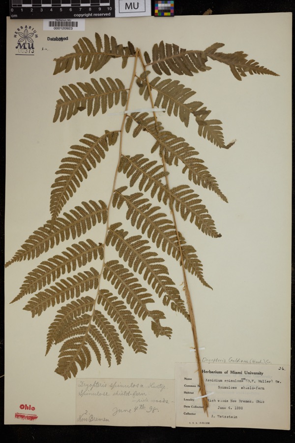 | Dryopteris goldiana (Hook. ex Goldie) A.Gray | 1898 | Wetzstein, A. | Rich woods, New Bremen. |
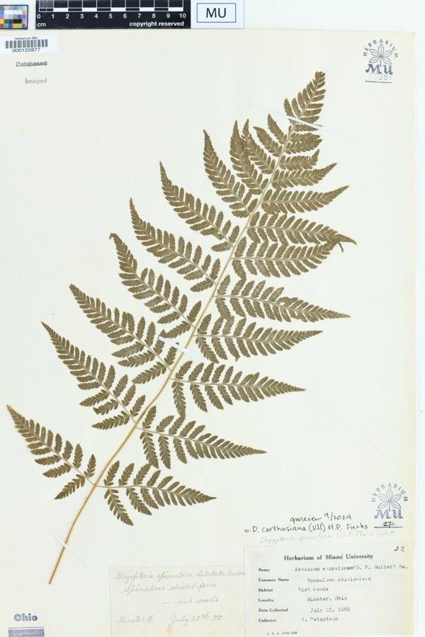 | Dryopteris spinulosa (O.F.Müll.) Watt | 1898 | Wetzstein, A. | Rich woods. Minster, Ohio |
 | Mentha aquatica L. | 1800 | Ballenstedt, B. | Bremen: An der WÅmme in Oberneuland bei Bremen |
 | Geum urbanum L. | 1883 | Baßmann | Bremen: Vegesack, feuchtes, schattiges Gehîlz bei Holthorst, sehr selten |
 | Rubus idaeus L. | 1889 | Meyerholz | Bremen: auf Quellgrund, Torf u. Humus |
 | Lobelia dortmanna L. | 1892 | Wendelken | Bremen: Bremen-Lesum, Lesum |
 | Rubus condensatus P.J.Müll. | 1892 | Elmgoeth, Fr. | Niedersachsen: Soltau in der Lüneburger Heide |
| unnamed | 1897 | WA Kellerman | Shelby County | |
 | Carex shortiana Dewey & Torr. | 1897 | Wetzstein, A. | |
| Sorosporium reilianum (J.G.Kühn) McAlpine | 1897 | W. A. Kellerman | ||
 | Sphacelotheca reiliana (J.G.Kühn) G.P.Clinton | 1897 | Kellerman W. A. | Shelby Co. |
All 320 specimens within 10 miles, at the Global Biodiversity Information Facility.
Mines and quarries near this place
5 within 5 milesRegional context, not property-specific evidence. The federal mineral resources record lists 5 workings within 5 miles of Newport: 4 past producers, 1 plant. 1 still produces. What was taken out: Sand and Gravel, Construction. Distance is straight-line from the map coordinates, so a quarry counted here may appear on a neighbouring settlement's page as well.
| Where | Site | Commodity | Status | Recorded |
|---|---|---|---|---|
| Bandwie Pit | Sand and Gravel, Construction | Past Producer | Sedimentary | |
| Ernest Sand and Gravel Pit | Sand and Gravel, Construction | Past Producer | Sedimentary | |
| Ernst Gravel Co. Plant & Pit | Sand and Gravel, Construction | Plant | ||
| Fleckenstein Pit | Sand and Gravel, Construction | Past Producer | Sedimentary | |
| Fleckenstein Pit | Sand and Gravel, Construction | Past Producer |
Storms near this place
4 since 2014Regional context, not property-specific evidence. The National Weather Service names Newport in 4 storm reports between 2014 and 2023: 3 thunderstorm wind, 1 flood. No death or injury is recorded in these reports. Each account below is quoted exactly as the forecast office filed it, from the NOAA Storm Events Database, and each date opens the federal record of that event.
| When | Event | Place named | Harm | What the report says |
|---|---|---|---|---|
| July 2023 | Thunderstorm Wind | Newport | $5,000 | A large tree fell into power lines along State Route 66 near Cardo Road. |
| July 2022 | Thunderstorm Wind | Newport | $3,000 | A few trees were downed. |
| July 2019 | Thunderstorm Wind | Newport | $1,000 | A tree was downed near the intersection of State Route 66 and Cardo Road. |
| April 2014 | Flood | Newport | - | Loramie and Turtle Creeks were at bankfull due to heavy rainfall. High water was reported across low lying locations of roadways in the area. |
Nearest settlements
The eight closest, with where each one stands in the county. Distances are straight-line, computed from the Geographic Names Information System coordinates.
| Map | Place | Distance | Sheets |
|---|---|---|---|
| Oran | 2.6 miles | 14 | |
| Houston | 3.3 miles | 14 | |
| Dawson | 3.6 miles | 14 | |
| Fort Loramie | 3.8 miles | 14 | |
| Mount Jefferson | 4.2 miles | 15 | |
| Russia | 4.7 miles | 13 | |
| Earls Island | 5.2 miles | 14 | |
| Filburns Island | 5.3 miles | 14 |
Elsewhere
Matched on this settlement's Geographic Names Information System number rather than its name, so it cannot be a different place of the same name in another state.
| Wikipedia article on Newport | An encyclopaedic summary. Its text is share-alike, so it is linked here rather than copied. |
| Wikidata item Q7018712 | The structured record the population and elevation above come from. Public domain (CC0). |
Provenance
This settlement is recorded in the Geographic Names Information System as feature 1063415. The sheet list is computed by point-in-boundary test against the United States Geological Survey's historical topographic inventory. Both are works of the United States government and carry no copyright under 17 U.S.C. 105.
Specimens. Global Biodiversity Information Facility (GBIF), https://www.gbif.org/. Only records licensed CC0 or CC BY are used. Records licensed CC BY-NC are excluded because this site carries advertising. Images are checked individually and any whose licence is non-commercial, no-derivatives or unreadable is refused.
Mines and quarries. USGS Mineral Resources Data System (MRDS) https://mrdata.usgs.gov/mrds/ A work of the United States government, no copyright under 17 U.S.C. 105.
Storms. NOAA National Centers for Environmental Information, Storm Events Database https://www.ncei.noaa.gov/stormevents/ A work of the United States government, no copyright under 17 U.S.C. 105. Narratives are quoted verbatim from the National Weather Service report and are not edited or summarised.