50 topographic sheets and 7 fire insurance
atlases across 1 place.
Research this county
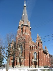
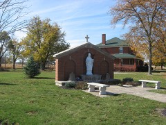
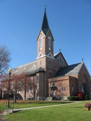
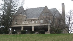
This curated hub for Shelby County, Ohio brings together the page's documented record links, visible map or image evidence where published, and routes to related local records.
Use the page's provenance and linked records to distinguish the source material from the site's navigation and summaries.
How should I cite it?
Open the original record, preserve its repository and identifier, then use the citation tool for this page as a path back to the source.
Where should I go next?
Follow the county or state hub for related places and records, then use the guide for a source-aware research sequence.
From the record
“He is believed to have been a son of the celebrated chief Cornstalk of Chillicothe, who was assassinated at Point Pleasant, Va. He was a large, fine looking Indian, a man of honor, and a true friend of the whites. It is said he often visited the trading posts, and was known to a good many of the pioneers.”
Peter Cornstalk - History of Shelby County, Ohio, and Representative Citizens (1913). Machine-read text.
19 National Register listings, of which 1 are National Historic Landmarks · 29 businesses named in the fire insurance atlases from 1887 to 1907 · the 1913 county history tells 5 stories and names 12 people · people the book names include Expedition Op Col. John Bowman (Clinton Township, 1883) (machine-read).
Ohio within the United StatesShelby County within Ohio
Explore by year
What the record shows
1 place in this county was surveyed for fire insurance: Sidney, between 1887 and 1946.
7 fire insurance atlas(es) survive for the county. Topographic coverage is national; fire insurance survey reached only incorporated places with something worth insuring.
606 topographic sheet readings cover the county's settlements.
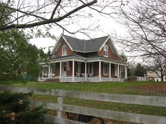
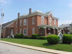
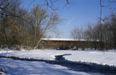
19 properties here are on the National Register of Historic Places, including 1 covered bridge, 1 historic district, 3 houses and farms.
14 of the 19 listings were added during the 1970s.
The Geographic Names Information System records 41 populated places in this county; 0 are covered by at least one topographic sheet.
2 public-domain county histories, 1883 and 1913, supply 501,668 words of narrative reproduced here in full.
What happened here
5 accounts
A captivity, a drowning, a famine, a man
scalped clearing his lot in 1789. These are passages from History of Shelby County, Ohio, and Representative Citizens, written
while people who remembered the events were still alive, and each one
opens the section it comes from.
1913, Clinton Township
Introduction
Less than nine centuries since, the historic period of the Western Continent - the new world - was ushered in. Let us pause a moment and recall the achievements of the actors in the great drama of discover}', settlement, colonization, and nationality. With our own territory extending from the Atlantic to the Pacific, and from the great cool lakes to the broad warm gulf, it also embraces a separate territory bordering the Frozen Ocean and clasping hands with the great Asiatic Continent, almost linking that continent with British North America.
For the purpose of subjugating the hostile Wyandots, Delawares, and Shawanese, who were unreconciled to English rule, and who bad outraged humanity by their brutality towards the frontier settlers, having barbarously murdered many of them and carried their wives and children into captivity, General Gage, commander-in-chief of the British troops in North America, decided, in 1764, to organize two armies, to be commanded respectively by Colonels Bradstreet and Bouquet.
In 1789, after the Fort Harmar treaty, the Indians assumed a hostile attitude and annoyed the infant settlements near the mouth of the Muskingum and between the Miamis. N ine persons were killed within the bounds of the Symmes Purchase. The settlers became alarmed, and Major Stiles, of Pennsylvania, with twenty-five brave men, commenced the erection of block-houses in each of the settlements of this region.
Captain Johnny and his braves are understood to have lived on the west bank of the Pusheta Creek, just north of the bridge. This chief, in the capacity of a scout, did great service to the American cause. He was with his old comrade Logan, who was mortally wounded near the Maumee Rapids, in November, 1812, while serving General Harrison.
was a chief of some distinction. He is believed to have been a son of the celebrated chief Cornstalk of Chillicothe, who was assassinated at Point Pleasant, Va. He was a large, fine looking Indian, a man of honor, and a true friend of the whites. It is said he often visited the trading posts, and was known to a good many of the pioneers.
Taken for the Office of War Information and
the Farm Security Administration, who photographed the country between
1935 and 1944. Works of United States government photographers, with no
known restriction on use. Each opens its catalogue record.
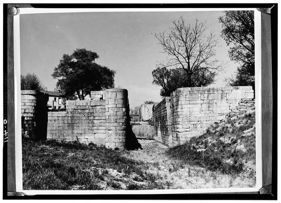
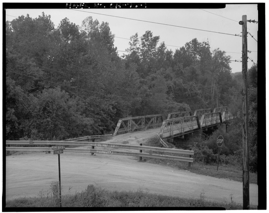
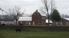
Miami & Erie Canal Locks, Loramie Portage site vicinity, Lockington, Shelby County, OH Unattributed, . Library of CongressEast Lockington Road Bridge, Spanning Great Miami River, Lockington, Shelby County, OH Unattributed, . Library of Congress
Places on the National Register
19
Every property in this county listed on the
National Register of Historic Places, with the year it was listed and the
federal nomination document.
Shelby County holds 1 covered bridges on
the National Register, more than any other property type here. Each is a listed
structure with a federal nomination on file.
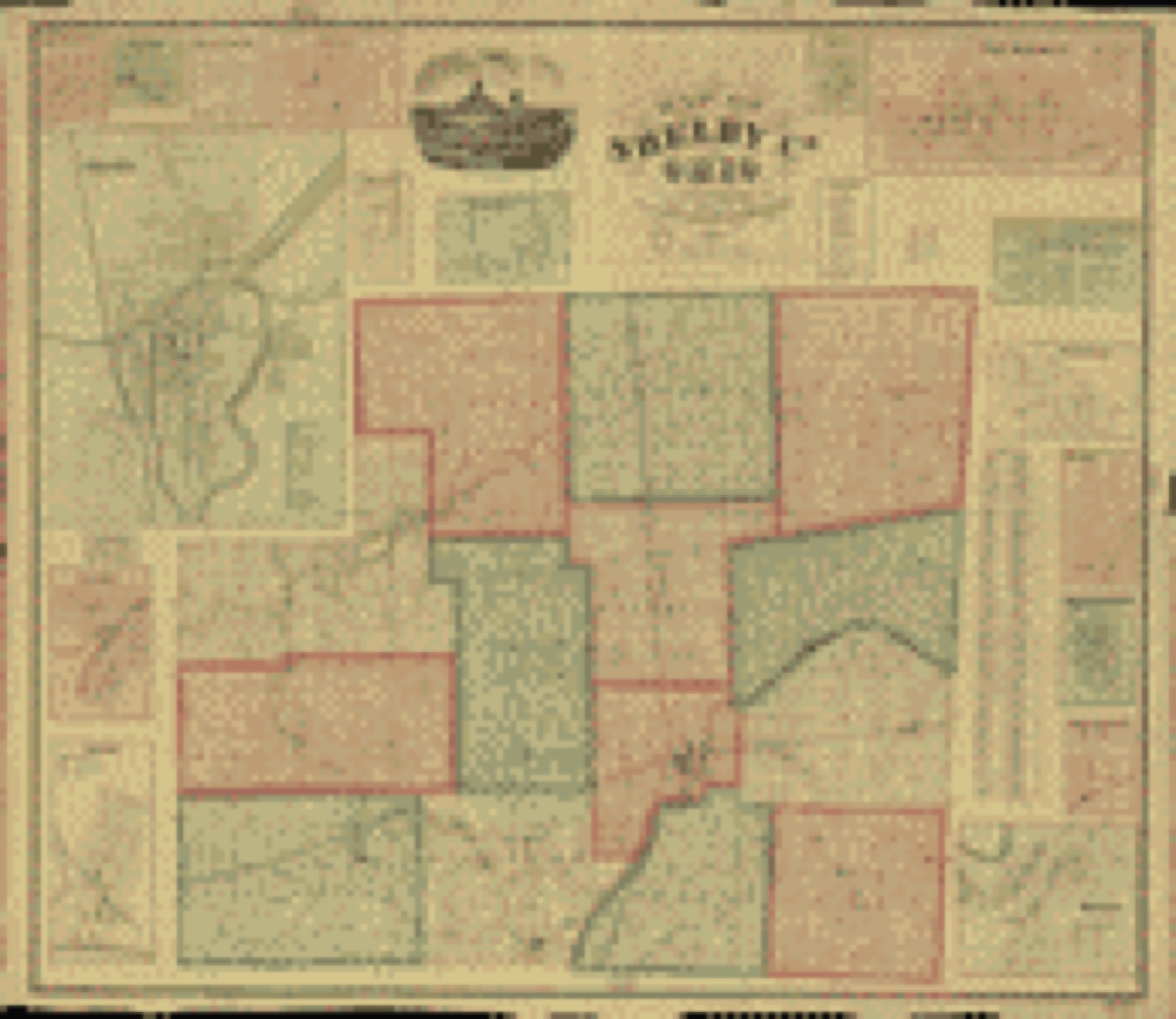
Drawn when these were printed as
single large sheets: the town seen from the air, and the county
divided into its farms with every owner named. Each opens the
original at the Library of Congress.
Land ownership map (1865) - Map of Shelby Co., Ohio. Library of Congress.
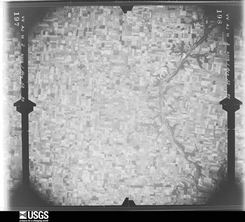
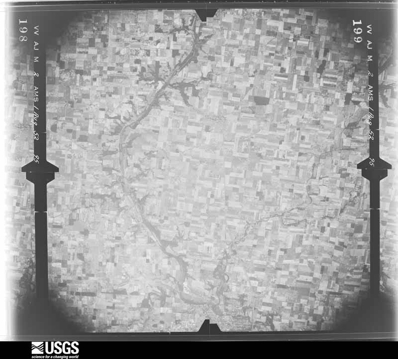
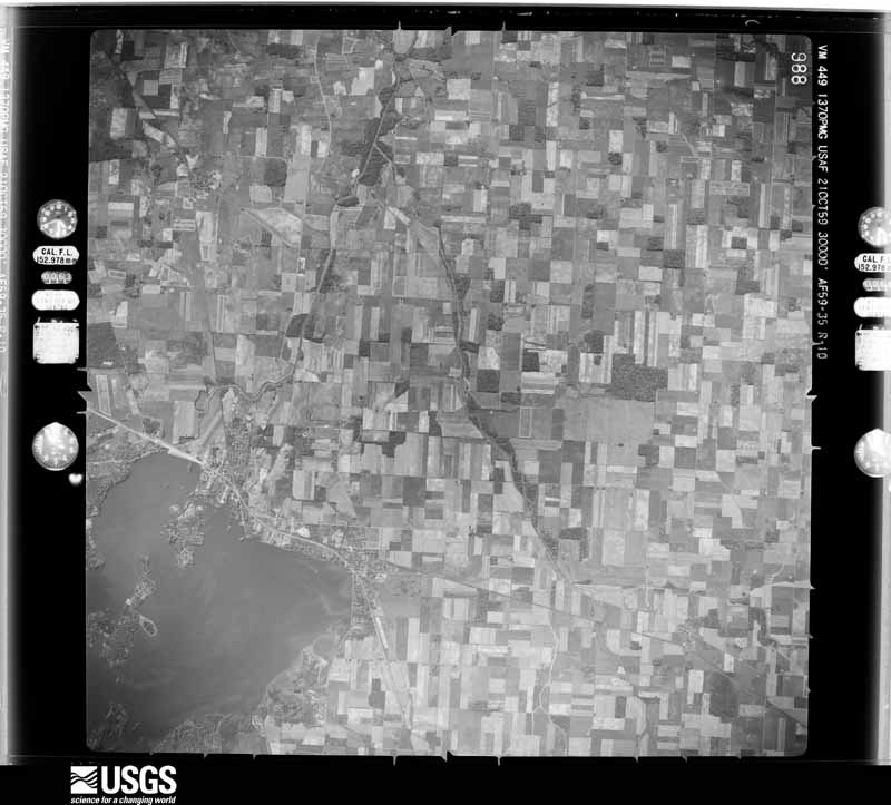
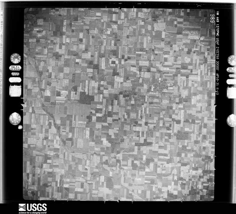
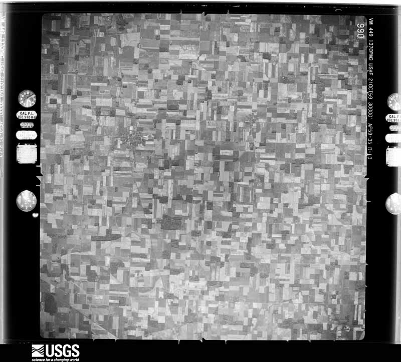
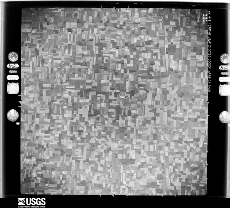
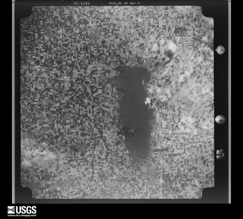
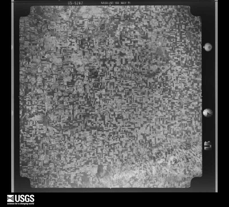
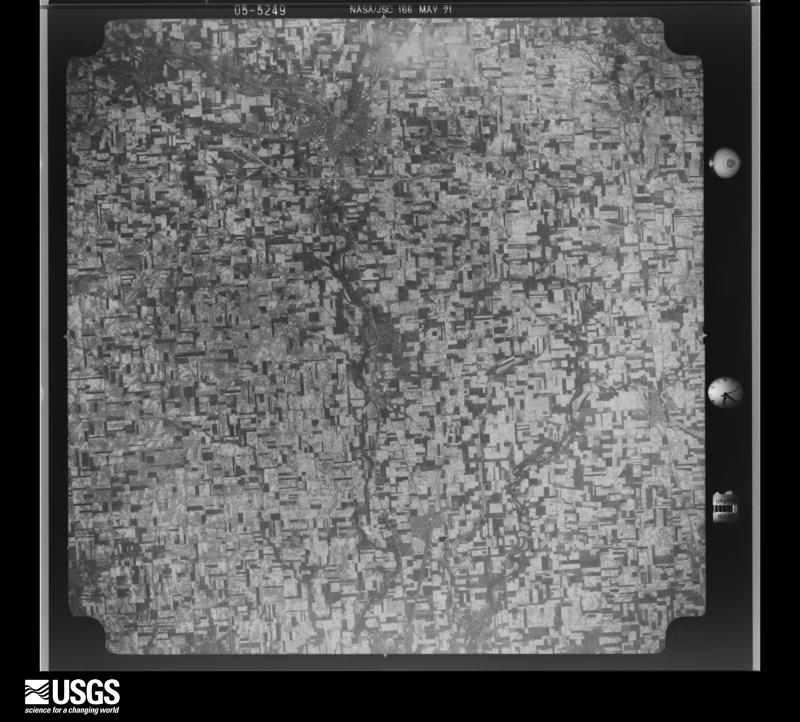
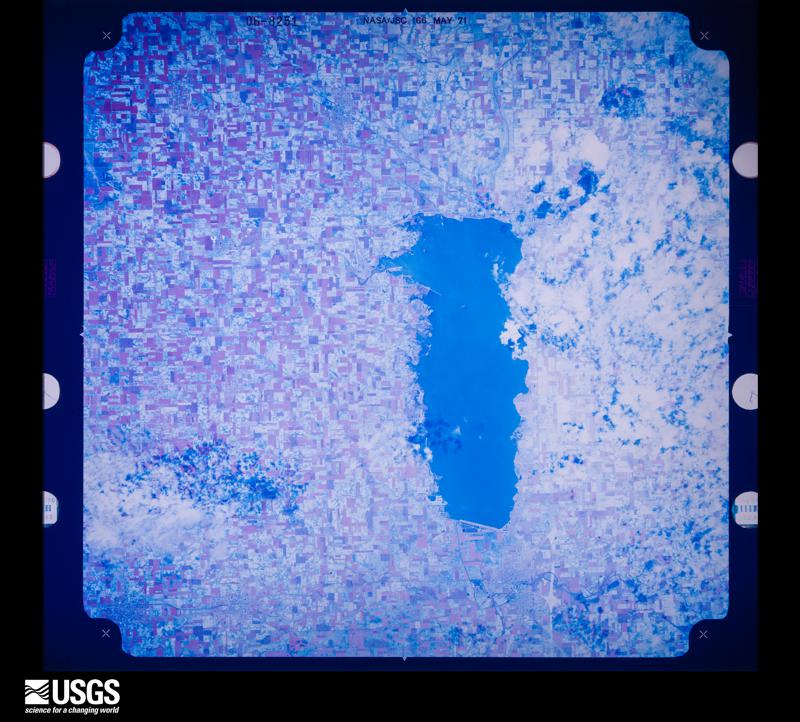
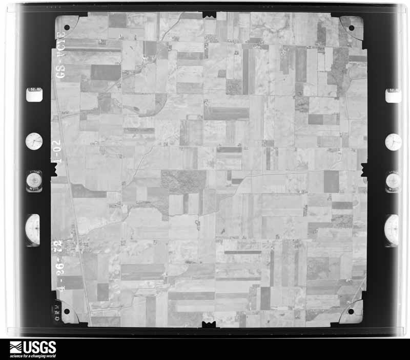
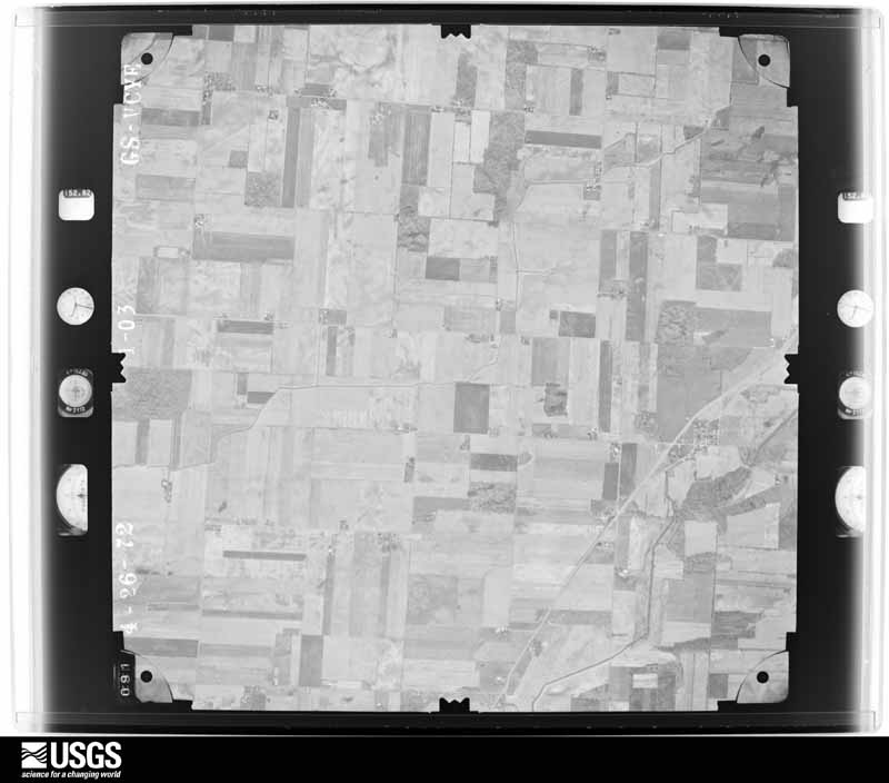
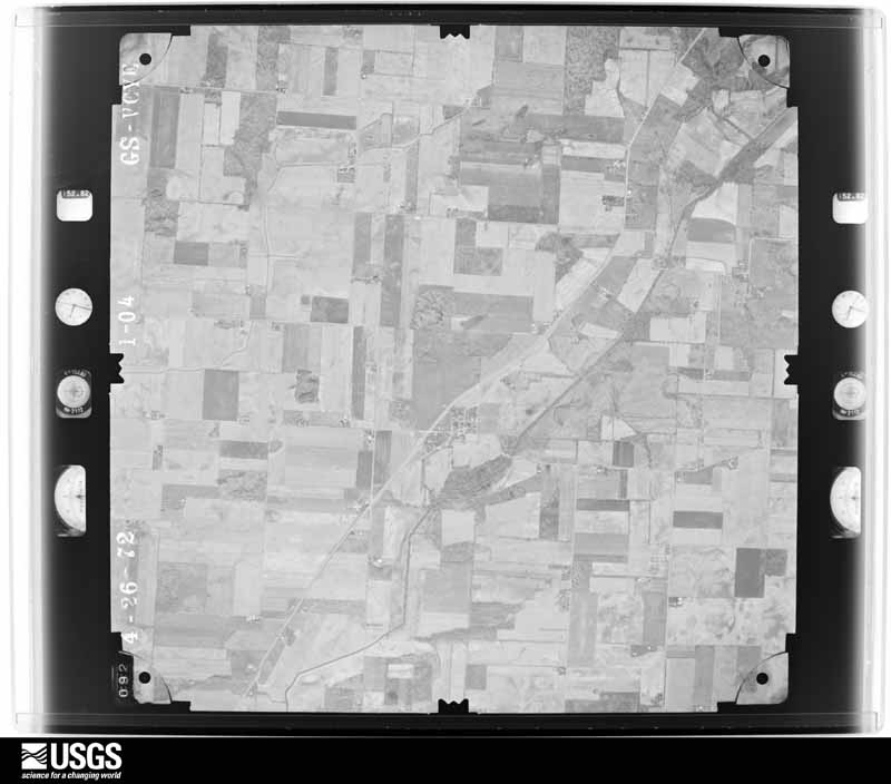
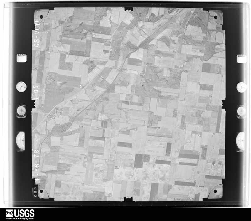
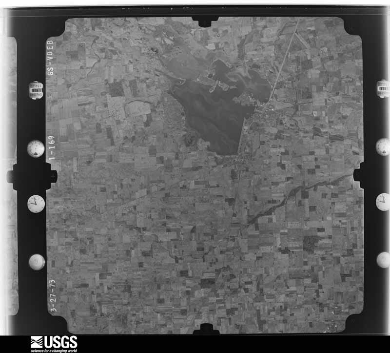
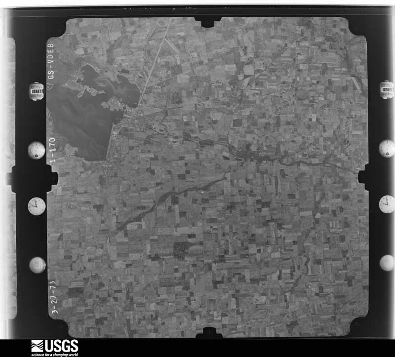
The county from the air
20 of 420 shown
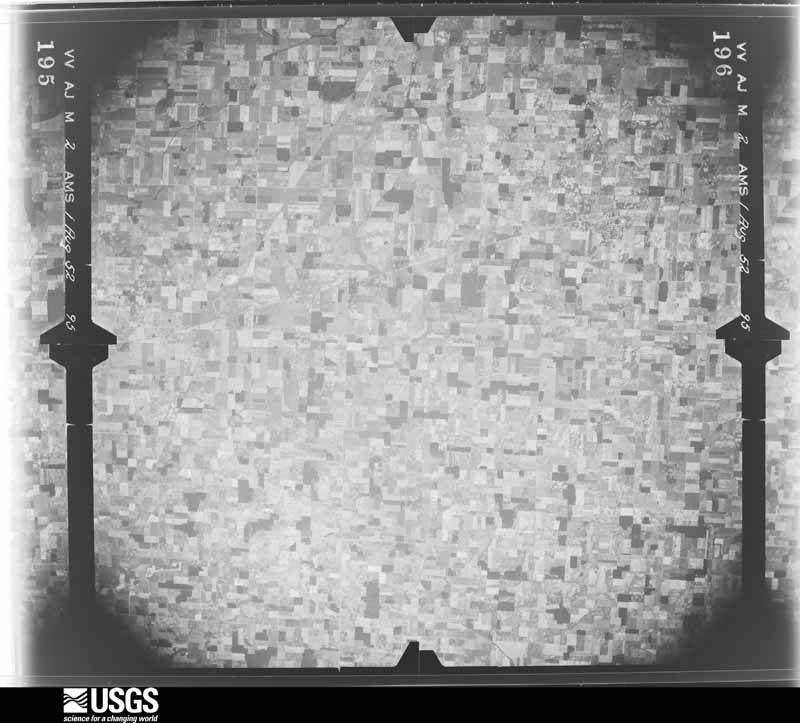
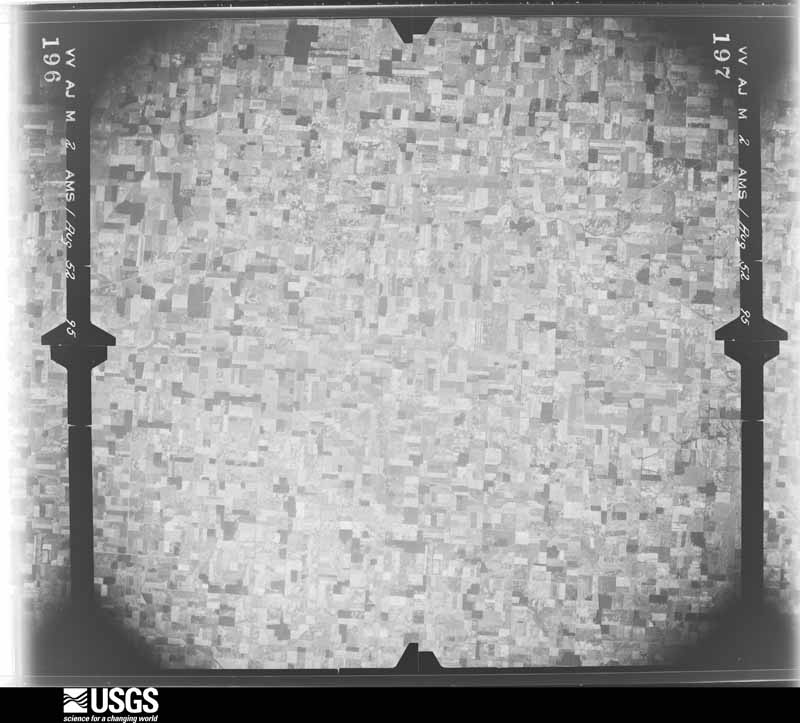
Flown by the U.S. Geological Survey
between 1937 and 1989, the Aerial Photo Single Frames collection is
the definitive mid-century view of the land: fields, roads and rivers
as the camera saw them. 420 frames touch this county; the
selection below spreads across the decades of flights (at most four
per year), so one flight cannot crowd out the rest. The full set is
free to browse and download at
EarthExplorer under the dataset Aerial Photo Single
Frames.
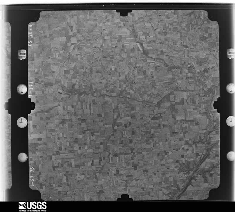
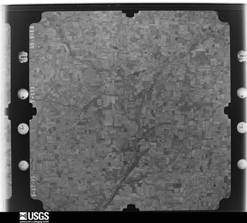
1952-08-01, scale 1:69000. U.S. Geological Survey aerial photograph.1952-08-01, scale 1:69000. U.S. Geological Survey aerial photograph.1952-08-01, scale 1:69000. U.S. Geological Survey aerial photograph.1952-08-01, scale 1:69000. U.S. Geological Survey aerial photograph.1959-10-21, scale 1:60000. U.S. Geological Survey aerial photograph.1959-10-21, scale 1:60000. U.S. Geological Survey aerial photograph.1959-10-21, scale 1:60000. U.S. Geological Survey aerial photograph.1959-10-21, scale 1:60000. U.S. Geological Survey aerial photograph.1971-05-16, scale 1:119203. U.S. Geological Survey aerial photograph.1971-05-16, scale 1:120317. U.S. Geological Survey aerial photograph.1971-05-16, scale 1:121613. U.S. Geological Survey aerial photograph.1971-05-16, scale 1:121480. U.S. Geological Survey aerial photograph.1972-05-01, scale 1:24000. U.S. Geological Survey aerial photograph.1972-05-01, scale 1:24000. U.S. Geological Survey aerial photograph.1972-05-01, scale 1:24000. U.S. Geological Survey aerial photograph.1972-05-01, scale 1:24000. U.S. Geological Survey aerial photograph.1973-10-01, scale 1:76000. U.S. Geological Survey aerial photograph.1973-10-01, scale 1:76000. U.S. Geological Survey aerial photograph.1973-10-01, scale 1:76000. U.S. Geological Survey aerial photograph.1973-10-01, scale 1:76000. U.S. Geological Survey aerial photograph.
City directories
3 volumes
The "who lived here, by year" answer:
pre-1929 public-domain directory volumes naming the county's people,
machine-read and searchable as text.
The thermometers that kept this
county's weather, and the gages that watched its rivers, as the
federal records hold them. The extremes below are measured values
from those records, not estimates.
SIDNEY 2 N1893 to 1978, hottest 42.8 C, coldest -28.9 C
NEW BREMEN1894 to 1943, hottest 41.1 C, coldest -31.7 C
SIDNEY 1 S1948 to 2026, hottest 38.3 C, coldest -28.3 C
Who lived here in 1950, one enumeration
district at a time, as the Census Bureau described each district.
Each row opens its official National Archives result, with Population
Schedules and ED Maps available there.
75-1Clinton township: Sidney city: Sidney city - That part of Ward 1 Bounded by City limits; City limits; City limits; Great Miami River
75-2Sidney city - That part of Ward 1 Bounded by Poplar; Great Miami River, Court, Miami Ave.; Dallas; Ohio Ave.
75-3Sidney city - That part of Ward 1 Bounded by Dallas, Miami Ave., Court; Great Miami River, City limits; City limits; Main Ave., Ohio Ave.
75-4Sidney city - That part of Ward 2 Bounded by City limits; City limits; Jefferson; Broadway Ave.
75-5Sidney city - That part of Ward 2 Bounded by City limits; Broadway Ave.; Jefferson; Wapakoneta Ave., City limits
75-6Sidney city - That part of Ward 2 Bounded by Wapakoneta Ave., Jefferson; Miami Ave.; Poplar; Ohio Ave.
75-7Sidney city - That part of Ward 2 Bounded by Jefferson; City limits, Groat Miami River; Poplar; Miami Ave.
75-8Sidney city - That part of Ward 3 Bounded by City limits; Wapakoneta Ave., Ohio Ave.; Maple; Oak Ave.
75-9Sidney city - That part of Ward 3 Bounded by City limits; Oak Ave.; Cleveland, Cincinnati, Chicago and St. Louis Railway; Highland Ave., Michigan, Sycamore Ave., Park, Linden Ave.
75-10Sidney city - That part of Ward 3 Bounded by City limits; Linden Ave., Park, Sycamore Ave., Michigan, Highland Ave.; Cleveland, Cincinnati, Chicago and St. Louis Railway; City limits
75-11Sidney city - That part of Ward 3 Bounded by Maple; Ohio Ave.; Poplar, Cleveland, Cincinnati, Chicago and St. Louis Railway; Oak Ave.
75-12Sidney city - That part of Ward 4 Bounded by Cleveland, Cincinnati, Chicago and St. Louis Railway, Poplar; Ohio Ave.; Water, Fair Ave.; Baltimore and Ohio Railroad
75-13Sidney city - That part of Ward 4 Bounded by Cleveland, Cincinnati, Chicago and St. Louis Railway; Baltimore and Ohio Railroad, Fair Ave.; Campbell; City limits
75-14Sidney city - That part of Ward 4 Bounded by Campbell, Fair Ave.; Baltimore and Ohio Railroad; City limits; City limits
75-15Sidney city - That part of Ward 4 Bounded by Fair Ave., Water; Ohio Ave., Main Ave.; City limits; Baltimore and Ohio Railroad
75-16Clinton township - That part north of State Hwys. 47 and 29, outside Sidney city
75-17Clinton township - That part south of State Hwys. 47 and 29, outside Sidney city
75-41Washington township - That part outside Lockington village
Businesses named in the atlases
29 businesses
Every Sanborn volume opens with a printed index
naming the town's mills, tanneries, hotels and works by proprietor. Those
indexes were read off the scanned sheets by machine and then matched to each
other, so a business surveyed four times appears here once, with the years it
survived. 5 of these 29 were named in more than one atlas. Each carries a
crop of the line it was read from: the spelling is the recogniser's and the
1880s lithographer's, and the scan behind it is the proof.
The
NOAA Storm Events Database holds
362 reports for this county, causing 4 deaths,
81 injuries and about $5,149,709 in recorded property damage.
Each settlement page carries the reports that name it.
Kind of event
Reports
Thunderstorm Wind
205
Hail
72
Flood
47
Flash Flood
21
Tornado
10
Lightning
5
Heavy Rain
2
The most serious of them, by death, then
injury, then recorded damage. The accounts are quoted exactly as the
forecast office filed them.
Several trees and power lines were downed in numerous locations. At the county fairgrounds in Sidney, three people were injured as winds knocked tree limbs into tents. In extreme southern Shelby County, thunderstorm winds destroyed a mobile home and injured a 15-year-old girl inside. Winds also destroyed a grain bin.
One hundred homes near Lake Loramie were flooded. Evacuations occurred near Fort Loramie, Jackson Center, and Port Jefferson. Numerous roads remained underwater across the northern half of the county.
A strong microburst caused damage to homes across the eastern part of the county. One house was blown off of its foundation, and several others sustained major damage. Numerous trees were downed across the area. Maximum wind speeds were estimated between 100 and 120 mph.
Although there were some very minor signs of damage on Studer Road, the first notable damage associated with this tornado occurred at a property on the east side of Marshall Road, where one tree was damaged and part of a barn roof was removed. On the west side of Darke Shelby Road, a house had a loss of some shingles and gutters, with at least a dozen trees damaged or uprooted. On the east side of this road, another home had some minor roof damage and a few trees were downed. A barn just north of this home was leveled, with sheet metal from the barn thrown downstream over a tenth of a mile.||At a property on the west side of Simon Road, several structures were damaged and parts of two barn roofs were removed. Another barn was partially collapsed. On Miller Road, one house had a large number of shingles removed. Across Miller Road to the east, a large concrete silo was downed into a barn. Some tree damage was noted in a stand of trees east of Miller Road and south of Redmond Road.||The last visible damage occurred at a property north of Redmond Road, just west of Walzer Road. A barn at this property had a portion of the roof removed from the north facing section of the roof. At least two windows were blown out from the west side of another building at this property. No additional damage was observed east of Walzer Road.
Lake Loramie State Park was evacuated as the lake came out of its banks. Numerous roads were flooded across the northern half of the county. County Road 25A and nearby parkland were underwater in Sidney.
A house along State Route 48 near the Shelby-Miami county line was set on fire by a lightning strike. Firefighters from surrounding villages responded to the blaze, which took nearly two hours to extinguish. The five year old home was completely destroyed. There were no injuries, as the homeowners were out of town at the time of the fire.
The first evidence of tornadic damage was on Wenger Road, where two barns were destroyed. Numerous trees were uprooted or snapped and a residence had minor roof damage. Additional damage was noted along Amsterdam Road where a roof was lifted off of a barn and several trees were uprooted. Farther east, more trees were uprooted and a garage was damaged along County Road 25A. The tornado dissipated just west of I-75.
The first tornadic damage occurred along Wells Road, just west of County Road 25A, where a RV was overturned and a pair of properties sustained siding damage. Additionally, two trees were downed along County Road 25A. The tornado then crossed I-75, where it blew two tractor trailers over onto their sides. The tornado then crossed Highland Kies Road, where it blew down a tree, destroyed a shed, and blew shingles off of a residence and garage. Finally, the tornado destroyed a large outbuilding on Sidney Freyburg Road south of Amsterdam Road before dissipating.
Numerous trees were downed in Ft. Loramie, Newport and Sidney and a barn was damaged near Hardin. In Sidney, some trees fell on houses, some falling trees ripped up sidewalks, and a roof was blown off a shed.
Trees were downed. Several structures were struck by lightning and caught fire. A barn in Russia burnt to the ground after being struck by lightning and 15 head of cattle perished.
Two power poles and a silo were blown over. One tree was reported down and another was broken. These occurrences were due to damaging thunderstorm winds.
Five homes sustained roof damage and a barn was destroyed to the southwest of Botkins. A semi-trailer was flipped on its side and numerous trees were knocked down, including a few on houses. The damage was from a possible microburst.
Numerous trees were downed, and a metal shed was blown down on State Route 47, 10 miles north of Russia. Trees were also blown into a car just east of Sidney.
The roof of a 80 foot tall silo was blown mostly off and twisted. Also, a hoop building tarp was blown off with PVC and metal tubing snapped and left in various spots. Twenty to thirty tires on the backside of a silage pile were picked up off the pile and pushed into a wheat field.
Two barns had their tin roofs removed and a wooden fence was downed around a pool along Hardin-Wapakoneta Road. Several trees and power poles were also knocked down in this vicinity.
Numerous trees and large limbs were downed across the northern half of the county. One tree fell on a vehicle and another on a house in Sidney, causing minor damage to both.
Several homes were damaged by falling trees. Numerous trees and limbs were knocked down, and a few road signs were blown over. A 63 mph gust was measured in Anna.
The Survey's mineral resources record
lists 21 workings inside this county. 8 still
produce and 13 are closed or unrecorded. Each settlement
page carries the workings within five miles of it.
Commodity
Workings
Sand and Gravel, Construction
16
Stone, Crushed/Broken
3
Limestone, General
2
The least common of them first, because a
county's hundredth gravel pit says nothing its first ten did not.
Museum specimens collected inside this
county and catalogued with a date and a place: 486 of them, by
kingdom 406 animalia, 40 fungi, 39 plantae, 1 unrecorded. Each is a physical object in a named collection, not a
sighting. Held by Ohio State University - Fish Division, Columbus, OH (OSUM), Ohio State University - Bird Division, Columbus, OH (OSUM), YPM, NY, Ohio State University - Mammal Division, Columbus, OH (OSUM), INHS among others, and each settlement page carries
the specimens collected near it.
The oldest of them. A specimen proves
something was collected on that day; its absence proves nothing.
History of Shelby County, Ohio, and Representative Citizens devotes a chapter to each township:
its boundaries and streams, who settled it and when, the mills, the
schools and the churches. All 11 are reproduced here in full. Each row
shows the township's own shape and where it lies in the county, drawn from
the Census Bureau's boundary. Which settlements belong to which township
is computed from that same boundary, not taken from the book.
Everyone History of Shelby County, Ohio, and Representative Citizens stops to write about, with
the section that describes them. Among them are the men who founded the
place and governed the Territory. Each name opens the passage itself, in
the words of 1913.
Named settlements recorded in the Geographic Names
Information System, each with the topographic sheets covering it. Villages,
hamlets and abandoned places alike. Each is shown with the watercourse or
landform it stands on and the survey quadrangle it falls on. The 1
places that were also surveyed for fire insurance come first, with the
number of atlases and photographs held for them.
The complete index, with nothing left out.
Each of these is a separate record with its own page: a federal survey
report, or the case file that argued a property on to the National
Register. Both are public domain and reproduced word for word.
Topographic sheets. USGS Historical Topographic Map Collection, county index, measured from the bulk metadata.
Fire insurance maps. Library of Congress Sanborn collection, faceted to this county.
Photographs. Each place queried individually against the Library of Congress Prints and Photographs search.
Wildfire. Short, Karen C. 2022. Spatial wildfire occurrence data for the United States, 1992-2020 [FPA_FOD_20221014]. 6th Edition. Fort Collins, CO: Forest Service Research Data Archive. https://doi.org/10.2737/RDS-2013-0009.6 Collected with United States Government funding and usable without additional permissions or fees.
Specimens. Global Biodiversity Information Facility (GBIF), https://www.gbif.org/. Only records licensed CC0 or CC BY are used. Records licensed CC BY-NC are excluded because this site carries advertising. Images are checked individually and any whose licence is non-commercial, no-derivatives or unreadable is refused.
Mines and quarries. USGS Mineral Resources Data System (MRDS) https://mrdata.usgs.gov/mrds/ A work of the United States government, no copyright under 17 U.S.C. 105.
Storms. NOAA National Centers for Environmental Information, Storm Events Database https://www.ncei.noaa.gov/stormevents/ A work of the United States government, no copyright under 17 U.S.C. 105. Narratives are quoted verbatim from the National Weather Service report and are not edited or summarised.
 Block
Block