 Block
Block
North Bend, Ohio
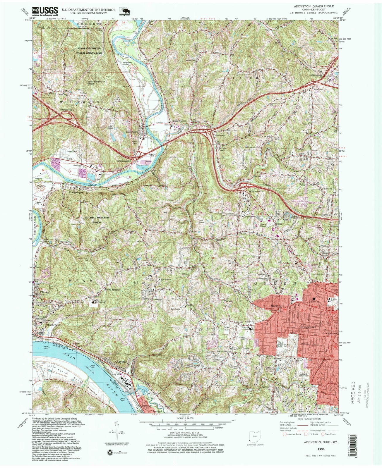
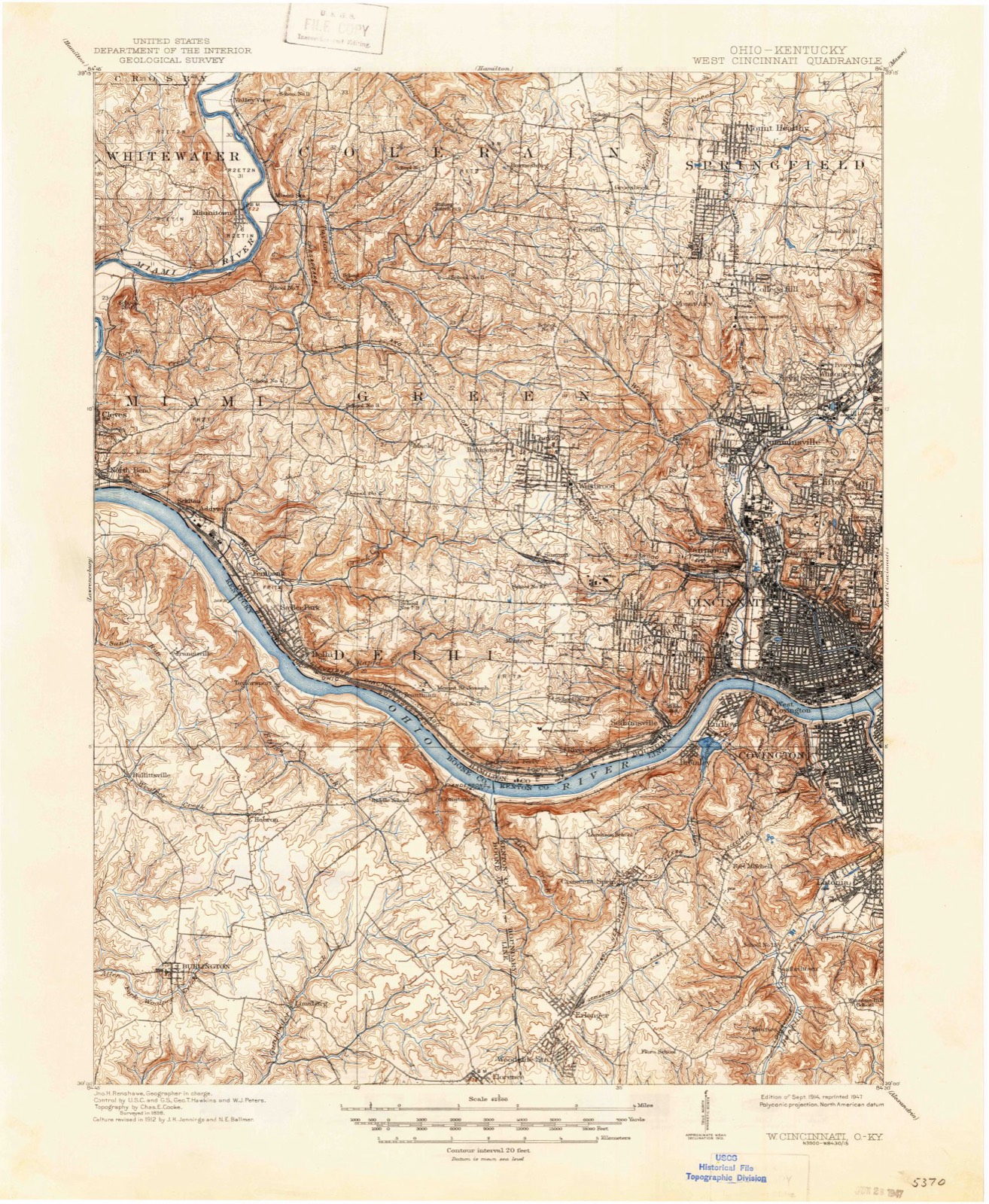
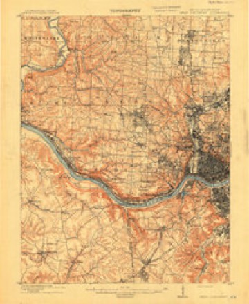
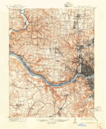
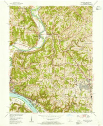
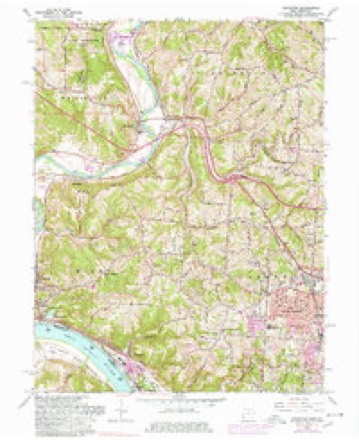
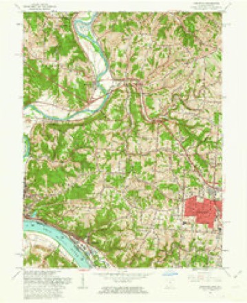
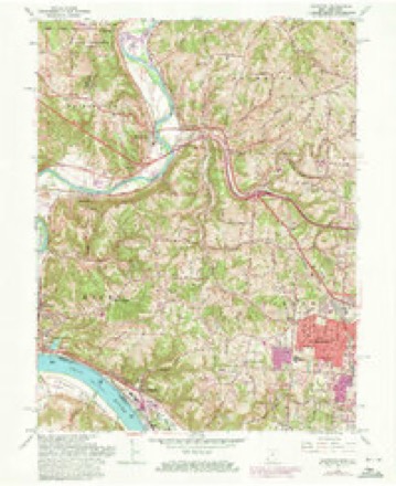
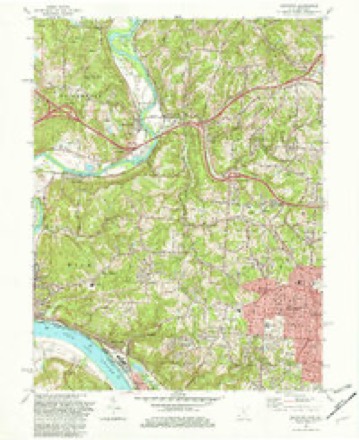
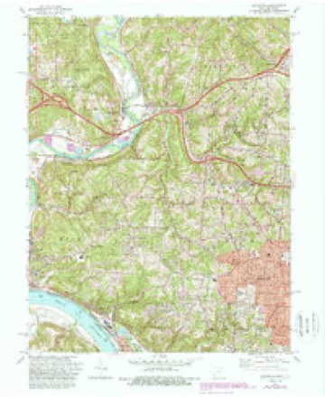
19 topographic sheets cover this place, the earliest surveyed in 1914 and the latest in 1996. It stands in Miami Township. It lies in ZIP code area 45052. The Survey maps it on the Addyston quadrangle.
Then and now
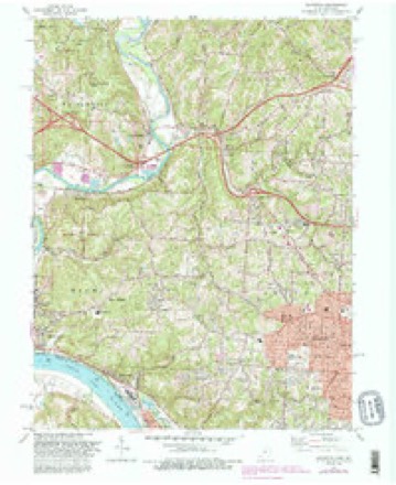
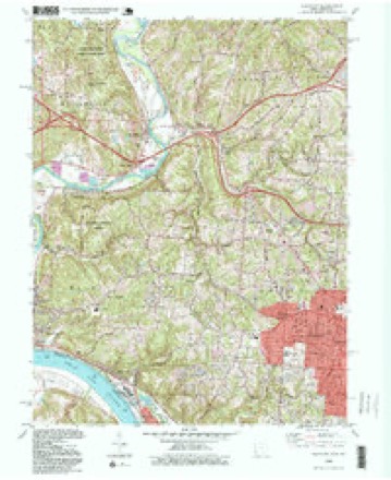
1914 to 1996The same ground, surveyed 82 years apart. Drag the handle to wipe between them. Both sheets are United States Geological Survey originals; neither has been altered.
Compare 1914 against another survey:
Topographic sheets covering this place
19 sheetsMatched by testing this settlement's coordinate against the published boundary of every sheet in the United States Geological Survey's historical collection. Each opens the scanned sheet at the Survey.
- 1914 USGS West Cincinnati quadrangle1:62500
- 1914 USGS West Cincinnati quadrangle1:62500
- 1914 USGS West Cincinnati quadrangle1:62500
- 1914 USGS West Cincinnati quadrangle1:62500
- 1953 USGS Cincinnati quadrangle1:250000
- 1953 USGS Cincinnati quadrangle1:250000
- 1953 USGS Cincinnati quadrangle1:250000
- 1954 USGS Addyston quadrangle1:24000
- 1957 USGS Cincinnati quadrangle1:250000
- 1960 USGS Addyston quadrangle1:24000
- 1960 USGS Addyston quadrangle1:24000
- 1960 USGS Addyston quadrangle1:24000
- 1982 USGS Addyston quadrangle1:24000
- 1982 USGS Addyston quadrangle1:24000
- 1982 USGS Addyston quadrangle1:24000
- 1986 USGS Cincinnati quadrangle1:100000
- 1986 USGS Cincinnati quadrangle1:100000
- 1986 USGS Cincinnati quadrangle1:100000
- 1996 USGS Addyston quadrangle1:24000







In the county-history sources
8,679 words on this townshipHistory of Hamilton County, Ohio, with Illustrations and Biographical Sketches, published 1881 names this settlement in its chapter on Miami Township. These are the passages that mention it, exactly as the scans read.
The township lies in fractional ranges one and two, town one of each. It has but nine full sections, all of them in range two, and none in the peninsula below North Bend and Cleves; but has twenty-two fractional sections, and thus secures a very respectable amount of territory. Its acres count up fourteen thousand and fiftyseven. Its extreme length is on the eastern border and for about three-fourths of a mile in the interior - just six sections, this strip being included between the .same parallels which bound Green township on the north and south. The shortest length is between the point of the elbow of the Great Miami, at the south end of Cleves, and the Ohio river about two-thirds of a mile. The greatest breadth is on a line crossing the township east and west from the northernmost point in the great bend of the Ohio, from which North Bend is named, not quite six miles; the shortest is on the extreme north line, between the Great Miami and the northeast corner of the township - three-quarters of a mile. From the east line of the township to the meridian drawn from the southwest corner that is, the State line, the distance is over seven miles, and from the southwest corner - the extreme end of the peninsula - to the northeast corner is just ten miles. Miami is thus seen to be a very singularly shaped township, deeply indented on the south side by the Ohio river, and on the north and west in several places by the windings of the Great Miami.
Passage source: History of Hamilton County, Ohio, with Illustrations and Biographical Sketches, published 1881.
Within Miami township the Ohio receives from the northward th? waters of Muddy creek and the west fork of Muddy, the latter of which lies altogether in the southeastern part of this township; also Indian creek, which enters the river at North Bend station, and several minor streams. Along the northwestern borders of the township flows the South fork of Taylor's creek, leaving the township at the northwest corner, just opposite to which, at the northwest corner, the main stream of Taylor's creek, flowing down from Colerain township, discharges its waters. A mile due north of Cleves Jordan creek debouches also into the Great Miami, after flowing nearly three-fourths of the way across the township. One or two petty and probably unnamed brooks are also affluents of this river on the Miami side. Beside this river, above Cleves, the valley is wide and low, yielding great crops of corn in favorable seasons; below Cleves Ritenhouse Hill, Fort Hill, and the general ridge between the two rivers close down pretty closely upon the banks of the streams, until their junction is neared, when the country again becomes low and flat, and subject in part to frequent overflow. The highlands continue along the Ohio to the southeast boundaries of the township; but have ample room at the foot for the tracks of the railroads, a fine wagon road, and the sites of several villages and railway stations. They afford many picturesque views up and down the river, and across to the Kentucky shore; and some of the finest suburban residences in the county, as that of Dr. Warder near North Bend, have consequently been located upon these heights. The general character of the hill country of Hamilton county is maintained to the northward and westward until the valley of the Great Miami is reached - much broken and diversified, however, by the numerous streams that cut through and down the hills. Across them, from the direction of Cincinnati, comes in the Cleves turnpike, having the village of that name on the west for its terminus. There is a singular scarcity of north and south roads in the township, but a sufficiency of highways, with a general direction of east and west. The Ohio & Mississippi, and the Cincinnati, Indianapolis, St. Louis & Chicago railroads run parallel to each other and to the bank of the Ohio in this township until just past North Bend station, where the track of the latter diverges rapidly to the northward, passes under the ridge between North Bend and Cleves by a tunnel, and leaves the township, going westward, by a bridge over the Great Miami, half a mile northwest of Cleves. The Ohio & Mississippi continues its course along the Ohio beyond North Bend about five miles, to a point about half a mile above the mouth of the Great Miami, when it passes into Indiana.
Passage source: History of Hamilton County, Ohio, with Illustrations and Biographical Sketches, published 1881.
The first officers of the Miami township, named by appointment of the court at the time of its erection, were in part as follows: Lynde Elliott, clerk; Darius C. Orcutt, overseer of roads; Henry Brazier, overseer of the poor. The cattle brand for the township was fixed by the court as the letter D.
Passage source: History of Hamilton County, Ohio, with Illustrations and Biographical Sketches, published 1881.
Machine-read from a century-old scan, so expect the errors a machine makes: misspelled names, dropped words, stray characters.
Read the whole chapter on Miami Township - it names this place 7 more 7 times.
Specimens collected near this place
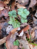
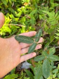
12 of 1,042 shownRegional context, not property-specific evidence. Museums hold 1,042 specimens collected within 10 miles of North Bend between 1835 and 1975: 449 Fungi, 348 Animalia, 210 Plantae, 27 Protozoa, 7 Unrecorded, 1 Chromista. 12 distinct Species records are shown. Collected by A Schwartz, A. P. Morgan, A. R. Gaufin and others. Each is a physical object with a catalogue number, and each entry opens the museum's record. This is what was collected and kept, not a survey of what lives here - nothing can be concluded from a species being absent.
| Image | Species | Year | Collected by | Where, as recorded |
|---|---|---|---|---|
 | Carex davisii Schwein. & Torr. | 1835 | Frank | in ditione Miami civitatis Ohio |
 | Mentha arvensis var. glabrata (Benth.) Fernald | 1835 | Collector unspecified | Miami. |
 | Sanicula canadensis L. | 1835 | Frank | in ditione Miami civitatis Ohio |
 | Desmodium Desv. | 1836 | Short, C.W. | Fernbank - ad ripas fluminis Ohio prope 'North Bend' [banks of Ohio River near North Bend]. |
 | Dicentra Bernh. | 1836 | Short, C.W. | Fernbank [=Fernbank Park] ad ripas fluminensis Ohio, prope North Bend, Kentucky. |
 | Monotropa uniflora L. | 1836 | Haupt, J.G. | 4 mile NW. Cincinnati |
 | Euphorbia cordifolia Elliott | 1839 | C. W. Short | Ohio River |
 | Viola L. | 1840 | Short, C.W. | In America boerali prope Fernbank, ad ripas fluminis Ohio, prope North-Bend (Kentucky). | Fernbank - ad ripas fluminis Ohio, prope ''North Bend.'' [=In northern America, near Fernbank, beside the Ohio River, near North Bend (Kentucky).] |
| Actaea alba (L.) Mill. | 1841 | Sanders, Alfred | 2.5 m. west Cincinnati | |
| Dasyscyphus viridulus (Schrad.) Sacc. | 1898 | A. P. Morgan | ||
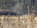 | Lanius excubitor borealis Vieillot, 1808 | 1898 | J. N. Proctor | Westwood |
| Sialia sialis sialis (Linnaeus, 1758) | 1898 | not recorded | Westwood |
All 1,042 specimens within 10 miles, at the Global Biodiversity Information Facility.
Mines and quarries near this place
10 of 21 shownRegional context, not property-specific evidence. The federal mineral resources record lists 21 workings within 5 miles of North Bend: 13 past producers, 6 producers, 2 plants. 8 still produce. What was taken out: Sand and Gravel, Construction. Distance is straight-line from the map coordinates, so a quarry counted here may appear on a neighbouring settlement's page as well.
| Where | Site | Commodity | Status | Recorded |
|---|---|---|---|---|
| Ashcraft Main Pit | Sand and Gravel, Construction | Producer | ||
| Ashcraft Sand and Gravel, Inc. | Sand and Gravel, Construction | Past Producer | ||
| Bunnell Gravel Pit Number 1 | Sand and Gravel, Construction | Past Producer | Sedimentary | |
| Cleves Plant Number 6 Pit | Sand and Gravel, Construction | Producer | ||
| Cleves Plant Number 6 and Pit | Sand and Gravel, Construction | Past Producer | Sedimentary | |
| East Miami Pit | Sand and Gravel, Construction | Past Producer | Sedimentary | |
| East Miami Pit & Mill | Sand and Gravel, Construction | Plant | ||
| Eaton Sand and Gravel Pit | Sand and Gravel, Construction | Past Producer | Sedimentary | |
| Eaton Sand and Gravel Pit | Sand and Gravel, Construction | Producer | ||
| Hooven Pit | Sand and Gravel, Construction | Past Producer | Sedimentary |
Storms near this place
7 since 2008Regional context, not property-specific evidence. The National Weather Service names North Bend in 7 storm reports between 2008 and 2018: 3 thunderstorm wind, 3 hail, 1 flash flood. No death or injury is recorded in these reports. Each account below is quoted exactly as the forecast office filed it, from the NOAA Storm Events Database, and each date opens the federal record of that event.
| When | Event | Place named | Harm | What the report says |
|---|---|---|---|---|
| September 2018 | Flash Flood | North Bend | $30,000 | There were multiple high water reports across western Hamilton County from Green Township to the Indiana border. The depth of the water on roads was reported to be up to two feet deep in places. Seven homes were also flooded in the Cleves area. |
| July 2008 | Thunderstorm Wind | North Bend | $8,000 | Trees were knocked down across the western Cincinnati suburbs. |
| July 2012 | Thunderstorm Wind | North Bend | $3,000 | Several large trees were snapped due to damaging thunderstorm winds. |
| August 2014 | Thunderstorm Wind | North Bend | $2,000 | One tree was knocked down on electrical wires near the intersection of Cliff Road and Brower Road. |
| August 2015 | Hail | North Bend | - | no account filed |
| May 2011 | Hail | North Bend | - | no account filed |
| June 2011 | Hail | North Bend | - | no account filed |
Nearest settlements
The eight closest, with where each one stands in the county. Distances are straight-line, computed from the Geographic Names Information System coordinates.
| Map | Place | Distance | Sheets |
|---|---|---|---|
| Cleves | 0.6 miles | 19 | |
| Sekitan | 1.5 miles | 19 | |
| Miami Heights | 1.7 miles | 19 | |
| Valley Junction | 1.9 miles | 20 | |
| Hooven | 1.9 miles | 20 | |
| Addyston | 2.3 miles | 19 | |
| Cilley (historical) | 2.6 miles | 20 | |
| Elizabethtown | 3.0 miles | 20 |
Provenance
This settlement is recorded in the Geographic Names Information System as feature 1065159. The sheet list is computed by point-in-boundary test against the United States Geological Survey's historical topographic inventory. Both are works of the United States government and carry no copyright under 17 U.S.C. 105.
Specimens. Global Biodiversity Information Facility (GBIF), https://www.gbif.org/. Only records licensed CC0 or CC BY are used. Records licensed CC BY-NC are excluded because this site carries advertising. Images are checked individually and any whose licence is non-commercial, no-derivatives or unreadable is refused.
Mines and quarries. USGS Mineral Resources Data System (MRDS) https://mrdata.usgs.gov/mrds/ A work of the United States government, no copyright under 17 U.S.C. 105.
Storms. NOAA National Centers for Environmental Information, Storm Events Database https://www.ncei.noaa.gov/stormevents/ A work of the United States government, no copyright under 17 U.S.C. 105. Narratives are quoted verbatim from the National Weather Service report and are not edited or summarised.