 Block
Block
North Dighton, Massachusetts
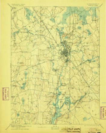
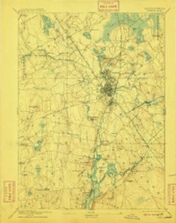
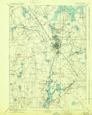
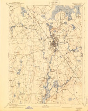
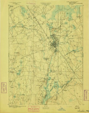
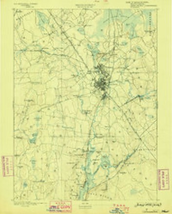
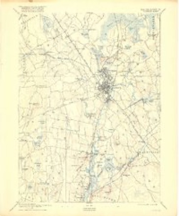
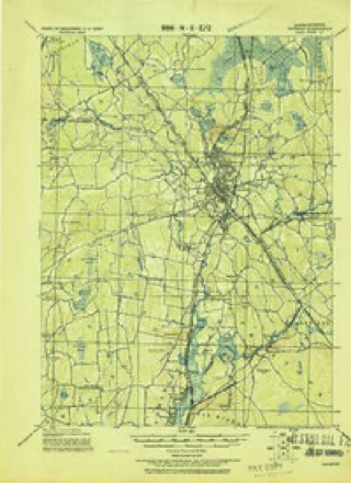
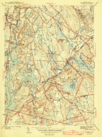
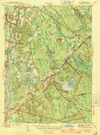
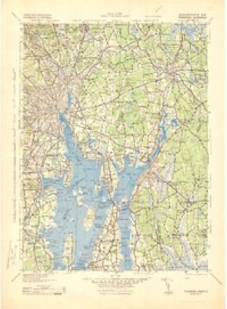
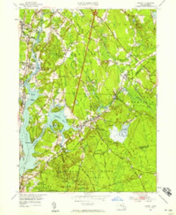
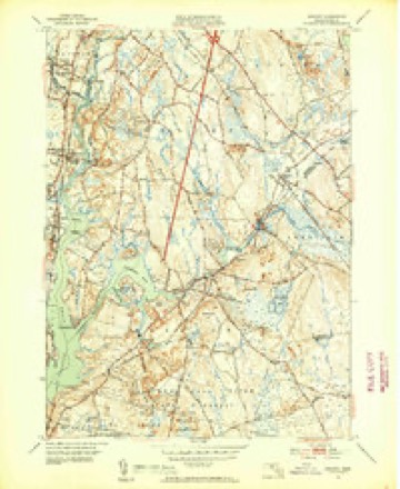
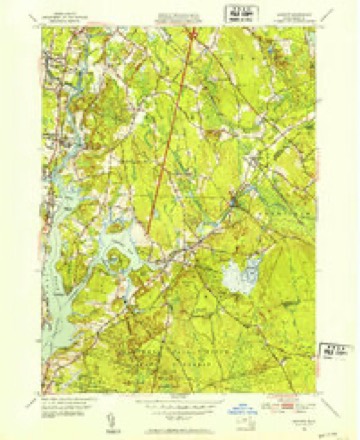
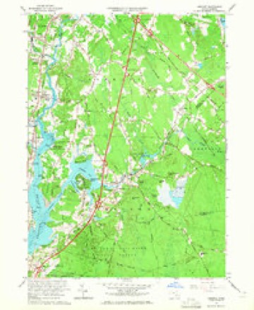
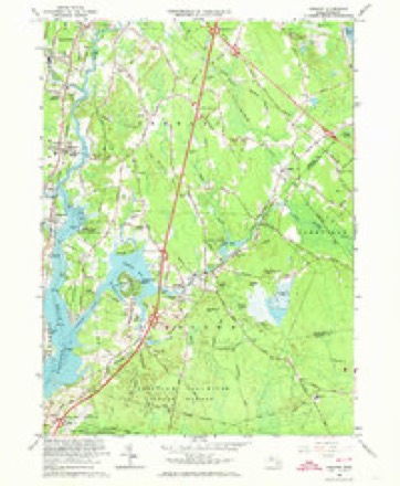
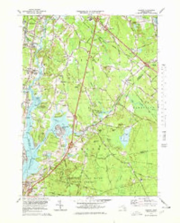
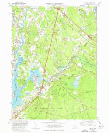
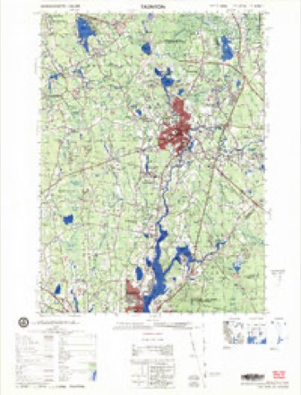
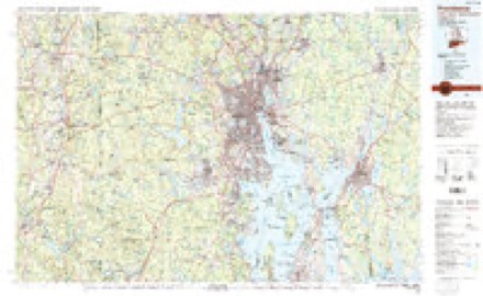
34 topographic sheets cover this place, the earliest surveyed in 1885 and the latest in 1985. It stands in Dighton town. It lies in ZIP code area 02764. It stands on Threemile River. The Survey maps it on the Somerset quadrangle.
Then and now
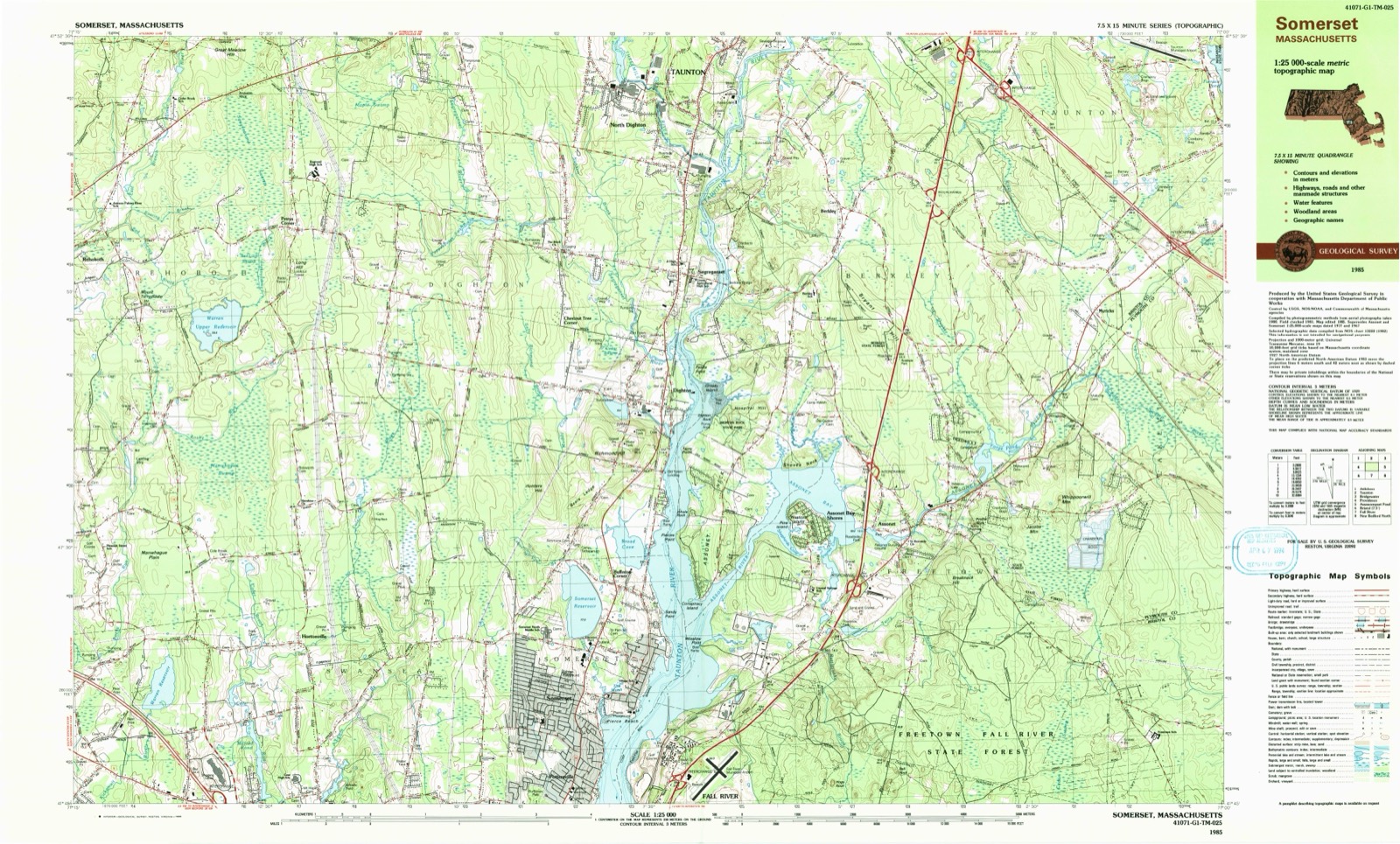
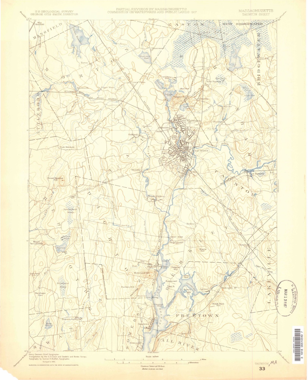
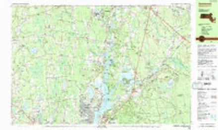
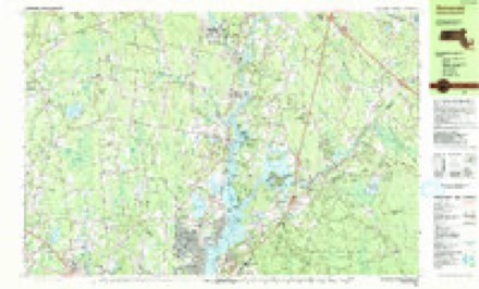
1885 to 1985The same ground, surveyed 100 years apart. Drag the handle to wipe between them. Both sheets are United States Geological Survey originals; neither has been altered.
Topographic sheets covering this place
34 sheetsMatched by testing this settlement's coordinate against the published boundary of every sheet in the United States Geological Survey's historical collection. Each opens the scanned sheet at the Survey.
- 1885 USGS Taunton quadrangle1:62500
- 1888 USGS Taunton quadrangle1:62500
- 1893 USGS Taunton quadrangle1:62500
- 1893 USGS Taunton quadrangle1:62500
- 1893 USGS Taunton quadrangle1:62500
- 1893 USGS Taunton quadrangle1:62500
- 1893 USGS Taunton quadrangle1:62500
- 1893 USGS Taunton quadrangle1:62500
- 1893 USGS Taunton quadrangle1:62500
- 1918 USGS Taunton quadrangle1:62500
- 1943 USGS Assonet quadrangle1:31680
- 1943 USGS Assonet quadrangle1:31680
- 1943 USGS Providence quadrangle1:125000
- 1947 USGS Providence quadrangle1:250000
- 1947 USGS Providence quadrangle1:250000
- 1947 USGS Providence quadrangle1:250000
- 1947 USGS Providence quadrangle1:250000
- 1947 USGS Providence quadrangle1:250000
- 1948 USGS Providence quadrangle1:250000
- 1951 USGS Assonet quadrangle1:24000
- 1951 USGS Assonet quadrangle1:31680
- 1951 USGS Assonet quadrangle1:31680
- 1957 USGS Providence quadrangle1:250000
- 1958 USGS Providence quadrangle1:250000
- 1963 USGS Assonet quadrangle1:24000
- 1963 USGS Assonet quadrangle1:24000
- 1963 USGS Providence quadrangle1:250000
- 1977 USGS Assonet quadrangle1:25000
- 1977 USGS Assonet quadrangle1:25000
- 1977 USGS Assonet quadrangle1:24000
- 1979 USGS Taunton quadrangle1:50000
- 1984 USGS Providence quadrangle1:100000
- 1985 USGS Somerset quadrangle1:25000
- 1985 USGS Somerset quadrangle1:25000









In the county-history sources
35,840 words on this townshipHistory of Bristol County, Massachusetts, with Biographical Sketches of Many of Its Pioneers and Prominent Men, published 1883 names this settlement in its chapter on Dighton Town. These are the passages that mention it, exactly as the scans read.
The most striking feature of the architecture of one of these old houses is the huge chimney, around which the house was apparently built. The kitchen fireplace was usually an enormous chasm, in which cord-wood was burnt without sawing, and in which one could sit and look up the sooty cavern to the sky. On cold winter evenings the huge high-backed settle was drawn up in front of the fire to keep off draughts. The mug of cider was brought up from the cellar, and perhaps a dish of apples or nuts passed around, or oysters were roasted on the coals. While the fire blazed up brightly there was little need of the tallow candles which flared and sputtered and sent miniature eruptions of melted grease down the candlesticks. Punctually at nine o'clock the family retired to their four-post bedsteads and feather-beds, to be up in the morning at break of day or earlier.
Passage source: History of Bristol County, Massachusetts, with Biographical Sketches of Many of Its Pioneers and Prominent Men, published 1883.
The pay for doing the town's business was very moderate, as were the prices for other kinds of work. The town clerk and the selectmen charged at the rate of three shillings a day, and land surveyors had the same pay. Town-meetings were held in the meetinghouse. This saved the expense of a town hall, and was appropriate enough, as much of the town busipess related to church matters. It was the town that built the meeting-house, hired the minister, and collected his rates.
Passage source: History of Bristol County, Massachusetts, with Biographical Sketches of Many of Its Pioneers and Prominent Men, published 1883.
The records of town-meetings for many years after the town was incorporated contain but little that would interest the general reader. They are mostly brief entries, poorly written and worse spelled, of the election of town officers and representatives to the General Court, varied by transcripts of bills paid by the treasurer. Some of the town offices that were annually filled then have long since been abolished. Such were the cullers of flax, clerk of the market, tithing men, and hog-reeves. What were the duties of clerk of the market in a farming community, such as Dighton was then, I have not been able to find out. The tithingman was required by law to be selected from the " most prudent and discreet inhabitants," and he was a sort of inspector-general of the township. He was required "to inspect all licensed or unlicensed houses where they shall have notice or have grounds to suspect that any person or persons doe spend their tyme or estates by night or day in tippling, gaming, or otherwise unprofitably, or doe sell or retayle strong drink, wine, cider, rumm, brandey, jerry, or methylin without a license." They were also required " to inspect the manners of all disorderly persons, and to present to the magistrate the names of all single persons who live from under family government, stubborn and disorderly children and servants, night-walkers, tipplers, and Sabbath-breakers, by night or day, and such as absent themselves from the worship of God on the Lord's dayes." The tithingman was required to be provided, at the expense of the town, with "a black staff, two feet long, tipt at one end with brass about
Passage source: History of Bristol County, Massachusetts, with Biographical Sketches of Many of Its Pioneers and Prominent Men, published 1883.
Machine-read from a century-old scan, so expect the errors a machine makes: misspelled names, dropped words, stray characters.
Read the whole chapter on Dighton Town - it names this place 9 more 9 times.
Fires near this place
49 since 2015Regional context, not property-specific evidence. The federal wildfire occurrence database lists 49 fires within 5 miles of North Dighton between 2015 and 2020, burning about 42 acres in total. None started naturally. 2 were recorded as arson. Distance is straight-line from the map coordinates, so a fire counted here may appear on a neighbouring settlement's page as well.
| Reported cause | Fires |
|---|---|
| Missing data/not specified/undetermined | 24 |
| Debris and open burning | 15 |
| Recreation and ceremony | 4 |
| Arson/incendiarism | 2 |
| Smoking | 2 |
| Power generation/transmission/distribution | 1 |
| Misuse of fire by a minor | 1 |
The most recent of them, most recent first, with the day each was reported and the service that recorded it.
| Date | Cause | Size | Reported by | Name on the report |
|---|---|---|---|---|
| 8 September 2020 | Recreation and ceremony | under an acre | Massachusetts Bureau of Forest Fire Control | not named |
| 16 September 2015 | Missing data/not specified/undetermined | under an acre | Massachusetts Bureau of Forest Fire Control | not named |
| 6 August 2020 | Missing data/not specified/undetermined | 1.5 acres | Massachusetts Bureau of Forest Fire Control | not named |
| 3 August 2020 | Debris and open burning | under an acre | Massachusetts Bureau of Forest Fire Control | not named |
| 11 August 2020 | Misuse of fire by a minor | under an acre | Massachusetts Bureau of Forest Fire Control | not named |
| 10 August 2020 | Missing data/not specified/undetermined | under an acre | Massachusetts Bureau of Forest Fire Control | not named |
| 10 August 2020 | Recreation and ceremony | under an acre | Massachusetts Bureau of Forest Fire Control | not named |
| 10 August 2015 | Missing data/not specified/undetermined | under an acre | Massachusetts Bureau of Forest Fire Control | not named |
Settlements close enough to share some of these fires:
Specimens collected near this place
12 of 1,009 shownRegional context, not property-specific evidence. Museums hold 1,009 specimens collected within 10 miles of North Dighton between 1855 and 1975: 692 Animalia, 220 Plantae, 88 Fungi, 7 Chromista, 2 Unrecorded. 12 distinct Species records are shown. Collected by ?, A E Schuyler, A. A. Eaton and others. Each is a physical object with a catalogue number, and each entry opens the museum's record. This is what was collected and kept, not a survey of what lives here - nothing can be concluded from a species being absent.
| Image | Species | Year | Collected by | Where, as recorded |
|---|---|---|---|---|
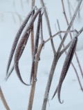 | Apocynum cannabinum L. | 1855 | F. C. Seymour | Rehoboth |
 | Astur Lacepède, 1799 | 1860 | C. D. Lincoln | Taunton |
 | Carex panicea L. | 1863 | J. H. Dean | |
 | Carex L. | 1864 | J. H. Dean | Taunton. |
 | Carex vulpinoidea Michx. | 1864 | J. H. Dean | |
 | Hypoxis hirsuta (L.) Coville | 1874 | not recorded | |
 | Chelidonium majus L. | 1875 | not recorded | |
 | Lygodium palmatum (Bernh.) Sw. | 1875 | not recorded | |
 | Berberis vulgaris L. | 1876 | not recorded | |
 | Empidonax minimus (W.M.Baird & S.F.Baird, 1843) | 1877 | C.P. Snow | Taunton, North |
 | Chaetura pelagica (Linnaeus, 1758) | 1878 | C. F. Snow | MASSACHUSETTS: Bristol County; Taunton |
 | Coccyzus erythropthalmus (A.Wilson, 1811) | 1878 | not recorded | Taunton |
All 1,009 specimens within 10 miles, at the Global Biodiversity Information Facility.
Mines and quarries near this place
5 within 5 milesRegional context, not property-specific evidence. The federal mineral resources record lists 5 workings within 5 miles of North Dighton: 3 producers, 1 past producer, 1 unknown. 3 still produce. What was taken out: Sand and Gravel, Construction, Stone, Crushed/Broken. Distance is straight-line from the map coordinates, so a quarry counted here may appear on a neighbouring settlement's page as well.
| Where | Site | Commodity | Status | Recorded |
|---|---|---|---|---|
| Taunton Plant | Stone, Crushed/Broken | Producer | ||
| King Trucking Pit | Sand and Gravel, Construction | Producer | ||
| Mc Cabe Sand and Gravel Co | Sand and Gravel, Construction | Past Producer | Sedimentary | |
| Mccabe Sand & Gravel Pit | Sand and Gravel, Construction | Unknown | ||
| Mccabe Sand and Gravel Company Pit | Sand and Gravel, Construction | Producer |
Storms near this place
1 since 2017Regional context, not property-specific evidence. The National Weather Service names North Dighton in 1 storm report between 2017 and 2017: 1 thunderstorm wind. No death or injury is recorded in these reports. Each account below is quoted exactly as the forecast office filed it, from the NOAA Storm Events Database, and each date opens the federal record of that event.
| When | Event | Place named | Harm | What the report says |
|---|---|---|---|---|
| July 2017 | Thunderstorm Wind | North Dighton | $1,500 | At 304 PM EST, a tree was brought down on wires on Prospect Street in Dighton. |
Nearest settlements
The eight closest, with where each one stands in the county. Distances are straight-line, computed from the Geographic Names Information System coordinates.
| Map | Place | Distance | Sheets |
|---|---|---|---|
| Westville | 1.6 miles | 33 | |
| Segreganset | 2.0 miles | 34 | |
| Berkley Bridge | 2.3 miles | 34 | |
| Weir Village | 2.5 miles | 33 | |
| Wades Corner | 2.5 miles | 33 | |
| Berkley | 2.5 miles | 34 | |
| Chestnut Tree Corner | 2.7 miles | 33 | |
| Taunton | 3.1 miles | 33 |
Elsewhere
Matched on this settlement's Geographic Names Information System number rather than its name, so it cannot be a different place of the same name in another state.
| Wikidata item Q122539259 | The structured record the population and elevation above come from. Public domain (CC0). |
Provenance
This settlement is recorded in the Geographic Names Information System as feature 617350. The sheet list is computed by point-in-boundary test against the United States Geological Survey's historical topographic inventory. Both are works of the United States government and carry no copyright under 17 U.S.C. 105.
Wildfire. Short, Karen C. 2022. Spatial wildfire occurrence data for the United States, 1992-2020 [FPA_FOD_20221014]. 6th Edition. Fort Collins, CO: Forest Service Research Data Archive. https://doi.org/10.2737/RDS-2013-0009.6 Collected with United States Government funding and usable without additional permissions or fees.
Specimens. Global Biodiversity Information Facility (GBIF), https://www.gbif.org/. Only records licensed CC0 or CC BY are used. Records licensed CC BY-NC are excluded because this site carries advertising. Images are checked individually and any whose licence is non-commercial, no-derivatives or unreadable is refused.
Mines and quarries. USGS Mineral Resources Data System (MRDS) https://mrdata.usgs.gov/mrds/ A work of the United States government, no copyright under 17 U.S.C. 105.
Storms. NOAA National Centers for Environmental Information, Storm Events Database https://www.ncei.noaa.gov/stormevents/ A work of the United States government, no copyright under 17 U.S.C. 105. Narratives are quoted verbatim from the National Weather Service report and are not edited or summarised.