 Block
Block
Segreganset, Massachusetts
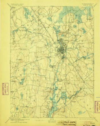
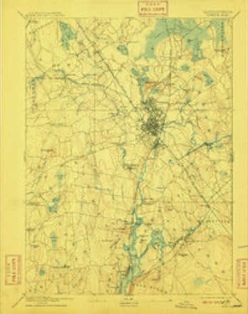
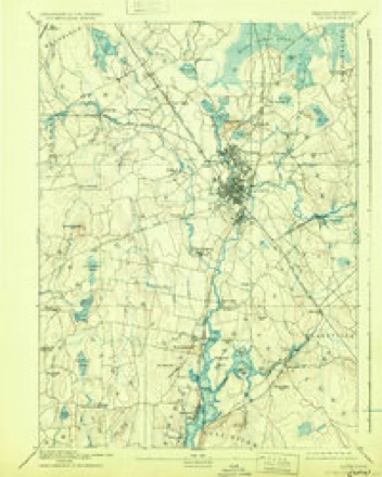
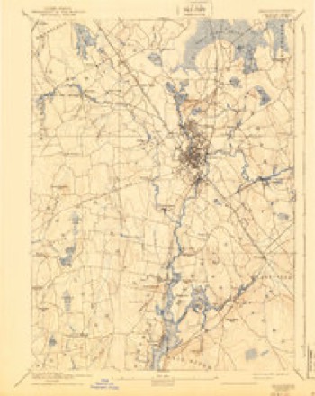
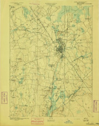
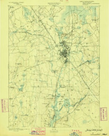
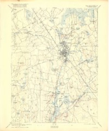
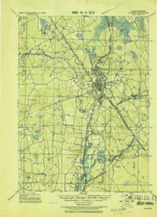
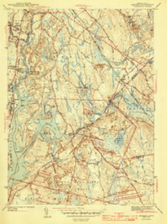
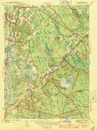
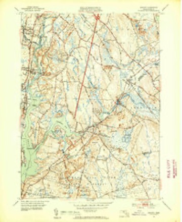
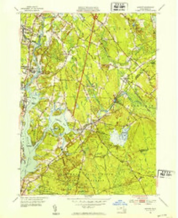
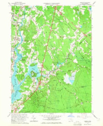
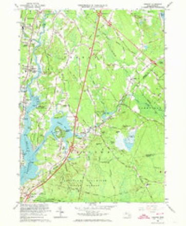
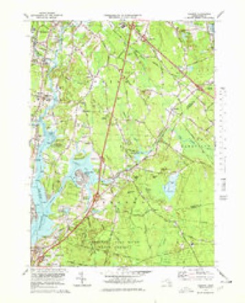
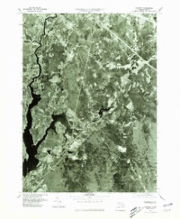
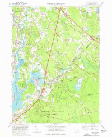
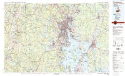
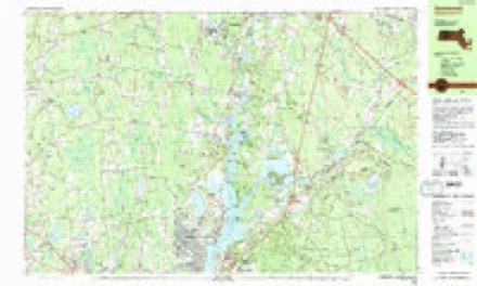
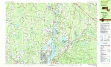
34 topographic sheets cover this place, the earliest surveyed in 1885 and the latest in 1985. It stands in Dighton town. It lies in ZIP code area 02715. It stands on Segreganset River. The Survey maps it on the Assonet quadrangle.
Then and now
1885 to 1985The same ground, surveyed 100 years apart. Drag the handle to wipe between them. Both sheets are United States Geological Survey originals; neither has been altered.
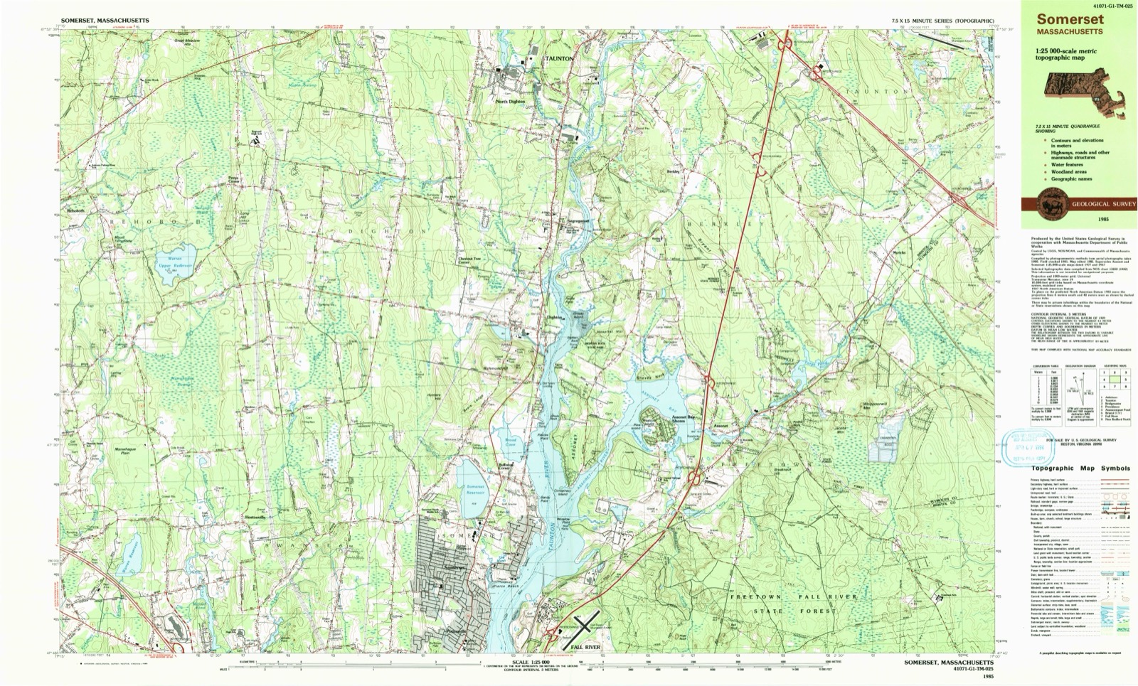
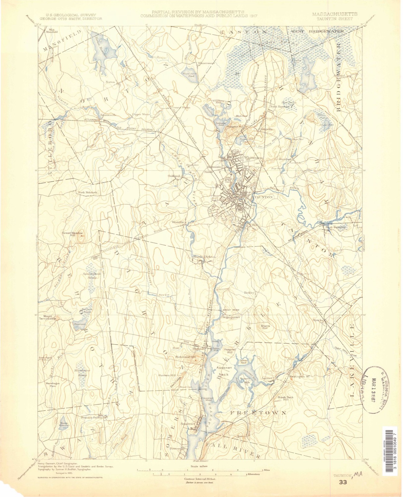
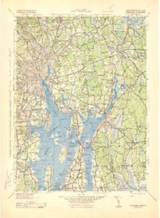
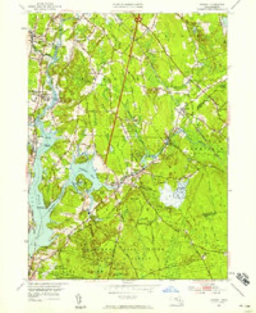
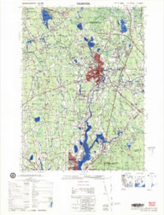
Topographic sheets covering this place
34 sheetsMatched by testing this settlement's coordinate against the published boundary of every sheet in the United States Geological Survey's historical collection. Each opens the scanned sheet at the Survey.
- 1885 USGS Taunton quadrangle1:62500
- 1888 USGS Taunton quadrangle1:62500
- 1893 USGS Taunton quadrangle1:62500
- 1893 USGS Taunton quadrangle1:62500
- 1893 USGS Taunton quadrangle1:62500
- 1893 USGS Taunton quadrangle1:62500
- 1893 USGS Taunton quadrangle1:62500
- 1893 USGS Taunton quadrangle1:62500
- 1893 USGS Taunton quadrangle1:62500
- 1918 USGS Taunton quadrangle1:62500
- 1943 USGS Assonet quadrangle1:31680
- 1943 USGS Assonet quadrangle1:31680
- 1943 USGS Providence quadrangle1:125000
- 1947 USGS Providence quadrangle1:250000
- 1947 USGS Providence quadrangle1:250000
- 1947 USGS Providence quadrangle1:250000
- 1947 USGS Providence quadrangle1:250000
- 1947 USGS Providence quadrangle1:250000
- 1948 USGS Providence quadrangle1:250000
- 1951 USGS Assonet quadrangle1:24000
- 1951 USGS Assonet quadrangle1:31680
- 1951 USGS Assonet quadrangle1:31680
- 1957 USGS Providence quadrangle1:250000
- 1958 USGS Providence quadrangle1:250000
- 1963 USGS Assonet quadrangle1:24000
- 1963 USGS Assonet quadrangle1:24000
- 1963 USGS Providence quadrangle1:250000
- 1977 USGS Assonet quadrangle1:25000
- 1977 USGS Assonet quadrangle1:25000
- 1977 USGS Assonet quadrangle1:24000
- 1979 USGS Taunton quadrangle1:50000
- 1984 USGS Providence quadrangle1:100000
- 1985 USGS Somerset quadrangle1:25000
- 1985 USGS Somerset quadrangle1:25000









In the county-history sources
35,840 words on this townshipHistory of Bristol County, Massachusetts, with Biographical Sketches of Many of Its Pioneers and Prominent Men, published 1883 names this settlement in its chapter on Dighton Town. These are the passages that mention it, exactly as the scans read.
Bristol County regiment which went with the expedition that captured the fortress of Louisburg, on Cape Breton Island, in 174"), was commanded by a Dighton man, Col. Sylvester Richmond, who was born in 1698, so that he was forty-seven years old when he went on the expedition mentioned.1 How he acquitted himself as colonel we do not know, but his military conduct might have surpassed that of his associate officers or of his commander and yet not have been worthy of special commendation. There was no lack of bravery, but there was very little judgment shown in the conduct of the siege, and not much discipline among the troops. Only the mutinous condition of the garrison in the fortress made its capture possible. The siege was conducted in a most unsoldier-like manner, the rear of the besieging army being a scene of disgraceful confusion, the men being chiefly engaged in the unmilitary occupation of skylarking, running races, pitching quoits, wrestling, shooting birds, or chasing the balls shot from the fort, a bounty being paid for each one brought into camp. A wellconducted sortie from the fortress would have destroyed the undisciplined besiegers. On the 17th of June, however, the Dunkirk of America, as Louisburg was sometimes called, surrendered to the New England troops. " If any one circumstance," says a historian of that time, " had taken a wrong turn on our side, and if any one circumstance had not taken a wrong turn on the French side, the expedition must have miscarried."
Passage source: History of Bristol County, Massachusetts, with Biographical Sketches of Many of Its Pioneers and Prominent Men, published 1883.
Before undertaking the expedition Col. Pepperell, the amiable merchant who was placed in command, had consulted the celebrated preacher Whitefield, who gave his approval, and, after manner of the crusades, furnished a motto for the flag : " Nil desperandum Christo duce." The grand battery was captured without bloodshed in a singular manner. The warehouses in the northeast part of the town having been set on fire in the night, a strong wind drove the dense smoke into the battery, and caused such a panic among the French that they hastily abandoned the battery and fled into the city. In the morning, as a young lieutenant named Vaughan was reconnoitering with thirteen men, he observed that there was no smoke issuing from the chimneys of the barracks, and that the flag- Btaff was without a flag. He thereupon bribed an Indian to climb in through an embrasure and open the gate. He thus found himself in possession of the works, and immediately sent the following report to the general in command : " May it please your Honor to be informed that, by the grace of God and the courage of thirteen men, I entered the Royal Battery about nine o'clock, and am waiting for a reinforcement and a flag." Before reinforcements could arrive the French had sent a hundred men in boats to retake the battery, but Vaughan and his baker's dozen of New Englanders gave them so warm a reception that they were prevented from landing. Europe was astonished at this victory, and in England it was sought to claim all the glory for the navy at the expense of the provincial army.
Passage source: History of Bristol County, Massachusetts, with Biographical Sketches of Many of Its Pioneers and Prominent Men, published 1883.
The origin of the name is said to have been as follows: Informer times there were three distinct families bearing the name of Briggs in the town, and to distinguish them they were called respectively the "Stout Briggses," the " Buckhorns," and the " Whippoorwills." What was the signification of the latter appellation is not, perhaps, known at the present day. Possibly some members of the family lived in the woods, and were nocturnal in their ways. The " Buckhorns" were so called from certain curious protuberances like budding deers' horns that appeared on the heads of many of that branch of the name, even down to a late period. The "Stout Briggses" were distinguished for great bodily strength, the word stout being here used in its original sense of strong, and not in the later sense of corpulent as Washington Irving used it in his sketch of the " Stout Gentleman." According to the story which has been handed down, one Samuel Briggs, of the Buckhorn branch, lived not far from the locality that is now called Buck Plain ; how long ago the tradition does not state, but it was some time, probably, in the first half of the last century. Samuel was crossing the plain one day when he came upon a large buck lying under a rock among the scrub-oaks fast asleep. Being an active young man he determined, as he had no gun to shoot the animal with, to attempt to capture it alive. He therefore crept cautiously up to the sleeping deer, and sprang upon its back, seizing one of its horns in each hand. The astonished and frightened buck leaped to its feet, and made off at a headlong pace in the direction of the river, which was more than a mile distant, Briggs clinging to his back as best he could. On they tore through bushes, briers, and scrub-oaks, and reaching the river at last, the panic-stricken animal plunged in with its rider, who managed to drown and capture it. According to the tale, when Briggs reached the river he was very nearly in purls naturalibus, all of his clothing having been torn off excepting his shirt collar and wristbands. Mazeppa's famous bareback ride was a tame affair compared to Samuel Briggs' ride on the buck. Although the Cossack hetman's condition as to clothing was much the same throughout his involuntary ride as Briggs' condition was at the end of his, yet, unlike the latter, his clothes were not torn from him piecemeal by cruel thorns, nor was he in danger of falling off, being securely tied to his horse's back. While Mazeppa's ride has been the theme of poets like Lord Byron, of novelists like Bulgarin, and of
Passage source: History of Bristol County, Massachusetts, with Biographical Sketches of Many of Its Pioneers and Prominent Men, published 1883.
Machine-read from a century-old scan, so expect the errors a machine makes: misspelled names, dropped words, stray characters.
Read the whole chapter on Dighton Town - it names this place 1 more 1 time.
Fires near this place
42 since 2015Regional context, not property-specific evidence. The federal wildfire occurrence database lists 42 fires within 5 miles of Segreganset between 2015 and 2020, burning about 38 acres in total. None started naturally. 2 were recorded as arson. Distance is straight-line from the map coordinates, so a fire counted here may appear on a neighbouring settlement's page as well.
| Reported cause | Fires |
|---|---|
| Missing data/not specified/undetermined | 21 |
| Debris and open burning | 14 |
| Recreation and ceremony | 3 |
| Arson/incendiarism | 2 |
| Power generation/transmission/distribution | 1 |
| Smoking | 1 |
The most recent of them, most recent first, with the day each was reported and the service that recorded it.
| Date | Cause | Size | Reported by | Name on the report |
|---|---|---|---|---|
| 8 September 2020 | Recreation and ceremony | under an acre | Massachusetts Bureau of Forest Fire Control | not named |
| 6 August 2020 | Missing data/not specified/undetermined | 1.5 acres | Massachusetts Bureau of Forest Fire Control | not named |
| 3 August 2020 | Debris and open burning | under an acre | Massachusetts Bureau of Forest Fire Control | not named |
| 10 August 2020 | Missing data/not specified/undetermined | under an acre | Massachusetts Bureau of Forest Fire Control | not named |
| 21 July 2020 | Missing data/not specified/undetermined | under an acre | Massachusetts Bureau of Forest Fire Control | not named |
| 21 July 2020 | Missing data/not specified/undetermined | under an acre | Massachusetts Bureau of Forest Fire Control | not named |
| 20 July 2016 | Missing data/not specified/undetermined | under an acre | Massachusetts Bureau of Forest Fire Control | not named |
| 17 July 2020 | Recreation and ceremony | under an acre | Massachusetts Bureau of Forest Fire Control | not named |
Settlements close enough to share some of these fires:
Specimens collected near this place
12 of 1,248 shownRegional context, not property-specific evidence. Museums hold 1,248 specimens collected within 10 miles of Segreganset between 1850 and 1975: 873 Animalia, 268 Plantae, 96 Fungi, 9 Chromista, 2 Unrecorded. 12 distinct Species records are shown. Collected by ?, A E Schuyler, A. A. Eaton and others. Each is a physical object with a catalogue number, and each entry opens the museum's record. This is what was collected and kept, not a survey of what lives here - nothing can be concluded from a species being absent.
| Image | Species | Year | Collected by | Where, as recorded |
|---|---|---|---|---|
 | Ranunculus bulbosus L. | 1850 | not recorded | |
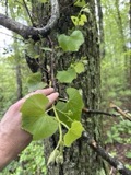 | Vitis labrusca L. | 1850 | not recorded | |
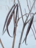 | Apocynum cannabinum L. | 1855 | F. C. Seymour | Rehoboth |
 | Astur Lacepède, 1799 | 1860 | C. D. Lincoln | Taunton |
 | Carex panicea L. | 1863 | J. H. Dean | |
 | Carex L. | 1864 | J. H. Dean | Taunton. |
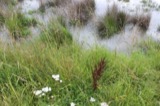 | Carex vulpinoidea Michx. | 1864 | J. H. Dean | |
 | Chondrus crispus Stackhouse | 1874 | F. Wolle | Fall River |
 | Ectocarpus littoralis (L.) Lyngb. | 1874 | F. Wolle | Fall River |
 | Ulva latissima L. | 1874 | F. Wolle | Fall River |
 | Chelidonium majus L. | 1875 | not recorded | |
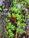 | Lygodium palmatum (Bernh.) Sw. | 1875 | not recorded |
All 1,248 specimens within 10 miles, at the Global Biodiversity Information Facility.
Mines and quarries near this place
9 within 5 milesRegional context, not property-specific evidence. The federal mineral resources record lists 9 workings within 5 miles of Segreganset: 4 past producers, 4 producers, 1 unknown. 4 still produce. What was taken out: Sand and Gravel, Construction. Distance is straight-line from the map coordinates, so a quarry counted here may appear on a neighbouring settlement's page as well.
| Where | Site | Commodity | Status | Recorded |
|---|---|---|---|---|
| Assonet Sand and Gravel Co | Sand and Gravel, Construction | Past Producer | Sedimentary | |
| East Freetown Pit & Assonet Plant | Sand and Gravel, Construction | Producer | ||
| Freetown Development Co. Pit | Sand and Gravel, Construction | Producer | ||
| King Trucking Pit | Sand and Gravel, Construction | Producer | ||
| Lanzisera Pit | Sand and Gravel, Construction | Past Producer | ||
| Mc Cabe Sand and Gravel Co | Sand and Gravel, Construction | Past Producer | Sedimentary | |
| Mccabe Sand & Gravel Pit | Sand and Gravel, Construction | Unknown | ||
| Mccabe Sand and Gravel Company Pit | Sand and Gravel, Construction | Producer | ||
| Randy Pit | Sand and Gravel, Construction | Past Producer |
Storms near this place
2 since 2012Regional context, not property-specific evidence. The National Weather Service names Segreganset in 2 storm reports between 2012 and 2024: 1 hail, 1 thunderstorm wind. No death or injury is recorded in these reports. Each account below is quoted exactly as the forecast office filed it, from the NOAA Storm Events Database, and each date opens the federal record of that event.
| When | Event | Place named | Harm | What the report says |
|---|---|---|---|---|
| August 2024 | Thunderstorm Wind | Segreganset | $1,000 | In Taunton, there were wired down on a car on Berkley St. |
| July 2012 | Hail | Segreganset | - | no account filed |
Nearest settlements
The eight closest, with where each one stands in the county. Distances are straight-line, computed from the Geographic Names Information System coordinates.
| Map | Place | Distance | Sheets |
|---|---|---|---|
| Berkley Bridge | 0.4 miles | 34 | |
| Dighton | 1.6 miles | 34 | |
| Chestnut Tree Corner | 1.7 miles | 33 | |
| Berkley | 1.7 miles | 34 | |
| Camp Welch | 2.0 miles | 34 | |
| North Dighton | 2.0 miles | 34 | |
| Old Town Landing | 2.3 miles | 34 | |
| Camp Merriwood | 3.1 miles | 34 |
Elsewhere
Matched on this settlement's Geographic Names Information System number rather than its name, so it cannot be a different place of the same name in another state.
| Wikidata item Q122596373 | The structured record the population and elevation above come from. Public domain (CC0). |
Provenance
This settlement is recorded in the Geographic Names Information System as feature 598558. The sheet list is computed by point-in-boundary test against the United States Geological Survey's historical topographic inventory. Both are works of the United States government and carry no copyright under 17 U.S.C. 105.
Wildfire. Short, Karen C. 2022. Spatial wildfire occurrence data for the United States, 1992-2020 [FPA_FOD_20221014]. 6th Edition. Fort Collins, CO: Forest Service Research Data Archive. https://doi.org/10.2737/RDS-2013-0009.6 Collected with United States Government funding and usable without additional permissions or fees.
Specimens. Global Biodiversity Information Facility (GBIF), https://www.gbif.org/. Only records licensed CC0 or CC BY are used. Records licensed CC BY-NC are excluded because this site carries advertising. Images are checked individually and any whose licence is non-commercial, no-derivatives or unreadable is refused.
Mines and quarries. USGS Mineral Resources Data System (MRDS) https://mrdata.usgs.gov/mrds/ A work of the United States government, no copyright under 17 U.S.C. 105.
Storms. NOAA National Centers for Environmental Information, Storm Events Database https://www.ncei.noaa.gov/stormevents/ A work of the United States government, no copyright under 17 U.S.C. 105. Narratives are quoted verbatim from the National Weather Service report and are not edited or summarised.