 Block
Block
North Hampton, Ohio
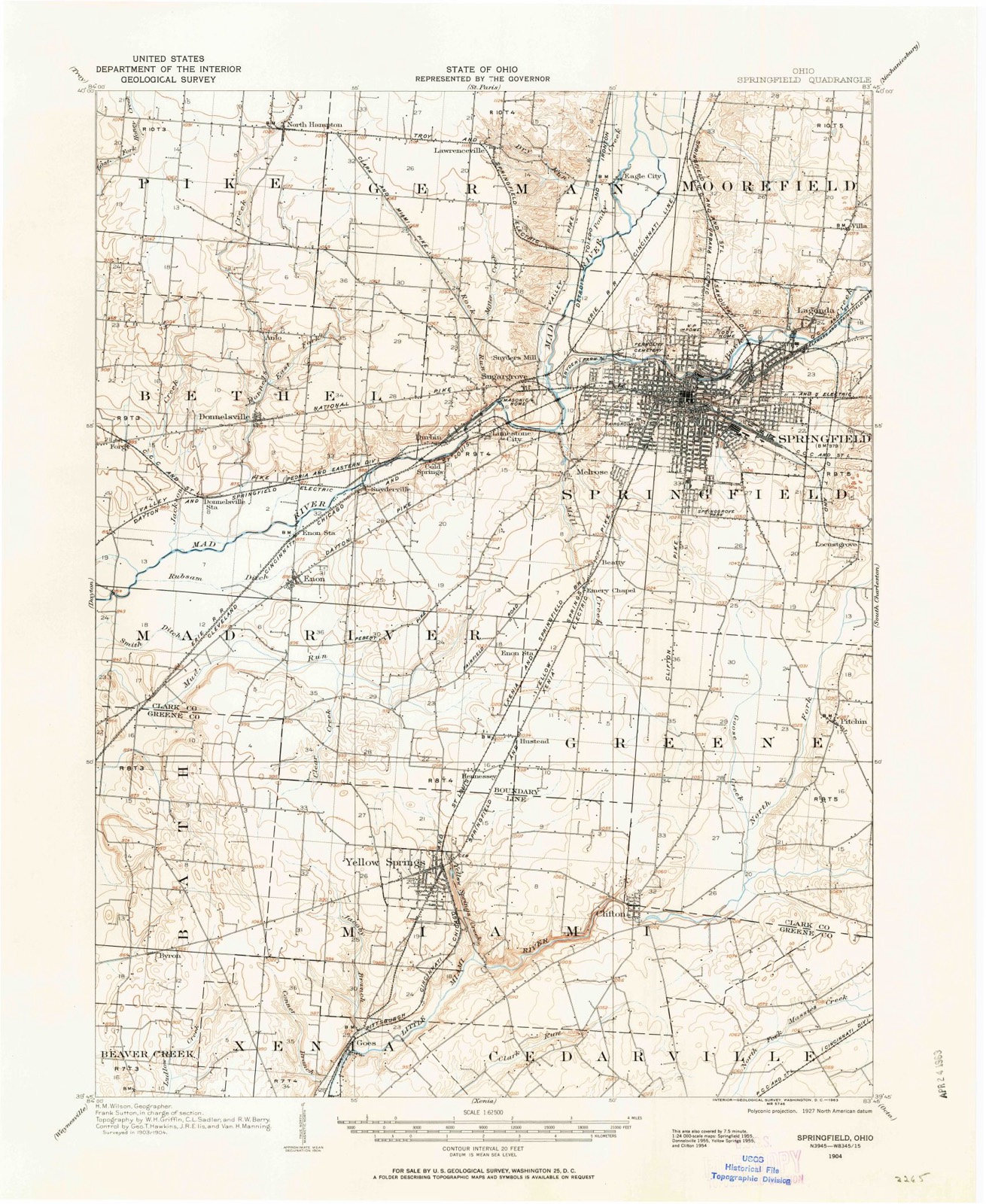
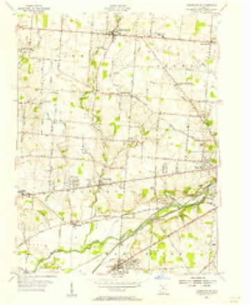
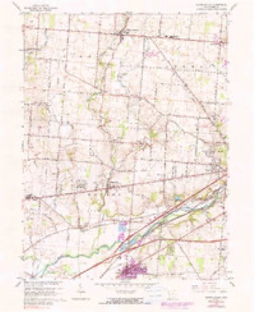
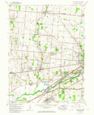
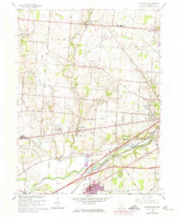
14 topographic sheets cover this place, the earliest surveyed in 1904 and the latest in 1986. It stands in Pike Township. It lies in ZIP code area 45349. The Survey maps it on the Donnelsville quadrangle. 457 people lived here at the 2020 count. It stands 1,093 feet above sea level.
Population over time
2 figuresNorth Hampton fell from 478 to 457 between 2010 and 2020. These are the recorded population figures Wikidata holds for this place, reached through the Geographic Names Information System number this page is keyed on rather than by name, so they belong to this place and not to another of the same name. Most are census counts, but not all are: an early figure may be a founding or settlement estimate. The change column is computed, and is left blank where more than 20 years separate a figure from the one before it, because a gap that long is not a change between two counts.
| Year | People | Change |
|---|---|---|
| 2010 | 478 | |
| 2020 | 457 | -21 (-4%) |
Then and now
1904 to 1986The same ground, surveyed 82 years apart. Drag the handle to wipe between them. Both sheets are United States Geological Survey originals; neither has been altered.

Topographic sheets covering this place
14 sheetsMatched by testing this settlement's coordinate against the published boundary of every sheet in the United States Geological Survey's historical collection. Each opens the scanned sheet at the Survey.
- 1904 USGS Springfield quadrangle1:62500
- 1904 USGS Springfield quadrangle1:62500
- 1906 USGS Springfield quadrangle1:62500
- 1947 USGS Columbus quadrangle1:250000
- 1955 USGS Donnelsville quadrangle1:24000
- 1961 USGS Columbus quadrangle1:250000
- 1962 USGS Columbus quadrangle1:250000
- 1965 USGS Donnelsville quadrangle1:24000
- 1965 USGS Donnelsville quadrangle1:24000
- 1965 USGS Donnelsville quadrangle1:24000
- 1967 USGS Columbus quadrangle1:250000
- 1967 USGS Columbus quadrangle1:250000
- 1986 USGS Springfield quadrangle1:100000
- 1986 USGS Springfield quadrangle1:100000







In the county-history sources
19,254 words on this townshipThe History of Clark County Ohio,, published 1881 names this settlement in its chapter on Pike Township. These are the passages that mention it, exactly as the scans read.
The first denominations to hold religious services in the township were probably the Presbyterians and Methodists. In the early settlement of the township, the Methodists held services at the house of Adam Verdier, also at Mitchell's, and later at the present site of the Beech Grove Church. A church of the Christian denomination was early established at North Hampton. Also an organization of Seventh-Day Baptists in the same vicinity. Both of the latter congregations, however, are now scattered, and the houses of worship removed or oa: Rev. Steele, a Presbyterian minister, also held services in the vicinity.
Passage source: The History of Clark County Ohio,, published 1881.
One of the pioneer Methodist organizations of the township was the Beech Grove Methodist Episcopal Church. It was organized in the year 1833, at the house of George Otewalt, by the Rev. Jesse Goddard, of Champaign County, a pioneer minister of the above church. The first house of worship was built on the site now occupied by the present neat chapel in 1840. The ground was donated by Samuel Brandenburg, by deed bearing the date June 20, 1840.
Passage source: The History of Clark County Ohio,, published 1881.
The Christian Church was organized in 1539, at the house of Elijah Priest, under the charge of Rev. J. Kirby. The original members were John Priest and wife Catharine. Andrew Clark and wife Nancy. and Mary Clark, John Richardson and wife Elizabeth. L. Davis and wife Sarah. At first they worshiped at the houses of the members. In 1540, a hewed-log house was built on the corner of L. Davis' land, and, in 1852, the present one-story frame building, situated on Section 34, was erected at a cost of about $1,000.
Passage source: The History of Clark County Ohio,, published 1881.
Machine-read from a century-old scan, so expect the errors a machine makes: misspelled names, dropped words, stray characters.
Read the whole chapter on Pike Township - it names this place 22 more 22 times.
Specimens collected near this place
12 of 537 shownRegional context, not property-specific evidence. Museums hold 537 specimens collected within 10 miles of North Hampton between 1840 and 1975: 272 Animalia, 217 Plantae, 44 Fungi, 3 Protozoa, 1 Chromista. 12 distinct Species records are shown. Collected by 73.7; J.H., A. Barron, A. N. Leeds and others. Each is a physical object with a catalogue number, and each entry opens the museum's record. This is what was collected and kept, not a survey of what lives here - nothing can be concluded from a species being absent.
| Image | Species | Year | Collected by | Where, as recorded |
|---|---|---|---|---|
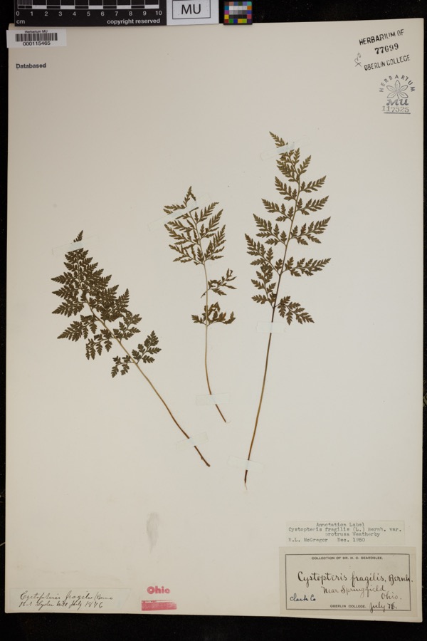 | Cystopteris protrusa (Weath.) Blasdell | 1878 | Beardslee, H.C. | near Springfield |
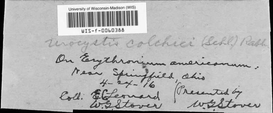 | Urocystis colchici (Schltdl.) Rabenh. | 1916 | W.G. Stover; E.C. Leonard | near Springfield |
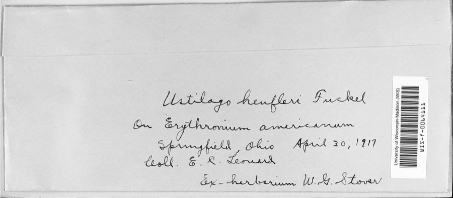 | Ustilago heufleri Fuckel | 1917 | E.R. Leonard | |
 | Caulophyllum thalictroides (L.) Michx. | 1840 | Williams, M.G. | Springfield |
 | Staphylea trifolia L. | 1840 | Williams, M.G. | Springfield |
 | Funaria hygrometrica Hedw. | 1846 | not recorded | Springfield |
 | Bryhnia graminicolor (Brid.) Grout | 1870 | J. W. Eckfeldt | near Springfield |
 | Bryum pseudotriquetrum var. bimum (Schreb.) Lilj. | 1870 | J. W. Eckfeldt | Springfield |
 | Hygroamblystegium tenax subsp. orthocladon (P.Beauv.) Wijk & Margad. | 1870 | J. W. Eckfeldt | Springfield |
 | Schwetschkeopsis denticulata (Sull.) Broth. | 1870 | J. W. Eckfeldt | Springfield |
 | Amblystegium serpens var. angustifolium H.Lindb. ex Limpr. | 1871 | H. J. Biddlecome | Springfield |
 | Asterella tenella (L.) P.Beauv. | 1871 | Hannah J. Biddlecome | Springfield |
All 537 specimens within 10 miles, at the Global Biodiversity Information Facility.
Storms near this place
11 since 1997Regional context, not property-specific evidence. The National Weather Service names North Hampton in 11 storm reports between 1997 and 2026: 7 thunderstorm wind, 2 tornado, 1 flood, 1 hail. No death or injury is recorded in these reports. Each account below is quoted exactly as the forecast office filed it, from the NOAA Storm Events Database, and each date opens the federal record of that event.
| When | Event | Place named | Harm | What the report says |
|---|---|---|---|---|
| June 2022 | Tornado (EF1) | North Hampton | $500,000 | Initial EF-0 damage consisting of snapped tree limbs and minor outbuilding damage began along Liberty Road in western Clark County. Intermittent tree and outbuilding damage then continued east, eventually crossing Shrine Road near its intersection with Ebersole Road. A barn was also damaged at this location.||Continuing east, the tornado strengthened to EF-1 intensity and widened to nearly 200 yards as it moved through neighborhoods along Ballentine Pike, Delrey Road and Fox Hollow Road. Hundreds of trees were snapped or uprooted along this section of the path and several homes suffered damage due to partial uplift. The tornado remained EF-1 intensity as it crossed St. Paris Pike, eventually crossing directly through the Springfield Country Club where dozens of trees were uprooted.||The tornado continued east through the Edgewood Farms neighborhood and produced tree and minor outbuilding damage. Damage continued into the southern end of Buck Creek State Park. The main entrance to the park was closed due to several large trees uprooted along the main drive. The tornado crossed the southern end of the reservoir and then produced tree damage along Grant Road.||Continuing east, the tornado caused minor damage to a residence and barn on Mahar Road near its intersection with Yeazall Road. Additional tree damage could be seen across a field east of Mahar Road but no additional damage was noted east of there. |
| July 2025 | Tornado (EF0) | North Hampton | $10,000 | The first evidence of this tornado occurred on Johnson Road east of Folk Ream Road, where several large trees had branches snapped off and multiple smaller trees were snapped along their trunks. The tornado continued northeast, where it caused significant damage to corn fields along and east of Shrine Road. The tornado is believed to have dissipated east of Shrine Road. |
| May 1997 | Thunderstorm Wind | North Hampton | $5,000 | Numerous trees downed. |
| September 2024 | Thunderstorm Wind | North Hampton | $3,000 | A few trees were downed near the intersection of State Routes 235 and 41. |
| July 2016 | Thunderstorm Wind | North Hampton | $3,000 | A large tree was downed onto North Hampton Road, blocking both lanes. Power lines were also downed in the area. |
| June 2004 | Thunderstorm Wind | North Hampton | $3,000 | Numerous trees were knocked down. |
| June 2013 | Thunderstorm Wind | North Hampton | $1,000 | A large tree was downed in North Hampton due to thunderstorm winds. |
| June 2000 | Thunderstorm Wind | North Hampton | $1,000 | Two trees were downed on Lehman and Stott Roads. |
| March 2022 | Flood | North Hampton | - | High water was reported on several roads across the county. |
| March 2026 | Hail | North Hampton | - | no account filed |
| April 2010 | Thunderstorm Wind | North Hampton | - | no account filed |
Nearest settlements
The eight closest, with where each one stands in the county. Distances are straight-line, computed from the Geographic Names Information System coordinates.
| Map | Place | Distance | Sheets |
|---|---|---|---|
| Windy Acres | 0.8 miles | 14 | |
| Hampton Woods | 0.8 miles | 14 | |
| Dialton | 2.6 miles | 12 | |
| Windy Corner | 2.6 miles | 12 | |
| Dodo | 2.8 miles | 14 | |
| Lawrenceville | 3.3 miles | 14 | |
| Balentine Acres | 3.5 miles | 14 | |
| Anlo | 3.5 miles | 14 |
Elsewhere
Matched on this settlement's Geographic Names Information System number rather than its name, so it cannot be a different place of the same name in another state.
| Wikipedia article on North Hampton | An encyclopaedic summary. Its text is share-alike, so it is linked here rather than copied. |
| Wikidata item Q2348804 | The structured record the population and elevation above come from. Public domain (CC0). |
Provenance
This settlement is recorded in the Geographic Names Information System as feature 1065471. The sheet list is computed by point-in-boundary test against the United States Geological Survey's historical topographic inventory. Both are works of the United States government and carry no copyright under 17 U.S.C. 105.
Specimens. Global Biodiversity Information Facility (GBIF), https://www.gbif.org/. Only records licensed CC0 or CC BY are used. Records licensed CC BY-NC are excluded because this site carries advertising. Images are checked individually and any whose licence is non-commercial, no-derivatives or unreadable is refused.
Storms. NOAA National Centers for Environmental Information, Storm Events Database https://www.ncei.noaa.gov/stormevents/ A work of the United States government, no copyright under 17 U.S.C. 105. Narratives are quoted verbatim from the National Weather Service report and are not edited or summarised.