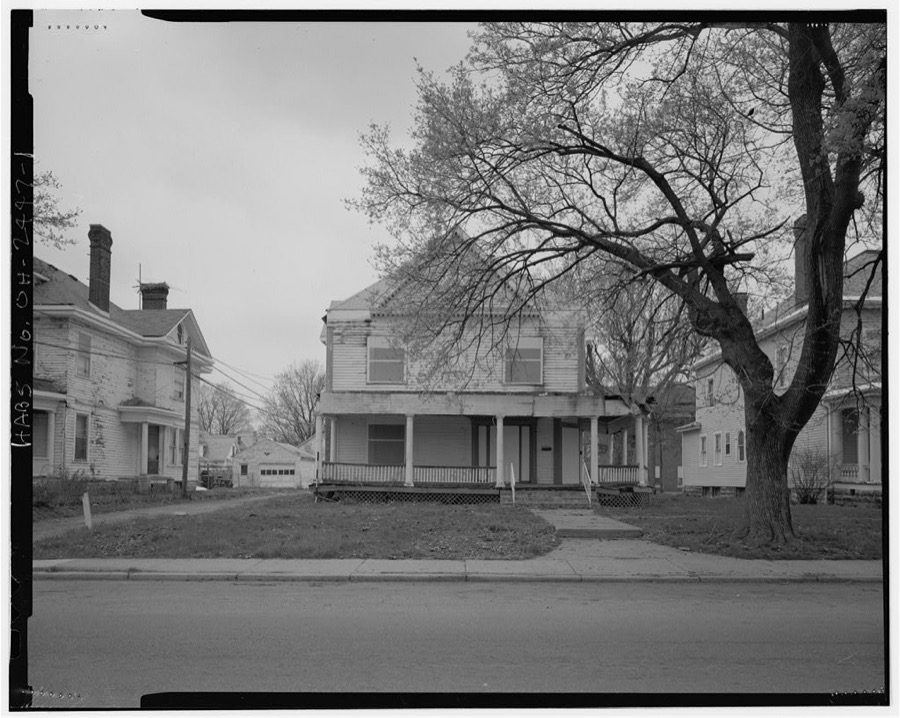
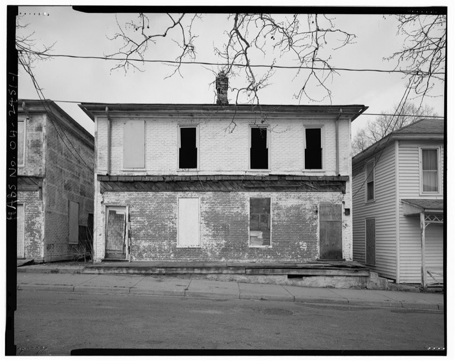
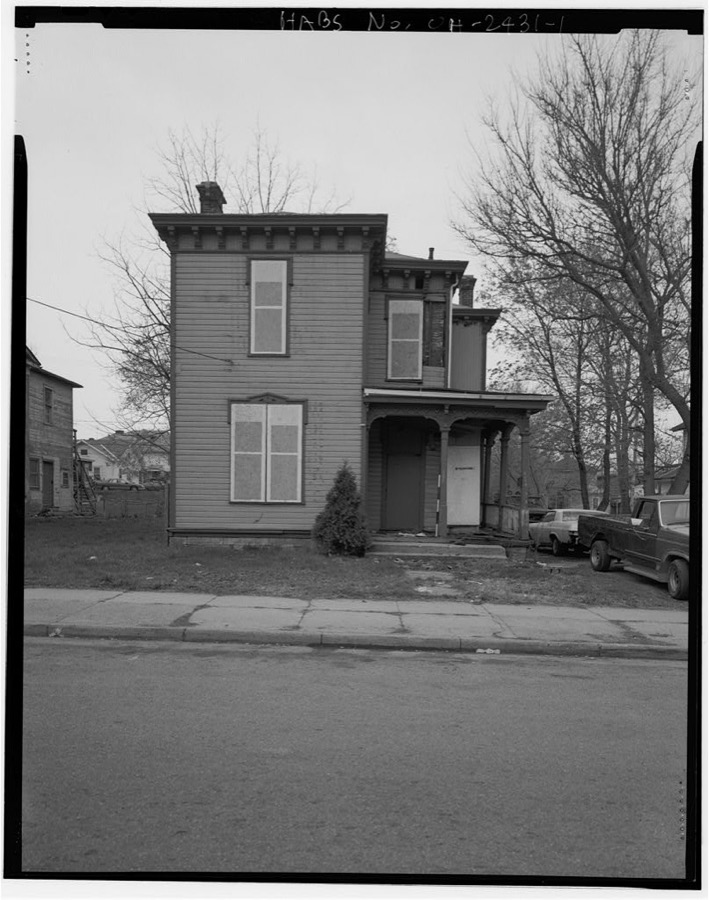
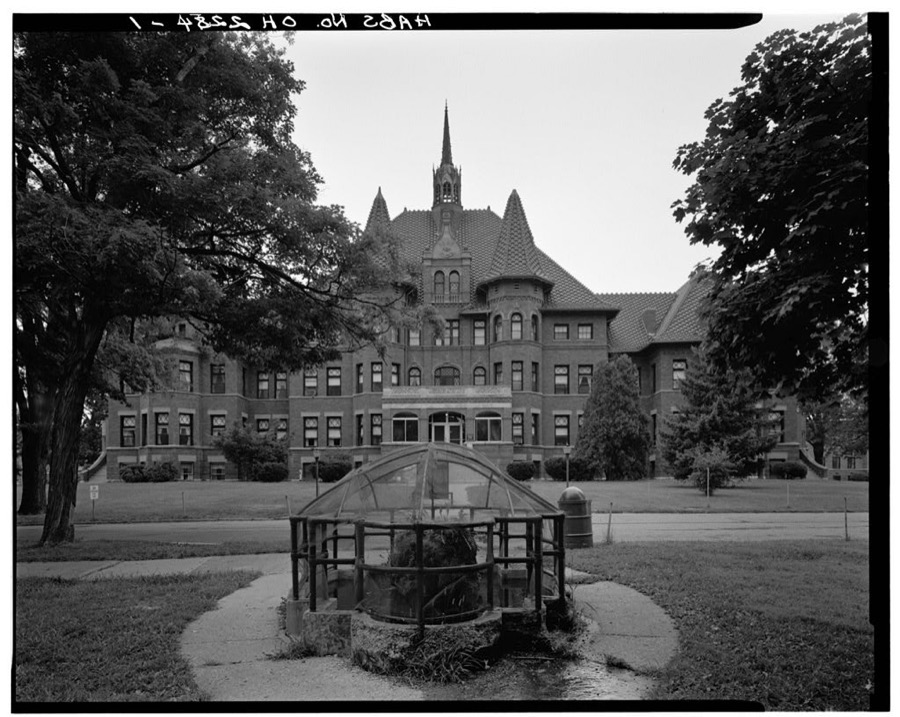
BlockBefore
Decorative drawing: a county panorama. Not a photograph of this place.

Clark County, Ohio

78 topographic sheets and 21 fire insurance atlases across 3 places.

Research this county

This curated hub for Clark County, Ohio brings together the page's documented record links, visible map or image evidence where published, and routes to related local records.

What is documented here?

Use the page's provenance and linked records to distinguish the source material from the site's navigation and summaries.

How should I cite it?

Open the original record, preserve its repository and identifier, then use the citation tool for this page as a path back to the source.

Where should I go next?

Follow the county or state hub for related places and records, then use the guide for a source-aware research sequence.

From the record

“The war spirit strongly animated the loyal people of the country, and when Gov. Meigs issued his call for volunteers to hasten to the relief of Gen. Harrison. who, in the month of December, 1813, with his army, was besieged at Fort Meigs by the British army and a band of Indians under Tecumseh, the response was met by the enlistment of many volunteers.”

Volunteers For Harrison - The History of Clark County, Ohio, Containing a History of the County; Its Cities, Towns, Etc.; General and Local Statistics; Portraits of Early Settlers and Prominent Men; History of the Northwest Territory; History of Ohio; Map of Clark County; Constitution of the United States, Miscellaneous Matters, Etc. .. (1881). Machine-read text.

32 National Register listings · 12 businesses named in the fire insurance atlases from 1891 to 1910 · the 1881 county history tells 6 stories and names 52 people · people the book names include William Berry (Pleasant Township, 1875) · John Ambler (Springfield Township, 1881) (machine-read).

Sources: the county history on the Internet Archive · the National Register database, National Park Service

Ohio within the United States
Clark County within Ohio
Explore by year 1835 1910

What the record shows

  • 3 places in this county were surveyed for fire insurance: Springfield, South Charleston, North Hampton, between 1886 and 1955.
  • 21 fire insurance atlas(es) survive for the county. Topographic coverage is national; fire insurance survey reached only incorporated places with something worth insuring.
  • 1,688 topographic sheet readings cover the county's settlements.
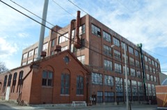
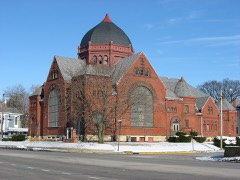
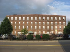
  • 32 properties here are on the National Register of Historic Places, including 10 houses and farms.
  • 13 of the 32 listings were added during the 1970s.
  • The Geographic Names Information System records 118 populated places in this county; 0 are covered by at least one topographic sheet.
  • 7 public-domain county histories, 1875 to 1922, supply 1,427,659 words of narrative reproduced here in full.

What happened here

6 accounts

A captivity, a drowning, a famine, a man scalped clearing his lot in 1789. These are passages from The History of Clark County, Ohio, Containing a History of the County; Its Cities, Towns, Etc.; General and Local Statistics; Portraits of Early Settlers and Prominent Men; History of the Northwest Territory; History of Ohio; Map of Clark County; Constitution of the United States, Miscellaneous Matters, Etc. .., written while people who remembered the events were still alive, and each one opens the section it comes from.

1881, Madison Township

The Soldiers Of 1 86 1-05

Madison Township soldiers have a record of which her people may well lie proud. From that memorable day in April, 1861, when hostile traitor hands struck tlio old flag, and hostile batteries converged their murderous fires on Sumter, until the day of proud and lasting victory at Appomattox, the sons of Madison Township, with their lives and all they held dear, were at the service of the country and on the side of the Union.

Read the rest of this passage

1881, Springfield Township

The Council Of 1807

One Myers was killed near Urbanw by a party of wandering Indians, and u fumily named Elliott, living on Mad Niver, was visited by an Indian of 'teeumsch's tribe, who demanded a buteher-knife of them, was refused, and told to leave. Mrs. Elliott was soon after out getting firewood in the door-yard, when o rifleshot was heard and o ball whistled through the front of her sun-bonnot and grazed the skiu upon her throat.

Read the rest of this passage

1881, Pleasant Township

Wmorgh Stench

WMORGH STENCH, The subject of this biography was born ih Chek County, Ohio, May 22, 1888. His opportanities for leerning were quite imited, being those of the common school, supplomented by woshort nttendance upon the Springtield High School, aud Gundry aid acon's Commercial College, in Cinehiawti. In the super of 1845, wlien seventeen yenrs old, lo liad a narrow esenpe from being killed, being caught Tn the couring of a threshing mactino, nnd having Hoth of his limbs and dete arm broken.

Read the rest of this passage

1881, Springfield Township

Little Daddy Vicory

Merrytield Vieory, an odd but genial character, located in Springfield in the year 1814. and soon afterward received and held the sobriquet of " Little Daddy Vicory." He was a short. round man, with a jolly face. He had been a drummer in the Revolutionary war. and had his drum shot from his side by a cannon ball at the siege of Yorktown.

Read the rest of this passage

1881, Springfield Township

Volunteers For Harrison

The war spirit strongly animated the loyal people of the country, and when Gov. Meigs issued his call for volunteers to hasten to the relief of Gen. Harrison. who, in the month of December, 1813, with his army, was besieged at Fort Meigs by the British army and a band of Indians under Tecumseh, the response was met by the enlistment of many volunteers.

Read the rest of this passage

1881, Madison Township

The Soldiers Of 1861-69

Madison Township soldiers have a record of which her people may well be proud. From that memorable day in April. 1861, when hostile traitor hands struck the old flag, and hostile batteries converged their murderous fires on Sumter, until the day of proud and lasting victory at Appomattox, the sons of Madison Township, with their lives and all they held dear, were at the service of the country and on the side of the Union.

Read the rest of this passage

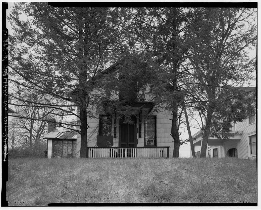
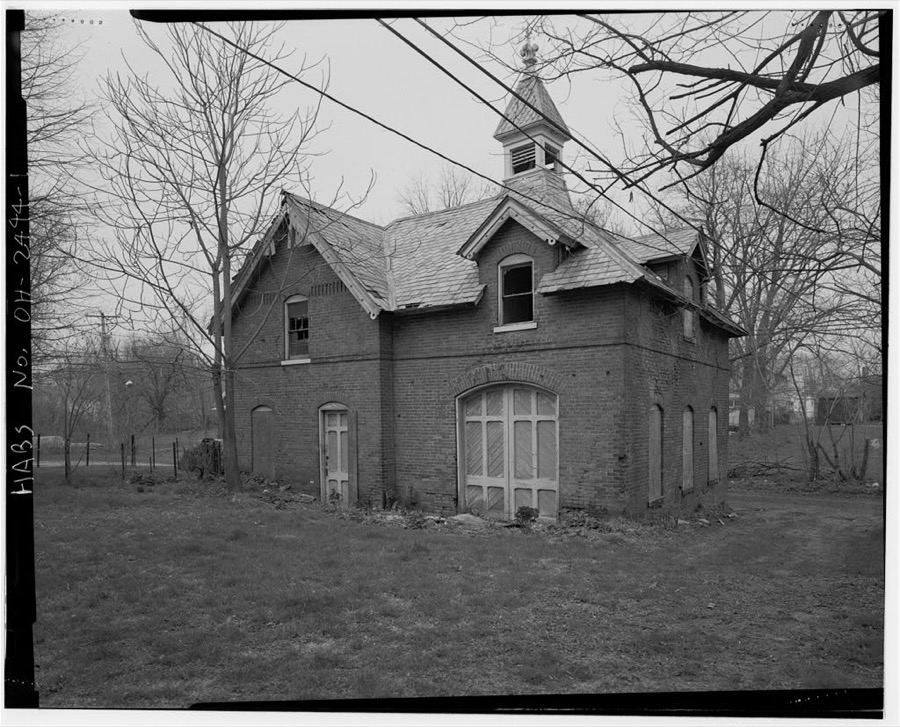
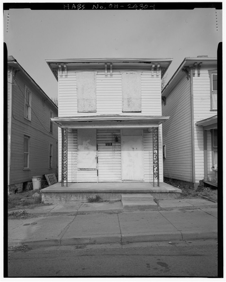
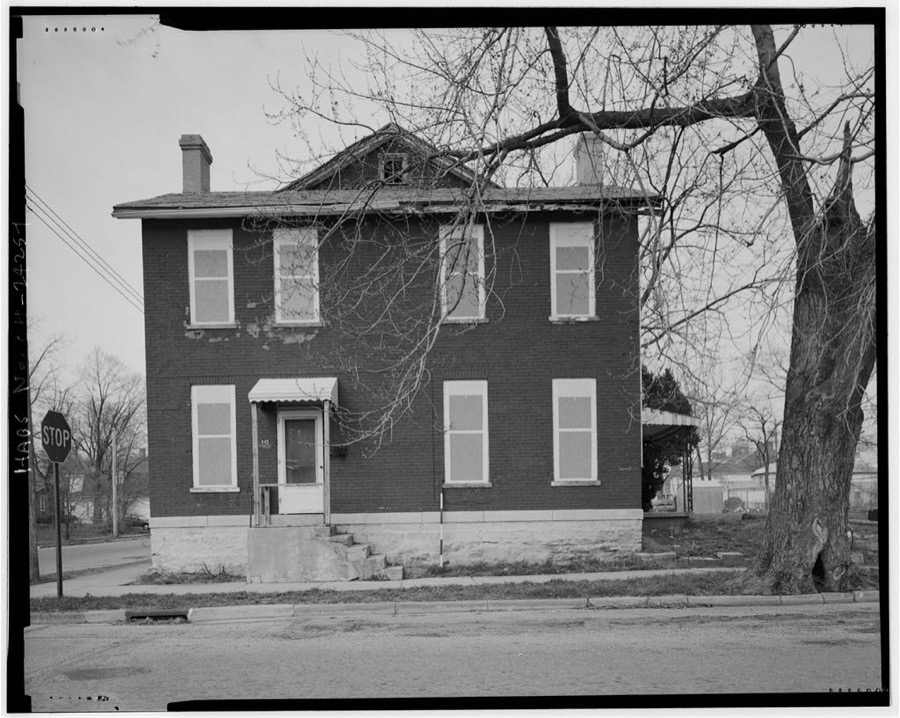
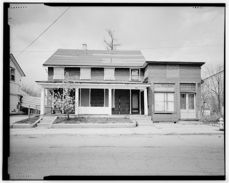
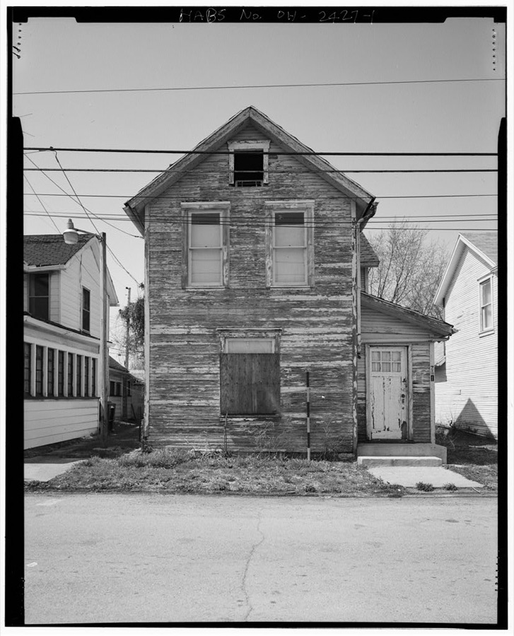
Photographs

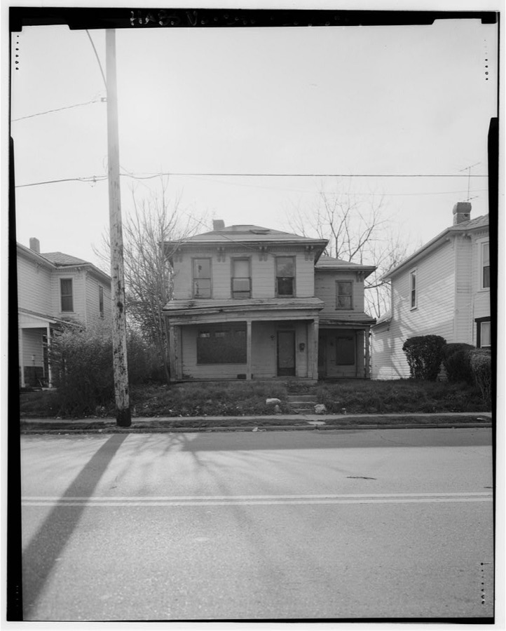
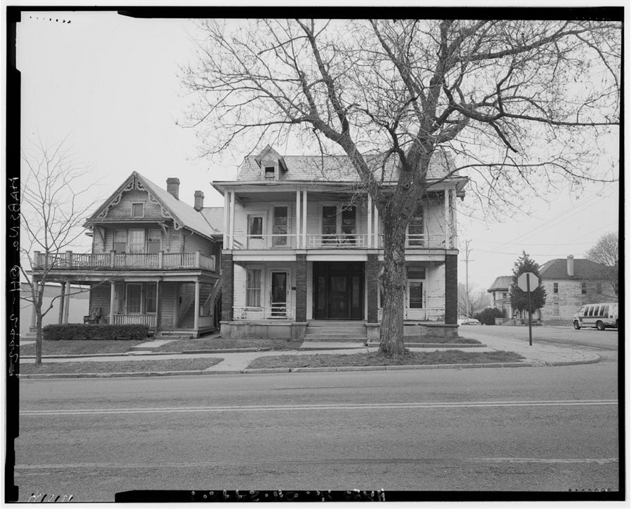
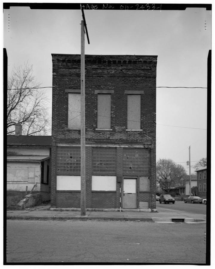
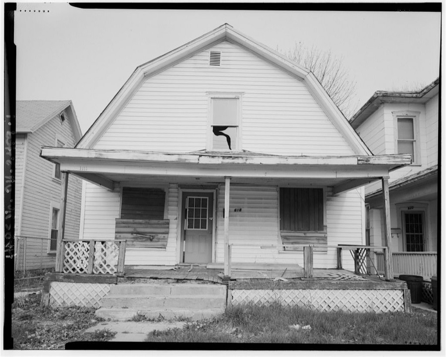
40 photographs,

Taken for the Office of War Information and the Farm Security Administration, who photographed the country between 1935 and 1944. Works of United States government photographers, with no known restriction on use. Each opens its catalogue record.

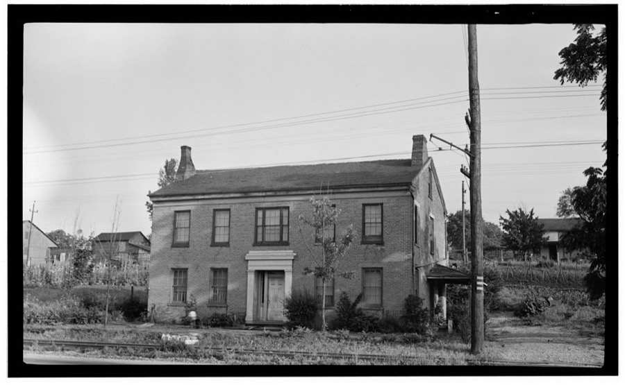
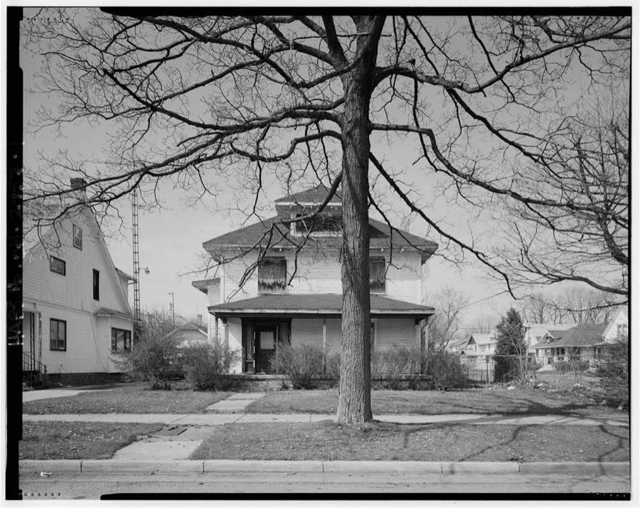
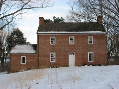
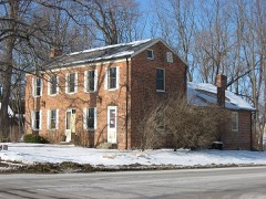
Reuben Warren House, Route 40, Harmony, Clark County, OH
Unattributed, . Library of Congress
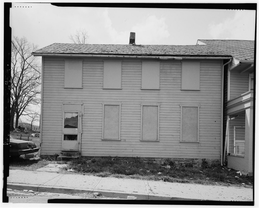
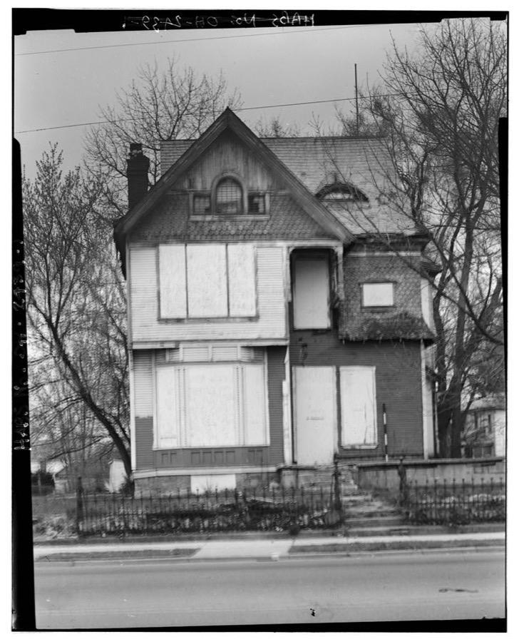
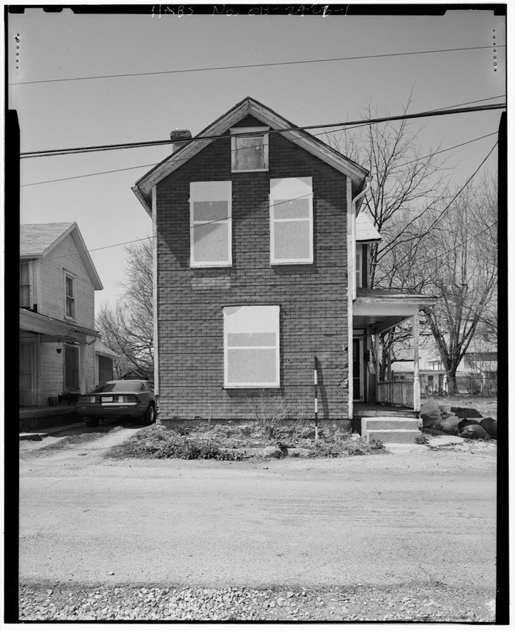
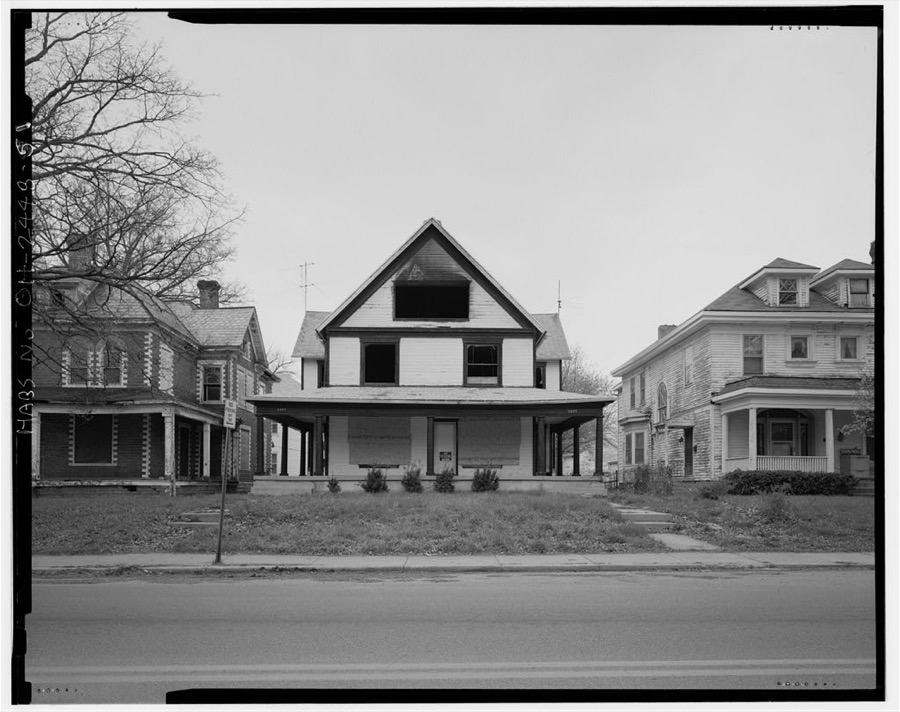
531-533 Gallagher Street (house), Springfield, Clark County, OH
Unattributed, . Library of Congress
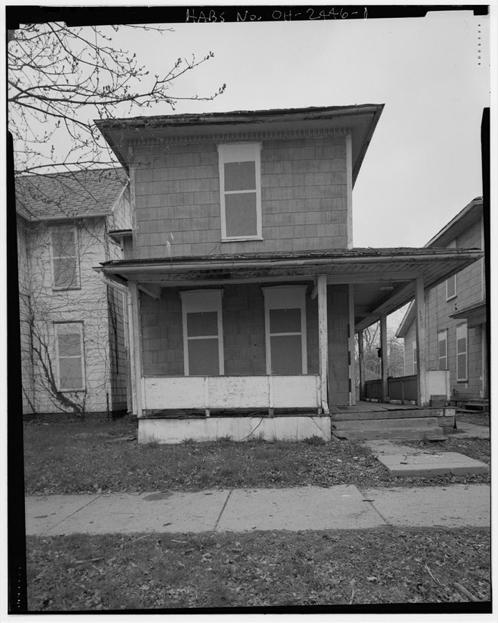
James V. & Sadie M. Wright House, 1119 South Fountain Avenue, Springfield, Clark County, OH
Unattributed, . Library of Congress
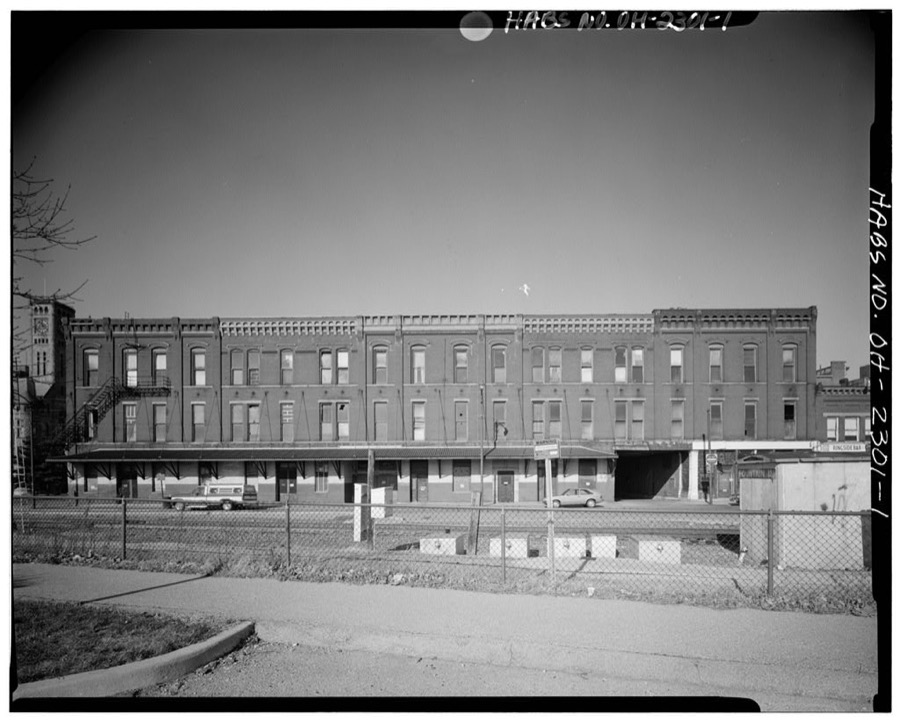
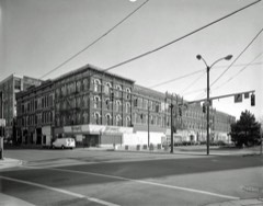
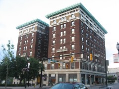
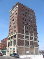
Arcade Hotel, Fountain Avenue, bounded by High & Washington Streets, Springfield, Clark County, OH
Unattributed, . Library of Congress
Mary E. Bayley House, 521 South Fountain Avenue, Springfield, Clark County, OH
Unattributed, . Library of Congress
Oliver W. Kelly Carriage Barn, 621 South Fountain Avenue, Springfield, Clark County, OH
Unattributed, . Library of Congress
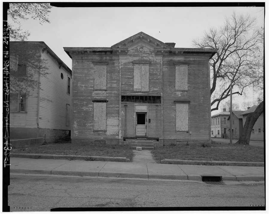
Simon & Anna Murphy House, 519 Gallagher Street, Springfield, Clark County, OH
Unattributed, . Library of Congress
Catherine Zimmerman House, 240-42 Fair Street, Springfield, Clark County, OH
Unattributed, . Library of Congress
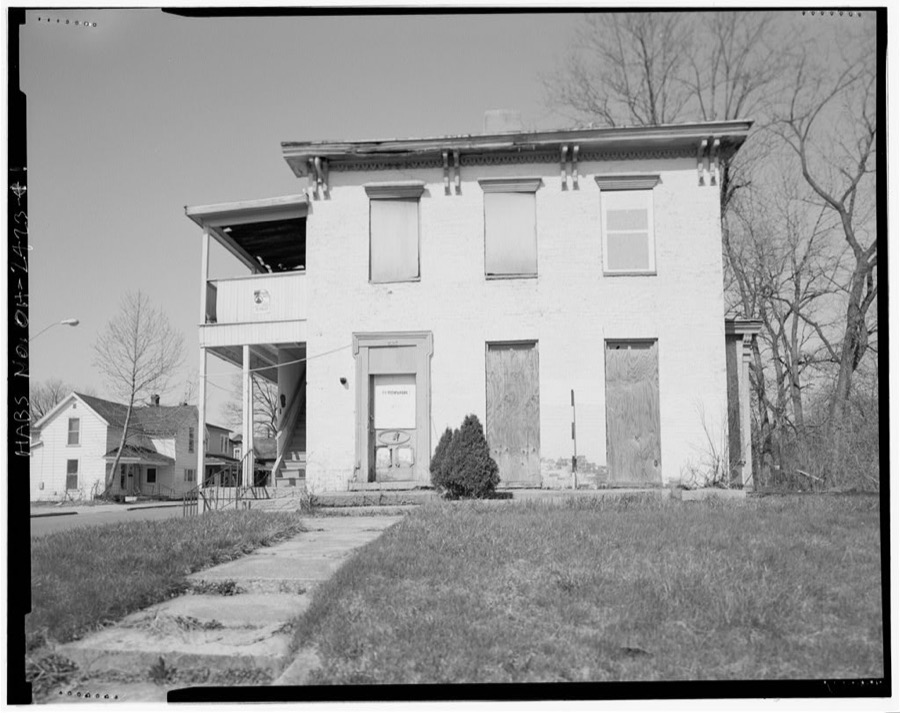
709 South Wittenberg Avenue (house), Springfield, Clark County, OH
Unattributed, . Library of Congress
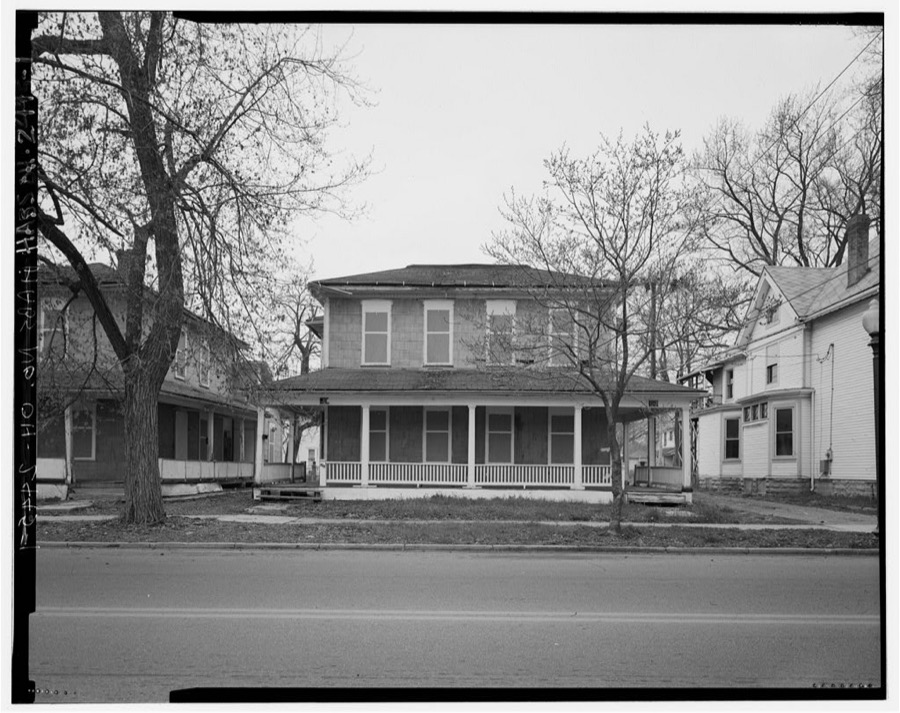
364-366 South Fountain Avenue (house), Springfield, Clark County, OH
Unattributed, . Library of Congress
451 East Pleasant Street (commercial building), Springfield, Clark County, OH
Unattributed, . Library of Congress
Andrew & Sarah Duncan House, 618 South Wittenberg Avenue, Springfield, Clark County, OH
Unattributed, . Library of Congress
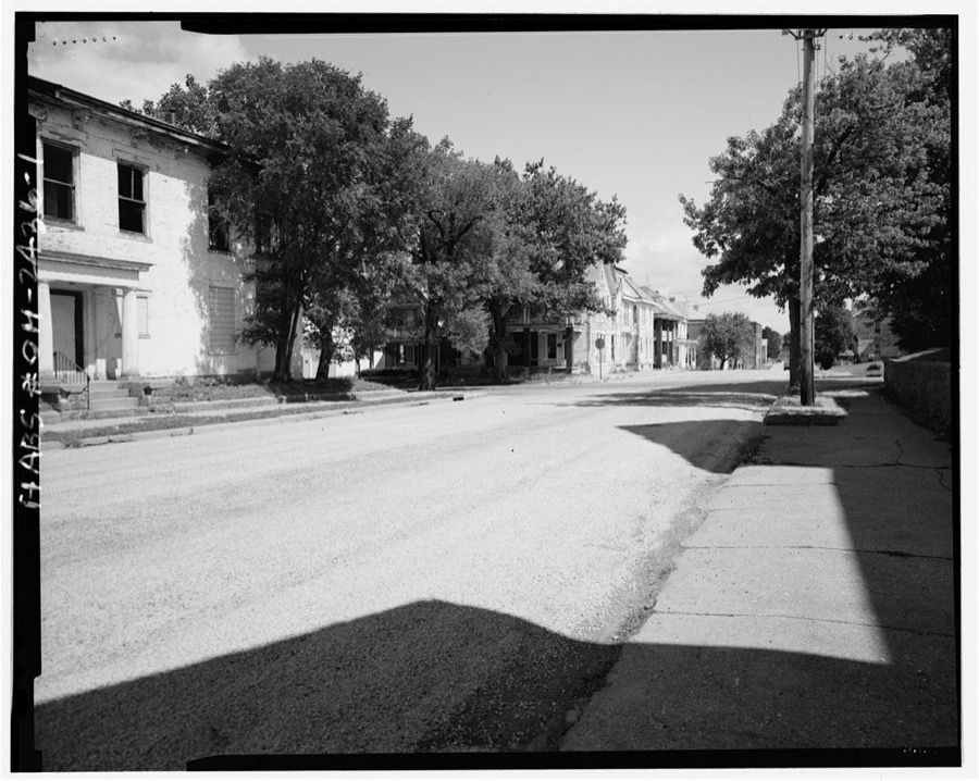
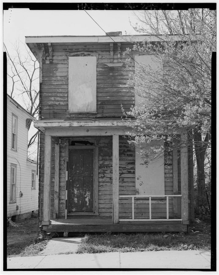
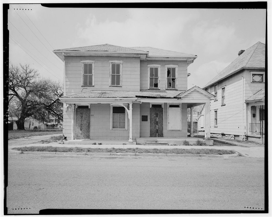
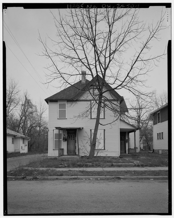
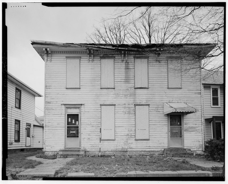
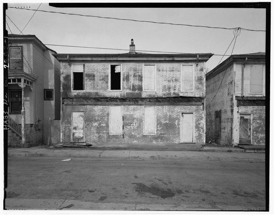
African-American Historic District, Springfield, Clark County, OH
Unattributed, . Library of Congress
Philip E. Montanus House, 415 South Yellow Springs Road, Springfield, Clark County, OH
Unattributed, . Library of Congress
545 South Center Street (house), Springfield, Clark County, OH
Unattributed, . Library of Congress
206 East Pleasant Street (house), Springfield, Clark County, OH
Unattributed, . Library of Congress
Horatius & Ethyl Clinger House, 202 West Liberty Street, Springfield, Clark County, OH
Unattributed, . Library of Congress
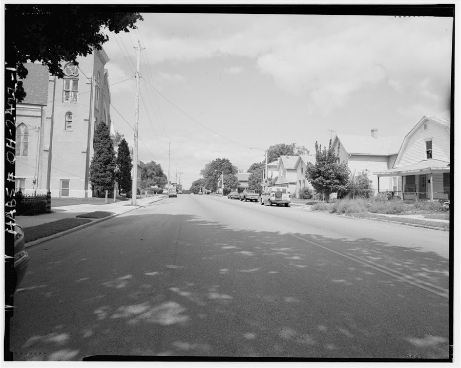
South Fountain Avenue Historic District, Springfield, Clark County, OH
Unattributed, . Library of Congress
705 Wiley Avenue (house), Springfield, Clark County, OH
Unattributed, . Library of Congress
722 Innisfallen Avenue (house), Springfield, Clark County, OH
Unattributed, . Library of Congress
John North House & Grocery, 514-16 East Pleasant Street, Springfield, Clark County, OH
Unattributed, . Library of Congress
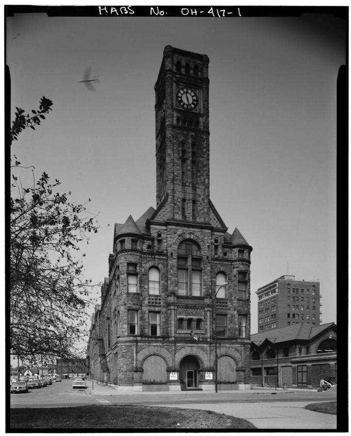
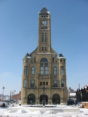
Springfield City Hall, 1890, 117 South Fountain Avenue, Springfield, Clark County, OH
Unattributed, . Library of Congress
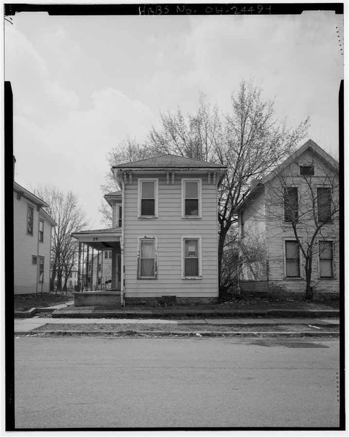
Thomas F. Dwyer House, 29 West Grand Avenue, Springfield, Clark County, OH
Unattributed, . Library of Congress
711 Wiley Avenue (house), Springfield, Clark County, OH
Unattributed, . Library of Congress
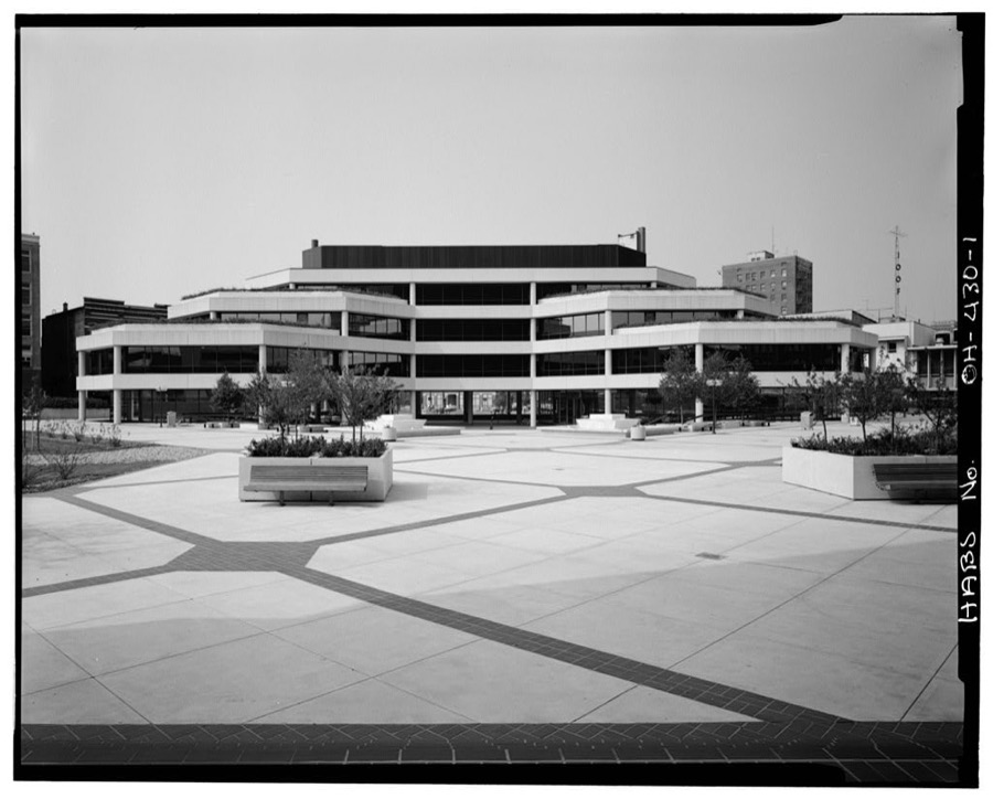
Springfield City Hall (1979), 76 East High Street, Springfield, Clark County, OH
Unattributed, . Library of Congress
515 Gallagher Street (house), Springfield, Clark County, OH
Unattributed, . Library of Congress
517-519 South Lowry Street (house), Springfield, Clark County, OH
Unattributed, . Library of Congress
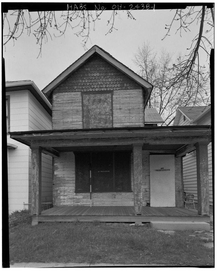
24-26 West Liberty Avenue (house), Springfield, Clark County, OH
Unattributed, . Library of Congress
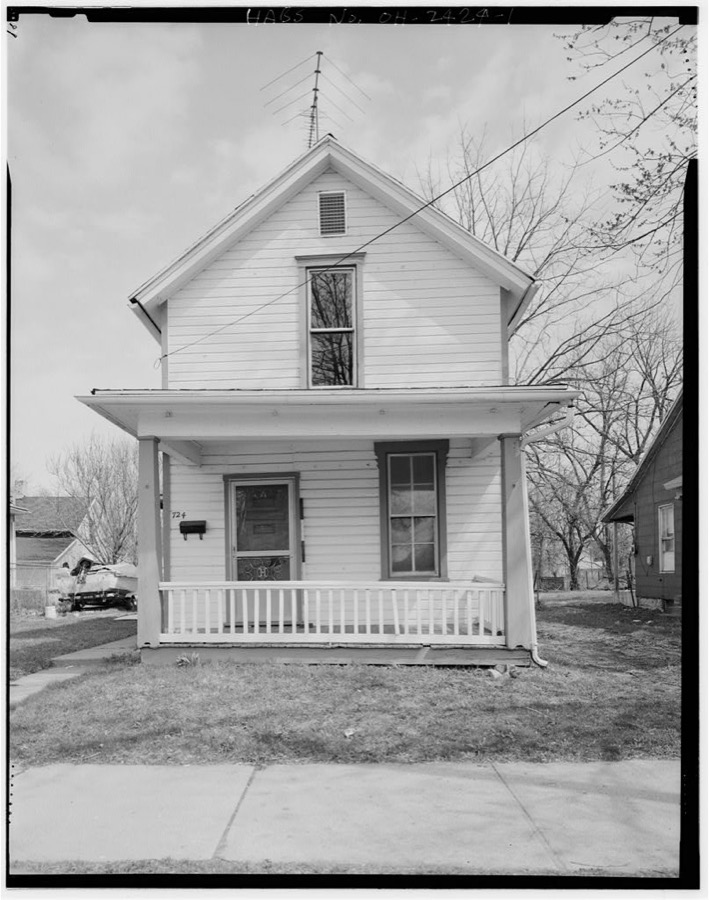
Samuel B. Clemens House, 724 South Center Street, Springfield, Clark County, OH
Unattributed, . Library of Congress
Daniel H. Gibson House, 426 Vine Street, Springfield, Clark County, OH
Unattributed, . Library of Congress
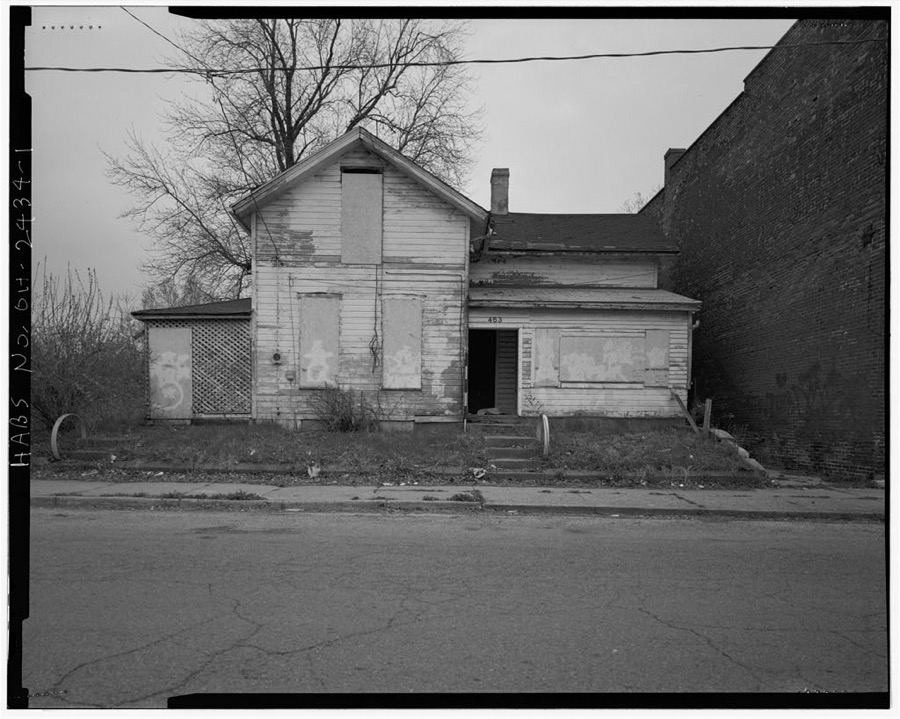
453 East Pleasant Street (house), Springfield, Clark County, OH
Unattributed, . Library of Congress
252 East Pleasant Street (house), Springfield, Clark County, OH
Unattributed, . Library of Congress
Charles J. & Fannie L. Bowlus House, 1261 South Fountain Avenue, Springfield, Clark County, OH
Unattributed, . Library of Congress
Oscar F. & Cletus Mitchell House, 627-29 Gallagher Street, Springfield, Clark County, OH
Unattributed, . Library of Congress
Theodore Parsons House, 609 Linden Avenue, Springfield, Clark County, OH
Unattributed, . Library of Congress
Julia Griffith House, 1305-1307 South Fountain Avenue, Springfield, Clark County, OH
Unattributed, . Library of Congress
627-629 South Wittenberg Avenue (house), Springfield, Clark County, OH
Unattributed, . Library of Congress
Charles S. & Lizzie Hyatt House, Springfield, Clark County, OH
Unattributed, . Library of Congress
1113-15 South Fountain Avenue (house), Springfield, Clark County, OH
Unattributed, . Library of Congress
Odd Fellows' Home of Ohio, 404 East McCreight Avenue, Springfield, Clark County, OH
Unattributed, . Library of Congress

Places on the National Register

32

Every property in this county listed on the National Register of Historic Places, with the year it was listed and the federal nomination document.

Photograph PropertyType ListedReference
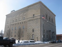
Arcade Hotelbuilding197474001410
Bookwalter, Francis, Housebuilding198080002954
Brewer Log Housebuilding197474001411
Crabill, David, Housebuilding197575001341
East High Street Districtdistrict197474001412
Edward Wren Company Buildingbuilding201616000844
Green Plain Monthly Meetinghousebuilding198282003551
Hertzler, Daniel, Housebuilding197878002018
Lagonda Club Buildingbuilding197575001342
Lagonda National Bankbuilding2017100001267
Main Street Buildingsbuilding197979001790
Main Street Buildings (Boundary Increase)building200000000749
Masonic Templebuilding200808001195
Municipal Buildingbuilding197373001394
Myers Daily Marketbuilding2018100002119
Myers Hallbuilding197575001343
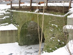
Old Enon Road Stone Arch Culvertstructure200909000209
Olive Branch High Schoolbuilding200909000563
Ollie's Tavernbuilding199796001619
Pennsylvania Housebuilding197373001396
Pringle--Patric Housebuilding199797001547
Reeser, C. A., Housebuilding198080002957
Shawnee Hotelbuilding198585003044
Springfield Metallic Casket Companybuilding201616000040
St. John's Evangelical Lutheran Churchbuilding200606000485
St. Joseph Roman Catholic Churchbuilding198282003552
St. Raphael Churchbuilding197676001381
Tecumseh Buildingbuilding200000001555
Third Presbyterian Churchbuilding198080002958
Thomas Manufacturing Company Warehousebuilding200101000055
Warder Public Librarybuilding197878002019
Westcott Housebuilding197474001413

Covered bridges

0

Clark County holds 0 covered bridges on the National Register, more than any other property type here. Each is a listed structure with a federal nomination on file.

Digitised newspapers

10 issues

Sampled issues, machine-read from the Library of Congress scan and published page by page, so every headline and column is searchable text.

Springfield Globe-Republic

Springfield, Ohio, 1884 to 1887. Machine-read from the Library of Congress scan.

Springfield Daily Republic

Springfield, O. [Ohio], 1887 to 1888. Machine-read from the Library of Congress scan.

Photographs from libraries nationwide

7 of 23 shown

Selected from the Digital Public Library of America's 23 image records catalogued for this county. Every one shown here carries a public-domain status or a licence that permits reuse on a site that carries advertising; non-commercial, share-alike and restricted images are excluded. The selection is spread across the county's towns (at most eight per town), so no single institution's bulk upload crowds out the rest. Each opens the holding library's record, and the complete set at the Digital Public Library of America is one click away.

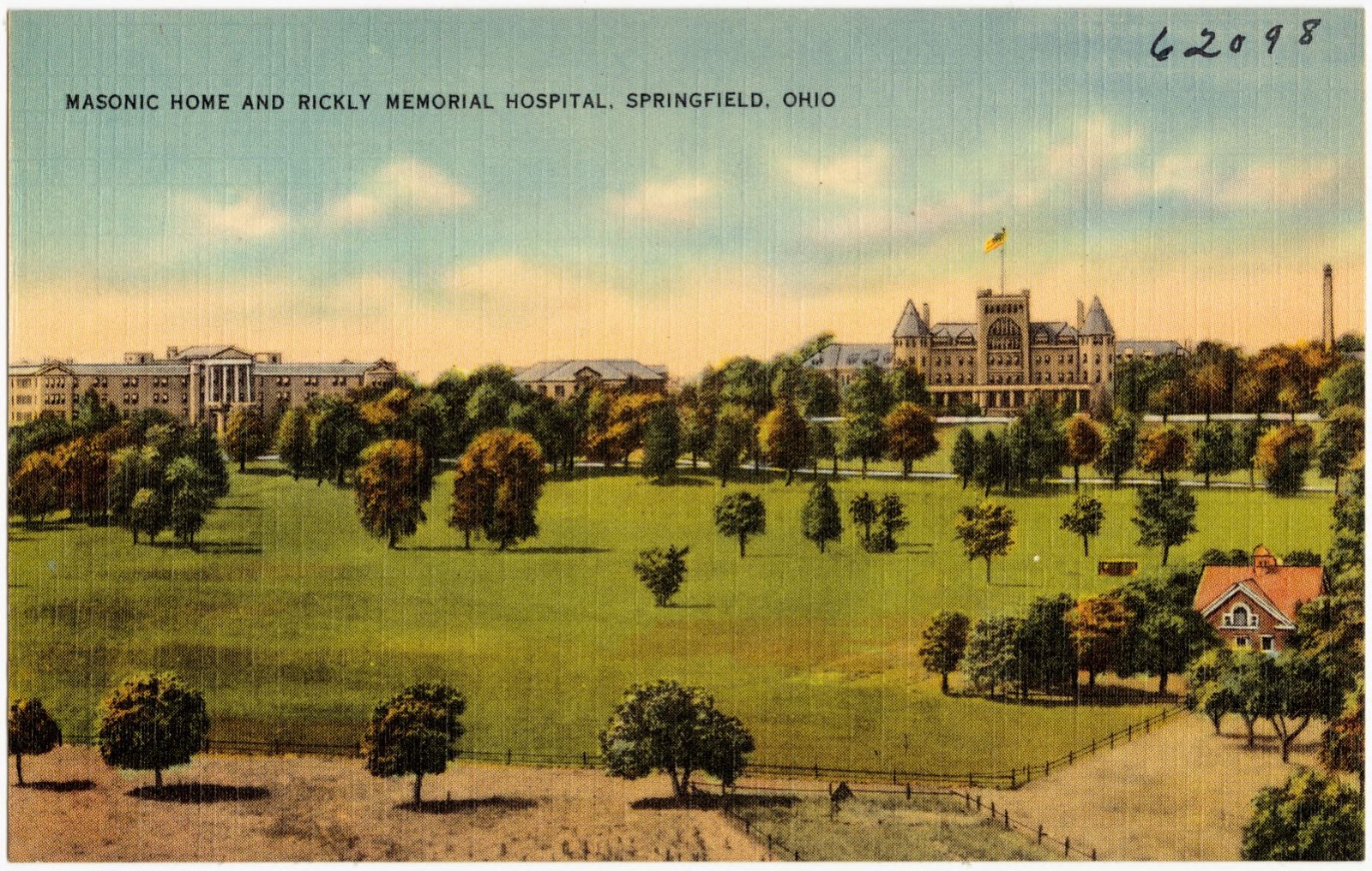
Masonic home and Rickly Memorial Hospital, Springfield, Ohio, Boston Public Library - undated
Masonic home and Rickly Memorial Hospital, Springfield, Ohio. Boston Public Library, via the Digital Public Library of America.
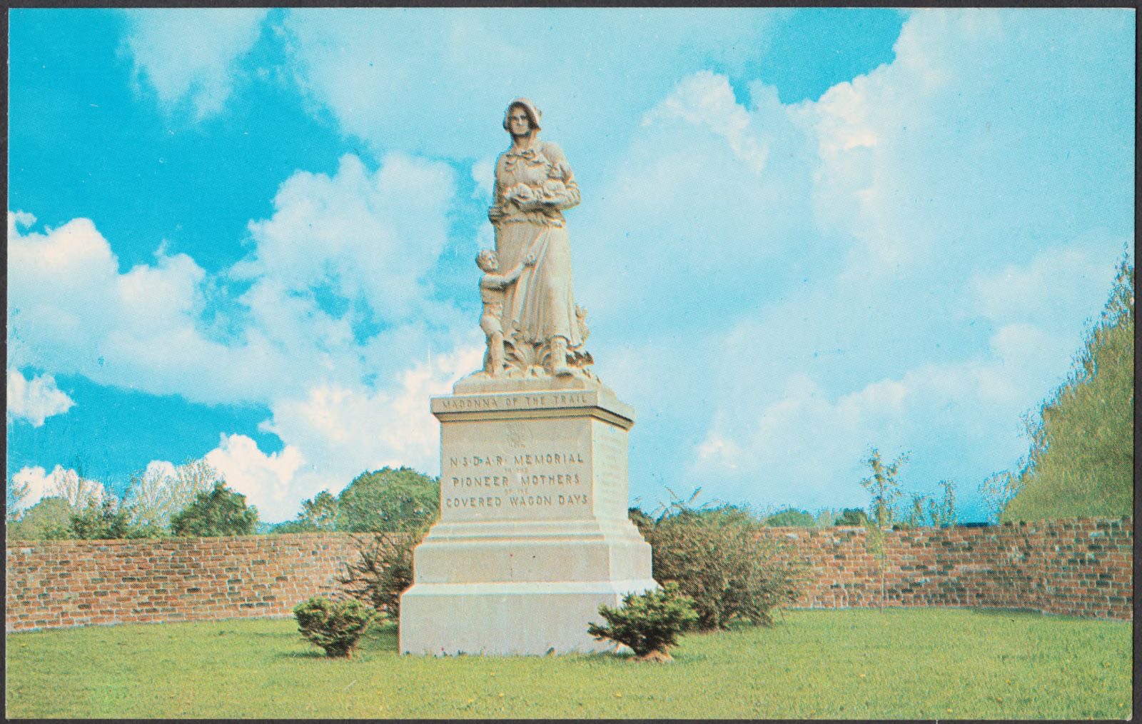
Madonna of the trails, Boston Public Library - undated
Madonna of the trails. Boston Public Library, via the Digital Public Library of America.
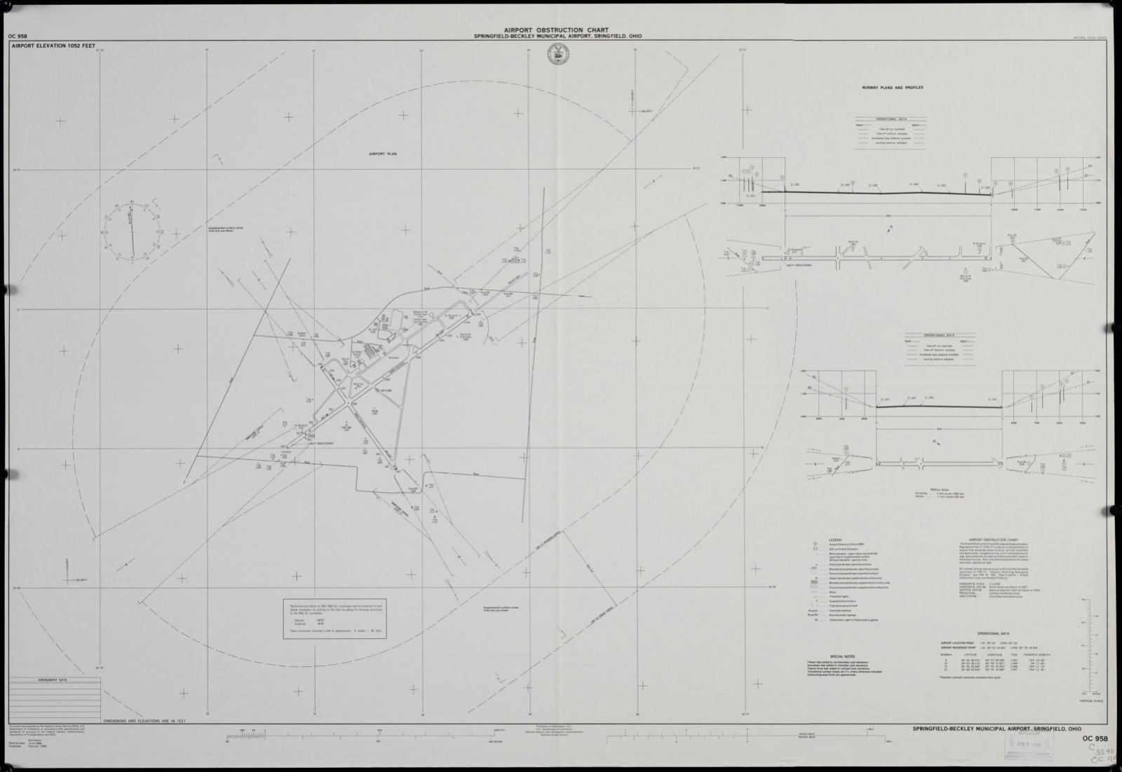
Airport obstruction chart, OC 958, Springfield-Beckley Municipal Airport, Springfield, Ohio, Boston Public Library - undated
Airport obstruction chart, OC 958, Springfield-Beckley Municipal Airport, Springfield, Ohio. United States. National Ocean Service, Boston Public Library, via the Digital Public Library of America.
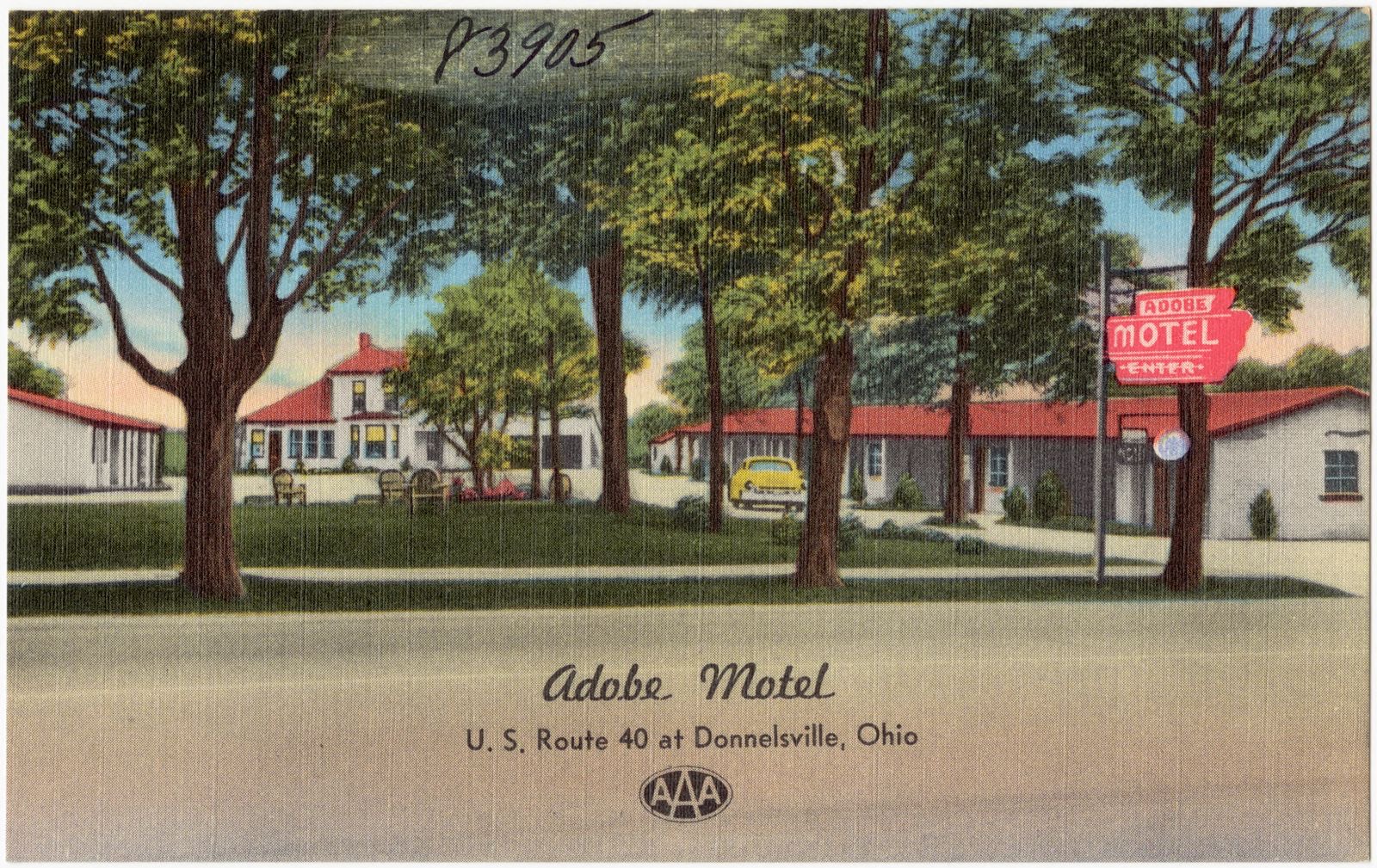
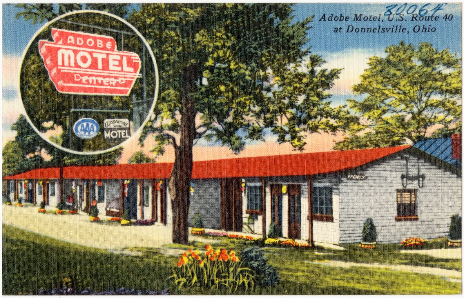
Adobe Motel, U. S. Route 40 at Donnelsville, Ohio, Boston Public Library - undated
Adobe Motel, U. S. Route 40 at Donnelsville, Ohio. Boston Public Library, via the Digital Public Library of America.
Adobe Motel, U. S. Route 40 at Donnelsville, Ohio, Boston Public Library - undated
Adobe Motel, U. S. Route 40 at Donnelsville, Ohio. Boston Public Library, via the Digital Public Library of America.
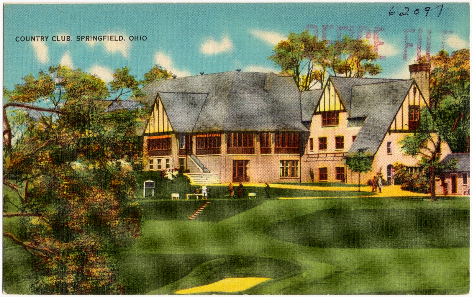
Country club, Springfield, Ohio, Boston Public Library - undated
Country club, Springfield, Ohio. Boston Public Library, via the Digital Public Library of America.
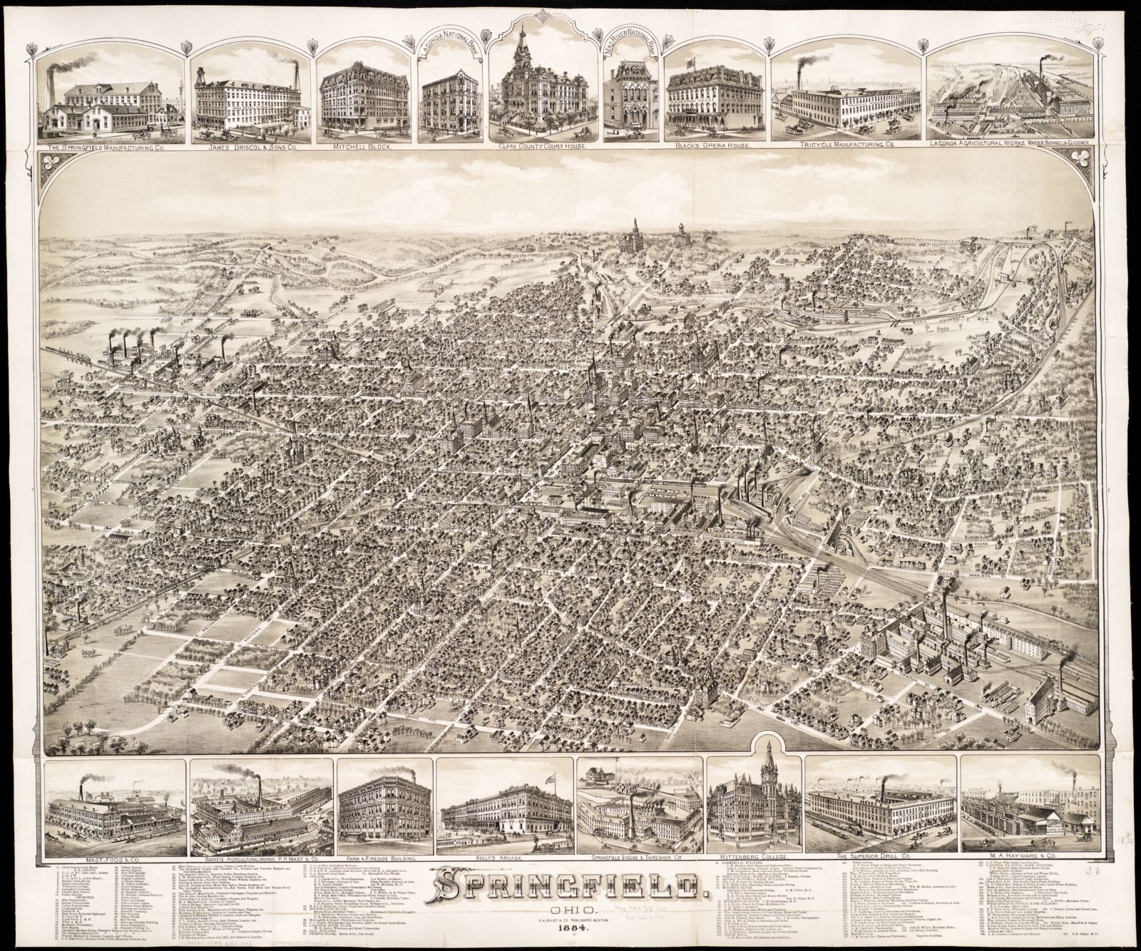
Springfield, Ohio, Boston Public Library - undated
Springfield, Ohio. O.H. Bailey & Co, Boston Public Library, via the Digital Public Library of America.

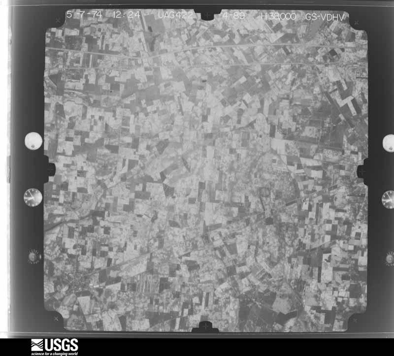
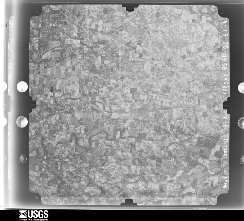
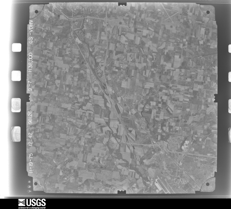
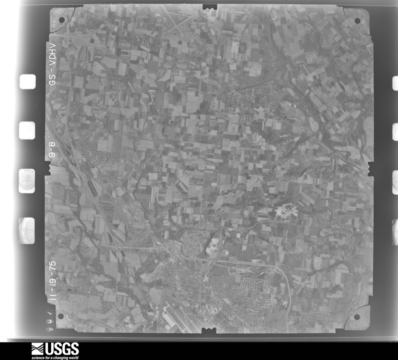
The county from the air

40 of 523 shown

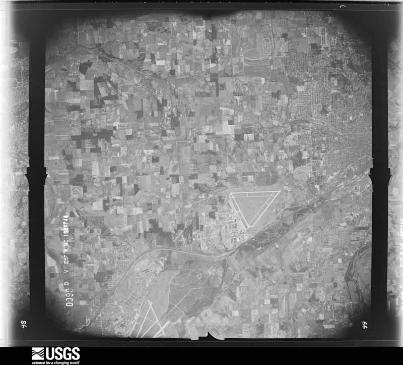
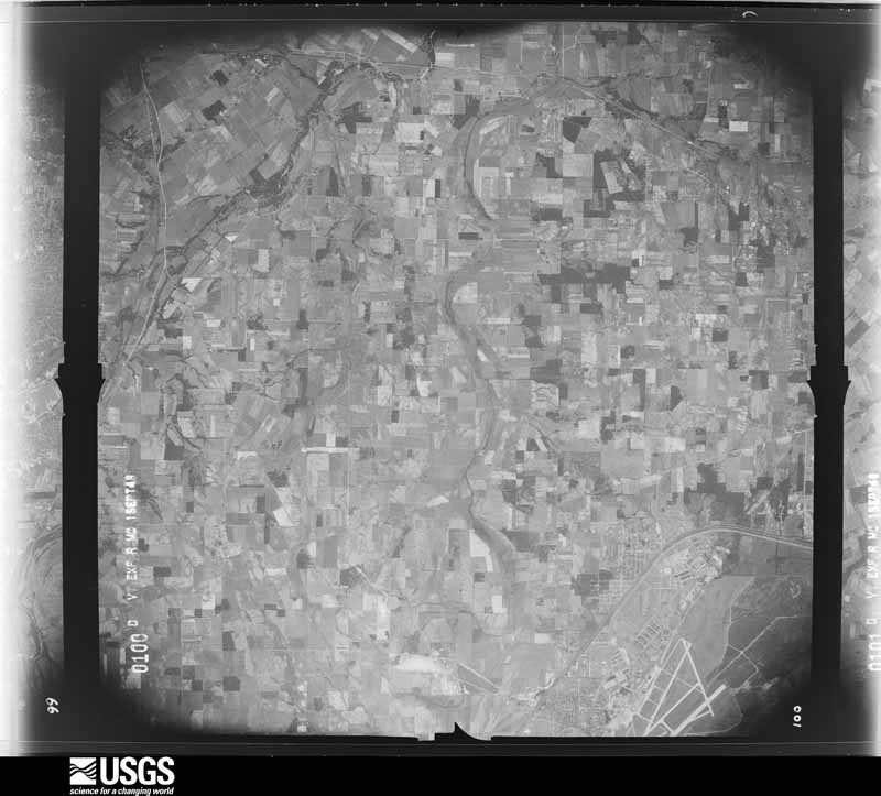
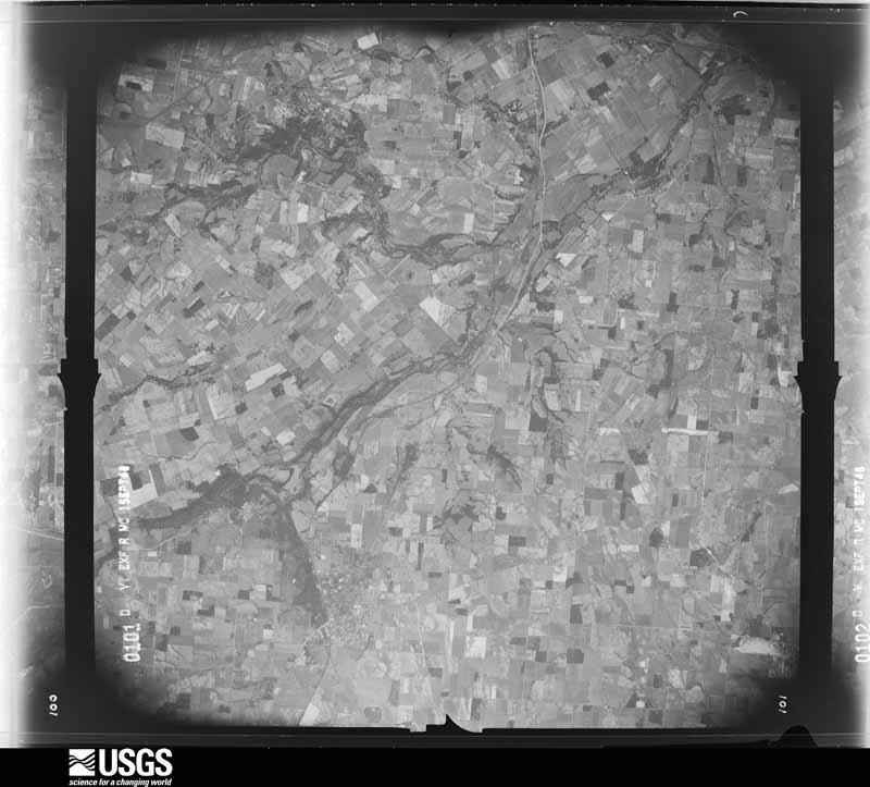
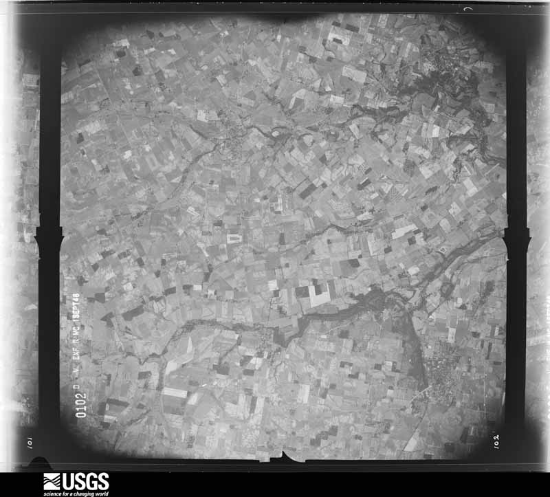
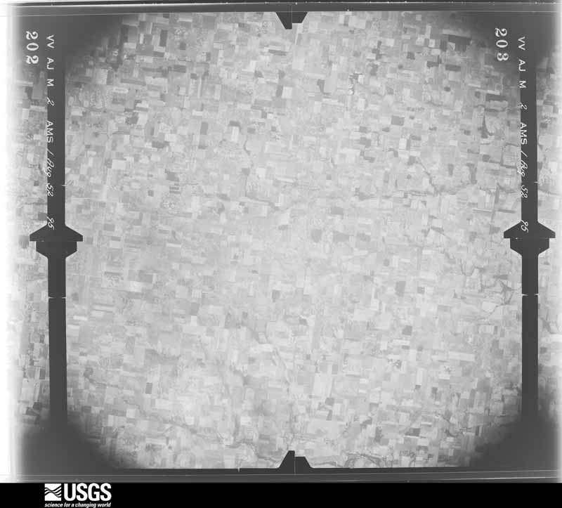
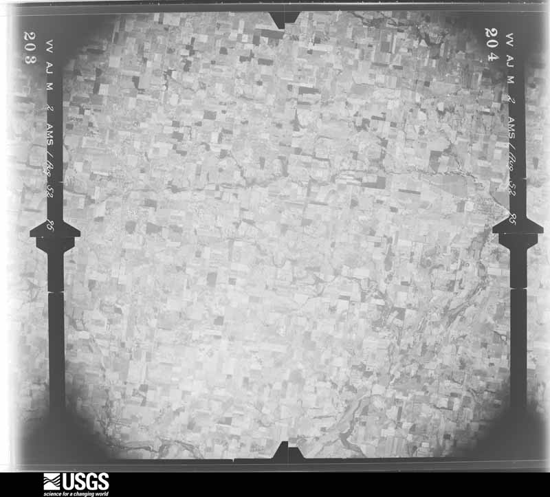
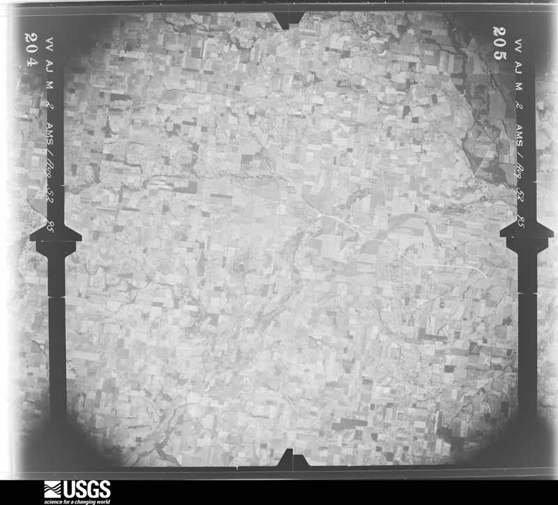
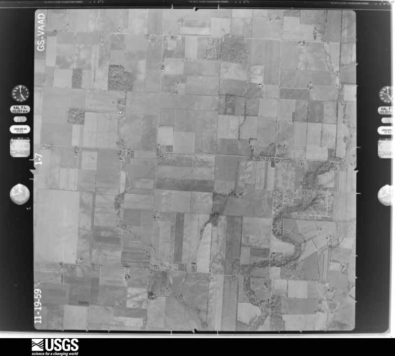
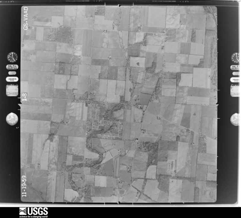
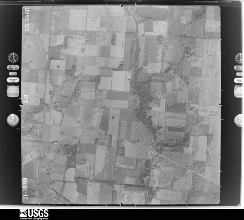
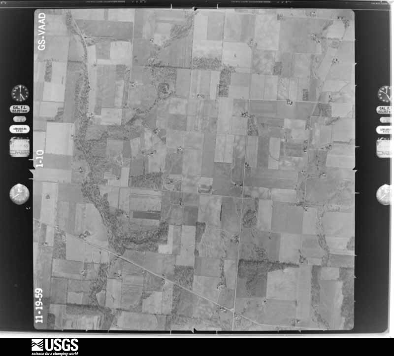
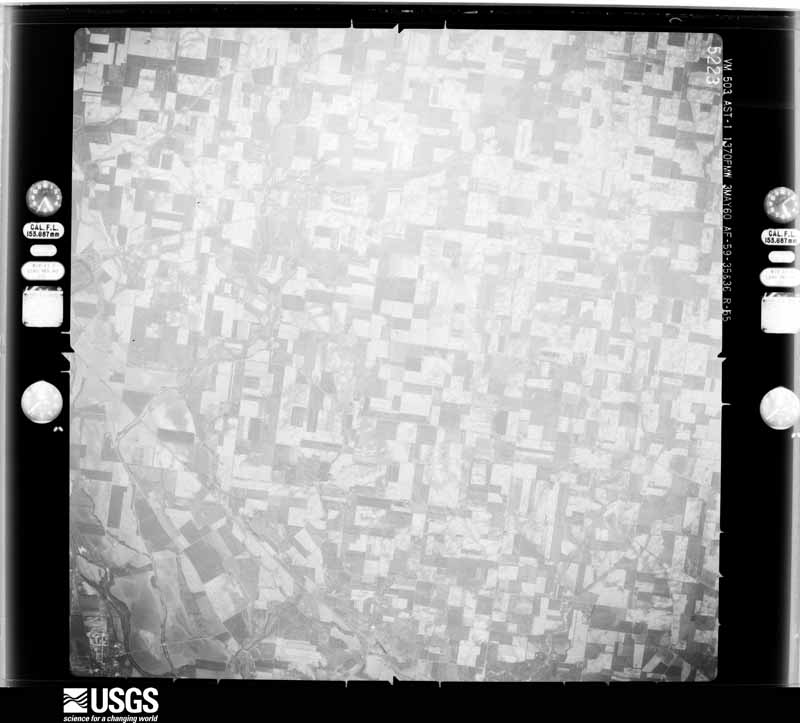
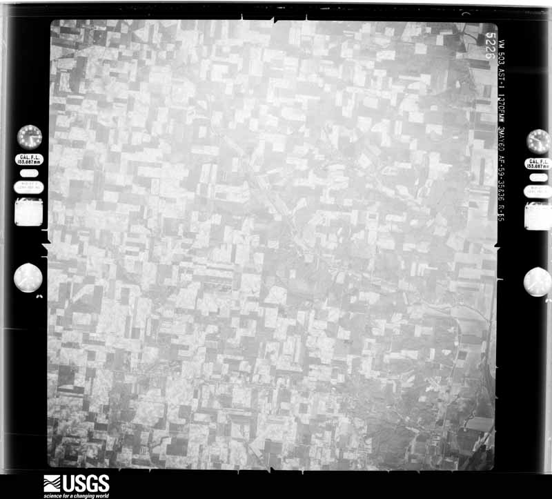
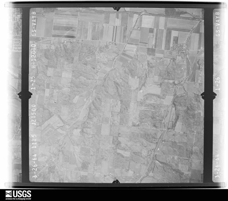
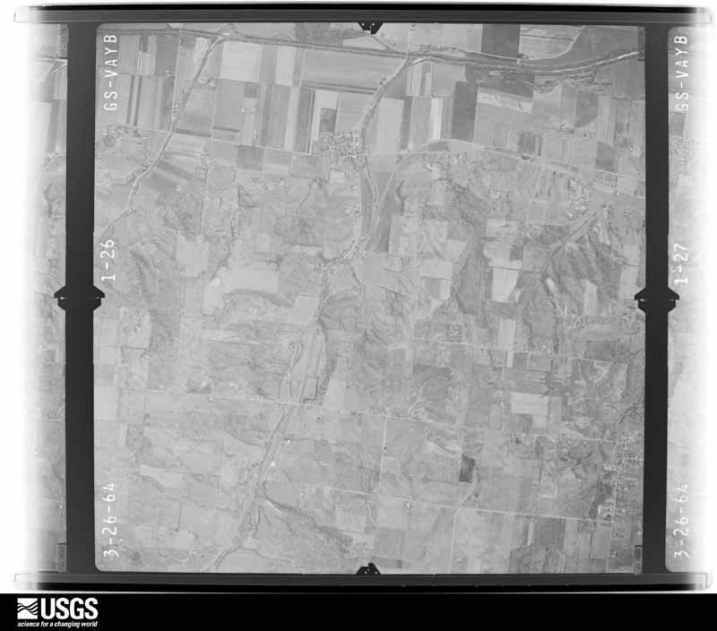
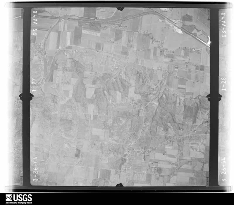
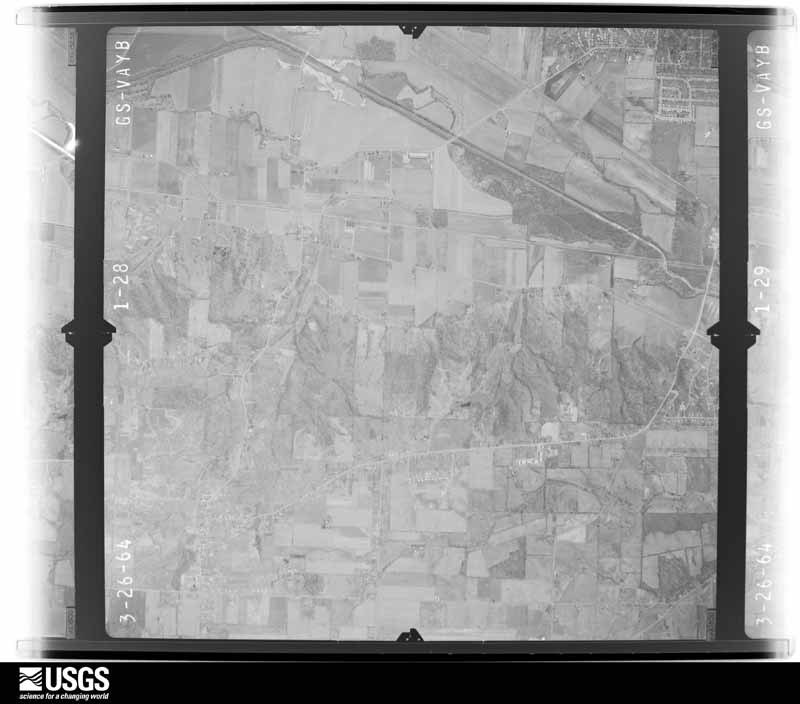
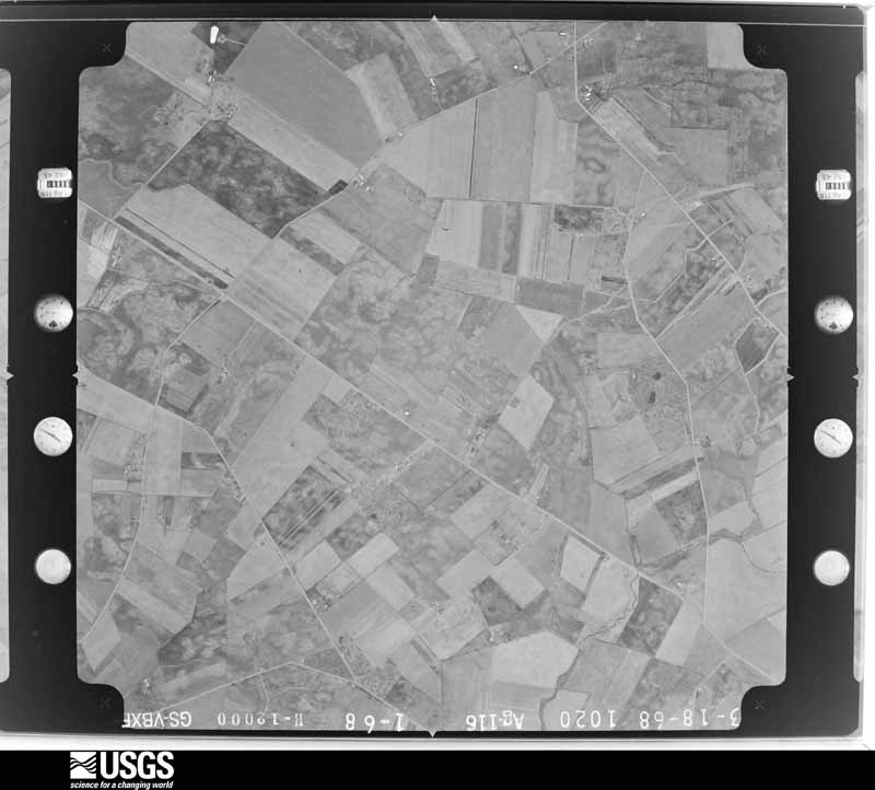
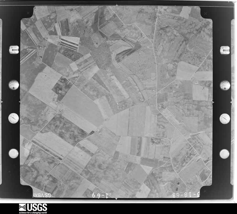
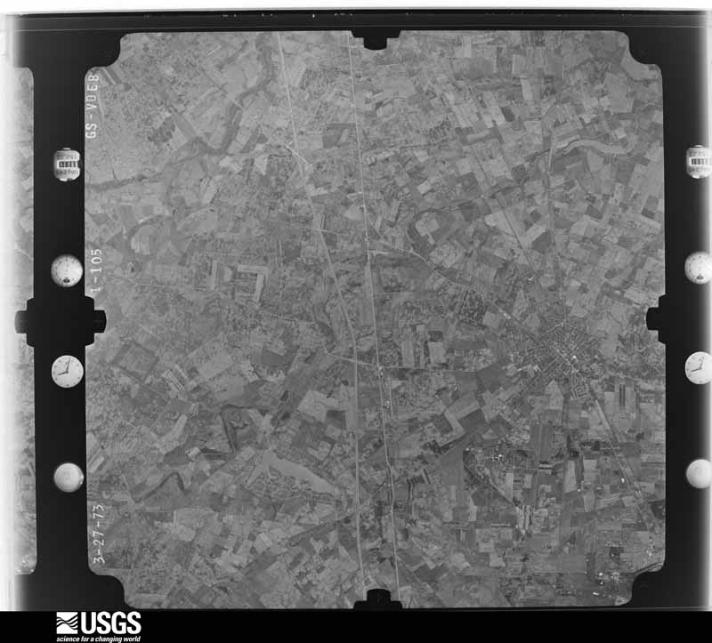
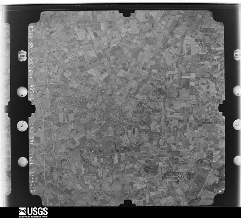
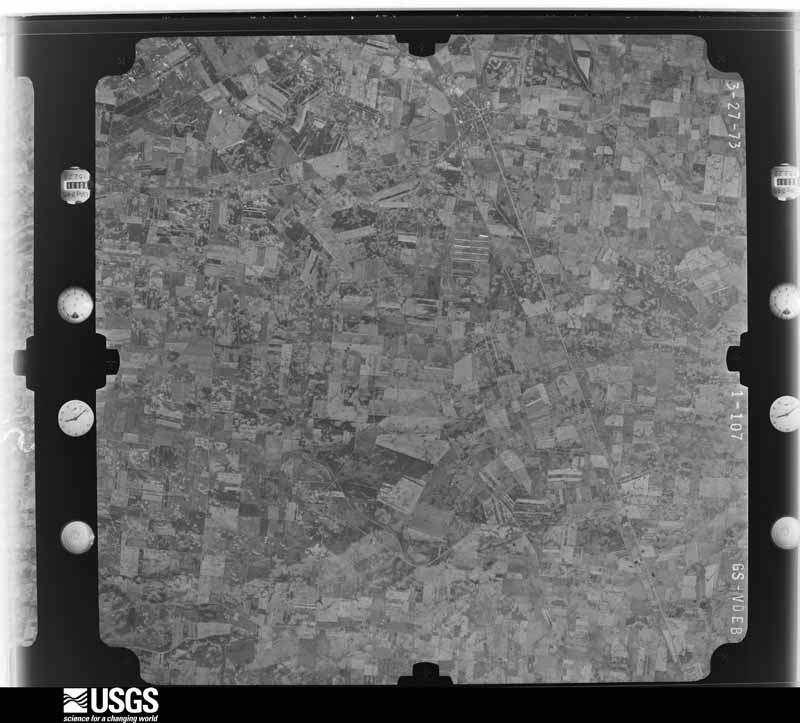
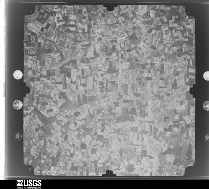
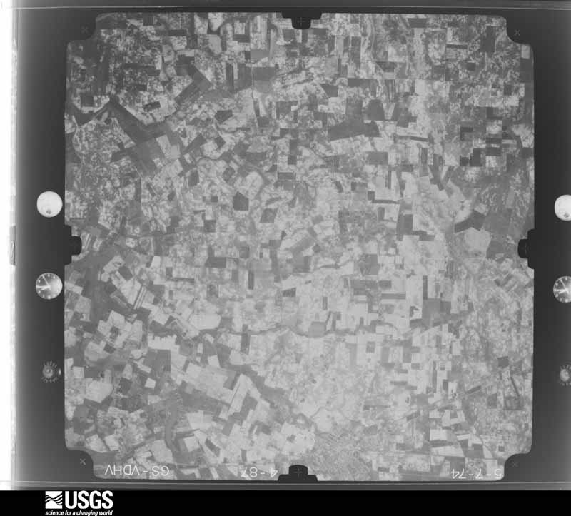
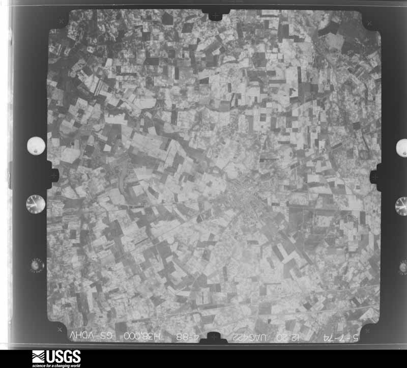
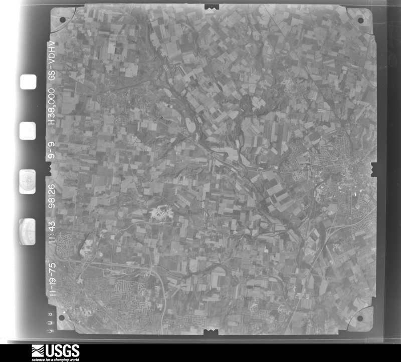
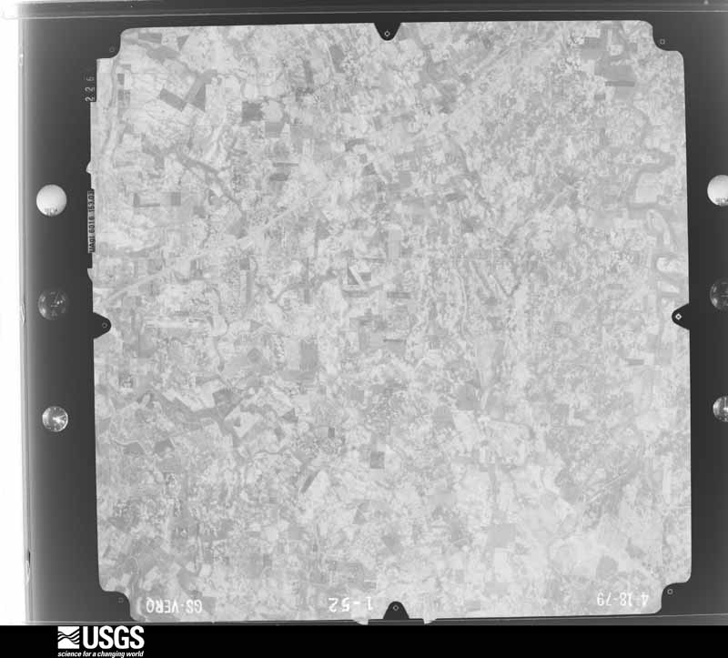
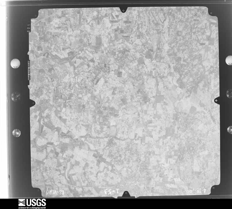
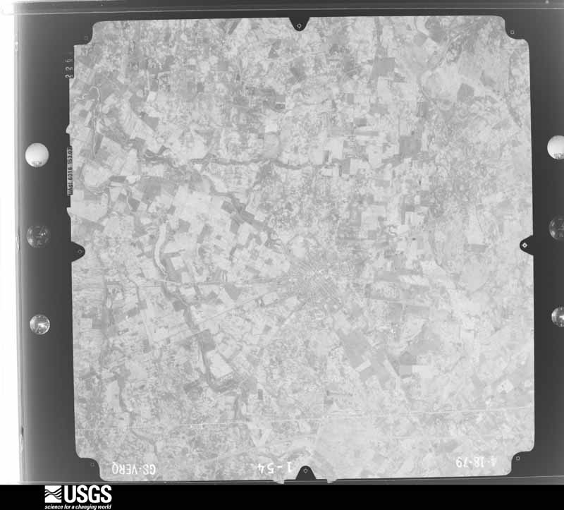
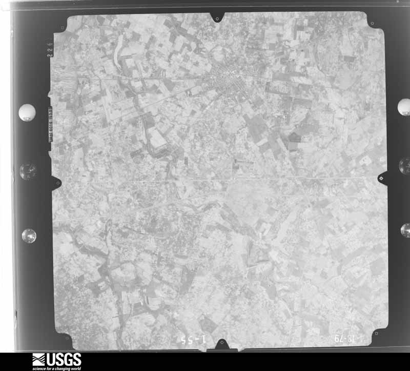
Flown by the U.S. Geological Survey between 1937 and 1989, the Aerial Photo Single Frames collection is the definitive mid-century view of the land: fields, roads and rivers as the camera saw them. 523 frames touch this county; the selection below spreads across the decades of flights (at most four per year), so one flight cannot crowd out the rest. The full set is free to browse and download at EarthExplorer under the dataset Aerial Photo Single Frames.

U.S. Geological Survey aerial photograph, 1948-09-01, scale 1:67634
1948-09-01, scale 1:67634. U.S. Geological Survey aerial photograph.
U.S. Geological Survey aerial photograph, 1948-09-01, scale 1:67634
1948-09-01, scale 1:67634. U.S. Geological Survey aerial photograph.
U.S. Geological Survey aerial photograph, 1948-09-01, scale 1:67634
1948-09-01, scale 1:67634. U.S. Geological Survey aerial photograph.
U.S. Geological Survey aerial photograph, 1948-09-01, scale 1:67634
1948-09-01, scale 1:67634. U.S. Geological Survey aerial photograph.
U.S. Geological Survey aerial photograph, 1952-08-01, scale 1:69000
1952-08-01, scale 1:69000. U.S. Geological Survey aerial photograph.
U.S. Geological Survey aerial photograph, 1952-08-01, scale 1:69000
1952-08-01, scale 1:69000. U.S. Geological Survey aerial photograph.
U.S. Geological Survey aerial photograph, 1952-08-01, scale 1:69000
1952-08-01, scale 1:69000. U.S. Geological Survey aerial photograph.
U.S. Geological Survey aerial photograph, 1952-08-01, scale 1:69000
1952-08-01, scale 1:69000. U.S. Geological Survey aerial photograph.
U.S. Geological Survey aerial photograph, 1959-11-19, scale 1:18000
1959-11-19, scale 1:18000. U.S. Geological Survey aerial photograph.
U.S. Geological Survey aerial photograph, 1959-11-19, scale 1:18000
1959-11-19, scale 1:18000. U.S. Geological Survey aerial photograph.
U.S. Geological Survey aerial photograph, 1959-11-19, scale 1:18000
1959-11-19, scale 1:18000. U.S. Geological Survey aerial photograph.
U.S. Geological Survey aerial photograph, 1959-11-19, scale 1:18000
1959-11-19, scale 1:18000. U.S. Geological Survey aerial photograph.
U.S. Geological Survey aerial photograph, 1960-05-03, scale 1:60000
1960-05-03, scale 1:60000. U.S. Geological Survey aerial photograph.
U.S. Geological Survey aerial photograph, 1960-05-03, scale 1:60000
1960-05-03, scale 1:60000. U.S. Geological Survey aerial photograph.
U.S. Geological Survey aerial photograph, 1960-05-03, scale 1:60000
1960-05-03, scale 1:60000. U.S. Geological Survey aerial photograph.
U.S. Geological Survey aerial photograph, 1960-05-03, scale 1:60000
1960-05-03, scale 1:60000. U.S. Geological Survey aerial photograph.
U.S. Geological Survey aerial photograph, 1964-04-15, scale 1:24000
1964-04-15, scale 1:24000. U.S. Geological Survey aerial photograph.
U.S. Geological Survey aerial photograph, 1964-04-15, scale 1:24000
1964-04-15, scale 1:24000. U.S. Geological Survey aerial photograph.
U.S. Geological Survey aerial photograph, 1964-04-15, scale 1:24000
1964-04-15, scale 1:24000. U.S. Geological Survey aerial photograph.
U.S. Geological Survey aerial photograph, 1964-04-15, scale 1:24000
1964-04-15, scale 1:24000. U.S. Geological Survey aerial photograph.
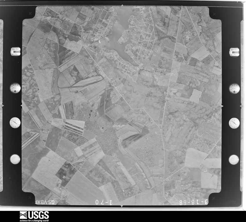
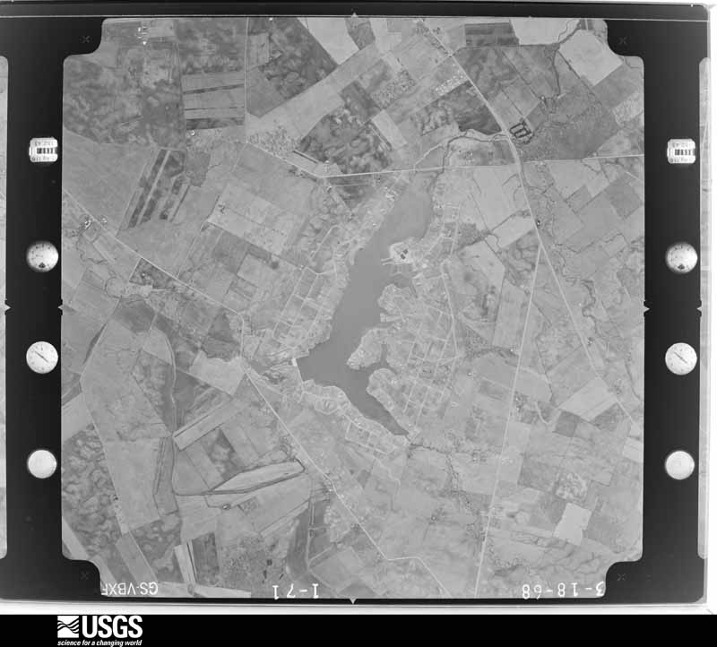
U.S. Geological Survey aerial photograph, 1968-03-18, scale 1:24000
1968-03-18, scale 1:24000. U.S. Geological Survey aerial photograph.
U.S. Geological Survey aerial photograph, 1968-03-18, scale 1:24000
1968-03-18, scale 1:24000. U.S. Geological Survey aerial photograph.
U.S. Geological Survey aerial photograph, 1968-03-18, scale 1:24000
1968-03-18, scale 1:24000. U.S. Geological Survey aerial photograph.
U.S. Geological Survey aerial photograph, 1968-03-18, scale 1:24000
1968-03-18, scale 1:24000. U.S. Geological Survey aerial photograph.
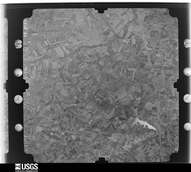
U.S. Geological Survey aerial photograph, 1973-10-01, scale 1:76000
1973-10-01, scale 1:76000. U.S. Geological Survey aerial photograph.
U.S. Geological Survey aerial photograph, 1973-10-01, scale 1:76000
1973-10-01, scale 1:76000. U.S. Geological Survey aerial photograph.
U.S. Geological Survey aerial photograph, 1973-10-01, scale 1:76000
1973-10-01, scale 1:76000. U.S. Geological Survey aerial photograph.
U.S. Geological Survey aerial photograph, 1973-10-01, scale 1:76000
1973-10-01, scale 1:76000. U.S. Geological Survey aerial photograph.
U.S. Geological Survey aerial photograph, 1974-05-01, scale 1:76000
1974-05-01, scale 1:76000. U.S. Geological Survey aerial photograph.
U.S. Geological Survey aerial photograph, 1974-05-01, scale 1:76000
1974-05-01, scale 1:76000. U.S. Geological Survey aerial photograph.
U.S. Geological Survey aerial photograph, 1974-05-01, scale 1:76000
1974-05-01, scale 1:76000. U.S. Geological Survey aerial photograph.
U.S. Geological Survey aerial photograph, 1974-05-01, scale 1:76000
1974-05-01, scale 1:76000. U.S. Geological Survey aerial photograph.
U.S. Geological Survey aerial photograph, 1975-04-13, scale 1:76000
1975-04-13, scale 1:76000. U.S. Geological Survey aerial photograph.
U.S. Geological Survey aerial photograph, 1975-11-19, scale 1:76000
1975-11-19, scale 1:76000. U.S. Geological Survey aerial photograph.
U.S. Geological Survey aerial photograph, 1975-11-19, scale 1:76000
1975-11-19, scale 1:76000. U.S. Geological Survey aerial photograph.
U.S. Geological Survey aerial photograph, 1975-11-19, scale 1:76000
1975-11-19, scale 1:76000. U.S. Geological Survey aerial photograph.
U.S. Geological Survey aerial photograph, 1979-11-01, scale 1:80000
1979-11-01, scale 1:80000. U.S. Geological Survey aerial photograph.
U.S. Geological Survey aerial photograph, 1979-11-01, scale 1:80000
1979-11-01, scale 1:80000. U.S. Geological Survey aerial photograph.
U.S. Geological Survey aerial photograph, 1979-11-01, scale 1:80000
1979-11-01, scale 1:80000. U.S. Geological Survey aerial photograph.
U.S. Geological Survey aerial photograph, 1979-11-01, scale 1:80000
1979-11-01, scale 1:80000. U.S. Geological Survey aerial photograph.

City directories

2 volumes

The "who lived here, by year" answer: pre-1929 public-domain directory volumes naming the county's people, machine-read and searchable as text.

Weather records

30 stations, 20 gages

The thermometers that kept this county's weather, and the gages that watched its rivers, as the federal records hold them. The extremes below are measured values from those records, not estimates.

The 1950 census, district by district

49 districts

Who lived here in 1950, one enumeration district at a time, as the Census Bureau described each district. Each row opens its official National Archives result, with Population Schedules and ED Maps available there.

  • 12-1Bethel township: Donnelsville village
  • 12-2New Carlisle village: New Carlisle village - That part north of State Hwy. 71
  • 12-3New Carlisle village - That part south of State Hwy. 71
  • 12-4Crystal Lakes, unincorporated: Crystal Lakes, unincorporated - That part Bounded by Tulip Rd., Beach Dr., Vine Rd., Park Dr., Walnut Rd.; Lake Rd., Indiana, Columbus and Eastern Railroad; Cedar Rd. extended, Cedar Rd., Lake Rd., Birch Rd.; Park Dr., Lake Shore Dr., Oak Rd., Lake Shore Dr.
  • 12-5Crystal Lakes, unincorporated - That part Bounded by Tulip Rd. extended, Tulip Rd.; Lake Shore Dr., Oak Rd., Lake Shore Dr., Park Dr.; Birch Rd.; 1/8 mile offset west of Park Dr. and Lake Shore Dr., Oak Rd., Lincoln Dr., Queen Rd., 1/8 mile offset west of and parallel to Lincoln Dr.
  • 12-6Bethel township - That part north of U.S. Hwy. 40, outside Donnelsville and New Carlisle villages
  • 12-7Bethel township - That part south of U.S. Hwy. 40 and east of Jackson Creek, outside Donnelsville village and excluding Clark County Infirmary
  • 12-8Clark County Infirmary (In Bethel township)
  • 12-9Bethel township - That part south of U.S. Hwy. 40 and west of Jackson Creek, outside Crystal Lakes, unincorporated (See separate map for boundaries of Crystal Lakes)
  • 12-10German township: Lawrenceville village
  • 12-11Tremont City village
  • 12-12German township - That part east of the section line from the northwest corner of section 17, Township 4, Range 10 to the southwest corner of section 18, Township 4, Range 9, outside Lawrenceville and Tremont City villages
  • 12-13German township - That part west of the section line from the northwest corner of section 17, Township 4, Range 10 to the southwest corner of section 18, Township 4, Range 9, outside Lawrenceville
  • 12-14Greene township: Clifton village - That part in Clark County, comprising part of Greene township (Remainder of Clifton village is in Miami township, Greene County)
  • 12-15Greene township - That part east of Little Miami River and the North Fork of the Little Miami River
  • 12-16Greene township - That part west of Little Miami River and the North Fork of the Little Miami River, outside Clifton village
  • 12-17Harmony township: Vienna village
  • 12-18Harmony township - That part north of the New York Central Railroad, outside Vienna village
  • 12-19Harmony township - That part south of the New York Central Railroad
  • 12-20Madison township: South Charleston village: South Charleston village - That part north of U.S. Hwy. 42
  • 12-21South Charleston village - That part south of U.S. Hwy. 42
  • 12-22Madison township - That part outside South Charleston village
  • 12-23Mad River township: Enon village
  • 12-24Mad River township - That part east of the section line from the junction of the west section line of section 27, Township 4, Range 9 with the township line in Mad River to the southwest corner of section 28, Township 4, Range 8
  • 12-25Mad River township - That part west of the section line from the junction of the west section line of section 27, Township 4, Range 9 with the township line in Mad River to the southwest corner of section 28, Township 4, Range 8, outside Enon village
  • 12-26Moorefield township: Moorefield township - That part south and east of State Hwy. 4
  • 12-27Moorefield township - That part north and west of State Hwy. 4
  • 12-28Pike township: North Hampton village
  • 12-29Pike township - That part north of State Hwy. 70, outside North Hampton village
  • 12-30Pike township - That part south of State Hwy. 70, outside North Hampton village
  • 12-31Pleasant township: Catawba village
  • 12-32Pleasant township - That part outside Catawba village
  • 12-33Springfield township, outside Springfield city: Springfield township - That part excluding Clark County Children's Home Bounded by Township line; Township line; Old Columbus Rd.; Springfield city limits, Cleveland, Cincinnati, Chicago and St. Louis Railway, Buck Creek, Merritt extended, Merritt, Springfield city limits, Lagonda Ave., Tavenner, Tavenner extended, N. Belmont Ave., Springfield city limits
  • 12-34Clark County Children's Home (In Springfield township)
  • 12-35Springfield township - That part Bounded by Springfield city limits, Merritt, Merritt extended; Buck Creek, Cleveland, Cincinnati, Chicago and St. Louis Railway; Springfield city limits
  • 12-36Springfield township - That part Bounded by Tavenner extended, Tavenner; Lagonda Ave., Springfield city limits; Springfield city limits; N. Belmont Ave.
  • 12-37Springfield township - That part Bounded by Township line; Springfield city limits, Mad River, Erie Railroad, National Rd. (U.S. Hwy. 40), Lower Valley Pike; Mad River; Township line
  • 12-38Springfield township - That part excluding Masonic State Home Bounded by Erie Railroad; Mad River, Springfield city limits, Mad River; Cleveland, Cincinnati, Chicago and St. Louis Railway; Mad River, Lower Valley Pike, National Rd. (U.S. Hwy. 40)
  • 12-39Masonic State Home (In Springfield township)
  • 12-40Springfield township - That part Bounded by Hillside Ave., Unglaub Ave., Unnamed road; Ogden Rd., National Rd. (U.S. Hwy. 40), Fifth Ave., Maplewood Ave., Fourth Ave.; Springfield - Washington - Ct. House Rd. (State Hwy. 70); Springfield city limits
  • 12-41Springfield township - That part Bounded by Old Columbus Rd.; Township line; National Rd. (U.S. Hwy. 40); Ogden Rd., Unnamed road, Unglaub Ave., Hillside Ave., Springfield city limits
  • 12-42Springfield township - That part Bounded by National Rd. (U.S. Hwy. 40); Township line; Springfield - Washington - Ct House Rd. (State Hwy. 70); Fourth Ave., Maplewood Ave., Fifth Ave.
  • 12-43Springfield township - That part Bounded by Springfield - Washington - Ct. House Rd. (State Hwy. 70); Township line; Township line; Selma Pike, E. Possum Rd., E. Bird Rd.
  • 12-44Springfield township - That part Bounded by Detroit, Toledo and Ironton Railroad; Rocket Ave.; Burnett Rd., Springfield city limits
  • 12-45Springfield township - That part Bounded by Springfield - Washington - Ct. House Rd. (State Hwy. 70); E. Bird Rd., E. Possum Rd., Selma Pike; Township line; State Hwy. 72, Highview Ave., York, Elks Ave., Clifton, Lyle, S. Limestone (State Hwy. 72), Springfield city limits, Burnett Rd., Rocket Ave., Detroit, Toledo and Ironton Railroad, Springfield city limits
  • 12-46Springfield township - That part Bounded by Lyle, Clifton, Elks Ave.; York; Highview Ave.; S. Limestone (State Hwy. 72)
  • 12-47Springfield township - That part Bounded by Springfield city limits; S. Limestone (State Hwy. 72); Township line; Pittsburgh, Cincinnati, Chicago and St. Louis Railroad
  • 12-48Springfield township - That part Bounded by Springfield city limits; Pittsburgh, Cincinnati, Chicago and St. Louis Railroad; Leffels Lane, State Hwy. 68, Valley, Seminole Ave.; Shawnee Ave., Cherokee Dr., Duqueane Dr.
  • 12-49Springfield township - That part Bounded by Cleveland, Cincinnati, Chicago and St. Louis Railway, Mad River, Springfield city limits, Duquesne Dr., Cherokee Dr., Shawnee Ave., Seminole Ave., Valley, State Hwy. 68, Leffels Lane; Pittsburgh, Cincinnati, Chicago and St. Louis Railroad; Township line; Township line

Businesses named in the atlases

12 businesses

Every Sanborn volume opens with a printed index naming the town's mills, tanneries, hotels and works by proprietor. Those indexes were read off the scanned sheets by machine and then matched to each other, so a business surveyed four times appears here once, with the years it survived. 2 of these 12 were named in more than one atlas. Each carries a crop of the line it was read from: the spelling is the recogniser's and the 1880s lithographer's, and the scan behind it is the proof.

Wildfire, 2002 to 2002

6 fires

Every wildfire the federal occurrence database records inside this county: 6 of them, burning about 18 acres. 1 started naturally and 1 were recorded as arson. Each settlement page carries the fires within five miles of it.

Reported cause Fires
Missing data/not specified/undetermined2
Natural1
Debris and open burning1
Recreation and ceremony1
Arson/incendiarism1

The five largest, by the area the report gives. One of them was set deliberately.

DateCause SizeReported by Name on the report
21 August 2002Missing data/not specified/undetermined15 acresOhio State Fire Marshal's Officenot named
12 September 2002Missing data/not specified/undetermined1.0 acresOhio State Fire Marshal's Officenot named
25 October 2002Naturalunder an acreOhio State Fire Marshal's Officenot named
23 February 2002Debris and open burningunder an acreOhio State Fire Marshal's Officenot named
1 October 2002Recreation and ceremonyunder an acreOhio State Fire Marshal's Officenot named
18 October 2002Arson/incendiarismunder an acreOhio State Fire Marshal's Officenot named

Every settlement page carries the fires within five miles of it - see the settlement index below.

Storms, 1962 to 2026

60 of 467 shown

The NOAA Storm Events Database holds 467 reports for this county, causing 1 death, 21 injuries and about $7,529,206 in recorded property damage. Each settlement page carries the reports that name it.

Kind of event Reports
Thunderstorm Wind267
Hail87
Flood38
Tornado33
Flash Flood32
Heavy Rain6
Lightning4

The most serious of them, by death, then injury, then recorded damage. The accounts are quoted exactly as the forecast office filed them.

WhenEvent Place namedHarm What the report says
May 1998Flash FloodCountywide1 killed, $50,000From 2.5 to 5 inches of rain fell across Clark county with much of it falling in only a few hours. Numerous roads were flooded and people were rescued from their vehicles. A man was swept into Buck Creek and killed. The creek was 9 feet higher than normal.
April 1986Tornado (F1)not stated6 hurt, $250,000no account filed
May 1973Tornado (F3)not stated4 hurt, $2,500no account filed
February 2024Tornado (EF2)Pitchin3 hurt, $1,000,000The first known damage from this tornado was in a stand of trees southwest of Selma Pike. Additional tree damage was found on Selma Pike south of Shawnee High School, where several trees were snapped. The tornado then strengthened and broadened as it moved east-northeast, eventually reaching EF2 intensity as it crossed Mitchell Road, Ridge Rd, and Highway 41, where three homes had complete roof loss. Intermittent EF1 and EF2 damage, consisting of around a dozen barns and outbuildings destroyed and more homes with complete roof loss, then continued for around 10 miles before the tornado entered Madison County about 1.5 miles east of Brighton at 0506EST. The tornado ended in Madison County at 0515EST, 4 miles north northeast of London.
May 1996LightningSpringfield2 hurtno account filed
June 1989Thunderstorm Windnot stated2 hurtno account filed
January 1997Thunderstorm WindEnon1 hurt, $75,000no account filed
August 1994Thunderstorm WindEnon Beach1 hurt, $50,000Trees were downed, some on structures. One person was hospitlized after a large tree fell onto a mobile home. High winds damaged some boats and boat docks.
February 1971Tornado (F1)not stated1 hurt, $25,000no account filed
August 2003LightningSouth Vienna1 hurtA 41 year old man doing construction along State Route 54 complained of tingling in his legs after lightning struck a nearby metal guardrail. He was treated for his injuries at a nearby hospital and released.
April 1974Tornado (F5)not stated$2,500,000no account filed
June 2022Tornado (EF1)North Hampton$500,000Initial EF-0 damage consisting of snapped tree limbs and minor outbuilding damage began along Liberty Road in western Clark County. Intermittent tree and outbuilding damage then continued east, eventually crossing Shrine Road near its intersection with Ebersole Road. A barn was also damaged at this location.||Continuing east, the tornado strengthened to EF-1 intensity and widened to nearly 200 yards as it moved through neighborhoods along Ballentine Pike, Delrey Road and Fox Hollow Road. Hundreds of trees were snapped or uprooted along this section of the path and several homes suffered damage due to partial uplift. The tornado remained EF-1 intensity as it crossed St. Paris Pike, eventually crossing directly through the Springfield Country Club where dozens of trees were uprooted.||The tornado continued east through the Edgewood Farms neighborhood and produced tree and minor outbuilding damage. Damage continued into the southern end of Buck Creek State Park. The main entrance to the park was closed due to several large trees uprooted along the main drive. The tornado crossed the southern end of the reservoir and then produced tree damage along Grant Road.||Continuing east, the tornado caused minor damage to a residence and barn on Mahar Road near its intersection with Yeazall Road. Additional tree damage could be seen across a field east of Mahar Road but no additional damage was noted east of there.
February 2023Tornado (EF1)New Carlisle Arpt$250,000The tornado appeared to first touch down at a residence on the north side of Ayres Pike, just west of North Dayton-Lakeview Rd. At this particular residence, a softwood tree was uprooted and siding was ripped off a residential home along with a few shingles.||The tornado progressed northeast through open fields, until further damage was spotted at a residence after crossing Dayton-Lakeview Road. Here, a barn was completely destroyed and a softwood tree was uprooted. Other large branches were also snapped from nearby hardwood trees.||The tornado tracked northeast over another stretch of open fields before impacting the next residential area just west of New Carlisle- St Paris Road and south of Stott Road. Here, hardwood trees were uprooted and several large branches were snapped.||The tornado continued northeast through open fields and intensified as it approached the intersection of Stott Road and Ansbaugh Road. At this location, four well-built homes suffered minor to moderate roof damage as plywood was completely removed from part of a home. Additionally, one of the houses had a garage door that caved in at the center. This is where EF1 damage was noted due to the severity of roof damage, as well as the garage door collapsing.||After damaging those structures along the intersection, the tornado continued northeastward through open fields and lost some intensity. The last noted damage occurred at a residence just north of Ballentine Pike, just east of Ansbaugh Road. This residence had an uprooted hardwood tree that fell onto the front porch of the home.
May 2017Tornado (EF1)Park Layne$250,000The tornado first touched down on the southwest side of Park Layne and then moved to the northwest for 0.4 miles before exiting Clark County about 1.2 miles west-southwest of Park Layne. The tornado continued in Miami County for another 4.1 miles, before dissipating at 2032EST. While in Clark County, the tornado caused damage to some commercial buildings and trees on the western side of Park Layne. Damage here was consistent with maximum winds of 100 mph (EF1). The maximum width in Clark county was 300 yards. This tornado was rated an EF1 in both Clark and Miami Counties.
April 1974Tornado (F2)not stated$250,000no account filed
July 2025Tornado (EF1)Villa$200,000The tornado is believed to have first formed on the west side of Derr Road, where a tree was downed onto a camper. The tornado then continued east, where some minor structural damage was noted along with numerous trees downed. The tornado moved northeast, where the most significant damage was observed north of Moorefield Road, along Ridgewood Road West, Waltin Lane, and Midland Road. Two homes had large portions of their roofs removed, with one section of a roof thrown across the road and into the backyard of another property. Additional debris was lofted and thrown into multiple trees. Finally, shingle damage was noted on numerous homes and tree damage was widespread through this neighborhood. The tornado continued northeast of Ridgewood Road East, where the damage became more limited and sporadic. Of note, several trees and multiple large tree limbs were downed on Middle Urbana Road, Windy Ridge Drive, and Morris Road. The tornado is believed to have dissipated beyond this point.
May 2014FloodCrystal Lakes$200,000High water was entering units of an apartment complex in the 11000 block of Gerlaugh Road due to earlier heavy rainfall. This high water eventually forced the evacuation of the apartment complex.
May 2017Tornado (EF0)Crystal Lakes$100,000The tornado initially touched down about a mile north of Fairborn in Greene County at 2006EST before moving northwest and entering Clark County about 2.3 miles south-southwest of Crystal Lakes at 2012EST. ||Tornado damage was found along Lower Valley Pike near Princeton Drive, just southeast of the Interstate 70 and State Route 235 interchange. The tornado then continued in a north-northwest path along and either side of Princeton Drive. Several manufactured homes sustained roof and siding damage, along with carports and awnings destroyed. Several large trees were damaged, either uprooted or with large branches snapped off. Two large trees fell on and destroyed two homes on Cordova Drive.||The damage quickly lessened in strength further to the northwest with minimal damage along Jason Drive and no evidence of damage by Amy Dee Lane.
November 2017Tornado (EF1)South Vienna$100,000The tornado first touched down between Ritchie Drive and Interstate 70, where a semi-trailer was overturned. Damage was then observed approaching Ritchie Drive to Ritchie Brothers Auctioneers, which had some roof damage and siding removed. The tornado progressed east-southeast into South Vienna where multiple tree limbs were downed across east North Street and north East Street and some minor structural damage to roofs occurred. ||Damage then continued toward the east-southeast along east Main Street and the tornado strengthened as it crossed Longs Court and headed further east-southeast. Several trees were snapped in half with at least three trees uprooted toward the eastern city limits of South Vienna. ||East of where east Main Street merges with east National Road, a garage was slightly shifted off of its foundation. The tornado continued east-southeast with minor tree damage observed near where Wilson Road and south Houston Pike meet. ||The tornado then crossed into Madison County, about 2 miles east-northeast of Brighton and continued east-southeast before dissipating near Summerford at 1825EST.
April 2018Tornado (EF1)Cortville$85,000The tornado touched down on Cortsville Road where a barn was destroyed and a large hardwood tree was knocked down.||Damage continued to the east-northeast, particularly at the McDorman Farm on Selma Pike. At this property, multiple buildings were damaged. A significant portion of the roof of one building was completely lifted off and blown into an adjacent field. On another building, multiple sides had siding removed and sustained some roof damage. Exterior walls on multiple sides of a large barn were also damaged.||It is possible that the tornado briefly lifted beyond this property, although additional tornadic damage was observed as far east as Clifton Road. Shutters were removed and lifted from multiple sides of a two-story home. One tree was also downed nearby. An eyewitness report confirmed the presence of a tornado in this vicinity. The tornado is believed to have ended shortly after as no additional damage was observed further east along Clifton Road and within South Charleston.
May 2011Thunderstorm WindSpringfield$70,000Several utility poles were down, a barn was blown off of its foundation, and minor damage occurred to a house and an apartment due to damaging thunderstorm winds.
April 2017Tornado (EF0)Rock Way$50,000Widespread wind damage was observed west of Springfield in the|Tecumseh Trails Subdivision and along North Tecumseh Road north|of New Carlisle Pike. Several homes in the Tecumseh Trails|subdivision sustained roof damage indicative of 75 to 80 mph |winds. However, all of the debris was scattered in a northerly to |northeasterly direction, with no ground based evidence of a |tornado apparent. There was no evidence of light mud nor debris |splatter in the downwind facing side of the homes. However, the |wind damage was significant, resulting in a large section of roof |removed from one home, with other homes in the area sustaining |smaller sections of roof damage. There was additional tree damage|along New Carlisle Pike, including damage to a fence caused by |damaged trees. ||Where tornado damage was evident was further east along North |Tecumseh Road. Roof and siding damage was sustained by several |homes. One home had clear debris splatter on the north facing side|of the home, as well as splatter and damage on an eastward facing|porch. This strongly suggests winds traveling in an opposite |direction of the north to northeastward moving storm and provides |evidence of tornadic damage. ||The storm traveling through this area of Clark County had|significant winds producing widespread tree and roof damage.|Nearly all of the damage surveyed was pretty clearly in a|northerly to northeasterly direction, indicating strong straight|line wind damage. Damage caused by the brief tornado touchdown |along North Tecumseh Road was similar in magnitude to the |strongest straight line wind damage nearby. ||Through witness accounts, it is estimated that the tornado was on|the ground a very brief time, likely less than 1 minute.
April 2000Thunderstorm WindNew Carlisle$50,000A thunderstorms produced very strong winds across the southwestern part of the county. A spotter measured a wind gust to 91 mph in Medway. Many trees and power lines were downed in this largely rural area.
April 2019Tornado (EF0)Eagle City$45,000The tornado first touched down on Fox Hollow Road in German Township, where a few large trees were knocked down or snapped, and several sections of fencing were blown down.||Damage was then observed at a mobile home park on Upper Valley Pike. Roof and awning damage was noted at several homes. One unoccupied home had its roof removed entirely, and the roof was found lofted over a stand of trees into a field about 150 feet to the north. Insulation from the home was also noted to be scattered in the trees high off the ground. Winds at this location were estimated to be as high as 70 MPH.||Further to the east, two semi trailers were blown over near an industrial facility on Baker Road. Just north of this facility, a large tree was uprooted.||Within the city limits of Springfield, one tree was snapped along US Route 68. A few soccer nets were blown over at the Eagle City Soccer Complex, and an outbuilding at the complex sustained minor damage. This was the last known location in which damage could be determined to be caused by the tornado.
February 2019Tornado (EF0)Pitchin$40,000The first instance of damage was found along East Jackson Road,|where one tree was snapped. Damage continued along East Jackson|Road with an awning lifted off a house and lifted into a tree|behind the house. In addition, the gutter was pulled off the house|and was found lying over the roof. Approximately 200 yards to the|northeast of this damage, a barn was destroyed, with metal|roofing blown in multiple directions. Another larger barn lost a|wall due to wind damage.||Damage was also found to the northeast on Selma Pike where the|Pitchin Fire Department experienced minor roof damage exhibited by|numerous roof shingles blown off to the southeast of the|structure. An eyewitness at an adjacent residence stated he saw a|tornado cross over Selma Pike. Further northeast, damage was also|found along Old Springfield Road where two uprooted evergreen|trees were noted, and several large limbs had been tossed in|multiple directions.||On Limerick Road, one uprooted deciduous tree was observed. Then,|on East Pitchin Road between Ridge Road and Craig Road, a large|tree was snapped off.||Along Craig Road, a two story home lost multiple shingles, which|were found scattered across an adjacent field. In addition,|multiple second story soffit boards had been blown off. Further|down Craig Road, another residence had siding removed from the|storm and a large tree was blown down. Near where Craig Road|intersects with Old 70 Road, a barn was blown over, and metal|roofing was found scattered into neighboring property, including|one six foot piece found impaled into the siding of a house.||On Old 70 Road, multiple trees were blown down, and multiple roofing|shingles from a house were blown off. One of these shingles|was wedged into the window framing on the northeast-facing side of|the house. Along Fletcher Pike, a few trees were also observed to|be blown down.||The last damage seen along the track was on Newlove Road. Here, a|metal barn roof was lifted and thrown into an adjacent field. This|was the apparent end of the tornado.
August 2009Thunderstorm WindSouth Vienna$35,000Forty trees were knocked down and siding was stripped off a home in the the area. Additionally, a power pole was knocked over and numerous power outages were reported.
April 2017Tornado (EF0)Enon$30,000The first evidence of damage occurred to a home and farm |buildings along Dayton-Springfield Road southwest of Enon. ||While there were numerous homes in the area which sustained tree |damage and lightweight debris damage, the vast majority of this |damage was from straight line winds estimated at 70 mph. The wind |damage was southwest to northeast with no evidence of tornadic |winds making direct contact with the ground nor debris found on |downwind sides of buildings.||There was embedded damage to a farm home and barns where large|sections of roofing material were peeled off and lofted, causing|damage to the downwind home. There was additional roof damage to|the home and 2 additional farm buildings. The southward facing|garage door to the home was blown inward. Two combines located in|one of the outbuildings were pushed downwind, with the outbuilding|itself collapsed. ||Where there was evidence of tornado damage was in the |downwind/northeast facing wall of the home and one of the barns, |where debris splatter was observed. Because of heavy rain after |the passage of the storm, direct ground damage indicative of a |tornado in contact with the ground was inconclusive.
November 2017Flash FloodRock Way$30,000Multiple homes were flooded in German Township, causing several basement walls to cave in.
May 2014Thunderstorm WindVilla$25,000Roof damage occurred and windows were blown out near Kenton Ridge High School due to thunderstorm winds.
April 2011Tornado (EF0)New Carlisle$25,000The tornado touched down near a cemetery where several trees were snapped or uprooted in this area. Further to the northeast, an RV dealership on the east side of New Carlisle experienced damage when a roof was partially lifted off the building. Two by four roof support beams were driven into the ground. In this same area, large debris was blown into a public pool complex. Snapped trees and power poles were also found in this area. Maximum estimated wind speeds based on damage were around 70 miles per hour.
July 2000Thunderstorm WindMedway$25,000Numerous trees and large limbs were knocked down in a 3/4 mile long path.
January 1976Tornado (F1)not stated$25,000no account filed
August 1974Tornado (F0)not stated$25,000no account filed
March 1965Tornado (F1)not stated$25,000no account filed
March 2020Flash FloodSouth Charleston$20,000Water was flowing over multiple bridges in southeastern portions of the county. High water was also reported on several roadways throughout the county.
June 2012Thunderstorm WindLawrenceville$20,000Numerous trees and power lines were downed due to damaging thunderstorm winds.
July 2012Thunderstorm WindSpringfield$20,000Multiple trees were downed or uprooted due to damaging thunderstorm winds. Some of the trees fell on houses.
May 2011FloodSouth Charleston$20,000A campground was evacuated due to heavy rainfall that caused flooding of the area.
May 2011Flash FloodSpringfield$20,000Three water rescues occurred due to flash flooding in the area.
May 2007Tornado (EF0)Springfield$20,000A tornado touched down along Moorefield Road, just to the east of State Route 4. Trees were either uprooted or snapped off towards their tops with additional large limbs down from other trees. Some minor structural damage occured as well along the 250 yard damage path. The tornado was rated EF-0 with top wind speeds of 70 mph.
April 2019Thunderstorm WindCatawba$17,000Siding damage was reported to a house and a barn, along with some roof damage. Five trees were snapped off above the ground. Finally, a deck received some damage.
July 2023Thunderstorm WindSpringfield$15,000Several trees and power lines were downed along Leffel Lane, Possum Road and Ridge Road. A house also had minor roof and garage damage.
April 2019Tornado (EF0)Royal$15,000The tornado touched down on the south side of South Charleston Pike and caused damage to grain bins. Damage was fairly minimal. There was evidence of stronger wind damage in the 75 mph range, as a barn on the north side of South Charleston Pike was destroyed with debris from the barn carried over 1200 feet. Debris pattern strewn downstream in the east-northeast direction was indicative of tornadic circulation.
June 2018Thunderstorm WindMoorefield$15,000Large sections of shingles were removed from a residence along Anson Place. Also several trees were knocked down throughout the neighborhood.
June 2018Thunderstorm WindVilla$15,000Several full size trees were knocked down near the intersection of Middle Urbana Road and Moorefield Road. Also some power lines and traffic signals were knocked down, and a house had some shingle damage to its roof.
May 2011Tornado (EF1)Villa$15,000Concrete blocks were lifted onto a roof, convergence was noted in a wheat field south of a farm house, four power poles were knocked down, and one house had insulation pulled out of it due to the tornado. The maximum estimated wind speeds based on damage was around 90 miles per hour.
April 2011Thunderstorm WindNew Carlisle$15,000Numerous trees were reported down, an awning and door were ripped off a building, and roof and siding damage occurred to a residence due to damaging thunderstorm winds.
September 2010Thunderstorm WindSpringfield$15,000A barn was blown over on Victory Road. Several trees and power lines were down on Sintz Road. In another location, a roof was peeled back due to damaging thunderstorm winds.
July 2006Thunderstorm WindCatawba$15,000A mobile home and a pole barn sustained structural damage from straight line winds estimated at 70 mph.
July 2003Thunderstorm WindCatawba$15,000Numerous trees and powerlines were downed. A number of trailer park homes sustained heavy roof damage.
August 2003Thunderstorm WindNew Carlisle$15,000Several hangars at Barnhart Memorial Airport sustained minor damage. A windmill was destroyed.
August 2009Thunderstorm WindNew Carlisle$12,000A tree was down on a house in New Carlisle. New Carlisle also receive penny size hail. Trees were also down in the Medway area.
April 2006Thunderstorm WindSpringfield$12,000There was scattered damage at a mobile home park affecting four mobile homes. A metal carport was heavily damaged. Three evergreen trees were also downed.
May 2006Thunderstorm WindSpringfield$12,000Numerous 12 to 15 inch diameter trees were downed in Snyder Park. A tree fell on a house on Upper Valley Pike. Part of the roof was removed as a result.
July 2003Thunderstorm WindSpringfield$12,000A barn roof was blown off. Numerous trees were downed.
July 2025Tornado (EF0)North Hampton$10,000The first evidence of this tornado occurred on Johnson Road east of Folk Ream Road, where several large trees had branches snapped off and multiple smaller trees were snapped along their trunks. The tornado continued northeast, where it caused significant damage to corn fields along and east of Shrine Road. The tornado is believed to have dissipated east of Shrine Road.
July 2015Thunderstorm WindSunnyland$10,000A tree was knocked down onto a car, causing significant damage to the car.
August 2015Thunderstorm WindEnon$10,000A large tree was knocked down across a garage and a pickup truck.
July 2015Thunderstorm WindSpringfield$10,000A large tree was blown down onto Stanton Avenue and caused damage to a couple of vehicles.
July 2012Thunderstorm WindSpringfield$10,000Numerous trees and limbs were downed in the area due to damaging thunderstorm winds.

Mines and quarries

20 recorded

The Survey's mineral resources record lists 20 workings inside this county. 9 still produce and 11 are closed or unrecorded. Each settlement page carries the workings within five miles of it.

Commodity Workings
Sand and Gravel, Construction18
Stone, Crushed/Broken2

The least common of them first, because a county's hundredth gravel pit says nothing its first ten did not.

Where SiteCommodity StatusRecorded
Springfield Limestone Quarry #223Stone, Crushed/BrokenProducer
Springfield QuarryStone, Crushed/BrokenProducer
County Line Sand and Gravel PitSand and Gravel, ConstructionPast ProducerSedimentary
County Line Sand and Gravel PitSand and Gravel, ConstructionProducer
Demmy Sand and Gravel PitSand and Gravel, ConstructionPast ProducerSedimentary
Demmy Sand and Gravel.Sand and Gravel, ConstructionProducer
Eagle City PitSand and Gravel, ConstructionPast ProducerSedimentary
Eagle City PitSand and Gravel, ConstructionPast Producer
Enon PitSand and Gravel, ConstructionPast ProducerSedimentary
Enon Pit & MillSand and Gravel, ConstructionProducer
Fairborn No 413 Pit & PlantSand and Gravel, ConstructionProducer
Hilltop PitSand and Gravel, ConstructionProducer
Keifer PitSand and Gravel, ConstructionProducer
Keifer Sand and Gravel PitSand and Gravel, ConstructionPast ProducerSedimentary
New Carlisle Sand and Gravel PitSand and Gravel, ConstructionPast ProducerSedimentary
New Carlisle Sand and Gravel PitSand and Gravel, ConstructionPast Producer
Springfield PitSand and Gravel, ConstructionPast ProducerSedimentary
Springfield PitSand and Gravel, ConstructionPast Producer
Springfield Sand and Gravel PitSand and Gravel, ConstructionPast ProducerSedimentary
Springfield Sand and Gravel PitSand and Gravel, ConstructionProducer

Collected here, 1840 to 1975

8 of 1,636 shown

Museum specimens collected inside this county and catalogued with a date and a place: 1,636 of them, by kingdom 1,146 animalia, 338 plantae, 141 fungi, 7 protozoa, 3 unrecorded. Each is a physical object in a named collection, not a sighting. Held by Ohio State University - Fish Division, Columbus, OH (OSUM), MSU, NY, UMMZ, INHS, YPM among others, and each settlement page carries the specimens collected near it.

The oldest of them. A specimen proves something was collected on that day; its absence proves nothing.

Photograph YearSpecies KingdomWhere CollectorCatalogue
A photograph of the species Caulophyllum thalictroides, not of this specimen1840Caulophyllum thalictroides (L.) Michx.PlantaeSpringfieldWilliams, M.G.CM CM445967
A photograph of the species Staphylea trifolia, not of this specimen1840Staphylea trifolia L.PlantaeSpringfieldWilliams, M.G.CM CM184164
A photograph of the species Funaria hygrometrica, not of this specimen1846Funaria hygrometrica Hedw.PlantaeSpringfieldnot recordedNY 354590
A photograph of the species Bidens bipinnata, not of this specimen1870Bidens bipinnata L.PlantaeYellow SpringsJ Y Bergen; T L BergenKU 124024
A photograph of the species Bryhnia graminicolor, not of this specimen1870Bryhnia graminicolor (Brid.) GroutPlantaenear SpringfieldJ. W. EckfeldtPH PH00091985
A photograph of the species Bryum pseudotriquetrum, not of this specimen1870Bryum pseudotriquetrum var. bimum (Schreb.) Lilj.PlantaeSpringfieldJ. W. EckfeldtPH PH00096540
A photograph of the species Hygroamblystegium tenax, not of this specimen1870Hygroamblystegium tenax subsp. orthocladon (P.Beauv.) Wijk & Margad.PlantaeSpringfieldJ. W. EckfeldtPH PH00111990
A photograph of the species Schwetschkeopsis denticulata, not of this specimen1870Schwetschkeopsis denticulata (Sull.) Broth.PlantaeSpringfieldJ. W. EckfeldtPH PH00125976

The townships, in 1881

1,427,659 words

The History of Clark County, Ohio, Containing a History of the County; Its Cities, Towns, Etc.; General and Local Statistics; Portraits of Early Settlers and Prominent Men; History of the Northwest Territory; History of Ohio; Map of Clark County; Constitution of the United States, Miscellaneous Matters, Etc. .. devotes a chapter to each township: its boundaries and streams, who settled it and when, the mills, the schools and the churches. All 9 are reproduced here in full. Each row shows the township's own shape and where it lies in the county, drawn from the Census Bureau's boundary. Which settlements belong to which township is computed from that same boundary, not taken from the book.

Shape and position in the county TownshipSettlements in it LengthSections
Bethel TownshipAnlo, Broadview Acres, Crystal Lakes, Donnelsville, Forgy, Funderberg, Medway, New Carlisle, Park Layne, Park Layne Manor, Schauers Acres, Sycamore West, Willowick43,588 words4
German TownshipBalentine Acres, Bryar, Cedar Hills, Eagle City, Jacksonville, Lawrenceville, Owl Town, Tremont City, Upper Fox Hollow, Westridge9,092 words2
Green TownshipCortsville, Hustead, Peacock Acres, Pitchin6,597 words3
Harmony TownshipBrighton, Harmony, Hollandia View, Lisbon, Oxtoby, Plattsburg, South Vienna, Thorps50,366 words51
Madison TownshipDolly Varden, Selma, South Charleston79,197 words32
Moorefield TownshipEastview Heights, Glen Echo, Mumper Estates, New Moorefield, Northridge, Plateau Acres, Spunky Puddle, Terra Cella Manor, The Knolls, Villa, Walnut Hills85,358 words3
Pike TownshipDialton, Dodo, Hampton Woods, North Hampton, Windy Acres, Windy Corner19,254 words10
Pleasant TownshipCatawba, Lakeview Acres, Sylvan Shores39,567 words39
Springfield TownshipBeatty, Belmont Meadows, Cheviot Hills, Crabill Road Farms, Durbin, Edgewood Farms, Forest Hills, Garden Acres, Glencoe Estates, Green Hedges, Greenlawn Village, Holiday Hills, Home Orchards, Kenwood Heights, Kingsgate Commons, Lagonda, Layne, Limecrest, Locustgrove, Meadow Lane, Melrose, Miracle Mile, North Hill, Oakcrest, Oakwood Village, Olympic Hills, Possum Woods, Riceville, Ridgewood, Rock Way, Seans Woods, Shawnee Acres, Sherwood Park, Snyder Terrace, Snyders Mill, Southgate, Southridge, Springfield, Springfield Station, Sun Valley, Sunnyland, Victoria Villa, Warder Park1,094,640 words382

The people it describes

52 named

Everyone The History of Clark County, Ohio, Containing a History of the County; Its Cities, Towns, Etc.; General and Local Statistics; Portraits of Early Settlers and Prominent Men; History of the Northwest Territory; History of Ohio; Map of Clark County; Constitution of the United States, Miscellaneous Matters, Etc. .. stops to write about, with the section that describes them. Among them are the men who founded the place and governed the Territory. Each name opens the passage itself, in the words of 1881.

Every populated place in the county

118

Named settlements recorded in the Geographic Names Information System, each with the topographic sheets covering it. Villages, hamlets and abandoned places alike. Each is shown with the watercourse or landform it stands on and the survey quadrangle it falls on. The 3 places that were also surveyed for fire insurance come first, with the number of atlases and photographs held for them.

Recorded here

Springfield, Ohio

15 topographic sheets and 13 fire insurance atlases, 1886 to 1955

South Charleston, Ohio

12 topographic sheets and 6 fire insurance atlases, 1895 to 1946

North Hampton, Ohio

14 topographic sheets and 2 fire insurance atlases, 1928 to 1928

Everything this county holds

The complete index, with nothing left out. Each of these is a separate record with its own page: a federal survey report, or the case file that argued a property on to the National Register. Both are public domain and reproduced word for word.

Surveyed structures

41 structures

Nomination case files

28 case files

The vanished settlements of Clark County, the places these records name that are no longer on the map.

Provenance

  • Topographic sheets. USGS Historical Topographic Map Collection, county index, measured from the bulk metadata.
  • Fire insurance maps. Library of Congress Sanborn collection, faceted to this county.
  • Photographs. Each place queried individually against the Library of Congress Prints and Photographs search.
  • Wildfire. Short, Karen C. 2022. Spatial wildfire occurrence data for the United States, 1992-2020 [FPA_FOD_20221014]. 6th Edition. Fort Collins, CO: Forest Service Research Data Archive. https://doi.org/10.2737/RDS-2013-0009.6 Collected with United States Government funding and usable without additional permissions or fees.
  • Specimens. Global Biodiversity Information Facility (GBIF), https://www.gbif.org/. Only records licensed CC0 or CC BY are used. Records licensed CC BY-NC are excluded because this site carries advertising. Images are checked individually and any whose licence is non-commercial, no-derivatives or unreadable is refused.
  • Mines and quarries. USGS Mineral Resources Data System (MRDS) https://mrdata.usgs.gov/mrds/ A work of the United States government, no copyright under 17 U.S.C. 105.
  • Storms. NOAA National Centers for Environmental Information, Storm Events Database https://www.ncei.noaa.gov/stormevents/ A work of the United States government, no copyright under 17 U.S.C. 105. Narratives are quoted verbatim from the National Weather Service report and are not edited or summarised.