 Block
Block
North Liberty, Ohio
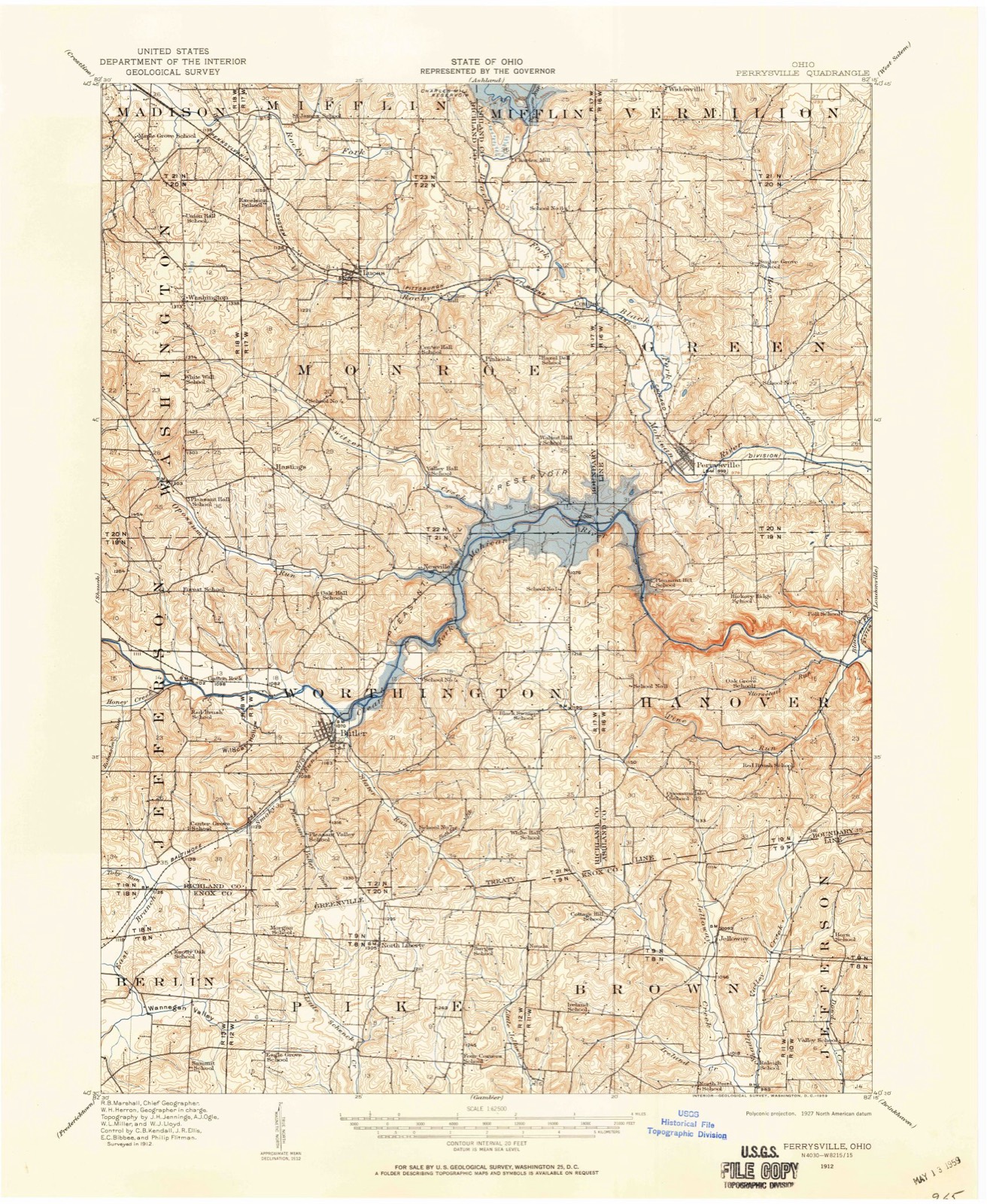
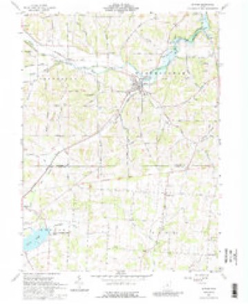
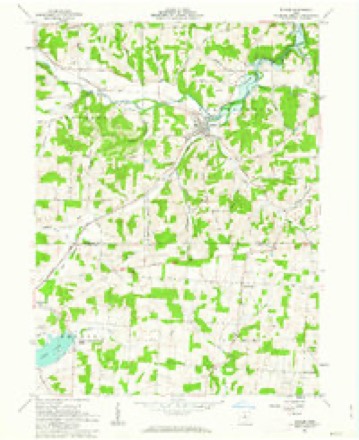
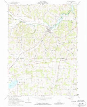
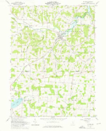
14 topographic sheets cover this place, the earliest surveyed in 1912 and the latest in 1994. It stands in Pike Township. It lies in ZIP code area 44822. The Survey maps it on the Butler quadrangle.
Then and now
1912 to 1994The same ground, surveyed 82 years apart. Drag the handle to wipe between them. Both sheets are United States Geological Survey originals; neither has been altered.

Compare 1912 against another survey:
Topographic sheets covering this place
14 sheetsMatched by testing this settlement's coordinate against the published boundary of every sheet in the United States Geological Survey's historical collection. Each opens the scanned sheet at the Survey.
- 1912 USGS Perrysville quadrangle1:62500
- 1915 USGS Perrysville quadrangle1:62500
- 1944 USGS Perrysville quadrangle1:62500
- 1950 USGS Marion quadrangle1:250000
- 1961 USGS Butler quadrangle1:24000
- 1961 USGS Butler quadrangle1:24000
- 1961 USGS Butler quadrangle1:24000
- 1961 USGS Butler quadrangle1:24000
- 1962 USGS Marion quadrangle1:250000
- 1966 USGS Marion quadrangle1:250000
- 1966 USGS Marion quadrangle1:250000
- 1966 USGS Marion quadrangle1:250000
- 1986 USGS Mansfield quadrangle1:100000
- 1994 USGS Mansfield quadrangle1:100000







In the county-history sources
309,842 words on this townshipA History of Knox County, Ohio, from 1779 to 1862 Inclusive; Comprising Biographical Sketches, Anecdotes .., published 1862; History Knox County, Ohio, published 1881 names this settlement in its chapter on Pike Township. These are the passages that mention it, exactly as the scans read.
William, son of Nathaniel, married Elizabeth Troutman, of Somerset co,. Pa., and begat 13 children. Charles, Reuben, Sam., Hiram, Enoch, who married Maria Dixon ; Jesse, Mary Horton; Dr. S. T., Mary Porter, of Allegheny co., Md. ; William Jackson is dead ; Lucinda married Lewis Lybarger; Matilda married John Cassel ; Delilah married Dr. Mast, and Catharine is at home. Hiram and Jesse are dead.
Passage source: A History of Knox County, Ohio, from 1779 to 1862 Inclusive; Comprising Biographical Sketches, Anecdotes .., published 1862.
The elections have generally been held at the school-house near the centre of the township, but about 1840 the polls were changed to the Six Corners, and vibrated between the two places for some time. Finally the present location, school-house No. 4, was settled upon.
Passage source: History Knox County, Ohio, published 1881.
The first grist-mill in Pike township was built by John Arnold in 1831, or Schenck's creek, on the southwest quarter of section No. 8 It was a small mill, containing but one run of buhrs, but did a good business for one of its size, grinding sometimes one hundred bushels in the course of twenty-four hours. It continued in operation till about 1851. The next grist-mill was built by a man by the name of Hillis, who erected a small mill on the northwest quarter of section No. 23, He sold out to James Stephens. Stephens sold to Benjamin Spry, who sold to John Walkey in 1836. Mr. Walkey put in two run of buhrs, and operated the mill until 1874.
Passage source: History Knox County, Ohio, published 1881.
Machine-read from a century-old scan, so expect the errors a machine makes: misspelled names, dropped words, stray characters.
Read the whole chapter on Pike Township - it names this place 69 more 69 times.
Fires near this place
6 since 2004Regional context, not property-specific evidence. The federal wildfire occurrence database lists 6 fires within 5 miles of North Liberty between 2004 and 2020, burning about 4 acres in total. 1 started naturally. 3 were recorded as arson. Distance is straight-line from the map coordinates, so a fire counted here may appear on a neighbouring settlement's page as well.
| Reported cause | Fires |
|---|---|
| Arson/incendiarism | 3 |
| Debris and open burning | 2 |
| Natural | 1 |
The most recent of them, most recent first, with the day each was reported and the service that recorded it.
| Date | Cause | Size | Reported by | Name on the report |
|---|---|---|---|---|
| 21 April 2017 | Arson/incendiarism | 1.2 acres | Ohio Department of Natural Resources | 7966 |
| 13 April 2018 | Natural | under an acre | Ohio Department of Natural Resources | 14465 |
| 8 March 2020 | Debris and open burning | 2.0 acres | Ohio Department of Natural Resources | 15442 |
| 2 March 2004 | Debris and open burning | under an acre | Ohio Department of Natural Resources | not named |
| 2 December 2019 | Arson/incendiarism | under an acre | Ohio Department of Natural Resources | 15364 |
| 17 November 2019 | Arson/incendiarism | under an acre | Ohio Department of Natural Resources | 15335 |
Settlements close enough to share some of these fires:
Specimens collected near this place
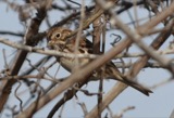
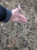
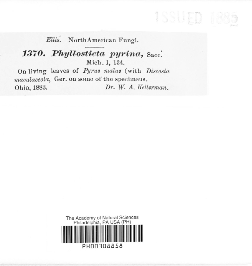
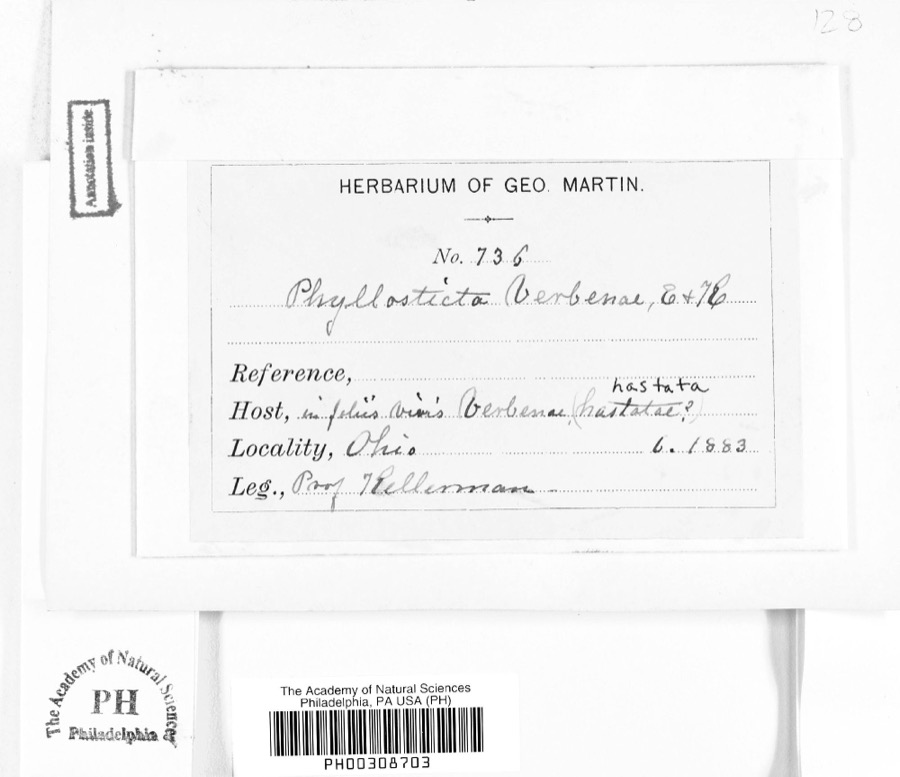
12 of 221 shownRegional context, not property-specific evidence. Museums hold 221 specimens collected within 10 miles of North Liberty between 1837 and 1974: 193 Animalia, 20 Fungi, 7 Plantae, 1 Protozoa. 12 distinct Species records are shown. Collected by A. Hall, A. P. Morgan, Andriessen, H. and others. Each is a physical object with a catalogue number, and each entry opens the museum's record. This is what was collected and kept, not a survey of what lives here - nothing can be concluded from a species being absent.
| Image | Species | Year | Collected by | Where, as recorded |
|---|---|---|---|---|
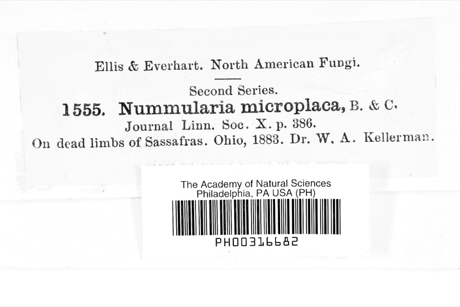 | Nummularia microplaca (Berk. & M.A.Curtis) Cooke | 1883 | Dr. W.A. Kellerman | |
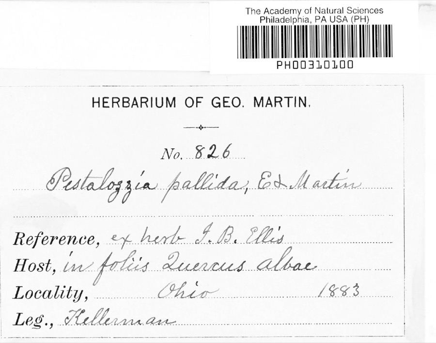 | Pestalotia De Not., 1841 | 1883 | W. A. Kellermann | No locality on label |
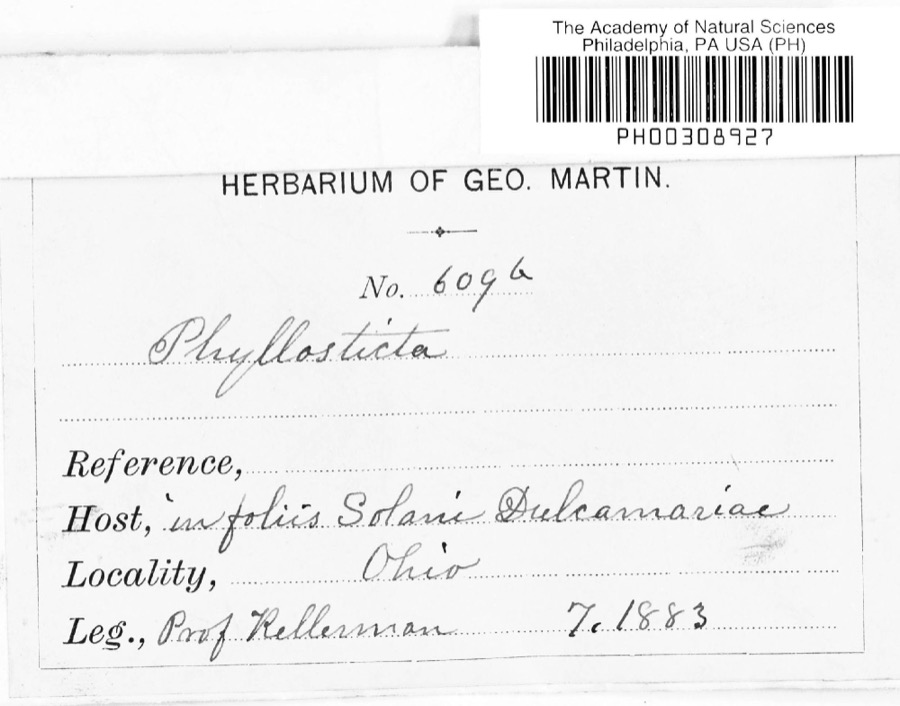 | Phyllosticta Pers., 1818 | 1883 | Kellerman | |
 | Notophthalmus viridescens (Rafinesque, 1820) | 1837 | Müller | Ohio |
 | Pooecetes gramineus (J.F.Gmelin, 1789) | 1863 | Turati (comte), Ercole | |
 | Delphinium exaltatum Aiton | 1877 | E Sheets | |
 | Hydrastis canadensis L. | 1877 | E Sheets | |
 | Lobelia inflata L. | 1881 | Andriessen, H. | near Fredericktown, OH |
 | Phyllosticta pyrina Sacc. | 1883 | W. A. Kellerman | |
 | Phyllosticta verbenae Sacc., 1879 | 1883 | Prof. Kellerman | |
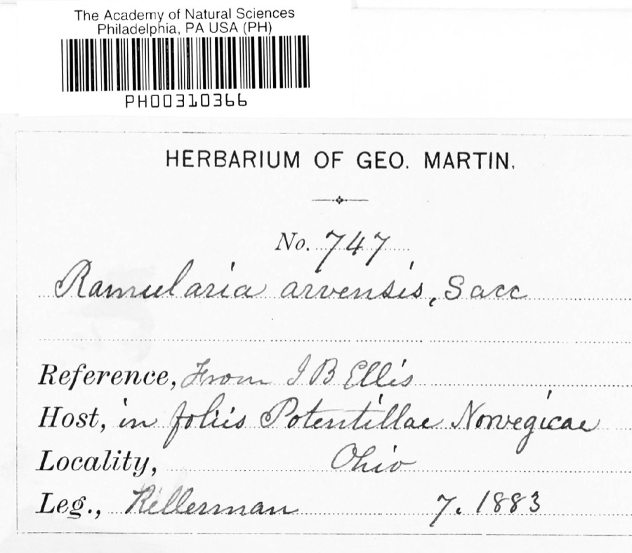 | Ramularia arvensis Sacc. | 1883 | Kellerman | |
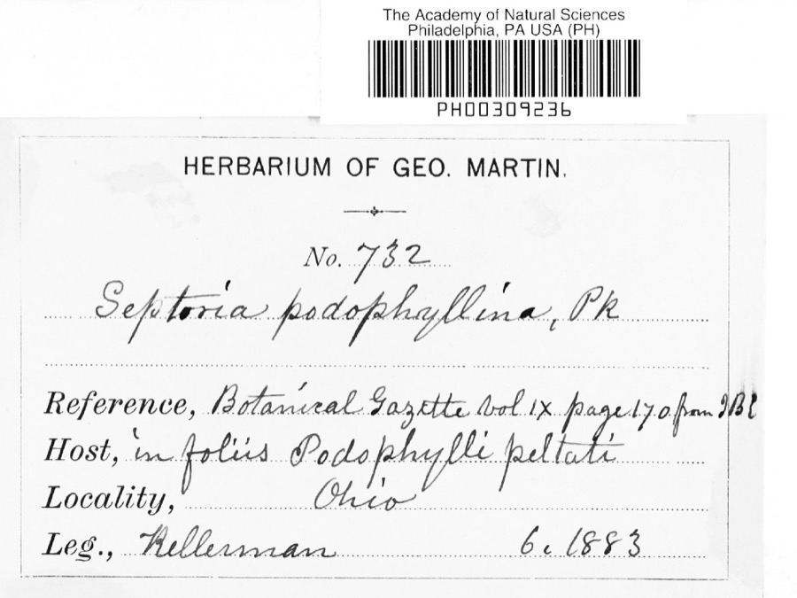 | Septoria E.M.Fries, 1819 | 1883 | Kellerman |
All 221 specimens within 10 miles, at the Global Biodiversity Information Facility.
Storms near this place
2 since 2025Regional context, not property-specific evidence. The National Weather Service names North Liberty in 2 storm reports between 2025 and 2026: 2 hail. No death or injury is recorded in these reports. Each account below is quoted exactly as the forecast office filed it, from the NOAA Storm Events Database, and each date opens the federal record of that event.
| When | Event | Place named | Harm | What the report says |
|---|---|---|---|---|
| March 2026 | Hail | North Liberty | - | Hail up to quarter-size in North Liberty. |
| May 2025 | Hail | North Liberty | - | Hail up to half dollar-size along Treaty Road, about one-mile NNW of North Liberty. |
Nearest settlements
The eight closest, with where each one stands in the county. Distances are straight-line, computed from the Geographic Names Information System coordinates.
| Map | Place | Distance | Sheets |
|---|---|---|---|
| Berger | 1.6 miles | 14 | |
| Four Corners | 2.5 miles | 14 | |
| Nunda | 2.6 miles | 13 | |
| College Hill | 3.9 miles | 13 | |
| Pleasant Valley (historical) | 4.4 miles | 12 | |
| Amity | 4.9 miles | 13 | |
| Ankenytown | 5.1 miles | 12 | |
| Jelloway | 5.7 miles | 13 |
Provenance
This settlement is recorded in the Geographic Names Information System as feature 1043958. The sheet list is computed by point-in-boundary test against the United States Geological Survey's historical topographic inventory. Both are works of the United States government and carry no copyright under 17 U.S.C. 105.
Wildfire. Short, Karen C. 2022. Spatial wildfire occurrence data for the United States, 1992-2020 [FPA_FOD_20221014]. 6th Edition. Fort Collins, CO: Forest Service Research Data Archive. https://doi.org/10.2737/RDS-2013-0009.6 Collected with United States Government funding and usable without additional permissions or fees.
Specimens. Global Biodiversity Information Facility (GBIF), https://www.gbif.org/. Only records licensed CC0 or CC BY are used. Records licensed CC BY-NC are excluded because this site carries advertising. Images are checked individually and any whose licence is non-commercial, no-derivatives or unreadable is refused.
Storms. NOAA National Centers for Environmental Information, Storm Events Database https://www.ncei.noaa.gov/stormevents/ A work of the United States government, no copyright under 17 U.S.C. 105. Narratives are quoted verbatim from the National Weather Service report and are not edited or summarised.