 Block
Block
Oak Harbor, Ohio
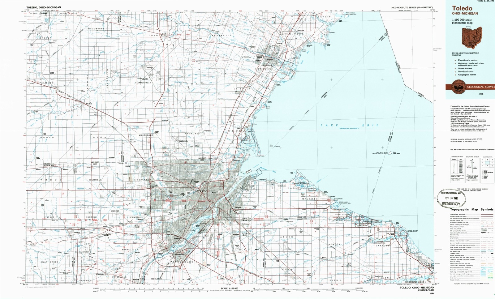
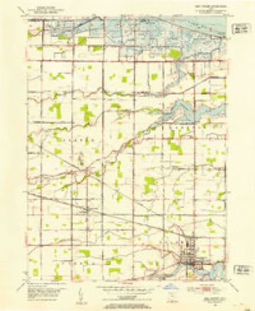
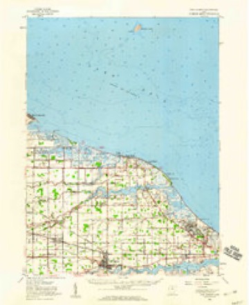
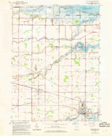
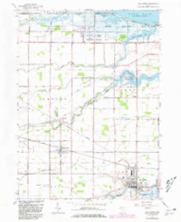
13 topographic sheets cover this place, the earliest surveyed in 1900 and the latest in 1986. It stands in Salem Township. It lies in ZIP code area 43449. It stands on Wolf Creek. The Survey maps it on the Oak Harbor quadrangle. 2,821 people lived here at the 2020 count. It stands 581 feet above sea level.
Research this city
This curated hub for Ottawa County, Ohio brings together the page's documented record links, visible map or image evidence where published, and routes to related local records.
What is documented here?
Use the page's provenance and linked records to distinguish the source material from the site's navigation and summaries.
How should I cite it?
Open the original record, preserve its repository and identifier, then use the citation tool for this page as a path back to the source.
Where should I go next?
Follow the county or state hub for related places and records, then use the guide for a source-aware research sequence.
Population over time
2 figuresOak Harbor grew from 2,759 to 2,821 between 2010 and 2020. These are the recorded population figures Wikidata holds for this place, reached through the Geographic Names Information System number this page is keyed on rather than by name, so they belong to this place and not to another of the same name. Most are census counts, but not all are: an early figure may be a founding or settlement estimate. The change column is computed, and is left blank where more than 20 years separate a figure from the one before it, because a gap that long is not a change between two counts.
| Year | People | Change |
|---|---|---|
| 2010 | 2,759 | |
| 2020 | 2,821 | +62 (+2%) |
Then and now
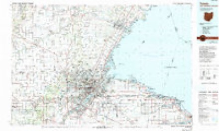
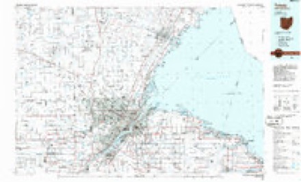
1900 to 1986The same ground, surveyed 86 years apart. Drag the handle to wipe between them. Both sheets are United States Geological Survey originals; neither has been altered.
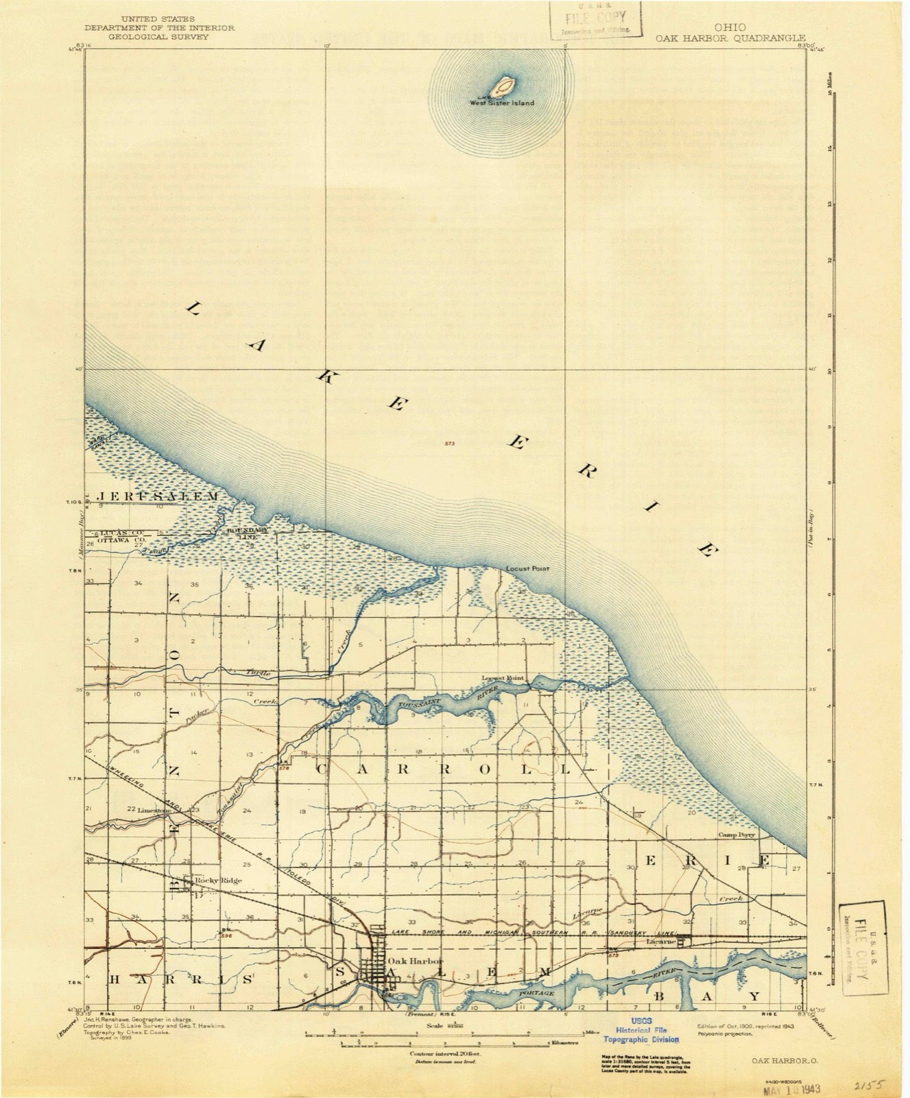
Topographic sheets covering this place
13 sheetsMatched by testing this settlement's coordinate against the published boundary of every sheet in the United States Geological Survey's historical collection. Each opens the scanned sheet at the Survey.
- 1900 USGS Oak Harbor quadrangle1:62500
- 1900 USGS Oak Harbor quadrangle1:62500
- 1952 USGS Oak Harbor quadrangle1:24000
- 1952 USGS Oak Harbor quadrangle1:62500
- 1956 USGS Toledo quadrangle1:250000
- 1956 USGS Toledo quadrangle1:250000
- 1956 USGS Toledo quadrangle1:250000
- 1956 USGS Toledo quadrangle1:250000
- 1961 USGS Toledo quadrangle1:250000
- 1967 USGS Oak Harbor quadrangle1:24000
- 1967 USGS Oak Harbor quadrangle1:24000
- 1986 USGS Toledo quadrangle1:100000
- 1986 USGS Toledo quadrangle1:100000





Fires nearby
1 since 2013The federal wildfire occurrence database lists 1 fire within 5 miles of Oak Harbor between 2013 and 2013, burning about 10 acres in total. None started naturally. None was recorded as arson. Distance is straight-line from the map coordinates, so a fire counted here may appear on a neighbouring settlement's page as well.
| Reported cause | Fires |
|---|---|
| Missing data/not specified/undetermined | 1 |
The most recent of them, most recent first, with the day each was reported and the service that recorded it.
| Date | Cause | Size | Reported by | Name on the report |
|---|---|---|---|---|
| 1 April 2013 | Missing data/not specified/undetermined | 10 acres | Ottawa National Wildlife Refuge | BURMIESTER FIRE |
Settlements close enough to share some of these fires:
Specimens collected nearby
12 of 2,679 shownMuseums hold 2,679 specimens collected within 10 miles of Oak Harbor between 1825 and 1975: 2,649 Animalia, 23 Plantae, 6 Fungi, 1 Chromista. 12 distinct Species records are shown. Collected by A. Woolman, Albiet, P., Anderson, J. (John) and others. Each is a physical object with a catalogue number, and each entry opens the museum's record. This is what was collected and kept, not a survey of what lives here - nothing can be concluded from a species being absent.
| Image | Species | Year | Collected by | Where, as recorded |
|---|---|---|---|---|
 | Hygroamblystegium tenax (Hedw.) Jenn. | 1825 | T. Drummond | Banks of the Portage River |
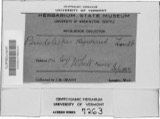 | Pseudoleskea rigescens Lindb. | 1828 | Thomas Drummond | Banks of the Portage River |
 | Hydroprogne caspia (Pallas, 1770) | 1865 | Trautman, M. B. (Milton Bernard) | Winous Pt., Bay Twp, Ottawa, Ohio, USA |
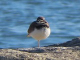 | Charadrius vociferus Linnaeus, 1758 | 1879 | not recorded | |
 | Agelaius phoeniceus (Linnaeus, 1766) | 1880 | Porter, J.B. | |
 | Riparia riparia (Linnaeus, 1758) | 1880 | Porter collection, J.B. | |
 | Tachycineta bicolor (Vieillot, 1808) | 1880 | Porter collection, J.B. | |
 | Lepomis macrochirus Rafinesque, 1819 | 1894 | C. Rutter | Portage River, Oak Harbor, Ohio |
 | Moxostoma erythrurum (Rafinesque, 1818) | 1894 | C. Rutter | Portage River, Oak Harbor, Ohio |
 | Notemigonus crysoleucas (Mitchill, 1814) | 1894 | C. Rutter | Portage River, Oak Harbor, Ohio |
| Cerastium velutinum var. velutinum | 1895 | Collector(s): Edwin Lincoln Moseley | Lakeside Marblehead [Peninsula], Hartshorn's Dock | |
 | Myosotis verna Nutt. | 1895 | E. L. Moseley |
All 2,679 specimens within 10 miles, at the Global Biodiversity Information Facility.
Storms nearby
60 of 76 shownThe National Weather Service names Oak Harbor in 76 storm reports between 1995 and 2025: 36 thunderstorm wind, 33 hail, 3 flash flood, 2 tornado. No death or injury is recorded in these reports. Each account below is quoted exactly as the forecast office filed it, from the NOAA Storm Events Database, and each date opens the federal record of that event.
| When | Event | Place named | Harm | What the report says |
|---|---|---|---|---|
| June 2018 | Flash Flood | Oak Harbor | $1,250,000 | Three rounds of torrential rain moved across Ottawa County on the evening of June 12th between 8 pm and midnight. The heaviest rain occurred around 1030 pm with rainfall rates estimated at over 5 inches per hour lasting for 45 minutes. Unofficial rain gauges in the area reported storm total rainfall amounts of 5 to 6 inches between Oak Harbor and Port Clinton, with one cocorahs station reporting 5.50 inches over Port Clinton. A rain gauge in Catawba Island reported as much as 8 inches, though this cannot be verified. Though a lakeside and relatively flat terrain the area is flood prone. Flooding was notable in this event due the intensity of the rainfall which overwhelmed storm drainage systems. The Portage River, which flows through Ottawa County to its mouth at Sandusky Bay, was elevated but did not flood. Lake Erie, another source for storm water output, was elevated at the time of the rainfall contributing to poor storm drainage. |Local officials declared a State of Emergency for Port Clinton and Oak Harbor due to extensive flooding. The primary impacts were widespread basement flooding and road closures. Hardest hit in Port Clinton were Madison, Lee, Taft, and Columbia Streets. Flood waters reached the front doors of many homes as neighborhood storm drains were overwhelmed. At least one basement wall collapsed. Following a CERT survey, there were at least 6 homes with major damage, 51 with minor damage, and 134 affected. The area hospital flooded with 2-3 inches in the lobby, gift shop, and radiology department, along with the south parking lot. In Port Clinton alone up to 35 roads were either closed or had reports of high water between 2 and 3 feet deep. In Oak Harbor Ohio 19 between Ohio 163 and Ottawa Street was flooded. The primary impacts in Oak Harbor was flooded basements. Total damages estimated around $1.25 M. |
| June 2020 | Thunderstorm Wind | Oak Harbor | $150,000 | Ottawa County Emergency Management, Sheriff Dispatch, and several trained spotters reported widespread wind damage across Ottawa County. Tree damage and downed power poles and lines were reported in Oak Harbor, Port Clinton, Catawba Island, and Marblehead in the mainland portions of the county. Several of the downed trees were quite large, as much as three and a half feet in diameter, and several were reported to be snapped. Outside of a few trees falling onto structures, some homes reported wind damage with a roof removed from a garage and others having miscellaneous roof and shingle damage. An automated wind sensor at Carl R Keller Field reported a 60 mph wind gust during the event. Power outages in the area lasted several days. |
| August 2010 | Thunderstorm Wind | Oak Harbor | $70,000 | Thunderstorm winds uprooted a tree measuring four feet in diameter and 70 feet in height. The tree fell onto a house and caused moderate damage. |
| August 2010 | Thunderstorm Wind | Oak Harbor | $50,000 | Thunderstorm winds downed numerous large trees and power lines. Two trees measuring four feet in diameter and thirty feet tall were uprooted. A vehicle was damaged by one of the trees. |
| July 1998 | Thunderstorm Wind | Oak Harbor | $50,000 | A barn and trees were downed in Salem Township, south of Oak Harbor. |
| June 2025 | Tornado (EF0) | Oak Harbor | $49,000 | An EF0 tornado with estimated peak winds of 70-mph impacted the Rocky Ridge area and moved east-northeastward during its lifespan. This tornado began west of Toussaint Portage Road and produced minor tree damage, including one tree downed onto a house. Another home on Toussaint Portage Road sustained minor roof and facade damage, and had a window shattered. As the tornado continued to move east-northeastward, it downed additional tree branches along Genzman Road and then removed a portion of a small barn's roof before the tornado dissipated. |
| July 2011 | Thunderstorm Wind | Oak Harbor | $40,000 | Thunderstorm winds downed a large tree and several limbs at the Ottawa County Fairgrounds. Some tents at the fair were also blown down. A couple concession trailers were damaged as well. |
| August 2022 | Thunderstorm Wind | Oak Harbor | $20,000 | Multiple trees and power poles downed, and a shed was damaged in Oak Harbor. |
| March 2017 | Thunderstorm Wind | Oak Harbor | $15,000 | Thunderstorm winds downed a utility pole near State Route 19. |
| August 2010 | Thunderstorm Wind | Oak Harbor | $15,000 | Thunderstorm winds downed several large limbs. A railroad crossing bar was also snapped off by the high winds. |
| August 2010 | Thunderstorm Wind | Oak Harbor | $15,000 | Thunderstorm winds toppled a utility pole and a large tree. |
| June 2008 | Thunderstorm Wind | Oak Harbor | $15,000 | Utility poles and wires were reported down. |
| April 2003 | Thunderstorm Wind | Oak Harbor | $15,000 | Thunderstorm winds damaged a house near Oak Harbor. |
| August 2013 | Thunderstorm Wind | Oak Harbor | $10,000 | Law enforcement relayed a report of a large tree down on a road near Oak Harbor. A trained spotter reported a large 3 to 4 foot diameter tree down northeast of Genoa. A trained spotter also reported numerous 10-15 inch diameter tree limbs down in Elmore. |
| May 2019 | Thunderstorm Wind | Oak Harbor | $5,000 | Several power poles were blown down and a couple leaning along Benton-Carrol Road. |
| July 2016 | Thunderstorm Wind | Oak Harbor | $5,000 | Thunderstorm winds downed several large tree limbs across the city. |
| July 2011 | Thunderstorm Wind | Oak Harbor | $5,000 | Thunderstorm winds downed a few power poles in the area. |
| August 2002 | Thunderstorm Wind | Oak Harbor | $5,000 | Thunderstorm winds downed several large tree limbs. |
| July 2007 | Thunderstorm Wind | Oak Harbor | $3,000 | Several large limbs were reported down. |
| November 2014 | Thunderstorm Wind | Oak Harbor | $2,000 | Thunderstorm winds downed a few large tree limbs. |
| May 2010 | Thunderstorm Wind | Oak Harbor | $2,000 | Thunderstorm winds downed a large tree. |
| June 2009 | Thunderstorm Wind | Oak Harbor | $2,000 | Several large limbs were reported down. |
| June 2008 | Thunderstorm Wind | Oak Harbor | $2,000 | Several large limbs were reported down. |
| August 1995 | Thunderstorm Wind | Oak Harbor | $2,000 | Large limbs were downed. |
| May 2018 | Thunderstorm Wind | Oak Harbor | $1,000 | Thunderstorm wind gusts toppled a large pine tree west of Oak Harbor. |
| March 2011 | Hail | Oak Harbor | $1,000 | Pea sized hail was reported with this storm. |
| August 2010 | Thunderstorm Wind | Oak Harbor | $1,000 | A thunderstorm wind gust of 61 mph was measured. Thunderstorm winds downed small tree limbs at the time of the measured gust. |
| June 1998 | Thunderstorm Wind | Oak Harbor | $500 | A tree and a telephone pole were downed. |
| June 2023 | Hail | Oak Harbor | - | Hail up to quarter-size in Oak Harbor. |
| August 2021 | Thunderstorm Wind | Oak Harbor | - | Roof damage to home in Oak Harbor. Numerous shingles were torn off. |
| May 2020 | Thunderstorm Wind | Oak Harbor | - | A couple trees down and partially blocking roads in the Oak Harbor area. Time estimated via radar. |
| June 2019 | Flood | Oak Harbor | - | Storms with heavy rain moved into Ottawa County in the afternoon of June 5. Heavy thunderstorms moved into the area around 3 PM lasting for over an hour. By 4 PM over 2 inches of rain had fallen triggering flash flooding in the Oak Harbor area. Waters 3 inches above dump truck door. Oak Harbor on SR19 & Main. Storm drainage was less efficient than normal due to high lake levels at the time, exasperating flood impacts. |
| August 2019 | Thunderstorm Wind | Oak Harbor | - | There was a tree down near the intersection of Behlman and West Fick Roads. |
| December 2019 | Hail | Oak Harbor | - | Pea to nickel-size hail fell for about five minutes. |
| June 2015 | Hail | Oak Harbor | - | Penny sized hail was observed. |
| May 2015 | Thunderstorm Wind | Oak Harbor | - | Thunderstorm wind gusts were estimated to be at least 60 mph. |
| August 2013 | Hail | Oak Harbor | - | A trained weather spotter reported penny size hail and numerous power outages. |
| March 2012 | Hail | Oak Harbor | - | Nickel sized hail was observed. |
| March 2012 | Hail | Oak Harbor | - | Quarter sized hail was observed. |
| March 2012 | Hail | Oak Harbor | - | Nickel sized hail was observed. |
| June 2012 | Thunderstorm Wind | Oak Harbor | - | Thunderstorm winds downed a few large tree limbs. |
| August 2012 | Thunderstorm Wind | Oak Harbor | - | Trained spotter estimated a 60 mph wind. |
| July 2012 | Hail | Oak Harbor | - | Quarter sized hail was observed. |
| July 2012 | Hail | Oak Harbor | - | Nickel sized hail was observed. |
| July 2012 | Hail | Oak Harbor | - | Quarter to half dollar sized hail was observed. |
| August 2011 | Hail | Oak Harbor | - | Penny sized hail was observed. |
| May 2011 | Thunderstorm Wind | Oak Harbor | - | Thunderstorms produced an estimated wind gust of 65mph. |
| September 2011 | Flood | Oak Harbor | - | An official NWS observer reported 2.3 of rain in Oak Harbor in a matter of a few hours. This rainfall over already saturated ground resulted in widespread minor flooding. Several roads in downtown Oak Harbor were flooded with high water up to a foot deep. |
| May 2010 | Hail | Oak Harbor | - | Nickel to quarter size hail was observed. |
| July 2009 | Hail | Oak Harbor | - | Penny size hail was observed. |
| June 2008 | Hail | Oak Harbor | - | Penny size hail was observed. |
| February 2008 | Hail | Oak Harbor | - | Penny size hail was observed. |
| June 2008 | Thunderstorm Wind | Oak Harbor | - | A trained spotter estimated thunderstorm wind gusts to be 60 mph. No damage was immediately noted during the wind gusts. |
| March 2007 | Hail | Oak Harbor | - | Nickel size hail was observed. |
| May 2007 | Hail | Oak Harbor | - | Penny size hail was observed. |
| June 2006 | Hail | Oak Harbor | - | Penny size hail was observed. |
| June 2006 | Hail | Oak Harbor | - | Penny size hail was observed. |
| May 2006 | Hail | Oak Harbor | - | Penny size hail was observed. |
| June 2006 | Hail | Oak Harbor | - | Penny size hail was observed. |
| May 2005 | Hail | Oak Harbor | - | Quarter size hail was observed. |
Nearest settlements
The eight closest, with where each one stands in the county. Distances are straight-line, computed from the Geographic Names Information System coordinates.
| Map | Place | Distance | Sheets |
|---|---|---|---|
| Rocky Ridge | 3.9 miles | 13 | |
| Limestone | 4.7 miles | 13 | |
| Lacarne | 5.6 miles | 14 | |
| Locust Point | 6.3 miles | 14 | |
| Maple Grove (historical) | 6.3 miles | 13 | |
| Graytown | 6.6 miles | 16 | |
| Sheldon (historical) | 7.0 miles | 16 | |
| Middleton (historical) | 7.2 miles | 16 |
Elsewhere
Matched on this settlement's Geographic Names Information System number rather than its name, so it cannot be a different place of the same name in another state.
| Wikipedia article on Oak Harbor | An encyclopaedic summary. Its text is share-alike, so it is linked here rather than copied. |
| Wikidata item Q1816725 | The structured record the population and elevation above come from. Public domain (CC0). |
Provenance
This settlement is recorded in the Geographic Names Information System as feature 1065474. The sheet list is computed by point-in-boundary test against the United States Geological Survey's historical topographic inventory. Both are works of the United States government and carry no copyright under 17 U.S.C. 105.
Wildfire. Short, Karen C. 2022. Spatial wildfire occurrence data for the United States, 1992-2020 [FPA_FOD_20221014]. 6th Edition. Fort Collins, CO: Forest Service Research Data Archive. https://doi.org/10.2737/RDS-2013-0009.6 Collected with United States Government funding and usable without additional permissions or fees.
Specimens. Global Biodiversity Information Facility (GBIF), https://www.gbif.org/. Only records licensed CC0 or CC BY are used. Records licensed CC BY-NC are excluded because this site carries advertising. Images are checked individually and any whose licence is non-commercial, no-derivatives or unreadable is refused.
Storms. NOAA National Centers for Environmental Information, Storm Events Database https://www.ncei.noaa.gov/stormevents/ A work of the United States government, no copyright under 17 U.S.C. 105. Narratives are quoted verbatim from the National Weather Service report and are not edited or summarised.