BlockBefore
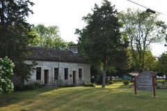
Decorative drawing: a county panorama. Not a photograph of this place.

Ottawa County, Ohio

72 topographic sheets and 39 fire insurance atlases across 6 places.

Research this county

This curated hub for Ottawa County, Ohio brings together the page's documented record links, visible map or image evidence where published, and routes to related local records.

What is documented here?

Use the page's provenance and linked records to distinguish the source material from the site's navigation and summaries.

How should I cite it?

Open the original record, preserve its repository and identifier, then use the citation tool for this page as a path back to the source.

Where should I go next?

Follow the county or state hub for related places and records, then use the guide for a source-aware research sequence.

From the record

21 National Register listings · 64 businesses named in the fire insurance atlases from 1893 to 1948 · the 1918 county history tells 0 stories and names 0 people.

Sources: the county history on the Internet Archive · the National Register database, National Park Service

Ohio within the United States
Ottawa County within Ohio
Explore by year 1860 1956

What the record shows

  • 6 places in this county were surveyed for fire insurance: Port Clinton, Elmore, Genoa, Oak Harbor, Lakeside, Put-In-Bay, between 1884 and 1959.
  • 39 fire insurance atlas(es) survive for the county. Topographic coverage is national; fire insurance survey reached only incorporated places with something worth insuring.
  • 520 topographic sheet readings cover the county's settlements.
  • 21 properties here are on the National Register of Historic Places, including 8 houses and farms.
  • 6 of the 21 listings were added during the 1970s.
  • The Geographic Names Information System records 37 populated places in this county; 0 are covered by at least one topographic sheet.
  • 2 public-domain county histories, 1887 and 1897, supply 0 words of narrative reproduced here in full.

Photographs

2 photographs,

Taken for the Office of War Information and the Farm Security Administration, who photographed the country between 1935 and 1944. Works of United States government photographers, with no known restriction on use. Each opens its catalogue record.

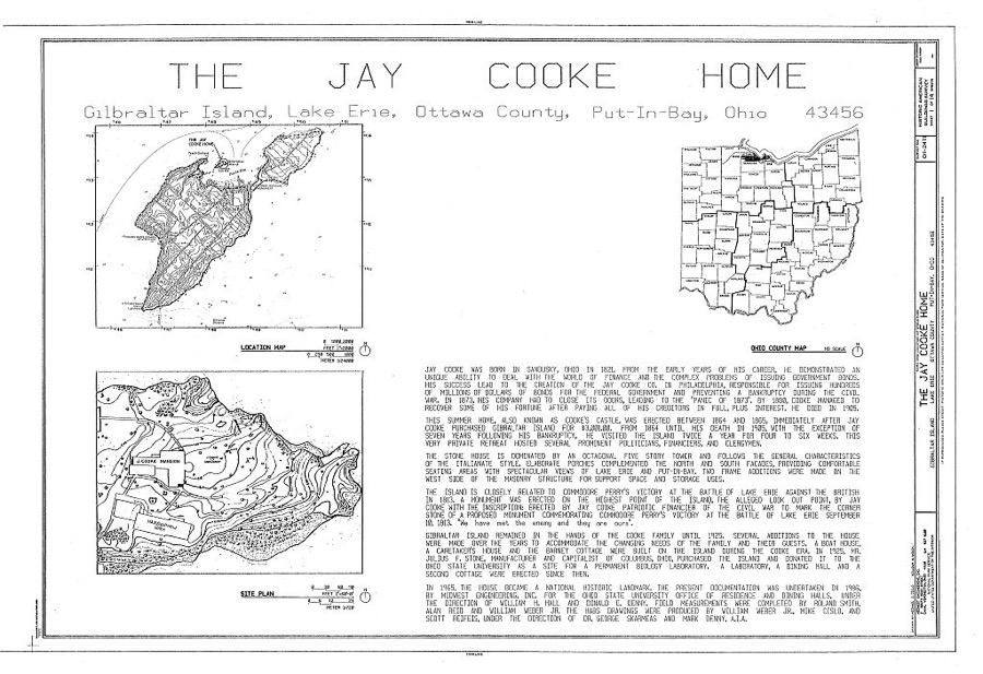
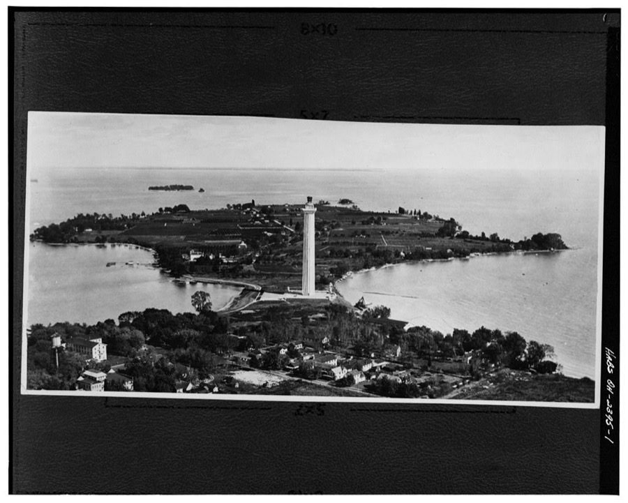
Jay Cooke Home, Gibraltar Island, Lake Erie, Put-in-Bay, Ottawa County, OH
Unattributed, . Library of Congress
Perry's Victory & International Peace Memorial, South Bass Island, Put-in-Bay, Ottawa County, OH
Unattributed, . Library of Congress

Places on the National Register

21

Every property in this county listed on the National Register of Historic Places, with the year it was listed and the federal nomination document.

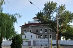
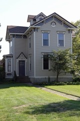
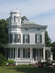
Photograph PropertyType ListedReference
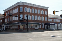
Andres, Charles, Housebuilding199595001196
Carroll Township Hallbuilding199090000385
Catawba Island Wine Companybuilding198383002019
Clemons, Alexander, Housebuilding198787001628
East Point Manordistrict199087000804
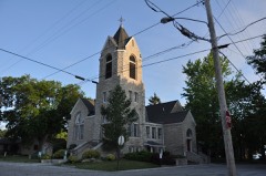
First Congregational Churchbuilding200000001161
Foster--Gram Housebuilding199292000175
Genoa Town Hallbuilding197676001504
Gill--Luchsinger--Bahnsen House and Barnbuilding199292000888
Inselruhebuilding197676001506
Island Housebuilding200808000623
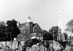
Marblehead Lighthousestructure196969000148
Mo-John, Betsy, Cabinbuilding197676001505
Ohio State Route 51 Bridge Over the Portage Riverstructure199494000239
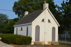
Old School Privybuilding197575001515
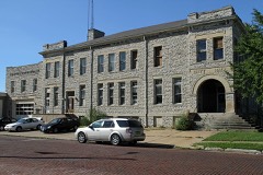
Ottawa County Courthousebuilding197474001588
Port Clinton City Hallbuilding200000000096
South Bass Island Lightstructure199090000473
St. Thomas Episcopal Churchbuilding199999000845
War Of 1812 Battle Sitestructure197272001038
Wolcott, Benajah, Housebuilding199191000251

Covered bridges

0

Ottawa County holds 0 covered bridges on the National Register, more than any other property type here. Each is a listed structure with a federal nomination on file.

Digitised newspapers

5 issues

Sampled issues, machine-read from the Library of Congress scan and published page by page, so every headline and column is searchable text.

Ottawa County News

Port Clinton, Ohio, 1931 to 1956. Machine-read from the Library of Congress scan.

Bird's-eye views and land ownership maps

3

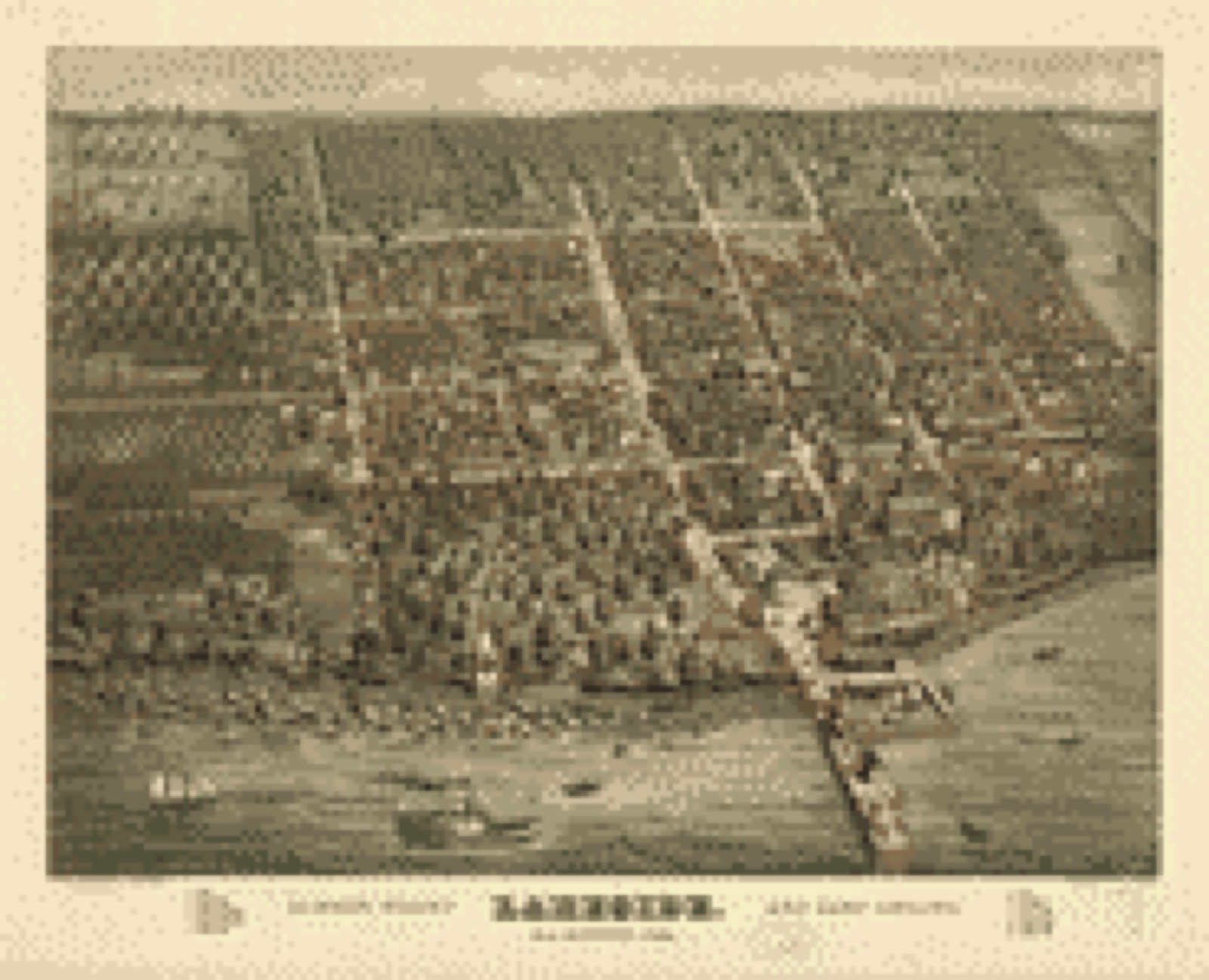
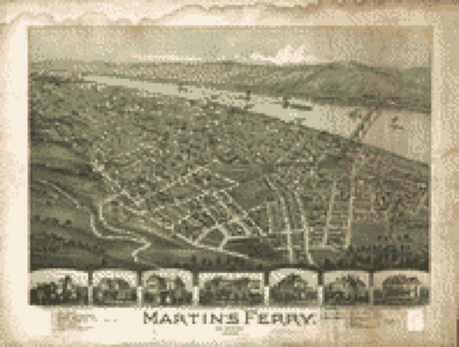
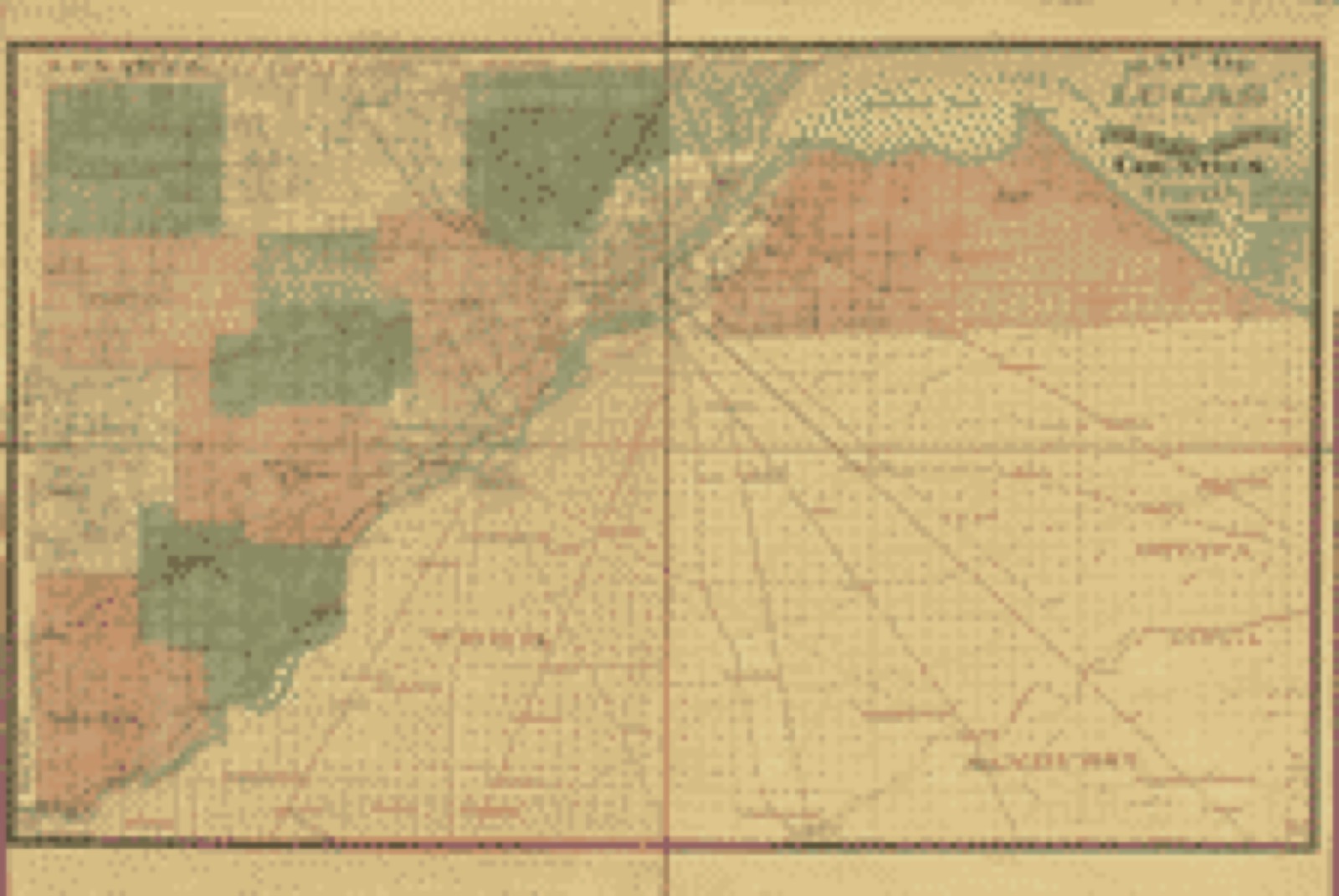
Drawn when these were printed as single large sheets: the town seen from the air, and the county divided into its farms with every owner named. Each opens the original at the Library of Congress.

Bird's-eye view, 1884 - Lakeside summer resort and camp ground, near Sandusky, Ohio
Bird's-eye view (1884) - Lakeside summer resort and camp ground, near Sandusky, Ohio. Library of Congress.
Bird's-eye view, 1899 - Martin's Ferry, Ohio 1899
Bird's-eye view (1899) - Martin's Ferry, Ohio 1899. Library of Congress.
Land ownership map, 1888 - Map of Lucas and parts of Wood, Ottawa and Sandusky Counties, Ohio
Land ownership map (1888) - Map of Lucas and parts of Wood, Ottawa and Sandusky Counties, Ohio. Library of Congress.

Photographs from libraries nationwide

2 of 3 shown

Selected from the Digital Public Library of America's 3 image records catalogued for this county. Every one shown here carries a public-domain status or a licence that permits reuse on a site that carries advertising; non-commercial, share-alike and restricted images are excluded. The selection is spread across the county's towns (at most eight per town), so no single institution's bulk upload crowds out the rest. Each opens the holding library's record, and the complete set at the Digital Public Library of America is one click away.

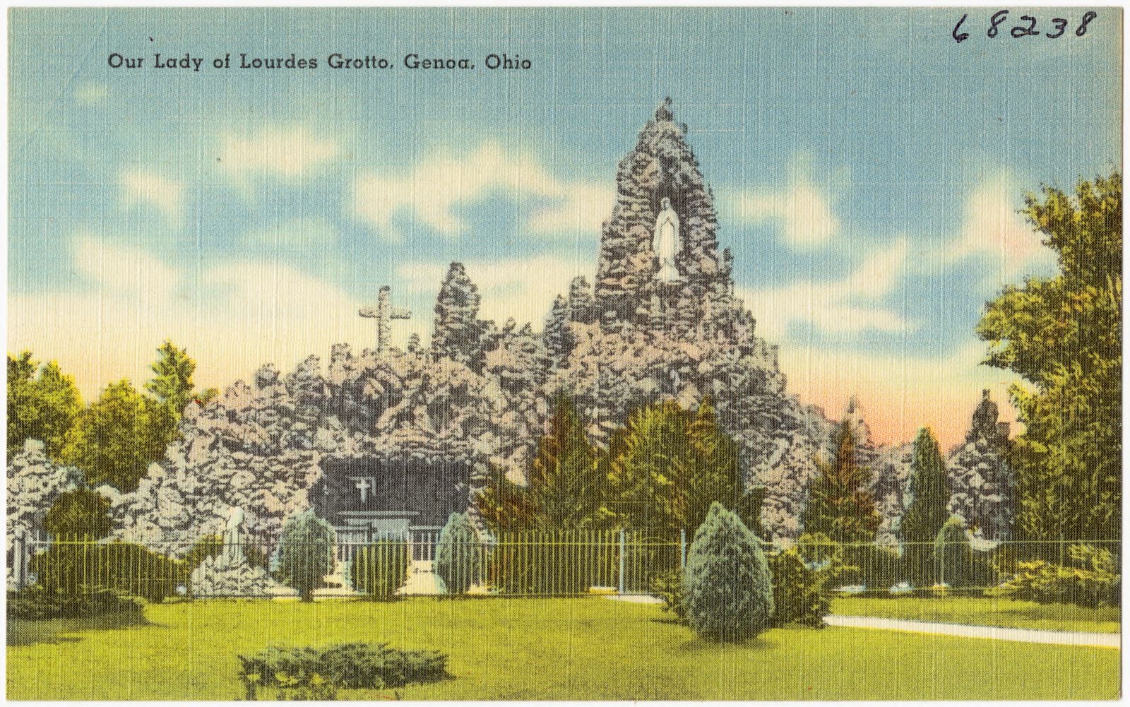
Our Lady of Lourdes Grotto, Genoa, Ohio, Boston Public Library - undated
Our Lady of Lourdes Grotto, Genoa, Ohio. Boston Public Library, via the Digital Public Library of America.
Cafeteria and table service, Jim's Place, Put-In-Bay. Ohio, Boston Public Library - undated
Cafeteria and table service, Jim's Place, Put-In-Bay. Ohio. Boston Public Library, via the Digital Public Library of America.

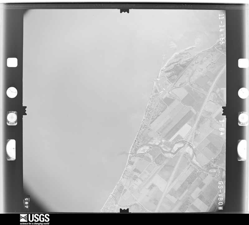
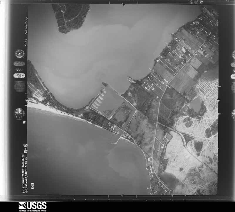
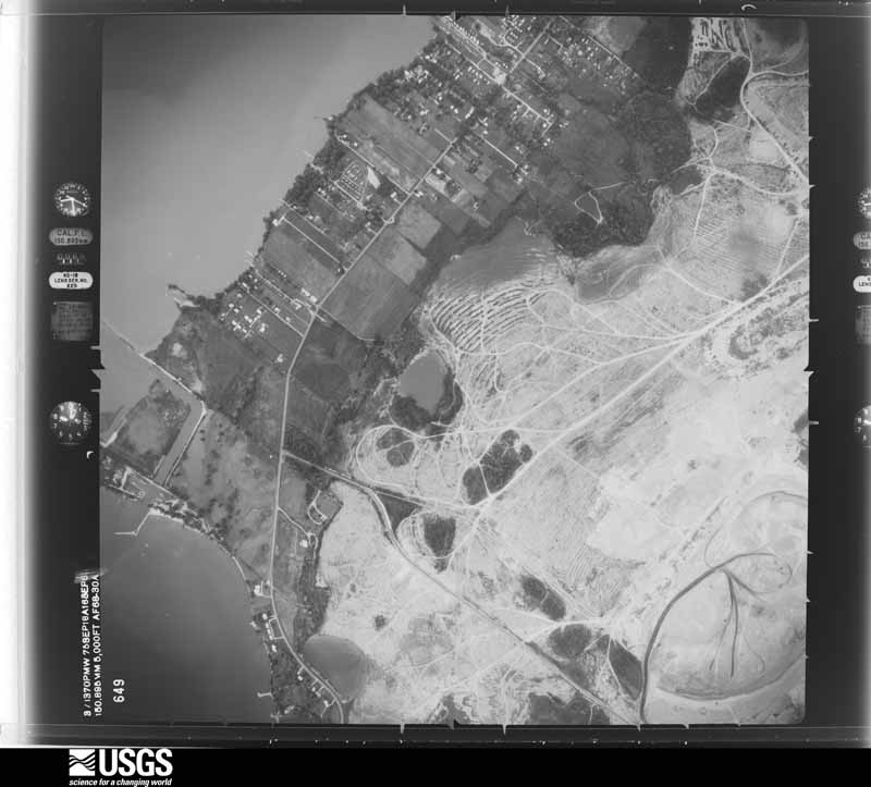
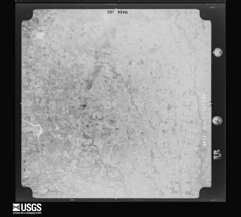
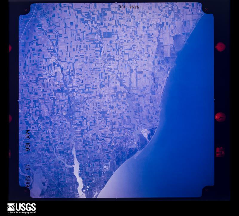
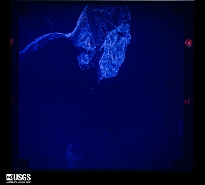
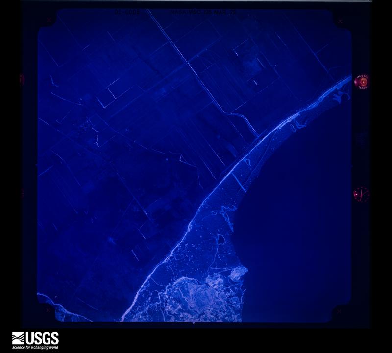
The county from the air

48 of 1,178 shown

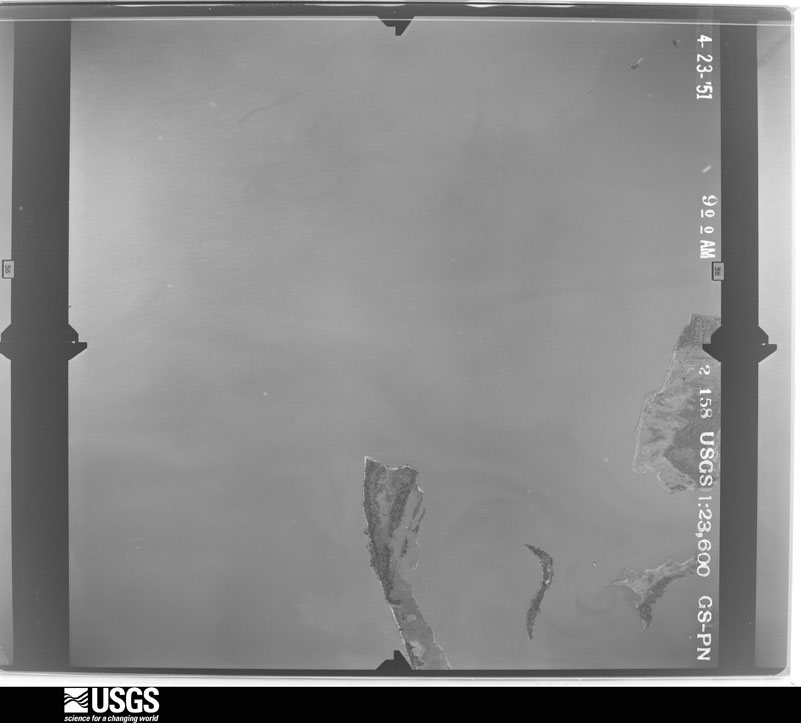
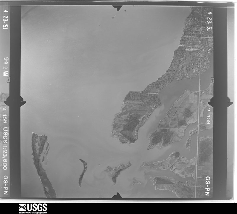
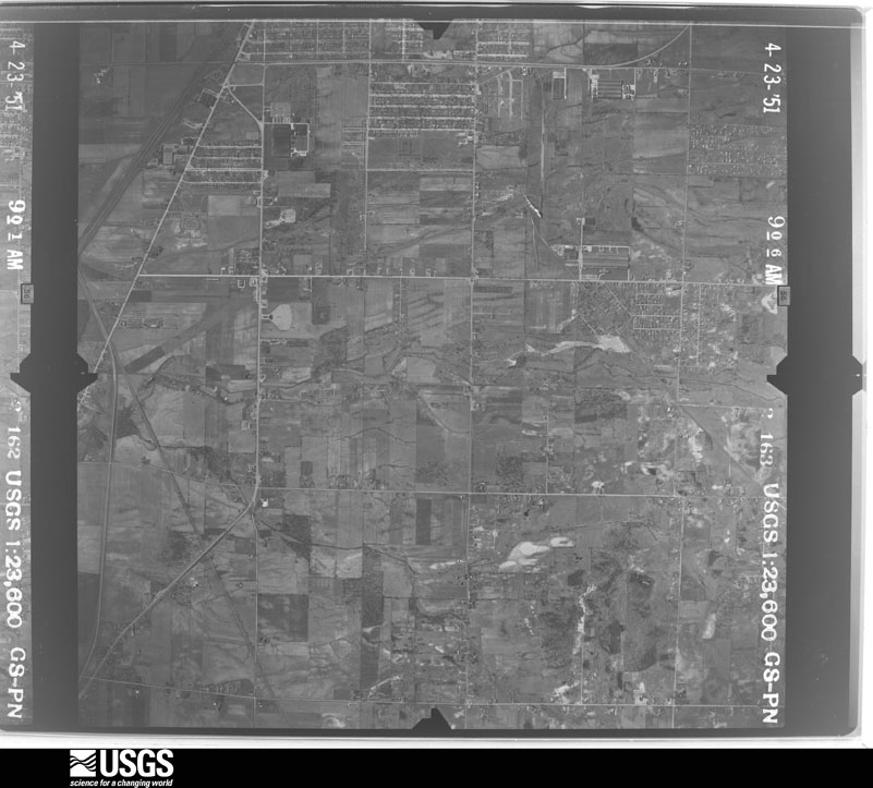
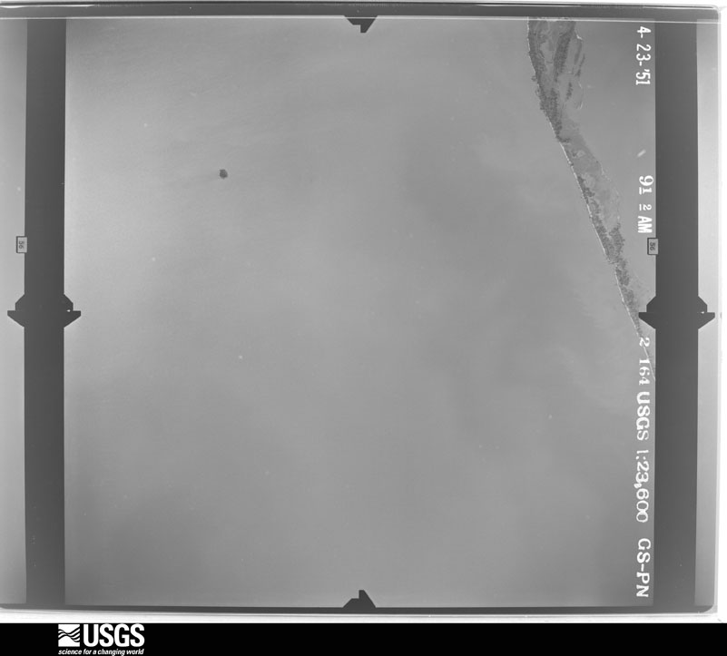
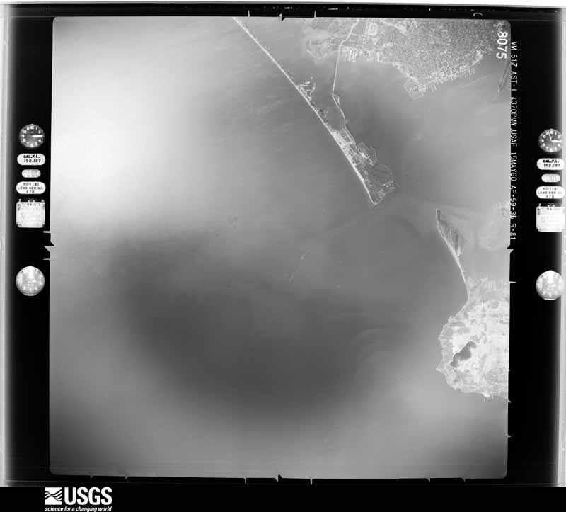
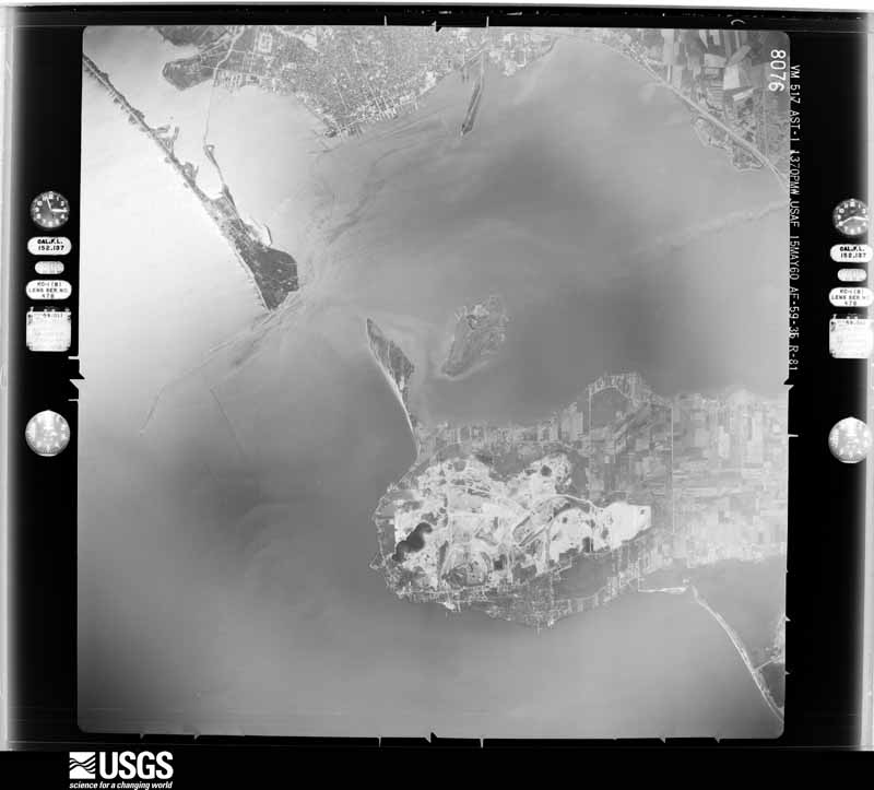
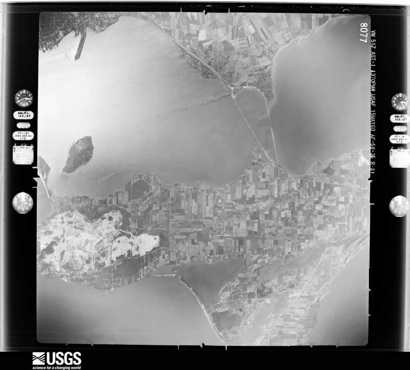
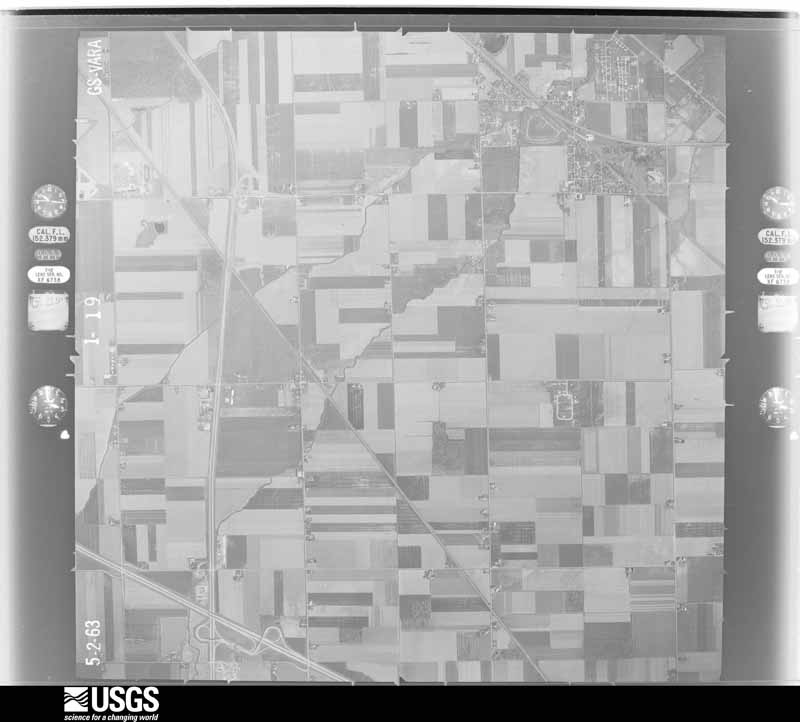
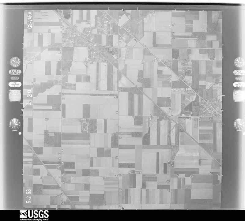
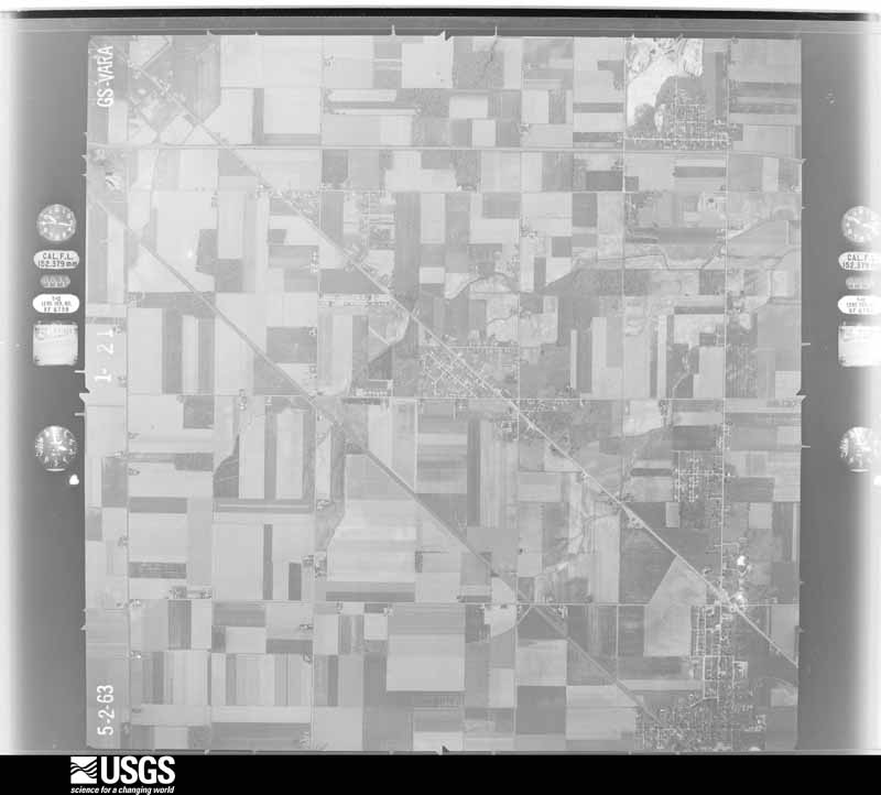
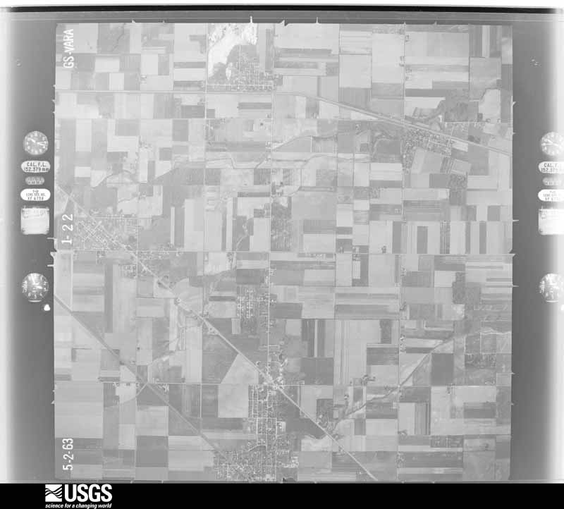
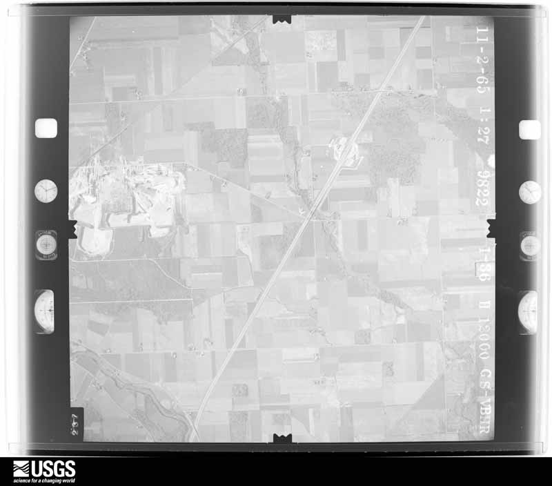
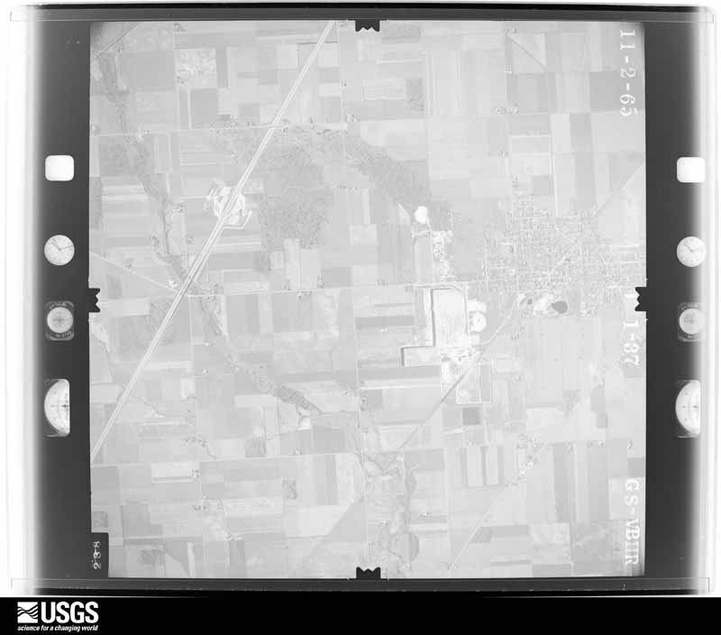
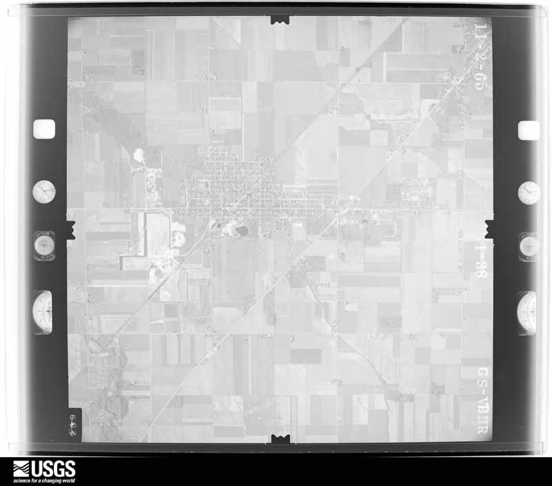
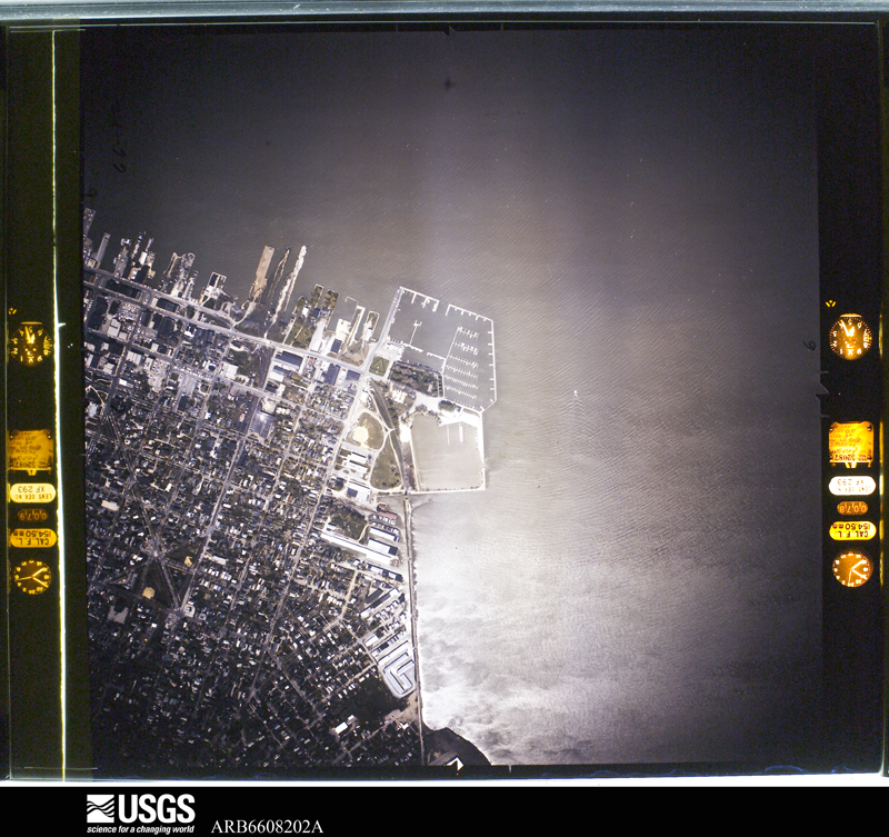
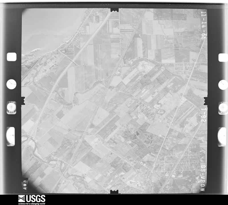
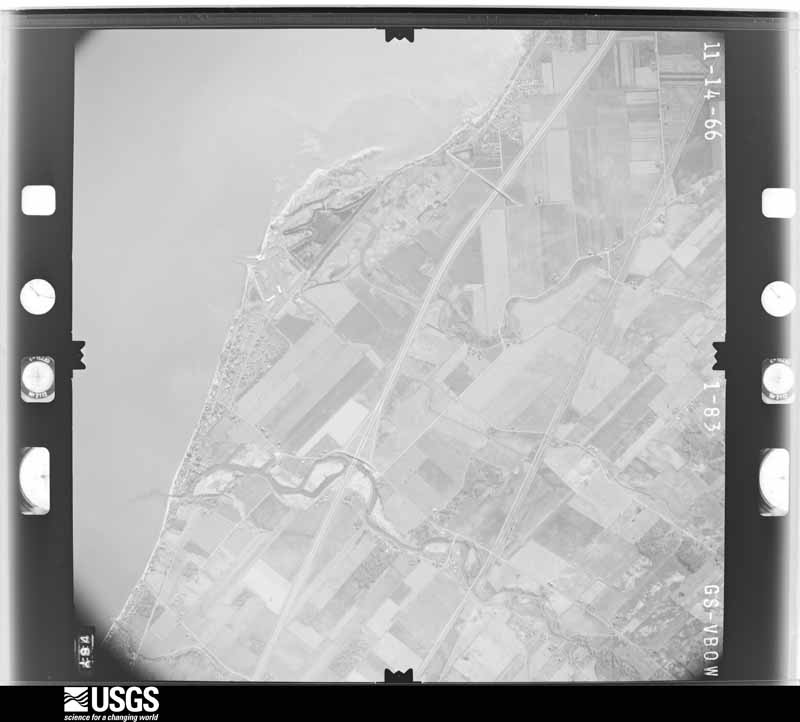
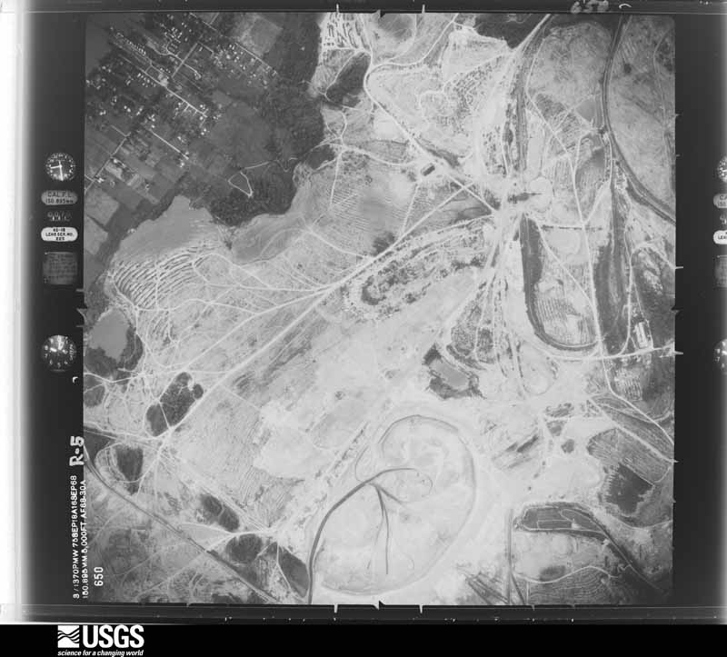
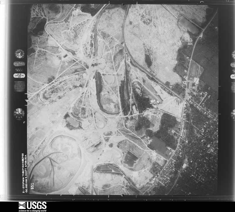
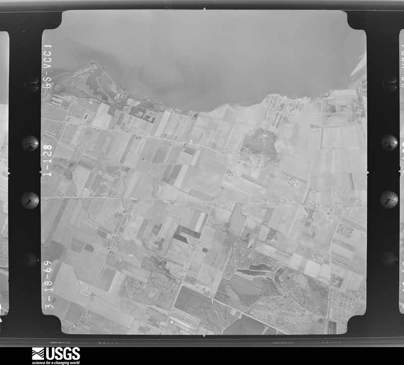
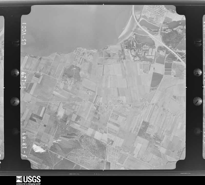
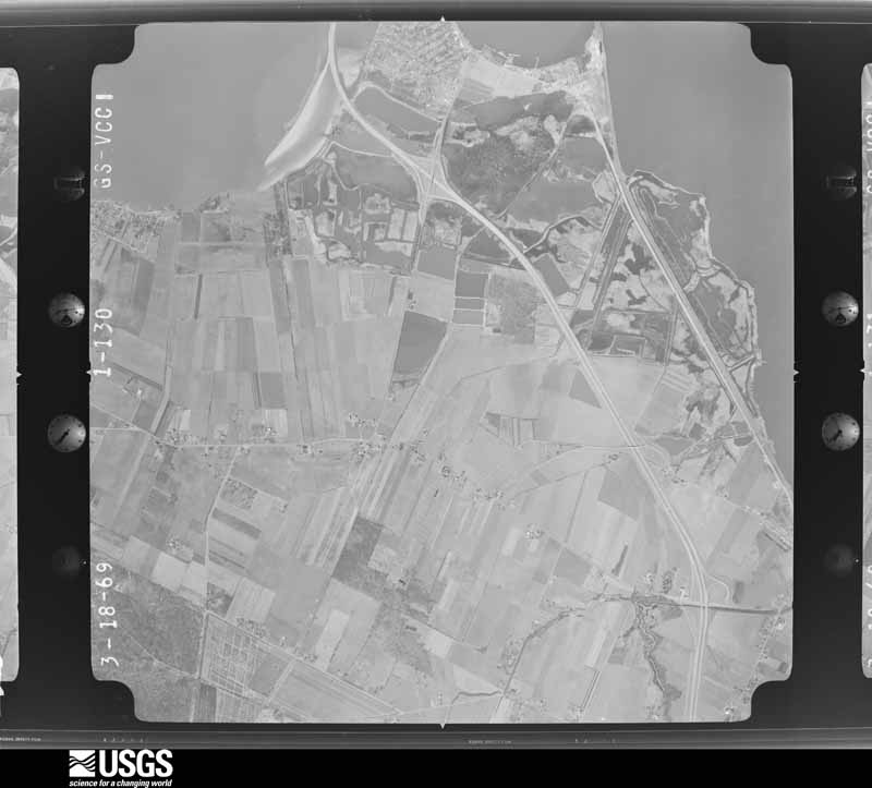
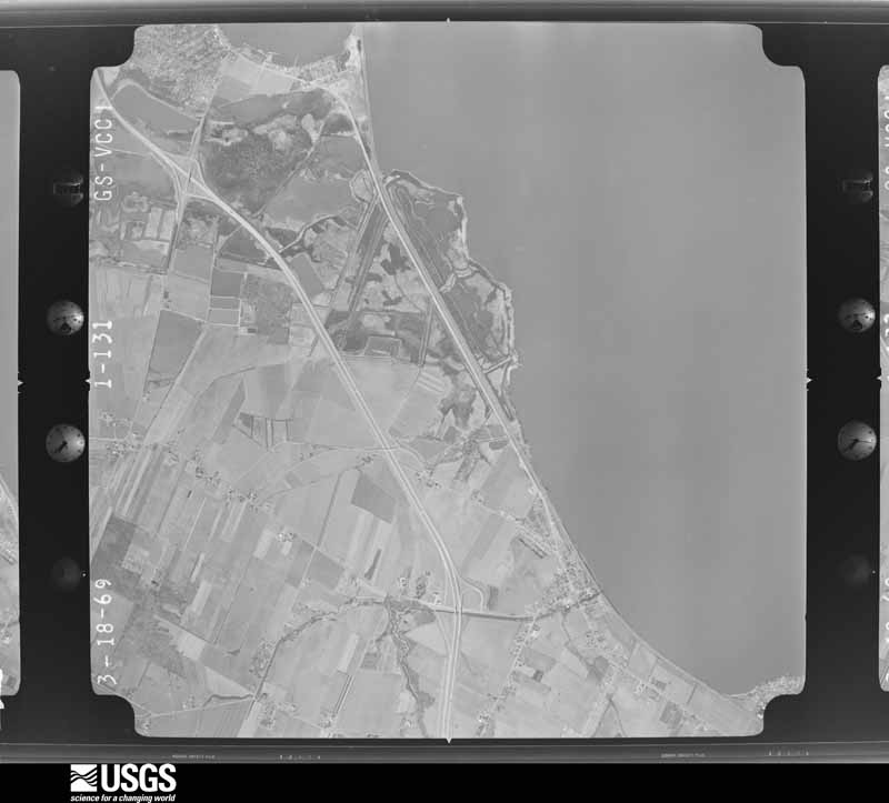
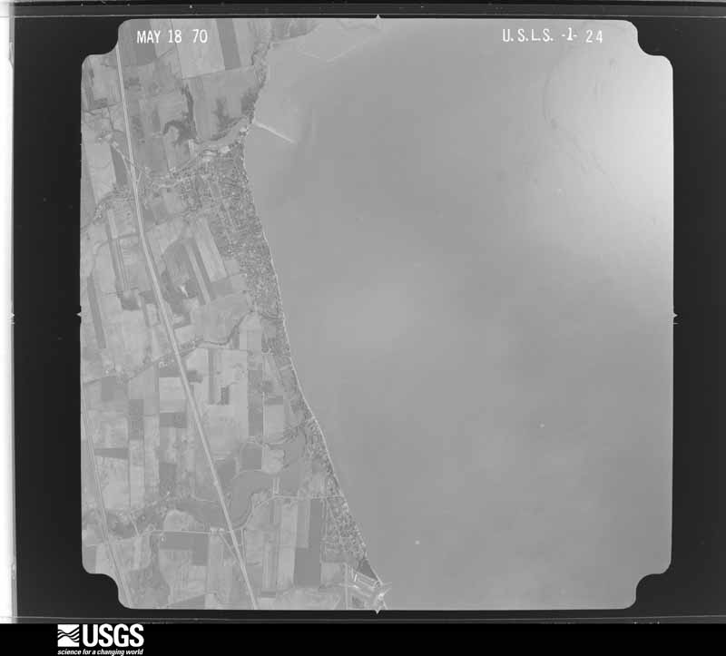
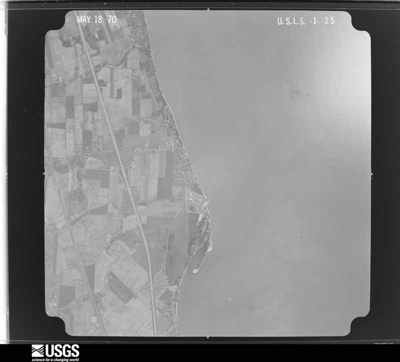
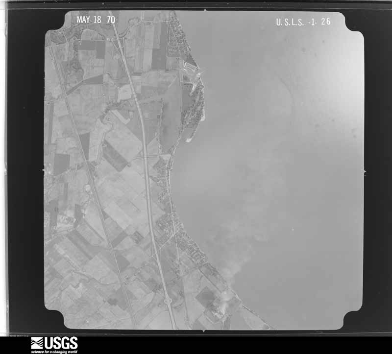
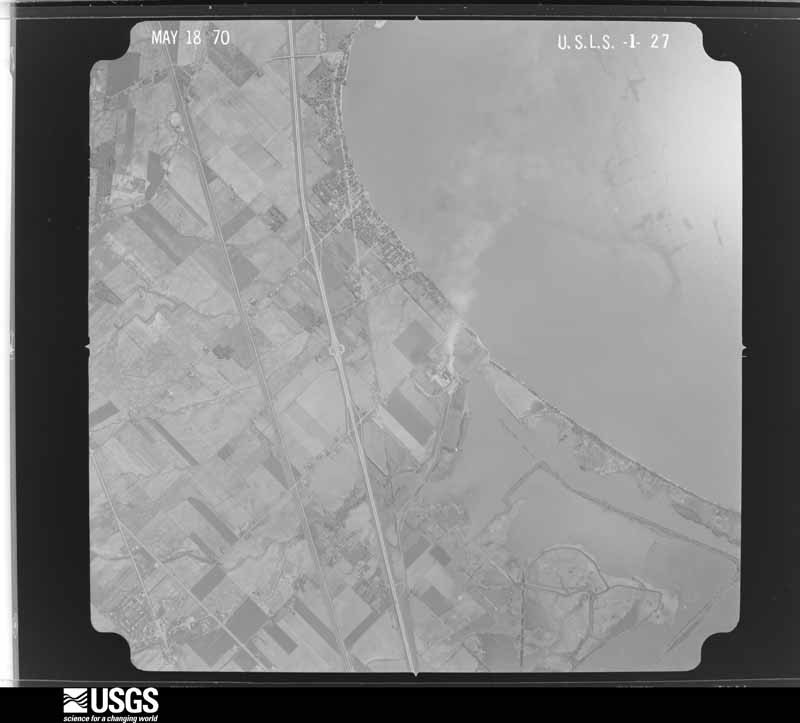
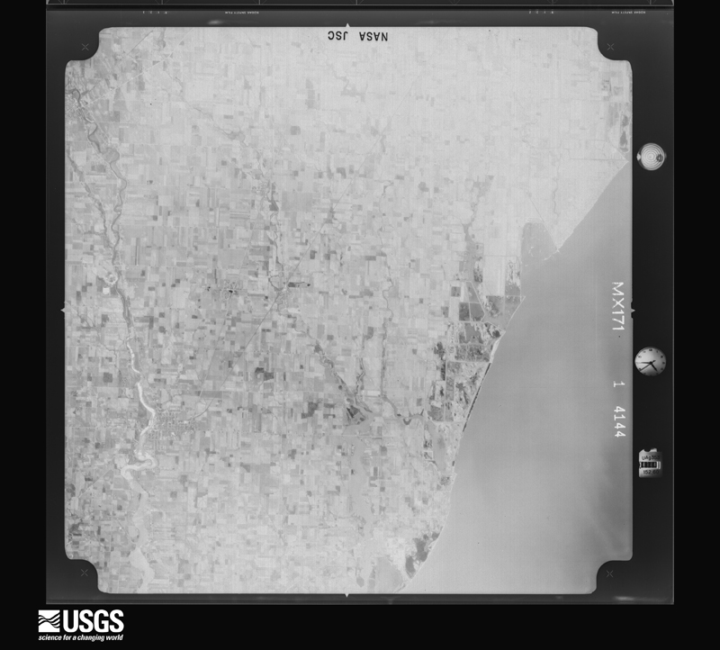
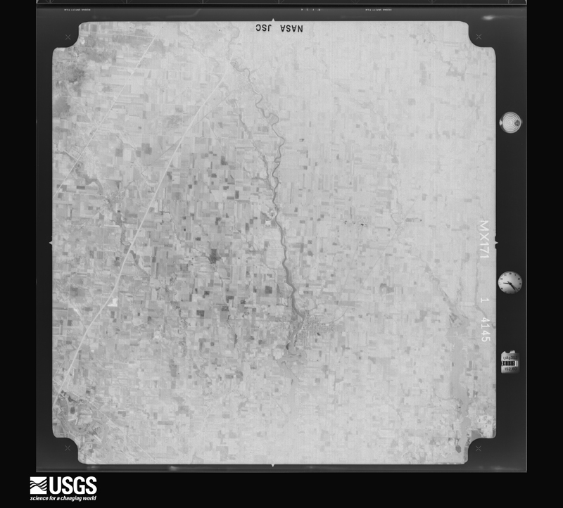
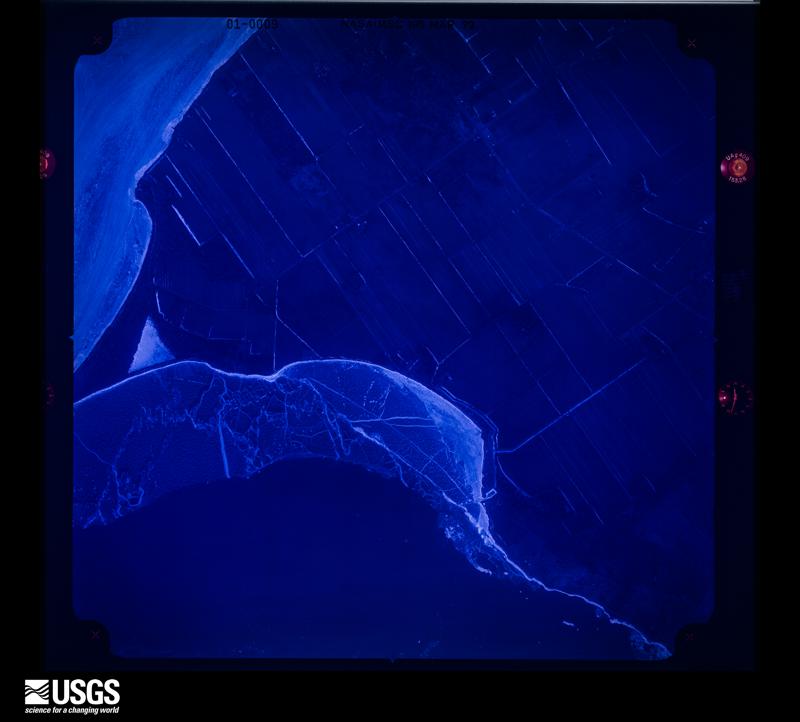
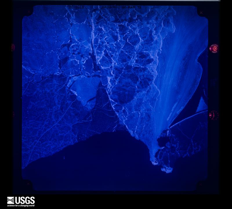
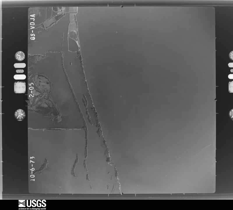
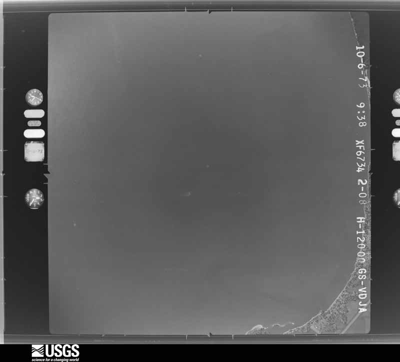
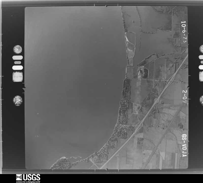
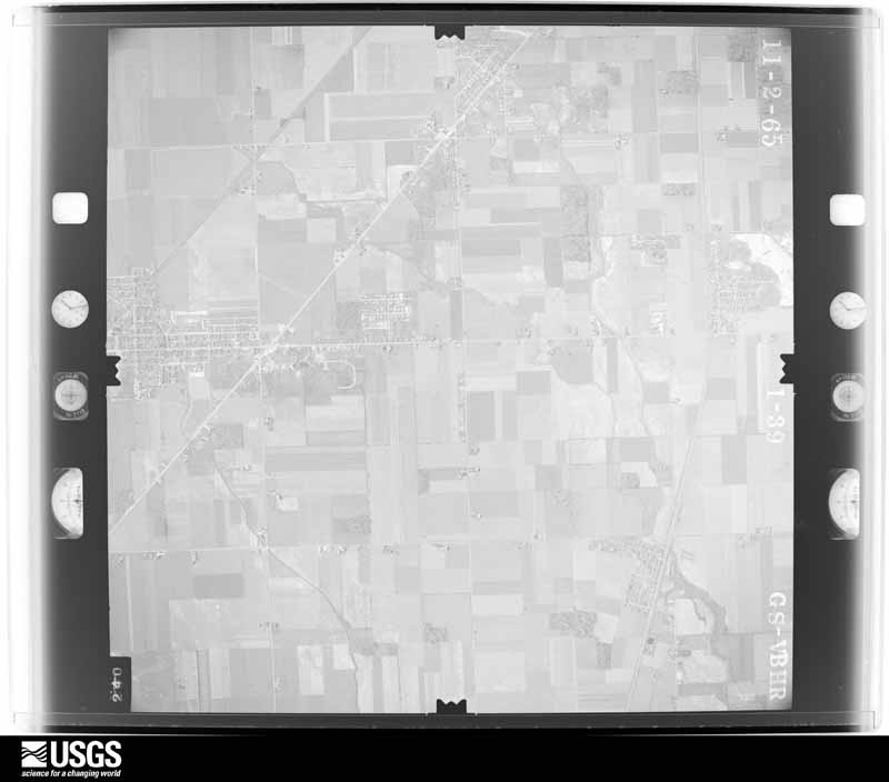
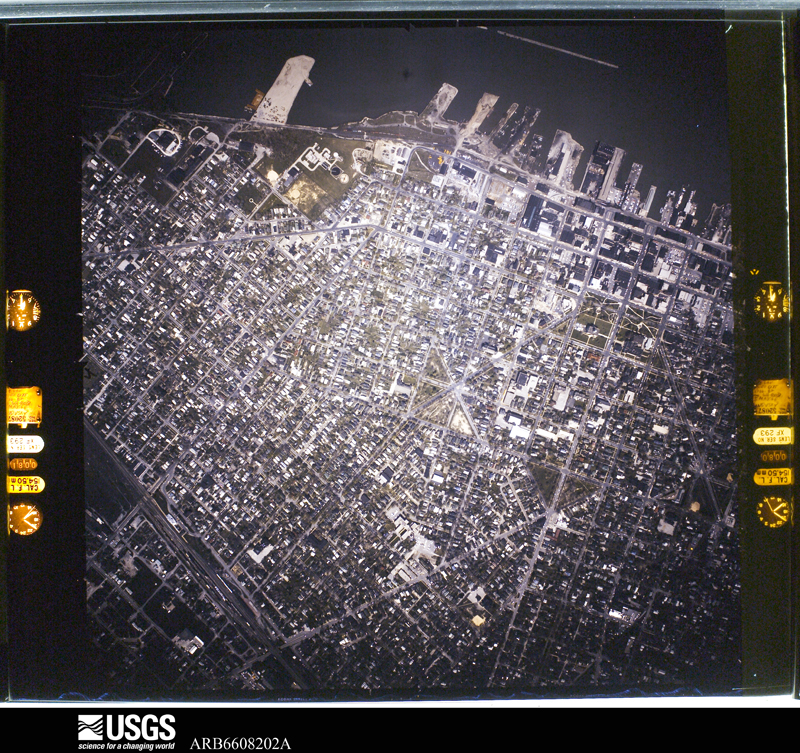
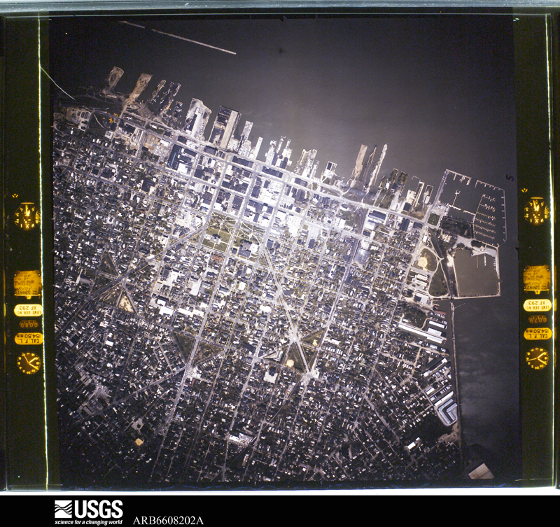
Flown by the U.S. Geological Survey between 1937 and 1989, the Aerial Photo Single Frames collection is the definitive mid-century view of the land: fields, roads and rivers as the camera saw them. 1,178 frames touch this county; the selection below spreads across the decades of flights (at most four per year), so one flight cannot crowd out the rest. The full set is free to browse and download at EarthExplorer under the dataset Aerial Photo Single Frames.

U.S. Geological Survey aerial photograph, 1951-06-01, scale 1:23600
1951-06-01, scale 1:23600. U.S. Geological Survey aerial photograph.
U.S. Geological Survey aerial photograph, 1951-06-01, scale 1:23600
1951-06-01, scale 1:23600. U.S. Geological Survey aerial photograph.
U.S. Geological Survey aerial photograph, 1951-06-01, scale 1:23600
1951-06-01, scale 1:23600. U.S. Geological Survey aerial photograph.
U.S. Geological Survey aerial photograph, 1951-06-01, scale 1:23600
1951-06-01, scale 1:23600. U.S. Geological Survey aerial photograph.
U.S. Geological Survey aerial photograph, 1960-05-15, scale 1:60000
1960-05-15, scale 1:60000. U.S. Geological Survey aerial photograph.
U.S. Geological Survey aerial photograph, 1960-05-15, scale 1:60000
1960-05-15, scale 1:60000. U.S. Geological Survey aerial photograph.
U.S. Geological Survey aerial photograph, 1960-05-15, scale 1:60000
1960-05-15, scale 1:60000. U.S. Geological Survey aerial photograph.
U.S. Geological Survey aerial photograph, 1960-05-15, scale 1:60000
1960-05-15, scale 1:60000. U.S. Geological Survey aerial photograph.
U.S. Geological Survey aerial photograph, 1963-05-01, scale 1:24000
1963-05-01, scale 1:24000. U.S. Geological Survey aerial photograph.
U.S. Geological Survey aerial photograph, 1963-05-01, scale 1:24000
1963-05-01, scale 1:24000. U.S. Geological Survey aerial photograph.
U.S. Geological Survey aerial photograph, 1963-05-01, scale 1:24000
1963-05-01, scale 1:24000. U.S. Geological Survey aerial photograph.
U.S. Geological Survey aerial photograph, 1963-05-01, scale 1:24000
1963-05-01, scale 1:24000. U.S. Geological Survey aerial photograph.
U.S. Geological Survey aerial photograph, 1965-11-01, scale 1:24000
1965-11-01, scale 1:24000. U.S. Geological Survey aerial photograph.
U.S. Geological Survey aerial photograph, 1965-11-01, scale 1:24000
1965-11-01, scale 1:24000. U.S. Geological Survey aerial photograph.
U.S. Geological Survey aerial photograph, 1965-11-01, scale 1:24000
1965-11-01, scale 1:24000. U.S. Geological Survey aerial photograph.
U.S. Geological Survey aerial photograph, 1965-11-01, scale 1:24000
1965-11-01, scale 1:24000. U.S. Geological Survey aerial photograph.
U.S. Geological Survey aerial photograph, 1966-05-05, scale 1:10899
1966-05-05, scale 1:10899. U.S. Geological Survey aerial photograph.
U.S. Geological Survey aerial photograph, 1966-05-05, scale 1:10899
1966-05-05, scale 1:10899. U.S. Geological Survey aerial photograph.
U.S. Geological Survey aerial photograph, 1966-05-05, scale 1:10899
1966-05-05, scale 1:10899. U.S. Geological Survey aerial photograph.
U.S. Geological Survey aerial photograph, 1966-05-05, scale 1:10899
1966-05-05, scale 1:10899. U.S. Geological Survey aerial photograph.
U.S. Geological Survey aerial photograph, 1967-05-01, scale 1:24000
1967-05-01, scale 1:24000. U.S. Geological Survey aerial photograph.
U.S. Geological Survey aerial photograph, 1967-05-01, scale 1:24000
1967-05-01, scale 1:24000. U.S. Geological Survey aerial photograph.
U.S. Geological Survey aerial photograph, 1967-05-01, scale 1:24000
1967-05-01, scale 1:24000. U.S. Geological Survey aerial photograph.
U.S. Geological Survey aerial photograph, 1967-05-01, scale 1:24000
1967-05-01, scale 1:24000. U.S. Geological Survey aerial photograph.
U.S. Geological Survey aerial photograph, 1968-07-25, scale 1:17571
1968-07-25, scale 1:17571. U.S. Geological Survey aerial photograph.
U.S. Geological Survey aerial photograph, 1968-07-25, scale 1:17571
1968-07-25, scale 1:17571. U.S. Geological Survey aerial photograph.
U.S. Geological Survey aerial photograph, 1968-07-25, scale 1:17571
1968-07-25, scale 1:17571. U.S. Geological Survey aerial photograph.
U.S. Geological Survey aerial photograph, 1968-07-25, scale 1:17571
1968-07-25, scale 1:17571. U.S. Geological Survey aerial photograph.
U.S. Geological Survey aerial photograph, 1969-03-22, scale 1:24000
1969-03-22, scale 1:24000. U.S. Geological Survey aerial photograph.
U.S. Geological Survey aerial photograph, 1969-03-22, scale 1:24000
1969-03-22, scale 1:24000. U.S. Geological Survey aerial photograph.
U.S. Geological Survey aerial photograph, 1969-03-22, scale 1:24000
1969-03-22, scale 1:24000. U.S. Geological Survey aerial photograph.
U.S. Geological Survey aerial photograph, 1969-03-22, scale 1:24000
1969-03-22, scale 1:24000. U.S. Geological Survey aerial photograph.
U.S. Geological Survey aerial photograph, 1970-05-21, scale 1:30000
1970-05-21, scale 1:30000. U.S. Geological Survey aerial photograph.
U.S. Geological Survey aerial photograph, 1970-05-21, scale 1:30000
1970-05-21, scale 1:30000. U.S. Geological Survey aerial photograph.
U.S. Geological Survey aerial photograph, 1970-05-21, scale 1:30000
1970-05-21, scale 1:30000. U.S. Geological Survey aerial photograph.
U.S. Geological Survey aerial photograph, 1970-05-21, scale 1:30000
1970-05-21, scale 1:30000. U.S. Geological Survey aerial photograph.
U.S. Geological Survey aerial photograph, 1971-04-16, scale 1:100255
1971-04-16, scale 1:100255. U.S. Geological Survey aerial photograph.
U.S. Geological Survey aerial photograph, 1971-04-16, scale 1:100255
1971-04-16, scale 1:100255. U.S. Geological Survey aerial photograph.
U.S. Geological Survey aerial photograph, 1971-04-16, scale 1:100255
1971-04-16, scale 1:100255. U.S. Geological Survey aerial photograph.
U.S. Geological Survey aerial photograph, 1971-05-17, scale 1:120893
1971-05-17, scale 1:120893. U.S. Geological Survey aerial photograph.
U.S. Geological Survey aerial photograph, 1972-02-29, scale 1:19265
1972-02-29, scale 1:19265. U.S. Geological Survey aerial photograph.
U.S. Geological Survey aerial photograph, 1972-02-29, scale 1:19265
1972-02-29, scale 1:19265. U.S. Geological Survey aerial photograph.
U.S. Geological Survey aerial photograph, 1972-02-29, scale 1:19265
1972-02-29, scale 1:19265. U.S. Geological Survey aerial photograph.
U.S. Geological Survey aerial photograph, 1972-02-29, scale 1:19265
1972-02-29, scale 1:19265. U.S. Geological Survey aerial photograph.
U.S. Geological Survey aerial photograph, 1973-12-01, scale 1:24000
1973-12-01, scale 1:24000. U.S. Geological Survey aerial photograph.
U.S. Geological Survey aerial photograph, 1973-12-01, scale 1:24000
1973-12-01, scale 1:24000. U.S. Geological Survey aerial photograph.
U.S. Geological Survey aerial photograph, 1973-12-01, scale 1:24000
1973-12-01, scale 1:24000. U.S. Geological Survey aerial photograph.
U.S. Geological Survey aerial photograph, 1973-12-01, scale 1:24000
1973-12-01, scale 1:24000. U.S. Geological Survey aerial photograph.

City directories

1 volume

The "who lived here, by year" answer: pre-1929 public-domain directory volumes naming the county's people, machine-read and searchable as text.

Weather records

16 stations, 5 gages

The thermometers that kept this county's weather, and the gages that watched its rivers, as the federal records hold them. The extremes below are measured values from those records, not estimates.

The 1950 census, district by district

45 districts

Who lived here in 1950, one enumeration district at a time, as the Census Bureau described each district. Each row opens its official National Archives result, with Population Schedules and ED Maps available there.

  • 62-1Allen township: Clay Center village
  • 62-2Allen township - That part north of the section line from the northeast corner of section 12, Township 7, Range 13 to the northwest corner of section 10, Township 7, Range 13, and east of Clay Center - Genoa Rd.
  • 62-3Allen township - That part north of the section line from the northwest corner of section 10, Township 7, Range 13 to the northwest corner of section 7, Township 7, Range 13, and west of Clay Center - Genoa Rd.
  • 62-4Allen township - That part south of the section line from the northeast corner of section 10, Township 7, Range 13 to the northwest corner of section 7, Township 7, Range 13, and west of Clay Center - Genoa Rd., outside Clay Center village
  • 62-5Allen township - That part south of the section line from the northeast corner of section 12, Township 7, Range 13 to the northwest corner of section 10, Township 7, Range 13, and east of Clay Center - Genoa Rd.
  • 62-6Port Clinton village, comprising parts of Bay and Portage townships: Port Clinton village - That part in Bay township Bounded by Village limits; Township line; Village limits; Village limits
  • 62-7Port Clinton village - That part in Portage township Bounded by Village limits; Village limits; Village limits; Lincoln Dr. extended, Lincoln Dr., Lincoln Dr. extended
  • 62-8Port Clinton village - That part in Portage township Bounded by Village limits; Lincoln Dr. extended, Lincoln Dr., Lincoln Dr. extended; Village limits; Washington extended, Washington, Washington extended
  • 62-9Port Clinton village - That part in Portage township Bounded by Village limits; Washington extended, Washington, Washington extended; Village limits; Jefferson extended, Jefferson, Jefferson extended
  • 62-10Port Clinton village - That part in Portage township Bounded by Village limits; Jefferson extended, Jefferson, Jefferson extended; Village limits; Monroe, 2nd, Monroe, Perry, Monroe, Monroe extended
  • 62-11Port Clinton village - That part in Portage township Bounded by Village limits; Monroe extended, Monroe, Perry, Monroe, 2nd, Monroe; Village limits; Harrison extended, Harrison, Harrison extended
  • 62-12Port Clinton village - That part in Portage township Bounded by Village limits; Harrison extended, Harrison, Harrison extended; Village limits; Village limits, Township line, Village limits
  • 62-13Bay township - That part outside Port Clinton village (Remainder of Bay township is in Port Clinton village)
  • 62-14Benton township: Rocky Ridge village
  • 62-15Benton township - That part Bounded by County line; Township line; Packer Creek; Stange Rd.
  • 62-16Benton township - That part Bounded by County line; Stange Rd.; Packer Creek; Township line
  • 62-17Benton township - That part Bounded by Packer Creek; Stange Rd.; Township line; Township line
  • 62-18Benton township - That part outside Rocky Ridge village Bounded by Packer Creek; Township line; Township line; Stange Rd.
  • 62-19Carroll township: Carroll township - That part north of Toussaint Creek
  • 62-20Carroll township - That part south of Toussaint Creek
  • 62-21Catawba Island township: Eagle Beach, unincorporated (See boundaries shown on aerial photo BVJ - 2 - 86)
  • 62-22Catawba Island township - That part outside Eagle Beach, unincorporated (See aerial photo BVJ - 2 - 86 for boundaries of Eagle Beach)
  • 62-23Clay township: Genoa village: Genoa village - That part northeast of New York Central Railroad
  • 62-24Genoa village - That part southwest of New York Central Railroad
  • 62-25Clay township - That part northeast of State Hwy. 120
  • 62-26Clay township - That part southwest of State Hwy. 120, outside of Genoa village
  • 62-27BMarblehead village - That part east of Unnamed Private Rd., Railroad Depot Rd. and Walter Ave.
  • 62-27AMarblehead village - That part west of Unnamed Private Rd., Railroad Depot Rd. and Walter Ave.
  • 62-28Lakeside, unincorporated Bounded by Lake Erie; Marblehead village limits; State Hwy. 163; Northwesterly line from junction of unnamed county road and State Hwy. 163 to junction of Unnamed road and Northern Ave., Northern Ave., Dale Lane, Dale Lane extended
  • 62-29Danbury township - That part north of State Hwy. 163, outside Lakeside, unincorporated (See separate map for boundaries of Lakeside)
  • 62-30Danbury township - That part south of State Hwy. 163, outside Marblehead village
  • 62-31AErie township - That part excluding Erie Ordnance Depot
  • 62-31BErie Ordnance Depot (In Erie township)
  • 62-32Harris township: Elmore village
  • 62-33Harris township - That part north of Portage River
  • 62-34Harris township - That part south of Portage River, outside Elmore village
  • 62-35Portage township, outside Port Clinton village: Sand Road, unincorporated (See boundaries shown on aerial photo BVJ - 2 - 85)
  • 62-36Gypsum, unincorporated (See boundaries shown on aerial photo BVJ - 2 - 12)
  • 62-37Portage township - That part outside Port Clinton village and the unincorporated places of Sand Road and Gypsum (See aerial photo BVJ - 2 - 85 for boundaries of Sand Road and aerial photo BVJ - 2 - 12 for boundaries of Gypsum) (Remainder of Portage township is in Port Clinton village)
  • 62-38Put - in - Bay township: Put - in - Bay village
  • 62-39Put - in - Bay township - That part outside Put - in - Bay village, including all islands in this enumeration district
  • 62-40AOak Harbor village - That part Bounded by New York Central Railroad; Village limits; Village limits; Church extended, Church
  • 62-40BOak Harbor village - That part Bounded by Village limits; Village limits, New York Central Railroad, Church, Church extended; Village limits; Village limits
  • 62-41Salem township - That part north of Portage River, outside Oak Harbor village
  • 62-42Salem township - That part south of Portage River

Businesses named in the atlases

64 businesses

Every Sanborn volume opens with a printed index naming the town's mills, tanneries, hotels and works by proprietor. Those indexes were read off the scanned sheets by machine and then matched to each other, so a business surveyed four times appears here once, with the years it survived. 15 of these 64 were named in more than one atlas. Each carries a crop of the line it was read from: the spelling is the recogniser's and the 1880s lithographer's, and the scan behind it is the proof.

Wildfire, 2013 to 2020

15 fires

Every wildfire the federal occurrence database records inside this county: 15 of them, burning about 14 acres. 0 started naturally and 1 were recorded as arson. Each settlement page carries the fires within five miles of it.

Reported cause Fires
Debris and open burning9
Missing data/not specified/undetermined3
Equipment and vehicle use1
Power generation/transmission/distribution1
Arson/incendiarism1

The five largest, by the area the report gives. One of them was set deliberately.

DateCause SizeReported by Name on the report
1 April 2013Missing data/not specified/undetermined10 acresOttawa National Wildlife RefugeBURMIESTER FIRE
7 November 2020Debris and open burning2.0 acresOhio Department of Natural Resources15891
22 April 2013Missing data/not specified/undetermined1.0 acresOttawa National Wildlife RefugePOACHER HIGHWAY FIRE
2 March 2019Equipment and vehicle useunder an acreOttawa National Wildlife RefugeKONST FIRE
14 October 2020Arson/incendiarismunder an acreOhio Department of Natural Resources15852
10 October 2019Debris and open burningunder an acreOhio Department of Natural Resources15321
22 April 2020Debris and open burningunder an acreOhio Department of Natural Resources15677
25 June 2020Missing data/not specified/undeterminedunder an acreOhio Department of Natural Resources15763

Every settlement page carries the fires within five miles of it - see the settlement index below.

Storms, 1956 to 2026

60 of 402 shown

The NOAA Storm Events Database holds 402 reports for this county, causing 0 deaths, 27 injuries and about $70,870,750 in recorded property damage. Each settlement page carries the reports that name it.

Kind of event Reports
Thunderstorm Wind236
Hail114
Tornado15
Flash Flood14
Flood7
Storm Surge/Tide6
Lightning4
Waterspout3
Heavy Rain1
Seiche1
Winter Weather1

The most serious of them, by death, then injury, then recorded damage. The accounts are quoted exactly as the forecast office filed them.

WhenEvent Place namedHarm What the report says
June 1998Tornado (F2)Port Clinton13 hurt, $20,000,000A tornado touched down approximately 10 miles west of Port Clinton and just west of the Davis Bessie power plant. Winds were between 113 and 157 miles per hour. Considerable damage occurred, with some barns completely destroyed and an apartment complex heavily damaged. Sixty three homes were destroyed, 63 sustained major damage, 238 had minor damage, semi trucks and mobile homes were overturned and trees and utility poles were downed. Loss of power lines outside Davis Bessie triggered a shutdown and a second stage alert; power was out for several days in places. A state of emergency was declared and all roads were closed in the county. Many buildings were destroyed and trees were downed at Camp Perry. A tree containing an eagle's nest with 2 eaglets was blown down. One of the eaglets survived.
May 2011Thunderstorm WindPort Clinton5 hurt, $20,000Damaging thunderstorm winds hit the area during the Annual Walleye Festival. Thunderstorm winds downed a large entertainment tent in Port Clinton. Between 25 and 30 people were trapped beneath the collapsed tent. The incident resulted in a total of five people sustaining minor injuries. Three individuals were transported to Magruder Hospital, while two others walked to the hospital.
November 2002Tornado (F2)Port Clinton4 hurt, $13,500,000A tornado touched down south of Port Clinton and then moved northeast entering the city just west of the intersection of Wilcox Road and Fulton Road. The tornado moved through the heart of the city reaching Lake Erie at Lakeview Park. From there, the tornado moved northeast over Lake Erie to Catawba Island where it finally dissipated after a ten mile long damage path. Four people suffered minor injuries as a result of the tornado. Hardest hit was the Lakeview Park area where two condominiums were blown off their stilts into Lake Erie and many other structures where destroyed. The initial storm damage in Port Clinton occurred along 11th Street where several homes were heavily damaged or destroyed. Significant damage also occurred near 8th and Fulton Streets. As the tornado moved through the city, it damaged the local high school and a hospital. Significant damage also occurred on Catawba Island with several homes damaged and destroyed before the tornado finally dissipated. A total of 24 homes and 16 apartments were destroyed along the damage path with approximately 60 additional homes damaged enough to be deemed uninhabitable. Another 80 structures sustained minor to moderate amounts of damage. The damage path was typically no more than 50 yards in width. Dozens of vehicles were damaged or destroyed by the tornado and hundreds of trees and power poles were toppled.
June 1987Hailnot stated3 hurtno account filed
January 1998Winter WeatherCountywide2 hurtno account filed
June 2006Flash FloodCountywide$8,000,000Thunderstorms dumped very heavy rains on Ottawa County during the evening hours of June 21st. The rain began around 7 pm with rainfall rates later in the evening exceeding three inches per hour. Rainfall totals from the storm ranged from 6 to 8 inches in the Port Clinton area with slightly lesser amounts further east and south. Widespread flash flooding occurred across the county. The flooding was especially bad in Port Clinton where firefighters rescued 15 motorists from their stranded vehicles between 10:30 and 11:30 p.m. Floodwaters over three feet deep were reported in many locations in the city. At the peak of the event, flood waters on Buckeye Boulevard were over four feet deep. Extensive flooding occurred on the ground floor of a local hospital. Several apartment buildings were also flooded in the city requiring the evacuation of dozens of residents. Flooding elsewhere in the county closed a couple dozen roads. Dozens of homes and businesses sustained significant damage from flooding that made it into their ground floors. Several hundred more homes sustained lesser damages, mainly from basement flooding. Local officials stated that this was the worst flooding seen in the county since the historic flood and severe weather episode of July 4th, 1969.
June 1998Thunderstorm WindCountywide$3,000,000Most of the damage in Ottawa County was caused by straight line winds. A gust of 92 miles per hour was measured in Erie Township. Sustained winds of 70 miles per hour were measured at Port Clinton. Many trees and power lines were downed, blocking several roads. Mobile homes were flipped over, some with people inside them in Oak Harbor, and roofs were blown off of barns.
August 2011FloodPort Clinton$2,500,000An official NWS observer measured 6.58 inches over Port Clinton on the 14th. Emergency Management estimates at least half the town experienced some form of flooding as storm sewer systems were overwhelmed. The H.B. Magruder Hospital was inundated with ankle deep flood waters. Many homes and businesses in Port Clinton observed water in their basements, garages, or into their first floors. Many residents report this to be the worse flooding since the July 4-5th storm of 1969. EMA estimated a lot of property was affected with minor flooding, very few major, and no destroyed.
July 1992Tornado (F2)not stated$2,500,000no account filed
June 1986Tornado (F1)not stated$2,500,000no account filed
June 2010Tornado (EF3)Clay Center$2,400,000A strong tornado moved into western Ottawa County from Wood County during the late evening hours of June 5th. The tornado entered the county at 11:30 pm EDT as a weak EF3 or strong EF2 tornado. A couple homes on Trowbridge Road just east of the county line were heavily damaged. The tornado then continued east northeast to just north of the intersection of Billman and Trowbridge Roads where a few more homes were significantly damaged. After crossing Billman Road, the tornado took a turn to the right and intensified back to EF3. The tornado crossed Reiman Road just south of Trowbridge Road and finally lifted just before reaching Bolander Road. Around a dozen homes near the intersection of Trowbridge Road and Reiman Road were damaged. In Ottawa County, a total of 11 homes were destroyed with another 14 homes sustaining major damage from the tornado. Around 20 additional homes sustained lesser damages. This tornado was on the ground in Ottawa County for just over two and a quarter miles and had a maximum width of around 200 yards. Two injuries were reported.
June 2019FloodIsle St George$2,000,000The mean level of Lake Erie rose 4 inches from May to June to a level of 574.61 ft. This monthly mean level broke the record high June level and it is the lakes highest recorded monthly level mean since 1918, the beginning of its period of record. Lake Eries monthly mean level was 10 inches above its level of a year ago. Flooding impacted the western Lake Erie shoreline with most of the impact along the Islands and Ottawa and Erie Counties where homes, businesses, and parks took on high water. Area beaches were underwater and many marinas were in accessible due to high water levels. During periods of high wind South Bass Island was temporarily divided into two islands notably on the 8th and 15th. Ferries to the islands were temporarily grounded.
May 2009Flash FloodPort Clinton$2,000,000Slow moving, training thunderstorms produced torrential rainfall in Port Clinton, flooding nearly every street in town. Basement flooding was common due to the high water in the streets. The hospital lobby experienced flooding starting around 2:33pm local time, with water one to two feet deep just outside the main entrance. The foundation of a bank building at East 2nd and Madison collapsed around 3:55pm. 3.75 inches of rain fell in one hour at the sewage treatment plant between 1:30pm and 2:30pm. Storm total rainfall of 5.1 inches was measured in Port Clinton, with 4.5 inches measured on Harbor Road just east of town.
April 1998Storm Surge/TidePort Clinton$2,000,000no account filed
June 2018Flash FloodOak Harbor$1,250,000Three rounds of torrential rain moved across Ottawa County on the evening of June 12th between 8 pm and midnight. The heaviest rain occurred around 1030 pm with rainfall rates estimated at over 5 inches per hour lasting for 45 minutes. Unofficial rain gauges in the area reported storm total rainfall amounts of 5 to 6 inches between Oak Harbor and Port Clinton, with one cocorahs station reporting 5.50 inches over Port Clinton. A rain gauge in Catawba Island reported as much as 8 inches, though this cannot be verified. Though a lakeside and relatively flat terrain the area is flood prone. Flooding was notable in this event due the intensity of the rainfall which overwhelmed storm drainage systems. The Portage River, which flows through Ottawa County to its mouth at Sandusky Bay, was elevated but did not flood. Lake Erie, another source for storm water output, was elevated at the time of the rainfall contributing to poor storm drainage. |Local officials declared a State of Emergency for Port Clinton and Oak Harbor due to extensive flooding. The primary impacts were widespread basement flooding and road closures. Hardest hit in Port Clinton were Madison, Lee, Taft, and Columbia Streets. Flood waters reached the front doors of many homes as neighborhood storm drains were overwhelmed. At least one basement wall collapsed. Following a CERT survey, there were at least 6 homes with major damage, 51 with minor damage, and 134 affected. The area hospital flooded with 2-3 inches in the lobby, gift shop, and radiology department, along with the south parking lot. In Port Clinton alone up to 35 roads were either closed or had reports of high water between 2 and 3 feet deep. In Oak Harbor Ohio 19 between Ohio 163 and Ottawa Street was flooded. The primary impacts in Oak Harbor was flooded basements. Total damages estimated around $1.25 M.
August 2023Flash FloodPut In Bay Arpt$750,000Extensive flash flooding on South Bass Island, with widespread street flooding and widespread basement flooding. Flooding of airport runway on the island. Radar estimated 6.5 to 7 inches of rainfall in a 4.5 hour period ending around 400 AM EDT on August 24, 2023, with 4 to 4.5 inches of rain falling in roughly 2.5 hours.
July 2012HailCatawba Is$750,000Golf ball to tennis ball sized hail pummeled much of Danbury Township. The hail was accompanied by strong winds which led to considerable damage. All of the Danbury Township Police Department vehicles were damaged too much to be driven. Around six permanent homes and nearly two dozen trailers were damaged by the hail. Most of the damage was to vinyl siding. The hail lasted for several minutes and also damaged many vehicles. A soybean field was heavily damaged by the hail.
July 2012Thunderstorm WindCatawba Is$600,000A strong thunderstorm moved across Catawba Island from Lake Erie. Thunderstorm downburst winds estimated at 75 mph caused considerable damage from the west shore all the way to Marblehead. Over 250 trees were toppled or snapped in Danbury Township. Several homes sustained damage from fallen trees. Other homes lost roofing or siding and two vehicles were crushed by fallen trees. Large hail accompanied the strong winds and also caused extensive damage. Danbury Township Police were unable to conduct a storm survey because all of the departments police cruisers were damaged by the hail. Funnel clouds were reported in the area but there was no evidence of a touchdown.
June 2006Flash FloodCountywide$500,000Thunderstorms redeveloped along the south shore of Lake Erie during the afternoon of June 22nd and dumped a second round of heavy rain on portions of Ottawa County. With streams and rivers already full and the ground saturated from earlier rains, flash flooding resumed in the county. One to three inches of additional rainfall was reported during the afternoon bringing 24 hour totals to around 10 inches in Port Clinton and 6 inches in Elmore. Streets and roads in the county once again became impassable in many areas. Two adults and a child had to be rescued from a stranded vehicle. In addition to the substantial propertly losses across the county, significant crop damage also occurred. Initial estimates indicate that as much as 20 percent of the soybean crop In Ottawa County was destroyed by the flooding on the 21st and 22nd.
August 2023Flash FloodPort Clinton$400,000Reports of widespread flash flooding in Port Clinton. Multiple flooded and impassable roadways reported along with widespread basement flooding. Radar estimated around 4 inches of rainfall in just under a 3 hour period ending 300 AM EDT on August 24, 2023, with total rainfall of 5 to 5.5 inches ending 500 AM EDT on August 24, 2023.
April 2020FloodTrowbridge$400,000Record lake levels continued to lead to flooding along lakeshore locations from the Islands to Vermilion. Beach erosion, flooded marinas, and a few flooded local roads was ongoing throughout April impacting businesses. With north to northeast winds, wind-fueled waves crashed over break walls along the lakeshore surrounding some homes and closing additional roads including State Route 2.
June 2008Thunderstorm WindClay Center$350,000A train derailed causing approximately sixteen cars to come off the track. A large tree was also reported down.
June 2023Tornado (EF2)Strongs Ridge$255,000A tornado began about three miles south of Oak Harbor and tracked east-northeastward before ending about three miles east-southeast of Oak Harbor. Five homes were damaged along the tornado's path and several of these homes lost their roofs. The tornado also destroyed seven barns and ten cattle fatalities were reported. This tornado received a peak rating of EF2 with estimated peak winds of 130 mph.
August 2023Flash FloodCatawba Is$250,000Widespread roadway and basement flooding across Catawba Island. One water rescue was reported at a campground in Catawba Island. Radar estimated 5.5 to 6 inches of rainfall in a four hour period ending around 400 AM EDT on August 24, 2023, with a bulk of the rain falling in roughly 2.5 hours.
June 2006FloodCountywide$250,000Thunderstorms dumped as much as 8 to 10 inches of rain on portions of Ottawa County on June 21st and 22nd. Widespread flooding occurred across the county as runoff from this heavy rain made it into area streams and rivers. At the peak of the flooding, much of the county was under standing water. Numerous roads had to be closed because of flooding. Hundreds of homes sustained damage during this event. Initial estimates indicate that as much as 20 percent of the soybean crop in the county was destroyed by flooding. Local officials stated that flood damage in the county was the worst since July 4th, 1969.
May 1974Tornado (F1)not stated$250,000no account filed
April 2003Thunderstorm WindCountywide$200,000Thunderstorm winds downed many trees across the county. Several buildings were also damaged. An automobile dealership near Oak Harbor lost part of it's roof and had several vehicles damaged. Two barns were heavily damaged along State Route 19 north of Oak Harbor and a third barn was damaged near Rocky Ridge. Over 2500 customers, most of them in Carroll Township and on Catawba Island, were without electricity during the peak of the storm.
June 1997Storm Surge/TideLake Erie Lakeshore$200,000no account filed
June 2020Thunderstorm WindOak Harbor$150,000Ottawa County Emergency Management, Sheriff Dispatch, and several trained spotters reported widespread wind damage across Ottawa County. Tree damage and downed power poles and lines were reported in Oak Harbor, Port Clinton, Catawba Island, and Marblehead in the mainland portions of the county. Several of the downed trees were quite large, as much as three and a half feet in diameter, and several were reported to be snapped. Outside of a few trees falling onto structures, some homes reported wind damage with a roof removed from a garage and others having miscellaneous roof and shingle damage. An automated wind sensor at Carl R Keller Field reported a 60 mph wind gust during the event. Power outages in the area lasted several days.
May 2011HailCatawba Is$150,000Thunderstorms produced golf ball size hail. Vehicles and homes were damaged during this event.
September 2011Thunderstorm WindLakeside$150,000A thunderstorm downburst caused a quarter mile long damage path near Marblehead. Many trees were downed and at least a couple homes sustained structural damage from downed trees and limbs. Several other homes and cottages lost windows or siding. At least four vehicles were damaged by fallen trees.
June 2010Thunderstorm WindWilliston$150,000A thunderstorm downburst with winds estimated to be at least 60 mph downed dozens of trees across the northern third of Ottawa County during the early morning hours of June 6th. A few homes and buildings sustained minor damage, mainly from lost roofing or siding.
June 2002Thunderstorm WindPort Clinton$125,000Thunderstorm winds downed at least a dozen trees. Three of the trees damaged houses. Three cars were also damaged.
July 2000Thunderstorm WindCatawba Is$120,000Thunderstorm winds downed over 30 trees on Catawba Island and several others in Marblehead. A 70 mph thunderstorm wind gust was measured at the Coast Guard Station in Marblehead. Several homes were damaged by fallen trees and a car was crushed by a tree in Marblehead. A garage was also crushed on Catawba Island and a nearby home lost much of its roof.
May 2020FloodCatawba Is$100,000Ongoing record Lake Erie water levels persist in impacting businesses, recreational boaters, and some property owners along the lakeshore. The most impacts continue to be along the more shallow western basin and islands which include flooded marinas, beach erosion, loss of business for tourism, and continued damage to properties along the lake.
April 2011Tornado (EF0)Lacarne$100,000An EF0 tornado touched down around four miles southwest of Port Clinton in Bay Township. The Initial touchdown occurred just east of the intersection of Paulsen Road and Little Portage Road East. The tornado then moved northeast for about a mile an a half before lifting along Darr Hopfinger Road. The damage path was about 30 yards in width. Damage consisted of mainly downed trees. Several outbuildings lost sections of roofing. A couple homes also sustained minor roof damage. Maximum winds were estimated to be around 75 mph. No injuries were reported.
June 2005Thunderstorm WindGenoa$100,000Numerous trees, power lines, and power poles downed from thunderstorm winds. One tree was reported to have fallen on a house. Two semi trucks were also blown over.
August 2002Thunderstorm WindPort Clinton$100,000Thunderstorm winds downed trees and power poles along Lake Erie from Long Beach to Port Clinton. A 64 mph thunderstorm wind gust was measured in Port Clinton by an observer. Also in Port Clinton, a roof was torn off of a building and at least one car was damaged by trees. Many trees were also downed on Catawba Island.
May 2000Thunderstorm WindCountywide$100,000Thunderstorm winds downed trees throughout the county. A barn was blown down just north of Elliston. A nearby house also sustained minor roof damage. Trees and a two car garage were blown down northeast of Graytown. Trees were also knocked down in Oak Harbor, Genoa and Benton Township.
March 1998Storm Surge/TidePort Clinton$100,000no account filed
February 1998Storm Surge/TidePort Clinton$100,000no account filed
June 1997Flash FloodCountywide$90,000no account filed
June 2025Tornado (EF0)Elliston$85,000An EF0 tornado with estimated peak winds of 80-mph impacted the Elmore area and moved east-northeastward during its lifespan. The tornado began near the northwest corner of OH Route 163 and Elliston Trowbridge Road before damaging a metal outbuilding and destroying a grain silo. After the tornado crossed Elliston Trowbridge Road, it damaged the roof of a residence and snapped a couple trees. Debris settled in a field beyond the residence before the tornado dissipated before reaching Graytown Road.
June 2006Thunderstorm WindCountywide$80,000Severe thunderstorms moved across Ottawa County during the evening hours of June 21st. A camper with two people inside was overturned in Port Clinton. No significant injuries were reported. Numerous trees and large limbs were reported down across the county. A mobile home was crushed by a fallen tree and a car was also destroyed by a tree. In Benton Township, several buildings lost portions of their roofs.
June 2020Thunderstorm WindPut In Bay$75,000Extensive tree damage occurred across South Bass Island and Put-In-Bay. Some trees fell onto power lines and homes, causing minor damage to a few structures. An automated wind sensor at South Bass Island measured a 76 mph wind gust.
May 2015Thunderstorm WindPort Clinton$75,000Thunderstorm winds tore a section of roofing off of a auto parts store in Port Clinton. No injuries were reported.
August 2010Thunderstorm WindElmore$75,000Thunderstorm winds downed numerous large tree limbs onto power lines. Widespread power outages resulted in the eastern portion of Elmore.
March 2003Thunderstorm WindPort Clinton$75,000Showers moved across Ottawa County during the evening hours. Although no thunder or lightning was reported, the showers were intense enough to cause some damage in the county. Wind gusts were estimated to be in excess of 50 mph. A few trees and large limbs were downed in Port Clinton. A barn was leveled near Oak Harbor and a nearby house was also damaged by the strong winds.
July 1998Thunderstorm WindGraytown$75,000Several large trees, branches and power lines were downed, some on houses.
February 1998Storm Surge/TidePort Clinton$75,000no account filed
August 2010Thunderstorm WindOak Harbor$70,000Thunderstorm winds uprooted a tree measuring four feet in diameter and 70 feet in height. The tree fell onto a house and caused moderate damage.
August 2016Thunderstorm WindPort Clinton$50,000Thunderstorm down burst winds downed many trees in the Port Clinton area.
November 2013Tornado (EF1)Elmore Haar Fld Arpt$50,000An EF0 tornado touched down east of Elmore along West Yeasting Road just to the west of State Route 590. The tornado moved northeast and briefly intensified to EF1 intensity as it crossed State Route 590. A barn near this location was leveled. The tornado continued on the ground for another half mile or so and then lifted. The damage path was around three quarters of a mile in length and no more than 75 yards in width. Damage consisted mainly of a few downed trees and limbs.
August 2010Thunderstorm WindOak Harbor$50,000Thunderstorm winds downed numerous large trees and power lines. Two trees measuring four feet in diameter and thirty feet tall were uprooted. A vehicle was damaged by one of the trees.
May 2004Thunderstorm WindCountywide$50,000A line of severe thunderstorms moved across Ottawa County and downed a couple dozen trees. A few power outages were also reported.
July 2003Thunderstorm WindCountywide$50,000Thunderstorm winds downed many trees and large limbs across the county.
May 2002Thunderstorm WindGenoa$50,000Thunderstorm winds destroyed two pole buildings near Genoa in Clay Township.
October 1999Thunderstorm WindCountywide$50,000Trees and power poles downed in Danbury, Clay Center, Genoa and Port Clinton. A wall under construction in Port Clinton was toppled by thunderstorm winds. Scaffolding and portions of a fence were destroyed by the wall.
July 1998Thunderstorm WindOak Harbor$50,000A barn and trees were downed in Salem Township, south of Oak Harbor.
March 1997Storm Surge/TideErie Lakeshore$50,000no account filed

Mines and quarries

17 recorded

The Survey's mineral resources record lists 17 workings inside this county. 7 still produce and 10 are closed or unrecorded. Each settlement page carries the workings within five miles of it.

Commodity Workings
Gypsum-Anhydrite5
Stone, Crushed/Broken5
Calcium3
Limestone, General2
Stone1
Beryllium1

The least common of them first, because a county's hundredth gravel pit says nothing its first ten did not.

Where SiteCommodity StatusRecorded
Brush Wellman/ Elmore, OhioBerylliumPast Producer
Clay Center PlantStoneProducer
Marblehead Stone QuarryLimestone, GeneralPast ProducerSedimentary
Rocky Ridge QuarryLimestone, GeneralPast ProducerSedimentary
Genoa QuarryCalciumPast ProducerCalcite
White Rock QuarryCalciumPast ProducerCalcite
White Rock Quarry L.P.CalciumProducer
American Mine No 2Gypsum-AnhydriteProducer
American Mine Number 2 QuarryGypsum-AnhydritePast ProducerSedimentary
Geawe QuarryStone, Crushed/BrokenPast Producer
Lower MineGypsum-AnhydritePast Producer
Marblehead QuarryStone, Crushed/BrokenPlant
Ottawa County Hwy Dept.Stone, Crushed/BrokenProducer
Rocky Ridge PlantStone, Crushed/BrokenProducer
U.S. Gypsum Company Genoa QuarryStone, Crushed/BrokenProducer
U.S. Gypsum MillGypsum-AnhydritePast Producer
United States Gypsum Co. MineGypsum-AnhydritePast ProducerSedimentary

Collected here, 1825 to 1975

8 of 13,927 shown

Museum specimens collected inside this county and catalogued with a date and a place: 13,927 of them, by kingdom 12,173 animalia, 1,581 plantae, 150 fungi, 10 chromista, 7 protozoa. Each is a physical object in a named collection, not a sighting. Held by Ohio State University - Fish Division, Columbus, OH (OSUM), ROM, Ohio State University - Bird Division, Columbus, OH (OSUM), INHS, CM, USNM among others, and each settlement page carries the specimens collected near it.

The oldest of them. A specimen proves something was collected on that day; its absence proves nothing.

Photograph YearSpecies KingdomWhere CollectorCatalogue
A photograph of the species Hygroamblystegium tenax, not of this specimen1825Hygroamblystegium tenax (Hedw.) Jenn.PlantaeBanks of the Portage RiverT. DrummondF C1068541F
A photograph of the species Pseudoleskea rigescens, not of this specimen1828Pseudoleskea rigescens Lindb.PlantaeBanks of the Portage RiverThomas DrummondPH PH00125292
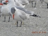
A photograph of the species Hydroprogne caspia, not of this specimen1865Hydroprogne caspia (Pallas, 1770)AnimaliaWinous Pt., Bay Twp, Ottawa, Ohio, USATrautman, M. B. (Milton Bernard)Ohio State University - Bird Division, Columbus, OH (OSUM) OSUM Birds B 10592
A photograph of the species Carex L., not of this specimen1871Carex L.PlantaePut-in-bay Island, Lake Erie.H. GillmanNY 2333290
A photograph of the species Astragalus canadensis, not of this specimen1872Astragalus canadensis var. canadensisPlantaeShores of the Is. at Put-in-Bay. Lake ErieT. MorongNY 01247200
A photograph of the species Mentha arvensis, not of this specimen1872Mentha arvensis var. glabrata (Benth.) FernaldPlantaePut-in-Bay Is. Lake Erie. On the lake shore.T. MorongNY 2059759
A photograph of the species Solidago hispida, not of this specimen1872Solidago hispida Muhl. ex Willd.PlantaePut-in-Bay Island, Lake ErieT. MorongNY 2352823
A photograph of the species Diphasiastrum complanatum, not of this specimen1878Diphasiastrum complanatum (L.) HolubPlantaePut-in Bay;;;;Roberts, ThomasMIN 55237

Every populated place in the county

37

Named settlements recorded in the Geographic Names Information System, each with the topographic sheets covering it. Villages, hamlets and abandoned places alike. Each is shown with the watercourse or landform it stands on and the survey quadrangle it falls on. The 6 places that were also surveyed for fire insurance come first, with the number of atlases and photographs held for them.

Recorded here

Port Clinton, Ohio

11 topographic sheets and 9 fire insurance atlases, 1884 to 1959

Elmore, Ohio

12 topographic sheets and 8 fire insurance atlases, 1888 to 1948

Genoa, Ohio

16 topographic sheets and 8 fire insurance atlases, 1885 to 1939

Oak Harbor, Ohio
13 topographic sheets and 8 fire insurance atlases, 1888 to 1945

Lakeside, Ohio

13 topographic sheets and 5 fire insurance atlases, 1905 to 1946

Put-In-Bay, Ohio

11 topographic sheets and 1 fire insurance atlases, 1950 to 1950

Everything this county holds

The complete index, with nothing left out. Each of these is a separate record with its own page: a federal survey report, or the case file that argued a property on to the National Register. Both are public domain and reproduced word for word.

Surveyed structures

3 structures

Nomination case files

21 case files

The vanished settlements of Ottawa County, the places these records name that are no longer on the map.

Provenance

  • Topographic sheets. USGS Historical Topographic Map Collection, county index, measured from the bulk metadata.
  • Fire insurance maps. Library of Congress Sanborn collection, faceted to this county.
  • Photographs. Each place queried individually against the Library of Congress Prints and Photographs search.
  • Wildfire. Short, Karen C. 2022. Spatial wildfire occurrence data for the United States, 1992-2020 [FPA_FOD_20221014]. 6th Edition. Fort Collins, CO: Forest Service Research Data Archive. https://doi.org/10.2737/RDS-2013-0009.6 Collected with United States Government funding and usable without additional permissions or fees.
  • Specimens. Global Biodiversity Information Facility (GBIF), https://www.gbif.org/. Only records licensed CC0 or CC BY are used. Records licensed CC BY-NC are excluded because this site carries advertising. Images are checked individually and any whose licence is non-commercial, no-derivatives or unreadable is refused.
  • Mines and quarries. USGS Mineral Resources Data System (MRDS) https://mrdata.usgs.gov/mrds/ A work of the United States government, no copyright under 17 U.S.C. 105.
  • Storms. NOAA National Centers for Environmental Information, Storm Events Database https://www.ncei.noaa.gov/stormevents/ A work of the United States government, no copyright under 17 U.S.C. 105. Narratives are quoted verbatim from the National Weather Service report and are not edited or summarised.