 Block
Block
Oakland, Massachusetts
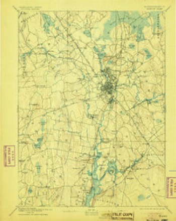
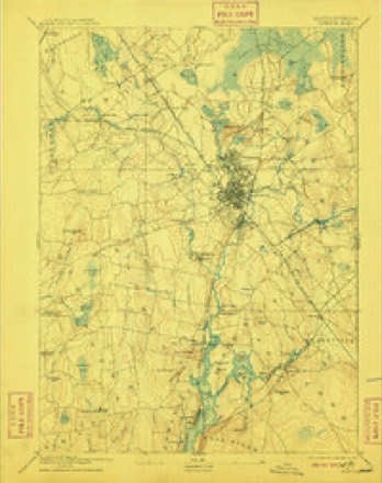
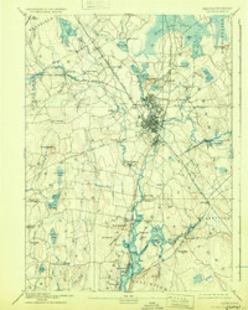
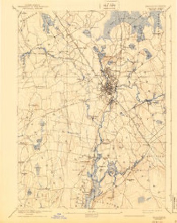
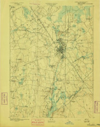
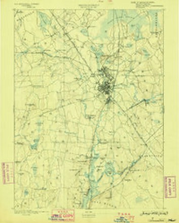
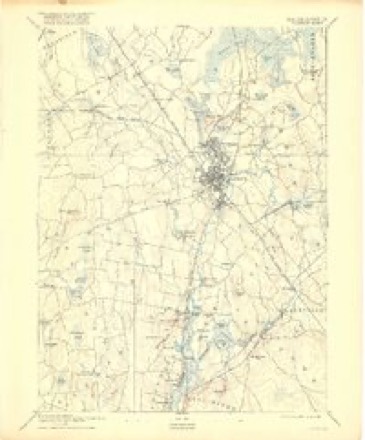
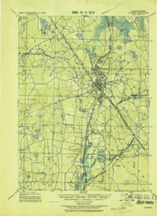
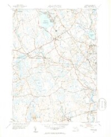
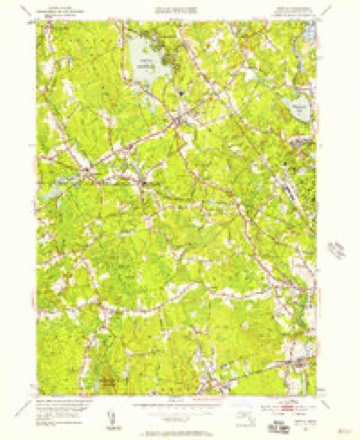
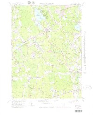
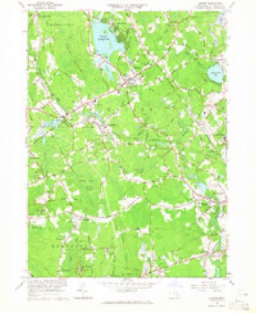
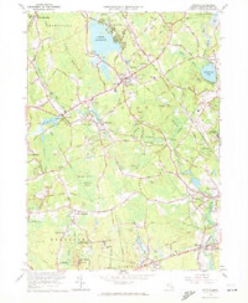
33 topographic sheets cover this place, the earliest surveyed in 1885 and the latest in 1987. It stands in Taunton City. It lies in ZIP code area 02780. It stands on Fall Brook. The Survey maps it on the Norton quadrangle.
Then and now
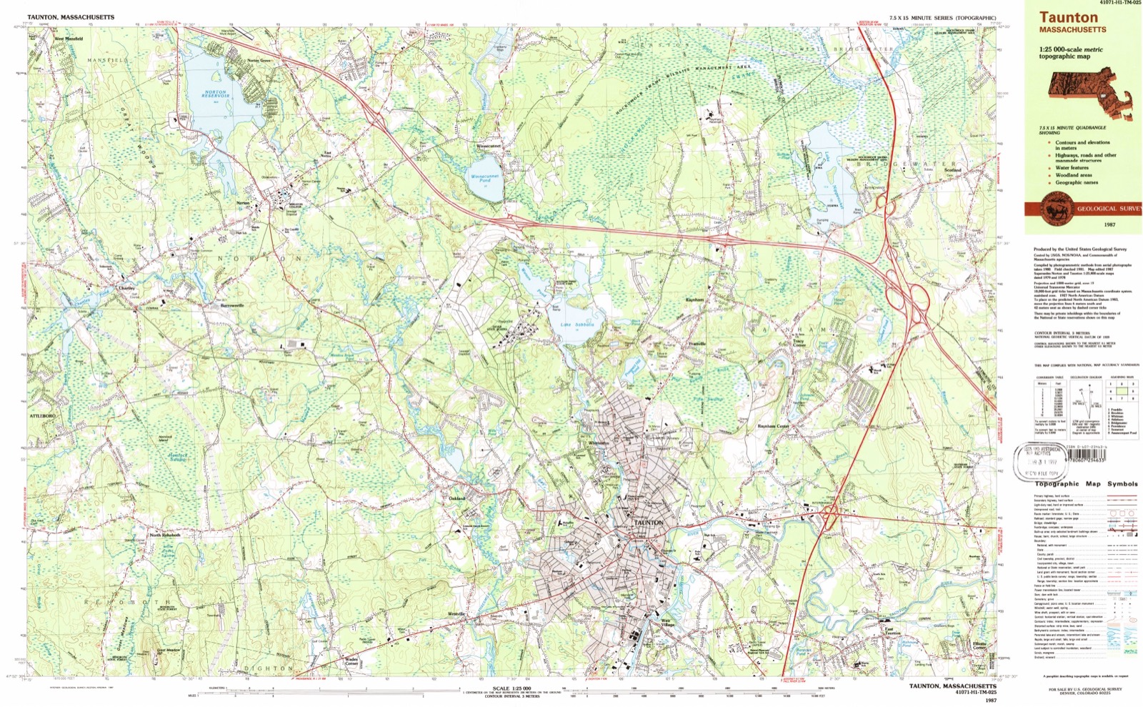
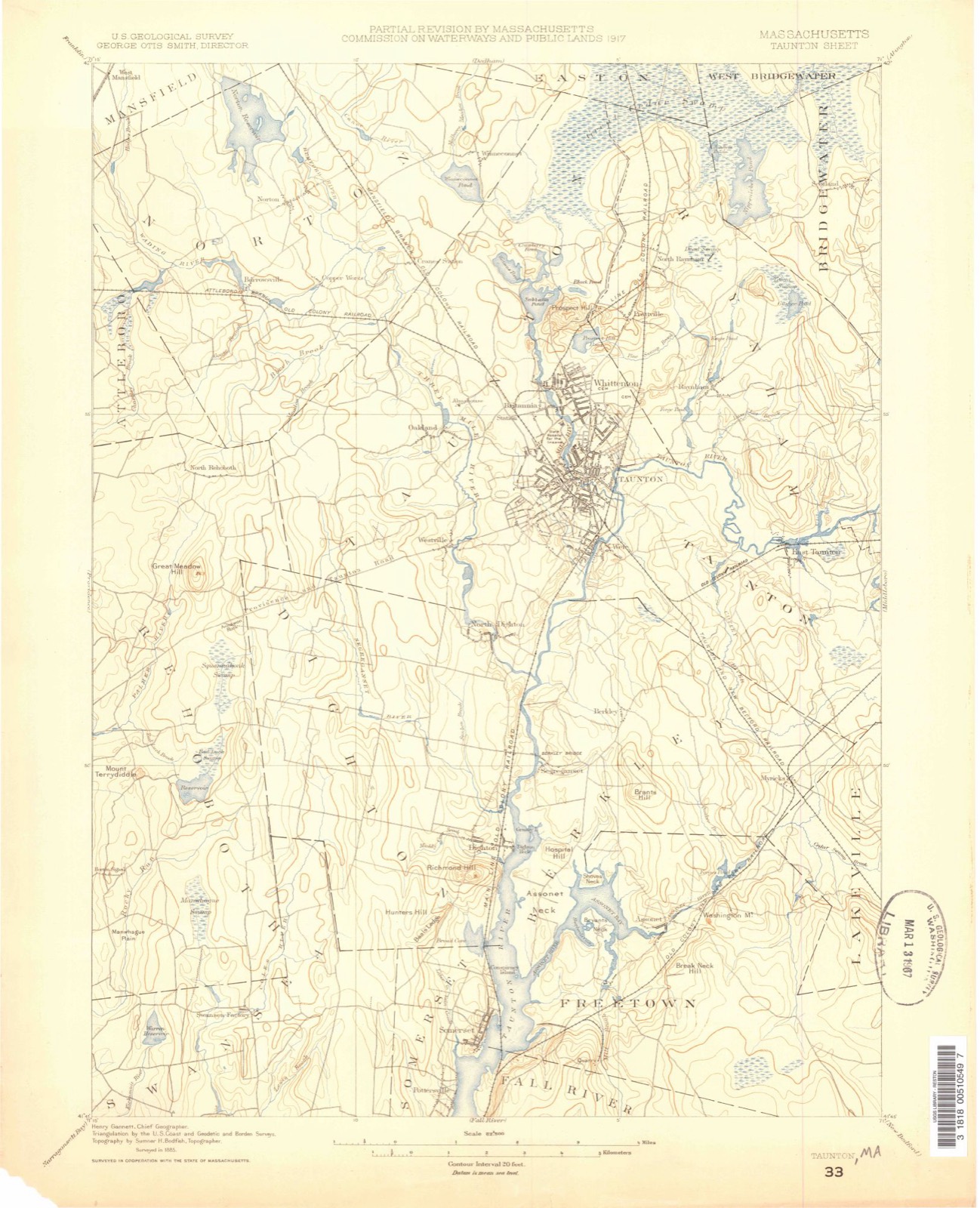
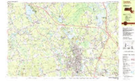
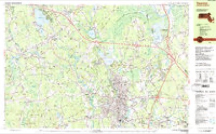
1885 to 1987The same ground, surveyed 102 years apart. Drag the handle to wipe between them. Both sheets are United States Geological Survey originals; neither has been altered.
Topographic sheets covering this place
33 sheetsMatched by testing this settlement's coordinate against the published boundary of every sheet in the United States Geological Survey's historical collection. Each opens the scanned sheet at the Survey.
- 1885 USGS Taunton quadrangle1:62500
- 1888 USGS Taunton quadrangle1:62500
- 1893 USGS Taunton quadrangle1:62500
- 1893 USGS Taunton quadrangle1:62500
- 1893 USGS Taunton quadrangle1:62500
- 1893 USGS Taunton quadrangle1:62500
- 1893 USGS Taunton quadrangle1:62500
- 1893 USGS Taunton quadrangle1:62500
- 1893 USGS Taunton quadrangle1:62500
- 1918 USGS Taunton quadrangle1:62500
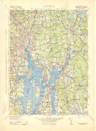
- 1943 USGS Providence quadrangle1:125000
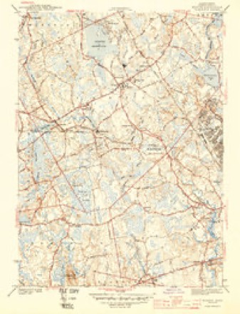
- 1944 USGS Norton quadrangle1:31680
- 1944 USGS Norton quadrangle1:31680
- 1947 USGS Providence quadrangle1:250000
- 1947 USGS Providence quadrangle1:250000
- 1947 USGS Providence quadrangle1:250000
- 1947 USGS Providence quadrangle1:250000
- 1947 USGS Providence quadrangle1:250000
- 1948 USGS Providence quadrangle1:250000
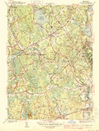
- 1951 USGS Norton quadrangle1:31680
- 1951 USGS Norton quadrangle1:31680
- 1951 USGS Norton quadrangle1:24000
- 1957 USGS Providence quadrangle1:250000
- 1958 USGS Providence quadrangle1:250000
- 1963 USGS Providence quadrangle1:250000
- 1964 USGS Norton quadrangle1:25000
- 1964 USGS Norton quadrangle1:24000
- 1964 USGS Norton quadrangle1:24000
- 1977 USGS Norton quadrangle1:25000
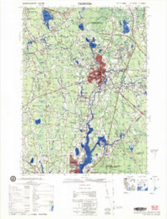
- 1979 USGS Taunton quadrangle1:50000
- 1984 USGS Providence quadrangle1:100000
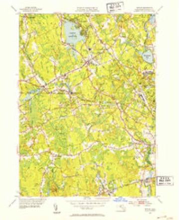
- 1987 USGS Taunton quadrangle1:25000
- 1987 USGS Taunton quadrangle1:25000









What happened here
An account from the chapter on Taunton city, The inset identifies its exact source book and publication year.
The Weather
How all the people are enjoying this nice weather we are having! Real summer weather. But to the farmers, or some in certain lines of farming, this moderate weather is "not so good." These premature samples of springtime are unfortunate, especially for the peach orchardist. As every groWar knows, peach trees are susceptible to cold weather, and if it does grow very cold again, and there is every likelihood of it, there will be much wood killed and a very small fruit yield in our section this coming season.
In the county-history sources
195,005 words on this townshipHistory of Bristol County, Massachusetts, with Biographical Sketches of Many of Its Pioneers and Prominent Men, published 1883 names this settlement in its chapter on Taunton City. These are the passages that mention it, exactly as the scans read.
The original church building of this parish was on the glebe, in Oakland, West Taunton. It is remembered to have been there till 1815, when it was blown down in the September gale of that year and never rebuilt. The sacred inclosure, where He the buried dead, marks the spot which should be held dear by the flourishing St. Thomas' Church, who now worship in a costly stone edifice elsewhere. The glebe was conveyed to the wardens of the church and their associates by deed bearing date March 19, 1743. It was purchased by subscription " for the sole benefit and profit of the Rector, for the time being, of St. Thomas, standing near Three-Mile River, in Taunton." The subscribers to the glebe were twenty-six, to the amount of £528 10s. Thomas Cobb was the largest donor, his subscription amounting to £120. Rev. John Lyon was the " first resident minister." There were occasional supplies, of whom Rev. John Graves is mentioned. Mr. Lyon's first recorded baptism was in 1765, but he may have begun labor earlier. The people paid him his salary " to his good acceptance" we are told, an example of promptness which was needed in those times.
Passage source: History of Bristol County, Massachusetts, with Biographical Sketches of Many of Its Pioneers and Prominent Men, published 1883.
The Oakland Union and Arlington Street Society and Sabbath-School. - Beside the regularly organized churches in the city, there are union meetings sustained, as at Oakland and Arlington Street Chapel. There was once a Six-Principle Baptist Church in that part of Taunton called Oakland, organized in Rehoboth in 1789, but removed to Taunton on the death of Elder Round, in 1824, and worshiped in a school-house. In 1840, Rev. Josephus W. Horton became their minister, and a small meeting-house was built. Mr. Chesbrough, connected with the Oakland Mill, was instrumental also in building a small chapel where Episcopal services were held. Both these meetings in time were discontinued, and in 1874 what was called the Oakland Union was organized, uniting most of the Christian elements, and sustaining with a good measure of success a Sabbath-school and a regular Sabbath preaching service by the different ministers of the city. The officers of the union the present year are, George T. Bullock, president; L. L. Short, vice-president; J. Gegenheimer, secretary; John Willis, treasurer; Joseph S. Tidd, Alfred Stall, Oliver H. Crossman, S. L. Reed, E. 0. Wilmarth, Lorenzo Bushee, Alfred Wilmarth, executive committee; Allen Burt, trustee for three years.
Passage source: History of Bristol County, Massachusetts, with Biographical Sketches of Many of Its Pioneers and Prominent Men, published 1883.
He purchased the old cutting-mill dam and privilege, with surrounding land, ravine, and rocks, of the heirs of Samuel Leonard. Then he purchased the old Leonard & Dean slitting-mill, and saw-mill dam and privilege above, to enable him to make back flowage without damage, and then raised the dam ten feet. With the aid and experience of Silas Shepard and Samuel Crocker he erected a cotton-factory (stone and brick) one hundred feet in length, completing it the season of 1818. The basement was a machine-shop and nail-factory, and in the upper stories looms and cotton machinery. In 1821 another mill was built, near the dam, about the same size, both containing about one hundred and fifty looms. Some years later an addition was built, connecting the Mills, for a weave-shop. Silas Shepard had the superintendence, until he left for building his Oakland Mill in 1827, and was succeeded by Ezekiel B. Leonard and Elisha Copeland. Elias Strange had charge of the machineand nail-shop before he removed to the brick mill. Horatio Leonard & Co. built a small rolling-mill at the west end of the dam, under the brow of the hill (now hospital farm), which was operated a few years, when the machinery was disposed of.
Passage source: History of Bristol County, Massachusetts, with Biographical Sketches of Many of Its Pioneers and Prominent Men, published 1883.
Machine-read from a century-old scan, so expect the errors a machine makes: misspelled names, dropped words, stray characters.
Read the whole chapter on Taunton City - it names this place 11 more 11 times.
Fires near this place
63 since 2003Regional context, not property-specific evidence. The federal wildfire occurrence database lists 63 fires within 5 miles of Oakland between 2003 and 2020, burning about 53 acres in total. 1 started naturally. 1 was recorded as arson. Distance is straight-line from the map coordinates, so a fire counted here may appear on a neighbouring settlement's page as well.
| Reported cause | Fires |
|---|---|
| Missing data/not specified/undetermined | 30 |
| Debris and open burning | 14 |
| Smoking | 7 |
| Recreation and ceremony | 5 |
| Fireworks | 2 |
| Arson/incendiarism | 1 |
| Power generation/transmission/distribution | 1 |
| Misuse of fire by a minor | 1 |
| Equipment and vehicle use | 1 |
| Natural | 1 |
The most recent of them, most recent first, with the day each was reported and the service that recorded it.
| Date | Cause | Size | Reported by | Name on the report |
|---|---|---|---|---|
| 16 September 2015 | Missing data/not specified/undetermined | under an acre | Massachusetts Bureau of Forest Fire Control | not named |
| 3 August 2020 | Debris and open burning | under an acre | Massachusetts Bureau of Forest Fire Control | not named |
| 28 August 2007 | Recreation and ceremony | under an acre | Massachussetts State Fire Marshal's Office | not named |
| 13 August 2006 | Missing data/not specified/undetermined | under an acre | Massachussetts State Fire Marshal's Office | not named |
| 13 August 2006 | Missing data/not specified/undetermined | under an acre | Massachussetts State Fire Marshal's Office | not named |
| 11 August 2020 | Misuse of fire by a minor | under an acre | Massachusetts Bureau of Forest Fire Control | not named |
| 10 August 2020 | Missing data/not specified/undetermined | under an acre | Massachusetts Bureau of Forest Fire Control | not named |
| 10 August 2020 | Recreation and ceremony | under an acre | Massachusetts Bureau of Forest Fire Control | not named |
Settlements close enough to share some of these fires:
Specimens collected near this place
12 of 1,271 shownRegional context, not property-specific evidence. Museums hold 1,271 specimens collected within 10 miles of Oakland between 1855 and 1975: 867 Animalia, 327 Plantae, 70 Fungi, 6 Chromista, 1 Unrecorded. 12 distinct Species records are shown. Collected by ?, A E Schuyler, A. A. Eaton and others. Each is a physical object with a catalogue number, and each entry opens the museum's record. This is what was collected and kept, not a survey of what lives here - nothing can be concluded from a species being absent.
| Image | Species | Year | Collected by | Where, as recorded |
|---|---|---|---|---|
 | Apocynum cannabinum L. | 1855 | F. C. Seymour | Rehoboth |
 | Astur Lacepède, 1799 | 1860 | C. D. Lincoln | Taunton |
 | Carex panicea L. | 1863 | J. H. Dean | |
 | Carex L. | 1864 | J. H. Dean | Taunton. |
 | Carex vulpinoidea Michx. | 1864 | J. H. Dean | |
 | Hypoxis hirsuta (L.) Coville | 1874 | not recorded | |
 | Chelidonium majus L. | 1875 | not recorded | |
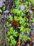 | Lygodium palmatum (Bernh.) Sw. | 1875 | not recorded | |
 | Berberis vulgaris L. | 1876 | not recorded | |
 | Empidonax minimus (W.M.Baird & S.F.Baird, 1843) | 1877 | C.P. Snow | Taunton, North |
 | Chaetura pelagica (Linnaeus, 1758) | 1878 | C. F. Snow | MASSACHUSETTS: Bristol County; Taunton |
 | Coccyzus erythropthalmus (A.Wilson, 1811) | 1878 | not recorded | Taunton |
All 1,271 specimens within 10 miles, at the Global Biodiversity Information Facility.
Mines and quarries near this place
10 of 12 shownRegional context, not property-specific evidence. The federal mineral resources record lists 12 workings within 5 miles of Oakland: 7 past producers, 4 producers, 1 unknown. 4 still produce. What was taken out: Sand and Gravel, Construction, Stone, Crushed/Broken. Distance is straight-line from the map coordinates, so a quarry counted here may appear on a neighbouring settlement's page as well.
| Where | Site | Commodity | Status | Recorded |
|---|---|---|---|---|
| Taunton Plant | Stone, Crushed/Broken | Producer | ||
| Allen R. Nelson Pit | Sand and Gravel, Construction | Past Producer | ||
| Gary Nelson Excavating Co | Sand and Gravel, Construction | Past Producer | Sedimentary | |
| King Trucking Pit | Sand and Gravel, Construction | Producer | ||
| Landfill Pit | Sand and Gravel, Construction | Past Producer | ||
| Mc Cabe Sand and Gravel Co | Sand and Gravel, Construction | Past Producer | Sedimentary | |
| Mccabe Sand & Gravel Pit | Sand and Gravel, Construction | Unknown | ||
| Mccabe Sand and Gravel Company Pit | Sand and Gravel, Construction | Producer | ||
| Pine Street Pit | Sand and Gravel, Construction | Past Producer | ||
| Raynham Pit | Sand and Gravel, Construction | Past Producer |
Storms near this place
2 since 2009Regional context, not property-specific evidence. The National Weather Service names Oakland in 2 storm reports between 2009 and 2020: 1 hail, 1 thunderstorm wind. No death or injury is recorded in these reports. Each account below is quoted exactly as the forecast office filed it, from the NOAA Storm Events Database, and each date opens the federal record of that event.
Nearest settlements
The eight closest, with where each one stands in the county. Distances are straight-line, computed from the Geographic Names Information System coordinates.
| Map | Place | Distance | Sheets |
|---|---|---|---|
| Whittenton Junction | 1.4 miles | 33 | |
| Westville | 1.7 miles | 33 | |
| Britanniaville | 1.8 miles | 33 | |
| Norton Furnace (historical) | 2.2 miles | 33 | |
| Meadow Brook | 2.4 miles | 33 | |
| Whittenton | 2.5 miles | 33 | |
| Taunton | 2.7 miles | 33 | |
| Wades Corner | 2.7 miles | 33 |
Provenance
This settlement is recorded in the Geographic Names Information System as feature 612503. The sheet list is computed by point-in-boundary test against the United States Geological Survey's historical topographic inventory. Both are works of the United States government and carry no copyright under 17 U.S.C. 105.
Wildfire. Short, Karen C. 2022. Spatial wildfire occurrence data for the United States, 1992-2020 [FPA_FOD_20221014]. 6th Edition. Fort Collins, CO: Forest Service Research Data Archive. https://doi.org/10.2737/RDS-2013-0009.6 Collected with United States Government funding and usable without additional permissions or fees.
Specimens. Global Biodiversity Information Facility (GBIF), https://www.gbif.org/. Only records licensed CC0 or CC BY are used. Records licensed CC BY-NC are excluded because this site carries advertising. Images are checked individually and any whose licence is non-commercial, no-derivatives or unreadable is refused.
Mines and quarries. USGS Mineral Resources Data System (MRDS) https://mrdata.usgs.gov/mrds/ A work of the United States government, no copyright under 17 U.S.C. 105.
Storms. NOAA National Centers for Environmental Information, Storm Events Database https://www.ncei.noaa.gov/stormevents/ A work of the United States government, no copyright under 17 U.S.C. 105. Narratives are quoted verbatim from the National Weather Service report and are not edited or summarised.