 Block
Block
Otis, Massachusetts
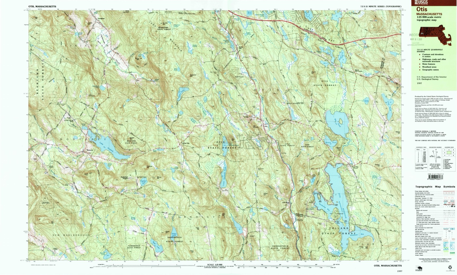
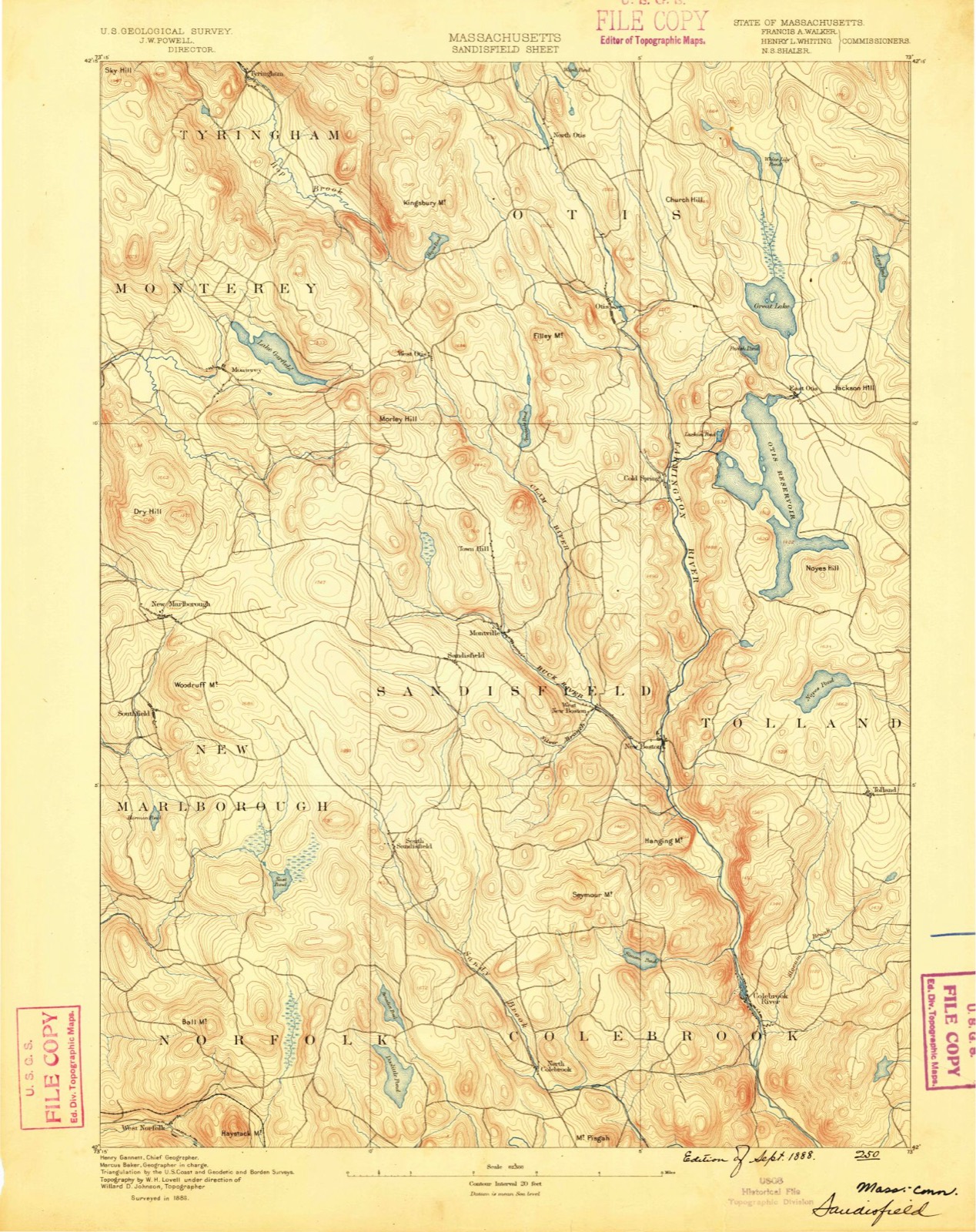
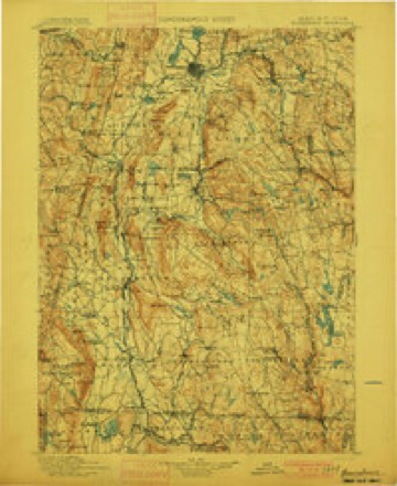
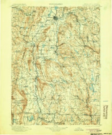
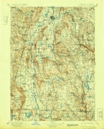
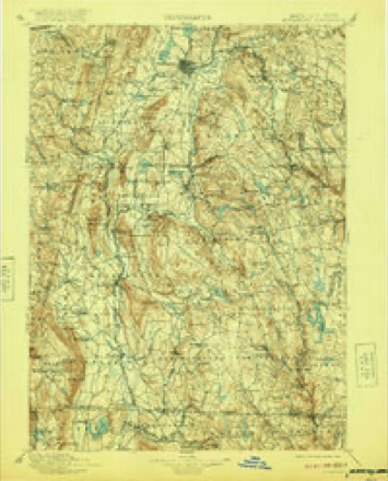
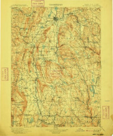
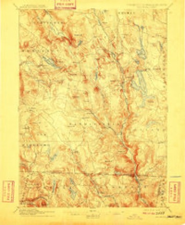
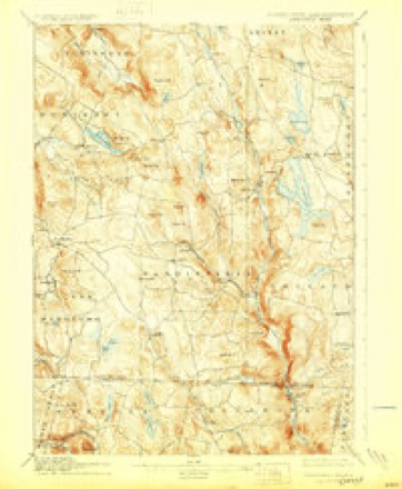
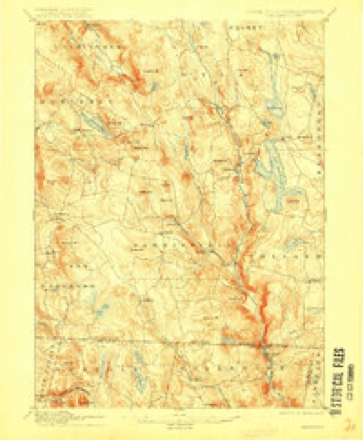
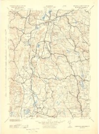
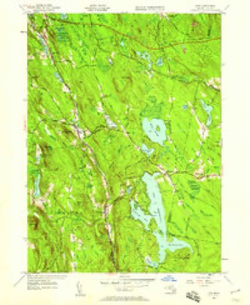
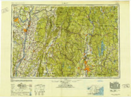
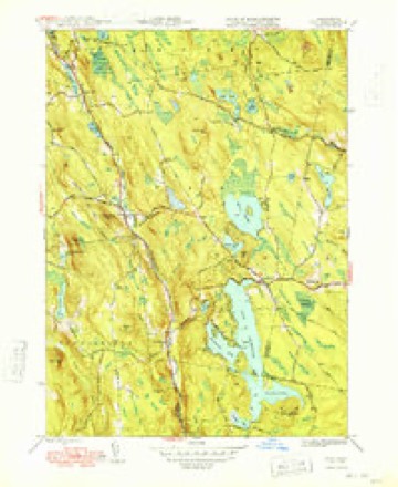
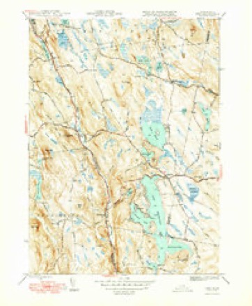
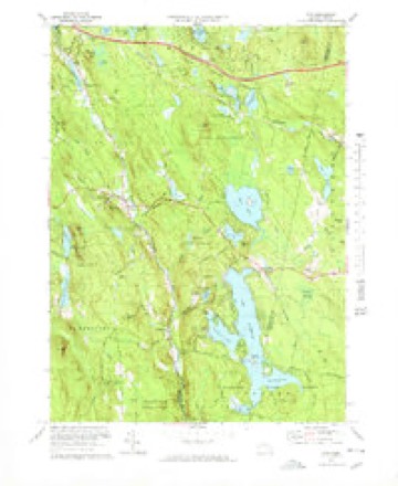
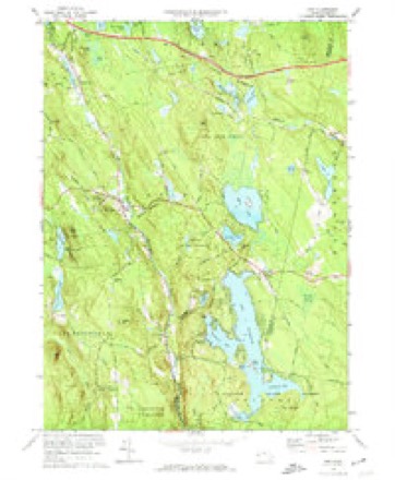
37 topographic sheets cover this place, the earliest surveyed in 1888 and the latest in 1997. It stands in Otis town. It lies in ZIP code area 01253. It stands on Dimmock Brook. The Survey maps it on the Otis quadrangle.
Then and now
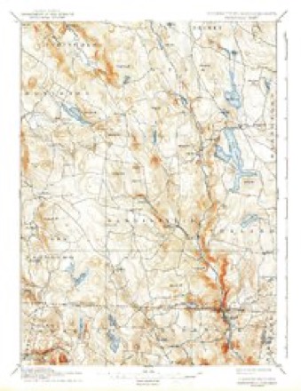
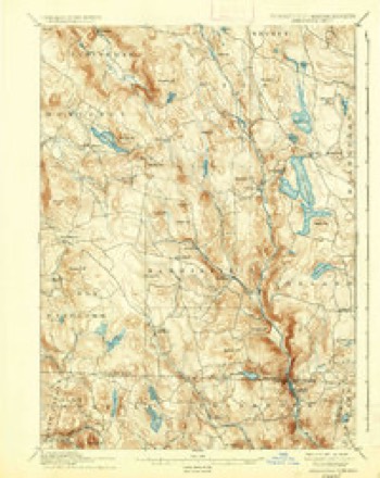
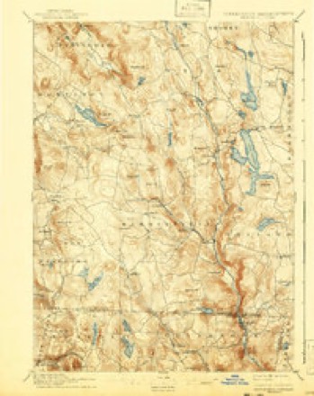
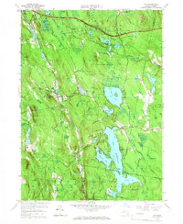
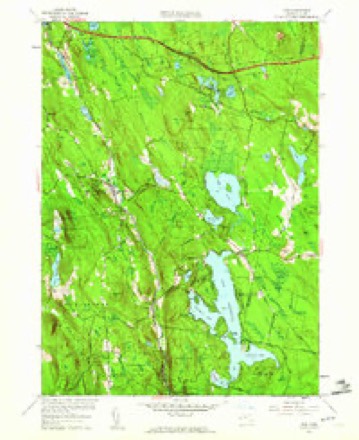
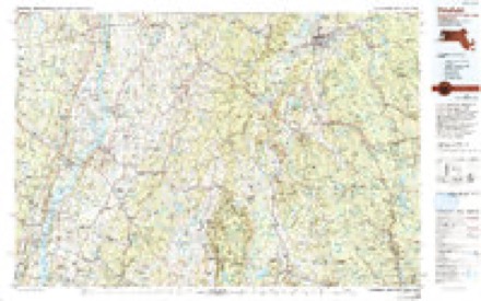
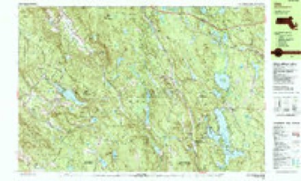
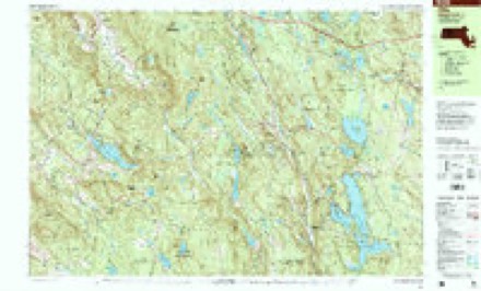
1888 to 1997The same ground, surveyed 109 years apart. Drag the handle to wipe between them. Both sheets are United States Geological Survey originals; neither has been altered.
Topographic sheets covering this place
37 sheetsMatched by testing this settlement's coordinate against the published boundary of every sheet in the United States Geological Survey's historical collection. Each opens the scanned sheet at the Survey.
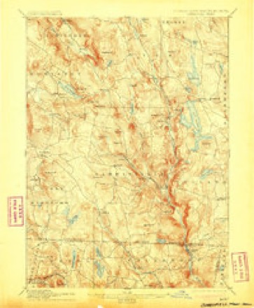
- 1888 USGS Sandisfield quadrangle1:62500
- 1893 USGS Sandisfield quadrangle1:62500
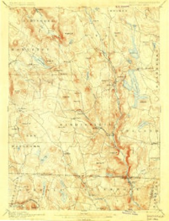
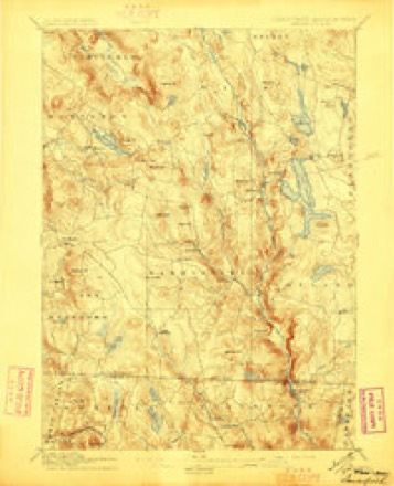
- 1897 USGS Sandisfield quadrangle1:62500
- 1897 USGS Sandisfield quadrangle1:62500
- 1897 USGS Sandisfield quadrangle1:62500
- 1897 USGS Sandisfield quadrangle1:62500
- 1897 USGS Sandisfield quadrangle1:62500
- 1897 USGS Sandisfield quadrangle1:62500
- 1897 USGS Sandisfield quadrangle1:62500
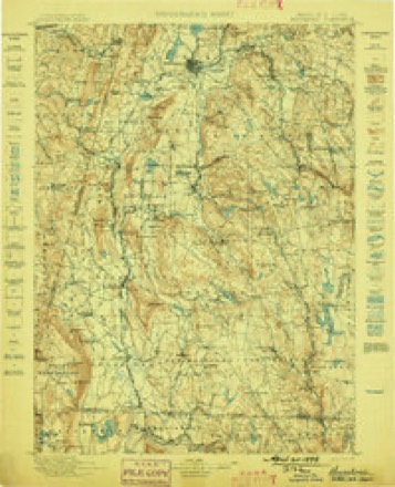
- 1899 USGS Housatonic quadrangle1:125000
- 1900 USGS Housatonic quadrangle1:125000
- 1900 USGS Housatonic quadrangle1:125000
- 1900 USGS Housatonic quadrangle1:125000
- 1900 USGS Housatonic quadrangle1:125000
- 1900 USGS Housatonic quadrangle1:125000
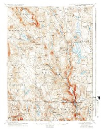
- 1907 USGS Sandisfield quadrangle1:62500
- 1907 USGS Sandisfield quadrangle1:62500
- 1907 USGS Sandisfield quadrangle1:62500
- 1943 USGS Housatonic quadrangle1:125000
- 1946 USGS Otis quadrangle1:24000
- 1948 USGS Albany quadrangle1:250000
- 1948 USGS Otis quadrangle1:31680
- 1948 USGS Otis quadrangle1:31680
- 1956 USGS Albany quadrangle1:250000
- 1956 USGS Albany quadrangle1:250000
- 1957 USGS Albany quadrangle1:250000
- 1958 USGS Otis quadrangle1:24000
- 1958 USGS Otis quadrangle1:24000
- 1959 USGS Albany quadrangle1:250000
- 1962 USGS Albany quadrangle1:250000
- 1973 USGS Otis quadrangle1:25000
- 1973 USGS Otis quadrangle1:24000
- 1975 USGS Otis quadrangle1:25000
- 1986 USGS Pittsfield quadrangle1:100000
- 1986 USGS Pittsfield quadrangle1:100000
- 1987 USGS Otis quadrangle1:25000
- 1997 USGS Otis quadrangle1:25000
Fires nearby
16 since 2015The federal wildfire occurrence database lists 16 fires within 5 miles of Otis between 2015 and 2019, burning about 7 acres in total. 1 started naturally. None was recorded as arson. Distance is straight-line from the map coordinates, so a fire counted here may appear on a neighbouring settlement's page as well.
| Reported cause | Fires |
|---|---|
| Debris and open burning | 6 |
| Recreation and ceremony | 4 |
| Missing data/not specified/undetermined | 3 |
| Natural | 1 |
| Equipment and vehicle use | 1 |
| Smoking | 1 |
The most recent of them, most recent first, with the day each was reported and the service that recorded it.
| Date | Cause | Size | Reported by | Name on the report |
|---|---|---|---|---|
| 9 September 2015 | Debris and open burning | under an acre | Massachusetts Bureau of Forest Fire Control | not named |
| 4 September 2016 | Recreation and ceremony | under an acre | Massachusetts Bureau of Forest Fire Control | not named |
| 13 September 2016 | Missing data/not specified/undetermined | under an acre | Massachusetts Bureau of Forest Fire Control | not named |
| 21 July 2019 | Recreation and ceremony | under an acre | Massachusetts Bureau of Forest Fire Control | not named |
| 7 May 2016 | Recreation and ceremony | under an acre | Massachusetts Bureau of Forest Fire Control | not named |
| 27 May 2016 | Natural | under an acre | Massachusetts Bureau of Forest Fire Control | not named |
| 17 May 2016 | Recreation and ceremony | under an acre | Massachusetts Bureau of Forest Fire Control | not named |
| 11 May 2016 | Missing data/not specified/undetermined | under an acre | Massachusetts Bureau of Forest Fire Control | not named |
Settlements close enough to share some of these fires:
Specimens collected nearby
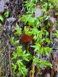
12 of 1,979 shownMuseums hold 1,979 specimens collected within 10 miles of Otis between 1872 and 1975: 1,157 Animalia, 685 Plantae, 134 Fungi, 2 Unrecorded, 1 Protozoa. 12 distinct Species records are shown. Collected by A. E. Treat, A. K. Harrison, A. M. Vail and others. Each is a physical object with a catalogue number, and each entry opens the museum's record. This is what was collected and kept, not a survey of what lives here - nothing can be concluded from a species being absent.
| Image | Species | Year | Collected by | Where, as recorded |
|---|---|---|---|---|
 | Lygodium palmatum (Bernh.) Sw. | 1872 | Miller, E.S. | East Hampton |
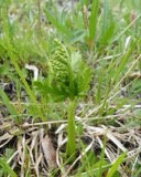 | Botrychium lanceolatum (S.G.Gmel.) Ångstr. | 1873 | S. M. Piper | |
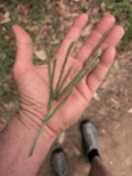 | Eleusine indica (L.) Gaertn. | 1874 | Frederick N. Pease | |
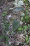 | Gentianella quinquefolia subsp. quinquefolia | 1875 | not recorded | |
 | Leucobryum glaucum (Hedw.) Ångstr. | 1877 | H. J. Biddlecome | Chester |
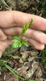 | Botrychium angustisegmentum (Pease & A.H.Moore) Fernald | 1879 | not recorded | |
 | Botrychium dissectum Spreng. | 1879 | not recorded | |
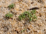 | Euphorbia polygonifolia L. | 1879 | not recorded | |
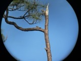 | Chordeiles minor minor (J.R.Forster, 1771) | 1883 | Collector(s): H. C. Johnson | near New Marlboro |
| Baeomyces roseus Pers. | 1895 | George T. Moore | Chestnut Hill | |
 | Acer saccharum Marshall | 1897 | Vail, A.M. | Tyringham |
 | Acer spicatum Lam. | 1897 | Vail, A.M. | Vicinity of Tyringham |
All 1,979 specimens within 10 miles, at the Global Biodiversity Information Facility.
Mines and quarries nearby
2 within 5 milesThe federal mineral resources record lists 2 workings within 5 miles of Otis: 1 past producer, 1 producer. 1 still produces. What was taken out: Granite. Distance is straight-line from the map coordinates, so a quarry counted here may appear on a neighbouring settlement's page as well.
| Where | Site | Commodity | Status | Recorded |
|---|---|---|---|---|
| Berkshire Quarry | Granite | Producer | ||
| Williams Stone Co | Granite | Past Producer | Granite |
Storms nearby
37 since 1994The National Weather Service names Otis in 37 storm reports between 1994 and 2025: 19 thunderstorm wind, 12 hail, 3 flash flood, 1 tornado. The reports record 1 death. Each account below is quoted exactly as the forecast office filed it, from the NOAA Storm Events Database, and each date opens the federal record of that event.
| When | Event | Place named | Harm | What the report says |
|---|---|---|---|---|
| July 1995 | Thunderstorm Wind | Otis | 1 killed | no account filed |
| July 1997 | Tornado (F2) | West Otis | $1,500,000 | no account filed |
| November 1997 | Thunderstorm Wind | Otis | $8,000 | During the afternoon of November 4, a line of showers and embedded thunderstorms crossed western Massachusetts. At Otis, a thunderstorm downed several trees and ripped shingles off the roof of a home. |
| May 2002 | Thunderstorm Wind | Otis | $8,000 | no account filed |
| July 1997 | Hail | West Otis | $4,000 | no account filed |
| August 2017 | Lightning | East Otis | $1,000 | A tree was on fire on Rainbow Street. |
| September 2025 | Thunderstorm Wind | East Otis | - | Numerous trees were downed near Otis including on Tolland Road, Reservoir Road and Pine Road. |
| July 2022 | Thunderstorm Wind | East Otis | - | A tree was reported down on wires. |
| July 2022 | Thunderstorm Wind | East Otis | - | A tree was reported down across West Shore Road. |
| July 2022 | Thunderstorm Wind | Otis | - | Unknown equipment was used to measure. |
| July 2021 | Thunderstorm Wind | North Otis | - | Several trees were downed near Otis. |
| July 2021 | Flash Flood | North Otis | - | Law enforcement reported Werden Road flooded near an egg farm. |
| July 2021 | Flash Flood | North Otis | - | West Center Road was flooded with some rocks and debris left behind. |
| July 2021 | Flash Flood | North Otis | - | West Center Road was flooded with some rocks and debris left behind. |
| July 2020 | Thunderstorm Wind | Otis | - | A tree was uprooted and fell onto a sugar house. |
| July 2020 | Thunderstorm Wind | Otis | - | A window was broken due to flying debris. |
| May 2019 | Thunderstorm Wind | Otis | - | Trees were downed on South Main Street. |
| February 2017 | Thunderstorm Wind | Otis | - | Trees and wires were down along Route 23. |
| September 2016 | Thunderstorm Wind | North Otis | - | A tree was down on wires near North Otis due to thunderstorm winds. The tree caught on fire as a result of the downed wires. |
| July 2014 | Hail | Otis | - | Quarter size hail was reported during a thunderstorm in Otis. |
| July 2014 | Thunderstorm Wind | North Otis | - | A large tree and wires were downed on Becket Road in Becket due to thunderstorm winds. |
| June 2011 | Thunderstorm Wind | North Otis | - | Trees were reported down in North Otis due to strong thunderstorm winds. |
| March 2010 | Flood | North Otis | - | Route 8 was reported closed due to ice chunks in the road left over from an ice jam that broke on the West Branch of the Farmington River. The road was reopened after the ice chunks were cleared. |
| June 2008 | Hail | North Otis | - | Quarter size hail was reported in North Otis during a thunderstorm. |
| July 2008 | Thunderstorm Wind | Otis | - | Numerous trees were reported down on Route 8 in Otis during a thunderstorm. In addition, quarter size hail was also reported during this thunderstorm. |
| August 2008 | Hail | Otis | - | Penny size hail was reported near Otis during a thunderstorm. |
| June 2008 | Thunderstorm Wind | Otis | - | Numerous trees were reported down near Otis due to strong thunderstorm winds.||A National Weather Service Storm Survey Team determined that straight line winds within a thunderstorm snapped and uprooted numerous trees, with peak winds estimated between 85 and 105 mph. |
| June 2008 | Hail | Otis | - | Nickel to quarter size hail was reported in Otis during a thunderstorm. The hail initially was nickel size at approximately 2047 EST, then increased to quarter size at 2051 EST. |
| July 2008 | Hail | Otis | - | Quarter size hail was reported on Route 8 in Otis during a thunderstorm. In addition, numerous trees were reported down from strong thunderstorm winds. |
| September 2008 | Hail | East Otis | - | Penny size hail fell near East Otis during a thunderstorm. |
| September 2008 | Hail | East Otis | - | Nickel size hail fell during a thunderstorm near East Otis. |
| May 2007 | Hail | Otis | - | Quarter size hail was reported during a thunderstorm in Otis. |
| August 2007 | Thunderstorm Wind | Otis | - | Two small trees were reported down due to strong thunderstorm winds in Otis. One tree was estimated at approximately 2 feet in diameter. |
| July 2020 | Hail | Otis | - | no account filed |
| May 2004 | Hail | West Otis | - | no account filed |
| July 2003 | Thunderstorm Wind | West Otis | - | no account filed |
| July 1994 | Hail | West Otis | - | no account filed |
Nearest settlements
The eight closest, with where each one stands in the county. Distances are straight-line, computed from the Geographic Names Information System coordinates.
| Map | Place | Distance | Sheets |
|---|---|---|---|
| Otis Wood Lanes | 0.7 miles | 37 | |
| North Otis | 2.8 miles | 37 | |
| Cold Spring | 2.8 miles | 37 | |
| West Otis | 3.0 miles | 38 | |
| East Otis | 3.3 miles | 37 | |
| Algerie Four Corners | 3.7 miles | 37 | |
| Indian Lake Estates | 4.7 miles | 37 | |
| Bonny Rigg Corners | 5.3 miles | 37 |
Provenance
This settlement is recorded in the Geographic Names Information System as feature 608079. The sheet list is computed by point-in-boundary test against the United States Geological Survey's historical topographic inventory. Both are works of the United States government and carry no copyright under 17 U.S.C. 105.
Wildfire. Short, Karen C. 2022. Spatial wildfire occurrence data for the United States, 1992-2020 [FPA_FOD_20221014]. 6th Edition. Fort Collins, CO: Forest Service Research Data Archive. https://doi.org/10.2737/RDS-2013-0009.6 Collected with United States Government funding and usable without additional permissions or fees.
Specimens. Global Biodiversity Information Facility (GBIF), https://www.gbif.org/. Only records licensed CC0 or CC BY are used. Records licensed CC BY-NC are excluded because this site carries advertising. Images are checked individually and any whose licence is non-commercial, no-derivatives or unreadable is refused.
Mines and quarries. USGS Mineral Resources Data System (MRDS) https://mrdata.usgs.gov/mrds/ A work of the United States government, no copyright under 17 U.S.C. 105.
Storms. NOAA National Centers for Environmental Information, Storm Events Database https://www.ncei.noaa.gov/stormevents/ A work of the United States government, no copyright under 17 U.S.C. 105. Narratives are quoted verbatim from the National Weather Service report and are not edited or summarised.