 Block
Block
Oxtoby, Ohio
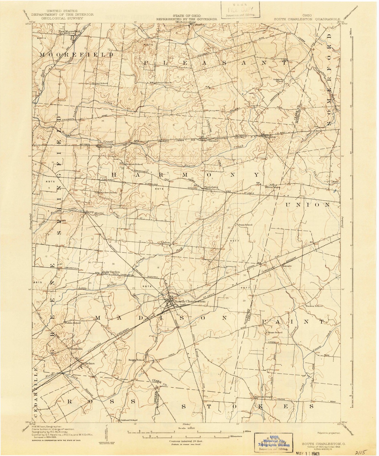
14 topographic sheets cover this place, the earliest surveyed in 1907 and the latest in 1986. It stands in Harmony Township. It lies in ZIP code area 45502. The Survey maps it on the New Moorefield quadrangle. The federal gazetteer marks this settlement historical: it is no longer a populated place, though the surveys that recorded it still are.
Then and now
1907 to 1986The same ground, surveyed 79 years apart. Drag the handle to wipe between them. Both sheets are United States Geological Survey originals; neither has been altered.

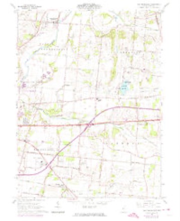
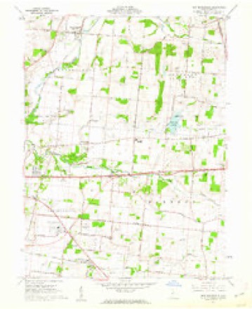
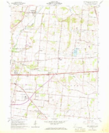
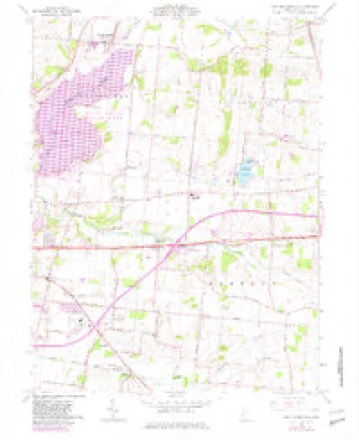
Topographic sheets covering this place
14 sheetsMatched by testing this settlement's coordinate against the published boundary of every sheet in the United States Geological Survey's historical collection. Each opens the scanned sheet at the Survey.
- 1907 USGS South Charleston quadrangle1:62500
- 1907 USGS South Charleston quadrangle1:62500
- 1947 USGS Columbus quadrangle1:250000
- 1961 USGS Columbus quadrangle1:250000
- 1961 USGS New Moorefield quadrangle1:24000
- 1961 USGS New Moorefield quadrangle1:24000
- 1961 USGS New Moorefield quadrangle1:24000
- 1961 USGS New Moorefield quadrangle1:24000
- 1961 USGS New Moorefield quadrangle1:24000
- 1962 USGS Columbus quadrangle1:250000
- 1967 USGS Columbus quadrangle1:250000
- 1967 USGS Columbus quadrangle1:250000
- 1986 USGS Springfield quadrangle1:100000
- 1986 USGS Springfield quadrangle1:100000







In the county-history sources
50,366 words on this townshipThe History of Clark County Ohio,, published 1881 names this settlement in its chapter on Harmony Township. These are the passages that mention it, exactly as the scans read.
John Judy, Sr, was born in Basle, Switzerland, about 1760. He came to America at the age of ten, with his father's family, who settled on the south branch of the Potomac. He came to Kentucky at the age of twenty-two, and married Phoebe Lamaster. About 1794, he came to what is now Greene County, Ohio, and about the year 1800 he came into the territory of what is now Harmony Township, and settled two miles east of the present site of Plattsburg, now the farm of Matthew Bonner. Here he reared a family of children. About 1831, he removed to Union County, Ohio, where he died at an advanced age. j The Turner brothers, Thomas, James, Robert, William, David and Samuel, were settlers near the Madison County line. coming into the township in about the year 1808. They were natives of Maryland. They took an active interest in the organization of the township. Robert served as a Justice of the Peace and as County Commissioner. Their descendants are among the prominent cit. izens of Union County. 'There was not a black sheep in the flock."
Passage source: The History of Clark County Ohio,, published 1881.
Fletcher Chapel is one of the oldest burial-places of the township, and the dead here perhaps number two hundred, among whom are the names of many whose descendants have figured prominently in publie life throughout the land. -Laybourn's is a small and somewhat private lot on Section 29, and on the road leading from Harmony to Plattsburg.
Passage source: The History of Clark County Ohio,, published 1881.
The Odd Fellows' buildiug, on the north side of West Main street, was erected about 1550, and remodeled by that order about the year 1870, and the upper story has been occupied by them for many years. The brick storeroom on Lot No. 7 was built by W. S. Funston in 1849. It was demolished by an accidental explosion of powder on the 8th day of August, 1871, it being then occupied by James Bennett. It was rebuilt the same year. In this accident, George Hinkle, David Johnson, Henry Campbell, A. H. Clark, Armsted Tavenner, Henry Baldwin, Nancy Ann Smith, Valentine Nicely and Absalom Gordon were seriously injured.
Passage source: The History of Clark County Ohio,, published 1881.
Machine-read from a century-old scan, so expect the errors a machine makes: misspelled names, dropped words, stray characters.
Read the whole chapter on Harmony Township - it names this place 5 more 5 times.
Fires near this place
1 since 2002Regional context, not property-specific evidence. The federal wildfire occurrence database lists 1 fire within 5 miles of Oxtoby (historical) between 2002 and 2002, burning about 15 acres in total. None started naturally. None was recorded as arson. Distance is straight-line from the map coordinates, so a fire counted here may appear on a neighbouring settlement's page as well.
| Reported cause | Fires |
|---|---|
| Missing data/not specified/undetermined | 1 |
The most recent of them, most recent first, with the day each was reported and the service that recorded it.
| Date | Cause | Size | Reported by | Name on the report |
|---|---|---|---|---|
| 21 August 2002 | Missing data/not specified/undetermined | 15 acres | Ohio State Fire Marshal's Office | not named |
Settlements close enough to share some of these fires:
Specimens collected near this place
12 of 754 shownRegional context, not property-specific evidence. Museums hold 754 specimens collected within 10 miles of Oxtoby (historical) between 1840 and 1974: 480 Animalia, 218 Plantae, 56 Fungi. 12 distinct Species records are shown. Collected by 73.7; J.H., A. Barron, A. N. Leeds and others. Each is a physical object with a catalogue number, and each entry opens the museum's record. This is what was collected and kept, not a survey of what lives here - nothing can be concluded from a species being absent.
| Image | Species | Year | Collected by | Where, as recorded |
|---|---|---|---|---|
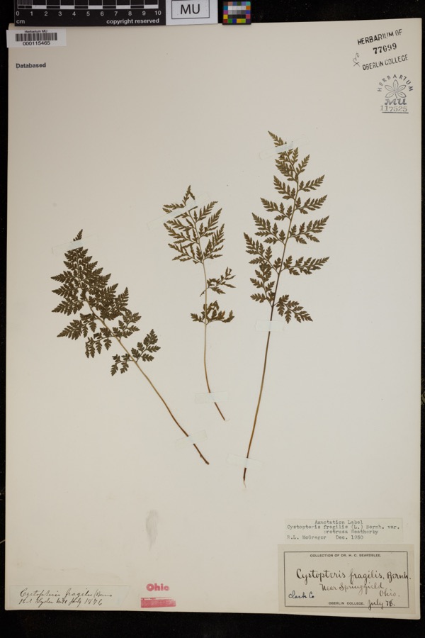 | Cystopteris protrusa (Weath.) Blasdell | 1878 | Beardslee, H.C. | near Springfield |
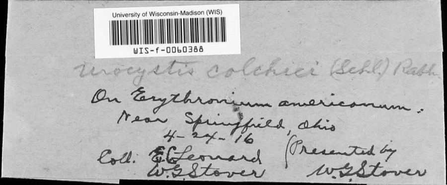 | Urocystis colchici (Schltdl.) Rabenh. | 1916 | W.G. Stover; E.C. Leonard | near Springfield |
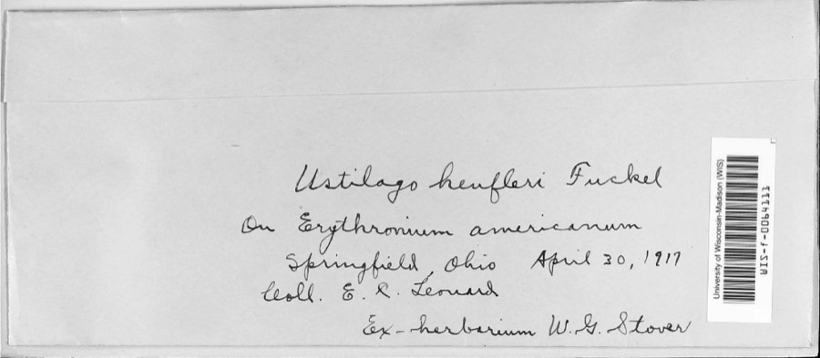 | Ustilago heufleri Fuckel | 1917 | E.R. Leonard | |
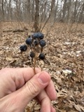 | Caulophyllum thalictroides (L.) Michx. | 1840 | Williams, M.G. | Springfield |
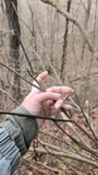 | Staphylea trifolia L. | 1840 | Williams, M.G. | Springfield |
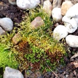 | Funaria hygrometrica Hedw. | 1846 | not recorded | Springfield |
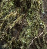 | Bryhnia graminicolor (Brid.) Grout | 1870 | J. W. Eckfeldt | near Springfield |
 | Bryum pseudotriquetrum var. bimum (Schreb.) Lilj. | 1870 | J. W. Eckfeldt | Springfield |
 | Hygroamblystegium tenax subsp. orthocladon (P.Beauv.) Wijk & Margad. | 1870 | J. W. Eckfeldt | Springfield |
 | Schwetschkeopsis denticulata (Sull.) Broth. | 1870 | J. W. Eckfeldt | Springfield |
 | Amblystegium serpens var. angustifolium H.Lindb. ex Limpr. | 1871 | H. J. Biddlecome | Springfield |
 | Asterella tenella (L.) P.Beauv. | 1871 | Hannah J. Biddlecome | Springfield |
All 754 specimens within 10 miles, at the Global Biodiversity Information Facility.
Mines and quarries near this place
4 within 5 milesRegional context, not property-specific evidence. The federal mineral resources record lists 4 workings within 5 miles of Oxtoby (historical): 3 past producers, 1 producer. 1 still produces. What was taken out: Sand and Gravel, Construction. Distance is straight-line from the map coordinates, so a quarry counted here may appear on a neighbouring settlement's page as well.
| Where | Site | Commodity | Status | Recorded |
|---|---|---|---|---|
| Springfield Pit | Sand and Gravel, Construction | Past Producer | Sedimentary | |
| Springfield Pit | Sand and Gravel, Construction | Past Producer | ||
| Springfield Sand and Gravel Pit | Sand and Gravel, Construction | Past Producer | Sedimentary | |
| Springfield Sand and Gravel Pit | Sand and Gravel, Construction | Producer |
Nearest settlements
The eight closest, with where each one stands in the county. Distances are straight-line, computed from the Geographic Names Information System coordinates.
| Map | Place | Distance | Sheets |
|---|---|---|---|
| Harmony | 1.5 miles | 14 | |
| Thorps | 1.6 miles | 14 | |
| Garden Acres | 3.0 miles | 14 | |
| Hollandia View | 3.2 miles | 14 | |
| Locustgrove | 3.3 miles | 15 | |
| Meadow Lane | 3.3 miles | 15 | |
| Holiday Hills | 3.4 miles | 14 | |
| Sherwood Park | 3.5 miles | 15 |
Provenance
This settlement is recorded in the Geographic Names Information System as feature 1067499. The sheet list is computed by point-in-boundary test against the United States Geological Survey's historical topographic inventory. Both are works of the United States government and carry no copyright under 17 U.S.C. 105.
Wildfire. Short, Karen C. 2022. Spatial wildfire occurrence data for the United States, 1992-2020 [FPA_FOD_20221014]. 6th Edition. Fort Collins, CO: Forest Service Research Data Archive. https://doi.org/10.2737/RDS-2013-0009.6 Collected with United States Government funding and usable without additional permissions or fees.
Specimens. Global Biodiversity Information Facility (GBIF), https://www.gbif.org/. Only records licensed CC0 or CC BY are used. Records licensed CC BY-NC are excluded because this site carries advertising. Images are checked individually and any whose licence is non-commercial, no-derivatives or unreadable is refused.
Mines and quarries. USGS Mineral Resources Data System (MRDS) https://mrdata.usgs.gov/mrds/ A work of the United States government, no copyright under 17 U.S.C. 105.