 Block
Block
Pagetown, Ohio
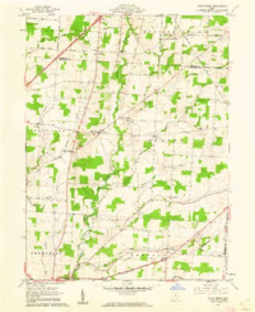
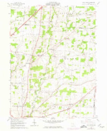
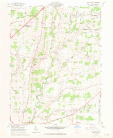
10 topographic sheets cover this place, the earliest surveyed in 1915 and the latest in 1966. It stands in Bennington Township. It lies in ZIP code area 43334. It stands on Reynolds Run. The Survey maps it on the Olive Green quadrangle.
Then and now
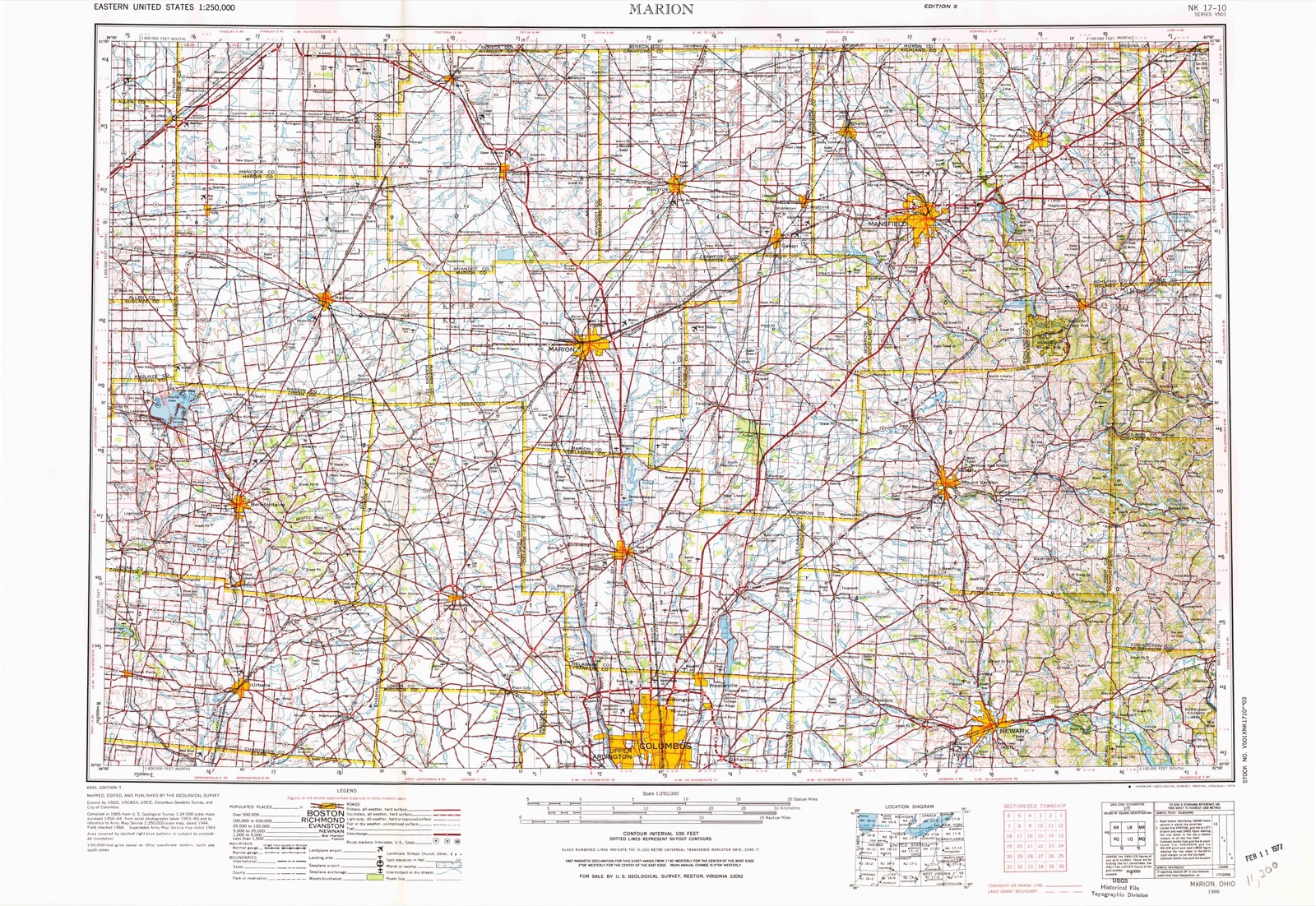
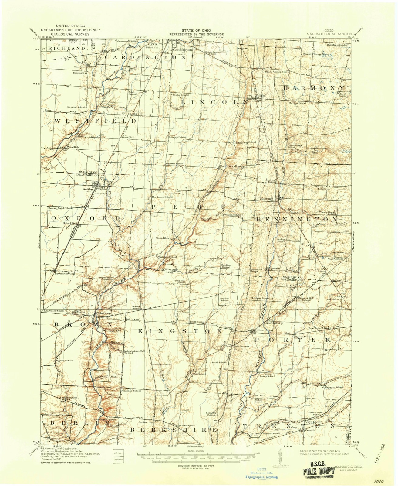
1915 to 1966The same ground, surveyed 51 years apart. Drag the handle to wipe between them. Both sheets are United States Geological Survey originals; neither has been altered.
Topographic sheets covering this place
10 sheetsMatched by testing this settlement's coordinate against the published boundary of every sheet in the United States Geological Survey's historical collection. Each opens the scanned sheet at the Survey.
- 1915 USGS Marengo quadrangle1:62500
- 1943 USGS Marengo quadrangle1:62500
- 1950 USGS Marion quadrangle1:250000
- 1961 USGS Olive Green quadrangle1:24000
- 1961 USGS Olive Green quadrangle1:24000
- 1961 USGS Olive Green quadrangle1:24000
- 1962 USGS Marion quadrangle1:250000
- 1966 USGS Marion quadrangle1:250000
- 1966 USGS Marion quadrangle1:250000
- 1966 USGS Marion quadrangle1:250000





Specimens collected nearby
12 of 255 shownMuseums hold 255 specimens collected within 10 miles of Pagetown between 1835 and 1973: 157 Animalia, 82 Fungi, 6 Plantae, 4 Protozoa, 4 Chromista, 2 Unrecorded. 12 distinct Species records are shown. Collected by A. P. Morgan, A.P. Morgan, Adler, K. K. and others. Each is a physical object with a catalogue number, and each entry opens the museum's record. This is what was collected and kept, not a survey of what lives here - nothing can be concluded from a species being absent.
| Image | Species | Year | Collected by | Where, as recorded |
|---|---|---|---|---|
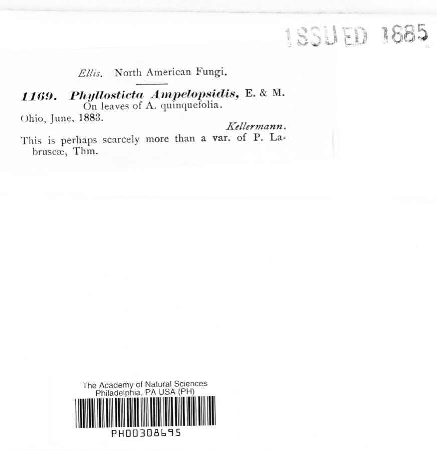 | Phyllosticta ampelopsidis Speschnew | 1883 | Kellerman | Ohio |
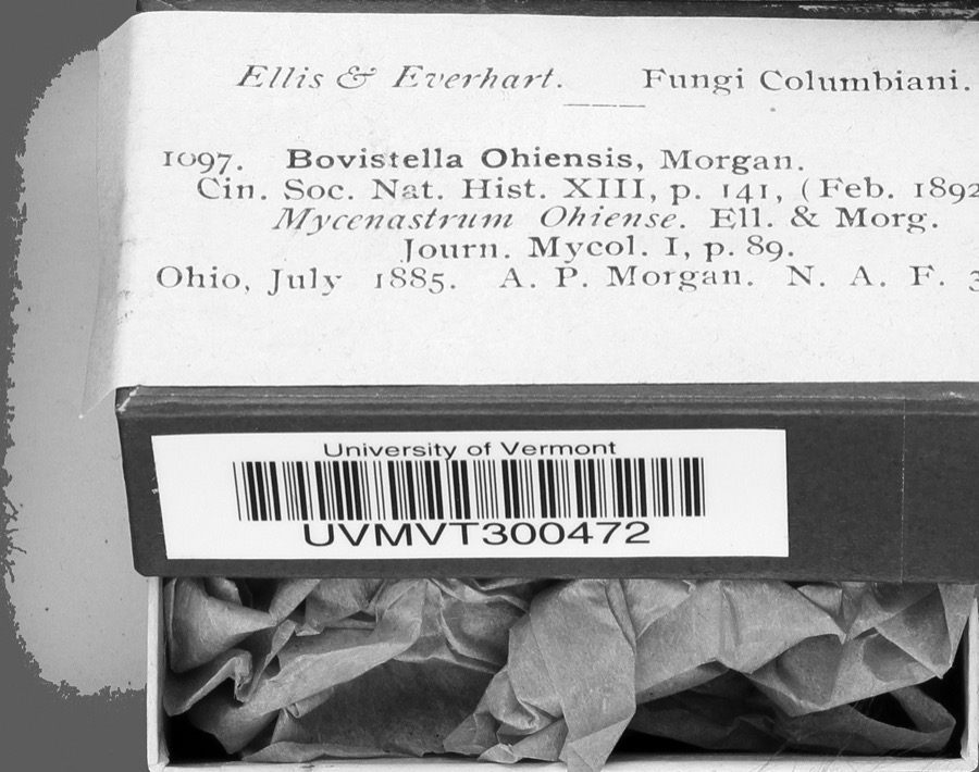 | Bovistella Morgan | 1885 | A. P. Morgan | |
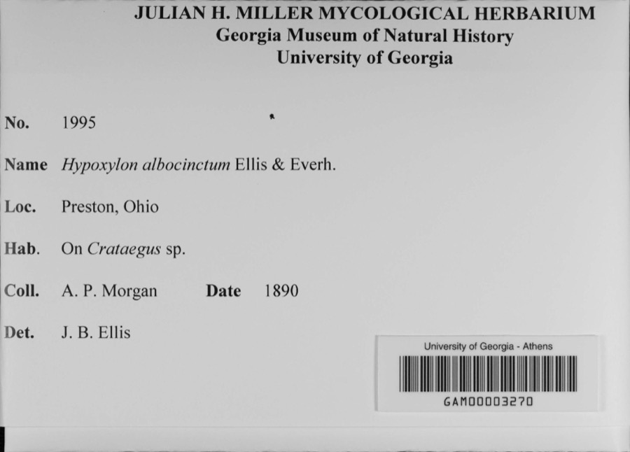 | Hypoxylon albocinctum Ellis & Everh. | 1890 | A. P. Morgan | Preston |
 | Polystichum acrostichoides (Michx.) Schott | 1835 | Joseph C. Frank | Ohio, s.loc. |
 | Agaricus velutipes Curtis | 1837 | J.R. Paddock | |
 | Polyporus versicolor (L.) Fr. | 1838 | not recorded | |
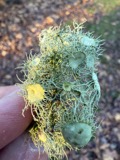 | Usnea florida (L.) F.H.Wigg. | 1838 | not recorded | |
 | Equisetum arvense L. | 1870 | Beardslee, H.C. | Moist soil. |
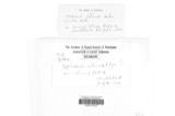 | Sphaeria ulmea Fr. | 1880 | W. A. Kellermann | Ohio |
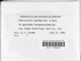 | Phyllosticta decidua Ellis & Kellerm. | 1882 | Kellerman | Ohio |
| unnamed | 1883 | Kellerman | Ohio | |
| Botryotinia fuckeliana (de Bary) Whetzel | 1883 | W. A. Kellerman | Ohio |
All 255 specimens within 10 miles, at the Global Biodiversity Information Facility.
Nearest settlements
The eight closest, with where each one stands in the county. Distances are straight-line, computed from the Geographic Names Information System coordinates.
| Map | Place | Distance | Sheets |
|---|---|---|---|
| Fargo | 0.7 miles | 10 | |
| Bennington Springs | 2.2 miles | 9 | |
| Marengo | 3.0 miles | 9 | |
| Vails Corners | 3.5 miles | 10 | |
| West Liberty | 4.1 miles | 10 | |
| South Woodbury | 4.8 miles | 9 | |
| Bloomfield | 5.0 miles | 10 | |
| Morehouse (historical) | 5.6 miles | 10 |
Provenance
This settlement is recorded in the Geographic Names Information System as feature 1049050. The sheet list is computed by point-in-boundary test against the United States Geological Survey's historical topographic inventory. Both are works of the United States government and carry no copyright under 17 U.S.C. 105.
Specimens. Global Biodiversity Information Facility (GBIF), https://www.gbif.org/. Only records licensed CC0 or CC BY are used. Records licensed CC BY-NC are excluded because this site carries advertising. Images are checked individually and any whose licence is non-commercial, no-derivatives or unreadable is refused.