 Block
Block
Pemberville, Ohio
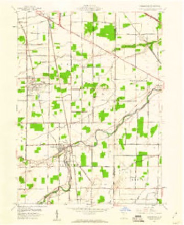
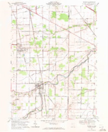
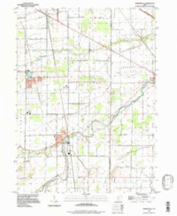
12 topographic sheets cover this place, the earliest surveyed in 1901 and the latest in 1994. It stands in Freedom Township. It lies in ZIP code area 43450. It stands on North Branch Portage River. The Survey maps it on the Pemberville quadrangle. 1,326 people lived here at the 2020 count. It stands 650 feet above sea level.
Population over time
2 figuresPemberville fell from 1,371 to 1,326 between 2010 and 2020. These are the recorded population figures Wikidata holds for this place, reached through the Geographic Names Information System number this page is keyed on rather than by name, so they belong to this place and not to another of the same name. Most are census counts, but not all are: an early figure may be a founding or settlement estimate. The change column is computed, and is left blank where more than 20 years separate a figure from the one before it, because a gap that long is not a change between two counts.
| Year | People | Change |
|---|---|---|
| 2010 | 1,371 | |
| 2020 | 1,326 | -45 (-3%) |
Then and now
1901 to 1994The same ground, surveyed 93 years apart. Drag the handle to wipe between them. Both sheets are United States Geological Survey originals; neither has been altered.
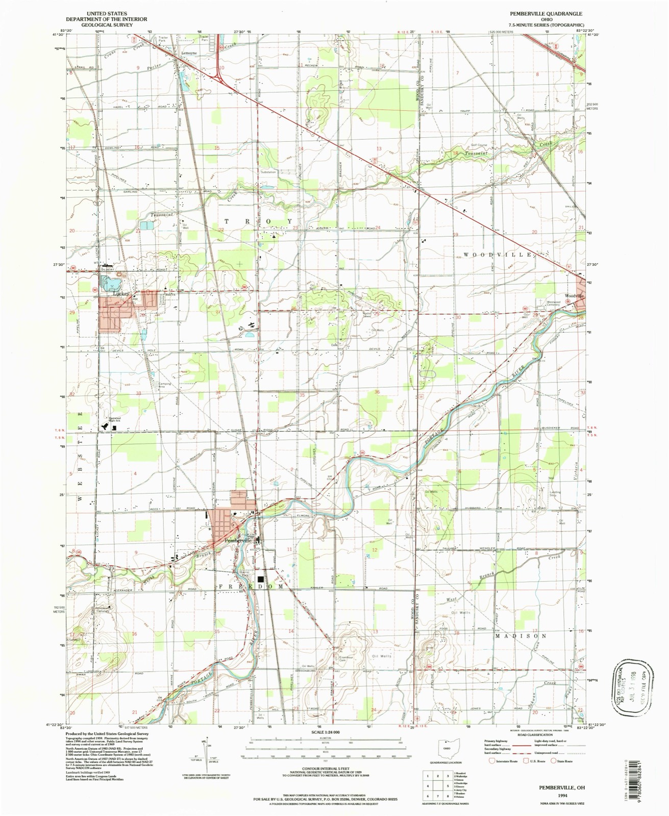
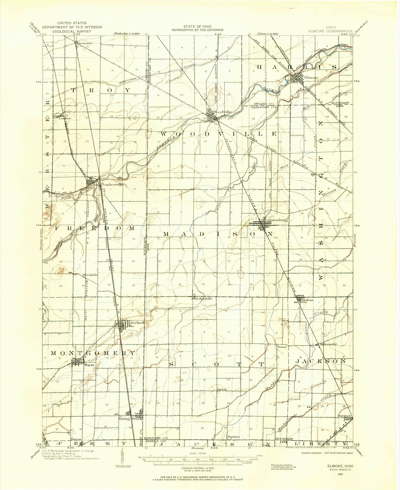
Compare 1901 against another survey:
Topographic sheets covering this place
12 sheetsMatched by testing this settlement's coordinate against the published boundary of every sheet in the United States Geological Survey's historical collection. Each opens the scanned sheet at the Survey.
- 1901 USGS Elmore quadrangle1:62500
- 1903 USGS Elmore quadrangle1:62500
- 1956 USGS Toledo quadrangle1:250000
- 1956 USGS Toledo quadrangle1:250000
- 1956 USGS Toledo quadrangle1:250000
- 1956 USGS Toledo quadrangle1:250000
- 1959 USGS Pemberville quadrangle1:24000
- 1961 USGS Toledo quadrangle1:250000
- 1969 USGS Pemberville quadrangle1:24000
- 1986 USGS Findlay quadrangle1:100000
- 1986 USGS Findlay quadrangle1:100000
- 1994 USGS Pemberville quadrangle1:24000





What happened here
An account from the chapter on Freedom township, The inset identifies its exact source book and publication year.
The Pioneer An Athlete
UNCLE GUY NEARING took a subcontract from Contractor Beebe, on the Miami and Erie Canal. Contractor Beebe drew the money and appropriated it to his own use. He failed to pay Nearing, who was thereby ruined, having mortgaged his property. While his canal work was going on he became involved in a difficulty with some of the canal men, and while passing up the river with a team he was attacked by seven Irishmen with clubs.
In the county-history sources
119,777 words on this townshipReminiscences of Pioneer Days in Wood County and the Maumee Valley : a Pioneer Scrap Book, published 1909 names this settlement in its chapter on Freedom Township. These are the passages that mention it, exactly as the scans read.
IN the year 1833, Isaac Cable and his three sons, Silas, Benjamin and Jonathan, also Michae] Miller and Michael Myers, from near Canton, Stark county, Ohio, settled at New Rochester. Almost, at the same time a party of settlers, among whom were Henry Nailer. Michael N. Myers, Christian Shelley, Ashae] Towers, Henry Hahn, and several others came in from Lorain county and settled at Pemberville and above on the north fork of the river.
Passage source: Reminiscences of Pioneer Days in Wood County and the Maumee Valley : a Pioneer Scrap Book, published 1909.
Most of the lands below the forks had been bought up by speculators, but most of the settlers at that time, could get good Lands near the river at government price, $1.25 per acre. Wood county was at that time in the Delaware land distriei. The Pembers came the next year. - lame- Pember bad previously married the daughter of Ashae! Towers, which circumstance, no doubt, was the cause of his locating in Wood county, as his father-in-law was the chief landed proprietor of what is now Pemberville.
Passage source: Reminiscences of Pioneer Days in Wood County and the Maumee Valley : a Pioneer Scrap Book, published 1909.
Late in the fall of 1834, there were barely enough able abodied men to raise a log school house at the Forks. At this raising, a petition was drawn up and signed, asking the commissioners for a separate township organization. Mr. 1 1 i iM in Pember, who now lives in Pemberville, and whom we hope may be spared many years yet, gave the township its name.
Passage source: Reminiscences of Pioneer Days in Wood County and the Maumee Valley : a Pioneer Scrap Book, published 1909.
Machine-read from a century-old scan, so expect the errors a machine makes: misspelled names, dropped words, stray characters.
Read the whole chapter on Freedom Township - it names this place 4 more 4 times.
Specimens collected near this place
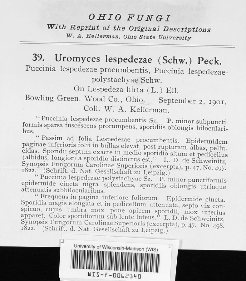
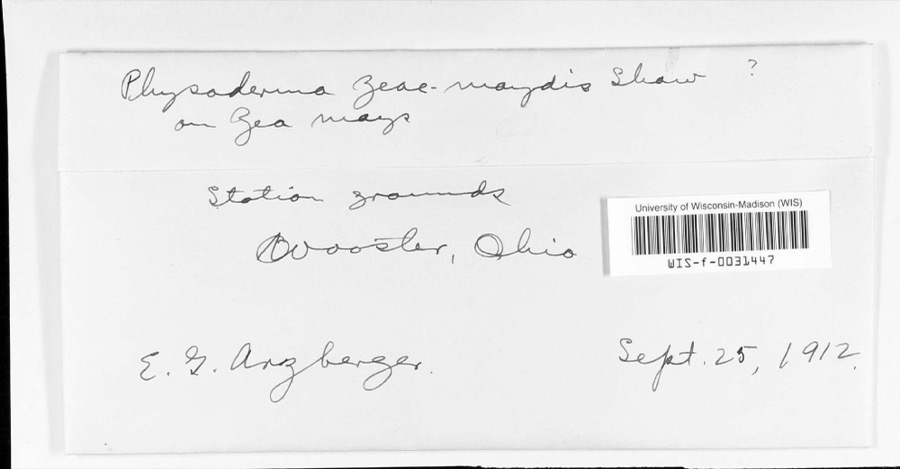
12 of 576 shownRegional context, not property-specific evidence. Museums hold 576 specimens collected within 10 miles of Pemberville between 1894 and 1975: 569 Animalia, 4 Fungi, 1 Unrecorded, 1 Chromista, 1 Plantae. 12 distinct Species records are shown. Collected by Allen, J. M., Baumgartner, L., Campbell, L. (Louis) and others. Each is a physical object with a catalogue number, and each entry opens the museum's record. This is what was collected and kept, not a survey of what lives here - nothing can be concluded from a species being absent.
| Image | Species | Year | Collected by | Where, as recorded |
|---|---|---|---|---|
 | Uromyces lespedezae-procumbentis (Schwein.) Lagerh. | 1901 | W. A. Kellerman | |
 | Physoderma zeae-maydis F.J.F.Shaw | 1912 | E. G. Arzberger | Station grounds |
 | Icterus galbula galbula (Linnaeus, 1758) | 1894 | Geo W. Dean | Wayne |
 | Calicium lenticulare Ach. | 1895 | E. E. Bogue | |
 | Ictalurus punctatus (Rafinesque, 1818) | 1897 | Osburn, R. C. (Raymond Carroll) & Williamson, E. B. | Big Darby Creek, no more precise locality beyond township, near Darbydale OH, Pleasant Township |
 | Fundulus diaphanus menona Jordan & Copeland, 1877 | 1922 | Wickliff, E. L. (Edward L.) | Portage River, within Wood Co, Wood County, township n/a |
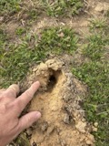 | Scalopus aquaticus machrinus (Rafinesque, 1832) | 1927 | Finkenbinder, L. | Bowling Green, Wood Co., Ohio, USA |
 | Perdix perdix (Linnaeus, 1758) | 1928 | Hine, J. S. (James Stewart) | Waterville, Wood, Ohio, USA |
 | Graptemys geographica (Lesueur, 1817) | 1929 | Hine, J. S. (James Stewart) & Trautman, M. B. (Milton Bernard) | above Perrysburg: Maumee River, Wood Co., Ohio |
 | Chelydra serpentina serpentina | 1930 | Trautman, M. B. (Milton Bernard) | South Branch-Portage River, Wood Co., Ohio |
 | Chrysemys picta marginata Agassiz, 1857 | 1930 | Trautman, M. B. (Milton Bernard) & Foster, R. B. | Liberty Twp; Middle Branch of Portage R, Wood Co., Ohio |
_2.jpg) | Buteo lagopus sanctijohannis (Gmelin, 1788) | 1932 | Meagley, A. D. | Haskins, Wood, Ohio, USA |
All 576 specimens within 10 miles, at the Global Biodiversity Information Facility.
Storms near this place
27 since 1998Regional context, not property-specific evidence. The National Weather Service names Pemberville in 27 storm reports between 1998 and 2023: 12 thunderstorm wind, 8 hail, 4 flood, 3 tornado. No death or injury is recorded in these reports. Each account below is quoted exactly as the forecast office filed it, from the NOAA Storm Events Database, and each date opens the federal record of that event.
| When | Event | Place named | Harm | What the report says |
|---|---|---|---|---|
| June 2000 | Tornado (F1) | Pemberville | $250,000 | A tornado touched down a few miles west of Pemberville along State Route 105 and near the north branch of the Portage River. The tornado moved in a west to east direction for several hundred yards along the river. The observed damage path was approximately 25 yards in width. The roofs of two businesses were torn off by the tornado. One of the roofs landed 500 feet away from the building it came from. Many trees were blown down and several signs were sucked out of the ground. One home was damaged by a fallen tree and a second tree crushed a nearby car. A small stretch of the Portage River was clogged with fallen trees. |
| June 1998 | Thunderstorm Wind | Pemberville | $75,000 | Many trees were downed, the roof of a mobile home was blown away and the roof of a barn was blown off. In Perrysburg, a house trailer was blown over. |
| June 2015 | Flood | Pemberville | $50,000 | The heavy rain on the 27th caused the Portage River to flood. At the river forecast point in Woodville the river exceeded major flood stage (13.5') reaching 13.71' on the morning of the 29th. Parks near the river were inundated with some minor damage to park property. Some basements were inundated in Pemberville upstream of Woodville. |
| August 2016 | Tornado (EF0) | Pemberville | $35,000 | National Weather Service storm survey team determined a tornado touched down along Route 6 and immediately lifted. A storage building was damaged with much of the sheet metal roof removed. Sheet metal was found in nearby trees. Some projectile debris was noted. |
| August 2007 | Flood | Pemberville | $35,000 | Heavy rain fell across the area during the morning hours of the 20th. Water was able to quickly drain into area streams and rivers, but by the midday hours, water began overwhelming creeks and streams. By the early afternoon hours, water was reported across roads in Pemberville. As the afternoon and evening progressed, reports were received of roads closed throughout the county. High water continued through the overnight across the county as reports from the morning of the 21st indicated that many roads were still flooded and closed. Water receded across the area through much of the day on the 21st. |
| August 2012 | Thunderstorm Wind | Pemberville | $25,000 | Law enforcement reported downed trees and power poles from strong thunderstorm winds in the city of Pemberville and across Eastern portions of Wood County. |
| May 2020 | Flood | Pemberville | $20,000 | Major flooding on the Portage River at Woodville. Worst flooding since 2013 in Pemberville. In hardest hit Pemberville, Water Street flooded, businesses inundated on the ground level. Bridge Street closed due to flooding. In Elmore the Portage River swept away much of the temporary stone causeway that construction workers were using for river access to a construction site. The flood was caused by heavy rain on the 18th and 19th estimated around 2 to 4 inches primarily in the headwaters. |
| March 2017 | Thunderstorm Wind | Pemberville | $20,000 | Thunderstorm winds toppled a utility pole in Pemberville resulting in a power outage. A large tree was also knocked down east of the city. |
| June 2013 | Thunderstorm Wind | Pemberville | $10,000 | Thunderstorm winds downed some trees and large limbs. |
| July 2012 | Thunderstorm Wind | Pemberville | $10,000 | Thunderstorm winds downed a few trees. At least one road was blocked by a fallen tree. |
| October 2003 | Thunderstorm Wind | Pemberville | $10,000 | Thunderstorm winds destroyed a railroad crossing gate. A few large tree limbs were also downed. |
| July 2003 | Thunderstorm Wind | Pemberville | $2,000 | Thunderstorm winds downed a large tree. |
| June 2020 | Thunderstorm Wind | Pemberville | $1,000 | Several large tree branches were reported down in the Pemberville area. |
| June 2015 | Hail | Pemberville | $1,000 | The Wood County Emergency Manager relayed a report of quarter size hail in Pemberville. |
| July 2023 | Thunderstorm Wind | Pemberville | - | Numerous trees downed in Pemberville. |
| April 2023 | Thunderstorm Wind | Pemberville | - | Shingles torn off roof about two-miles south of Pemberville. |
| May 2021 | Flood | Pemberville | - | Rainfall of 1.5 inch averaged across the Portage River watershed on May 9th cause minor flooding in Pemberville. Water was in the backyard of residents on Bierley, Bridge, and Water Streets in Pemberville. The USGS river gage at Woodville reported a river stage of 10.1 feet on the 10th. |
| July 2019 | Thunderstorm Wind | Pemberville | - | There was report from mPING of large trees branches blown down along Pemberville Road. |
| July 2019 | Thunderstorm Wind | Pemberville | - | A picture from social media shows a large tree blown down along Hill Road near Pemberville. |
| June 2017 | Hail | Pemberville | - | Quarter sized hail was reported. |
| May 2015 | Hail | Pemberville | - | Quarter sized hail was reported. |
| May 2015 | Hail | Pemberville | - | Penny sized hail was observed along State Route 105 just west of the Sandusky County Line. |
| May 2015 | Hail | Pemberville | - | Quarter sized was reported west of Pemberville. |
| June 2007 | Hail | Pemberville | - | Penny size hail was observed. |
| June 2006 | Hail | Pemberville | - | Penny size hail was observed. |
| May 2000 | Tornado (F0) | Pemberville | - | A small tornado touched down briefly in a field just outside of Pemberville. No damage occurred. |
| June 1998 | Hail | Pemberville | - | Large hail (0.75") also fell at Luckey. |
Nearest settlements
The eight closest, with where each one stands in the county. Distances are straight-line, computed from the Geographic Names Information System coordinates.
| Map | Place | Distance | Sheets |
|---|---|---|---|
| Luckey | 3.1 miles | 12 | |
| Scotch Ridge | 3.3 miles | 14 | |
| Woodside | 4.1 miles | 14 | |
| New Rochester | 4.1 miles | 15 | |
| Lemoyne | 5.9 miles | 12 | |
| Fenton (historical) | 6.0 miles | 14 | |
| Bradner | 6.1 miles | 14 | |
| Stony Ridge | 7.3 miles | 14 |
Elsewhere
Matched on this settlement's Geographic Names Information System number rather than its name, so it cannot be a different place of the same name in another state.
| Wikipedia article on Pemberville | An encyclopaedic summary. Its text is share-alike, so it is linked here rather than copied. |
| Wikidata item Q1816702 | The structured record the population and elevation above come from. Public domain (CC0). |
Provenance
This settlement is recorded in the Geographic Names Information System as feature 1049070. The sheet list is computed by point-in-boundary test against the United States Geological Survey's historical topographic inventory. Both are works of the United States government and carry no copyright under 17 U.S.C. 105.
Specimens. Global Biodiversity Information Facility (GBIF), https://www.gbif.org/. Only records licensed CC0 or CC BY are used. Records licensed CC BY-NC are excluded because this site carries advertising. Images are checked individually and any whose licence is non-commercial, no-derivatives or unreadable is refused.
Storms. NOAA National Centers for Environmental Information, Storm Events Database https://www.ncei.noaa.gov/stormevents/ A work of the United States government, no copyright under 17 U.S.C. 105. Narratives are quoted verbatim from the National Weather Service report and are not edited or summarised.