 Block
Block
Port Clinton, Ohio
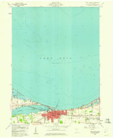
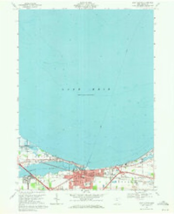
11 topographic sheets cover this place, the earliest surveyed in 1901 and the latest in 1986. It stands in Port Clinton City. It lies in ZIP code area 43452. It stands on Portage River. The Survey maps it on the Port Clinton quadrangle. 6,025 people lived here at the 2020 count. It stands 581 feet above sea level.
Population over time
2 figuresPort Clinton fell from 6,056 to 6,025 between 2010 and 2020. These are the recorded population figures Wikidata holds for this place, reached through the Geographic Names Information System number this page is keyed on rather than by name, so they belong to this place and not to another of the same name. Most are census counts, but not all are: an early figure may be a founding or settlement estimate. The change column is computed, and is left blank where more than 20 years separate a figure from the one before it, because a gap that long is not a change between two counts.
| Year | People | Change |
|---|---|---|
| 2010 | 6,056 | |
| 2020 | 6,025 | -31 (-1%) |
Then and now
1901 to 1986The same ground, surveyed 85 years apart. Drag the handle to wipe between them. Both sheets are United States Geological Survey originals; neither has been altered.
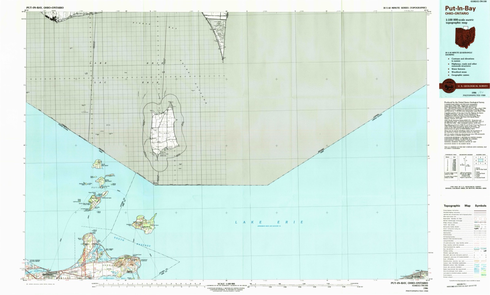
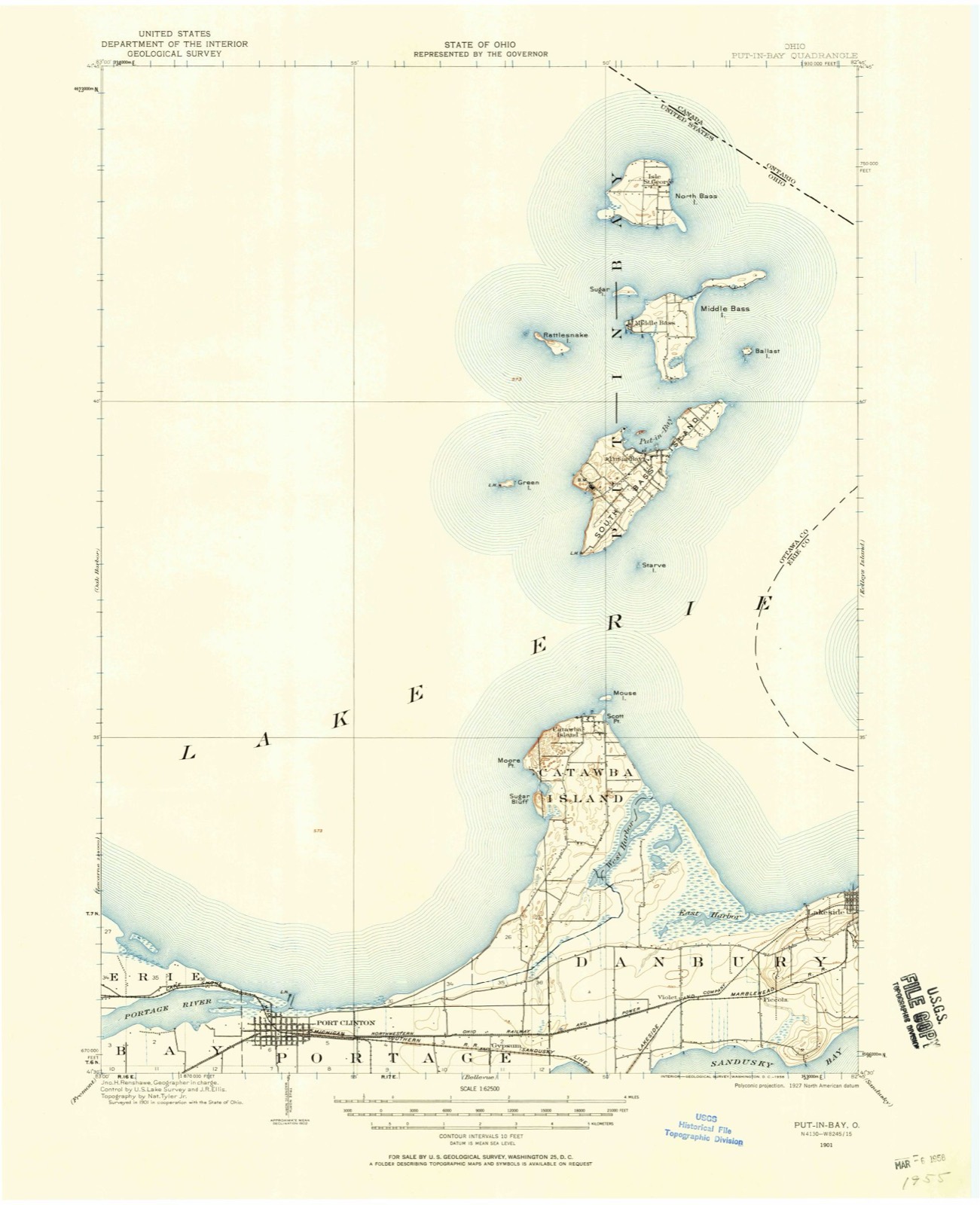
Topographic sheets covering this place
11 sheetsMatched by testing this settlement's coordinate against the published boundary of every sheet in the United States Geological Survey's historical collection. Each opens the scanned sheet at the Survey.
- 1901 USGS Put-In-Bay quadrangle1:62500
- 1903 USGS Put In Bay quadrangle1:62500
- 1956 USGS Toledo quadrangle1:250000
- 1956 USGS Toledo quadrangle1:250000
- 1956 USGS Toledo quadrangle1:250000
- 1956 USGS Toledo quadrangle1:250000
- 1959 USGS Port Clinton quadrangle1:24000
- 1961 USGS Toledo quadrangle1:250000
- 1969 USGS Port Clinton quadrangle1:24000
- 1986 USGS Put-In-Bay quadrangle1:100000
- 1986 USGS Put-In-Bay quadrangle1:100000





Specimens collected nearby
12 of 3,074 shownMuseums hold 3,074 specimens collected within 10 miles of Port Clinton between 1828 and 1975: 2,572 Animalia, 435 Plantae, 63 Fungi, 3 Chromista, 1 Unrecorded. 12 distinct Species records are shown. Collected by A. D. Selby, A. J. Pieters, A. Woolman and others. Each is a physical object with a catalogue number, and each entry opens the museum's record. This is what was collected and kept, not a survey of what lives here - nothing can be concluded from a species being absent.
| Image | Species | Year | Collected by | Where, as recorded |
|---|---|---|---|---|
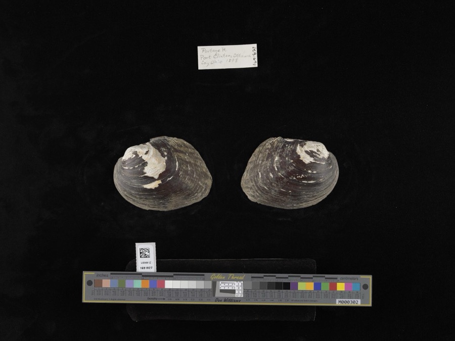 | Amblema plicata (Say, 1817) | 1898 | not recorded | Portage River |
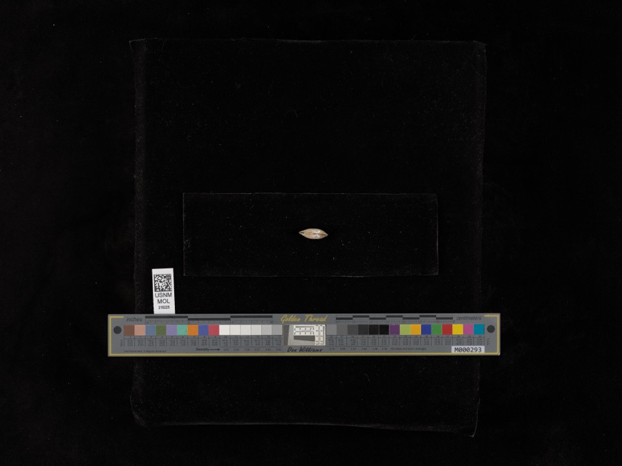 | Lampsilis radiata radiata (Gmelin, 1791) | 1898 | United States Fish Commission | Sandusky Bay |
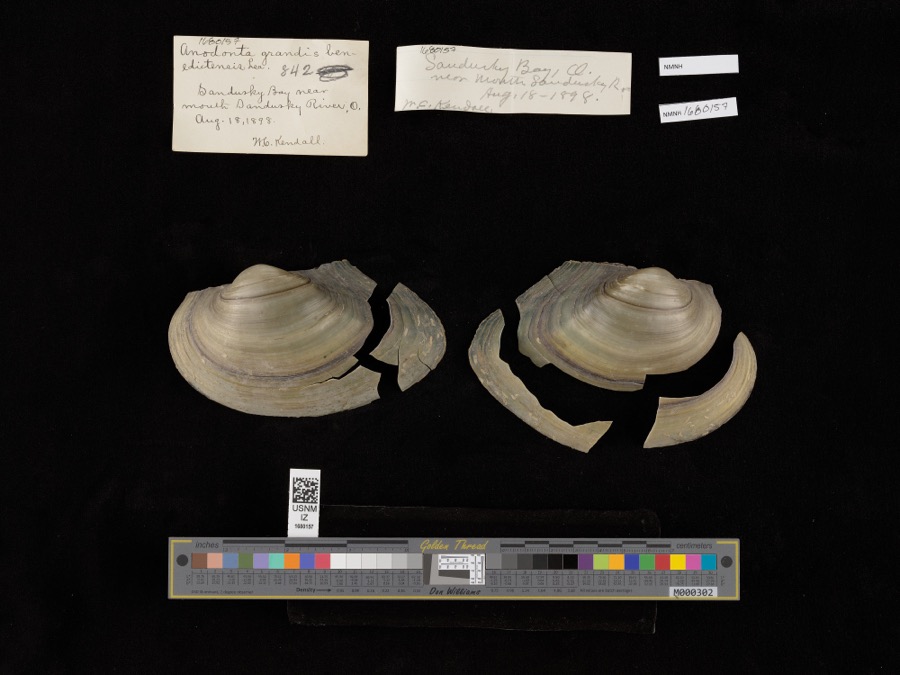 | Pyganodon grandis (Say, 1829) | 1898 | United States Fish Commission & W. Kendall | Sandusky Bay near mouth of Sandusky River |
 | Pseudoleskea rigescens Lindb. | 1828 | Thomas Drummond | Banks of the Portage River |
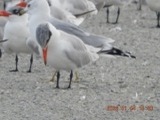 | Hydroprogne caspia (Pallas, 1770) | 1865 | Trautman, M. B. (Milton Bernard) | Winous Pt., Bay Twp, Ottawa, Ohio, USA |
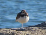 | Charadrius vociferus Linnaeus, 1758 | 1879 | not recorded | |
 | Agelaius phoeniceus (Linnaeus, 1766) | 1880 | Porter, J.B. | |
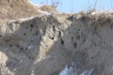 | Riparia riparia (Linnaeus, 1758) | 1880 | Porter collection, J.B. | |
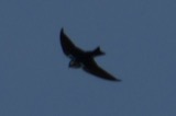 | Tachycineta bicolor (Vieillot, 1808) | 1880 | Porter collection, J.B. | |
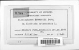 | Microsphaera ravenelii Berk. | 1887 | F. S. Earle | Catawba Island |
 | Ammocrypta pellucida (Putnam, 1863) | 1894 | C. Rutter | East end Sandusky Bay, Ohio |
 | Anaxyrus fowleri (Hinckley, 1882) | 1894 | not recorded | Sandusky Bay, E end of |
All 3,074 specimens within 10 miles, at the Global Biodiversity Information Facility.
Mines and quarries nearby
6 within 5 milesThe federal mineral resources record lists 6 workings within 5 miles of Port Clinton: 4 past producers, 2 producers. 2 still produce. What was taken out: Gypsum-Anhydrite, Stone, Crushed/Broken. Distance is straight-line from the map coordinates, so a quarry counted here may appear on a neighbouring settlement's page as well.
| Where | Site | Commodity | Status | Recorded |
|---|---|---|---|---|
| Ottawa County Hwy Dept. | Stone, Crushed/Broken | Producer | ||
| American Mine No 2 | Gypsum-Anhydrite | Producer | ||
| American Mine Number 2 Quarry | Gypsum-Anhydrite | Past Producer | Sedimentary | |
| Lower Mine | Gypsum-Anhydrite | Past Producer | ||
| U.S. Gypsum Mill | Gypsum-Anhydrite | Past Producer | ||
| United States Gypsum Co. Mine | Gypsum-Anhydrite | Past Producer | Sedimentary |
Storms nearby
53 since 1996The National Weather Service names Port Clinton in 53 storm reports between 1996 and 2023: 28 thunderstorm wind, 14 hail, 4 storm surge/tide, 3 flash flood. The reports record 22 injuries. Each account below is quoted exactly as the forecast office filed it, from the NOAA Storm Events Database, and each date opens the federal record of that event.
| When | Event | Place named | Harm | What the report says |
|---|---|---|---|---|
| June 1998 | Tornado (F2) | Port Clinton | 13 hurt, $20,000,000 | A tornado touched down approximately 10 miles west of Port Clinton and just west of the Davis Bessie power plant. Winds were between 113 and 157 miles per hour. Considerable damage occurred, with some barns completely destroyed and an apartment complex heavily damaged. Sixty three homes were destroyed, 63 sustained major damage, 238 had minor damage, semi trucks and mobile homes were overturned and trees and utility poles were downed. Loss of power lines outside Davis Bessie triggered a shutdown and a second stage alert; power was out for several days in places. A state of emergency was declared and all roads were closed in the county. Many buildings were destroyed and trees were downed at Camp Perry. A tree containing an eagle's nest with 2 eaglets was blown down. One of the eaglets survived. |
| May 2011 | Thunderstorm Wind | Port Clinton | 5 hurt, $20,000 | Damaging thunderstorm winds hit the area during the Annual Walleye Festival. Thunderstorm winds downed a large entertainment tent in Port Clinton. Between 25 and 30 people were trapped beneath the collapsed tent. The incident resulted in a total of five people sustaining minor injuries. Three individuals were transported to Magruder Hospital, while two others walked to the hospital. |
| November 2002 | Tornado (F2) | Port Clinton | 4 hurt, $13,500,000 | A tornado touched down south of Port Clinton and then moved northeast entering the city just west of the intersection of Wilcox Road and Fulton Road. The tornado moved through the heart of the city reaching Lake Erie at Lakeview Park. From there, the tornado moved northeast over Lake Erie to Catawba Island where it finally dissipated after a ten mile long damage path. Four people suffered minor injuries as a result of the tornado. Hardest hit was the Lakeview Park area where two condominiums were blown off their stilts into Lake Erie and many other structures where destroyed. The initial storm damage in Port Clinton occurred along 11th Street where several homes were heavily damaged or destroyed. Significant damage also occurred near 8th and Fulton Streets. As the tornado moved through the city, it damaged the local high school and a hospital. Significant damage also occurred on Catawba Island with several homes damaged and destroyed before the tornado finally dissipated. A total of 24 homes and 16 apartments were destroyed along the damage path with approximately 60 additional homes damaged enough to be deemed uninhabitable. Another 80 structures sustained minor to moderate amounts of damage. The damage path was typically no more than 50 yards in width. Dozens of vehicles were damaged or destroyed by the tornado and hundreds of trees and power poles were toppled. |
| August 2011 | Flood | Port Clinton | $2,500,000 | An official NWS observer measured 6.58 inches over Port Clinton on the 14th. Emergency Management estimates at least half the town experienced some form of flooding as storm sewer systems were overwhelmed. The H.B. Magruder Hospital was inundated with ankle deep flood waters. Many homes and businesses in Port Clinton observed water in their basements, garages, or into their first floors. Many residents report this to be the worse flooding since the July 4-5th storm of 1969. EMA estimated a lot of property was affected with minor flooding, very few major, and no destroyed. |
| May 2009 | Flash Flood | Port Clinton | $2,000,000 | Slow moving, training thunderstorms produced torrential rainfall in Port Clinton, flooding nearly every street in town. Basement flooding was common due to the high water in the streets. The hospital lobby experienced flooding starting around 2:33pm local time, with water one to two feet deep just outside the main entrance. The foundation of a bank building at East 2nd and Madison collapsed around 3:55pm. 3.75 inches of rain fell in one hour at the sewage treatment plant between 1:30pm and 2:30pm. Storm total rainfall of 5.1 inches was measured in Port Clinton, with 4.5 inches measured on Harbor Road just east of town. |
| April 1998 | Storm Surge/Tide | Port Clinton | $2,000,000 | no account filed |
| August 2023 | Flash Flood | Port Clinton | $400,000 | Reports of widespread flash flooding in Port Clinton. Multiple flooded and impassable roadways reported along with widespread basement flooding. Radar estimated around 4 inches of rainfall in just under a 3 hour period ending 300 AM EDT on August 24, 2023, with total rainfall of 5 to 5.5 inches ending 500 AM EDT on August 24, 2023. |
| June 2002 | Thunderstorm Wind | Port Clinton | $125,000 | Thunderstorm winds downed at least a dozen trees. Three of the trees damaged houses. Three cars were also damaged. |
| August 2002 | Thunderstorm Wind | Port Clinton | $100,000 | Thunderstorm winds downed trees and power poles along Lake Erie from Long Beach to Port Clinton. A 64 mph thunderstorm wind gust was measured in Port Clinton by an observer. Also in Port Clinton, a roof was torn off of a building and at least one car was damaged by trees. Many trees were also downed on Catawba Island. |
| March 1998 | Storm Surge/Tide | Port Clinton | $100,000 | no account filed |
| February 1998 | Storm Surge/Tide | Port Clinton | $100,000 | no account filed |
| May 2015 | Thunderstorm Wind | Port Clinton | $75,000 | Thunderstorm winds tore a section of roofing off of a auto parts store in Port Clinton. No injuries were reported. |
| March 2003 | Thunderstorm Wind | Port Clinton | $75,000 | Showers moved across Ottawa County during the evening hours. Although no thunder or lightning was reported, the showers were intense enough to cause some damage in the county. Wind gusts were estimated to be in excess of 50 mph. A few trees and large limbs were downed in Port Clinton. A barn was leveled near Oak Harbor and a nearby house was also damaged by the strong winds. |
| February 1998 | Storm Surge/Tide | Port Clinton | $75,000 | no account filed |
| August 2016 | Thunderstorm Wind | Port Clinton | $50,000 | Thunderstorm down burst winds downed many trees in the Port Clinton area. |
| September 2000 | Thunderstorm Wind | Port Clinton | $40,000 | Thunderstorm winds downed many trees and large limbs. Two cars were damaged by fallen trees, one each in Port Clinton and Marblehead. |
| June 2010 | Thunderstorm Wind | Port Clinton | $15,000 | Thunderstorm winds downed several large tree limbs. Scattered power outages were reported. |
| June 2009 | Thunderstorm Wind | Port Clinton | $15,000 | Several power poles were reported down. |
| November 2005 | Thunderstorm Wind | Port Clinton | $15,000 | Three trees were reported down. One of the trees fell onto a trailer. |
| July 2002 | Thunderstorm Wind | Port Clinton | $10,000 | Thunderstorm winds downed a few trees. |
| June 1996 | Flash Flood | Port Clinton | $10,000 | no account filed |
| June 2005 | Thunderstorm Wind | Port Clinton | $8,000 | Thunderstorm winds downed a few trees near Port Clinton. |
| May 2019 | Thunderstorm Wind | Port Clinton | $5,000 | Several trees and power lines were blown down. |
| August 2011 | Thunderstorm Wind | Port Clinton | $5,000 | Thunderstorm winds downed numerous large tree limbs. |
| July 2002 | Thunderstorm Wind | Port Clinton | $5,000 | Thunderstorm winds downed several large tree limbs. |
| July 2002 | Thunderstorm Wind | Port Clinton | $5,000 | Thunderstorm winds downed several large tree limbs. |
| July 1999 | Thunderstorm Wind | Port Clinton | $5,000 | Many trees and large limbs downed. |
| June 2009 | Thunderstorm Wind | Port Clinton | $4,000 | Several trees were reported down. |
| May 1998 | Thunderstorm Wind | Port Clinton | $4,000 | Trees were downed. |
| June 2008 | Thunderstorm Wind | Port Clinton | $3,000 | Large limbs and power lines were reported down. Also, a few windows were broken at a hotel. |
| May 2002 | Thunderstorm Wind | Port Clinton | $3,000 | Thunderstorm winds downed a large tree west of Port Clinton in Bay Township. |
| July 2012 | Thunderstorm Wind | Port Clinton | $2,000 | Thunderstorm winds downed a few large tree limbs. |
| July 2011 | Thunderstorm Wind | Port Clinton | $2,000 | Thunderstorm winds downed a tree and a large limb. |
| June 2009 | Thunderstorm Wind | Port Clinton | $2,000 | A few trees were reported down. |
| July 2004 | Thunderstorm Wind | Port Clinton | $2,000 | Thunderstorm winds downed one tree and one large limb. |
| July 2010 | Hail | Port Clinton | $1,000 | Thunderstorms produced 1.00 inch hail. |
| July 2010 | Hail | Port Clinton | $1,000 | Thunderstorms produced 0.88 inch hail. |
| July 2023 | Thunderstorm Wind | Port Clinton | - | Trees downed about two-miles WNW of Port Clinton. |
| September 2021 | Thunderstorm Wind | Port Clinton | - | Trees downed in Port Clinton. |
| November 2020 | Thunderstorm Wind | Port Clinton | - | Multiple trees and power lines down in the Port Clinton area. |
| May 2014 | Hail | Port Clinton | - | Amateur radio operator reported penny size hail in Port Clinton. |
| June 2013 | Hail | Port Clinton | - | Penny sized hail was observed. |
| March 2012 | Hail | Port Clinton | - | Nickel sized hail was observed. |
| July 2012 | Hail | Port Clinton | - | Quarter sized hail was observed. |
| July 2012 | Hail | Port Clinton | - | Quarter sized hail was observed. |
| July 2012 | Hail | Port Clinton | - | Quarter sized hail was observed. |
| May 2010 | Hail | Port Clinton | - | Nickel sized hail was observed. |
| May 2010 | Hail | Port Clinton | - | Nickel sized hail was reported. |
| May 2006 | Hail | Port Clinton | - | Penny size hail was observed. |
| June 2006 | Hail | Port Clinton | - | Penny size hail was observed. |
| May 2004 | Hail | Port Clinton | - | Penny size hail was observed. |
| September 1999 | Waterspout | Port Clinton | - | A waterspout was sighted on Lake Erie approximately 2 miles offshore from the Camp Perry military installation or about 10 miles northwest of Port Clinton. No damage was reported. |
| July 1998 | Hail | Port Clinton | - | Large hail fell in the north central portion of the county approximately 10 miles west of Port Clinton. |
Newspapers printed here
0 digitised pages1 paper published in this town, digitised by the Library of Congress and free to read: 0 issues, 0 pages. Every page is searchable, so a name or a street can be looked for directly in what the town printed about itself at the time.
| Newspaper | Published |
|---|---|
| Ottawa County News | 1931 to 1956 |
What the paper printed
2,836 wordsFront pages of the local paper, read from the Library of Congress scans: 5 issues spread across its run from 1948 to 1956, 2,836 words in total. Each is reproduced on its own page, exactly as the recogniser returned it.
These pages read less well than anything else here, and the number is worth stating: about three words in four come through cleanly, against nine in ten for the building records. An 1896 broadsheet sets eight-point type in seven columns on microfilm, which is the hardest thing in this archive to read by machine. We tested our own recognisers against the Library's and they were not better, so the Library's text is what appears, with the wholly unreadable columns removed. Read it as a guide to what the paper covered, and follow the link to the scan before quoting anything.
| Issue | Paper | Length |
|---|---|---|
| 1948-04-02 | Ottawa County News | 500 words |
| 1948-06-04 | Ottawa County News | 793 words |
| 1948-10-08 | Ottawa County News | 514 words |
| 1948-12-10 | Ottawa County News | 390 words |
| 1956-07-06 | Ottawa County News | 639 words |
Nearest settlements
The eight closest, with where each one stands in the county. Distances are straight-line, computed from the Geographic Names Information System coordinates.
| Map | Place | Distance | Sheets |
|---|---|---|---|
| Hickory Grove | 1.9 miles | 15 | |
| Gypsum | 3.5 miles | 15 | |
| Lacarne | 5.5 miles | 14 | |
| Danbury | 5.8 miles | 16 | |
| Harbor Acres | 6.1 miles | 13 | |
| Foxhaven | 6.9 miles | 13 | |
| Violet (historical) | 6.9 miles | 13 | |
| Gem Beach | 7.3 miles | 13 |
Elsewhere
Matched on this settlement's Geographic Names Information System number rather than its name, so it cannot be a different place of the same name in another state.
| Wikipedia article on Port Clinton | An encyclopaedic summary. Its text is share-alike, so it is linked here rather than copied. |
| Wikidata item Q1925091 | The structured record the population and elevation above come from. Public domain (CC0). |
Provenance
This settlement is recorded in the Geographic Names Information System as feature 1061564. The sheet list is computed by point-in-boundary test against the United States Geological Survey's historical topographic inventory. Both are works of the United States government and carry no copyright under 17 U.S.C. 105.
Specimens. Global Biodiversity Information Facility (GBIF), https://www.gbif.org/. Only records licensed CC0 or CC BY are used. Records licensed CC BY-NC are excluded because this site carries advertising. Images are checked individually and any whose licence is non-commercial, no-derivatives or unreadable is refused.
Mines and quarries. USGS Mineral Resources Data System (MRDS) https://mrdata.usgs.gov/mrds/ A work of the United States government, no copyright under 17 U.S.C. 105.
Storms. NOAA National Centers for Environmental Information, Storm Events Database https://www.ncei.noaa.gov/stormevents/ A work of the United States government, no copyright under 17 U.S.C. 105. Narratives are quoted verbatim from the National Weather Service report and are not edited or summarised.