 Block
Block
Portage Lakes, Ohio
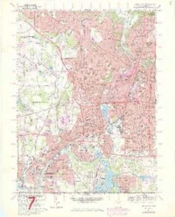
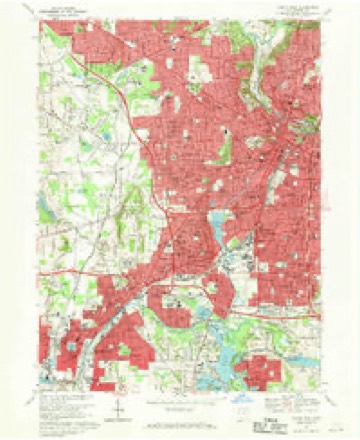
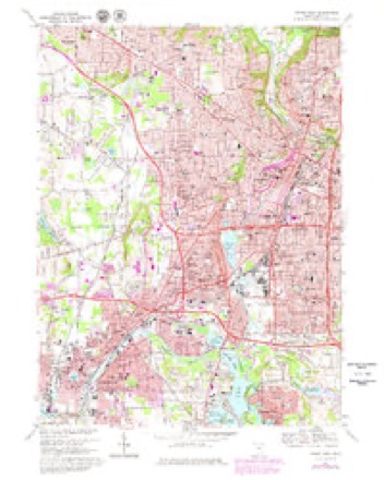
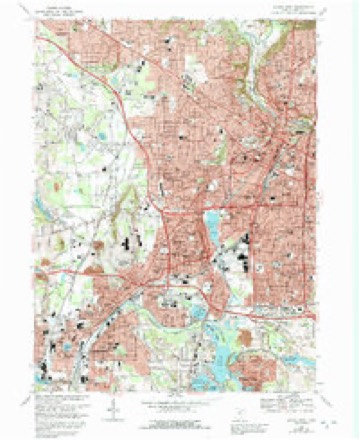
22 topographic sheets cover this place, the earliest surveyed in 1903 and the latest in 1994. It stands in Coventry Township. It lies in ZIP code area 44319. It stands on Feeder Race River. The Survey maps it on the Akron West quadrangle. 6,407 people lived here at the 2020 count. It stands 965 feet above sea level.
Population over time
3 figuresPortage Lakes fell from 9,870 to 6,407 between 2000 and 2020. These are the recorded population figures Wikidata holds for this place, reached through the Geographic Names Information System number this page is keyed on rather than by name, so they belong to this place and not to another of the same name. Most are census counts, but not all are: an early figure may be a founding or settlement estimate. The change column is computed, and is left blank where more than 20 years separate a figure from the one before it, because a gap that long is not a change between two counts.
| Year | People | Change |
|---|---|---|
| 2000 | 9,870 | |
| 2010 | 6,968 | -2,902 (-29%) |
| 2020 | 6,407 | -561 (-8%) |
Then and now
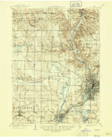
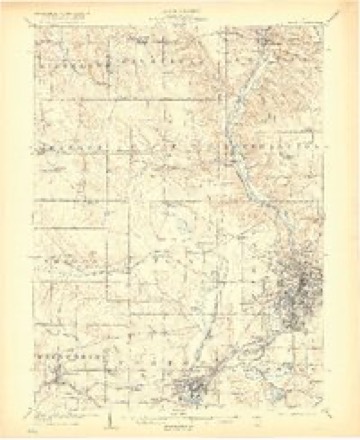
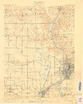
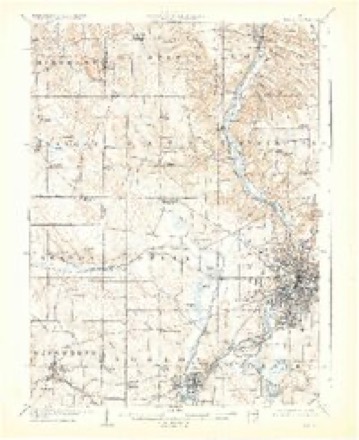
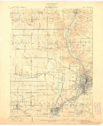
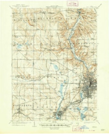
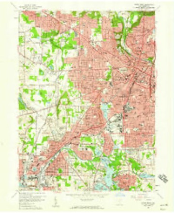
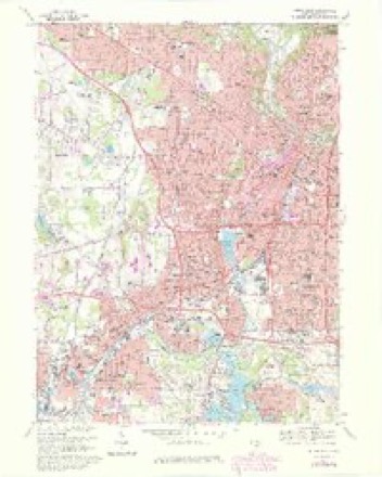
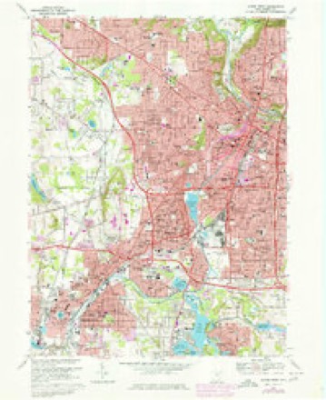
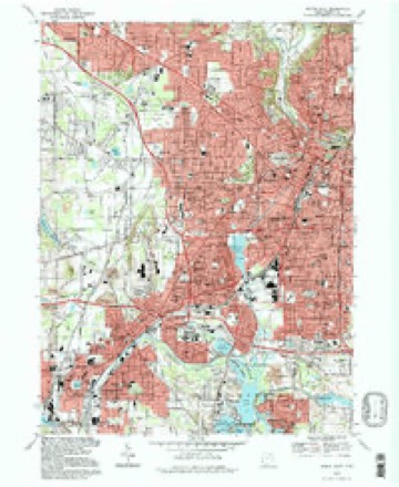
1903 to 1994The same ground, surveyed 91 years apart. Drag the handle to wipe between them. Both sheets are United States Geological Survey originals; neither has been altered.
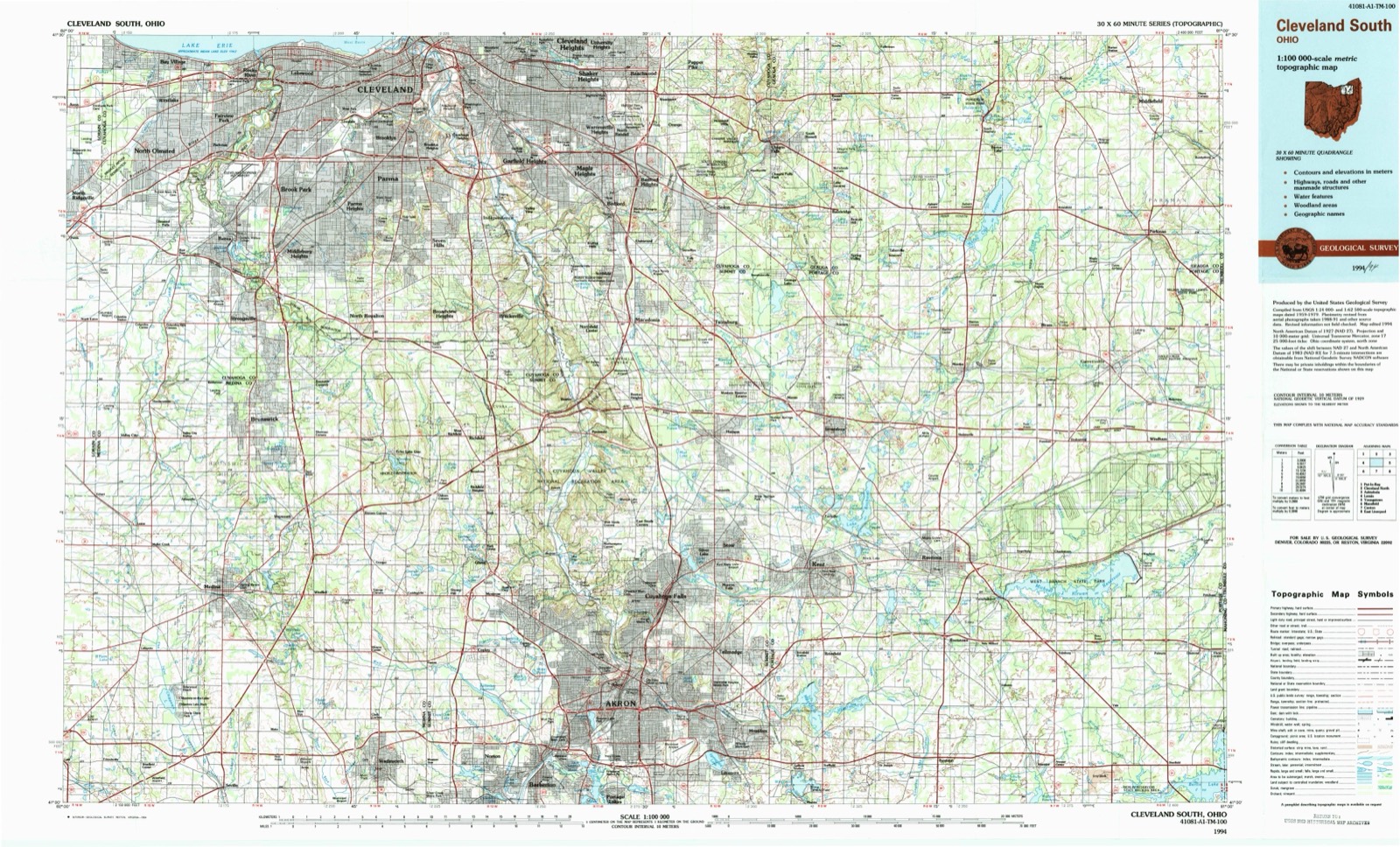
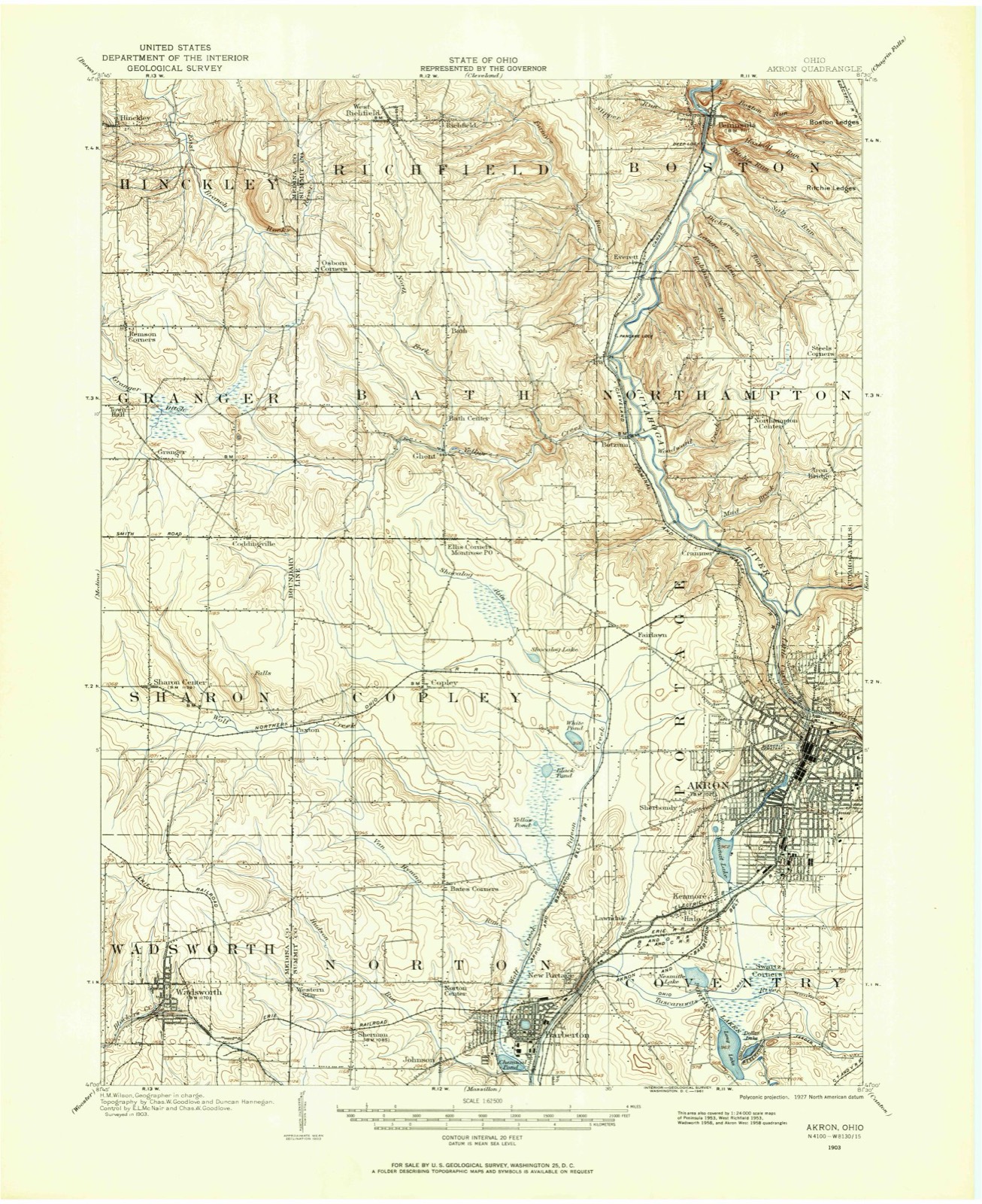
Topographic sheets covering this place
22 sheetsMatched by testing this settlement's coordinate against the published boundary of every sheet in the United States Geological Survey's historical collection. Each opens the scanned sheet at the Survey.
- 1903 USGS Akron quadrangle1:62500
- 1905 USGS Akron quadrangle1:62500
- 1905 USGS Akron quadrangle1:62500
- 1905 USGS Akron quadrangle1:62500
- 1905 USGS Akron quadrangle1:62500
- 1905 USGS Akron quadrangle1:62500
- 1905 USGS Akron quadrangle1:62500
- 1905 USGS Akron quadrangle1:62500
- 1956 USGS Cleveland quadrangle1:250000
- 1956 USGS Cleveland quadrangle1:250000
- 1956 USGS Cleveland quadrangle1:250000
- 1958 USGS Akron West quadrangle1:24000
- 1962 USGS Cleveland quadrangle1:250000
- 1967 USGS Akron West quadrangle1:24000
- 1967 USGS Akron West quadrangle1:24000
- 1967 USGS Akron West quadrangle1:24000
- 1967 USGS Akron West quadrangle1:24000
- 1967 USGS Akron West quadrangle1:24000
- 1967 USGS Akron West quadrangle1:24000
- 1986 USGS Cleveland South quadrangle1:100000
- 1994 USGS Akron West quadrangle1:24000
- 1994 USGS Cleveland South quadrangle1:100000






In the 1908 county history
1,608 words on this townshipThe county history of 1908 has no passage naming this settlement, which was common for the smaller places. Its township is covered in full.
The chapter on Coventry Township covers the township.
Read the chapter on Coventry Township - 1,608 words.
Specimens collected nearby
12 of 722 shownMuseums hold 722 specimens collected within 10 miles of Portage Lakes between 1867 and 1975: 615 Animalia, 62 Plantae, 43 Fungi, 1 Unrecorded, 1 Bacteria. 12 distinct Species records are shown. Collected by (no collector listed), A. W. Cusick, A. Woolman and others. Each is a physical object with a catalogue number, and each entry opens the museum's record. This is what was collected and kept, not a survey of what lives here - nothing can be concluded from a species being absent.
| Image | Species | Year | Collected by | Where, as recorded |
|---|---|---|---|---|
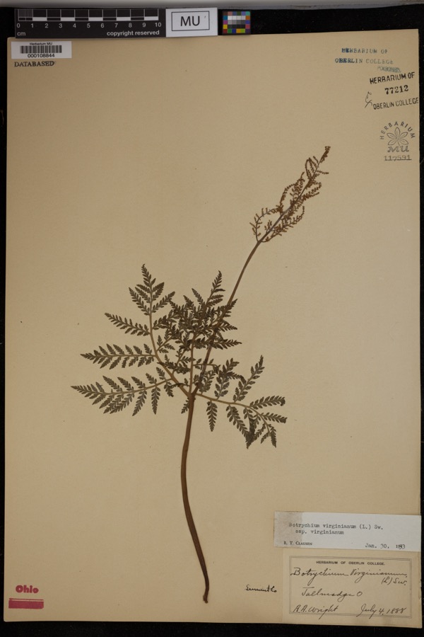 | Botrychium virginianum subsp. virginianum | 1888 | Wright, A.A. | Tallmadge. |
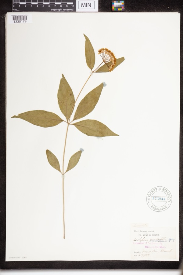 | Asclepias quadrifolia Jacq. | 1889 | Foltz, Kent O. | Sand Run Park; Akron |
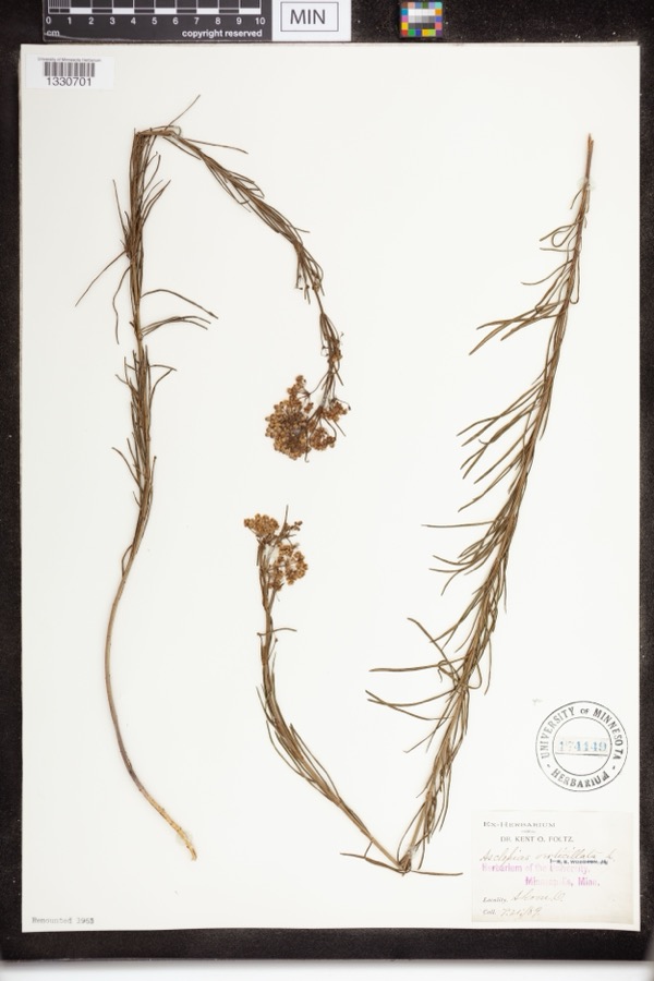 | Asclepias verticillata L. | 1889 | not recorded | Akron |
 | Accipiter striatus velox (A.Wilson, 1812) | 1867 | Collector(s): James Lee Peters | Akron |
 | Dryopteris carthusiana (Vill.) H.P.Fuchs | 1880 | F. O. Payne | Akron |
 | Geum aleppicum Jacq. | 1887 | Elliott | Greensburg |
 | Geum canadense Jacq. | 1887 | Elliott | Greensburg |
 | Hydrastis canadensis L. | 1888 | E.L. Sturtevant II | |
 | Lonicera dioica L. | 1888 | K. O. Foltz | |
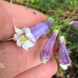 | Penstemon hirsutus (L.) Willd. | 1888 | K. O. Foltz | |
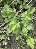 | Agrimonia gryposepala Wallr. | 1889 | Elliott | Greensburg |
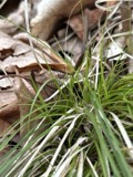 | Carex pensylvanica Lam. | 1889 | Foltz, K.O. | Akron |
All 722 specimens within 10 miles, at the Global Biodiversity Information Facility.
Mines and quarries nearby
10 of 13 shownThe federal mineral resources record lists 13 workings within 5 miles of Portage Lakes: 6 past producers, 5 producers, 2 plants. 7 still produce. What was taken out: Sand and Gravel, Construction, Stone, Crushed/Broken, Stone, Crushed/Broken, Clay, Coal, Limestone, General. Distance is straight-line from the map coordinates, so a quarry counted here may appear on a neighbouring settlement's page as well.
| Where | Site | Commodity | Status | Recorded |
|---|---|---|---|---|
| Barberton Cement Plant | Marble, Dimension, Cement Rock | Producer | ||
| Barberton Limestone Mine | Limestone, General | Past Producer | Sedimentary | |
| Carbon Limestone Company Quarry | Stone, Crushed/Broken, Clay, Coal | Producer | ||
| Ppg Indus Brine Wells Plant | Salt | Producer | ||
| Barberton Sand Plant & Quarry | Stone, Crushed/Broken | Plant | ||
| Barberton Sand Quarry | Stone, Crushed/Broken | Past Producer | Sedimentary | |
| Barberton Pit | Sand and Gravel, Construction | Past Producer | Sedimentary | |
| Flesher Pit | Sand and Gravel, Construction | Past Producer | Sedimentary | |
| Hammond Brothers Gravel Pit | Sand and Gravel, Construction | Past Producer | Sedimentary | |
| Hammond Brothers Gravel Pit | Sand and Gravel, Construction | Producer |
Storms nearby
13 since 1998The National Weather Service names Portage Lakes in 13 storm reports between 1998 and 2026: 8 thunderstorm wind, 4 hail, 1 tornado. No death or injury is recorded in these reports. Each account below is quoted exactly as the forecast office filed it, from the NOAA Storm Events Database, and each date opens the federal record of that event.
| When | Event | Place named | Harm | What the report says |
|---|---|---|---|---|
| August 2007 | Thunderstorm Wind | Portage Lakes | $50,000 | Numerous trees and large limbs were reported down near the Nimisila Reservoir and throughout Portage Lakes State Park. Reports of trees down extended just north into Coventry Township. |
| April 2018 | Tornado (EF1) | Portage Lakes | $25,000 | An EF1 tornado briefly touched down along Manchester Road in Coventry Township. The initial touchdown occurred in a restaurant parking lot. Two signs and a light pole at the restaurant were damaged. The tornado then crossed Manchester Road and flipped a parked car at a second restaurant. Another car nearby was spun around several times. Several tree limbs were also snapped. No injuries were reported. This tornado was captured on a security camera video. The tornado appeared to be on the ground for just over a tenth of a mile. |
| June 2015 | Thunderstorm Wind | Portage Lakes | $12,000 | Trained weather spotter reported 6-8 trees down around Manchester Road south of Akron. Several 90 foot trees were also brought down by thunderstorm winds in northwest portions of Green. Extremely heavy rainfall accompanied the storms. |
| June 2005 | Hail | Portage Lakes | $10,000 | Quarter size hail was observed. |
| March 2026 | Hail | Portage Lakes | - | Hail up to penny-size near Melv Drive and Lockwood Road in the Barberton and Portage Lakes area. |
| June 2025 | Thunderstorm Wind | Portage Lakes | - | Downed trees caused the closure of Coleman Drive, near Laddie Drive, in New Franklin. |
| May 2025 | Thunderstorm Wind | Portage Lakes | - | Tree downed along Provens Drive in Green. |
| May 2025 | Thunderstorm Wind | Portage Lakes | - | OH Route 619, just west of State Street, became impassable due to downed trees in Portage Lakes. |
| May 2025 | Thunderstorm Wind | Portage Lakes | - | Medium to large tree branches downed at Rose Circle Drive and Akron View Drive in Barberton. |
| April 2023 | Thunderstorm Wind | Portage Lakes | - | Numerous trees downed near intersection of Christman and East Caston Roads in Green. |
| July 2022 | Thunderstorm Wind | Portage Lakes | - | Trees downed in Portage Lakes. |
| May 2019 | Hail | Portage Lakes | - | no account filed |
| June 1998 | Hail | Portage Lakes | - | no account filed |
Nearest settlements
The eight closest, with where each one stands in the county. Distances are straight-line, computed from the Geographic Names Information System coordinates.
| Map | Place | Distance | Sheets |
|---|---|---|---|
| Lakeview | 0.7 miles | 18 | |
| Infant of Prague Villa | 1.0 miles | 18 | |
| Turkeyfoot Heights | 1.5 miles | 18 | |
| Swartz Corners | 1.5 miles | 22 | |
| Cottage Grove | 1.5 miles | 18 | |
| Lockwood Corners | 1.7 miles | 18 | |
| Coventry Estates | 1.9 miles | 16 | |
| Robins Trace | 2.0 miles | 18 |
Elsewhere
Matched on this settlement's Geographic Names Information System number rather than its name, so it cannot be a different place of the same name in another state.
| Wikipedia article on Portage Lakes | An encyclopaedic summary. Its text is share-alike, so it is linked here rather than copied. |
| Wikidata item Q3313437 | The structured record the population and elevation above come from. Public domain (CC0). |
Provenance
This settlement is recorded in the Geographic Names Information System as feature 1058169. The sheet list is computed by point-in-boundary test against the United States Geological Survey's historical topographic inventory. Both are works of the United States government and carry no copyright under 17 U.S.C. 105.
Specimens. Global Biodiversity Information Facility (GBIF), https://www.gbif.org/. Only records licensed CC0 or CC BY are used. Records licensed CC BY-NC are excluded because this site carries advertising. Images are checked individually and any whose licence is non-commercial, no-derivatives or unreadable is refused.
Mines and quarries. USGS Mineral Resources Data System (MRDS) https://mrdata.usgs.gov/mrds/ A work of the United States government, no copyright under 17 U.S.C. 105.
Storms. NOAA National Centers for Environmental Information, Storm Events Database https://www.ncei.noaa.gov/stormevents/ A work of the United States government, no copyright under 17 U.S.C. 105. Narratives are quoted verbatim from the National Weather Service report and are not edited or summarised.