 Block
Block
Princeton, Ohio
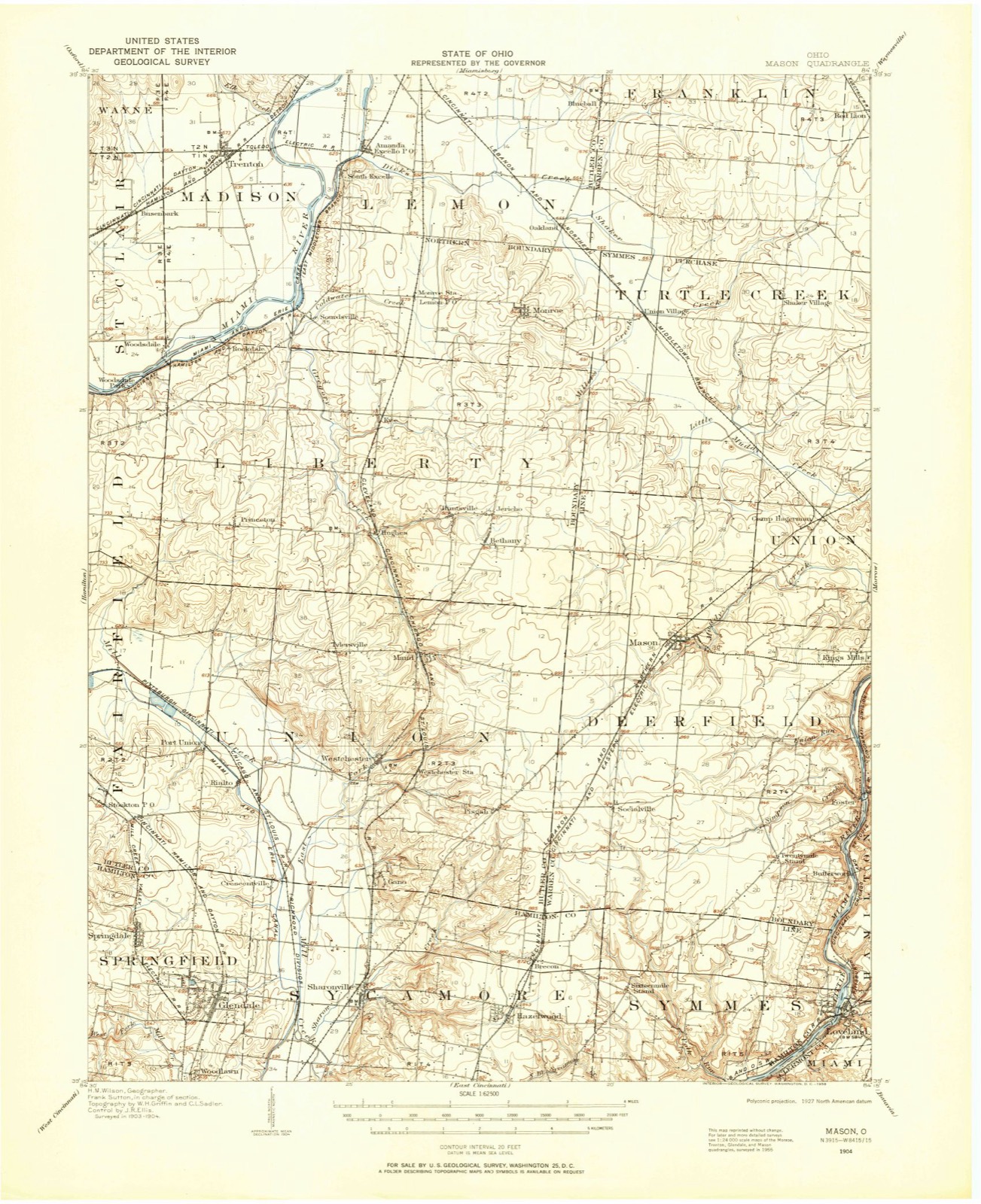
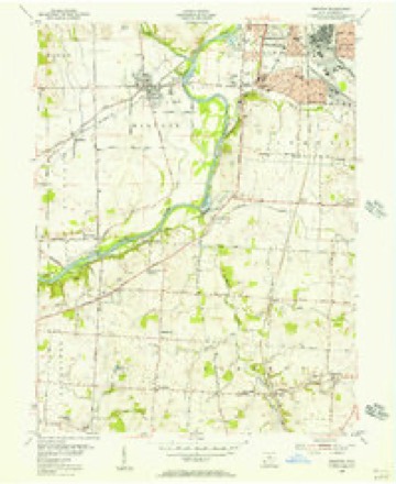
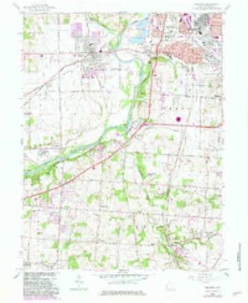
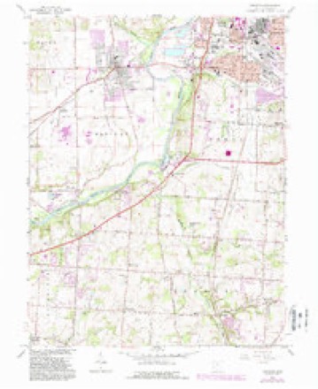
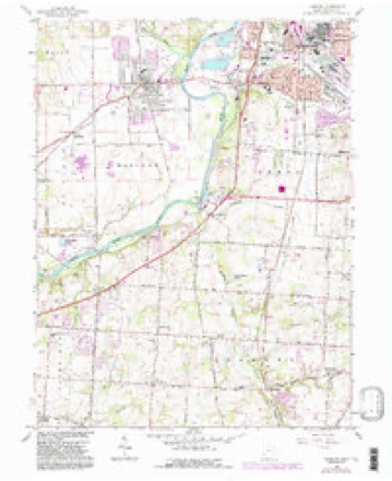
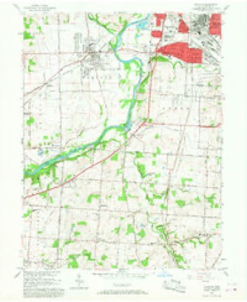
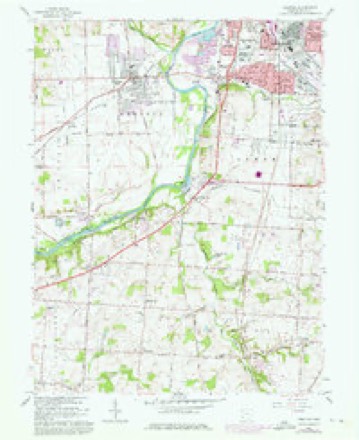
16 topographic sheets cover this place, the earliest surveyed in 1904 and the latest in 1986. It stands in Liberty Township. It lies in ZIP code area 45011. The Survey maps it on the Trenton quadrangle.
Then and now
1904 to 1986The same ground, surveyed 82 years apart. Drag the handle to wipe between them. Both sheets are United States Geological Survey originals; neither has been altered.

Topographic sheets covering this place
16 sheetsMatched by testing this settlement's coordinate against the published boundary of every sheet in the United States Geological Survey's historical collection. Each opens the scanned sheet at the Survey.
- 1904 USGS Mason quadrangle1:62500
- 1906 USGS Mason quadrangle1:62500
- 1906 USGS Mason quadrangle1:62500
- 1953 USGS Cincinnati quadrangle1:250000
- 1953 USGS Cincinnati quadrangle1:250000
- 1953 USGS Cincinnati quadrangle1:250000
- 1955 USGS Trenton quadrangle1:24000
- 1957 USGS Cincinnati quadrangle1:250000
- 1966 USGS Trenton quadrangle1:24000
- 1966 USGS Trenton quadrangle1:24000
- 1966 USGS Trenton quadrangle1:24000
- 1966 USGS Trenton quadrangle1:24000
- 1966 USGS Trenton quadrangle1:24000
- 1986 USGS Cincinnati quadrangle1:100000
- 1986 USGS Cincinnati quadrangle1:100000
- 1986 USGS Cincinnati quadrangle1:100000







In the county-history sources
15,567 words on this townshipA History and Biographical Cyclopædia of Butler County, Ohio : with Illustrations and Sketches of Its Representative Men and Pioneers, published 1882 names this settlement in its chapter on Liberty Township. These are the passages that mention it, exactly as the scans read.
John Morrow was settled on land now owned by David Swearingen, before 1803. His brother, Jeremiah Morrow, was governor of Ohio. John Morrow was the first justice of the peace in Liberty Township, and served in that capacity for eighteen years. He was followed by 'Squire McLean, who held the office twentyfour years, and following him was Silas Williamson, who is, and has been, 'squire for fifteen years. Hach of these three men have been peace-makers in the strict sense of that term.
Passage source: A History and Biographical Cyclopædia of Butler County, Ohio : with Illustrations and Sketches of Its Representative Men and Pioneers, published 1882.
Bethany was laid off into lots, four by eight rods, in 1822, by Samuel Lowery. Five of these lots were surveyed by Nesbit, and were on the east side of the street.. A man by the name of Crawford built a house just opposite where Squire McLean lives now, and kept a grocery; it was a small affair at first, there not being ten dollars' worth of goods in his house. The first blacksmith's shop was in the woods at that time, and just opposite where Mr. Legg now lives. It was kept by Mr. Busby. He was followed by Mr. Garrett, and he in turn by Peter C. Dilley. This was before 1822.
Passage source: A History and Biographical Cyclopædia of Butler County, Ohio : with Illustrations and Sketches of Its Representative Men and Pioneers, published 1882.
Mr. McLean came to Butler County in 1808, and settled on Seven-Mile, Wayne Township, where he purchased a hundred acres of land. He came down the Ohio River in a flat-boat. He traded his farm in Pennsylvania for castings and sold them in Cincinnati, and with their proceeds purchased here. He died in Union Township, September 12, 1824, and his wife died September 27, 1834, in Springfield Township, Hamilton County. His son, John McLean, was born February 13, 1810, in Wayne Township, and married first, January 3, 1843, Sarah R. Clayton, born in Liberty May 5, 1813, and died September 19, 1847. They had one child, Anna Isabella, born November 3, 1844. She died June 3, 1846. He married second, November 20, 1850, Mary Ann Beatty, daughter of John R. Beatty and Nancy (Stewart) Beatty. She was born in Liberty, December 29, 1814. By her he had three children, one being now alive, Lewis. He was born October 18, 1852, and is married. John A., born January 7, 1855, died an infant; and William C., born March 6, 1860, died August 5, 1881.
Passage source: A History and Biographical Cyclopædia of Butler County, Ohio : with Illustrations and Sketches of Its Representative Men and Pioneers, published 1882.
Machine-read from a century-old scan, so expect the errors a machine makes: misspelled names, dropped words, stray characters.
Read the whole chapter on Liberty Township - it names this place 10 more 10 times.
Specimens collected near this place
12 of 461 shownRegional context, not property-specific evidence. Museums hold 461 specimens collected within 10 miles of Princeton between 1835 and 1975: 396 Animalia, 39 Plantae, 25 Fungi, 1 Unrecorded. 12 distinct Species records are shown. Collected by A. C. Billups, A. R. Gaufin, A.R. Gaufin, H.H. Ross and others. Each is a physical object with a catalogue number, and each entry opens the museum's record. This is what was collected and kept, not a survey of what lives here - nothing can be concluded from a species being absent.
| Image | Species | Year | Collected by | Where, as recorded |
|---|---|---|---|---|
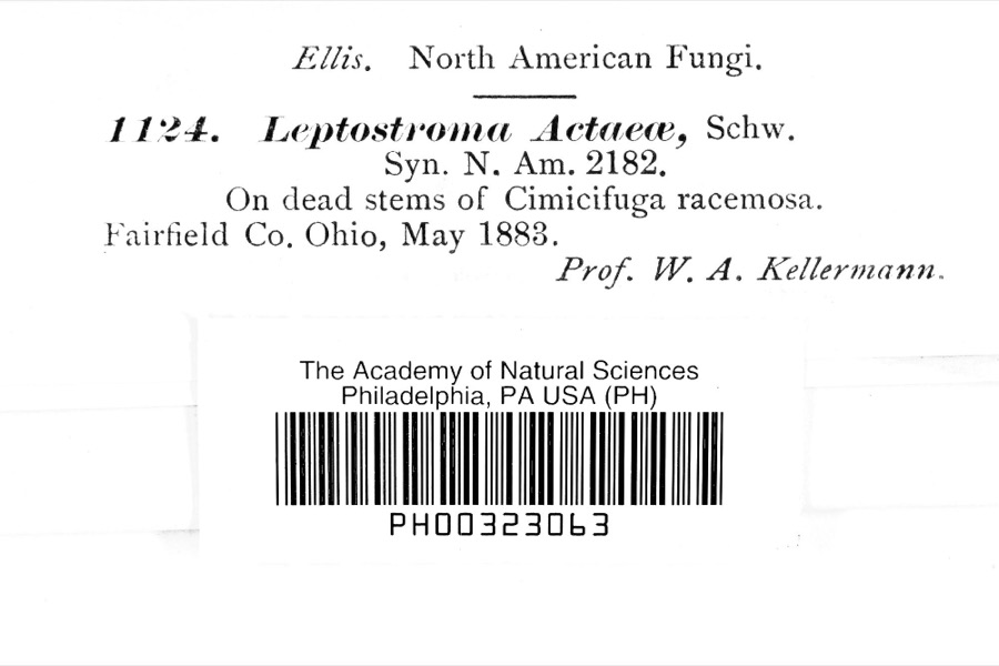 | Leptostromataceae | 1883 | Prof. W. A. Kellerman | |
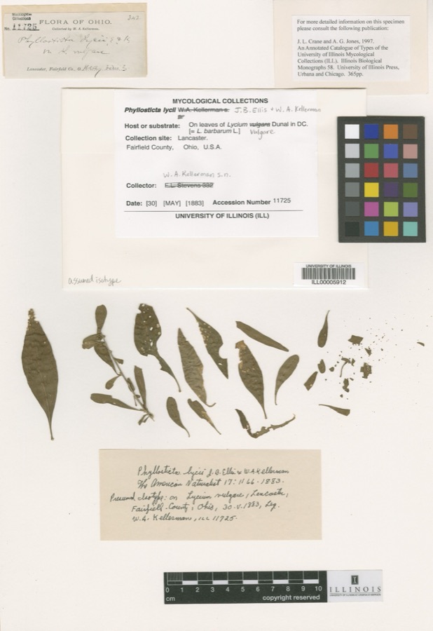 | Phyllosticta Pers., 1818 | 1883 | W. A. Kellerman | Lancaster. |
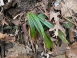 | Carex careyana Torr. ex Dewey | 1835 | Collector unknown | In ditione "Miami" civitatis Ohio. |
| Carex convoluta Mack. | 1835 | Collector unspecified | "Miami" | |
 | Carex gracillima Schwein. | 1835 | B. Frank | In ditione "Miami" civitatis Ohio. |
 | Calidris melanotos (Vieillot, 1819) | 1879 | W. Douglass | Jones Station |
 | Coluber constrictor Linnaeus, 1758 | 1879 | not recorded | Hughes |
 | Diadophis punctatus arnyi Kennicott, 1859 | 1879 | not recorded | Hughes |
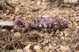 | Lampropeltis triangulum (Lacépède, 1789) | 1879 | not recorded | Hughes |
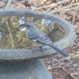 | Mimus polyglottos (Linnaeus, 1758) | 1879 | Porter collection, J.B. | LOCNM: Jones |
 | Spiza americana (J.F.Gmelin, 1789) | 1879 | Porter, J.B. | |
 | Storeria dekayi (Holbrook, 1839) | 1879 | not recorded | Hughes |
All 461 specimens within 10 miles, at the Global Biodiversity Information Facility.
Mines and quarries near this place
2 within 5 milesRegional context, not property-specific evidence. The federal mineral resources record lists 2 workings within 5 miles of Princeton: 1 producer, 1 past producer. 1 still produces. What was taken out: Sand and Gravel, Construction. Distance is straight-line from the map coordinates, so a quarry counted here may appear on a neighbouring settlement's page as well.
| Where | Site | Commodity | Status | Recorded |
|---|---|---|---|---|
| Aggregate Services Pit | Sand and Gravel, Construction | Producer | ||
| Fairfield Pit | Sand and Gravel, Construction | Past Producer |
Storms near this place
3 since 2016Regional context, not property-specific evidence. The National Weather Service names Princeton in 3 storm reports between 2016 and 2018: 2 flash flood, 1 hail. No death or injury is recorded in these reports. Each account below is quoted exactly as the forecast office filed it, from the NOAA Storm Events Database, and each date opens the federal record of that event.
| When | Event | Place named | Harm | What the report says |
|---|---|---|---|---|
| April 2018 | Flash Flood | Princeton | - | State Route 747 was closed in both directions between Princeton and Milikin Roads due to high water. |
| March 2017 | Flash Flood | Princeton | - | High water was covering State Route 747 near State Route 129. |
| May 2016 | Hail | Princeton | - | no account filed |
Nearest settlements
The eight closest, with where each one stands in the county. Distances are straight-line, computed from the Geographic Names Information System coordinates.
| Map | Place | Distance | Sheets |
|---|---|---|---|
| Greystone | 1.0 miles | 16 | |
| Millikin (historical) | 1.0 miles | 15 | |
| Snow Hill | 1.1 miles | 16 | |
| Arbor Crest | 1.2 miles | 16 | |
| Maustown | 1.2 miles | 16 | |
| Country View Estates | 2.0 miles | 16 | |
| Brofield Estates | 2.0 miles | 16 | |
| Country Club Highlands | 2.1 miles | 16 |
Provenance
This settlement is recorded in the Geographic Names Information System as feature 1062956. The sheet list is computed by point-in-boundary test against the United States Geological Survey's historical topographic inventory. Both are works of the United States government and carry no copyright under 17 U.S.C. 105.
Specimens. Global Biodiversity Information Facility (GBIF), https://www.gbif.org/. Only records licensed CC0 or CC BY are used. Records licensed CC BY-NC are excluded because this site carries advertising. Images are checked individually and any whose licence is non-commercial, no-derivatives or unreadable is refused.
Mines and quarries. USGS Mineral Resources Data System (MRDS) https://mrdata.usgs.gov/mrds/ A work of the United States government, no copyright under 17 U.S.C. 105.
Storms. NOAA National Centers for Environmental Information, Storm Events Database https://www.ncei.noaa.gov/stormevents/ A work of the United States government, no copyright under 17 U.S.C. 105. Narratives are quoted verbatim from the National Weather Service report and are not edited or summarised.