 Block
Block
Quincy, Ohio
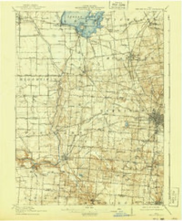
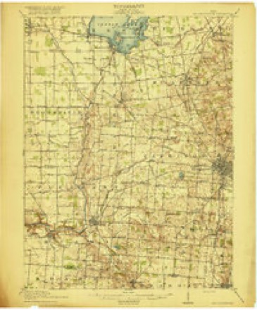
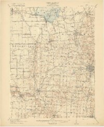
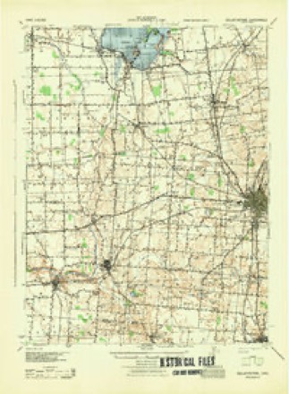
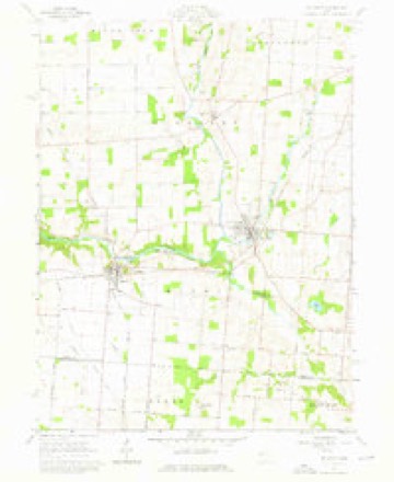
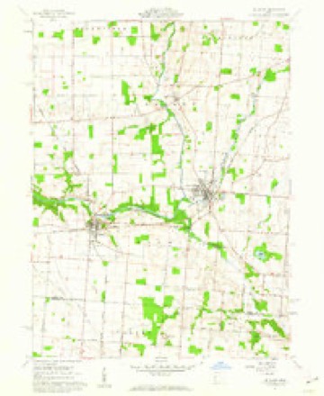
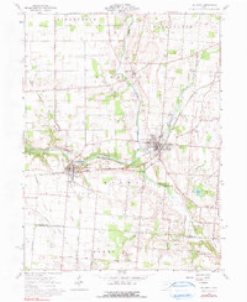
16 topographic sheets cover this place, the earliest surveyed in 1913 and the latest in 1992. It stands in Miami Township. It lies in ZIP code area 43343. The Survey maps it on the De Graff quadrangle. 536 people lived here at the 2020 count. It stands 1,053 feet above sea level.
Population over time
2 figuresQuincy fell from 706 to 536 between 2010 and 2020. These are the recorded population figures Wikidata holds for this place, reached through the Geographic Names Information System number this page is keyed on rather than by name, so they belong to this place and not to another of the same name. Most are census counts, but not all are: an early figure may be a founding or settlement estimate. The change column is computed, and is left blank where more than 20 years separate a figure from the one before it, because a gap that long is not a change between two counts.
| Year | People | Change |
|---|---|---|
| 2010 | 706 | |
| 2020 | 536 | -170 (-24%) |
Then and now
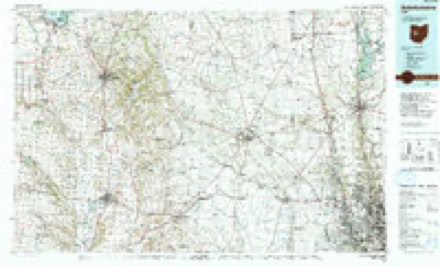
1913 to 1992The same ground, surveyed 79 years apart. Drag the handle to wipe between them. Both sheets are United States Geological Survey originals; neither has been altered.
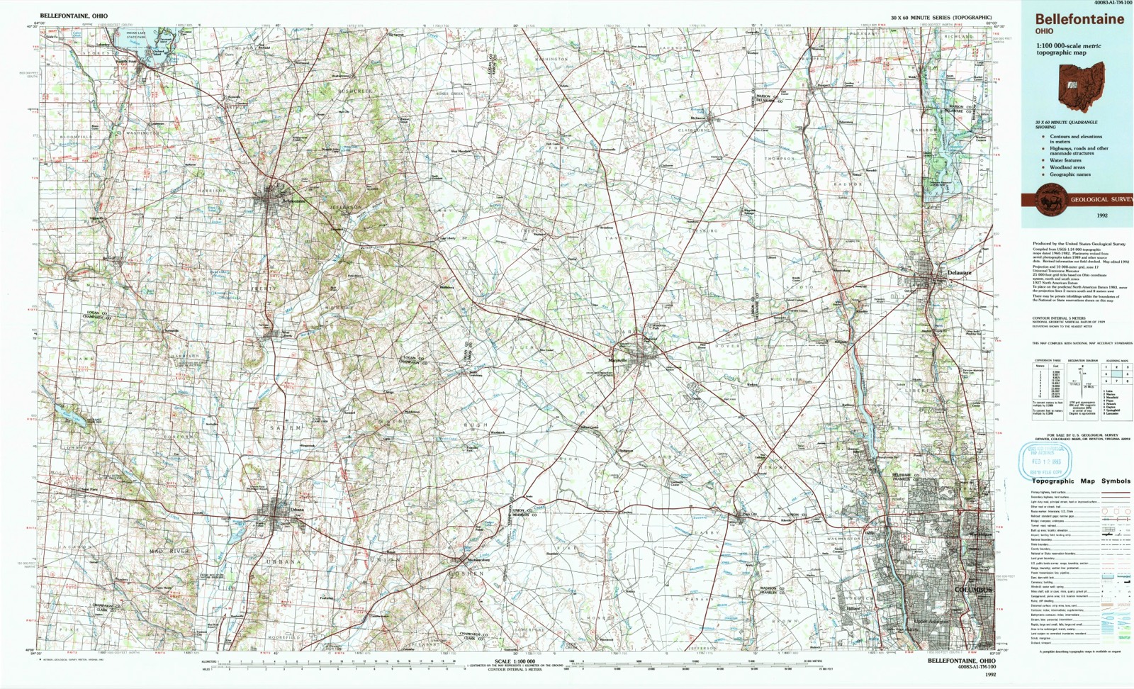
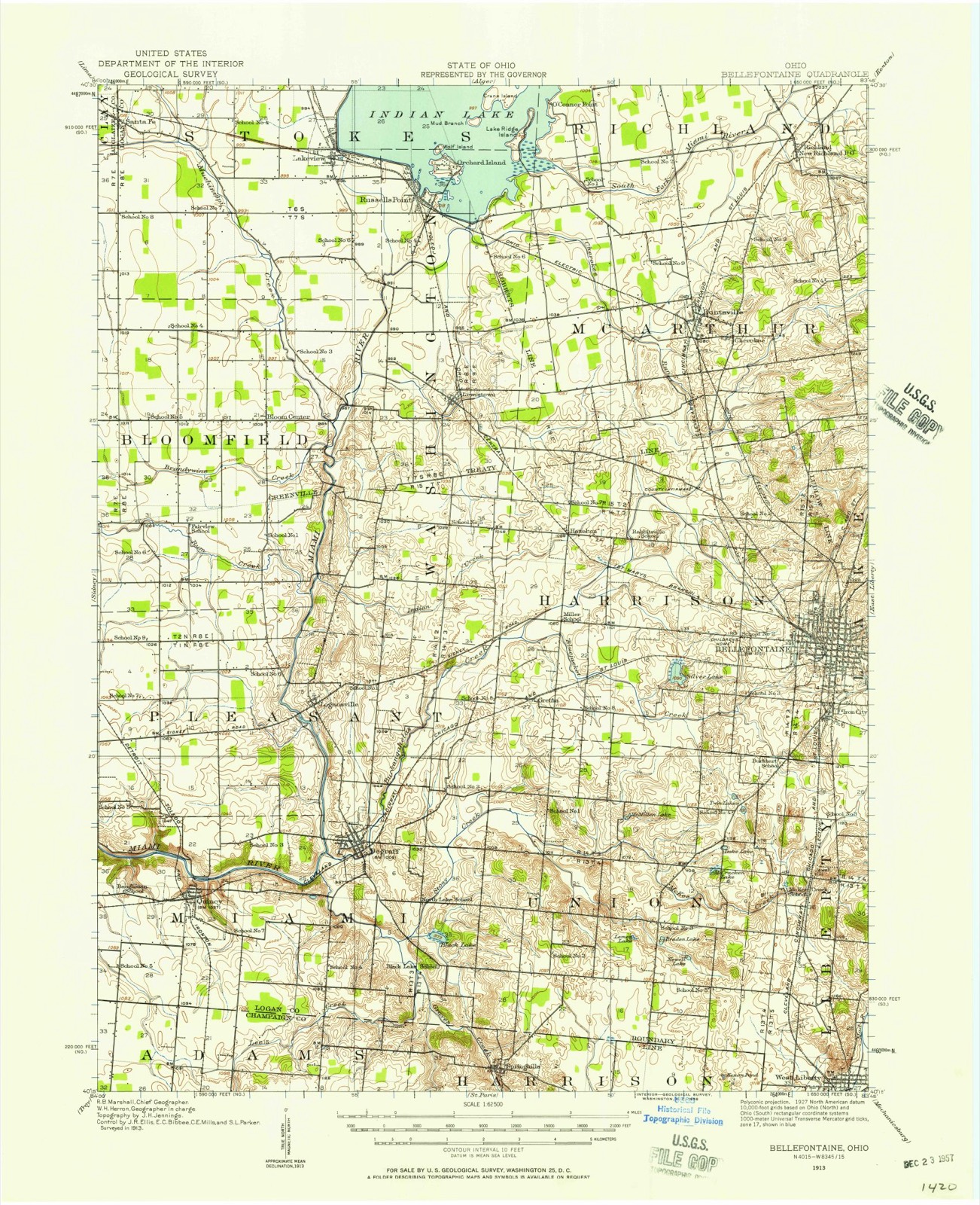
Topographic sheets covering this place
16 sheetsMatched by testing this settlement's coordinate against the published boundary of every sheet in the United States Geological Survey's historical collection. Each opens the scanned sheet at the Survey.
- 1913 USGS Bellefontaine quadrangle1:62500
- 1913 USGS Bellefontaine quadrangle1:48000
- 1915 USGS Bellefontaine quadrangle1:62500
- 1915 USGS Bellefontaine quadrangle1:62500
- 1915 USGS Bellefontaine quadrangle1:62500
- 1944 USGS Bellefontaine quadrangle1:62500
- 1950 USGS Marion quadrangle1:250000
- 1961 USGS De Graff quadrangle1:24000
- 1961 USGS De Graff quadrangle1:24000
- 1961 USGS De Graff quadrangle1:24000
- 1962 USGS Marion quadrangle1:250000
- 1966 USGS Marion quadrangle1:250000
- 1966 USGS Marion quadrangle1:250000
- 1966 USGS Marion quadrangle1:250000
- 1986 USGS Bellefontaine quadrangle1:100000
- 1992 USGS Bellefontaine quadrangle1:100000





In the county-history sources
88,173 words on this townshipHistory of Logan County and Ohio : Containing a History of the State of Ohio, from Its Earliest Settlement to the Present Time ... a History of Logan County, Giving an Account of Its Aboriginal Inhabitants ... Biographical Sketches, Portraits of Some of the Early Settlers and Prominent Men, Etc, published 1880 names this settlement in its chapter on Miami Township. These are the passages that mention it, exactly as the scans read.
Irwin, was a native of Pennsylvania, and went from there to Kentucky, where he was married to Mary Thompson. In 1809 he came to this State and settled in Champaign Co. He served as a guard at McPherson's Blockhouse during the war of 1812, and died near Bellefontaine. Jane was early inured to hard labor, and worked in a dairy eleven years. She was married to Joseph T. Wright March 1, 1827. He was a son of William and Jane Wright, and was born June 10, 1803, in Adams Co., O. After marriage they lived in Champaign Co. until 1835, when they bought a quarter section of land near Quincy, for $300, and on Christmas moved on their farm, the house having no door, window, chimney or chinking. In this they lived until the following summer, when it was made more eon]- fortable. Mrs. Wright assisted her husband in the duties of the farm, and for many years took in weaving. In 1858 they moved to Quincy, and in January, 1865, sold their property and came to Northwood, where he died Sept. 18, 1868. Their union was blessed witli two children - Mary J. and William. Both have taught school, the son graduating at Oxford College, and studied theology there, receiving license to preach in 1853. He was principal of the schools at Xenia, and at Richmond, Ind., one year each. He died in March, 1873, at Grand Rapids, O., where he was teaching school and preaching. The whole family became identified with the United Presbyterian Church many years ago, Mr. Wright serving as Elder about 25 years.
Passage source: History of Logan County and Ohio : Containing a History of the State of Ohio, from Its Earliest Settlement to the Present Time ... a History of Logan County, Giving an Account of Its Aboriginal Inhabitants ... Biographical Sketches, Portraits of Some of the Early Settlers and Prominent Men, Etc, published 1880.
Machine-read from a century-old scan, so expect the errors a machine makes: misspelled names, dropped words, stray characters.
Read the whole chapter on Miami Township - it names this place 2 more 2 times.
Specimens collected near this place
12 of 233 shownRegional context, not property-specific evidence. Museums hold 233 specimens collected within 10 miles of Quincy between 1908 and 1975: 217 Animalia, 10 Fungi, 4 Plantae, 2 Protozoa. 12 distinct Species records are shown. Collected by A Schwartz, A. R. Gaufin, A.R. Gaufin, H.H. Ross and others. Each is a physical object with a catalogue number, and each entry opens the museum's record. This is what was collected and kept, not a survey of what lives here - nothing can be concluded from a species being absent.
| Image | Species | Year | Collected by | Where, as recorded |
|---|---|---|---|---|
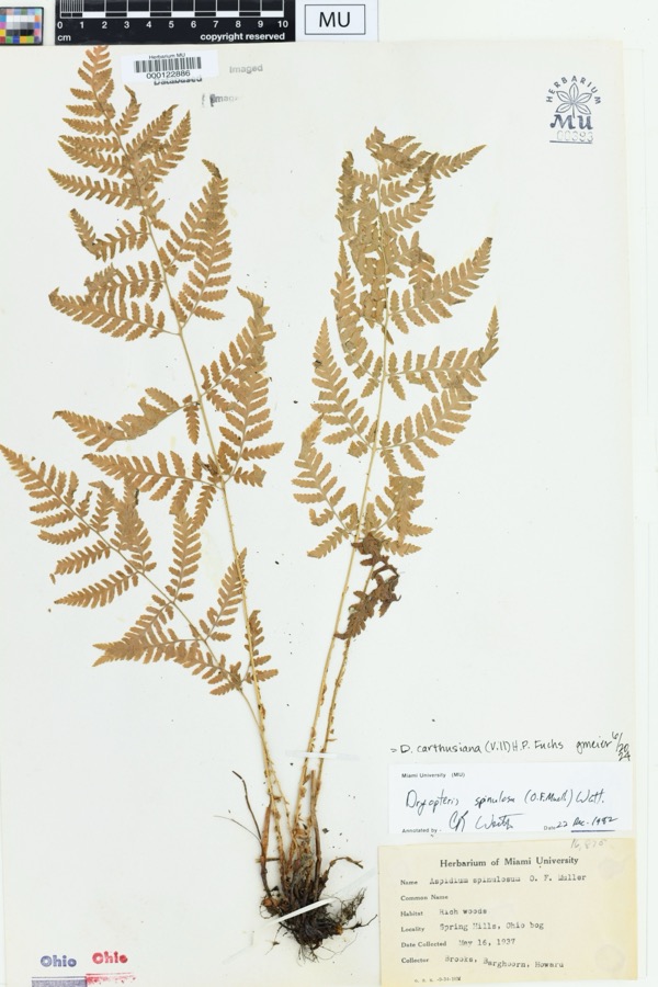 | Dryopteris spinulosa (O.F.Müll.) Watt | 1937 | Brooks; Barghoorn. Howard. | Soringhills, Harison, OH. Ohio bog |
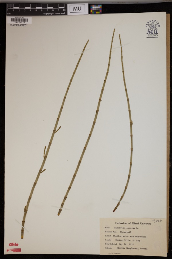 | Equisetum limosum L. | 1937 | Brooks; et al. | Spring Hills. Shallow water and mud-banks. |
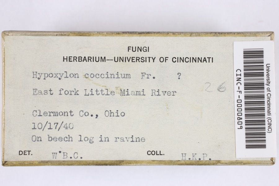 | Hypoxylon coccineum Bull. | 1940 | Phinney, Harry Kenyon | East fork of Little Miami River |
| Sclerotiniaceae | 1908 | Ficher, J. L. | Quincy | |
 | Ganoderma lucidum (Curtis) P.Karst. | 1909 | Stover W. G.; Fink G. C. | Lewistown |
| Pioscelus borealis (Ashmead, 1891) | 1927 | Beamer, Raymond | unspecified | |
 | Rhinichthys atratulus meleagris Agassiz, 1854 | 1928 | Trautman, M. B. (Milton Bernard) | Stoney Creek, within Logan Co, Logan County, township n/a |
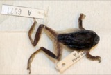 | Hyla versicolor LeConte, 1825 | 1929 | Walker, C. F. (Charles F.) | 5 mi East of De Graff, Logan Co., Ohio |
 | Ameiurus melas (Rafinesque, 1820) | 1930 | MB Trautman | Miami River at Quincy, Miami Twp, trib of Ohio River |
 | Campostoma anomalum anomalum | 1930 | MB Trautman | Buckongehales Run, trib of the Miami River, extreme NE Pleasant Twp |
 | Carpiodes cyprinus hinei Trautman, 1956 | 1930 | Trautman, M. B. (Milton Bernard) & Foster, R. (Robert) | Great Miami river, northeast Bloomfield Township, near Lewistown, Bloomfield township |
 | Catostomus commersonnii commersonnii (Lacepède, 1803) | 1930 | MB Trautman | Miami River at Quincy, Miami Twp, trib of Ohio River |
All 233 specimens within 10 miles, at the Global Biodiversity Information Facility.
Mines and quarries near this place
2 within 5 milesRegional context, not property-specific evidence. The federal mineral resources record lists 2 workings within 5 miles of Quincy: 2 past producers. None of them still produces. What was taken out: Sand and Gravel, Construction. Distance is straight-line from the map coordinates, so a quarry counted here may appear on a neighbouring settlement's page as well.
| Where | Site | Commodity | Status | Recorded |
|---|---|---|---|---|
| Weiskittle Pit | Sand and Gravel, Construction | Past Producer | Sedimentary | |
| Weiskittle Pit | Sand and Gravel, Construction | Past Producer |
Storms near this place
9 since 2003Regional context, not property-specific evidence. The National Weather Service names Quincy in 9 storm reports between 2003 and 2025: 6 thunderstorm wind, 2 hail, 1 flood. No death or injury is recorded in these reports. Each account below is quoted exactly as the forecast office filed it, from the NOAA Storm Events Database, and each date opens the federal record of that event.
| When | Event | Place named | Harm | What the report says |
|---|---|---|---|---|
| April 2025 | Thunderstorm Wind | Quincy | $10,000 | A garage and outbuilding were damaged in the 5200 block of County Road 4. |
| July 2003 | Thunderstorm Wind | Quincy | $6,000 | Trees were knocked down. |
| June 2007 | Thunderstorm Wind | Quincy | $5,000 | A chicken house and nearby shed sustained minor damage. Nearby trees and large limbs were also knocked down. |
| July 2006 | Thunderstorm Wind | Quincy | $2,000 | Large tree limbs were knocked down. |
| May 2011 | Thunderstorm Wind | Quincy | $1,000 | A tree was reported to be down due to damaging thunderstorm winds. |
| August 2009 | Thunderstorm Wind | Quincy | $1,000 | Trees were reported down due to damaging thunderstorm winds. |
| March 2020 | Flood | Quincy | - | High water was reported on several roads across the southwest portions of the county. |
| May 2014 | Hail | Quincy | - | no account filed |
| July 2014 | Hail | Quincy | - | no account filed |
Nearest settlements
The eight closest, with where each one stands in the county. Distances are straight-line, computed from the Geographic Names Information System coordinates.
| Map | Place | Distance | Sheets |
|---|---|---|---|
| De Graff | 2.9 miles | 16 | |
| Logansville | 3.8 miles | 16 | |
| Gretna | 6.7 miles | 17 | |
| Mount Tabor (historical) | 7.2 miles | 16 | |
| Bloom Center | 8.2 miles | 16 | |
| McMorran | 8.9 miles | 16 | |
| Lewistown | 9.6 miles | 16 | |
| Muchinippi (historical) | 9.7 miles | 16 |
Elsewhere
Matched on this settlement's Geographic Names Information System number rather than its name, so it cannot be a different place of the same name in another state.
| Wikipedia article on Quincy | An encyclopaedic summary. Its text is share-alike, so it is linked here rather than copied. |
| Wikidata item Q1475165 | The structured record the population and elevation above come from. Public domain (CC0). |
Provenance
This settlement is recorded in the Geographic Names Information System as feature 1044829. The sheet list is computed by point-in-boundary test against the United States Geological Survey's historical topographic inventory. Both are works of the United States government and carry no copyright under 17 U.S.C. 105.
Specimens. Global Biodiversity Information Facility (GBIF), https://www.gbif.org/. Only records licensed CC0 or CC BY are used. Records licensed CC BY-NC are excluded because this site carries advertising. Images are checked individually and any whose licence is non-commercial, no-derivatives or unreadable is refused.
Mines and quarries. USGS Mineral Resources Data System (MRDS) https://mrdata.usgs.gov/mrds/ A work of the United States government, no copyright under 17 U.S.C. 105.
Storms. NOAA National Centers for Environmental Information, Storm Events Database https://www.ncei.noaa.gov/stormevents/ A work of the United States government, no copyright under 17 U.S.C. 105. Narratives are quoted verbatim from the National Weather Service report and are not edited or summarised.