 Block
Block
Radnor, Ohio
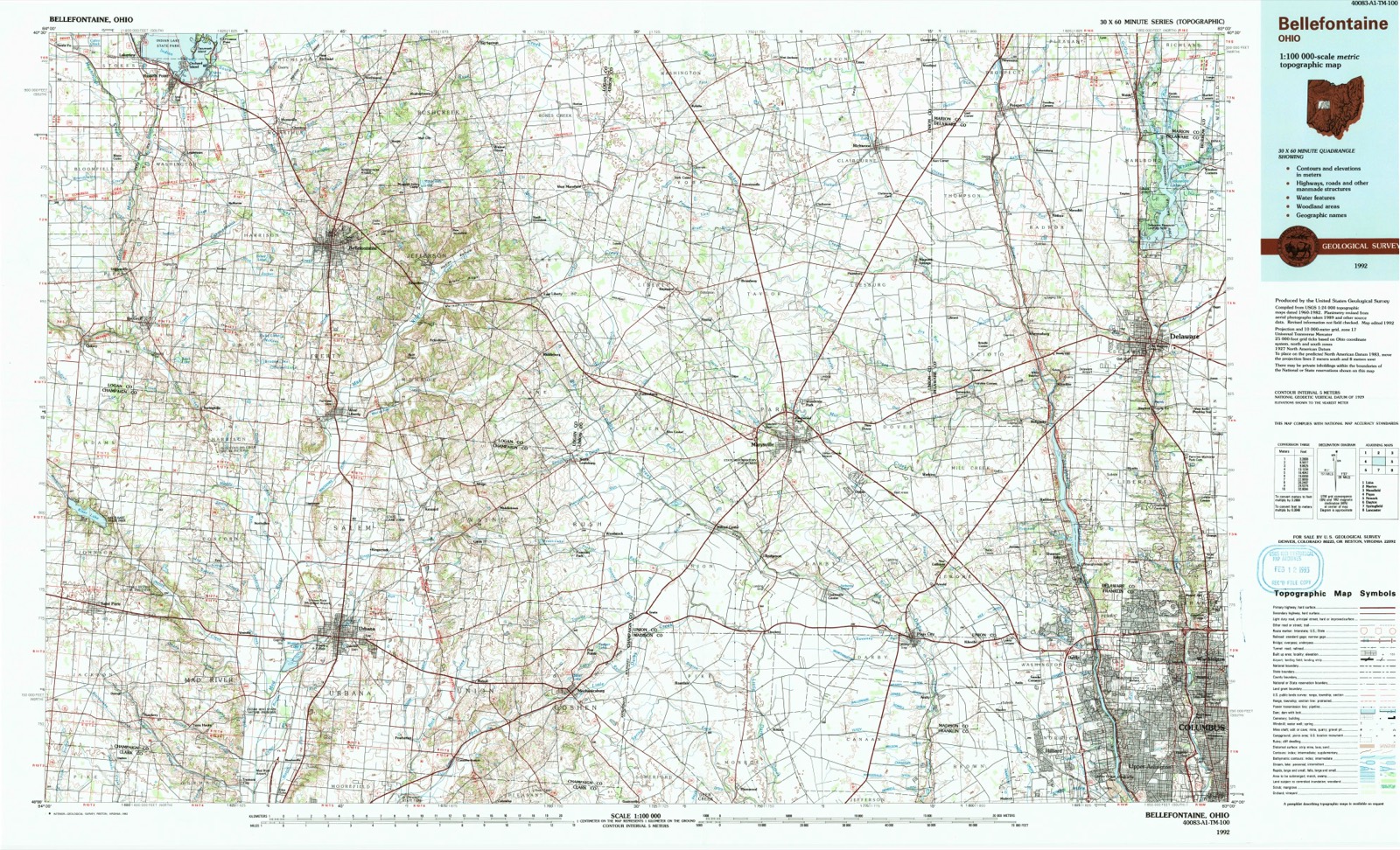
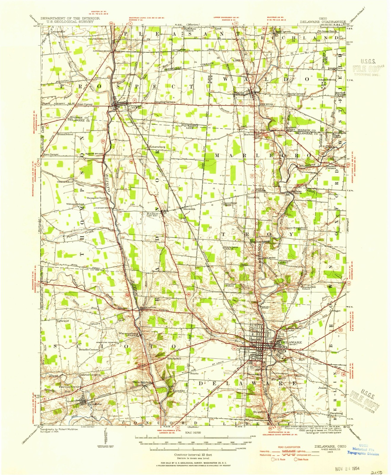
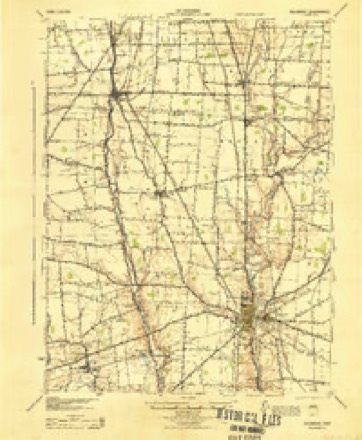
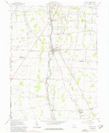
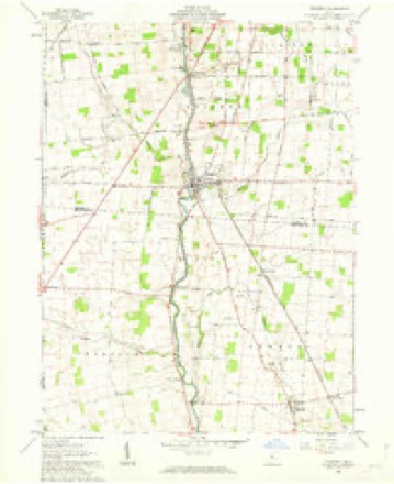
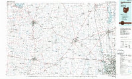
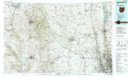
12 topographic sheets cover this place, the earliest surveyed in 1924 and the latest in 1992. It stands in Radnor Township. It lies in ZIP code area 43066. The Survey maps it on the Prospect quadrangle.
Then and now
1924 to 1992The same ground, surveyed 68 years apart. Drag the handle to wipe between them. Both sheets are United States Geological Survey originals; neither has been altered.
Compare 1924 against another survey:
Topographic sheets covering this place
12 sheetsMatched by testing this settlement's coordinate against the published boundary of every sheet in the United States Geological Survey's historical collection. Each opens the scanned sheet at the Survey.
- 1924 USGS Delaware quadrangle1:62500
- 1925 USGS Delaware quadrangle1:62500
- 1944 USGS Delaware quadrangle1:62500
- 1950 USGS Marion quadrangle1:250000
- 1961 USGS Prospect quadrangle1:24000
- 1961 USGS Prospect quadrangle1:24000
- 1962 USGS Marion quadrangle1:250000
- 1966 USGS Marion quadrangle1:250000
- 1966 USGS Marion quadrangle1:250000
- 1966 USGS Marion quadrangle1:250000
- 1986 USGS Bellefontaine quadrangle1:100000
- 1992 USGS Bellefontaine quadrangle1:100000





Specimens collected nearby
12 of 558 shownMuseums hold 558 specimens collected within 10 miles of Radnor between 1871 and 1975: 488 Animalia, 52 Plantae, 14 Fungi, 2 Unrecorded, 2 Protozoa. 12 distinct Species records are shown. Collected by A. Spreitzer & K. Borror, B. R. Laughlin, Binning, M. B. and others. Each is a physical object with a catalogue number, and each entry opens the museum's record. This is what was collected and kept, not a survey of what lives here - nothing can be concluded from a species being absent.
| Image | Species | Year | Collected by | Where, as recorded |
|---|---|---|---|---|
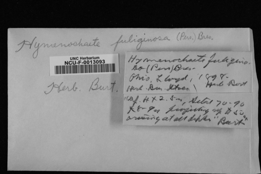 | Hymenochaete fuliginosa (Fr.) Lév. | 1898 | Lloyd | Ohio |
| Vernonia maxima Small | 1871 | Collector unspecified | Scioto | |
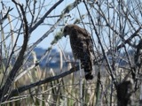 | Buteo lineatus lineatus (Gmelin, 1788) | 1887 | not recorded | Delaware, near Olentangy River |
| Dryobates villosus (Linnaeus, 1766) | 1889 | not recorded | Delaware | |
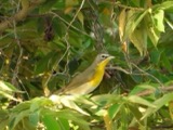 | Icteria virens virens (Linnaeus, 1758) | 1889 | not recorded | Delaware |
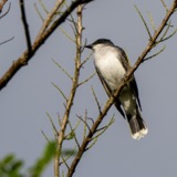 | Tyrannus tyrannus (Linnaeus, 1758) | 1889 | not recorded | Delaware |
 | Falco sparverius sparverius Linnaeus, 1758 | 1890 | not recorded | Delaware |
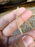 | Muhlenbergia mexicana (L.) Trin. | 1890 | Wilcox, E.V. | Deleware |
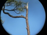 | Chordeiles minor minor (J.R.Forster, 1771) | 1891 | not recorded | Delaware |
 | Colaptes auratus luteus Bangs, 1898 | 1891 | not recorded | Delaware |
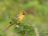 | Icterus spurius spurius (Linnaeus, 1766) | 1891 | not recorded | Delaware |
| Spizella passerina passerina (Bechstein, 1798) | 1891 | not recorded | Delaware |
All 558 specimens within 10 miles, at the Global Biodiversity Information Facility.
Mines and quarries nearby
2 within 5 milesThe federal mineral resources record lists 2 workings within 5 miles of Radnor: 1 past producer, 1 producer. 1 still produces. What was taken out: Limestone, General, Stone, Crushed/Broken. Distance is straight-line from the map coordinates, so a quarry counted here may appear on a neighbouring settlement's page as well.
| Where | Site | Commodity | Status | Recorded |
|---|---|---|---|---|
| Penry Quarry | Limestone, General | Past Producer | Sedimentary | |
| Penry Quarry | Stone, Crushed/Broken | Producer |
Storms nearby
15 since 1996The National Weather Service names Radnor in 15 storm reports between 1996 and 2022: 13 thunderstorm wind, 1 tornado, 1 flood. No death or injury is recorded in these reports. Each account below is quoted exactly as the forecast office filed it, from the NOAA Storm Events Database, and each date opens the federal record of that event.
| When | Event | Place named | Harm | What the report says |
|---|---|---|---|---|
| June 2013 | Tornado (EF0) | Radnor | $200,000 | The tornado briefly touched down on the west side of Highway 257 southwest of Radnor. The tornado initially hit two barns, destroying one and heavily damaging another. One barn consisted of cinder block walls and tin roofing. Much of the cinder block collapsed, while roofing of this structure with some of the attached cinder block and other bard roofing and walls was lifted across Highway 257 where much of the material was wrapped around trees along the Scioto River. Large portions of the barn roofing was lofted over the tree line along the Scioto River and deposited in the back yards of residences along River Road, on the east side of the river, a distance of two tenths of a mile away. Tree damage along the south side of the brief tornado track was lying in a northeast orientation which was inward toward the tornado track which confirms the convergent circulation. Other damage along the path included snapped large trees, complete destruction of a small shed, and large amounts of debris wrapped around trees. Corn stalks were found in yards of residence on the east side of the Scioto River, with the nearest corn fields nearly a quarter of a mile away. Based on the damage surveyed, the maximum wind speed of this tornado was approximately 85 miles per hour. |
| November 1996 | Thunderstorm Wind | Radnor | $15,000 | no account filed |
| July 2003 | Thunderstorm Wind | Radnor | $8,000 | Numerous trees down across the northern part of the county. |
| July 2014 | Thunderstorm Wind | Radnor | $5,000 | A car shelter was destroyed and a few windows were broken in an RV due to thunderstorm winds. Several large limbs were also downed. |
| July 1996 | Thunderstorm Wind | Radnor | $3,000 | no account filed |
| February 2009 | Thunderstorm Wind | Radnor | $2,000 | no account filed |
| August 2021 | Thunderstorm Wind | Radnor | $1,000 | A tree was downed near the intersection of Radnor and River Roads. |
| July 2019 | Thunderstorm Wind | Radnor | $250 | Several large branches were downed on Radnor Road. |
| July 2022 | Thunderstorm Wind | Radnor | - | The wind gust was measured by a personal weather station. |
| July 2013 | Flood | Radnor | - | High water due to heavy rainfall was reported over State Route 203 near Radnor. |
| July 2016 | Thunderstorm Wind | Radnor | - | no account filed |
| July 2013 | Thunderstorm Wind | Radnor | - | no account filed |
| June 2011 | Thunderstorm Wind | Radnor | - | no account filed |
| May 2011 | Thunderstorm Wind | Radnor | - | no account filed |
| April 2006 | Thunderstorm Wind | Radnor | - | no account filed |
Nearest settlements
The eight closest, with where each one stands in the county. Distances are straight-line, computed from the Geographic Names Information System coordinates.
| Map | Place | Distance | Sheets |
|---|---|---|---|
| Meredith | 1.0 miles | 12 | |
| Robertsburg | 2.8 miles | 12 | |
| Troyton | 3.8 miles | 15 | |
| Lantern Chase | 4.9 miles | 13 | |
| Westfield Hills | 5.1 miles | 13 | |
| Norton | 5.3 miles | 15 | |
| Oakdale | 5.4 miles | 13 | |
| Troy Farms | 5.5 miles | 13 |
Provenance
This settlement is recorded in the Geographic Names Information System as feature 1061581. The sheet list is computed by point-in-boundary test against the United States Geological Survey's historical topographic inventory. Both are works of the United States government and carry no copyright under 17 U.S.C. 105.
Specimens. Global Biodiversity Information Facility (GBIF), https://www.gbif.org/. Only records licensed CC0 or CC BY are used. Records licensed CC BY-NC are excluded because this site carries advertising. Images are checked individually and any whose licence is non-commercial, no-derivatives or unreadable is refused.
Mines and quarries. USGS Mineral Resources Data System (MRDS) https://mrdata.usgs.gov/mrds/ A work of the United States government, no copyright under 17 U.S.C. 105.
Storms. NOAA National Centers for Environmental Information, Storm Events Database https://www.ncei.noaa.gov/stormevents/ A work of the United States government, no copyright under 17 U.S.C. 105. Narratives are quoted verbatim from the National Weather Service report and are not edited or summarised.